Elevation of Amity, AR, USA
Location: United States > Arkansas > Clark County > Caddo >
Longitude: -93.461017
Latitude: 34.2648201
Elevation: 156m / 512feet
Barometric Pressure: 99KPa
Elevation Map:
Satellite Map:
Related Photos:

Caney Creek-Arch View

Beautiful day for golf.

#perfect day for #golf at #gwoodcc

#greens are #rolling #perfect #golfcourse is in #great shape. #goodtimes @ #GlenwoodCountryClub
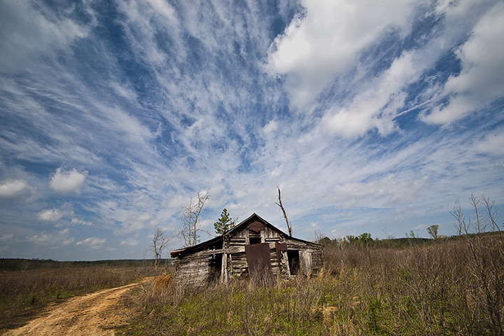
Clark County Barn
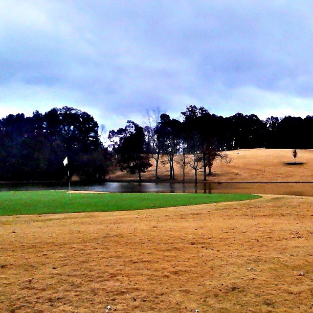
#great day for #winter #golf at #gwoodcc.

Flowering Field

Cutover Clouds

#Goodtimes #golfing

Megan iPhone

Another perfect day.
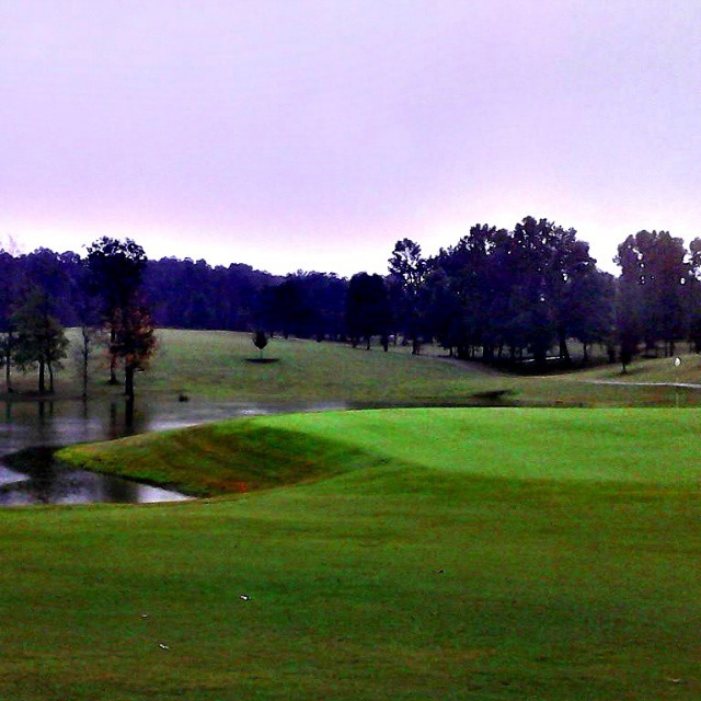
#gwoodcc #goodtimes @gwoodcc

Good times playing #golf #goodtimes @#gwoodcc

#Goodtimes #golfing at #Glenwood Country Club #Perfect #playing #conditions #amazing #sunset
Topographic Map of Amity, AR, USA
Find elevation by address:

Places in Amity, AR, USA:
Places near Amity, AR, USA:
87 Sammie Rd, Amity, AR, USA
119 Maxey Rd
AR-8, Amity, AR, USA
412 Alpine Rd
Clark Township
Glenwood
N 2nd St, Glenwood, AR, USA
Antoine Township
1911 N 1st St
Bonnerdale
Valley Township
Henderson Township
Mt Moriah Rd, Bonnerdale, AR, USA
Pike City Township
12 AR-84, Amity, AR, USA
Caddo Gap
C R 13, Murfreesboro, AR, USA
Shuffield Rd, Bismarck, AR, USA
Caddo Gap
35 Vaught St, Caddo Gap, AR, USA
Recent Searches:
- Elevation of 7 Waterfall Way, Tomball, TX, USA
- Elevation of SW 57th Ave, Portland, OR, USA
- Elevation of Crocker Dr, Vacaville, CA, USA
- Elevation of Pu Ngaol Community Meeting Hall, HWHM+3X7, Krong Saen Monourom, Cambodia
- Elevation of Royal Ontario Museum, Queens Park, Toronto, ON M5S 2C6, Canada
- Elevation of Groblershoop, South Africa
- Elevation of Power Generation Enterprises | Industrial Diesel Generators, Oak Ave, Canyon Country, CA, USA
- Elevation of Chesaw Rd, Oroville, WA, USA
- Elevation of N, Mt Pleasant, UT, USA
- Elevation of 6 Rue Jules Ferry, Beausoleil, France