Elevation of Antoine Township, AR, USA
Location: United States > Arkansas > Pike County >
Longitude: -93.561026
Latitude: 34.2128812
Elevation: 142m / 466feet
Barometric Pressure: 100KPa
Elevation Map:
Satellite Map:
Related Photos:
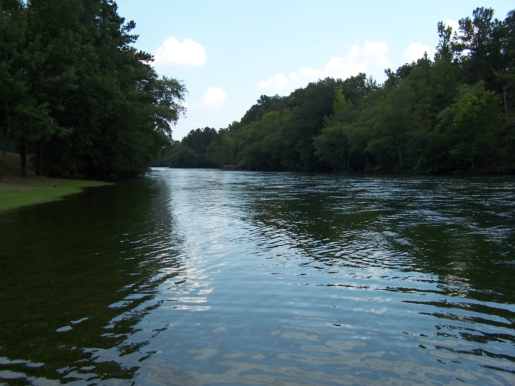
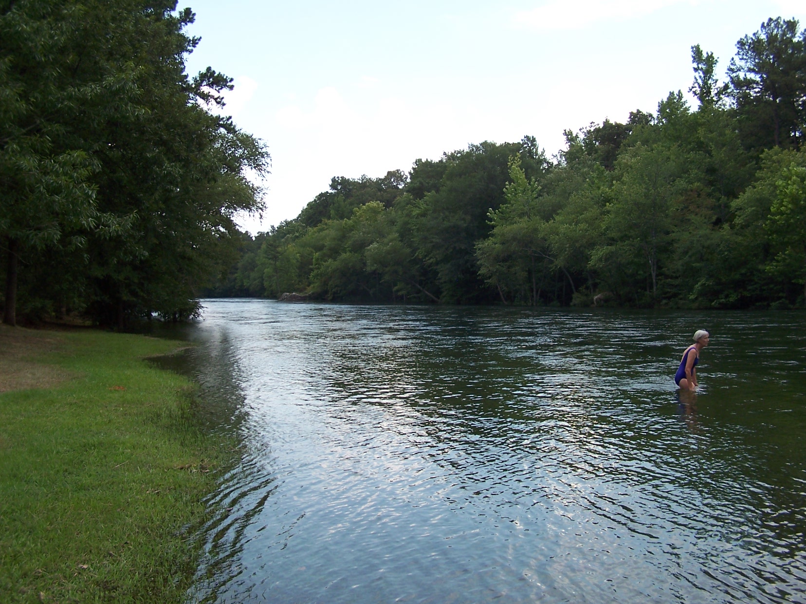
At 111 degrees the water felt nice - View down the river
Another view
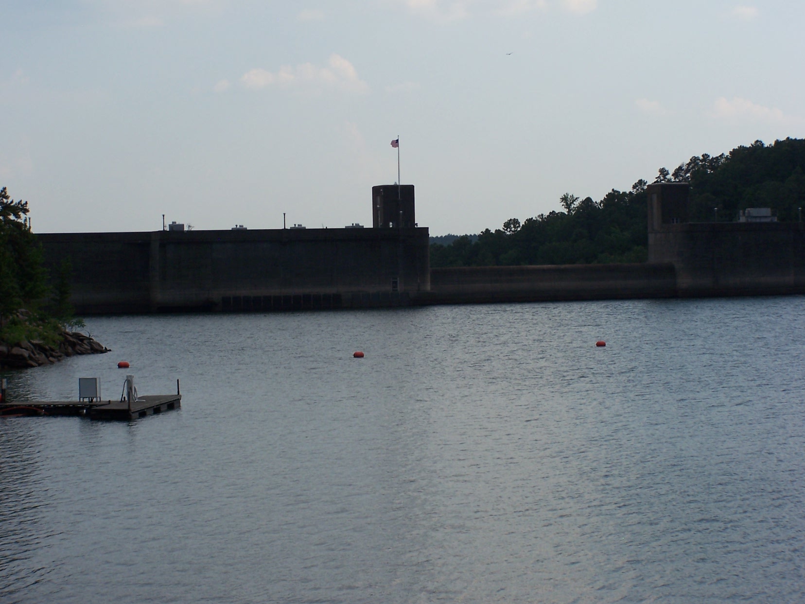
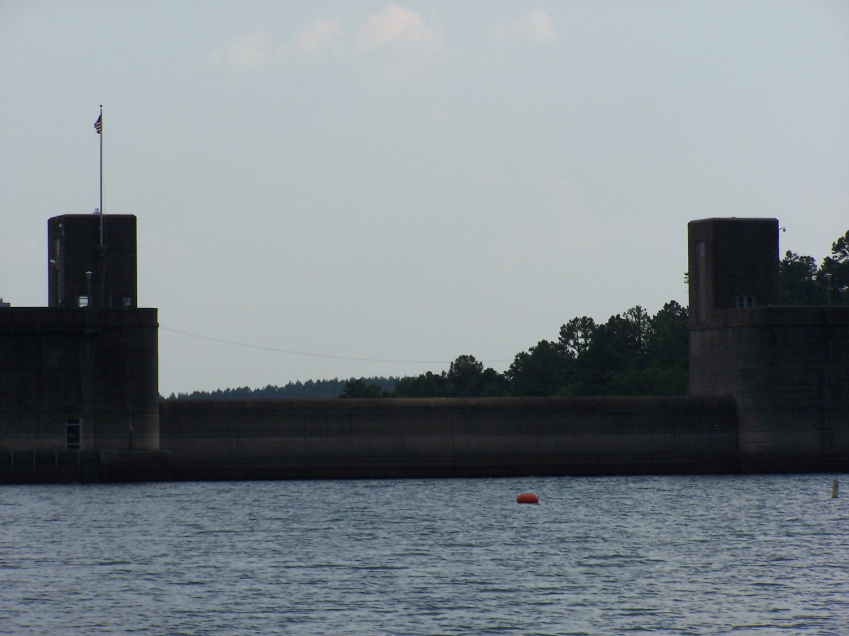
Lake view of Narrows dam

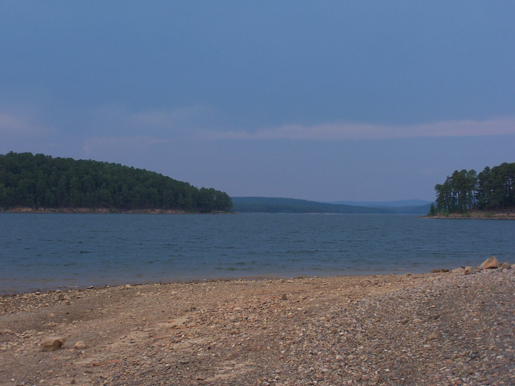
Caney Creek-Arch View

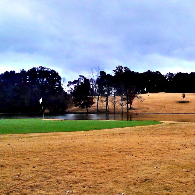
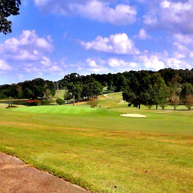
Beautiful day for golf.
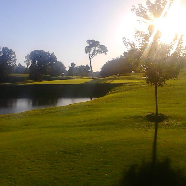
#perfect day for #golf at #gwoodcc

#greens are #rolling #perfect #golfcourse is in #great shape. #goodtimes @ #GlenwoodCountryClub
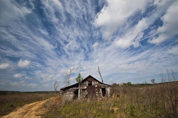
Clark County Barn
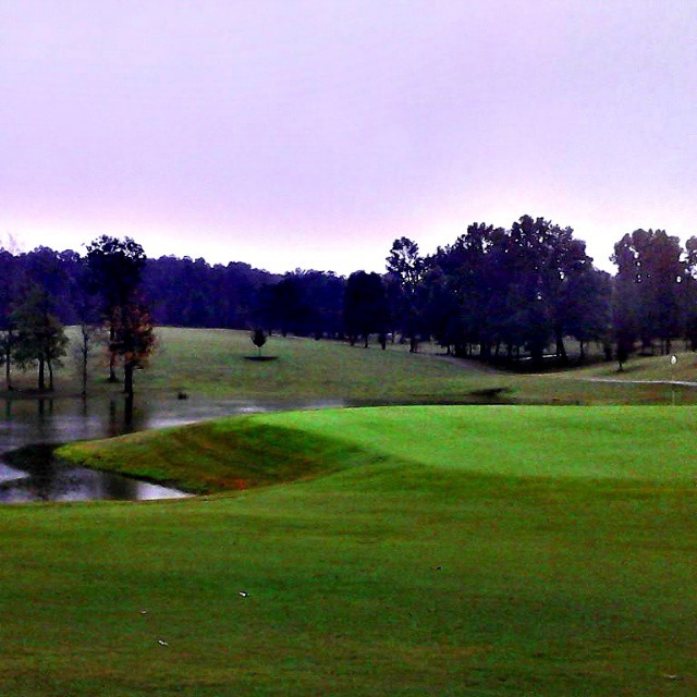
#great day for #winter #golf at #gwoodcc.
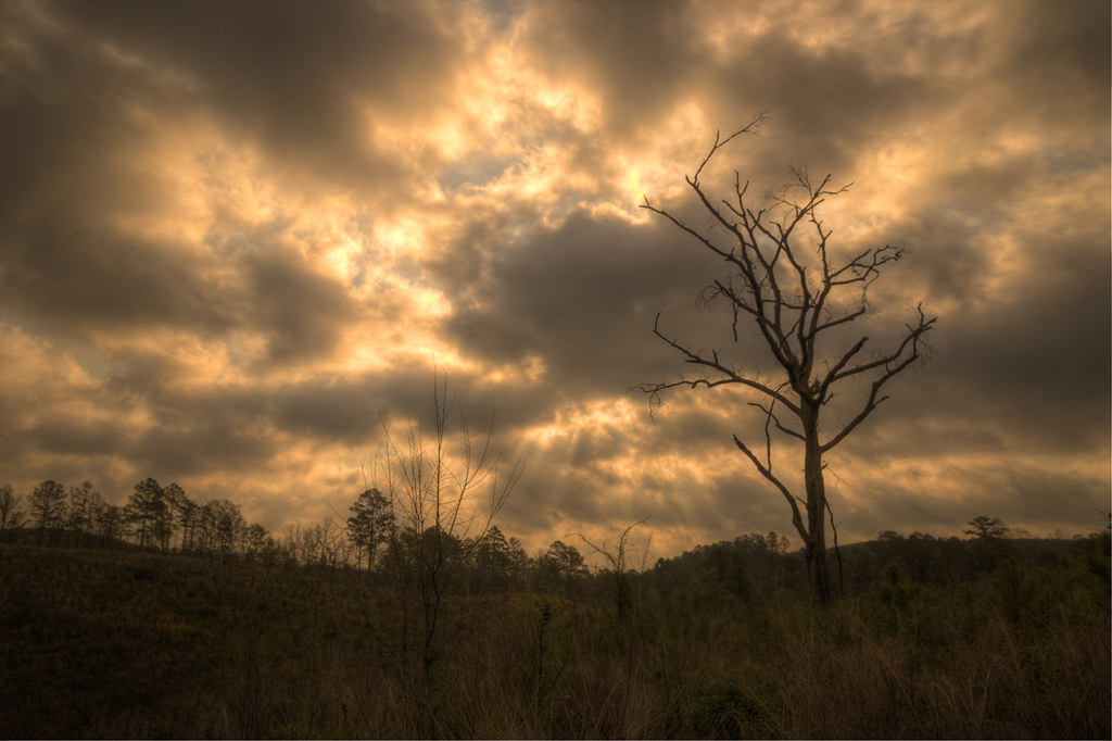
Cutover Clouds
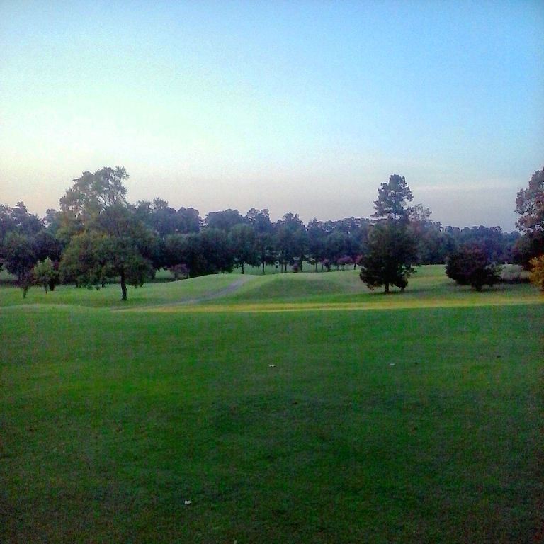
#Goodtimes #golfing

Megan iPhone
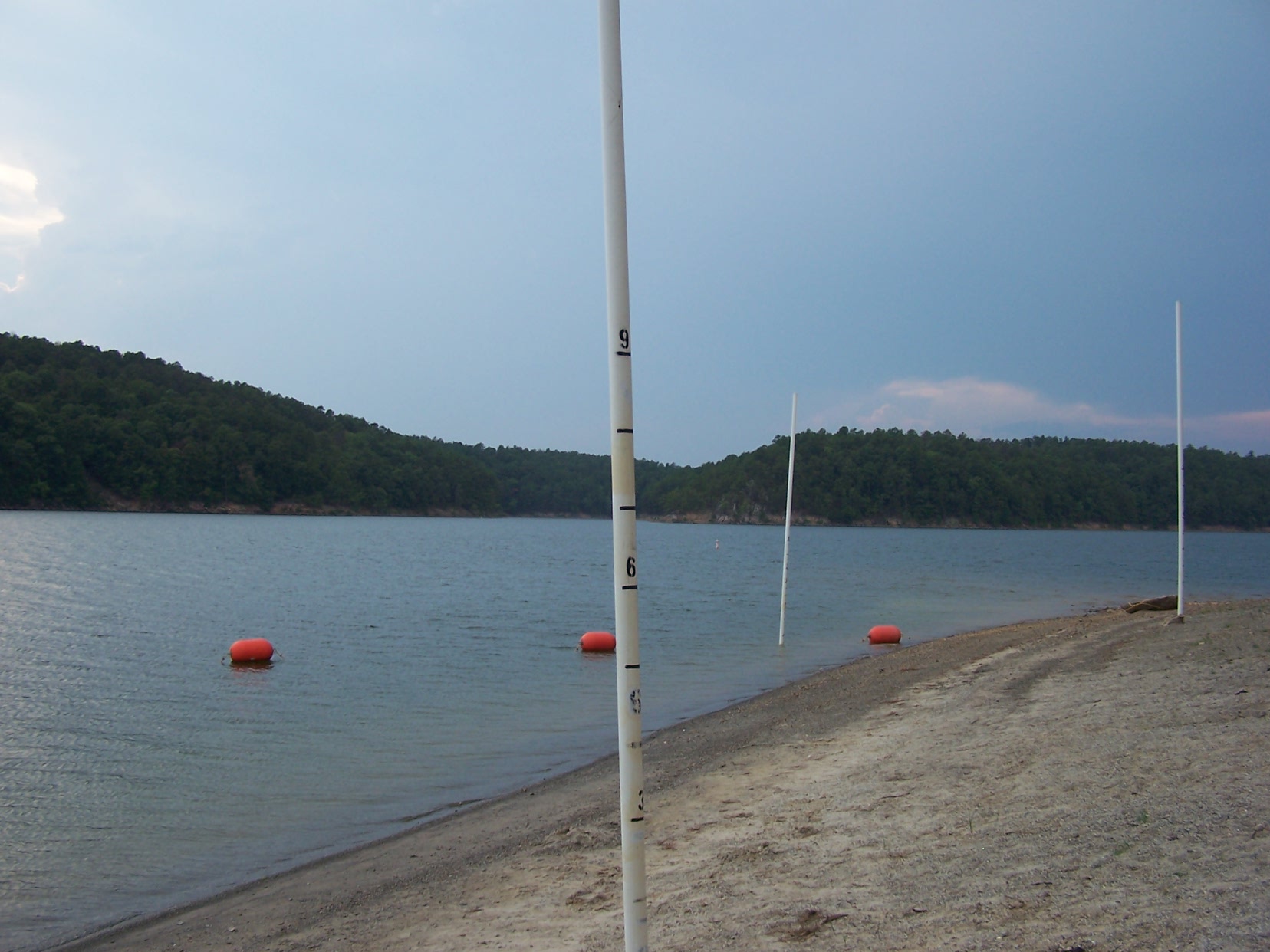
Swimming area. The poles will tell you how deep it is.

Swift current at the bottom of the dam
See, no people!!! Actually we saw one boat coming in.
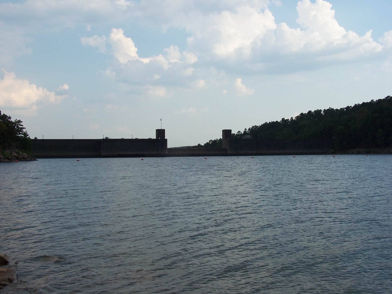
Narrows Dam from Lake Greeson
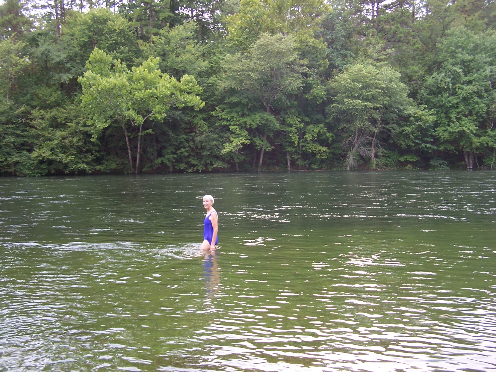
Opted for the swimsuit and took a dip
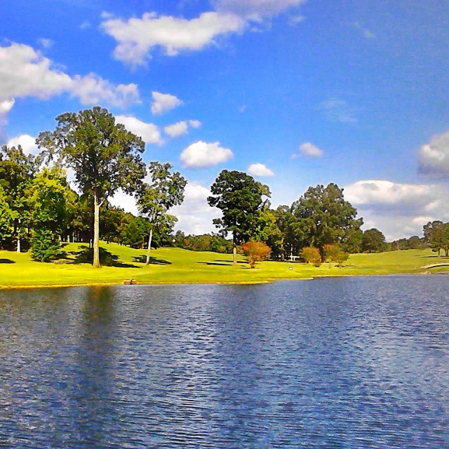
Another perfect day.
#gwoodcc #goodtimes @gwoodcc
Good times playing #golf #goodtimes @#gwoodcc
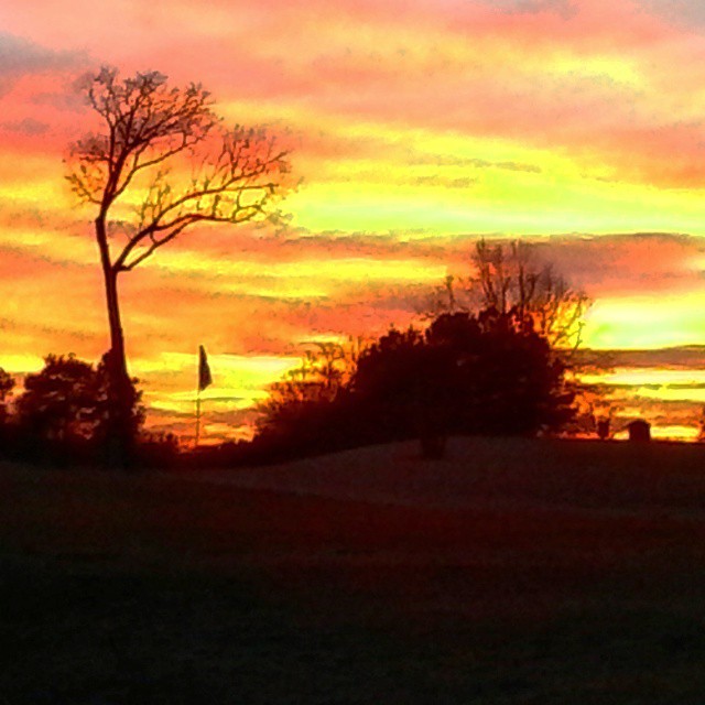
#Goodtimes #golfing at #Glenwood Country Club #Perfect #playing #conditions #amazing #sunset
Little Missouri River
Topographic Map of Antoine Township, AR, USA
Find elevation by address:

Places in Antoine Township, AR, USA:
Places near Antoine Township, AR, USA:
12 AR-84, Amity, AR, USA
Clark Township
Pike City Township
AR-8, Amity, AR, USA
87 Sammie Rd, Amity, AR, USA
119 Maxey Rd
C R 13, Murfreesboro, AR, USA
Pike County
Amity
Glenwood
N 2nd St, Glenwood, AR, USA
1911 N 1st St
Eagle Township
AR-19, Murfreesboro, AR, USA
Missouri Township
Lake Greeson
Lodi
AR-84, Glenwood, AR, USA
Caddo Gap
Thompson Township
Recent Searches:
- Elevation of Congressional Dr, Stevensville, MD, USA
- Elevation of Bellview Rd, McLean, VA, USA
- Elevation of Stage Island Rd, Chatham, MA, USA
- Elevation of Shibuya Scramble Crossing, 21 Udagawacho, Shibuya City, Tokyo -, Japan
- Elevation of Jadagoniai, Kaunas District Municipality, Lithuania
- Elevation of Pagonija rock, Kranto 7-oji g. 8"N, Kaunas, Lithuania
- Elevation of Co Rd 87, Jamestown, CO, USA
- Elevation of Tenjo, Cundinamarca, Colombia
- Elevation of Côte-des-Neiges, Montreal, QC H4A 3J6, Canada
- Elevation of Bobcat Dr, Helena, MT, USA