Elevation of Glenora Rd, West Bay Road, NS B0E 3L0, Canada
Location: Canada > Nova Scotia > Inverness County > Inverness, Subd. C >
Longitude: -61.291926
Latitude: 45.734957
Elevation: 21m / 69feet
Barometric Pressure: 0KPa
Related Photos:
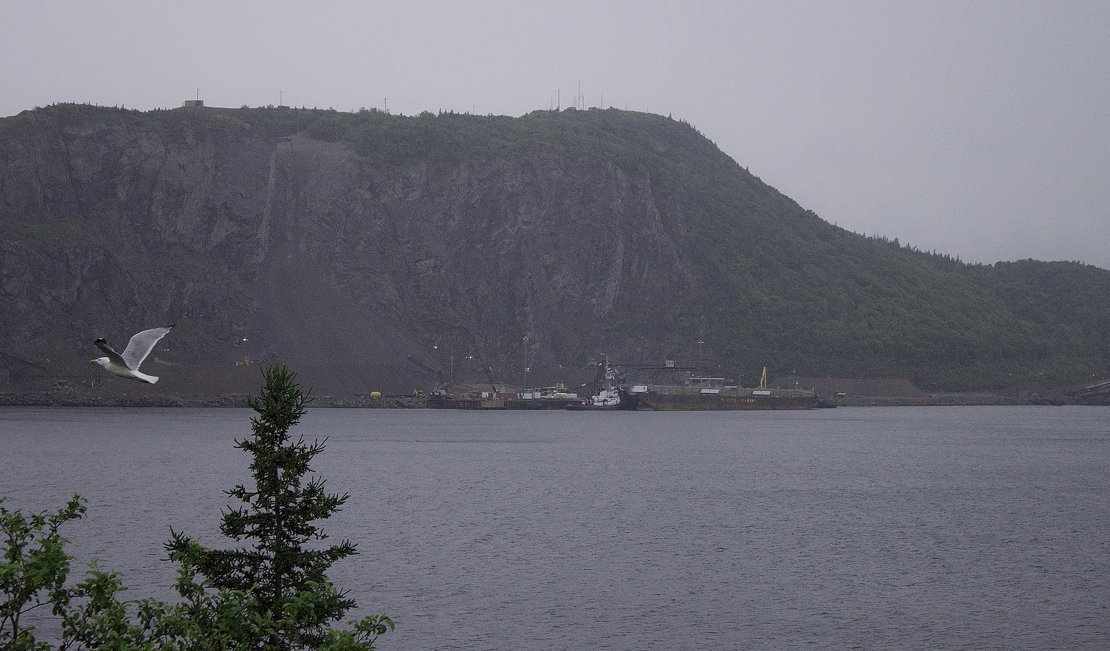
Gull-iver’s Travels . . or . . Canso Causeway Canal
Nova Scotia

Mulgrave... Nova Scotia

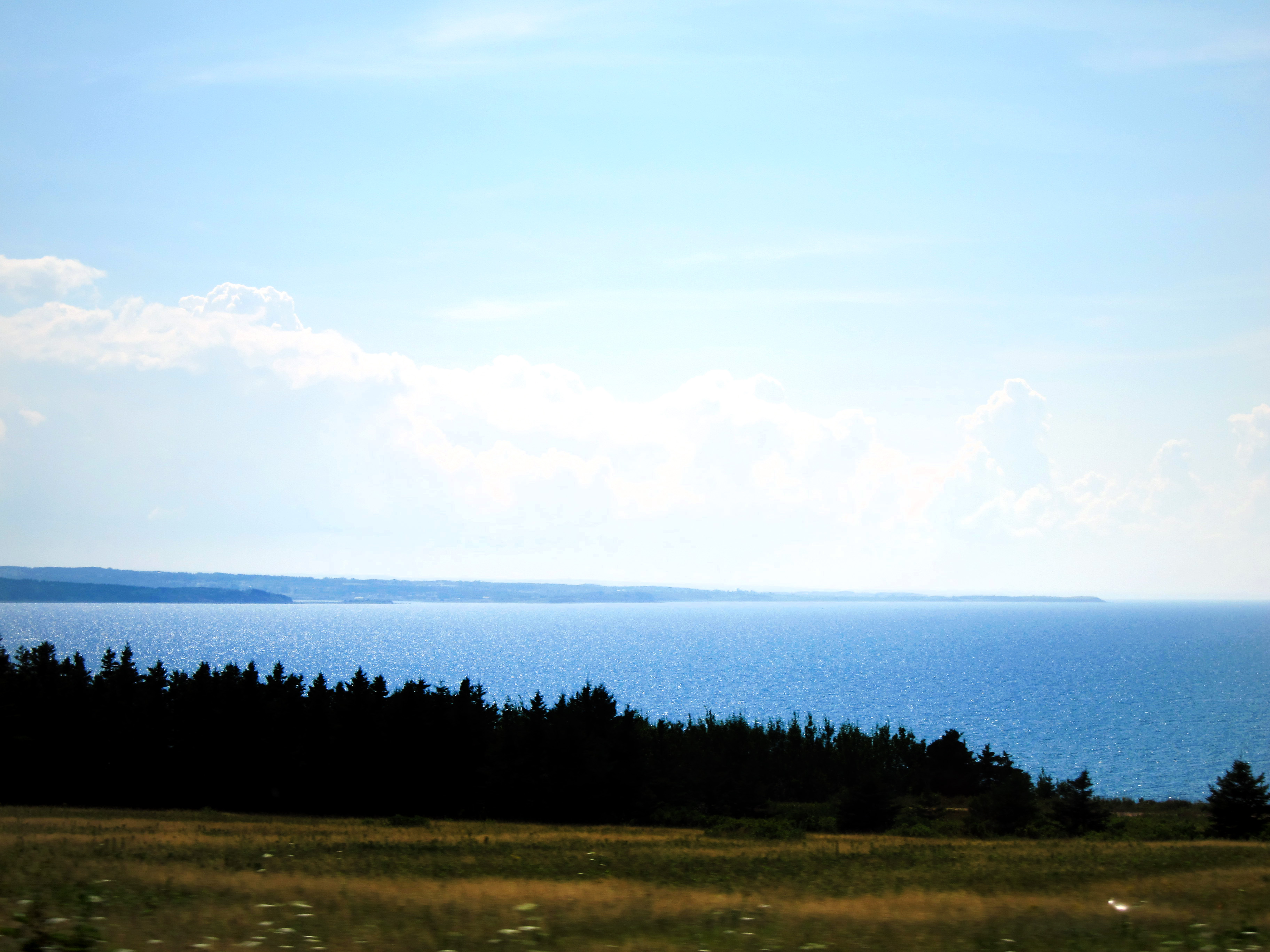
Cape Breton Sunset

Mulgrave......Nova Scotia.....Canada

Dundee on the Bras D Or Lake

Cape Breton, Nova Scotia

Port Hawkesbury Tugboats
Ceilidh Trail
Cape Breaton07 089
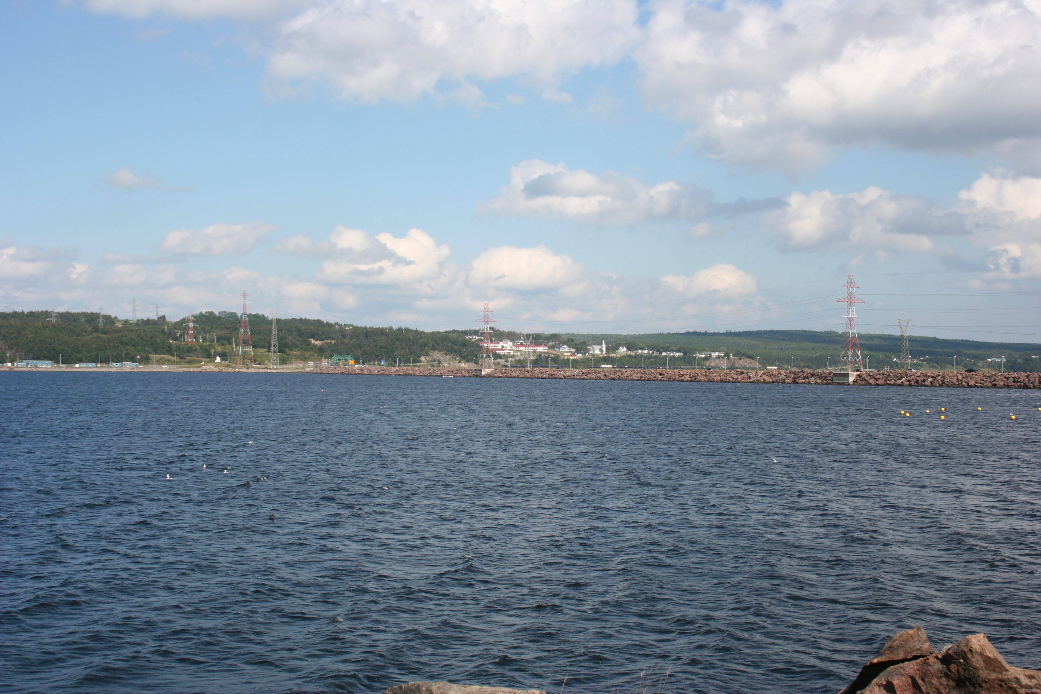
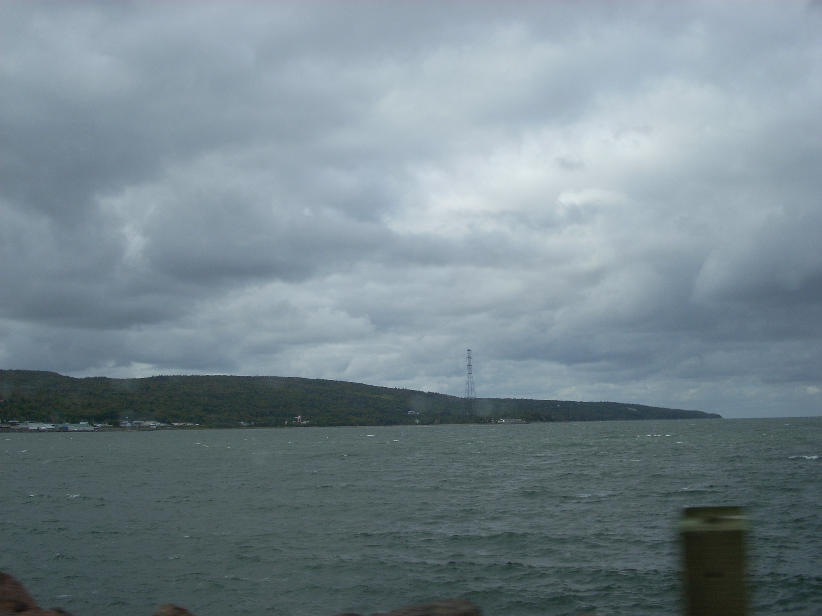
Canso Causeway
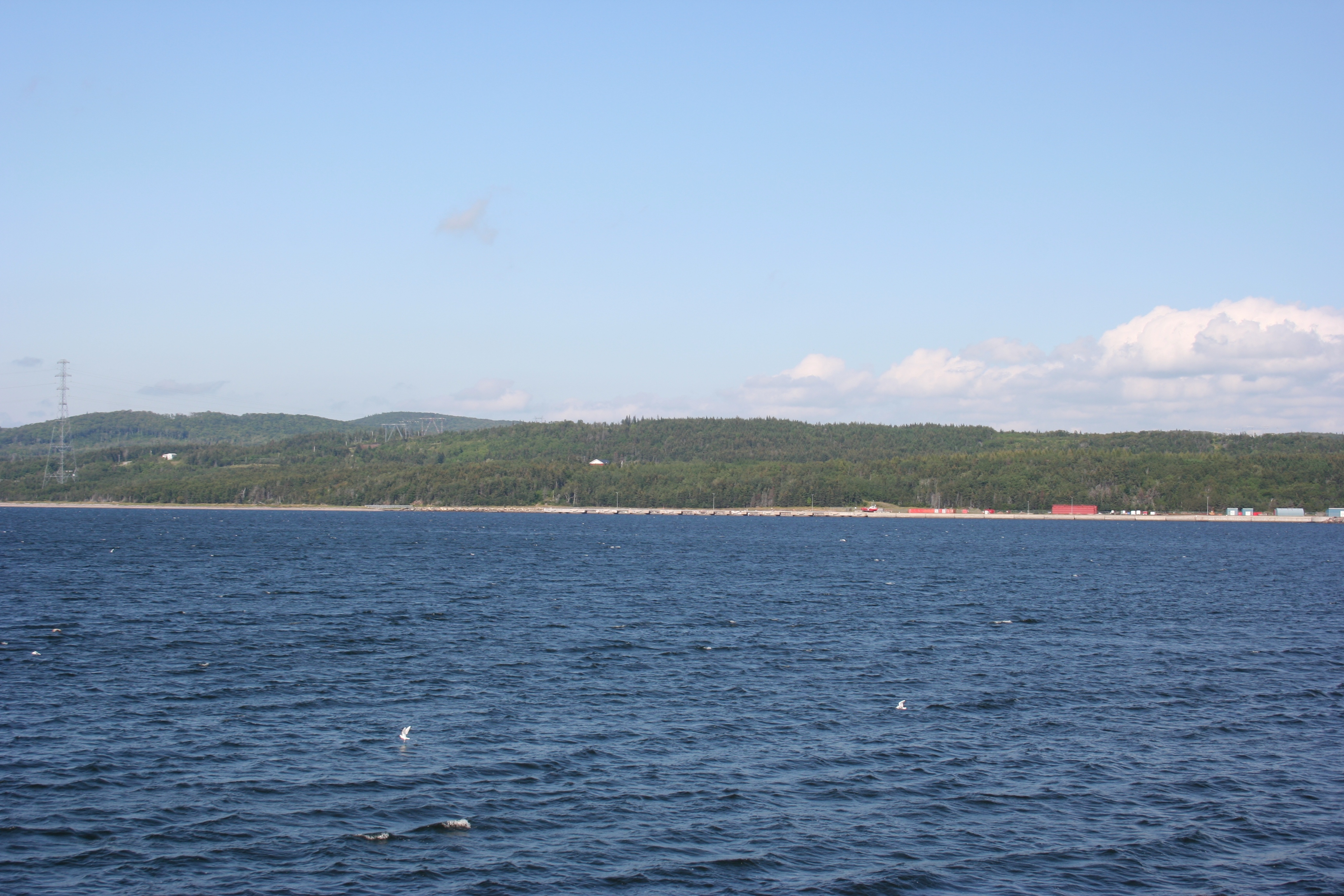
Aulds Cove
Topographic Map of Glenora Rd, West Bay Road, NS B0E 3L0, Canada
Find elevation by address:

Places near Glenora Rd, West Bay Road, NS B0E 3L0, Canada:
West Bay Road
Riverside Rd, West Bay Road, NS B0E 3L0, Canada
Macmaster Rd, Queensville, NS B9A 1S3, Canada
NS-4, Melville, NS B9A 1Y2, Canada
11 County Line Rd, Cleveland, NS B0E 1J0, Canada
Cleveland
River Denys Mountain Rd, West Bay Road, NS B0E 3L0, Canada
Melville
Port Hawkesbury
3 Macleod Rd, Cleveland, NS B0E 1J0, Canada
Inverness, Subd. C
B9a
Port Hastings
9 Old Victoria Rd, Port Hastings, NS B9A 1L2, Canada
1508 N Side River Denys Rd
River Denys
Macleod Road
Mackenzie Point Road
MacLean Rd, Judique, NS B0E 1P0, Canada
20 Simeans Ln
Recent Searches:
- Elevation map of Greenland, Greenland
- Elevation of Sullivan Hill, New York, New York, 10002, USA
- Elevation of Morehead Road, Withrow Downs, Charlotte, Mecklenburg County, North Carolina, 28262, USA
- Elevation of 2800, Morehead Road, Withrow Downs, Charlotte, Mecklenburg County, North Carolina, 28262, USA
- Elevation of Yangbi Yi Autonomous County, Yunnan, China
- Elevation of Pingpo, Yangbi Yi Autonomous County, Yunnan, China
- Elevation of Mount Malong, Pingpo, Yangbi Yi Autonomous County, Yunnan, China
- Elevation map of Yongping County, Yunnan, China
- Elevation of North 8th Street, Palatka, Putnam County, Florida, 32177, USA
- Elevation of 107, Big Apple Road, East Palatka, Putnam County, Florida, 32131, USA
- Elevation of Jiezi, Chongzhou City, Sichuan, China
- Elevation of Chongzhou City, Sichuan, China
- Elevation of Huaiyuan, Chongzhou City, Sichuan, China
- Elevation of Qingxia, Chengdu, Sichuan, China
- Elevation of Corso Fratelli Cairoli, 35, Macerata MC, Italy
- Elevation of Tallevast Rd, Sarasota, FL, USA
- Elevation of 4th St E, Sonoma, CA, USA
- Elevation of Black Hollow Rd, Pennsdale, PA, USA
- Elevation of Oakland Ave, Williamsport, PA, USA
- Elevation of Pedrógão Grande, Portugal