Elevation of 9 Old Victoria Rd, Port Hastings, NS B9A 1L2, Canada
Location: Canada > Nova Scotia > Inverness County > Inverness, Subd. C > Port Hastings >
Longitude: -61.403328
Latitude: 45.646662
Elevation: 23m / 75feet
Barometric Pressure: 101KPa
Elevation Map:
Satellite Map:
Related Photos:
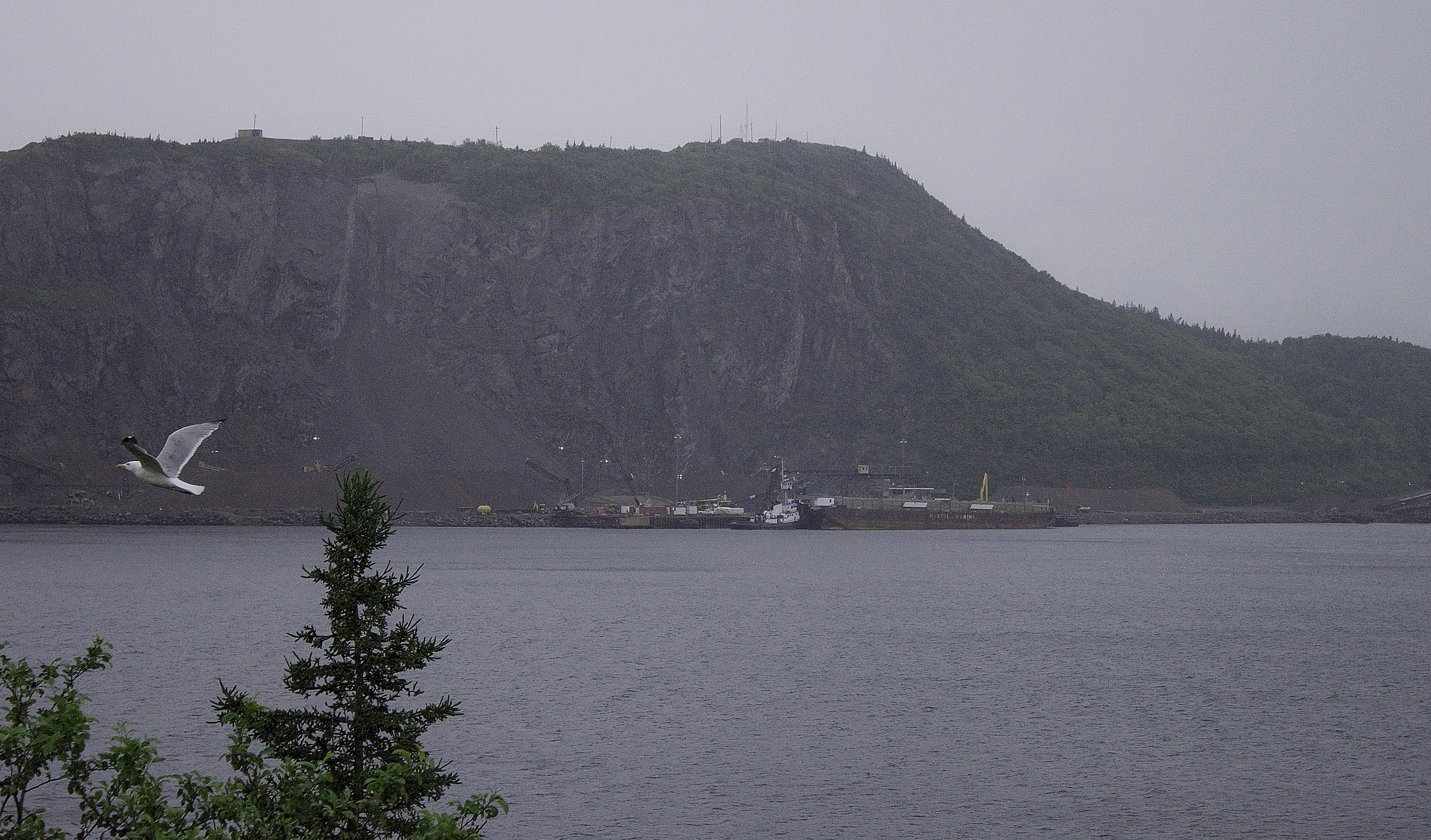
Gull-iver’s Travels . . or . . Canso Causeway Canal
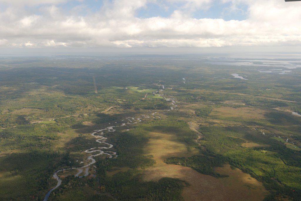
Nova Scotia
DSC_1735 [640x480]
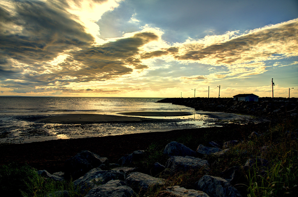
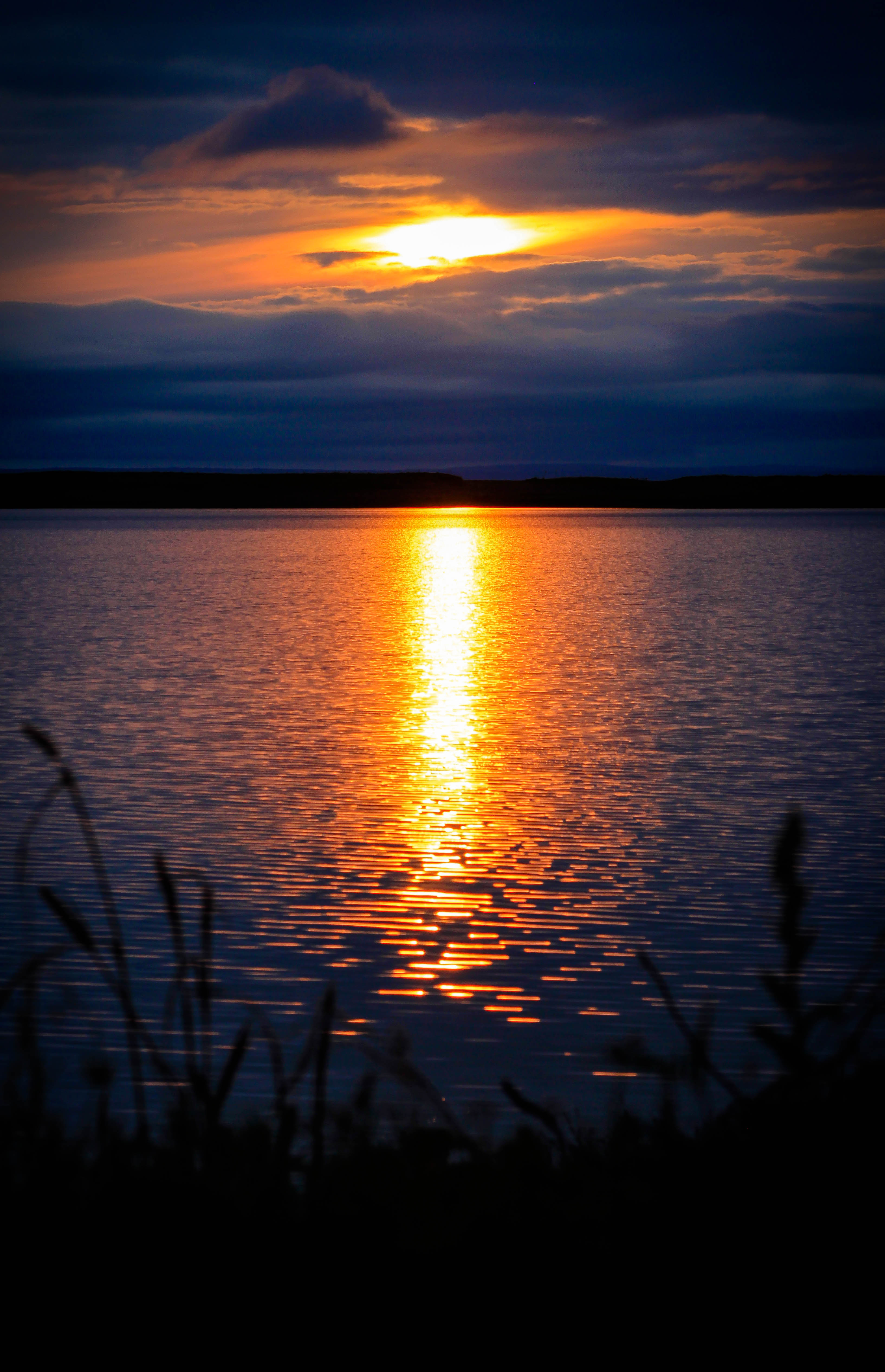
Cape Breton Sunset
Linwood sunset
#beach #capejack #antigonish #novascotia #sky

Mulgrave... Nova Scotia

Nov. 12, 2012 019

Mulgrave......Nova Scotia.....Canada

Nov. 12, 2012 019
Nov. 12, 2012 019

Nov. 12, 2012 019

Nov. 12, 2012 002

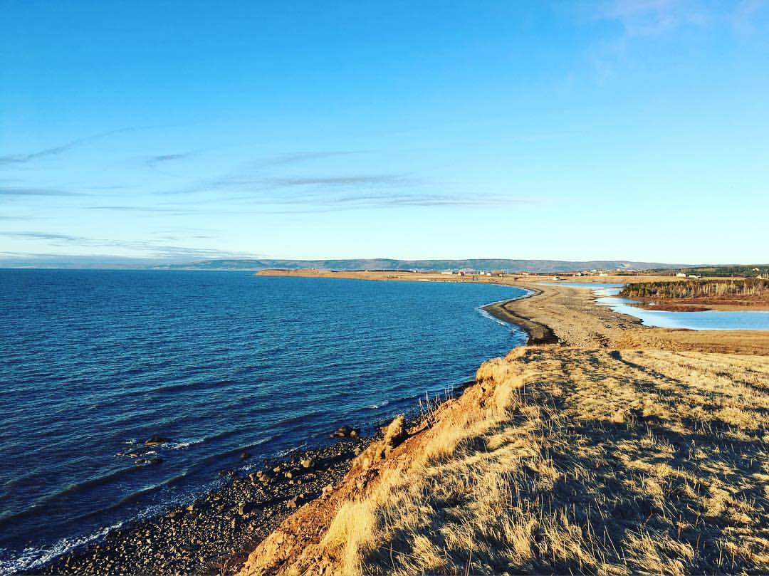
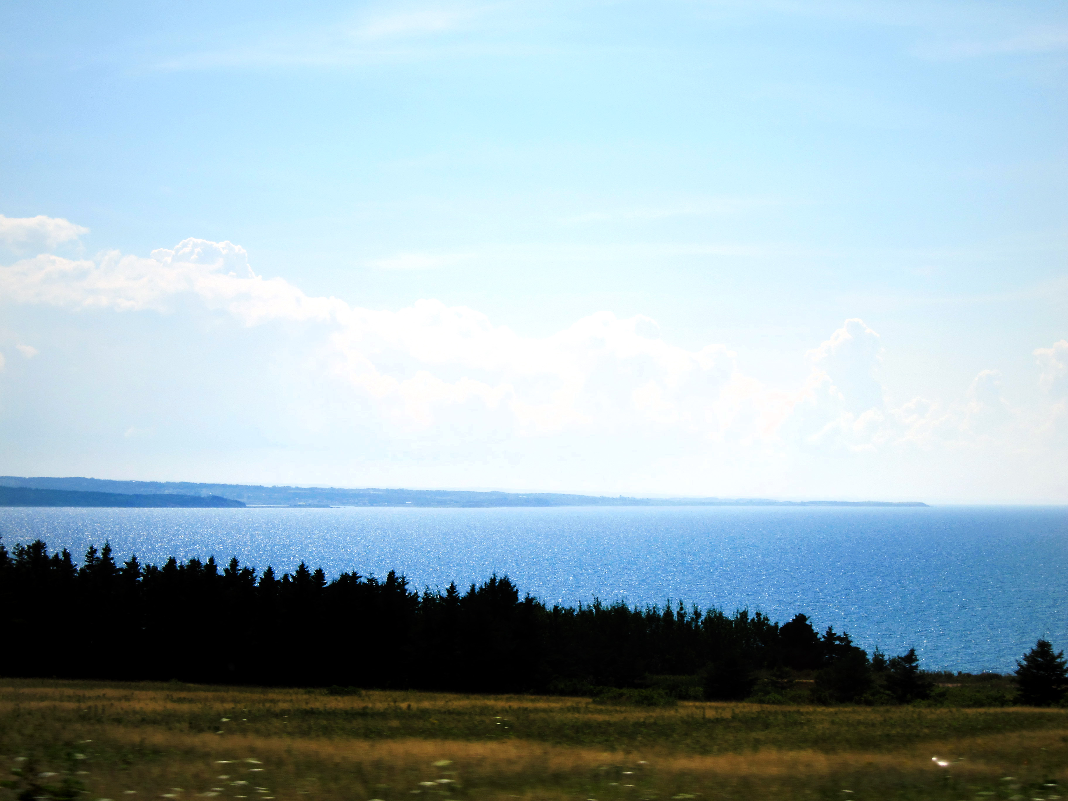
Cape Breton, Nova Scotia
Nov. 12, 2012 002

Nov. 12, 2012 002

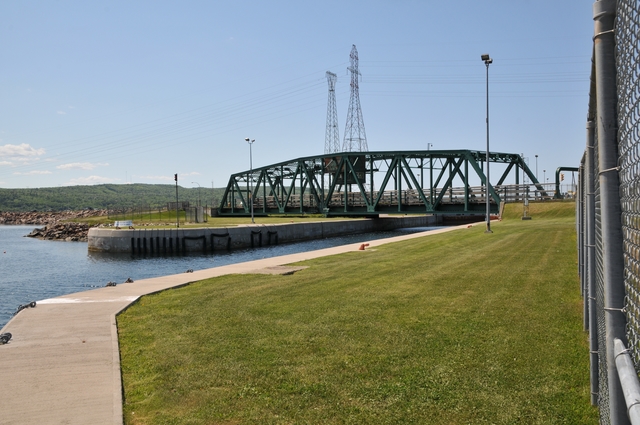
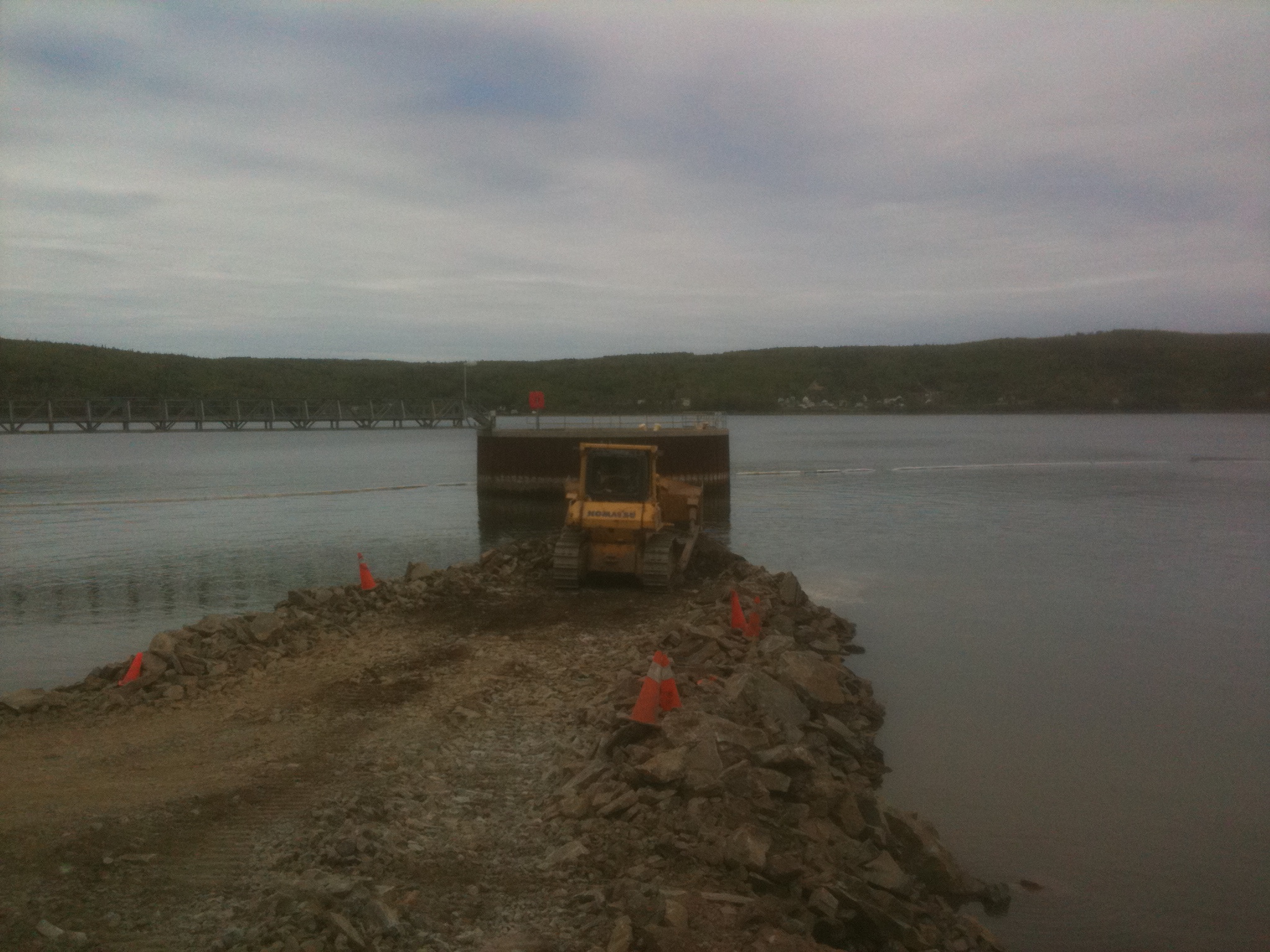
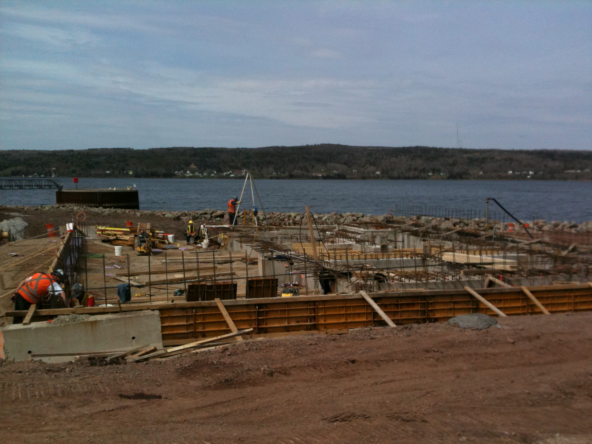
Port Hawkesbury Tugboats

Nov. 12, 2012 002
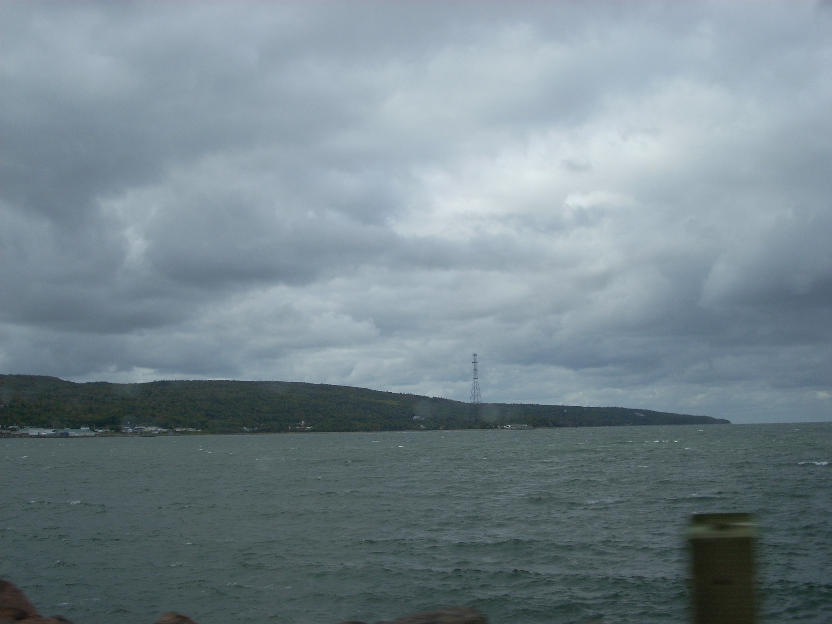
Ceilidh Trail

Nov. 12, 2012 001
Nov. 12, 2012 001
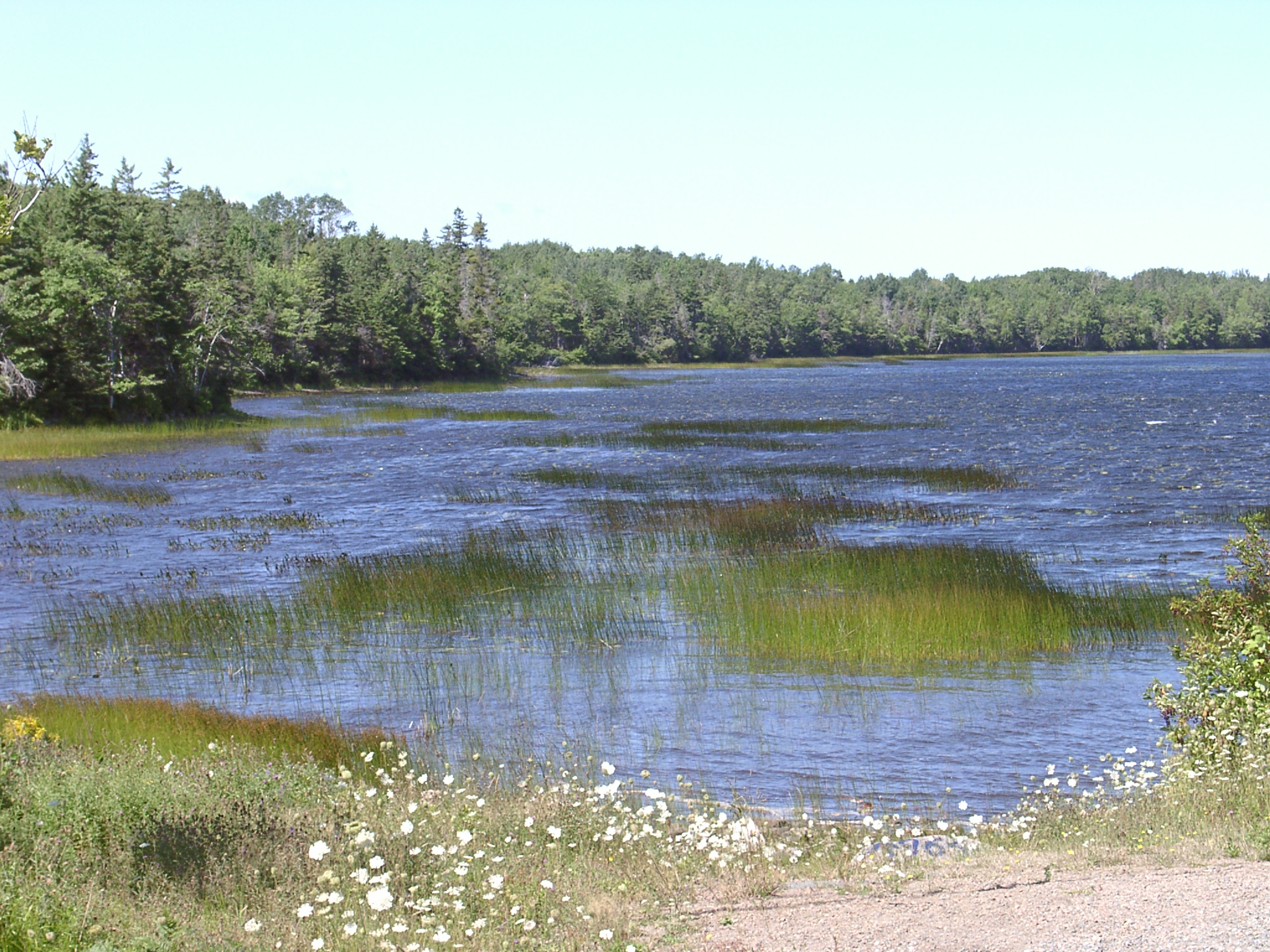
Barrios Beach

Nov. 12, 2012 001
Cape Breaton07 089
Topographic Map of 9 Old Victoria Rd, Port Hastings, NS B9A 1L2, Canada
Find elevation by address:

Places near 9 Old Victoria Rd, Port Hastings, NS B9A 1L2, Canada:
Port Hastings
Port Hawkesbury
B9a
Melville
197 Lighthouse Rd
7 Lighthouse Rd, Havre Boucher, NS B0H 1P0, Canada
Macmaster Rd, Queensville, NS B9A 1S3, Canada
Pirate Harbour Road
NS-4, Melville, NS B9A 1Y2, Canada
Old Mulgrave Rd, Havre Boucher, NS B0H 1P0, Canada
Havre Boucher
Glenora Rd, West Bay Road, NS B0E 3L0, Canada
4 New Rd, Havre Boucher, NS B0H 1P0, Canada
Riverside Rd, West Bay Road, NS B0E 3L0, Canada
West Bay Road
Mattie Rd, Monastery, NS B0H 1W0, Canada
Antigonish, Subd. B
11 County Line Rd, Cleveland, NS B0E 1J0, Canada
Cleveland
19 Mary Ann Dr, Judique, NS B0E 1P0, Canada
Recent Searches:
- Elevation of Gateway Blvd SE, Canton, OH, USA
- Elevation of East W.T. Harris Boulevard, E W.T. Harris Blvd, Charlotte, NC, USA
- Elevation of West Sugar Creek, Charlotte, NC, USA
- Elevation of Wayland, NY, USA
- Elevation of Steadfast Ct, Daphne, AL, USA
- Elevation of Lagasgasan, X+CQH, Tiaong, Quezon, Philippines
- Elevation of Rojo Ct, Atascadero, CA, USA
- Elevation of Flagstaff Drive, Flagstaff Dr, North Carolina, USA
- Elevation of Avery Ln, Lakeland, FL, USA
- Elevation of Woolwine, VA, USA