Elevation of N Side River Denys Rd, River Denys, NS B0E 2Y0, Canada
Location: Canada > Nova Scotia > Inverness County > Inverness, Subd. C > River Denys >
Longitude: -61.180678
Latitude: 45.8372772
Elevation: 11m / 36feet
Barometric Pressure: 101KPa
Elevation Map:
Satellite Map:
Related Photos:

Marble Point view - Nova Scotia

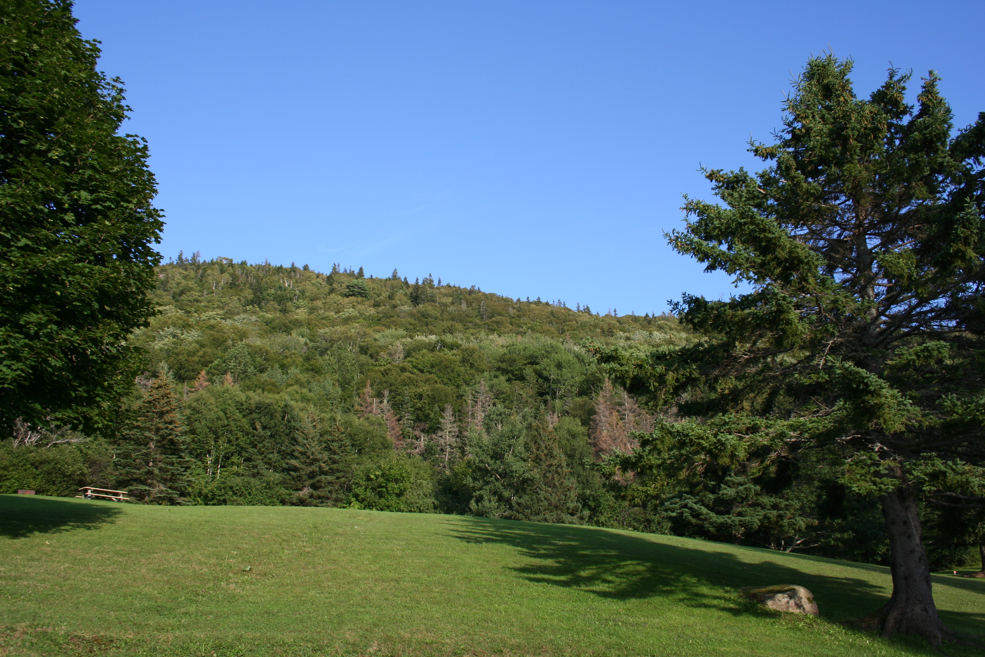
Under the top
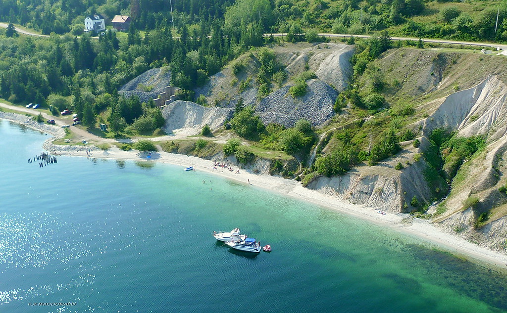
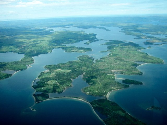
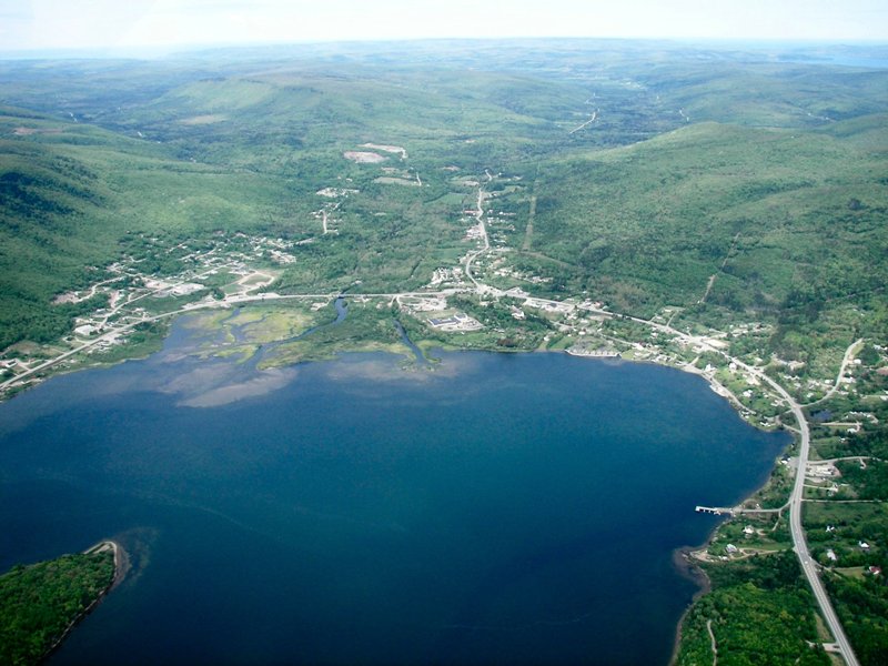
Marble Mountain, Cape Breton N.S. aerial photo

On your mark, get set...

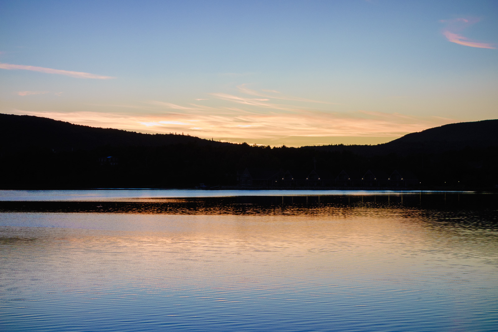
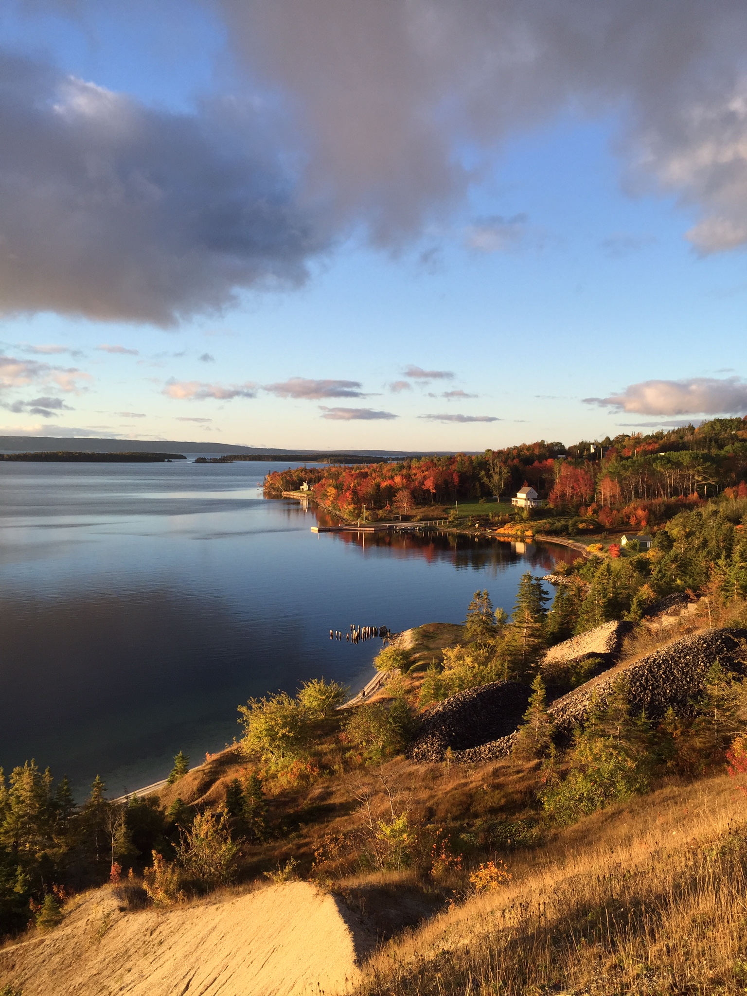
Sunset in Whycocomagh

Cape Breton, Nova Scotia
130906-184815.jpg
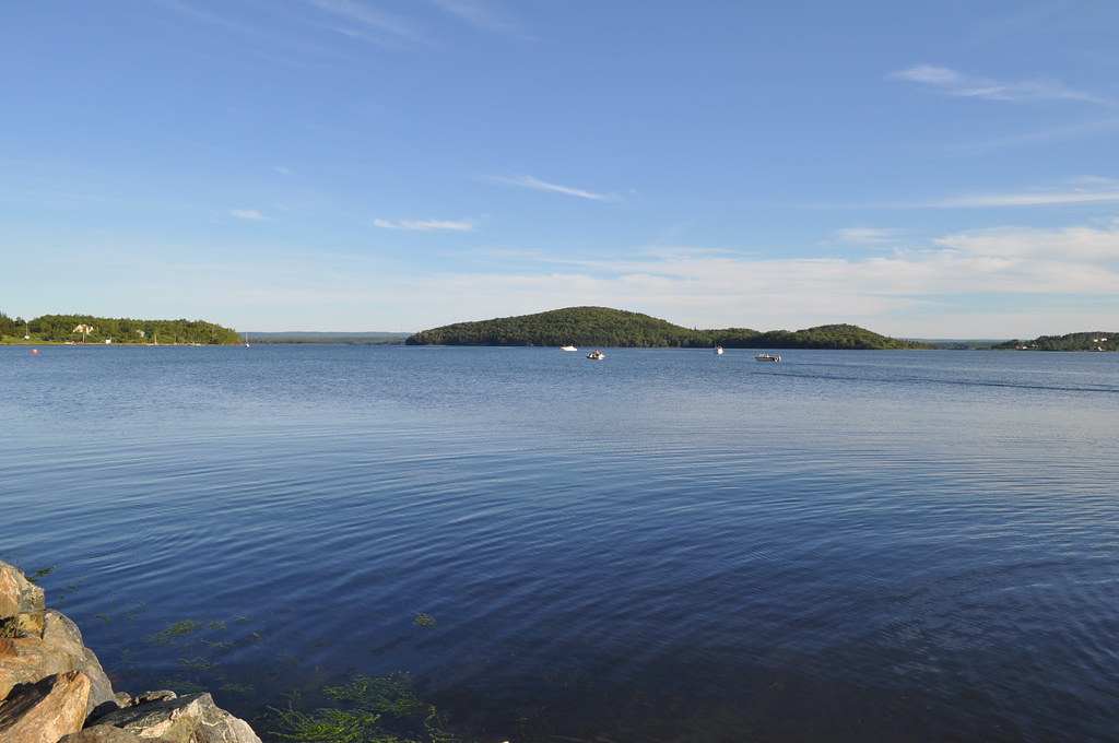
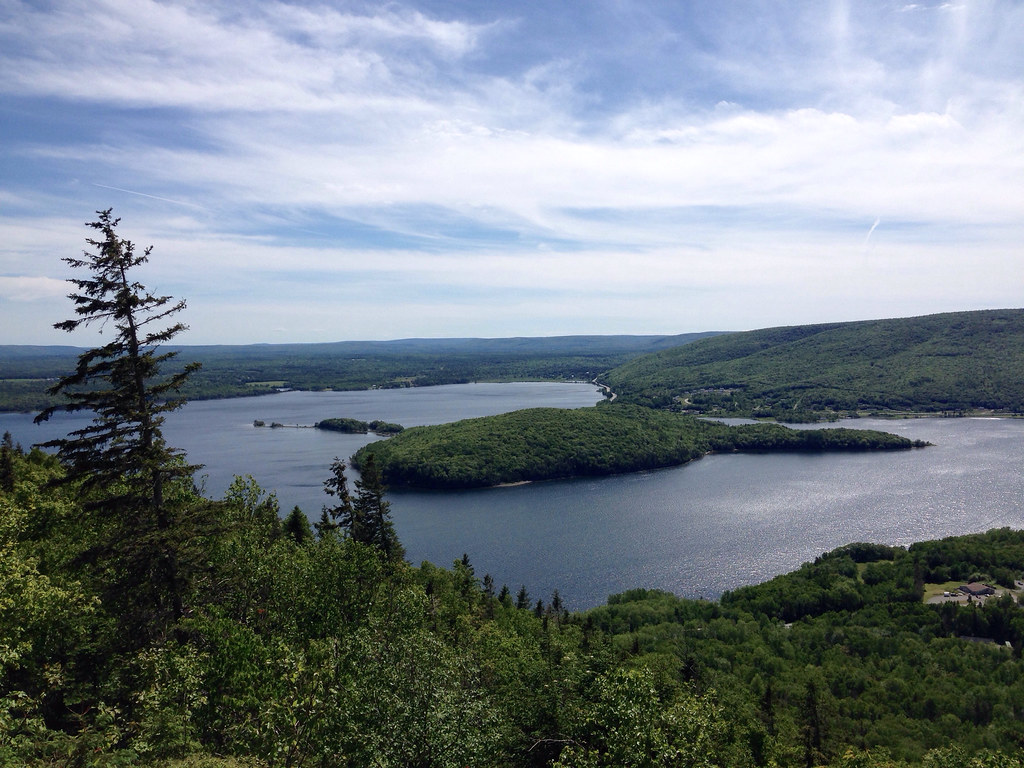
Whycocomagh Bay

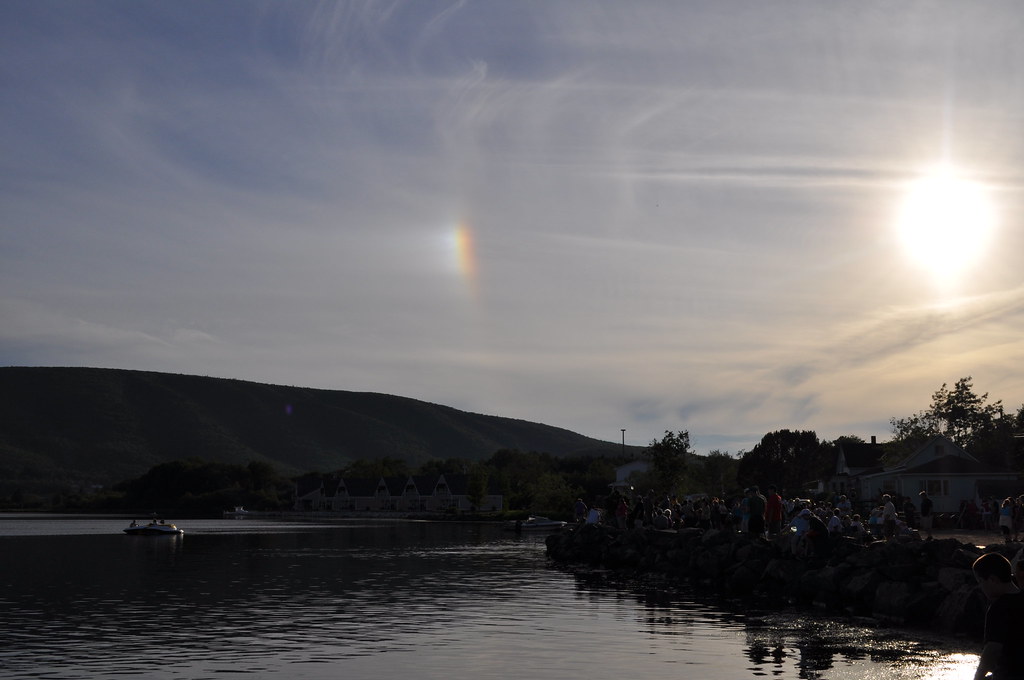
Rainbow reflection
Whycocomagh Bay
Along the shores of Hogamagh
Whycocomagh Provincial Park
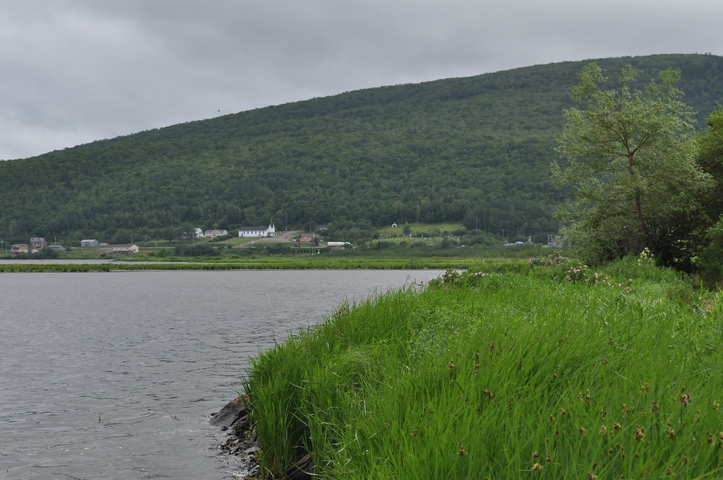
Whycocomagh Bay
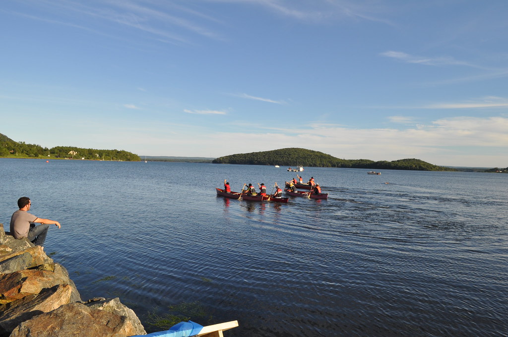
Go!
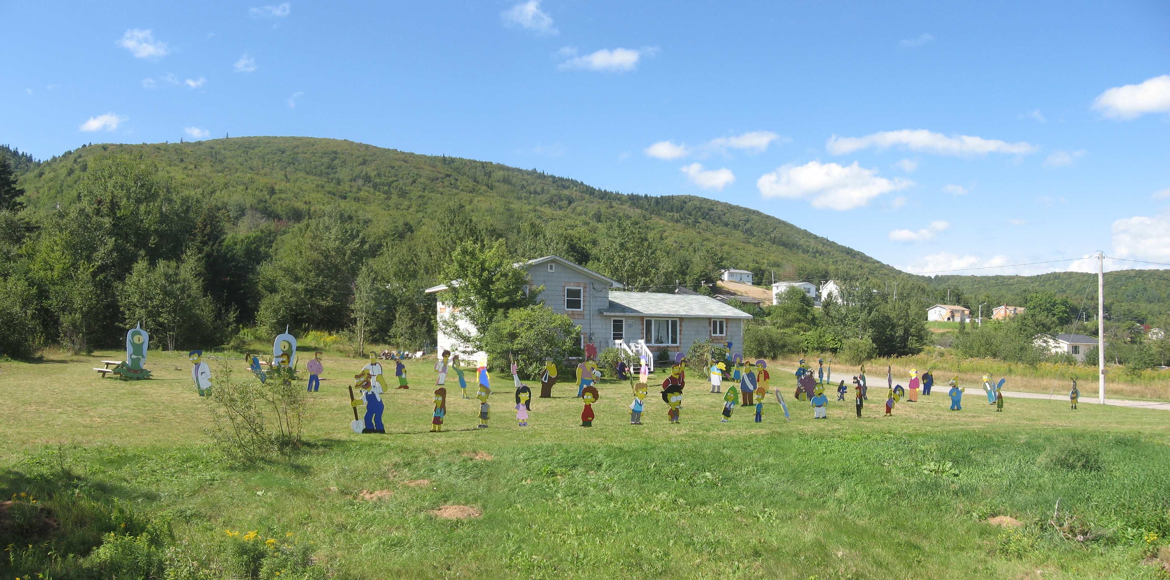
Scope of the Simpsons lawn
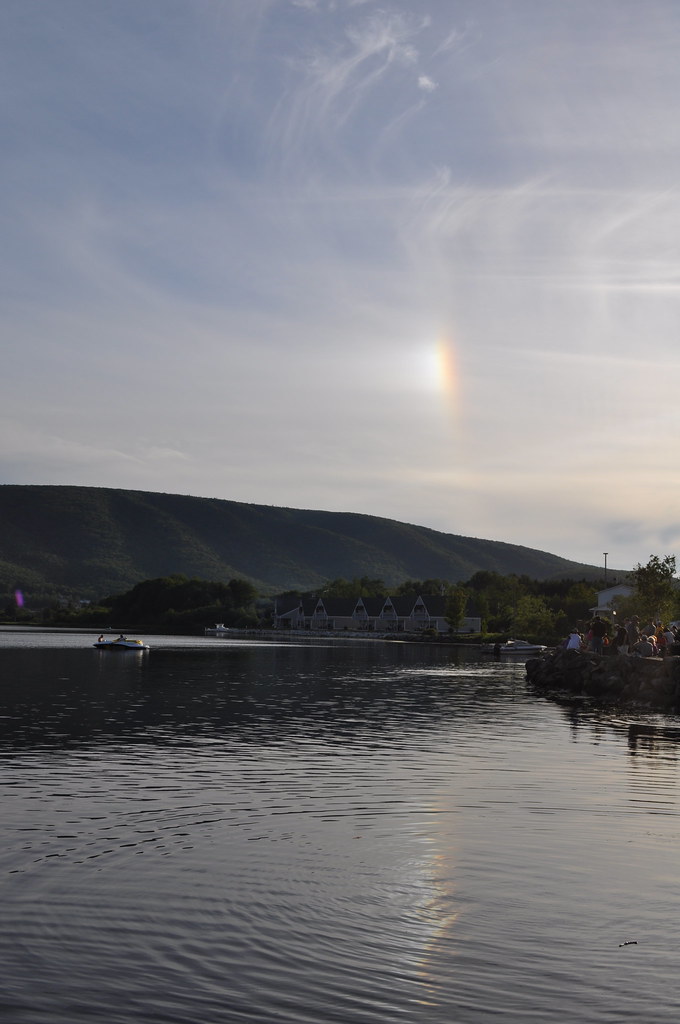
Rainbow reflection 2
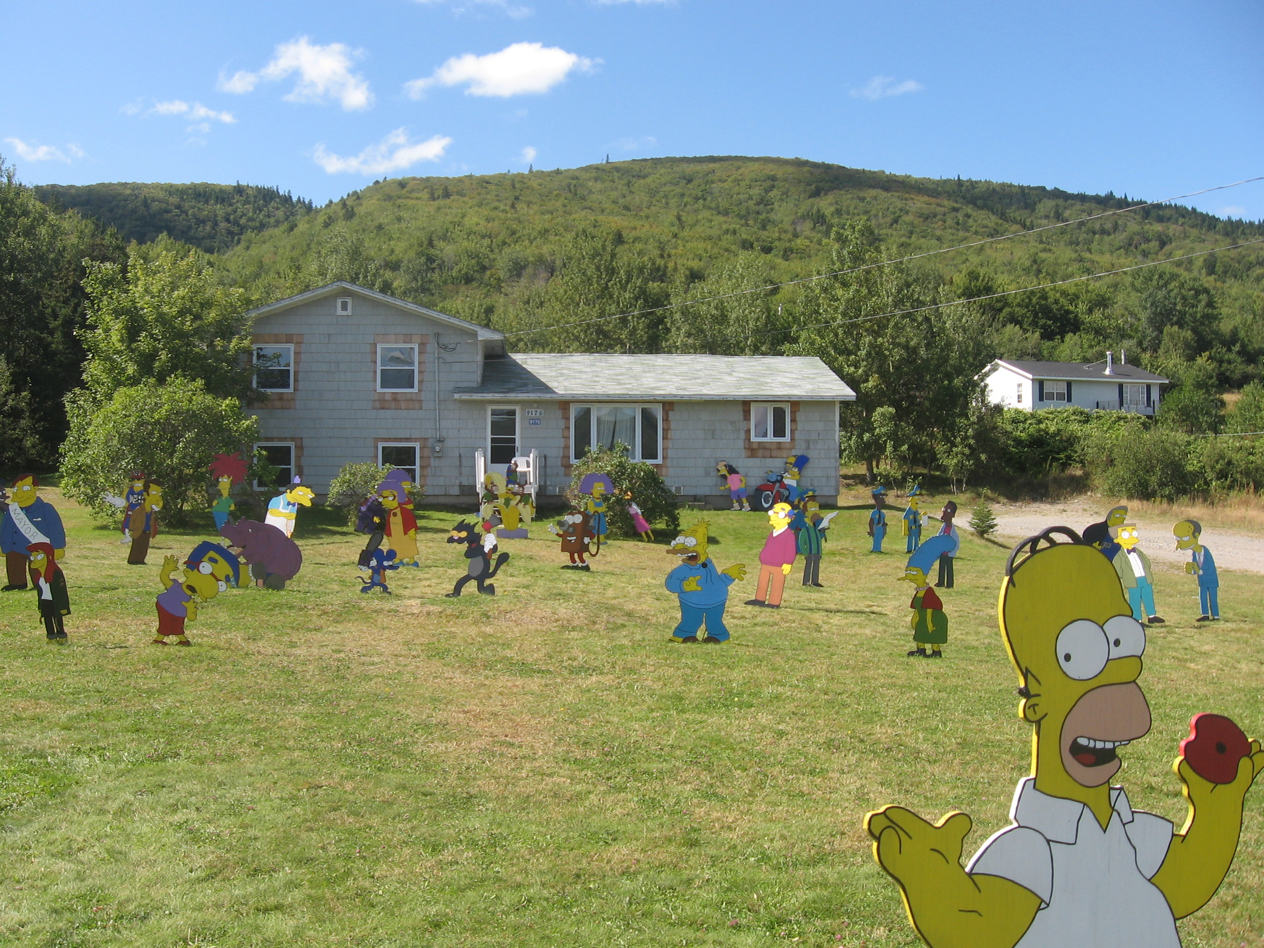
Lawn of Simpsons characters
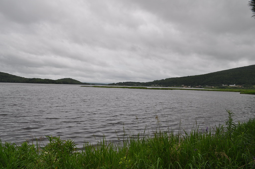
Denys Basin
Whycocomagh Bay
All Photos-55
Marble Mountain in Cape Breton. (Contributed by Janet Beavers)
Topographic Map of N Side River Denys Rd, River Denys, NS B0E 2Y0, Canada
Find elevation by address:

Places near N Side River Denys Rd, River Denys, NS B0E 2Y0, Canada:
River Denys
Macleod Road
Eden Rd, River Denys, NS B0E 2Y0, Canada
Southside River Denys Rd, River Denys, NS B0E 2Y0, Canada
10200 Marble Mountain Rd
Trans-Canada Hwy, Orangedale, NS B0E 2K0, Canada
Marble Mountain Rd, River Denys, NS B0E 2Y0, Canada
Trans-Canada Hwy, River Denys, NS B0E 2K0, Canada
Mackenzie Point Road
Orangedale
Marble Mountain Rd, River Denys, NS B0E 2Y0, Canada
Orangedale Iona Rd, Orangedale, NS B0E 2K0, Canada
Marble Mountain Rd, Orangedale, NS B0E 2K0, Canada
River Denys Mountain Rd, West Bay Road, NS B0E 3L0, Canada
Marble Mountain
Riverside Rd, West Bay Road, NS B0E 3L0, Canada
West Bay Road
Whycocomagh
Glenora Rd, West Bay Road, NS B0E 3L0, Canada
NS-, Whycocomagh, NS B0E 3M0, Canada
Recent Searches:
- Elevation of Snake Hill Rd, North Scituate, RI, USA
- Elevation of Lake Shore Dr, Warwick, RI, USA
- Elevation of E Brightview Ave, Pittsburgh, PA, USA
- Elevation of Cavendish Rd, Harringay Ladder, London N4 1RR, UK
- Elevation of 1 Zion Park Blvd, Springdale, UT, USA
- Elevation of Ganderbal
- Elevation map of Konkan Division, Maharashtra, India
- Elevation of Netaji Nagar, Hallow Pul, Kurla, Mumbai, Maharashtra, India
- Elevation of Uralsk, Kazakhstan
- Elevation of 45- Kahana Dr, Honokaa, HI, USA