Elevation of River Denys, NS B0E, Canada
Location: Canada > Nova Scotia > Inverness County > Inverness, Subd. C >
Longitude: -61.175825
Latitude: 45.832512
Elevation: 4m / 13feet
Barometric Pressure: 101KPa
Elevation Map:
Satellite Map:
Related Photos:

Marble Point view - Nova Scotia

Under the top

On your mark, get set...
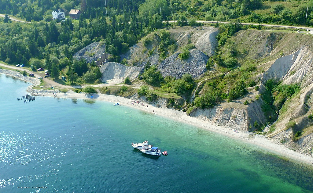
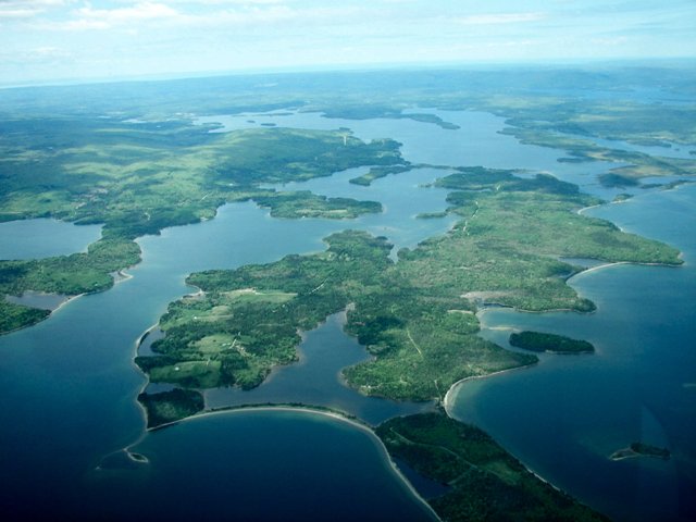
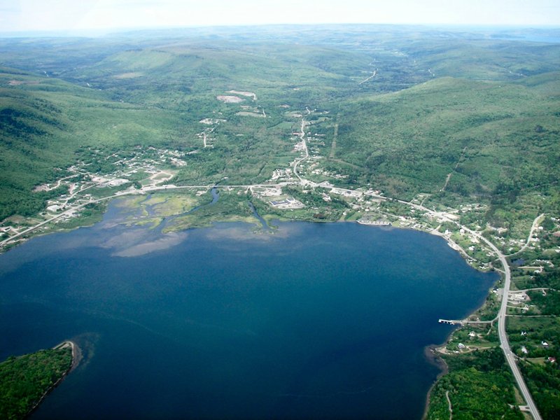
Marble Mountain, Cape Breton N.S. aerial photo

Cape Breton, Nova Scotia
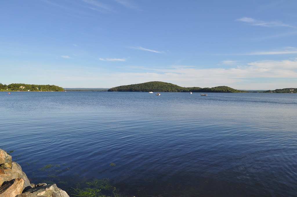
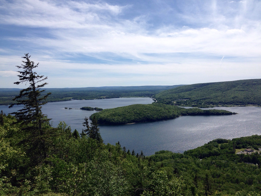
Whycocomagh Bay

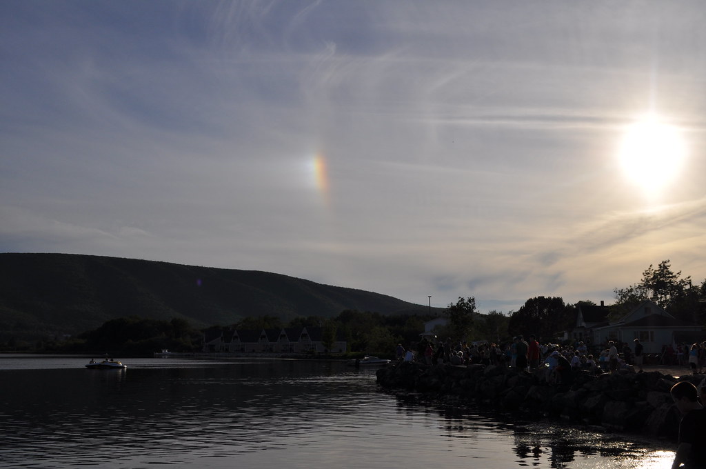
Rainbow reflection
Whycocomagh Bay
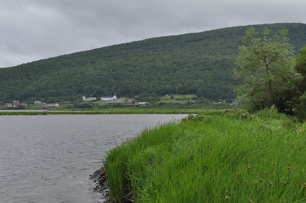
Along the shores of Hogamagh
Whycocomagh Bay
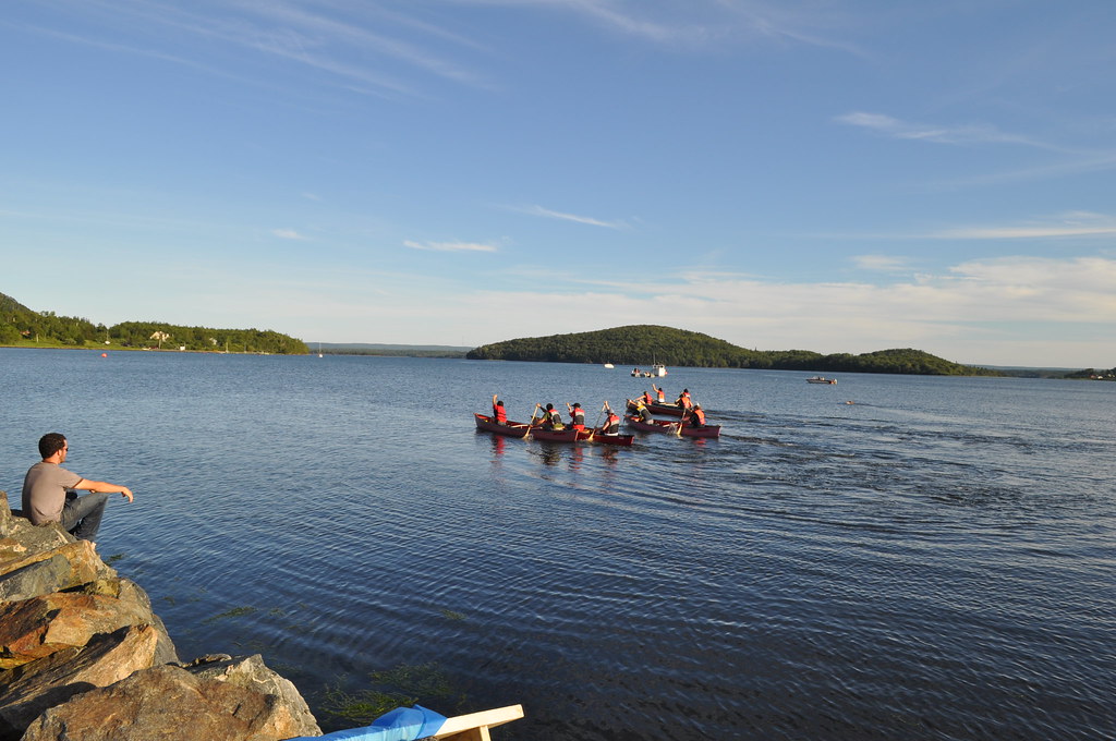
Go!
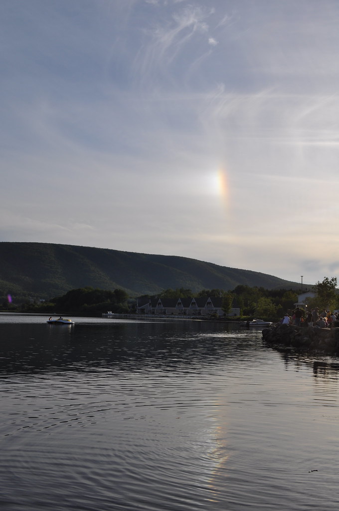
Rainbow reflection 2
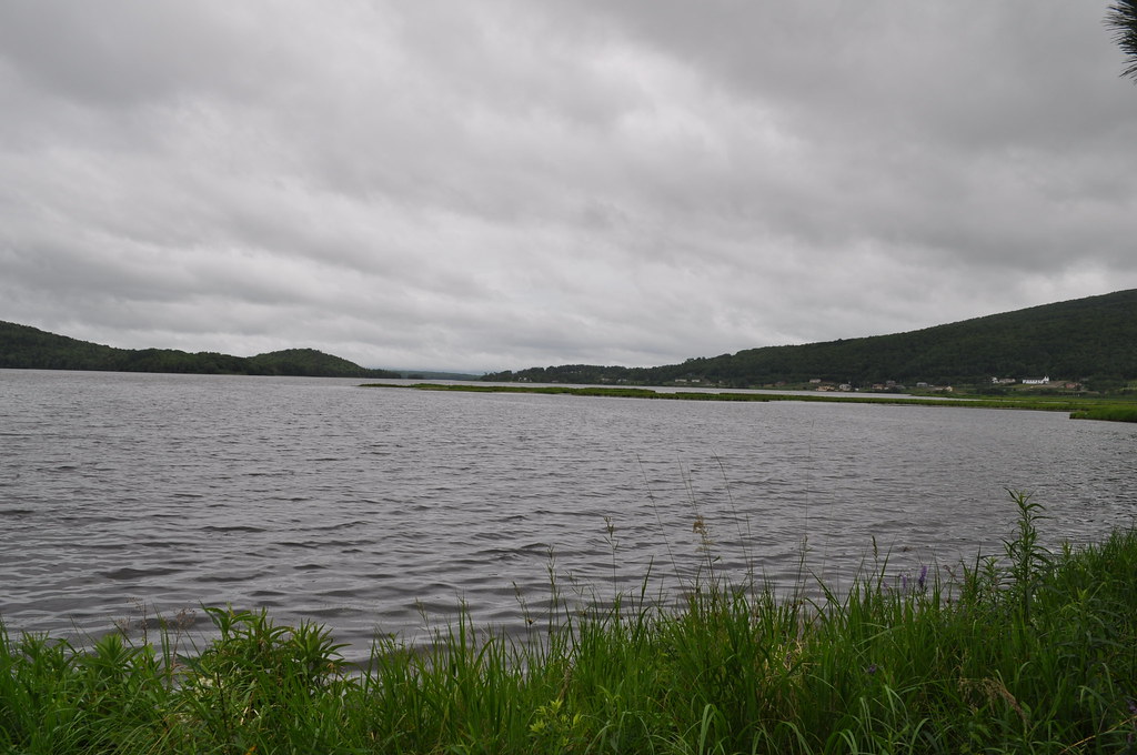
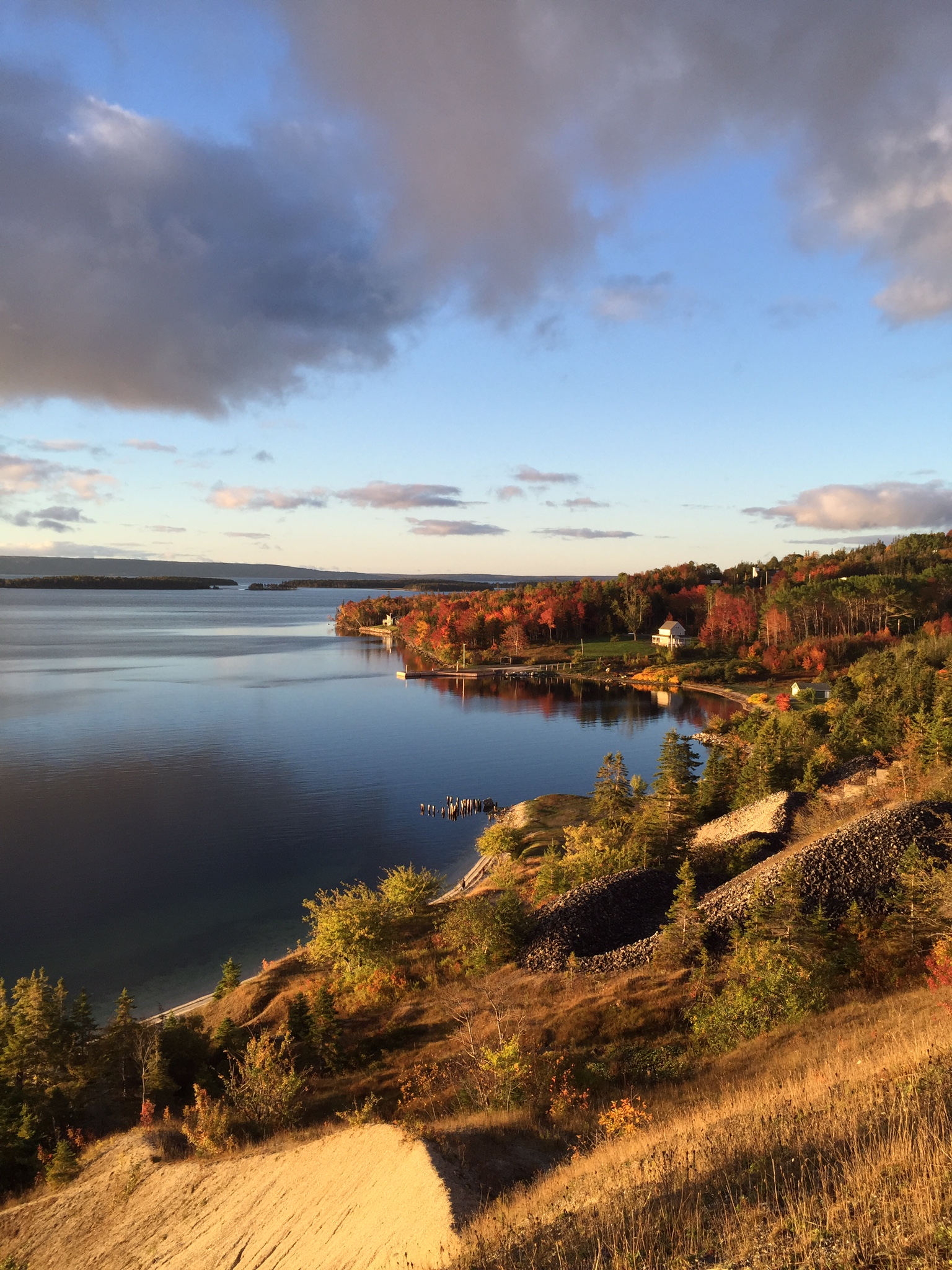
Denys Basin
Whycocomagh Bay
All Photos-55
Marble Mountain in Cape Breton. (Contributed by Janet Beavers)
Topographic Map of River Denys, NS B0E, Canada
Find elevation by address:

Places in River Denys, NS B0E, Canada:
Marble Mountain Rd, River Denys, NS B0E 2Y0, Canada
Marble Mountain Rd, River Denys, NS B0E 2Y0, Canada
Rd, River Denys, NS B0E 2Y0, Canada
Fiddle Head Rd, River Denys, NS B0E 2Y0, Canada
Southside River Denys Rd, River Denys, NS B0E 2Y0, Canada
Big Harbour Island Rd, River Denys, NS B0E 2Y0, Canada
Trans-Canada Hwy, River Denys, NS B0E 2K0, Canada
Militia Point Rd, River Denys, NS B0E 2Y0, Canada
Eden Rd, River Denys, NS B0E 2Y0, Canada
Macleod Road
Marble Mountain
Allans Point Road
Mackenzie Point Road
Places near River Denys, NS B0E, Canada:
1508 N Side River Denys Rd
Macleod Road
Eden Rd, River Denys, NS B0E 2Y0, Canada
Southside River Denys Rd, River Denys, NS B0E 2Y0, Canada
10200 Marble Mountain Rd
Marble Mountain Rd, River Denys, NS B0E 2Y0, Canada
Trans-Canada Hwy, Orangedale, NS B0E 2K0, Canada
Mackenzie Point Road
Orangedale
Trans-Canada Hwy, River Denys, NS B0E 2K0, Canada
Marble Mountain Rd, River Denys, NS B0E 2Y0, Canada
Marble Mountain Rd, Orangedale, NS B0E 2K0, Canada
Orangedale Iona Rd, Orangedale, NS B0E 2K0, Canada
River Denys Mountain Rd, West Bay Road, NS B0E 3L0, Canada
Marble Mountain
West Bay Road
Riverside Rd, West Bay Road, NS B0E 3L0, Canada
Glenora Rd, West Bay Road, NS B0E 3L0, Canada
Whycocomagh
Salt Mountain Trail
Recent Searches:
- Elevation of Corso Fratelli Cairoli, 35, Macerata MC, Italy
- Elevation of Tallevast Rd, Sarasota, FL, USA
- Elevation of 4th St E, Sonoma, CA, USA
- Elevation of Black Hollow Rd, Pennsdale, PA, USA
- Elevation of Oakland Ave, Williamsport, PA, USA
- Elevation of Pedrógão Grande, Portugal
- Elevation of Klee Dr, Martinsburg, WV, USA
- Elevation of Via Roma, Pieranica CR, Italy
- Elevation of Tavkvetili Mountain, Georgia
- Elevation of Hartfords Bluff Cir, Mt Pleasant, SC, USA