Elevation of Giddalur, Andhra Pradesh, India
Location: India > Andhra Pradesh > Prakasam >
Longitude: 78.9250862
Latitude: 15.3763583
Elevation: 271m / 889feet
Barometric Pressure: 98KPa
Elevation Map:
Satellite Map:
Related Photos:
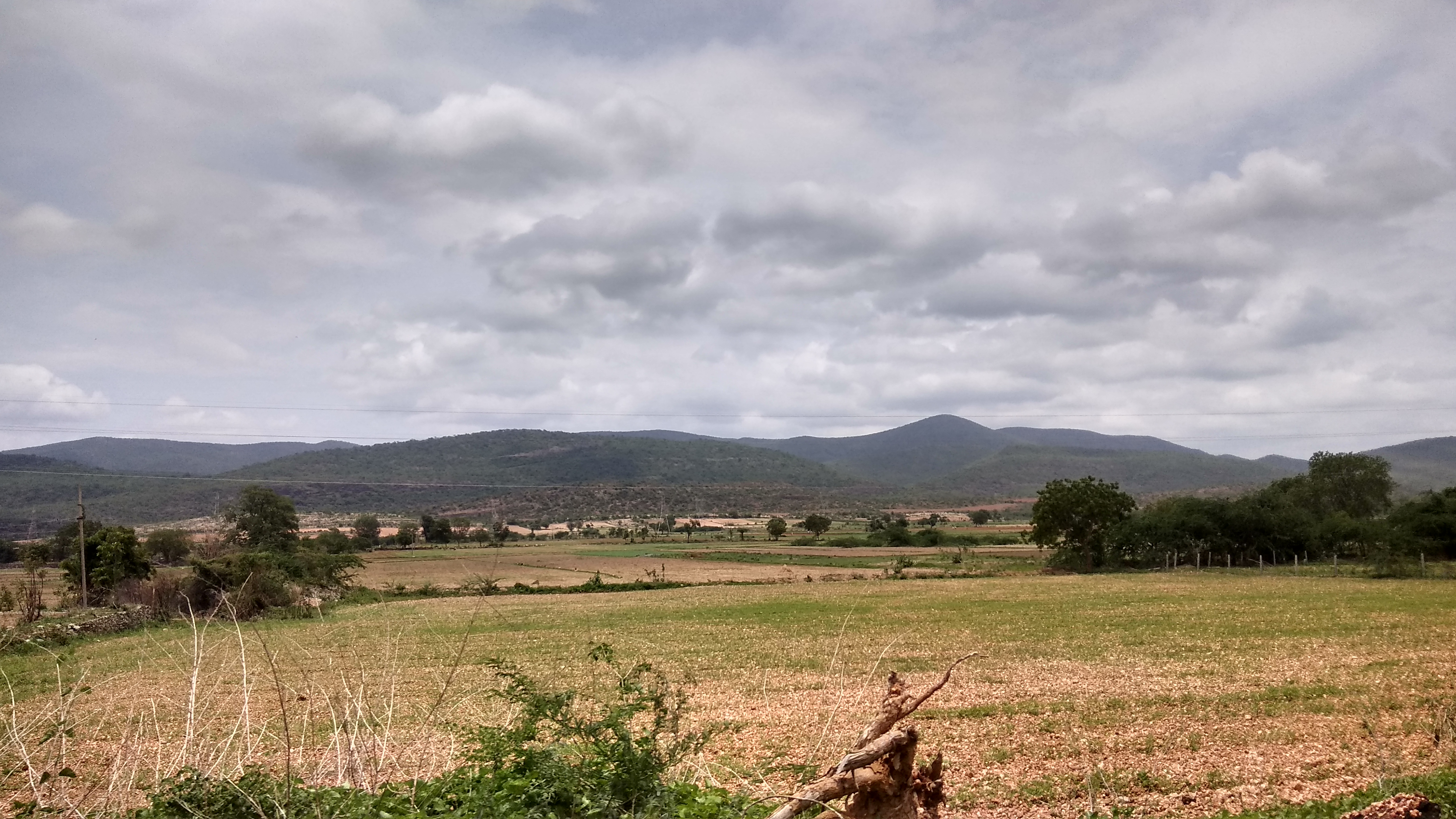
IMG_20170711_121411_HDR
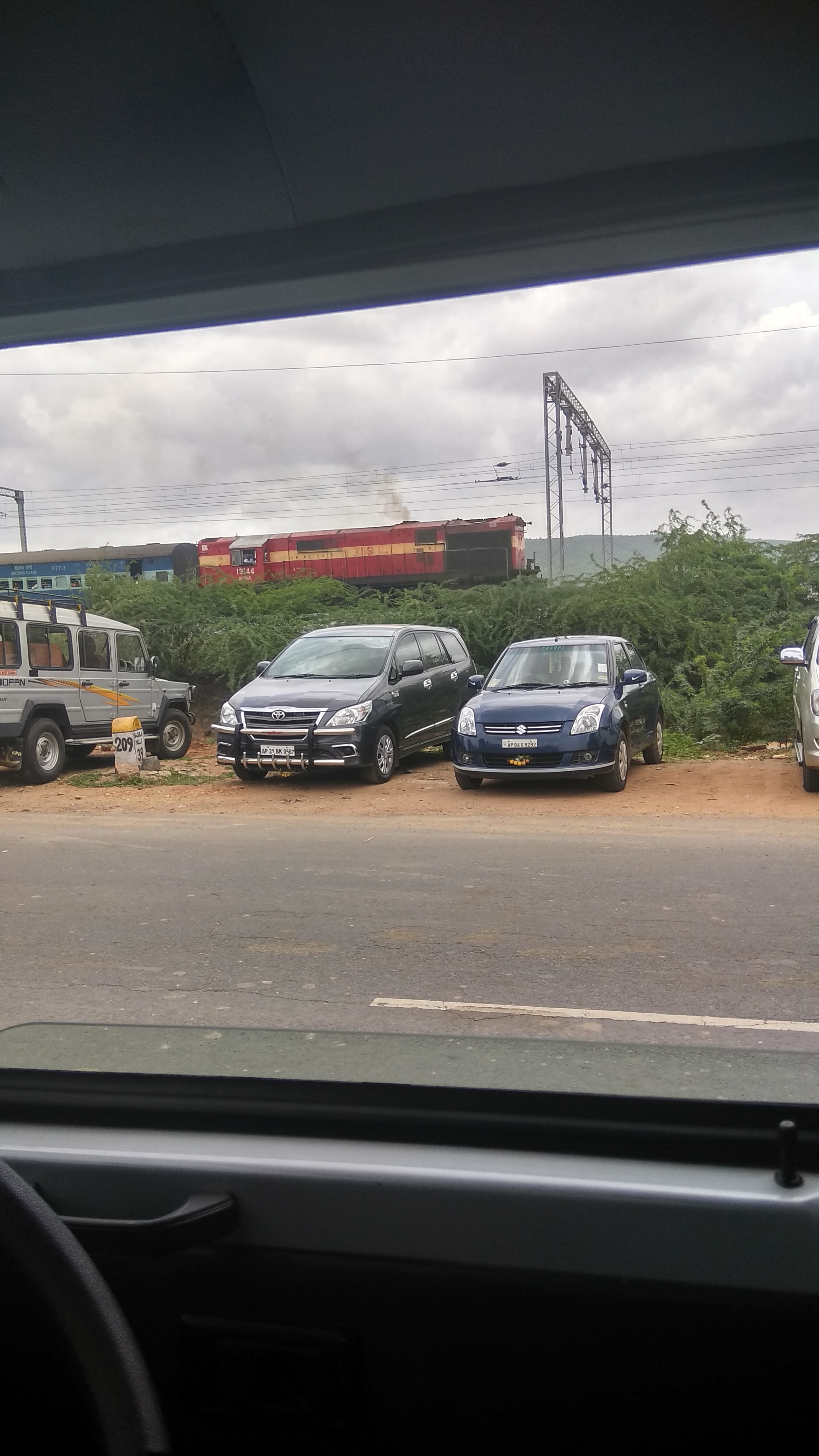
IMG_20170711_124032_HDR
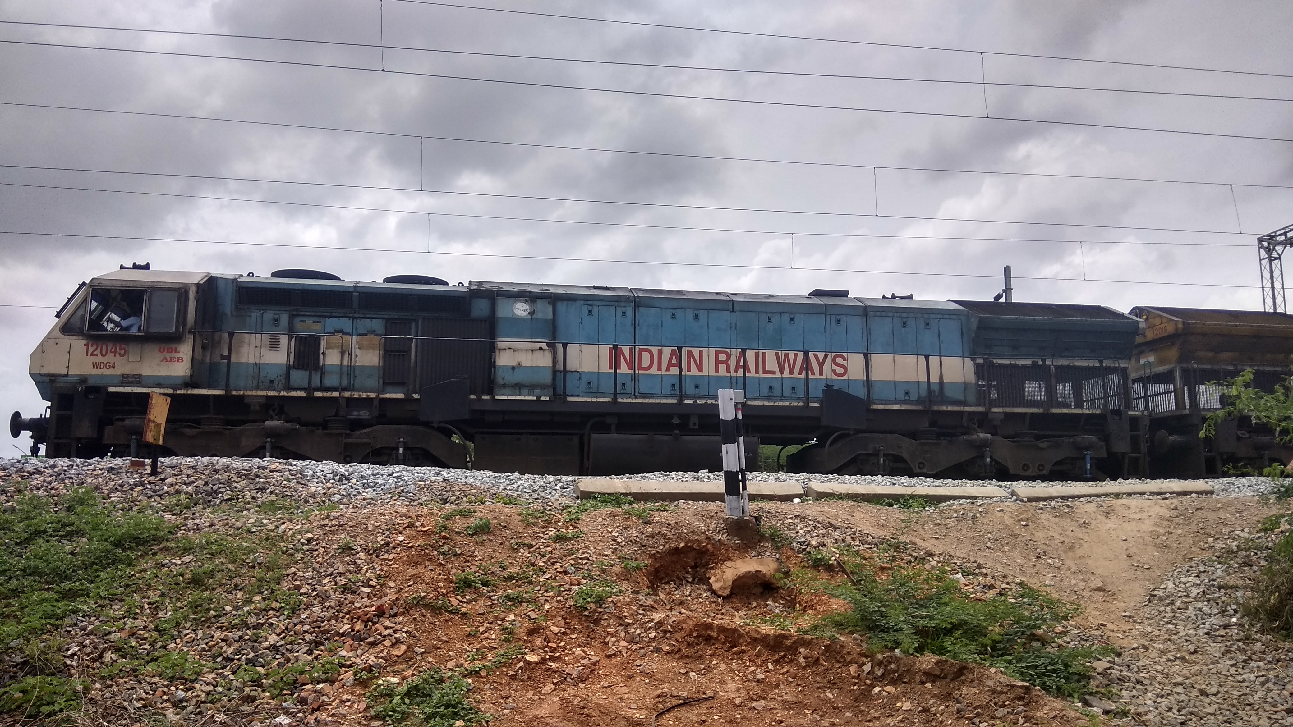
IMG_20170711_125332_HDR
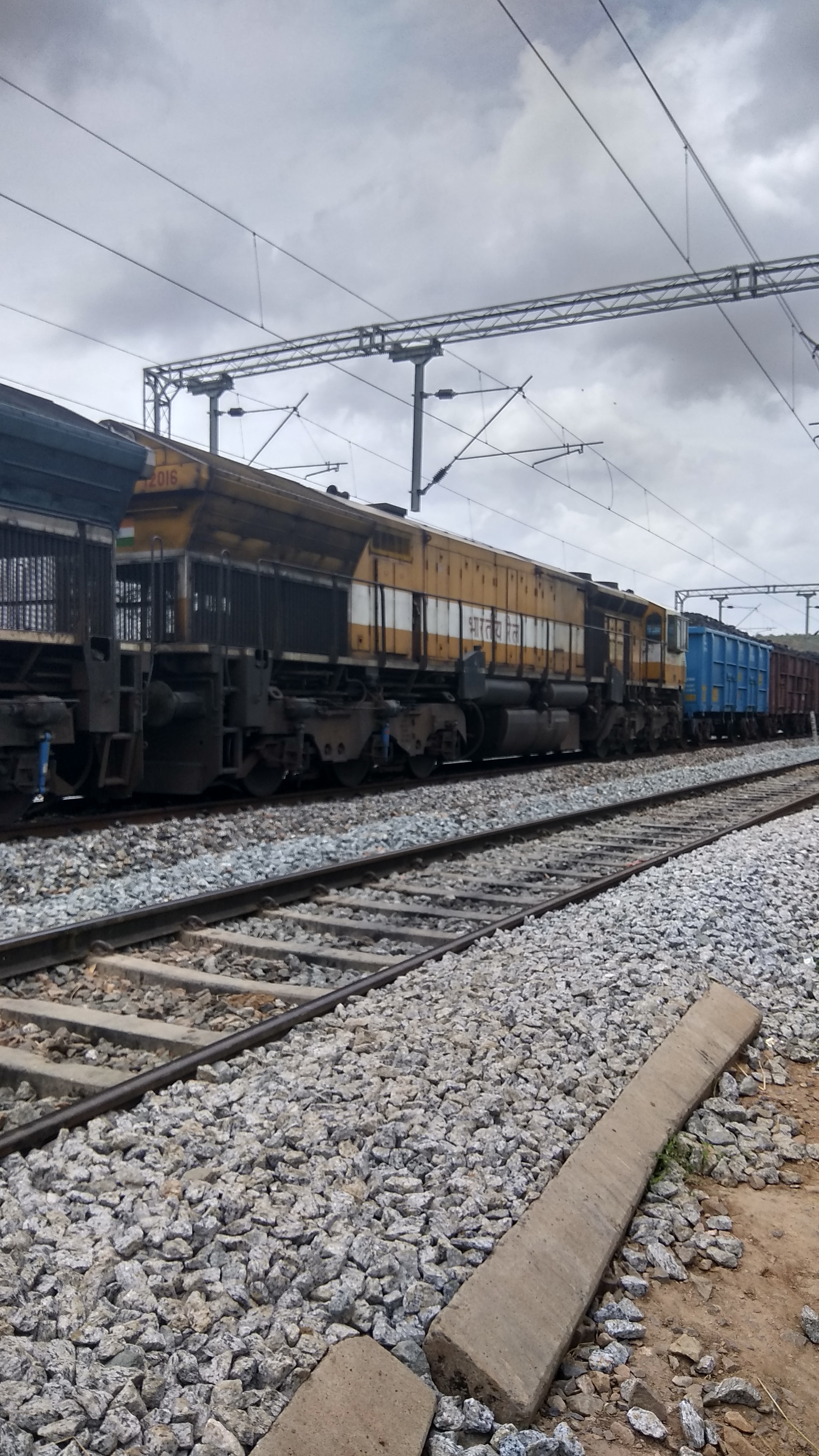
IMG_20170711_125349_HDR
IMG_20170711_134848
IMG_20170711_142808
Topographic Map of Giddalur, Andhra Pradesh, India
Find elevation by address:

Places near Giddalur, Andhra Pradesh, India:
Komarolu
Basinepalli
Mudumala
Kodur
Onipenta
Prakasam
Somayajulapalle
Papampalle
Kadapa
Kadapa
Kandukur
Kulluru
Kandukur Road
Singarayakonda
Kavali
Rajampet
Thippayapalle
Thippayapalli Ramalayam
Allur
2-8-53
Recent Searches:
- Elevation of Brooks Lp, Spearfish, SD, USA
- Elevation of Panther Dr, Maggie Valley, NC, USA
- Elevation of Jais St - Wadi Shehah - Ras al Khaimah - United Arab Emirates
- Elevation of Shawnee Avenue, Shawnee Ave, Easton, PA, USA
- Elevation of Scenic Shore Dr, Kingwood Area, TX, USA
- Elevation of W Prive Cir, Delray Beach, FL, USA
- Elevation of S Layton Cir W, Layton, UT, USA
- Elevation of F36W+3M, Mussoorie, Uttarakhand, India
- Elevation of Fairland Ave, Fairhope, AL, USA
- Elevation of Sunset Dr, Richmond, VA, USA