Elevation map of Kadapa, Andhra Pradesh, India
Location: India > Andhra Pradesh >
Longitude: 78.8382644
Latitude: 14.5767233
Elevation: 151m / 495feet
Barometric Pressure: 100KPa
Elevation Map:
Satellite Map:
Related Photos:

View of a street

View of a street
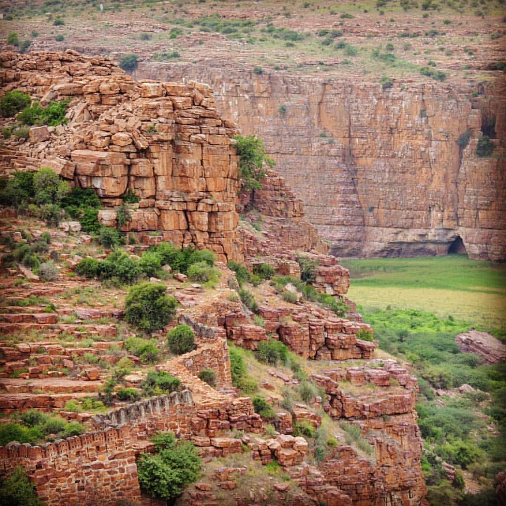
Boundary wall of the #Gandikota #Fort at Edge of Canyon #incredibleindia #grandcanyon
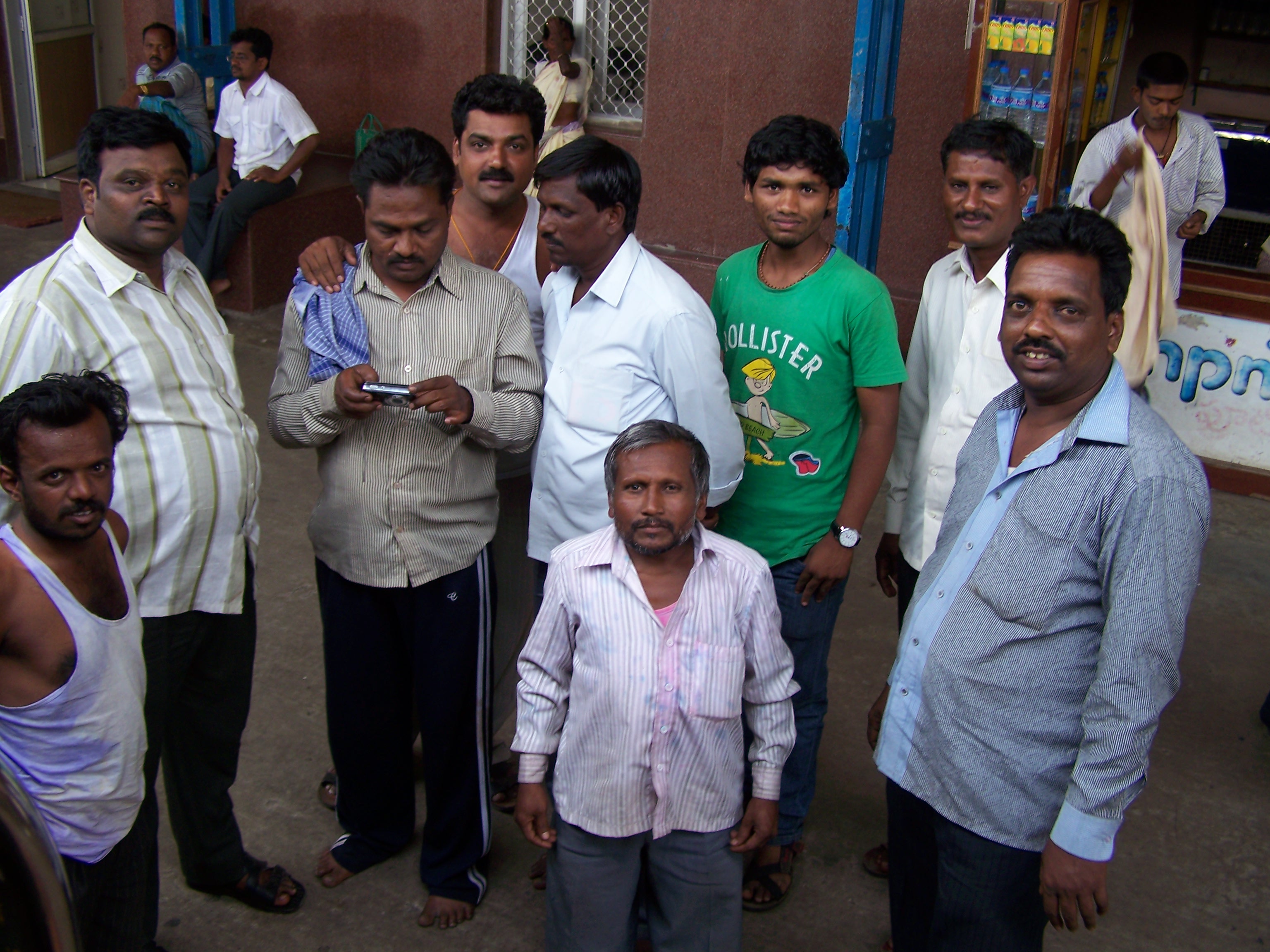
The guys from the train (2)

The guys from the train (1)

Stop at a local market

Stop at a local market

Stop at a local market
India - Pune Visit -01869
India - Pune Visit -01867
Topographic Map of Kadapa, Andhra Pradesh, India
Find elevation by address:

Places in Kadapa, Andhra Pradesh, India:
Rajampet
Nallacheruvupalle
Pulivendula
Kadapa
Proddatur
Thudumuladinne
Kodur
Chintakunta
T.sakibanda
Kondapuram
Mudumala
Somayajulapalle
Thippayapalle
Onipenta
Kamalapuram
Pyarampalle
Places near Kadapa, Andhra Pradesh, India:
Kadapa
Somayajulapalle
Onipenta
Kodur
Mudumala
Rajampet
Kulluru
Thippayapalle
Thippayapalli Ramalayam
Papampalle
Komarolu
Giddalur
Basinepalli
Prakasam
Gudur
Nellore
2-8-53
Kovur
Nellore
1st Main Road
Recent Searches:
- Elevation of Shibuya Scramble Crossing, 21 Udagawacho, Shibuya City, Tokyo -, Japan
- Elevation of Jadagoniai, Kaunas District Municipality, Lithuania
- Elevation of Pagonija rock, Kranto 7-oji g. 8"N, Kaunas, Lithuania
- Elevation of Co Rd 87, Jamestown, CO, USA
- Elevation of Tenjo, Cundinamarca, Colombia
- Elevation of Côte-des-Neiges, Montreal, QC H4A 3J6, Canada
- Elevation of Bobcat Dr, Helena, MT, USA
- Elevation of Zu den Ihlowbergen, Althüttendorf, Germany
- Elevation of Badaber, Peshawar, Khyber Pakhtunkhwa, Pakistan
- Elevation of SE Heron Loop, Lincoln City, OR, USA