Elevation of 2-8-53, Kovur Main Rd, Kovur, Andhra Pradesh, India
Location: India > Andhra Pradesh > Nellore > Kovur >
Longitude: 79.9851188
Latitude: 14.5035612
Elevation: 22m / 72feet
Barometric Pressure: 101KPa
Elevation Map:
Satellite Map:
Related Photos:

hanging sun

after the sunset

Nellore Thorugh N9

JAck BraDford roCk joCks

Nellore is know for two things, aquaculture, especially prawns and rice. Rice mills line the National Highway 5 that connects Chennai to Kolkata. Village roads, highways, underpasses all have heaps of harvested rice ready to be sent to the rice mills. #

Follow the steps for hogging a Tamil-Andhra meal... 1. Wash the leaf with the water provided and push aside the excess water 2. First have the Parupp podi (horsegram will Chilli powder and ghee with rice 3. Follow it it a dash of Sambhar and Rice 4. Then

20151014_5841 Kanigiri Reservoir in India
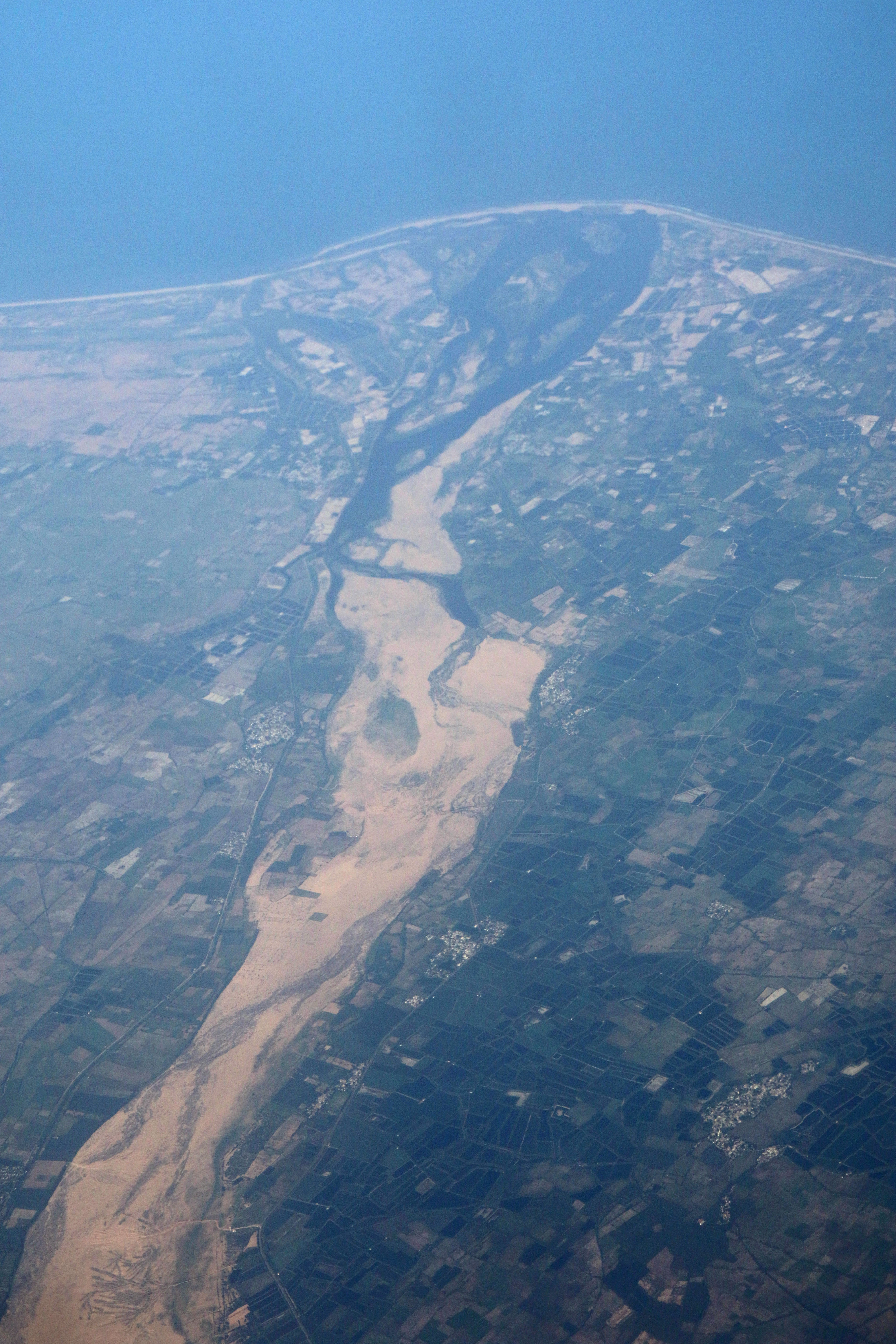
20151014_5842 Penna River on the east coast of India

WP_20151123_13_19_19_Pro (2)

Nartaki Theatre[2015]
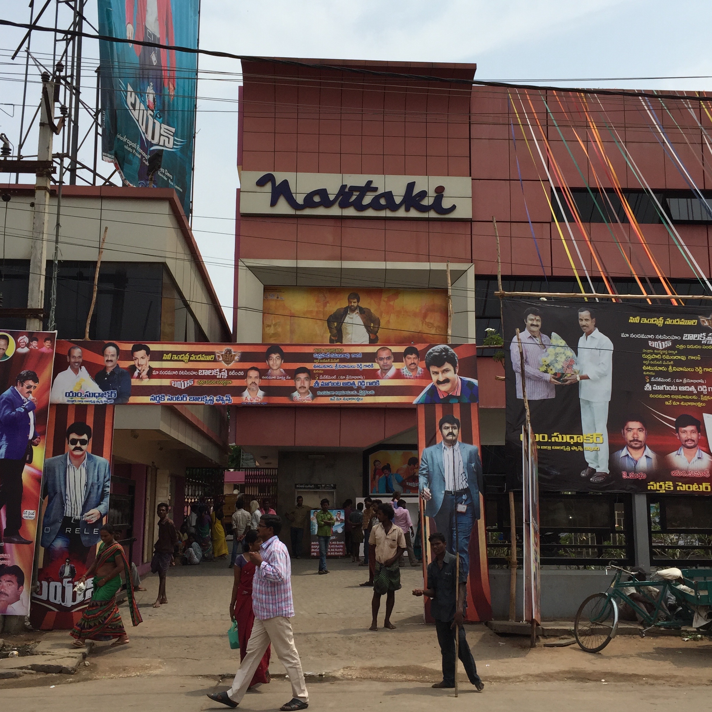
Nartaki Theatre[2015]
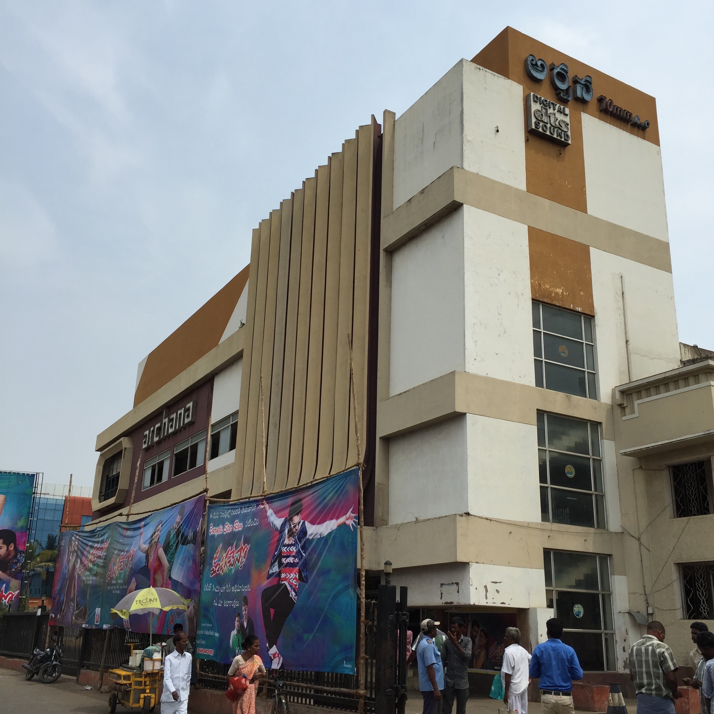
Archana Theatre[2015]
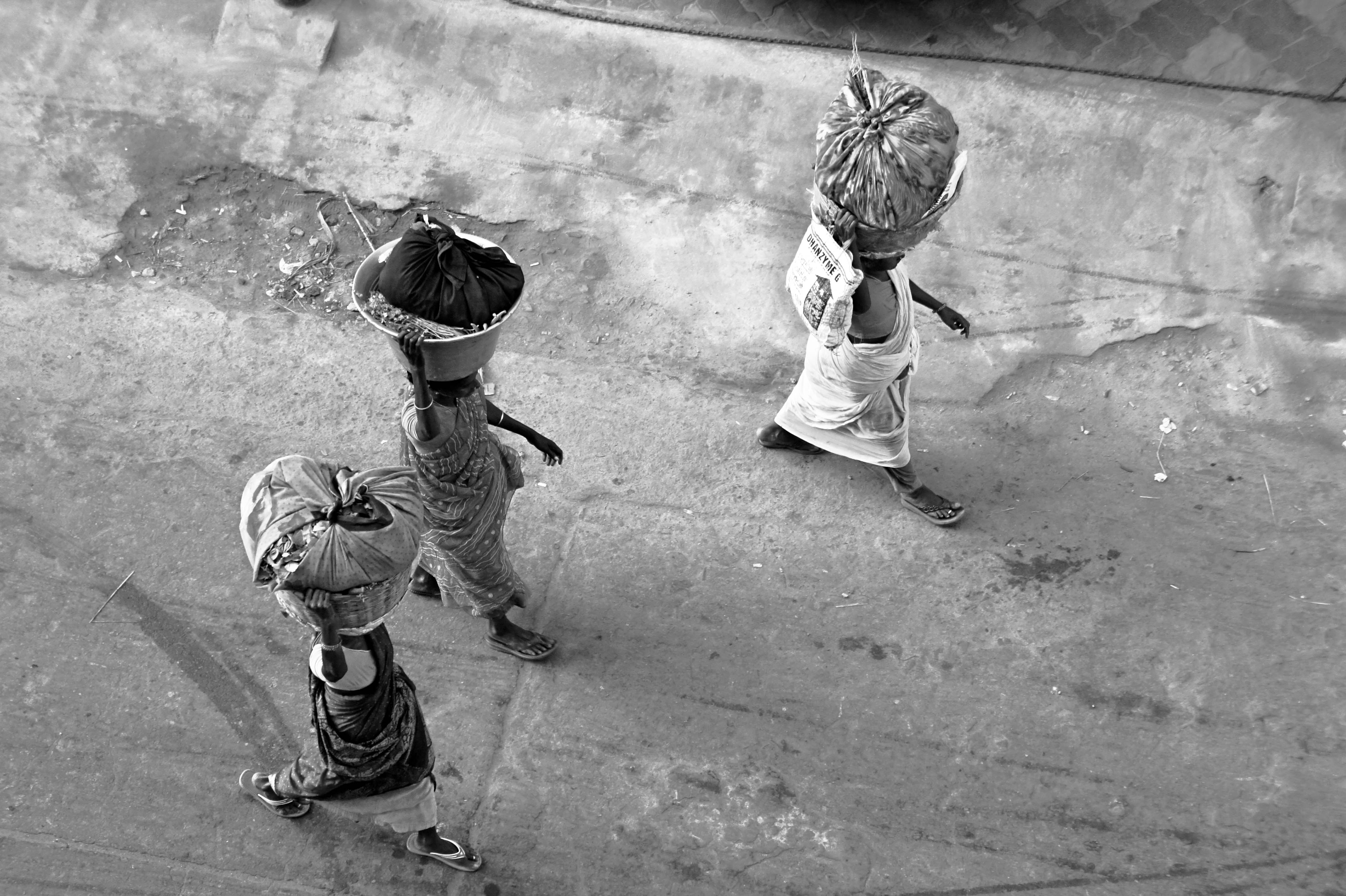
Heavy loads

Picture 2550

Picture 2551
Picture 2552

Picture 2507

Picture 2506
Picture 2508
Picture 2493

Picture 2509

Picture 2510
Picture 2511
Picture 2512
Topographic Map of 2-8-53, Kovur Main Rd, Kovur, Andhra Pradesh, India
Find elevation by address:

Places near 2-8-53, Kovur Main Rd, Kovur, Andhra Pradesh, India:
Kovur
1st Main Road
Nellore
Pallipadu
Pallipadu Diet College
Parlapalli
Allur
Sarvepalli
Muttukuru
Nellore
Krishnapatnam Port
Thamminapatnam
Gudur
Kavali
Govindapalli
Kulluru
Papampalle
Kandukur
Kandukur Road
Singarayakonda
Recent Searches:
- Elevation of Scenic Shore Dr, Kingwood Area, TX, USA
- Elevation of W Prive Cir, Delray Beach, FL, USA
- Elevation of S Layton Cir W, Layton, UT, USA
- Elevation of F36W+3M, Mussoorie, Uttarakhand, India
- Elevation of Fairland Ave, Fairhope, AL, USA
- Elevation of Sunset Dr, Richmond, VA, USA
- Elevation of Grodna District, Hrodna Region, Belarus
- Elevation of Hrodna, Hrodna Region, Belarus
- Elevation of Sandia Derby Estates, Tijeras, NM, USA
- Elevation of 23 Sunrise View Ct, Tijeras, NM, USA