Elevation of Krishnapatnam Port, Thamminapatnam, Andhra Pradesh, India
Location: India > Andhra Pradesh > Nellore > Thamminapatnam >
Longitude: 80.109357
Latitude: 14.2545822
Elevation: 2m / 7feet
Barometric Pressure: 101KPa
Elevation Map:
Satellite Map:
Related Photos:

Evening light

Dragon fly

Wild flower2

Wild flower

There you go!

A day's hard work

Wild flower

Daily routine

Wild flowers

Wild flower

Beautiful moment

What's Up

Hey big guy!
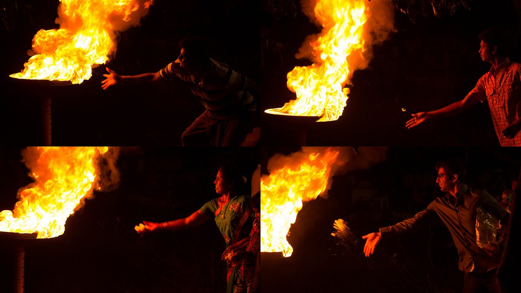
People offering camphor
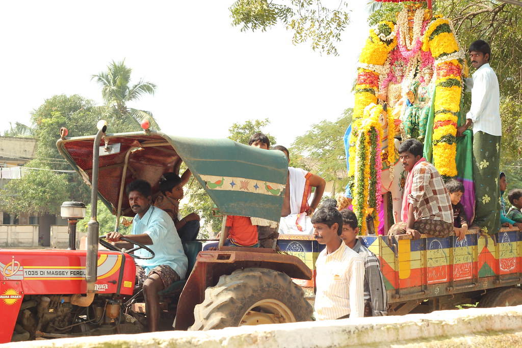
Village procession of gods
Topographic Map of Krishnapatnam Port, Thamminapatnam, Andhra Pradesh, India
Find elevation by address:

Places near Krishnapatnam Port, Thamminapatnam, Andhra Pradesh, India:
Thamminapatnam
Muttukuru
Sarvepalli
Govindapalli
Nellore
Nellore
1st Main Road
Pallipadu
Pallipadu Diet College
Kovur
2-8-53
Gudur
Parlapalli
Allur
Kavali
Kulluru
Papampalle
Rajampet
Thippayapalli Ramalayam
Kandukur
Recent Searches:
- Elevation of 64 Danakas Dr, Winnipeg, MB R2C 5N7, Canada
- Elevation of 4 Vale Rd, Sheffield S3 9QX, UK
- Elevation of Keene Point Drive, Keene Point Dr, Grant, AL, USA
- Elevation of State St, Zanesville, OH, USA
- Elevation of Austin Stone Dr, Haslet, TX, USA
- Elevation of Bydgoszcz, Poland
- Elevation of Bydgoszcz, Poland
- Elevation of Calais Dr, Del Mar, CA, USA
- Elevation of Placer Mine Ln, West Jordan, UT, USA
- Elevation of E 63rd St, New York, NY, USA