Elevation of Kandukur Road, Kandukur Rd, Singarayakonda, Andhra Pradesh, India
Location: India > Andhra Pradesh > Prakasam > Singarayakonda >
Longitude: 80.0158209
Latitude: 15.2445685
Elevation: 35m / 115feet
Barometric Pressure: 101KPa
Elevation Map:
Satellite Map:
Related Photos:

Chickpea Plants

Chickpea Plants

Chickpea Plants

Chickpea Plants

Callcenter Dudes...

Callcenter Dudes...
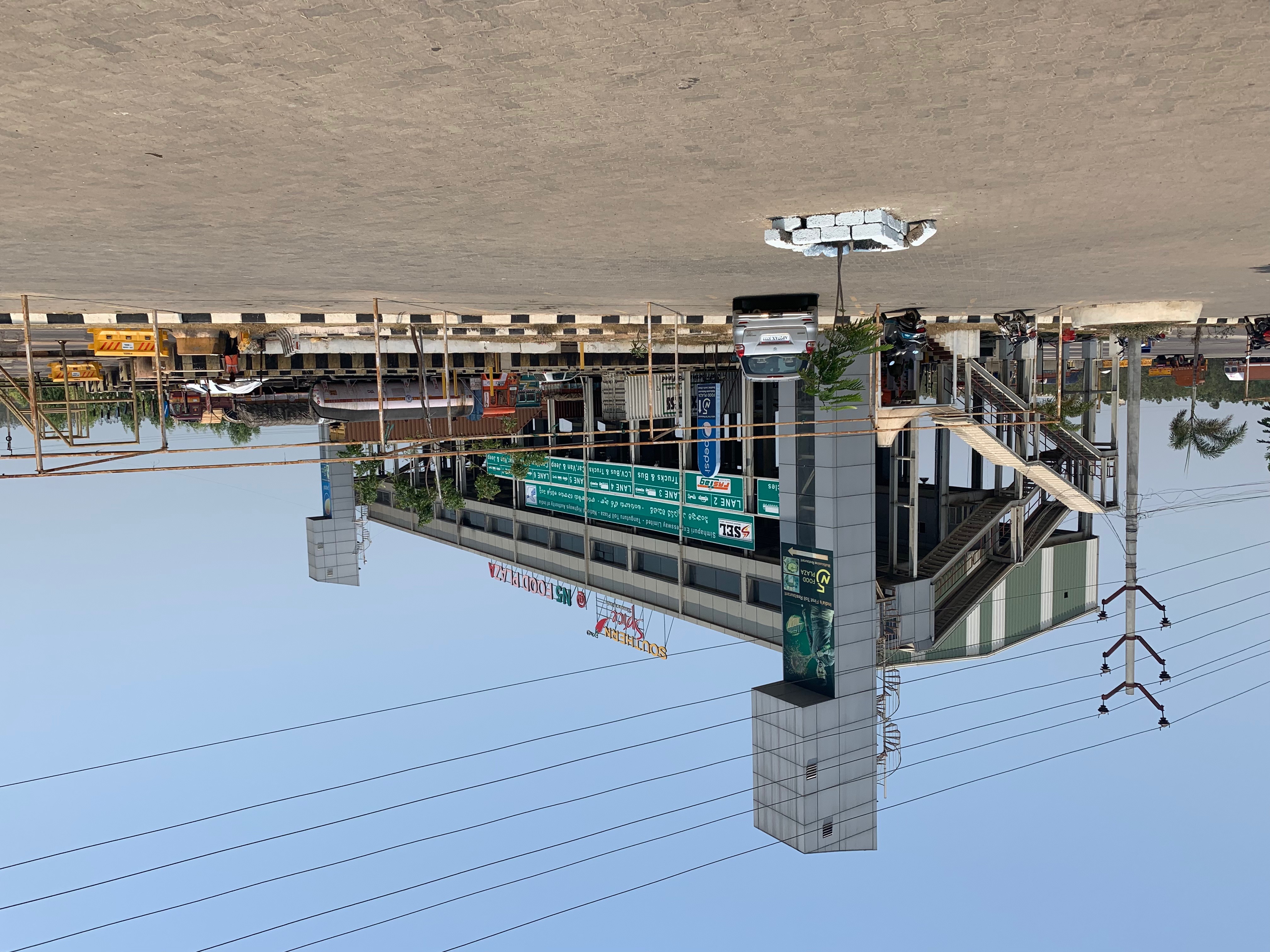
TOLL & RESTAURANT ALL ABOVE THE MAIN DRAG

NOT A LOT OF GIVE & TAKE ON THESE MAIN ROADS, EVERYMAN FOR THEMSELVES!

THE WAY TO VIJAYAWADA

7777.7 km!
Topographic Map of Kandukur Road, Kandukur Rd, Singarayakonda, Andhra Pradesh, India
Find elevation by address:

Places near Kandukur Road, Kandukur Rd, Singarayakonda, Andhra Pradesh, India:
Singarayakonda
Kandukur
Kavali
Prakasam
Allur
Parlapalli
Pallipadu Diet College
Pallipadu
2-8-53
Kovur
Papampalle
1st Main Road
Nellore
Basinepalli
Sarvepalli
Muttukuru
Nellore
Krishnapatnam Port
Komarolu
Thamminapatnam
Recent Searches:
- Elevation of W Prive Cir, Delray Beach, FL, USA
- Elevation of S Layton Cir W, Layton, UT, USA
- Elevation of F36W+3M, Mussoorie, Uttarakhand, India
- Elevation of Fairland Ave, Fairhope, AL, USA
- Elevation of Sunset Dr, Richmond, VA, USA
- Elevation of Grodna District, Hrodna Region, Belarus
- Elevation of Hrodna, Hrodna Region, Belarus
- Elevation of Sandia Derby Estates, Tijeras, NM, USA
- Elevation of 23 Sunrise View Ct, Tijeras, NM, USA
- Elevation of Lytham Ln, Katy, TX, USA