Elevation of Gibson, GA, USA
Location: United States > Georgia > Glascock County >
Longitude: -82.595408
Latitude: 33.2334789
Elevation: 107m / 351feet
Barometric Pressure: 100KPa
Elevation Map:
Satellite Map:
Related Photos:

The Richardsons

Cold Pansies

Long Road Ahead
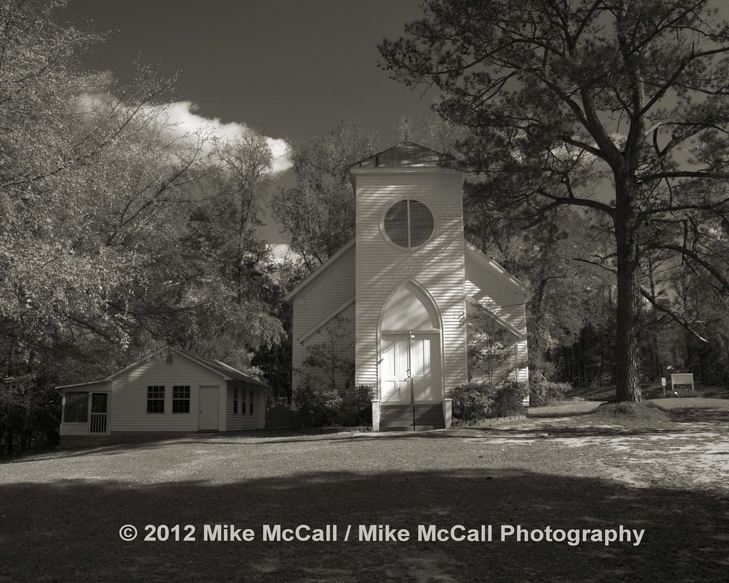
Shoals Old Line Primitive Baptist Church

kelley sm

The Outhouse 1

Post Office HDR

Raley Farms
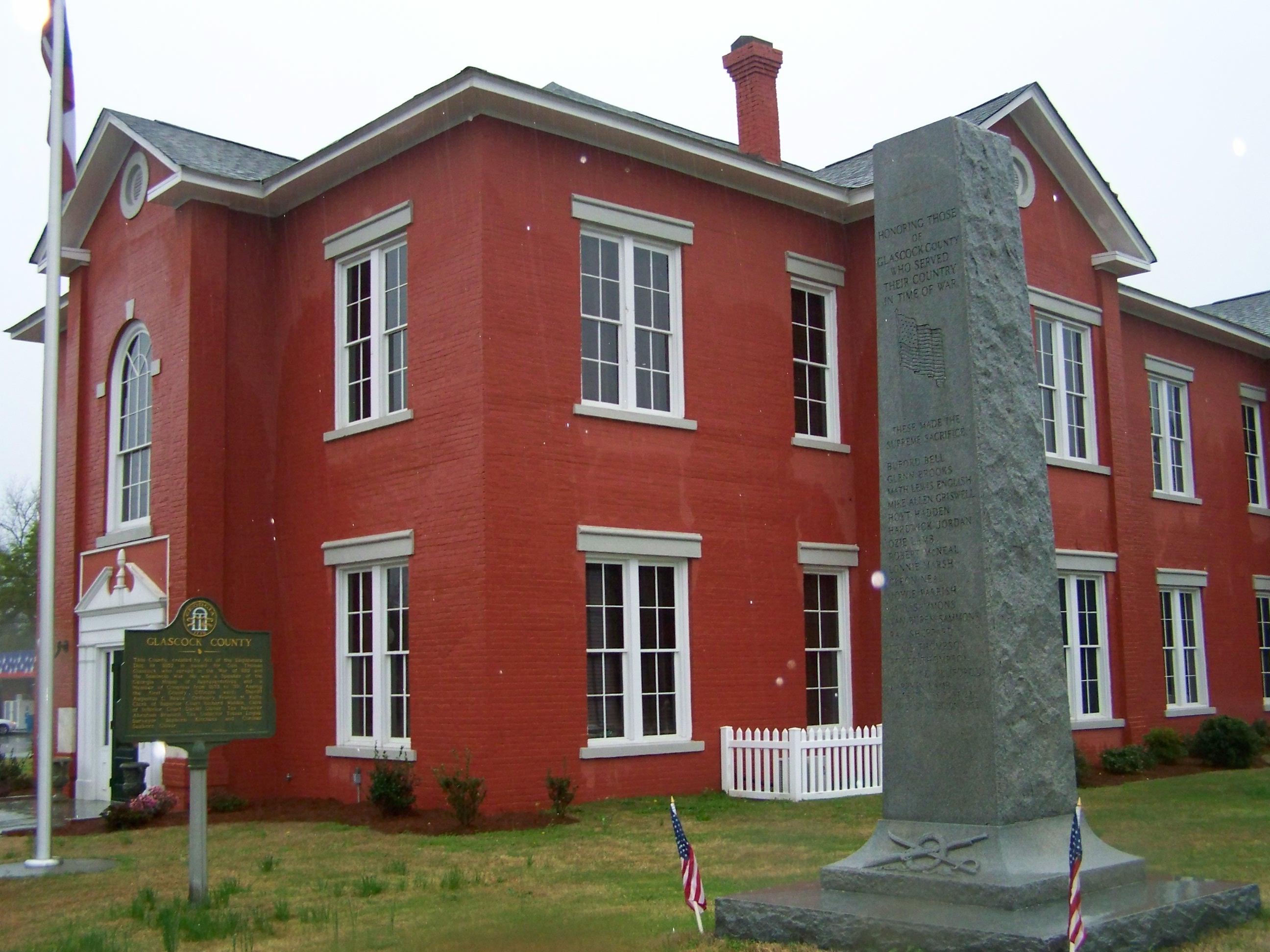
GA Glascock CH- Gibson
Topographic Map of Gibson, GA, USA
Find elevation by address:

Places in Gibson, GA, USA:
Places near Gibson, GA, USA:
61 Calhoun St, Gibson, GA, USA
Glascock County
Bastonville Rd, Warrenton, GA, USA
GA-80, Warrenton, GA, USA
Mitchell
Quaker Rd, Warrenton, GA, USA
Steep Hollow Rd, Gibson, GA, USA
E Main St, Stapleton, GA, USA
Stapleton
GA-, Mitchell, GA, USA
39 Ricketson Rd
1705 Bothwell Rd
6071 Hamburg State Park Rd
4080 Ga-17
70 N Whitehead St
Warrenton
Wrens
1497 Mt Pleasant Rd
2317 Mesena Rd
634 Wire Rd
Recent Searches:
- Elevation of Congressional Dr, Stevensville, MD, USA
- Elevation of Bellview Rd, McLean, VA, USA
- Elevation of Stage Island Rd, Chatham, MA, USA
- Elevation of Shibuya Scramble Crossing, 21 Udagawacho, Shibuya City, Tokyo -, Japan
- Elevation of Jadagoniai, Kaunas District Municipality, Lithuania
- Elevation of Pagonija rock, Kranto 7-oji g. 8"N, Kaunas, Lithuania
- Elevation of Co Rd 87, Jamestown, CO, USA
- Elevation of Tenjo, Cundinamarca, Colombia
- Elevation of Côte-des-Neiges, Montreal, QC H4A 3J6, Canada
- Elevation of Bobcat Dr, Helena, MT, USA