Elevation of 70 N Whitehead St, Warrenton, GA, USA
Location: United States > Georgia > Warren County > Warrenton >
Longitude: -82.656957
Latitude: 33.4072184
Elevation: 162m / 531feet
Barometric Pressure: 99KPa
Elevation Map:
Satellite Map:
Related Photos:
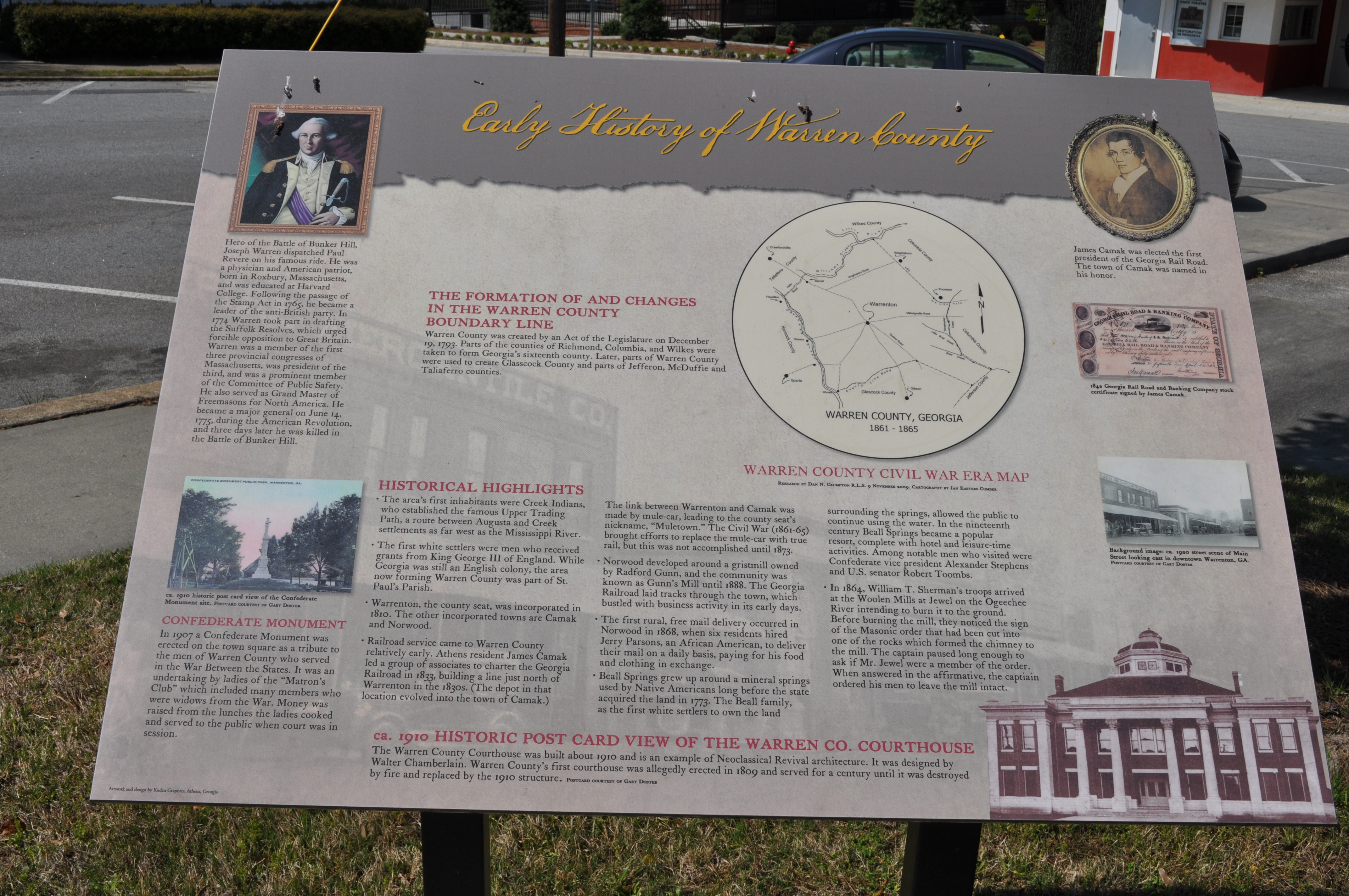
0008 Warren County Img_8788
0844 Thomas Watson Img_4896
0845 Thomas Watson Img_4897

Two Men Sparring, Warrenton GA

Sky Oil
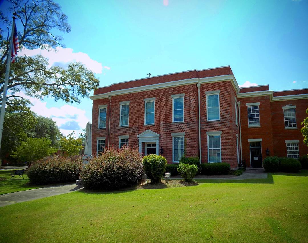
McDuffie County Courthouse Thomson GA #courthouse
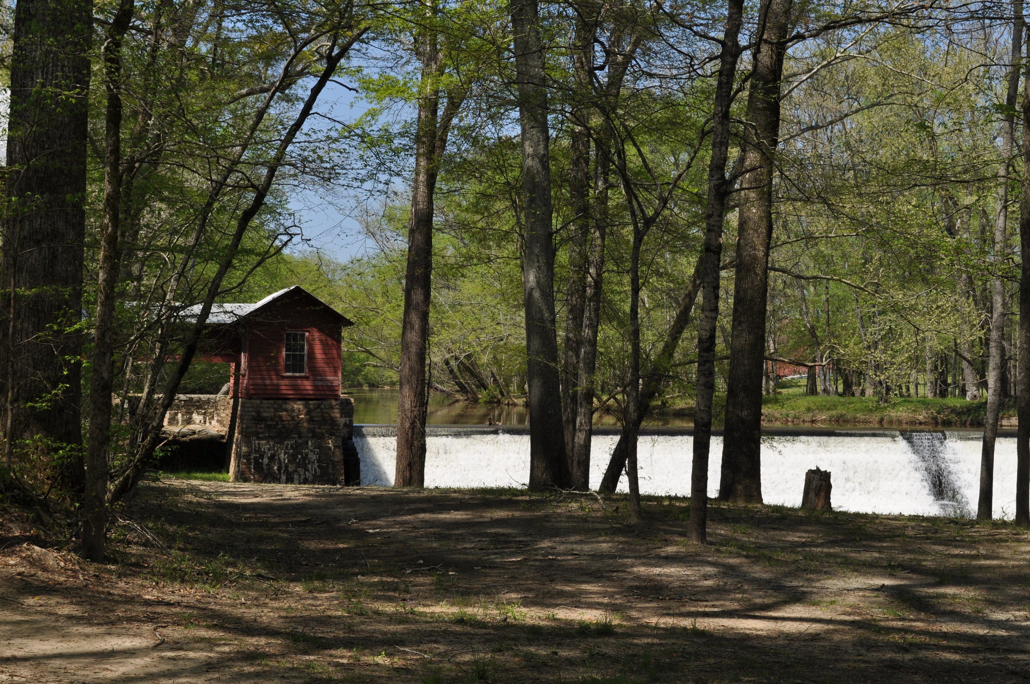
0017 Ogeechee River Mill Img_8797
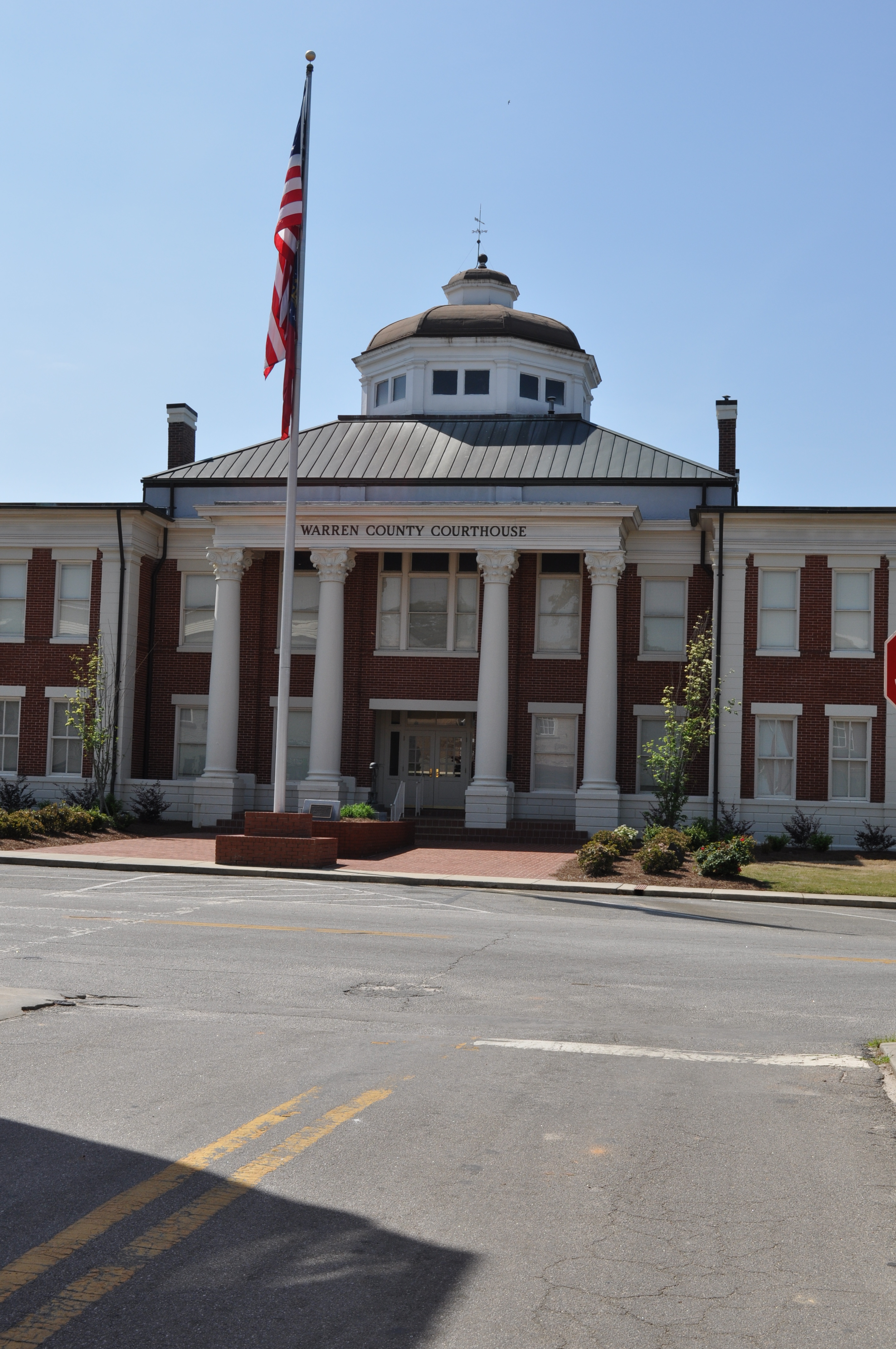
0011 Warrenton Courthouse Img_8793

0012 Warrenton Courthouse Img_8794
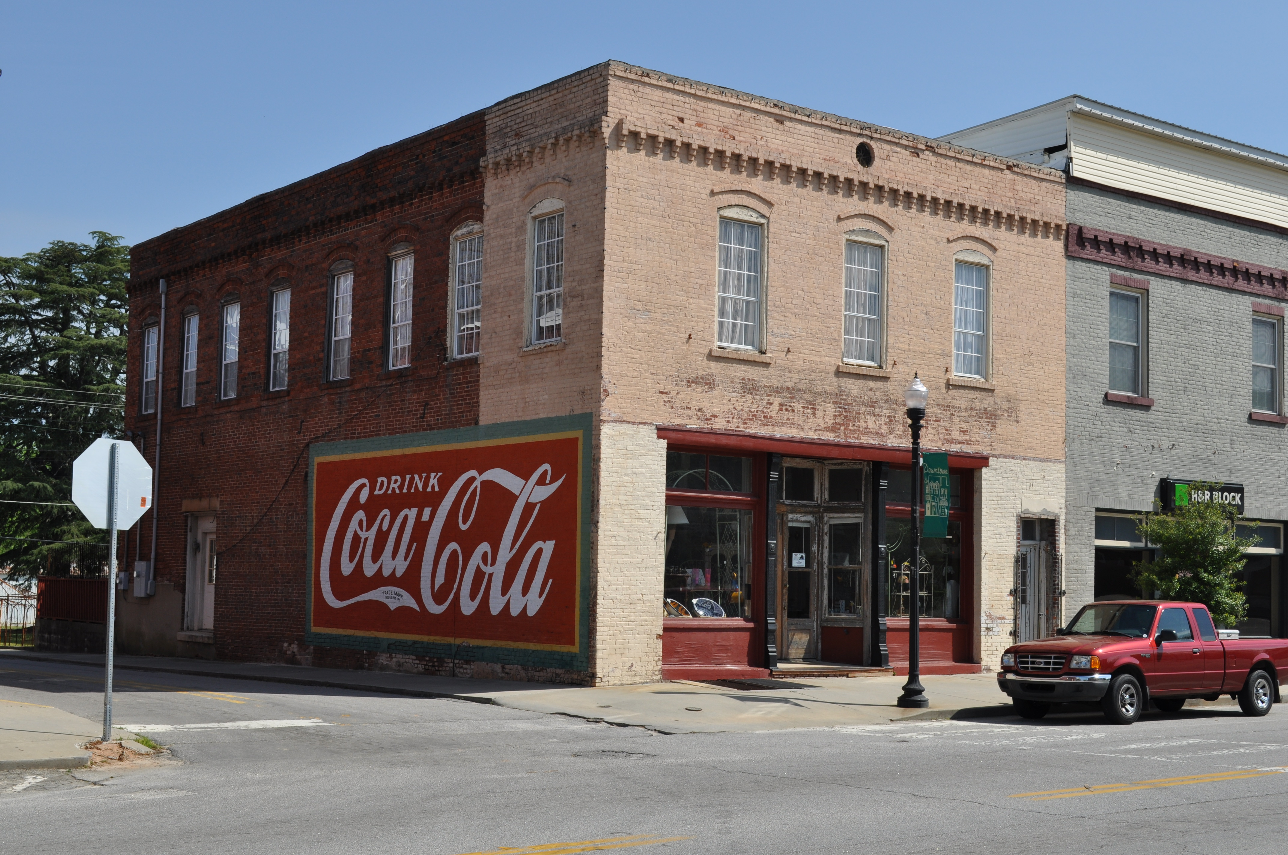
0013 Coca Cola sign Img_8790

0014 Andersons Market Img_8791
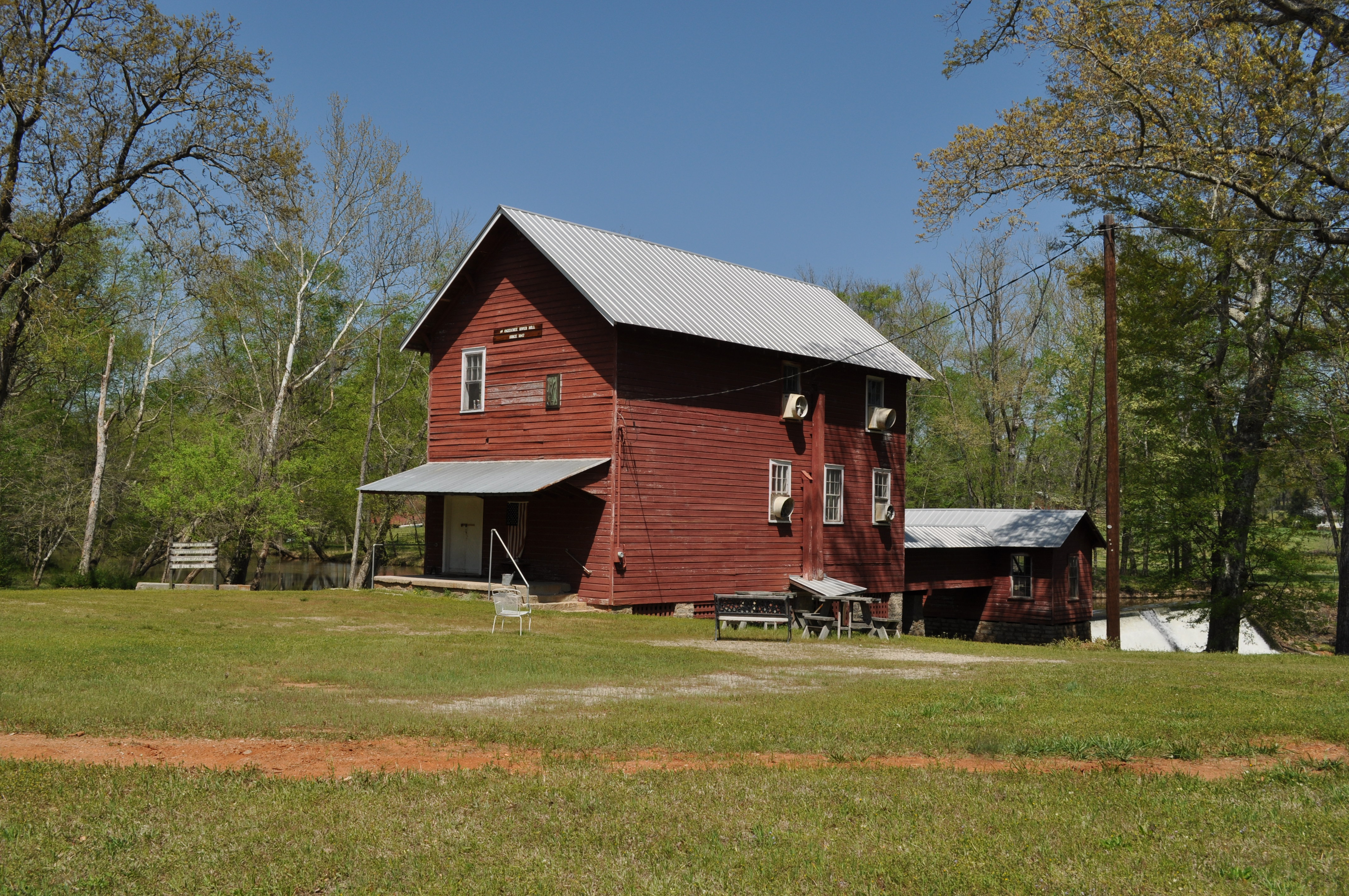
0015 Ogeechee River Mill Img_8796
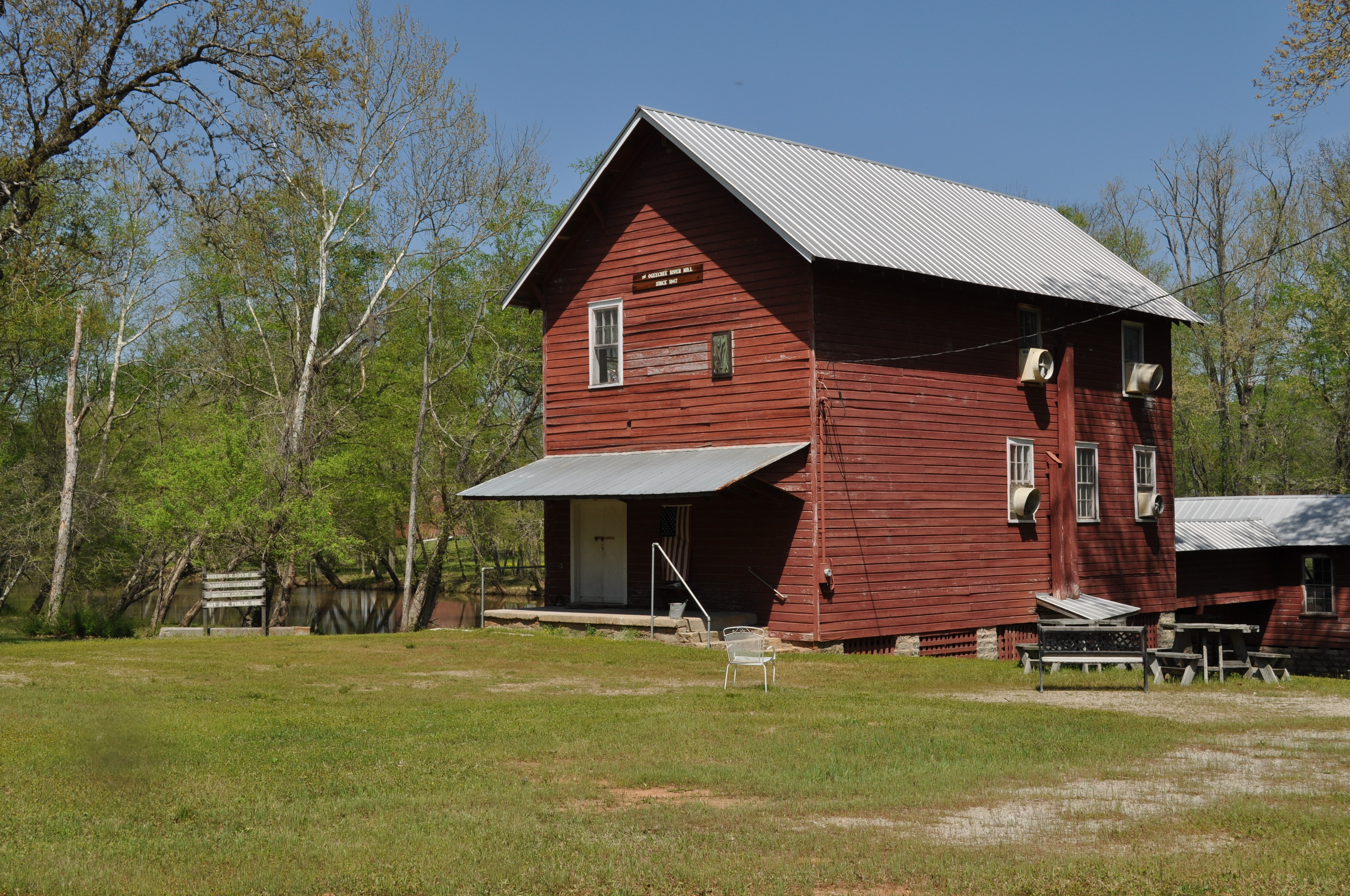
0016 Ogeechee River Mill Img_8795
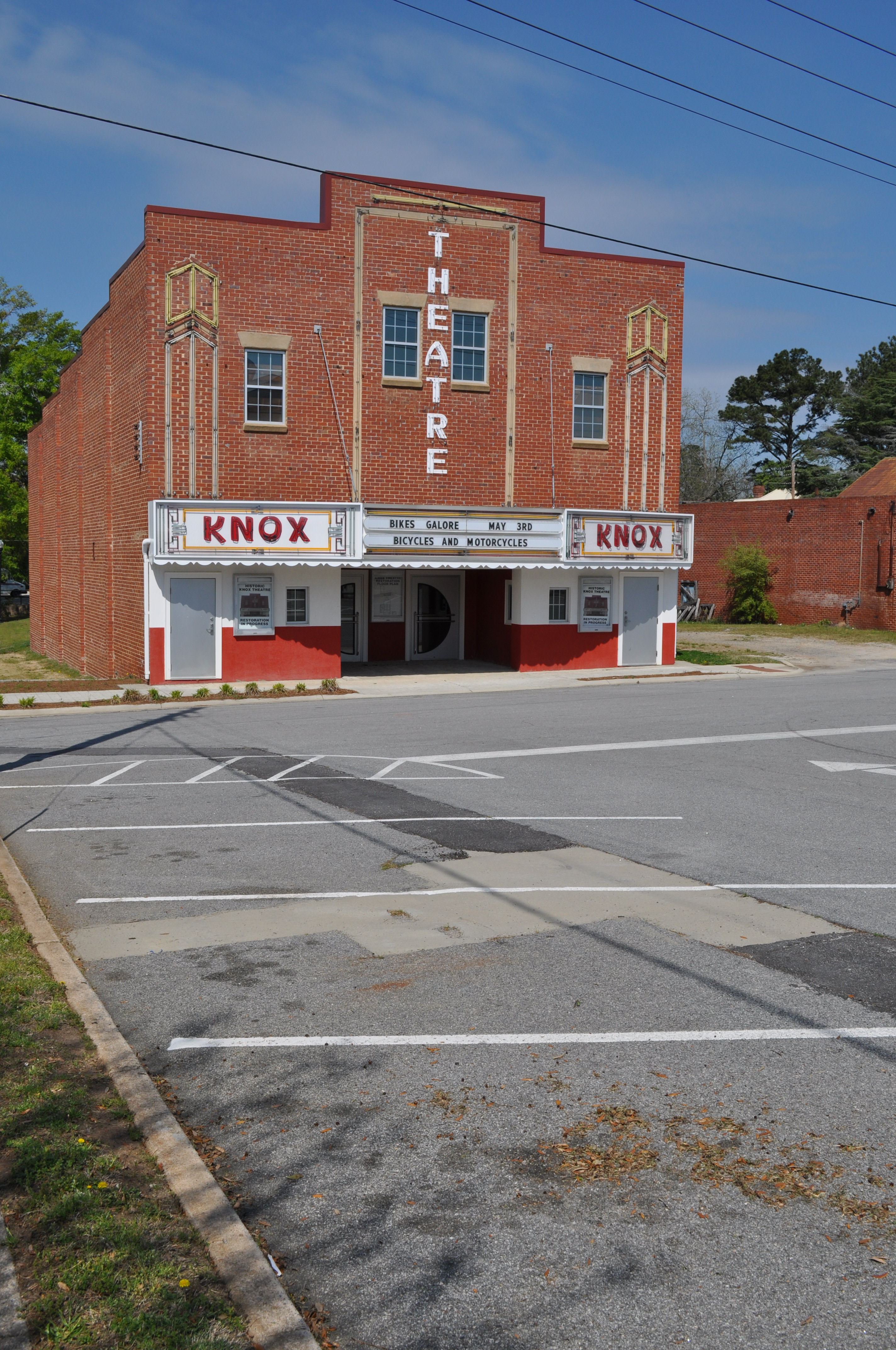
0005 Theater Img_8785
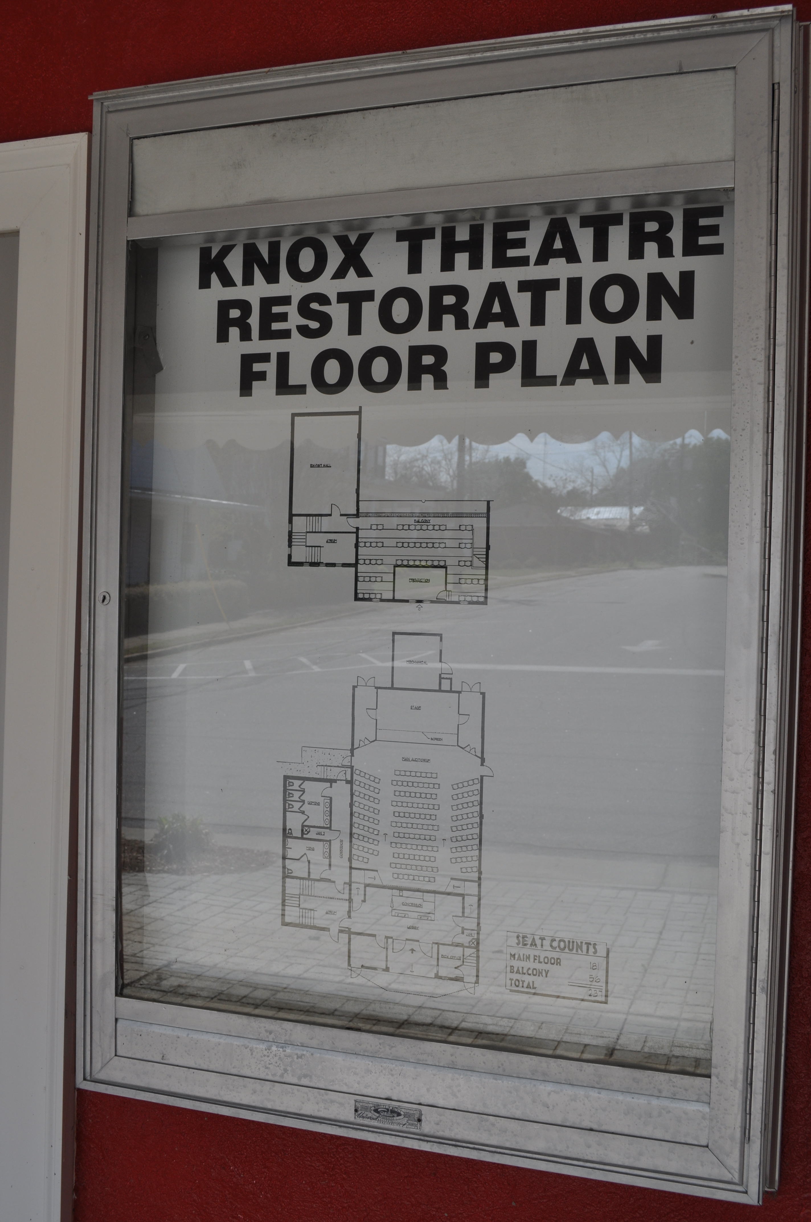
0006 Theater map Img_8786
0007 Theater Img_8787
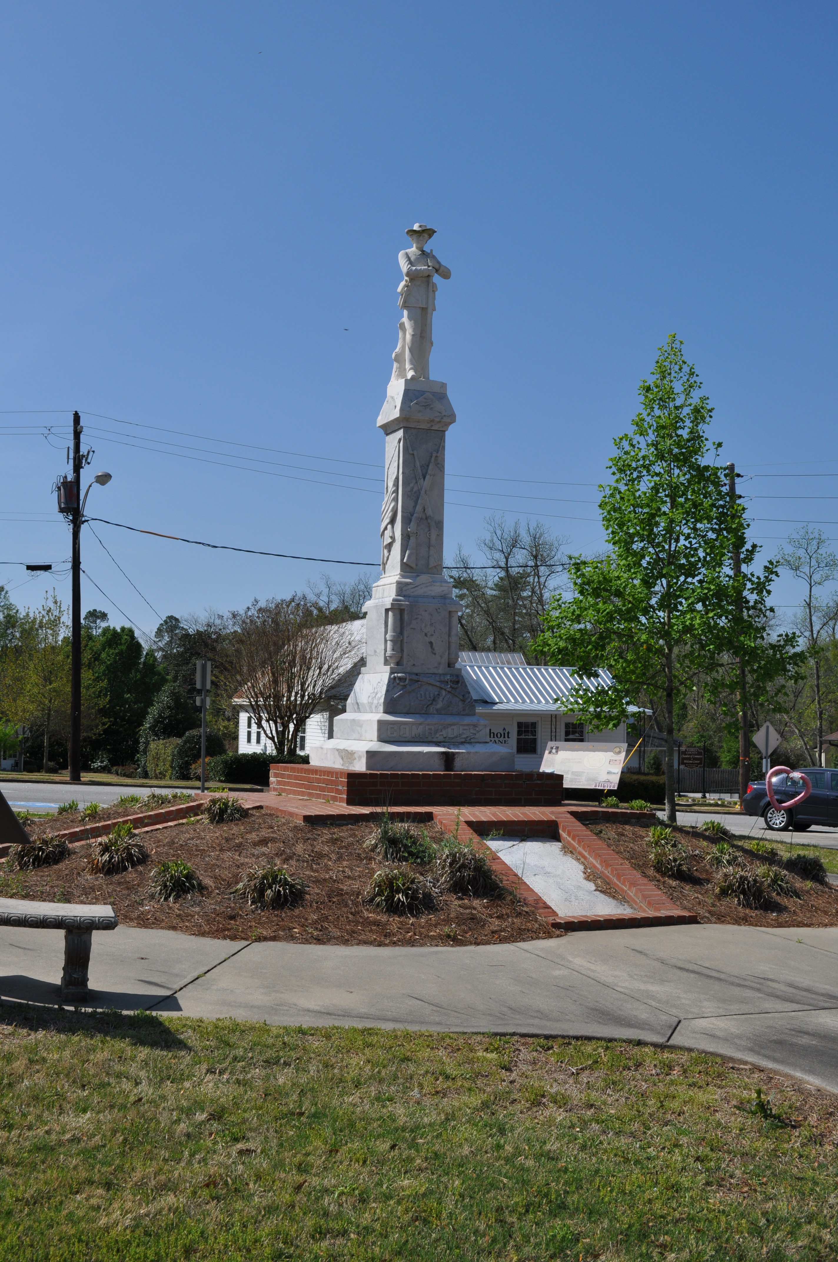
0009 Civil War Monument Img_8789
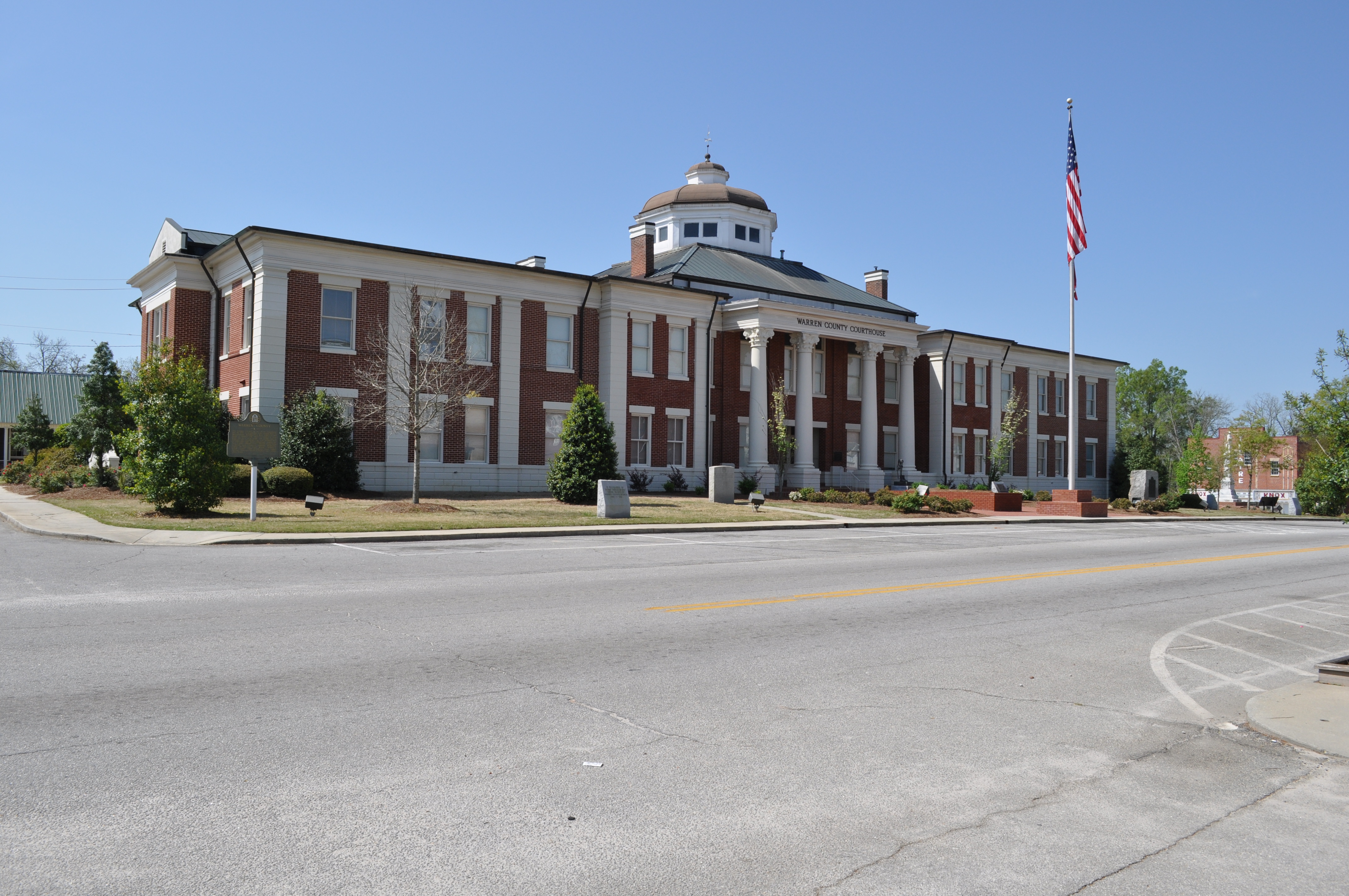
0010 Warrenton Courthouse Img_8792
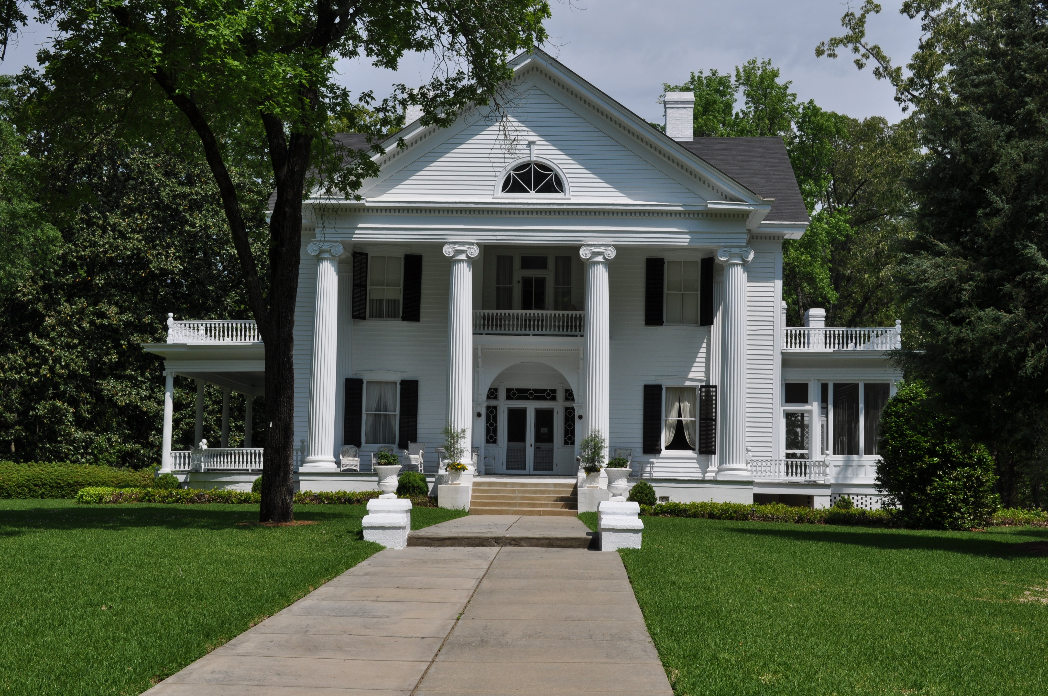
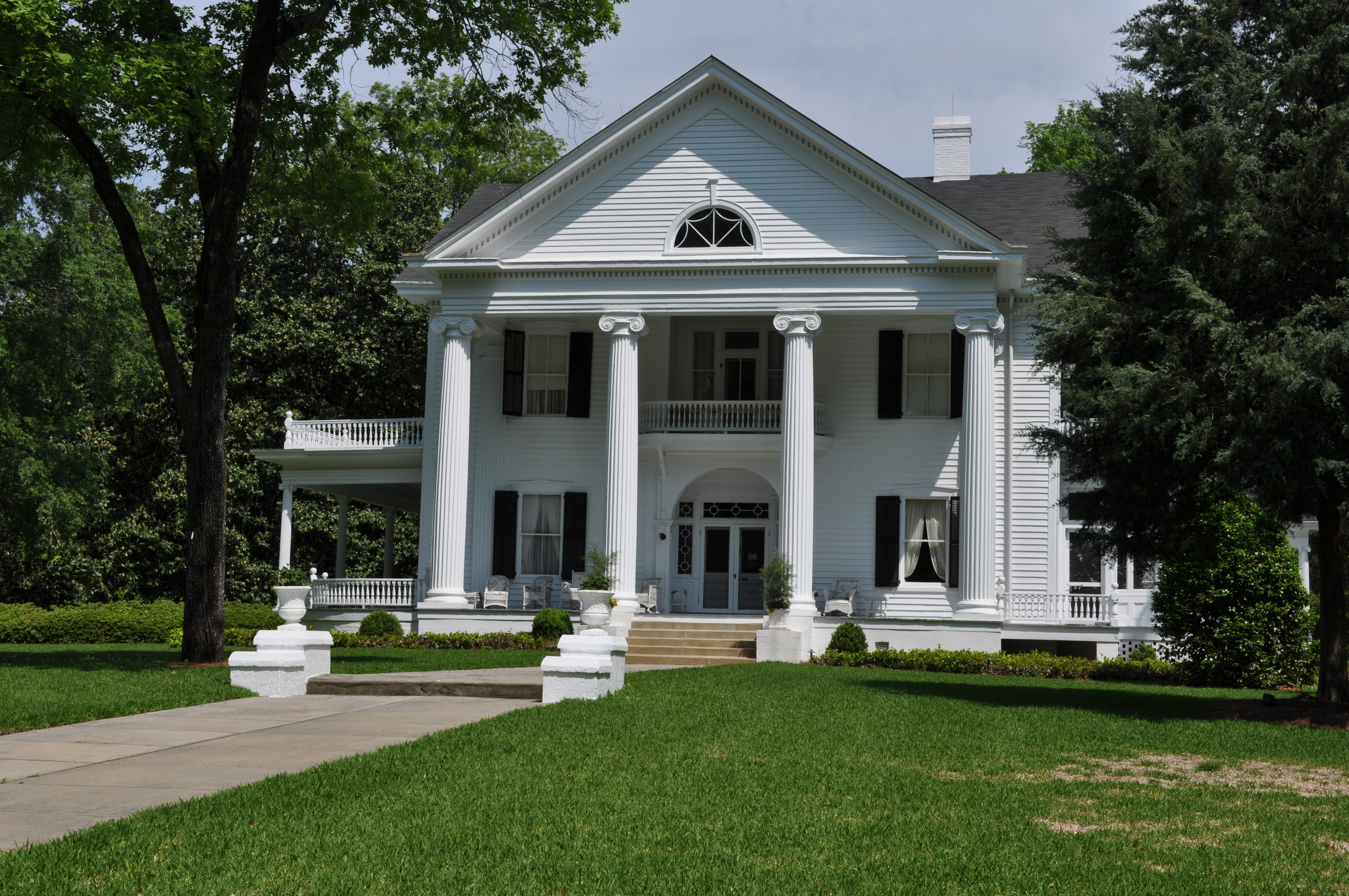
House 1A Thomson GA

House 1B Thomson GA
House 1C Thomson GA

House 2A Thomson GA
House 2B Thomson GA
Topographic Map of 70 N Whitehead St, Warrenton, GA, USA
Find elevation by address:

Places near 70 N Whitehead St, Warrenton, GA, USA:
Warrenton
Washington Hwy, Warrenton, GA, USA
Camak
Warren County
39 Ricketson Rd
Quaker Rd, Warrenton, GA, USA
2317 Mesena Rd
Bastonville Rd, Warrenton, GA, USA
1497 Mt Pleasant Rd
634 Wire Rd
502 Hickory Hill Dr
Thomson
Glascock County
GA-80, Warrenton, GA, USA
Mcduffie County
1851 Salem Rd
Gibson
61 Calhoun St, Gibson, GA, USA
Mitchell
3855 Washington Rd
Recent Searches:
- Elevation of Spaceport America, Co Rd A, Truth or Consequences, NM, USA
- Elevation of Warwick, RI, USA
- Elevation of Fern Rd, Whitmore, CA, USA
- Elevation of 62 Abbey St, Marshfield, MA, USA
- Elevation of Fernwood, Bradenton, FL, USA
- Elevation of Felindre, Swansea SA5 7LU, UK
- Elevation of Leyte Industrial Development Estate, Isabel, Leyte, Philippines
- Elevation of W Granada St, Tampa, FL, USA
- Elevation of Pykes Down, Ivybridge PL21 0BY, UK
- Elevation of Jalan Senandin, Lutong, Miri, Sarawak, Malaysia