Elevation of Mitchell, GA, USA
Location: United States > Georgia > Glascock County >
Longitude: -82.703189
Latitude: 33.2198688
Elevation: 165m / 541feet
Barometric Pressure: 99KPa
Elevation Map:
Satellite Map:
Related Photos:
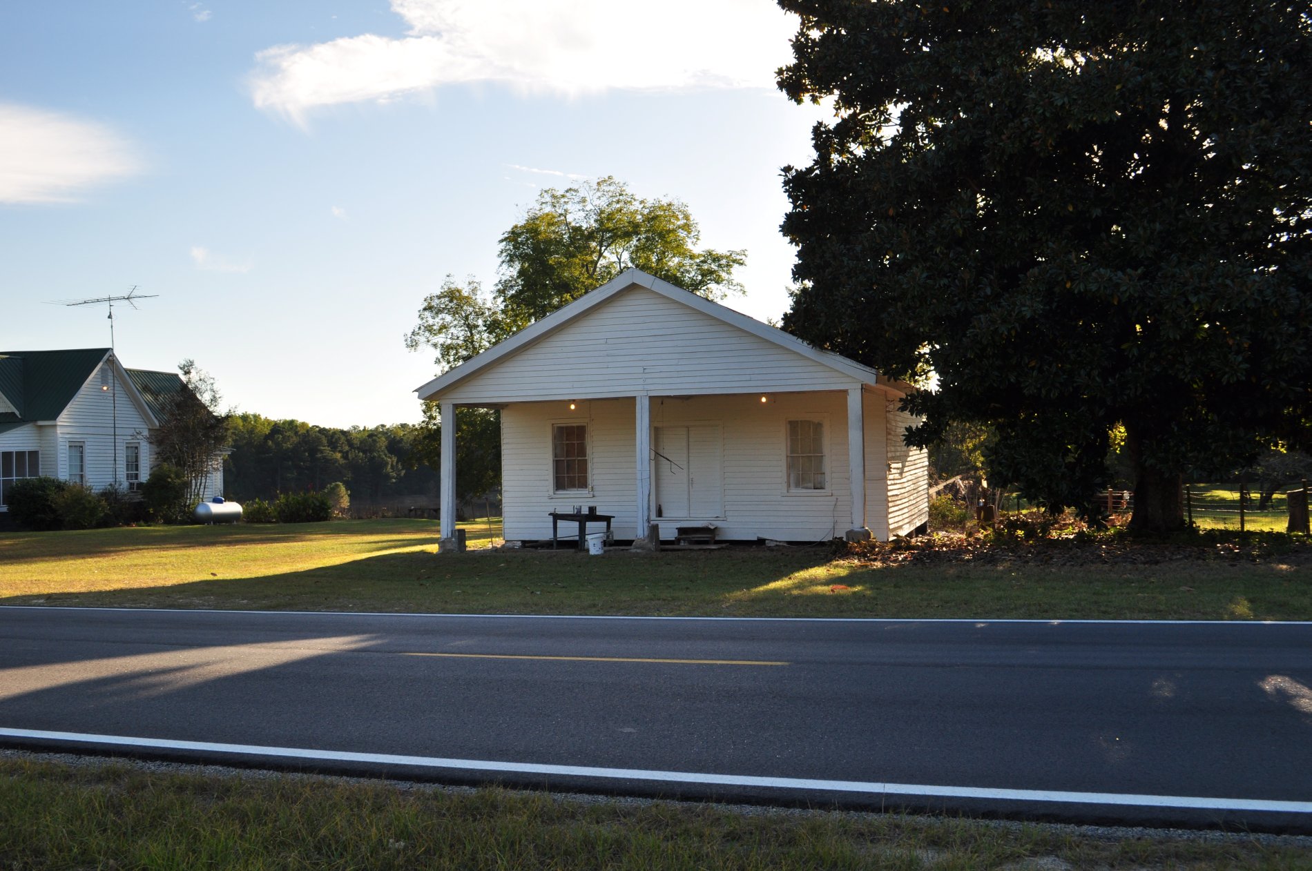
Hickory Grove
0028 Grist mill Img_8808

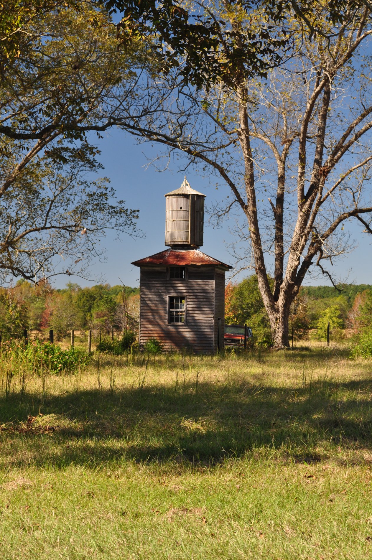
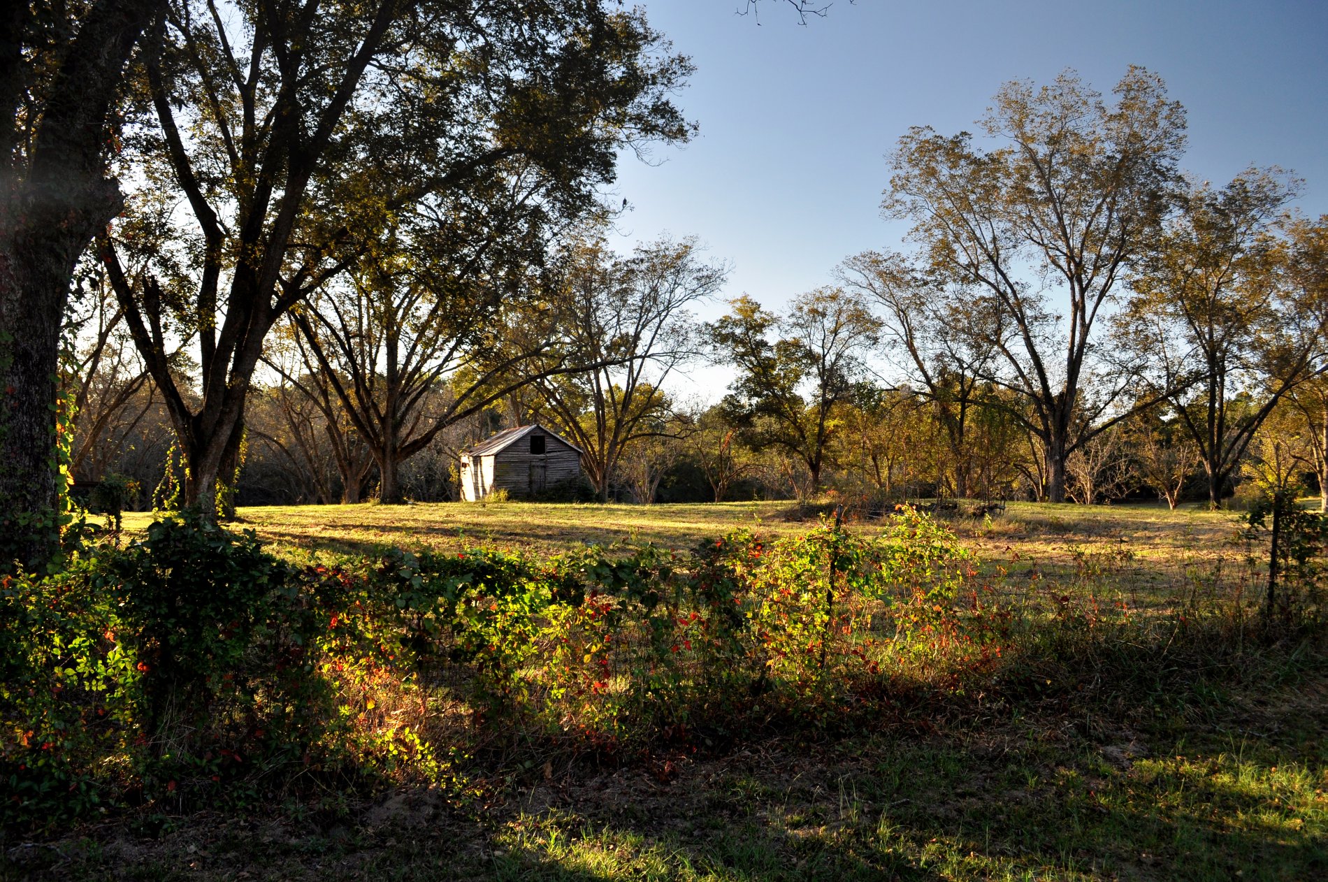
Abandoned Dairy Barn
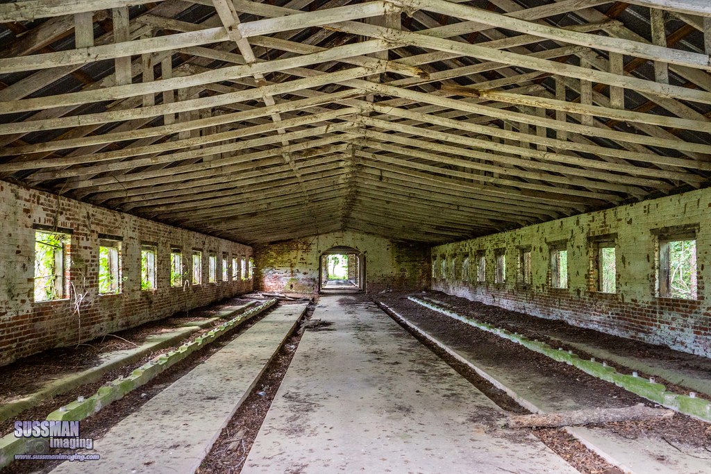
Abandoned Dairy Barn

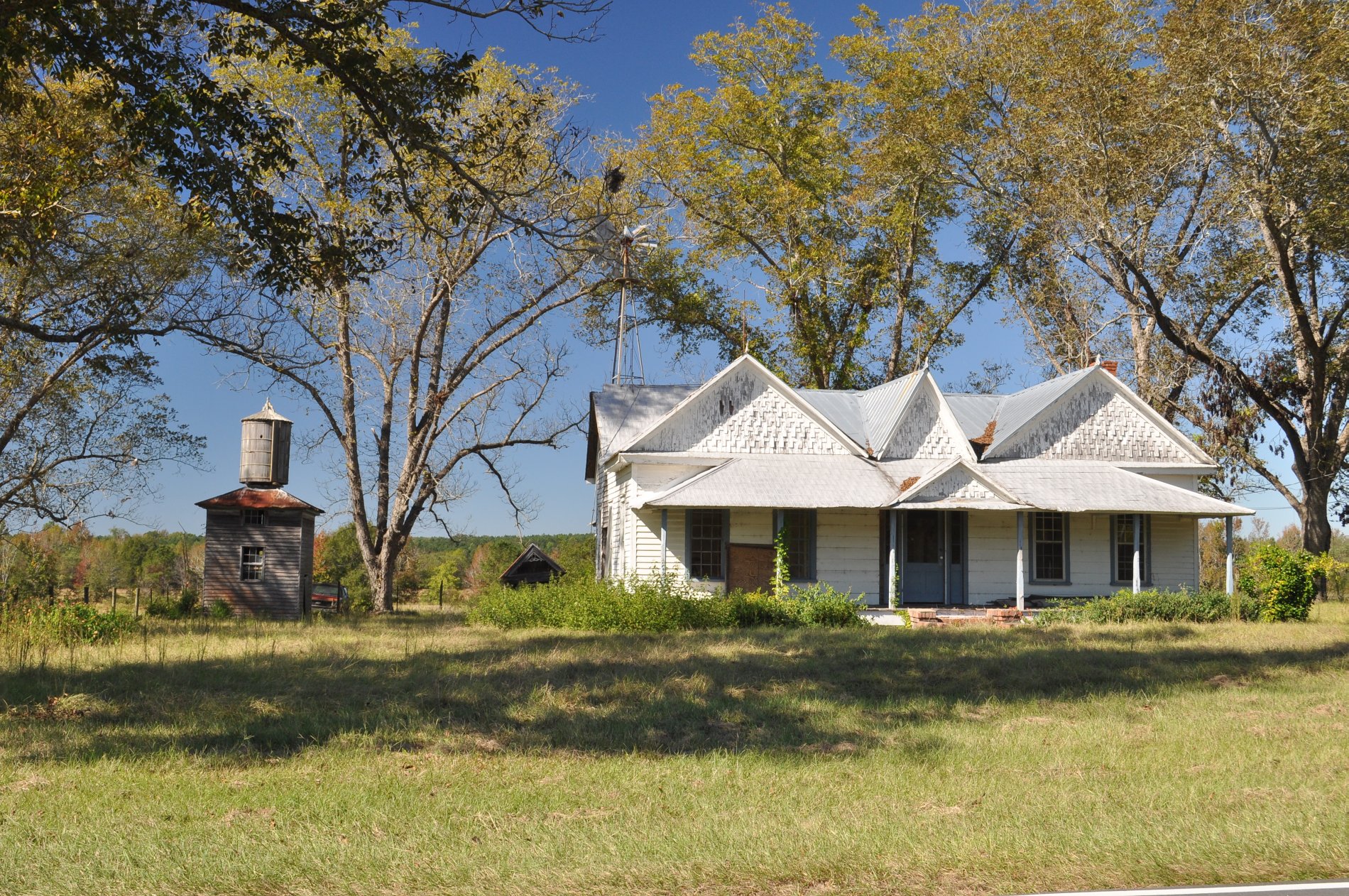
The Richardsons
0018 Grist mill Img_8798
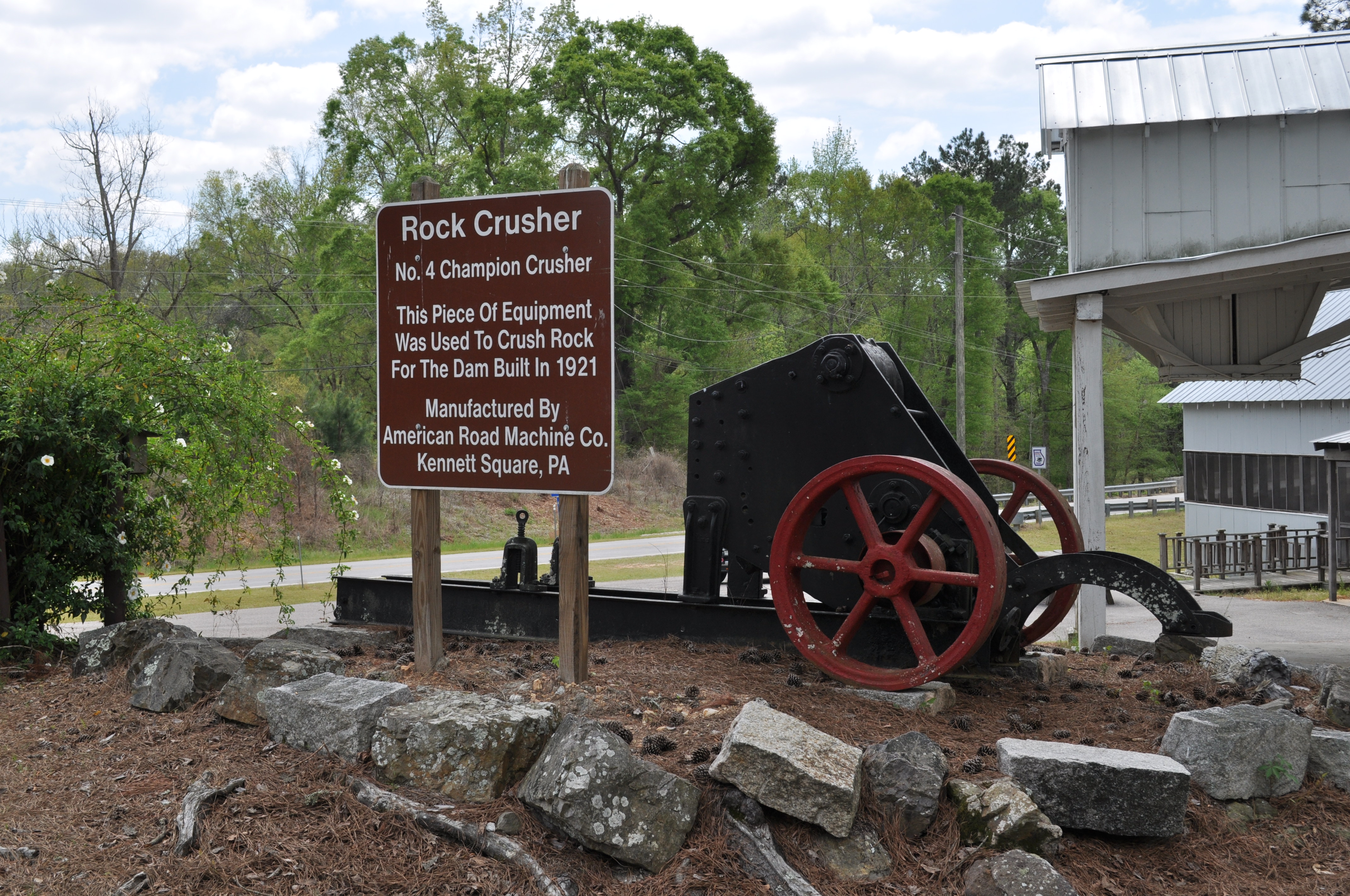
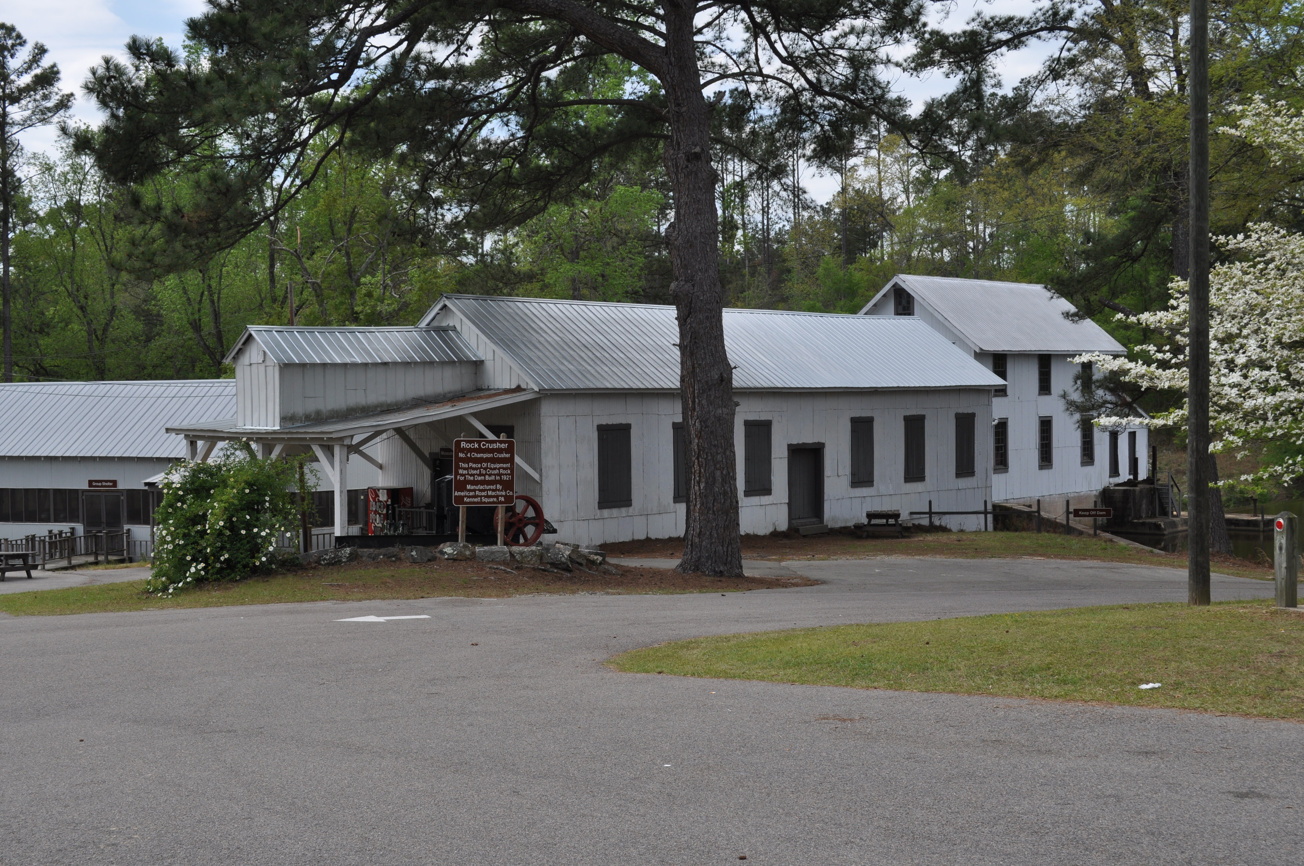
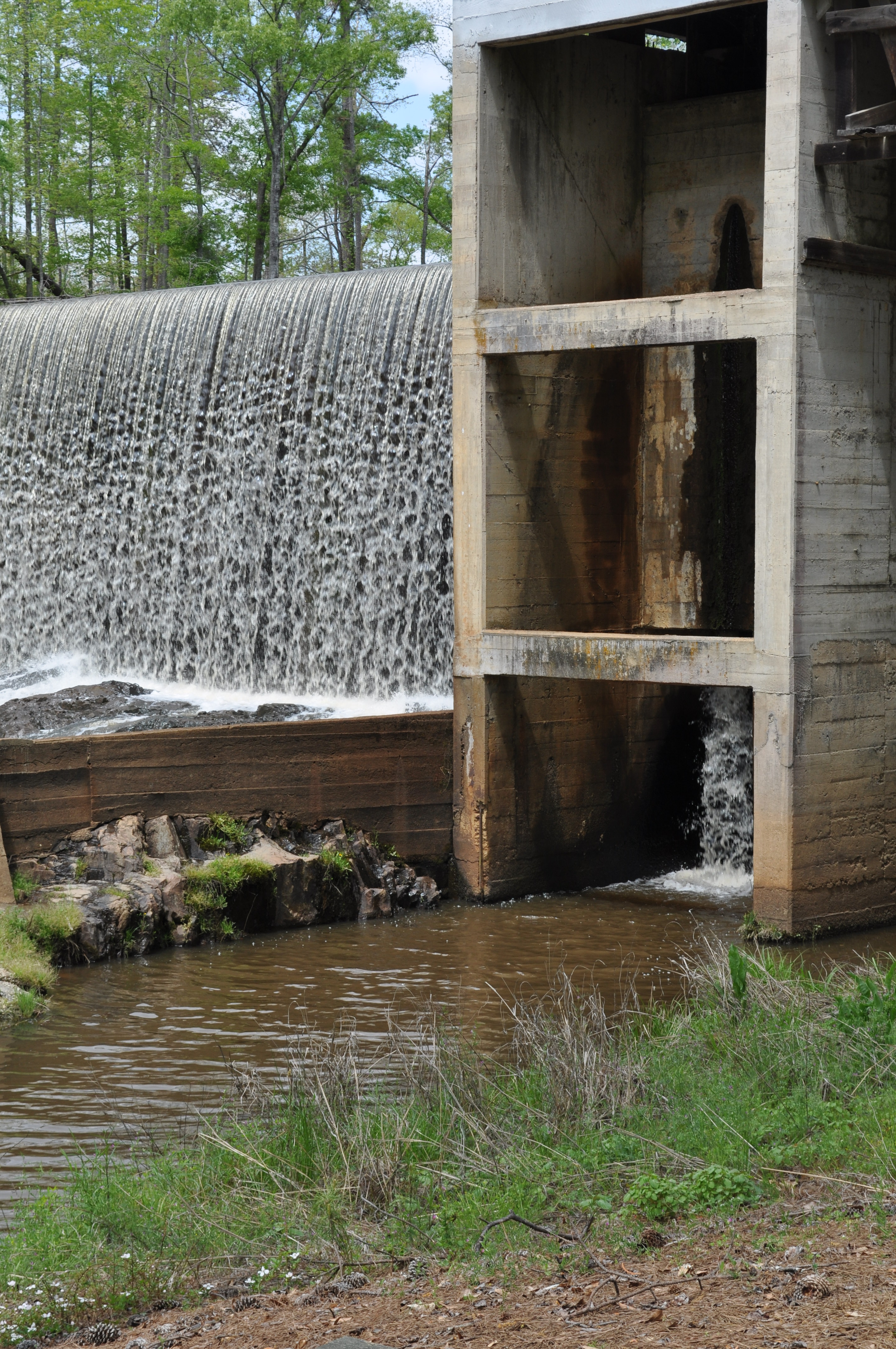
0019 Rock Crusher Img_8799
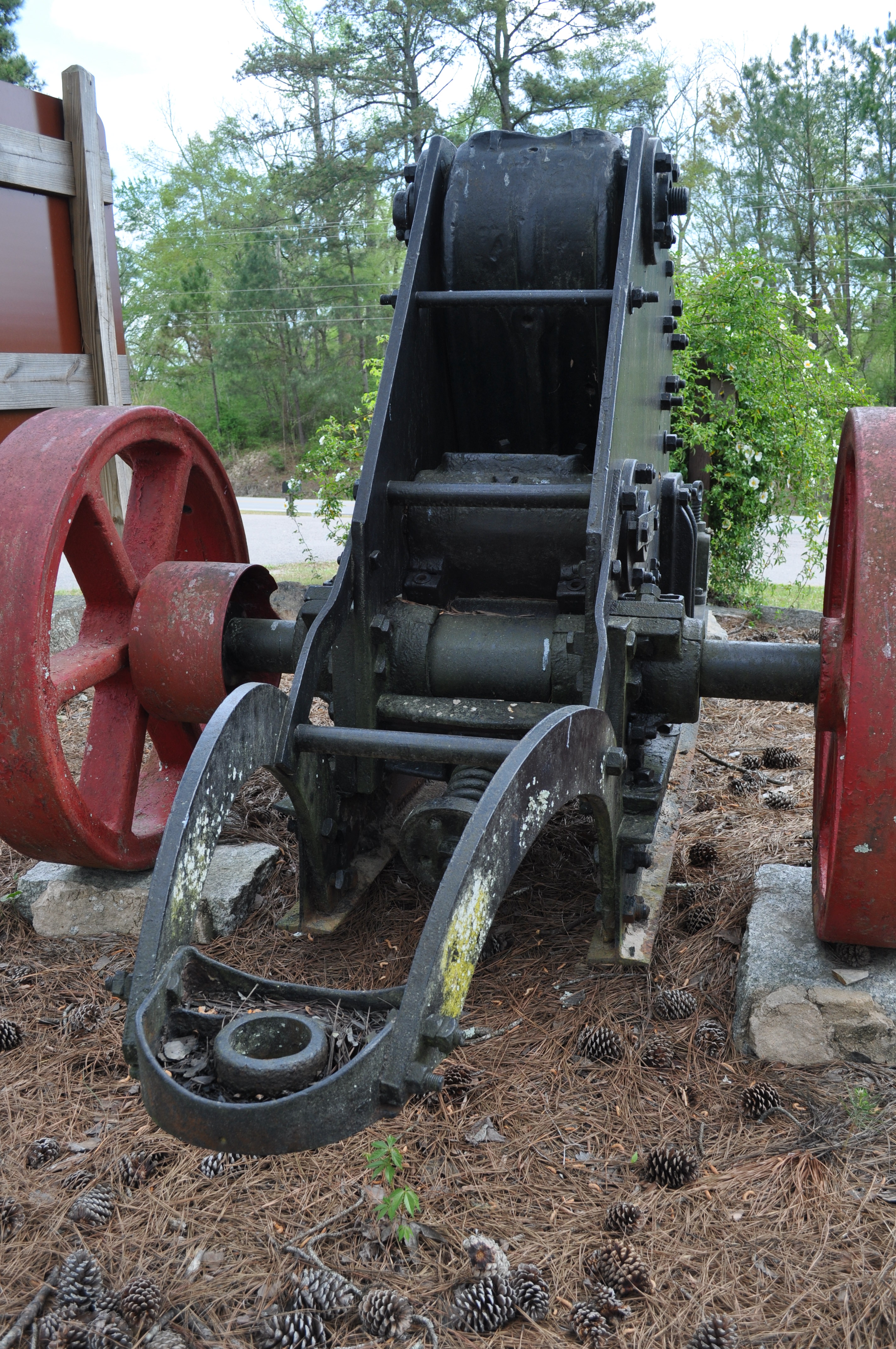
0020 Rock Crusher Img_8800
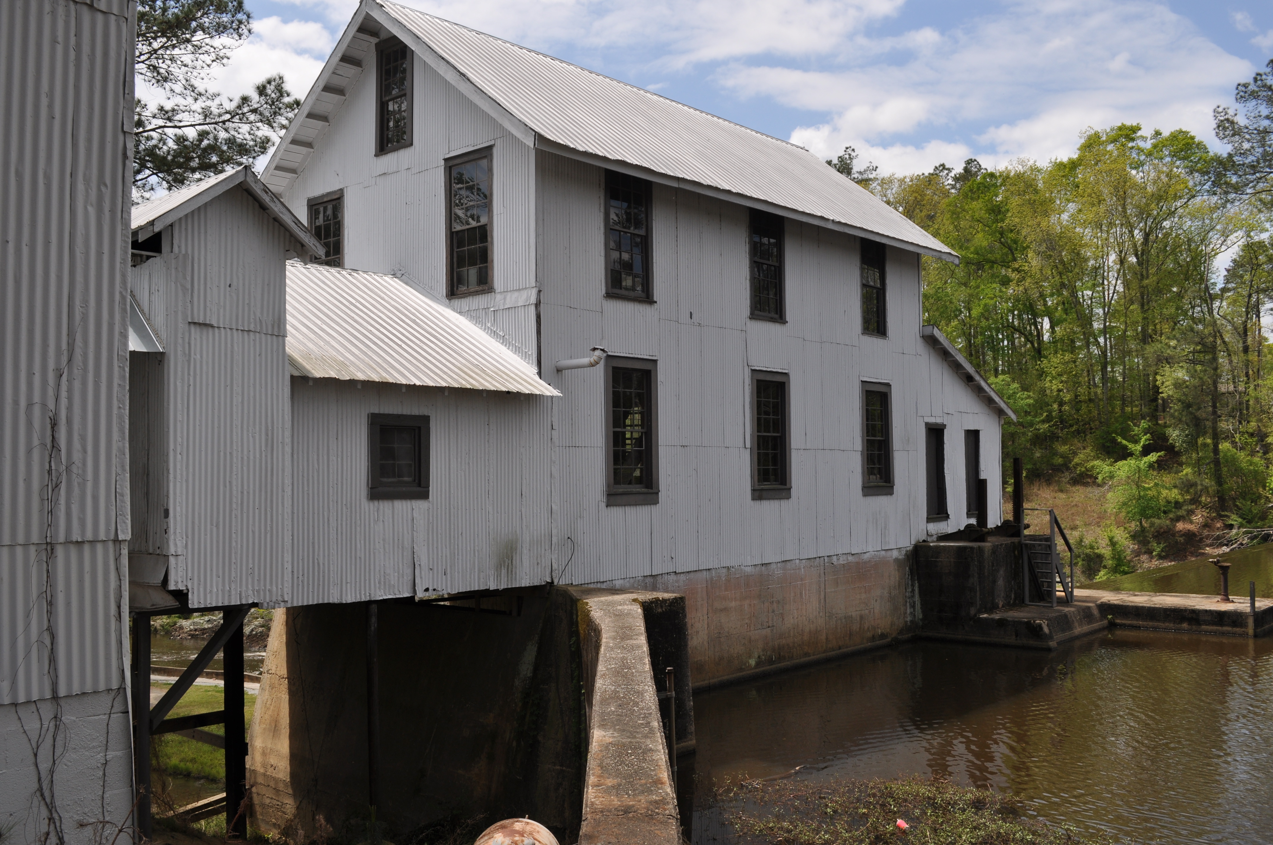
0021 Grist mill Img_8801

0022 Grist Mill Store Img_8802
0023 Grist mill Img_8803
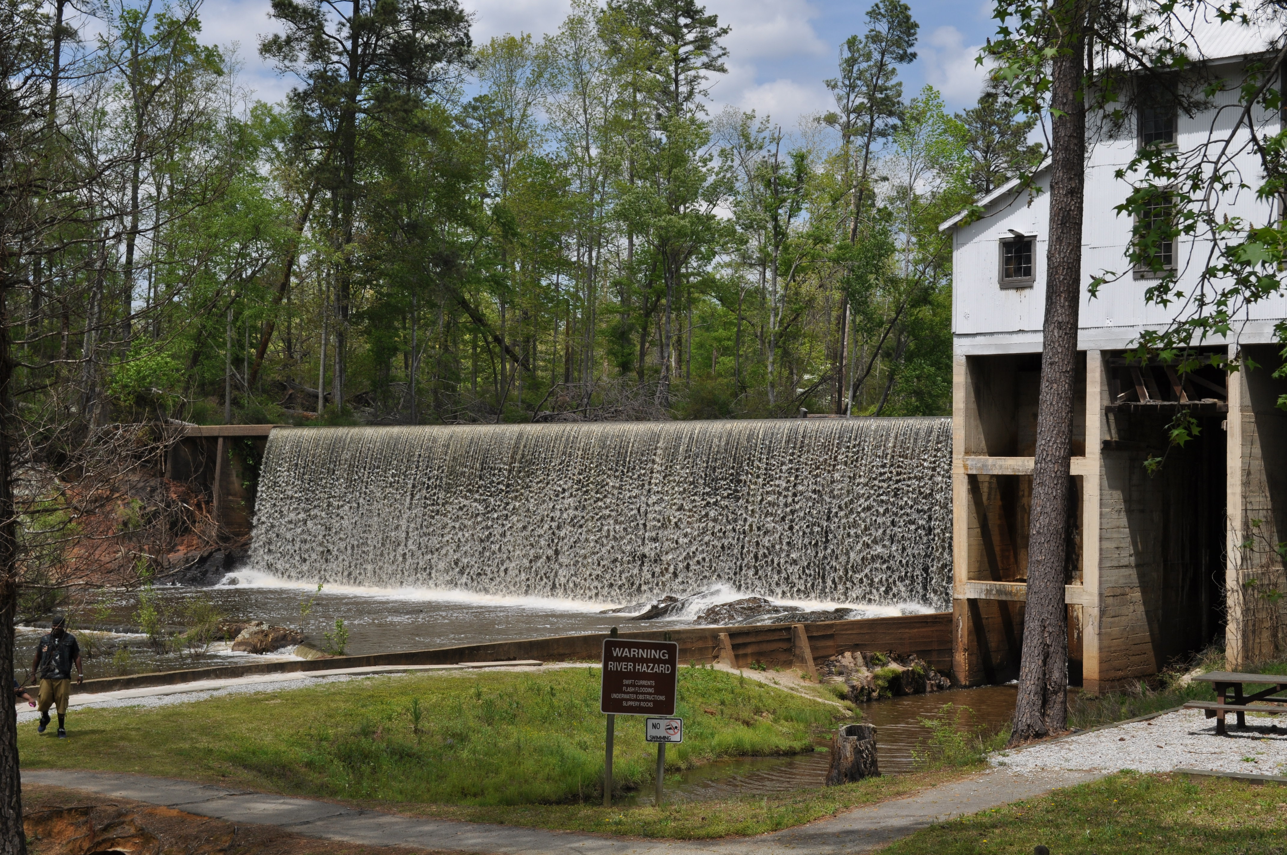
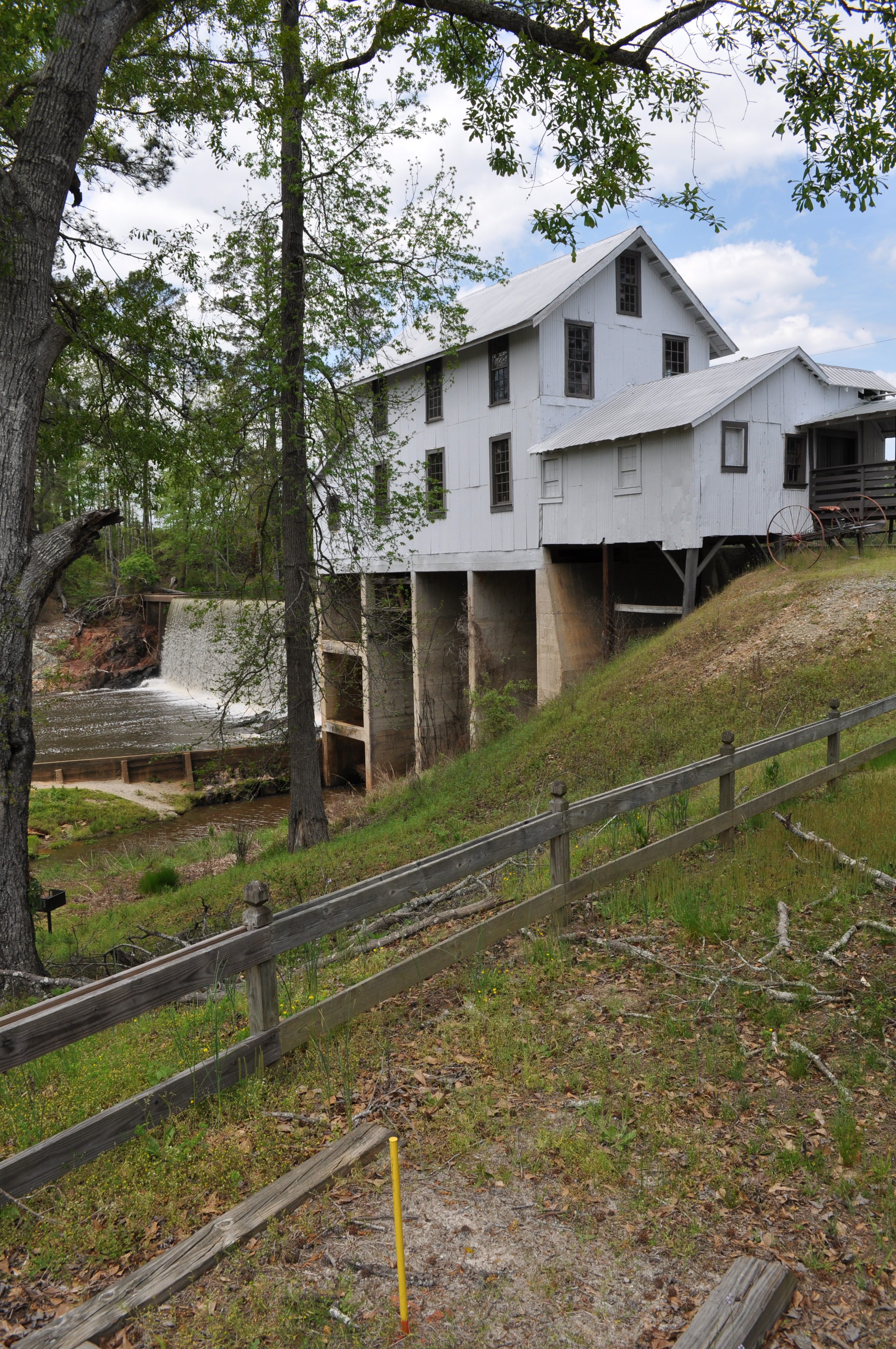
0024 Falls Img_8804
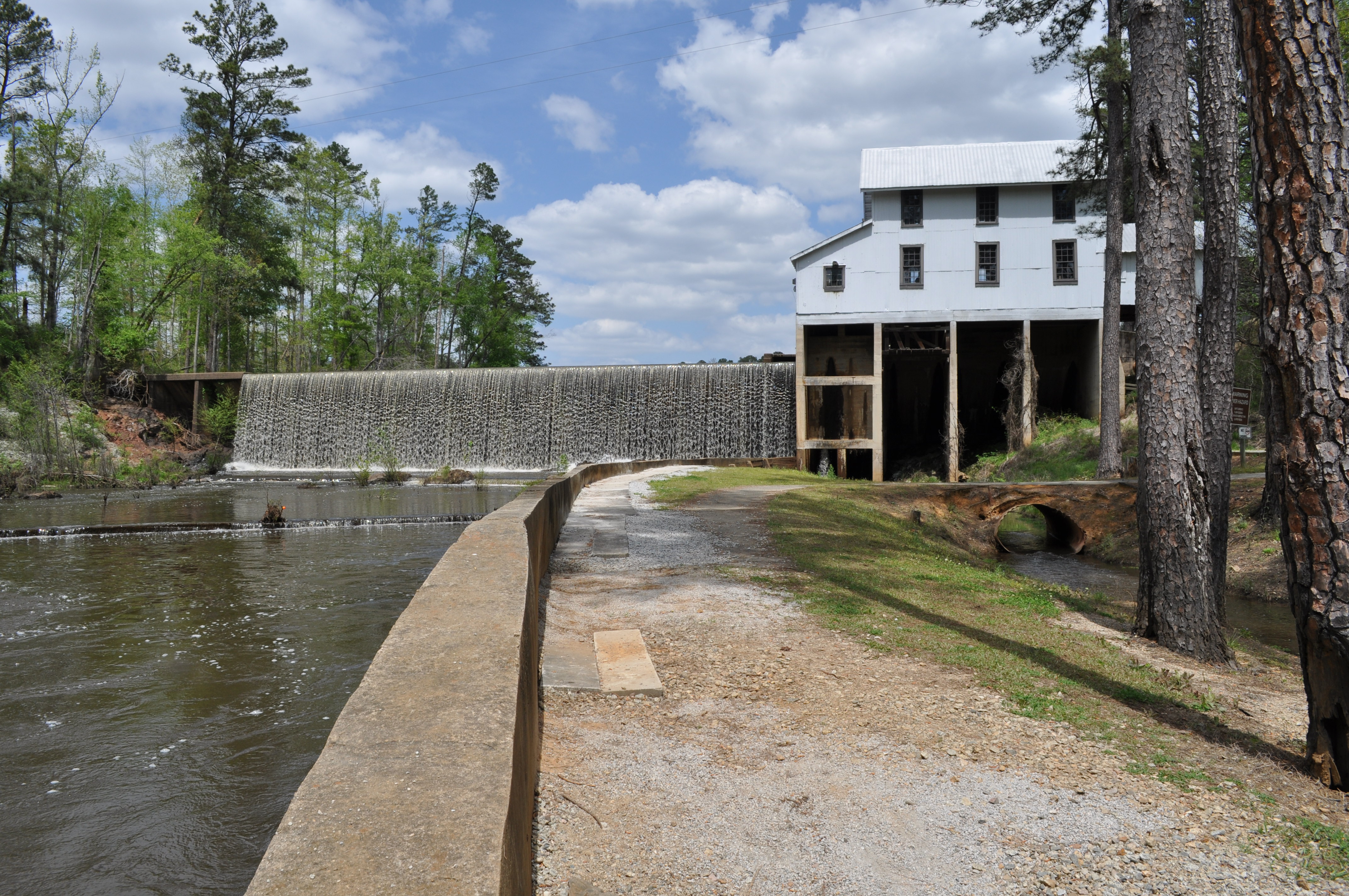
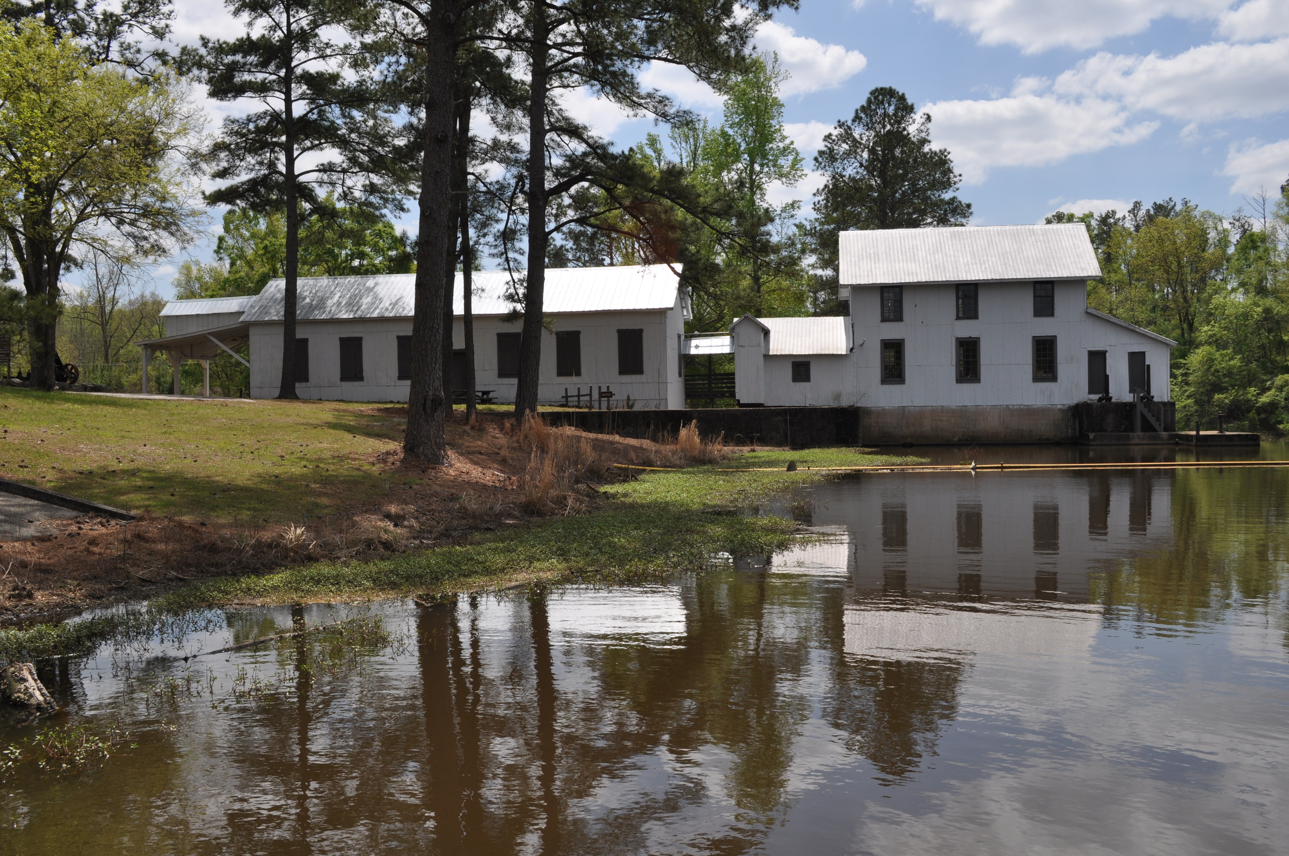
0025 Falls and mill Img_8807
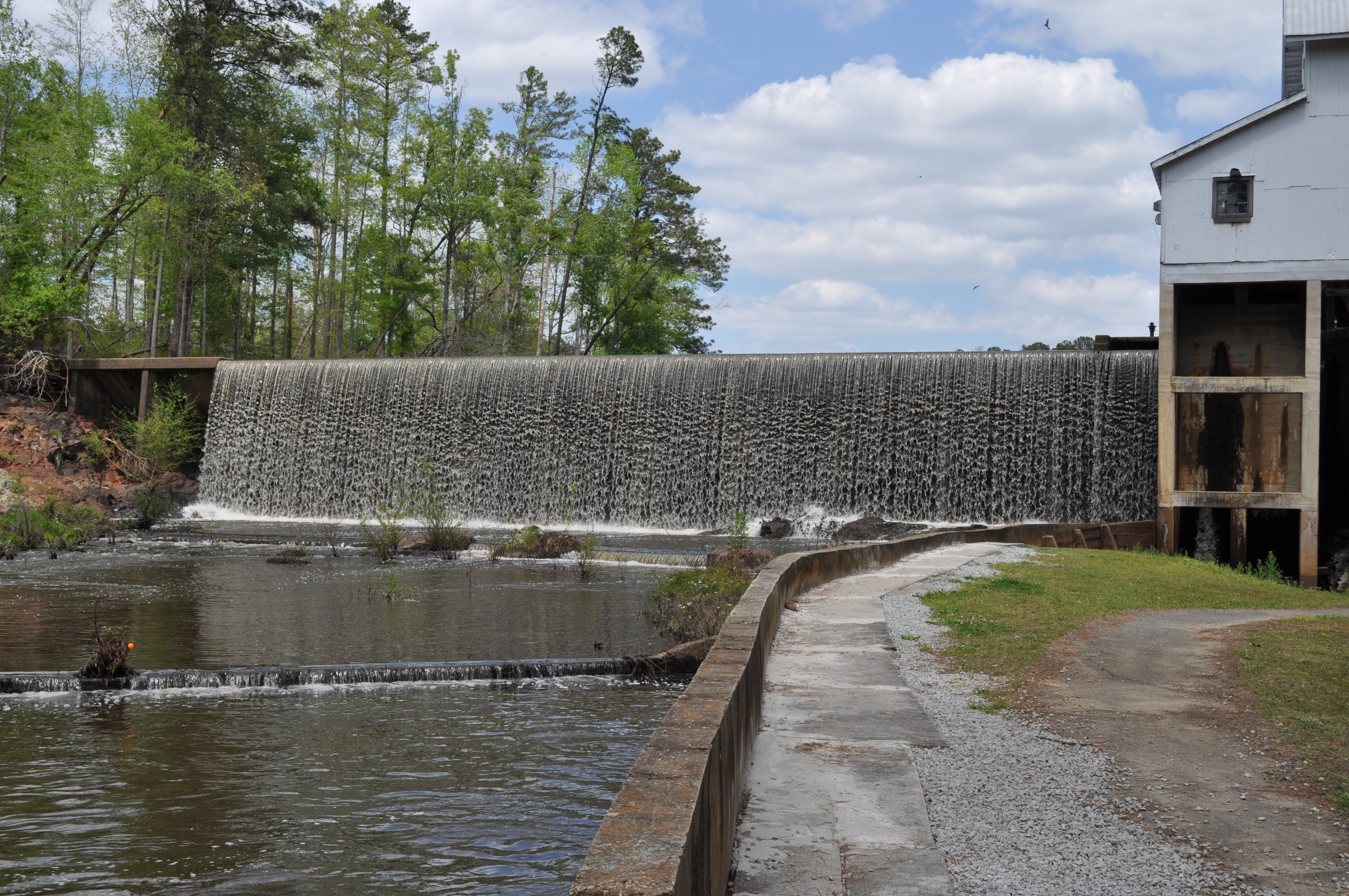
0026 Falls Img_8806
0027 Falls and mill Img_8805
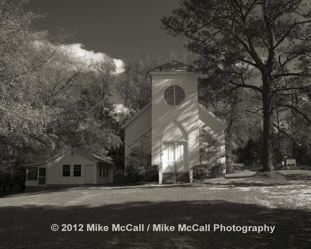
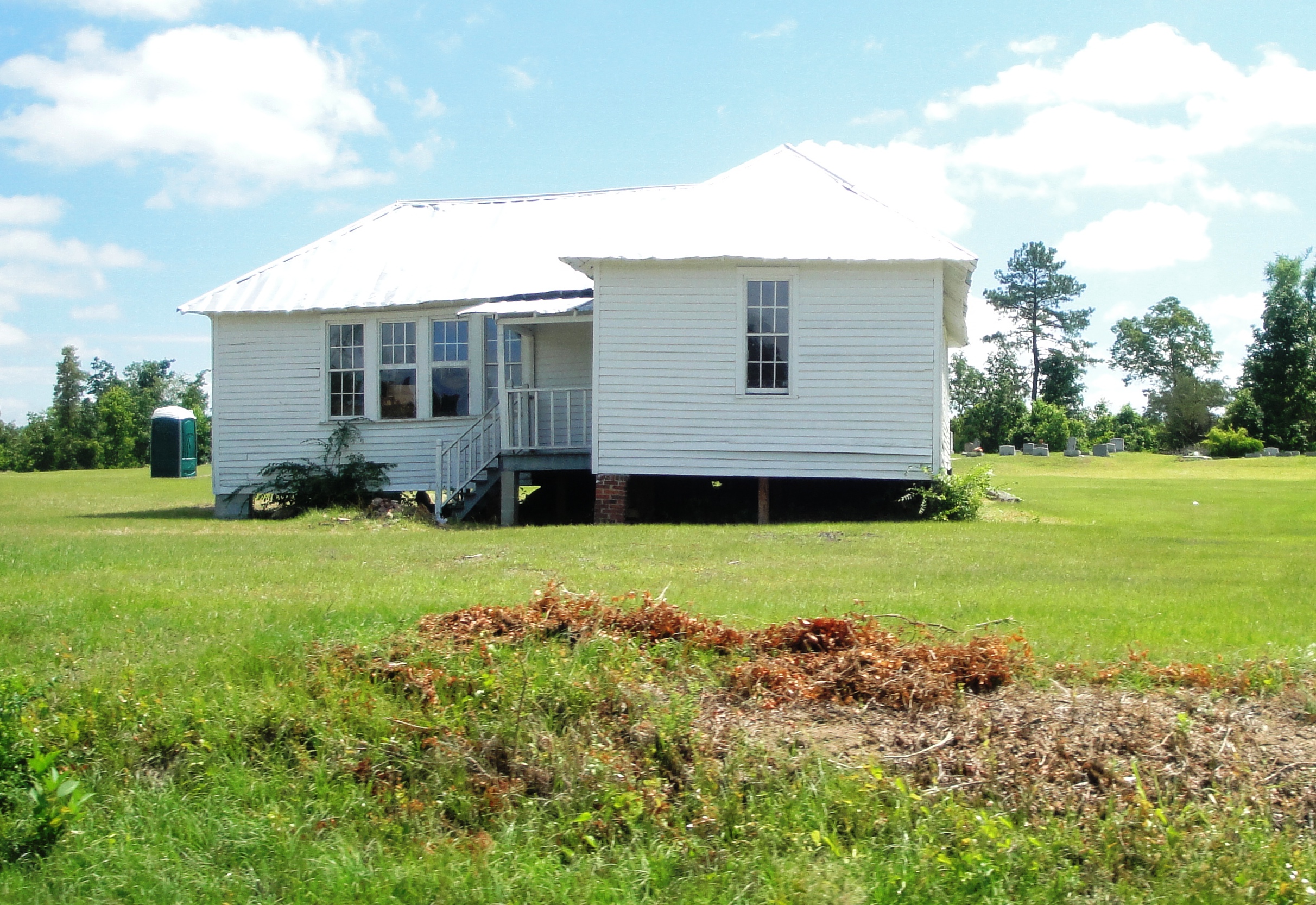
Shoals Old Line Primitive Baptist Church
Washington County, Georgia
Washington County, Georgia
Washington County, Georgia
Washington County Georgia
Hamburg State Park
Washington County Georgia
Topographic Map of Mitchell, GA, USA
Find elevation by address:

Places in Mitchell, GA, USA:
Places near Mitchell, GA, USA:
GA-, Mitchell, GA, USA
6071 Hamburg State Park Rd
Glascock County
61 Calhoun St, Gibson, GA, USA
Gibson
Bastonville Rd, Warrenton, GA, USA
Quaker Rd, Warrenton, GA, USA
39 Ricketson Rd
Warrenton
70 N Whitehead St
GA-80, Warrenton, GA, USA
Warren County
Steep Hollow Rd, Gibson, GA, USA
421 Webster Rd
E Main St, Stapleton, GA, USA
Stapleton
Washington Hwy, Warrenton, GA, USA
Camak
1705 Bothwell Rd
5922 Ga-24
Recent Searches:
- Elevation of W Granada St, Tampa, FL, USA
- Elevation of Pykes Down, Ivybridge PL21 0BY, UK
- Elevation of Jalan Senandin, Lutong, Miri, Sarawak, Malaysia
- Elevation of Bilohirs'k
- Elevation of 30 Oak Lawn Dr, Barkhamsted, CT, USA
- Elevation of Luther Road, Luther Rd, Auburn, CA, USA
- Elevation of Unnamed Road, Respublika Severnaya Osetiya — Alaniya, Russia
- Elevation of Verkhny Fiagdon, North Ossetia–Alania Republic, Russia
- Elevation of F. Viola Hiway, San Rafael, Bulacan, Philippines
- Elevation of Herbage Dr, Gulfport, MS, USA