Elevation of Stapleton, GA, USA
Location: United States > Georgia > Jefferson County >
Longitude: -82.468182
Latitude: 33.2157012
Elevation: 135m / 443feet
Barometric Pressure: 100KPa
Elevation Map:
Satellite Map:
Related Photos:
untitled

Wrens FD Rescue 2, GA

Wrens FD Engine 2, GA

Wrens FD Engine 2, GA

Wrens FD Engine 3, GA

Wrens FD, GA

Wrens FD Engine 4, GA

Wrens FD Engine 4, GA

Priority Care Ambulance Service, GA

Priority Care Ambulance Service, GA

Priority Care Ambulance Service, GA

Goldcross EMS, GA

Wrens PD, GA

Wrens PD, GA

Wrens PD, GA

Wrens PD, GA

Wrens PD, GA

Wrens PD, GA

StreetView car
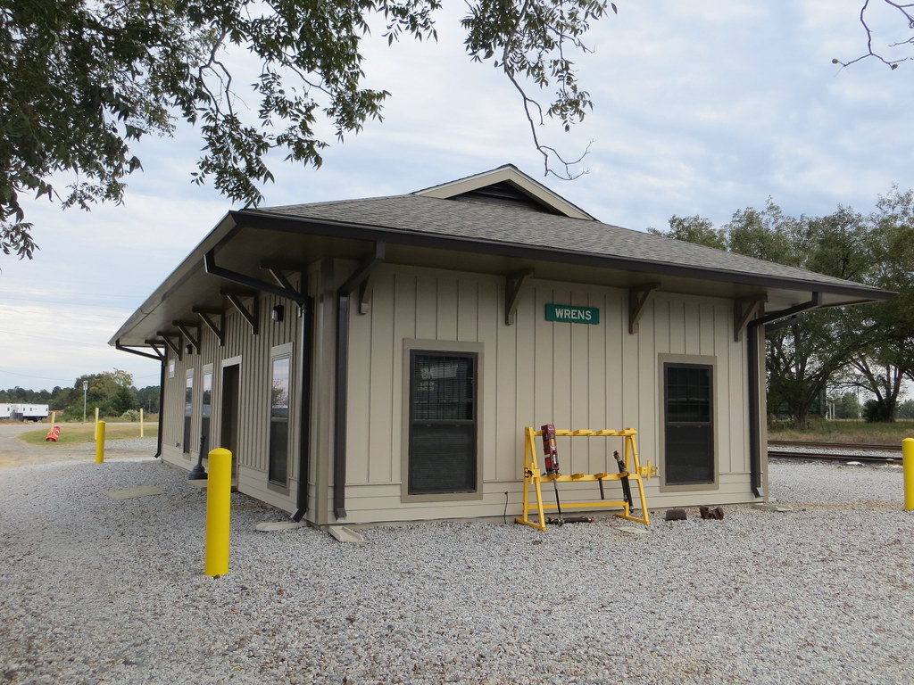
Train Depot Wrens GA

Cold Pansies

Long Road Ahead
Topographic Map of Stapleton, GA, USA
Find elevation by address:

Places in Stapleton, GA, USA:
Places near Stapleton, GA, USA:
E Main St, Stapleton, GA, USA
Steep Hollow Rd, Gibson, GA, USA
4080 Ga-17
Wrens
GA-80, Warrenton, GA, USA
1705 Bothwell Rd
Gibson
61 Calhoun St, Gibson, GA, USA
Bastonville Rd, Warrenton, GA, USA
Campground Rd, Wrens, GA, USA
Jefferson County
Glascock County
Quaker Rd, Warrenton, GA, USA
4016 Horsham Trail
Augusta Rd, Dearing, GA, USA
Dearing
Huddle House
1851 Salem Rd
39 Ricketson Rd
1497 Mt Pleasant Rd
Recent Searches:
- Elevation of Congressional Dr, Stevensville, MD, USA
- Elevation of Bellview Rd, McLean, VA, USA
- Elevation of Stage Island Rd, Chatham, MA, USA
- Elevation of Shibuya Scramble Crossing, 21 Udagawacho, Shibuya City, Tokyo -, Japan
- Elevation of Jadagoniai, Kaunas District Municipality, Lithuania
- Elevation of Pagonija rock, Kranto 7-oji g. 8"N, Kaunas, Lithuania
- Elevation of Co Rd 87, Jamestown, CO, USA
- Elevation of Tenjo, Cundinamarca, Colombia
- Elevation of Côte-des-Neiges, Montreal, QC H4A 3J6, Canada
- Elevation of Bobcat Dr, Helena, MT, USA