Elevation of Horsham Trail, Dearing, GA, USA
Location: United States > Georgia > Mcduffie County >
Longitude: -82.368544
Latitude: 33.4019056
Elevation: -10000m / -32808feet
Barometric Pressure: 295KPa
Elevation Map:
Satellite Map:
Related Photos:

Flexaret restored

The Forgotten

Anybody Home?

Evening woods
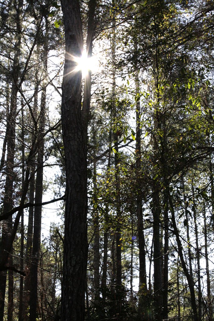
through the trees

A0111513

A0111514

A0111515

A0111516

A0111350

A0111351

A0111354

A0111360

A0111367

A0111369

A0111390

A0111406

A0111407

A0111408

A0111409

A0111410

A0111412

A0111417

A0111418

A0111419

A0111422
Topographic Map of Horsham Trail, Dearing, GA, USA
Find elevation by address:

Places near Horsham Trail, Dearing, GA, USA:
Dearing
Augusta Rd, Dearing, GA, USA
4323 Randall Rd
4323 Randall Hunt Rd
Harlem
1851 Salem Rd
1560 Appling Harlem Rd
492 Morris Pond Way
1651 Swint Rd
1579 Ray Owens Rd
7107 Bill Dorn Rd
Thomson
Appling
Appling Harlem Rd, Appling, GA, USA
1497 Mt Pleasant Rd
634 Wire Rd
502 Hickory Hill Dr
101 Barnett Way
Mcduffie County
2317 Mesena Rd
Recent Searches:
- Elevation of Woolwine, VA, USA
- Elevation of Lumagwas Diversified Farmers Multi-Purpose Cooperative, Lumagwas, Adtuyon, RV32+MH7, Pangantucan, Bukidnon, Philippines
- Elevation of Homestead Ridge, New Braunfels, TX, USA
- Elevation of Orchard Road, Orchard Rd, Marlborough, NY, USA
- Elevation of 12 Hutchinson Woods Dr, Fletcher, NC, USA
- Elevation of Holloway Ave, San Francisco, CA, USA
- Elevation of Norfolk, NY, USA
- Elevation of - San Marcos Pass Rd, Santa Barbara, CA, USA
- Elevation of th Pl SE, Issaquah, WA, USA
- Elevation of 82- D Rd, Captain Cook, HI, USA