Elevation of Gaylesville, AL, USA
Location: United States > Alabama > Cherokee County >
Longitude: -85.5569057
Latitude: 34.268426
Elevation: 179m / 587feet
Barometric Pressure: 0KPa
Related Photos:
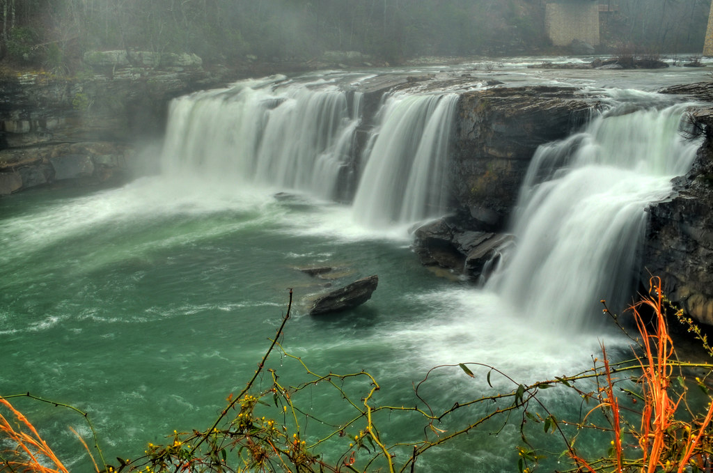
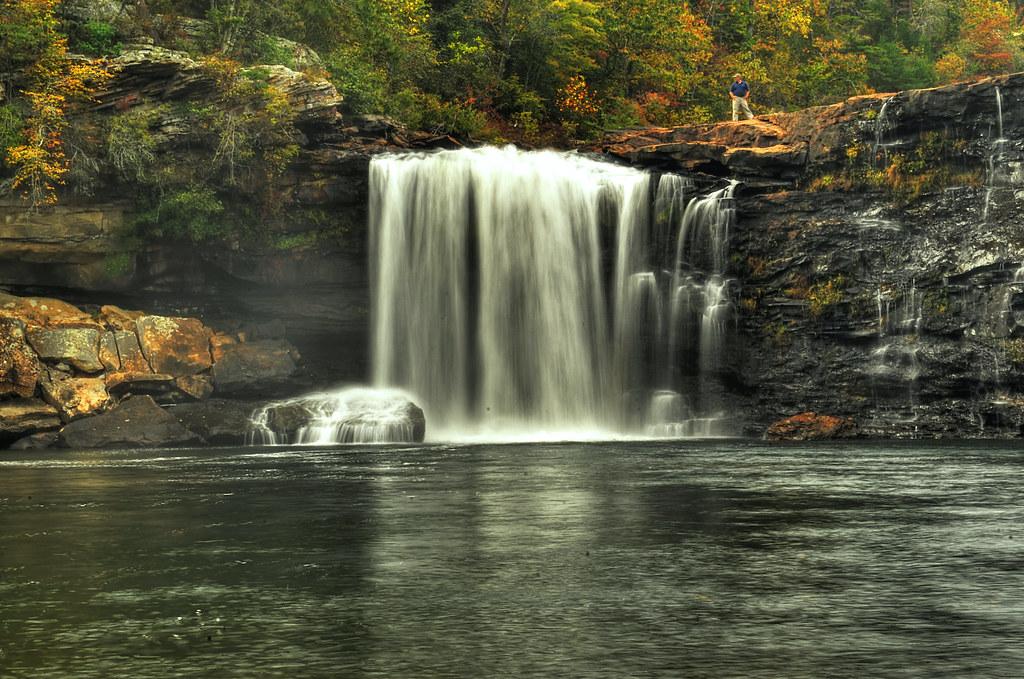
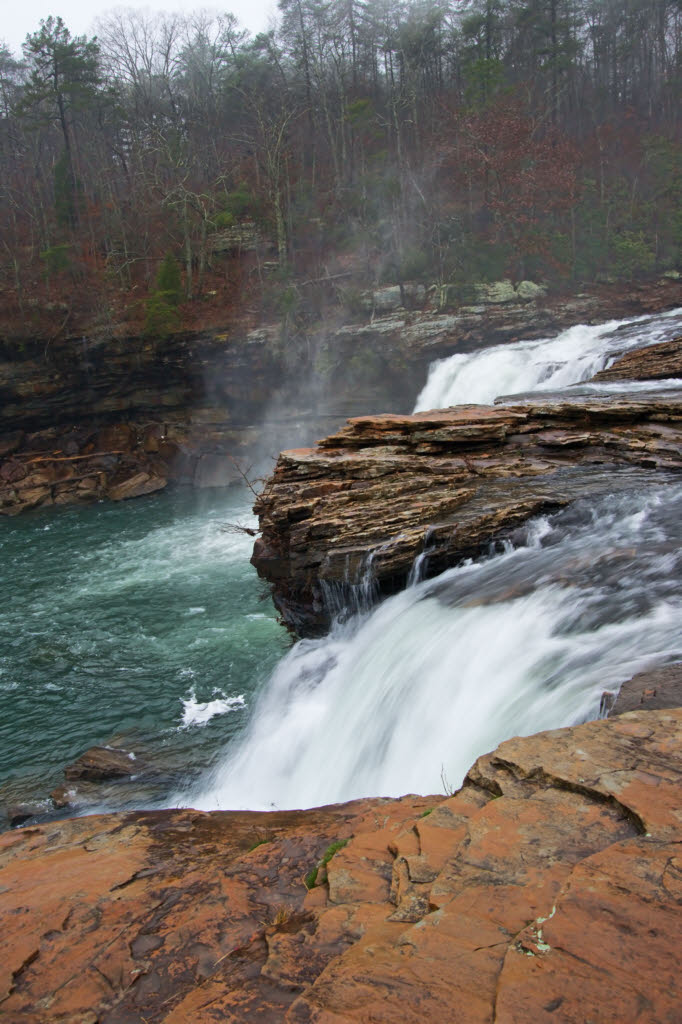
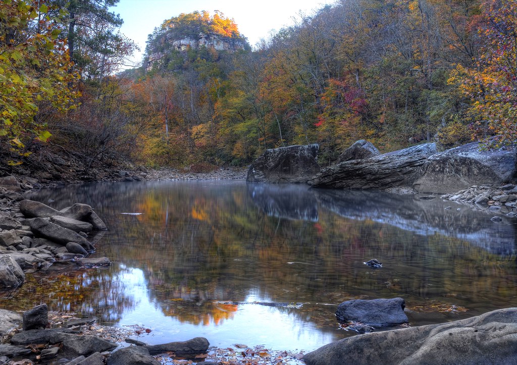
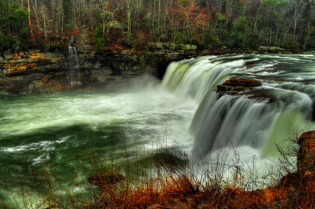
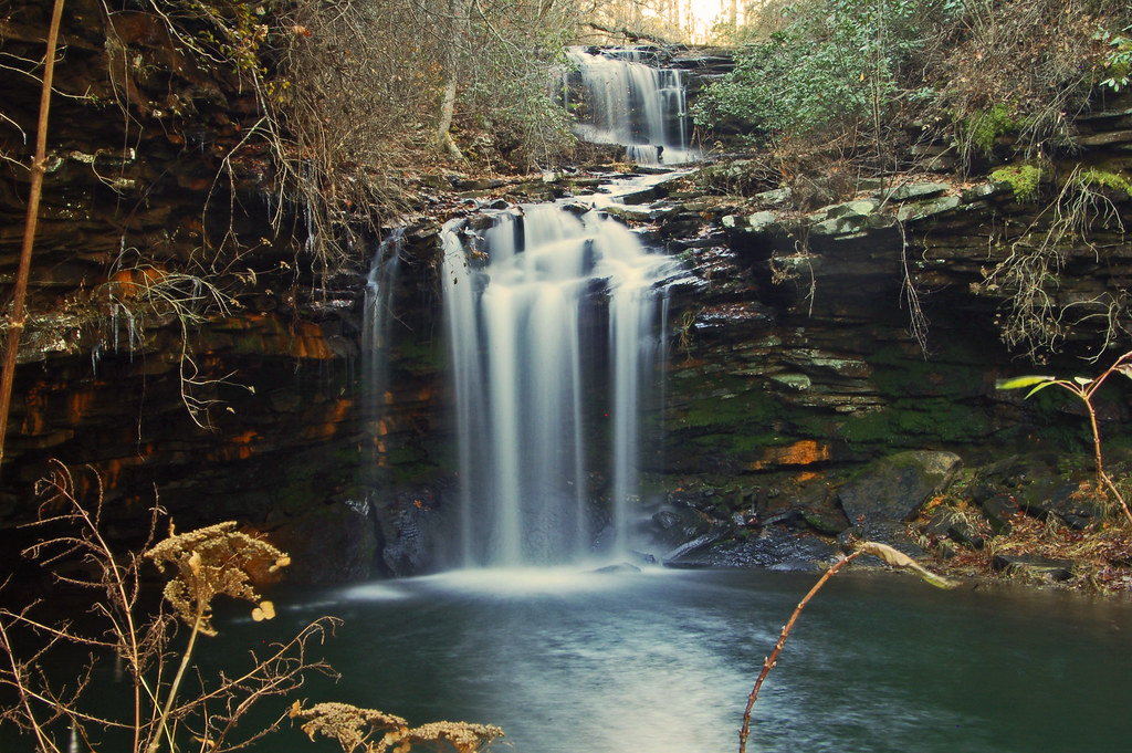
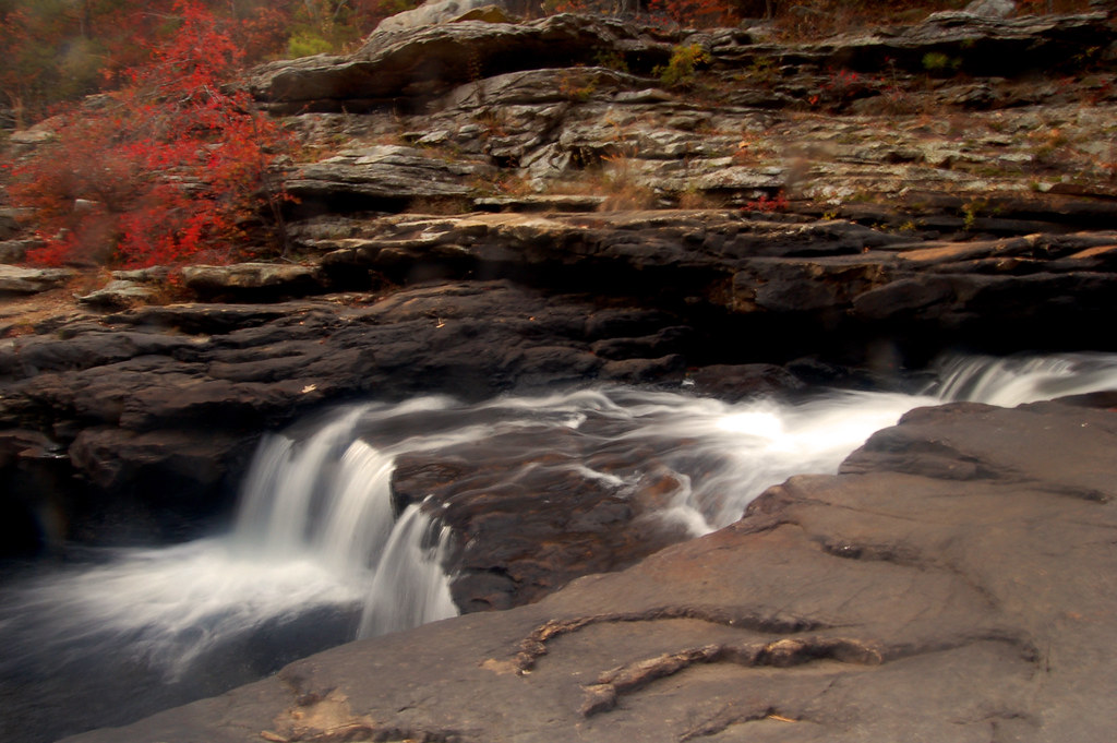
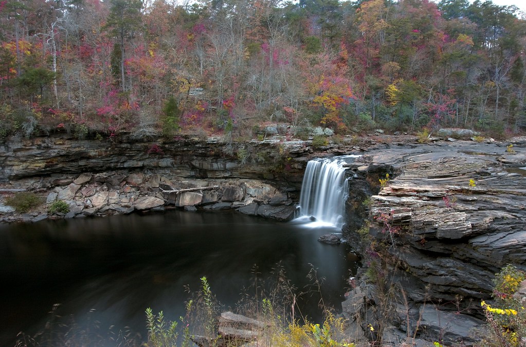
Little River Falls
Little River Canyon NWR Waterfall

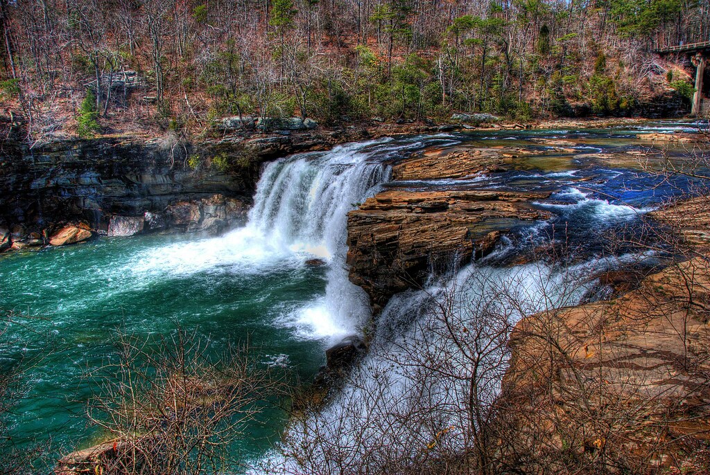
Little River Falls
Crow Point
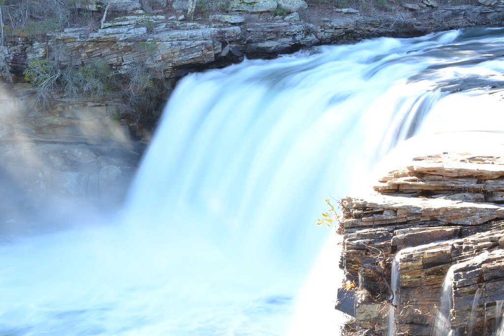
Little River Canyon Falls - Alabama
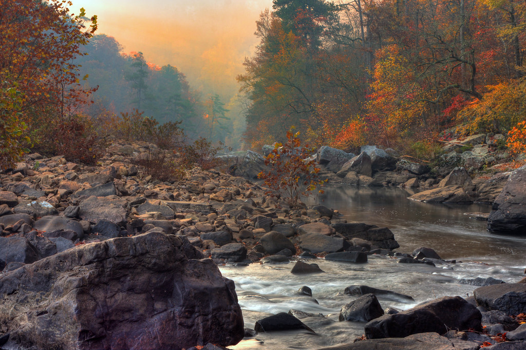
Little River
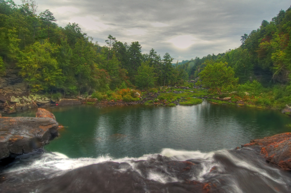
A Waterfall's View

Little River Falls Overlook
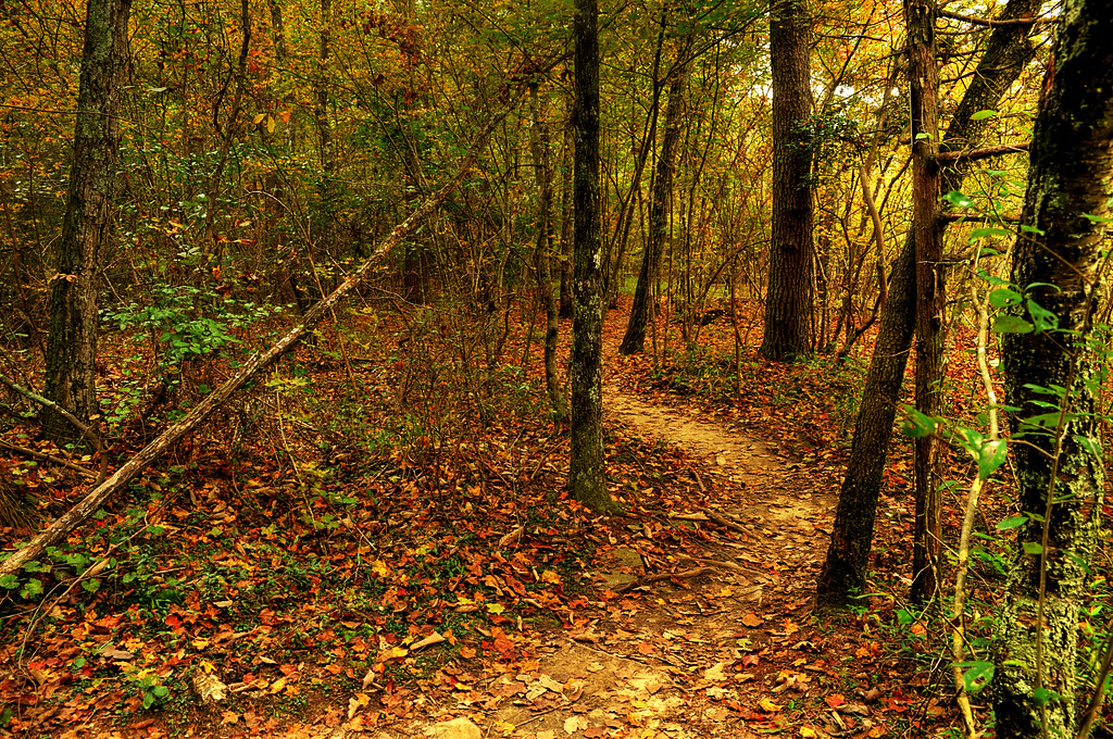
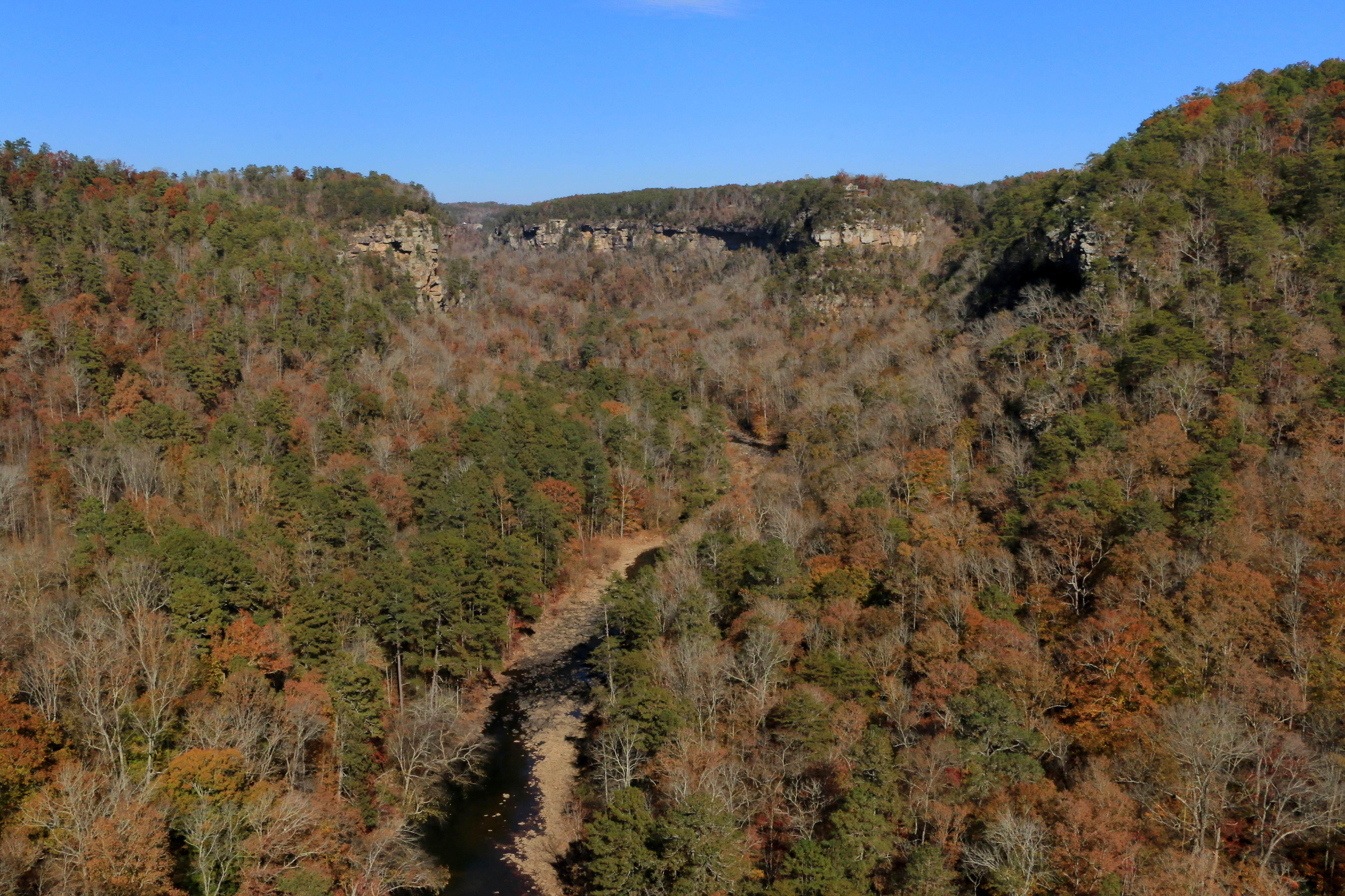
Autumn Path

Bear Creek Canyon
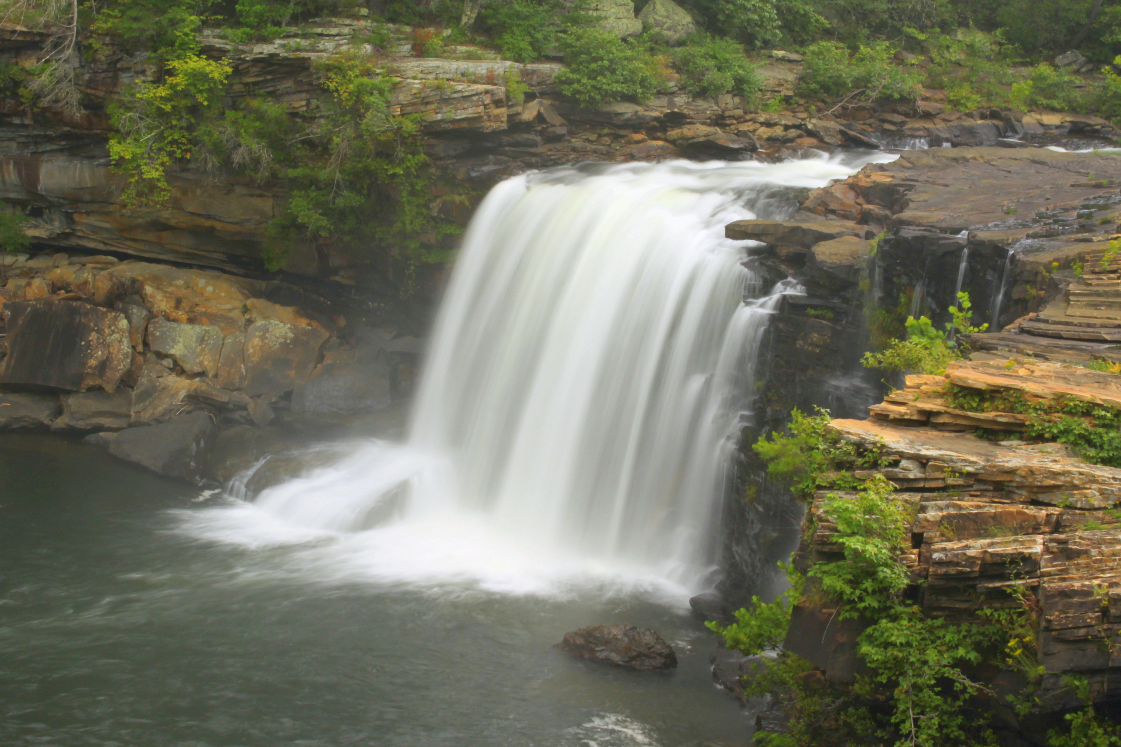
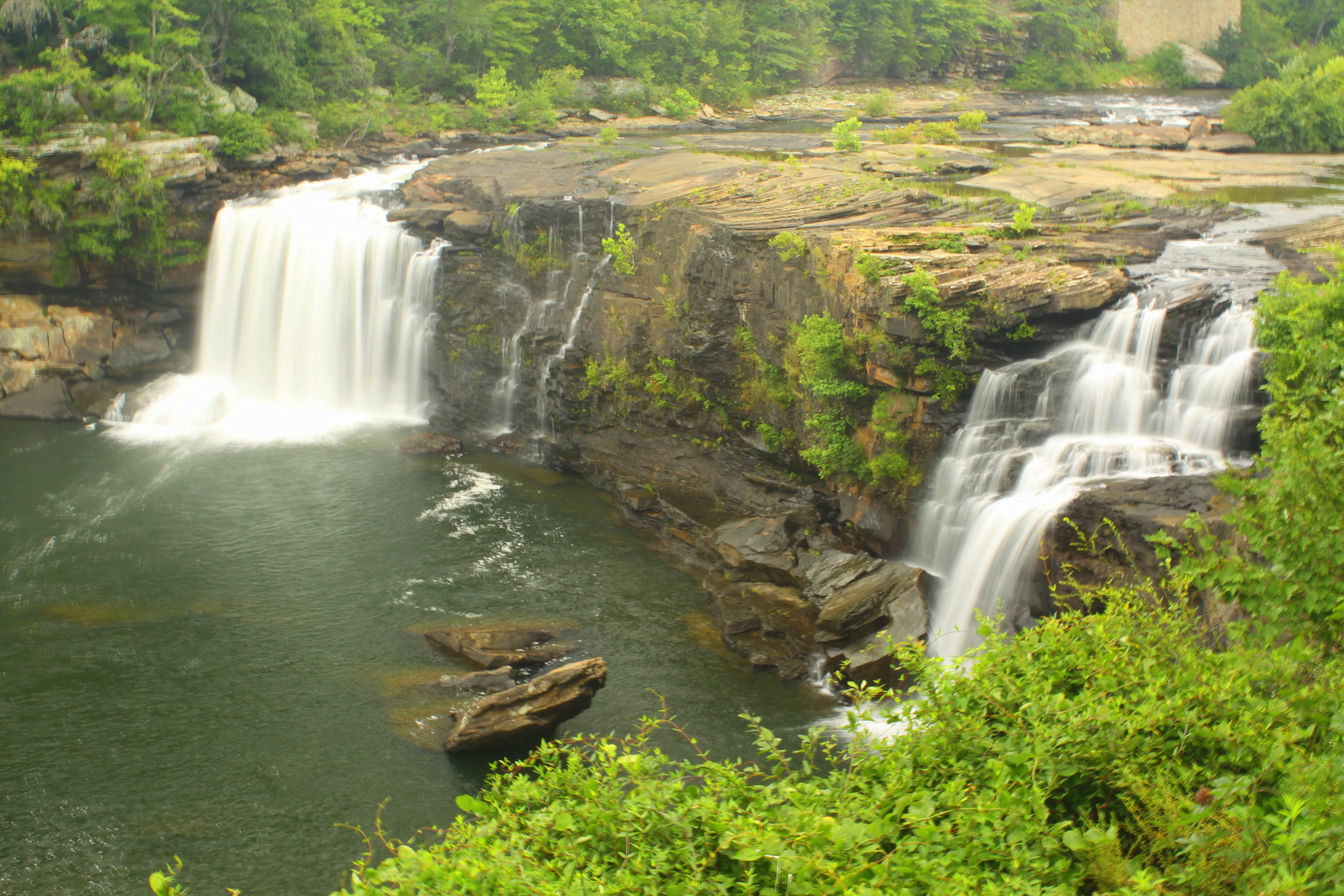
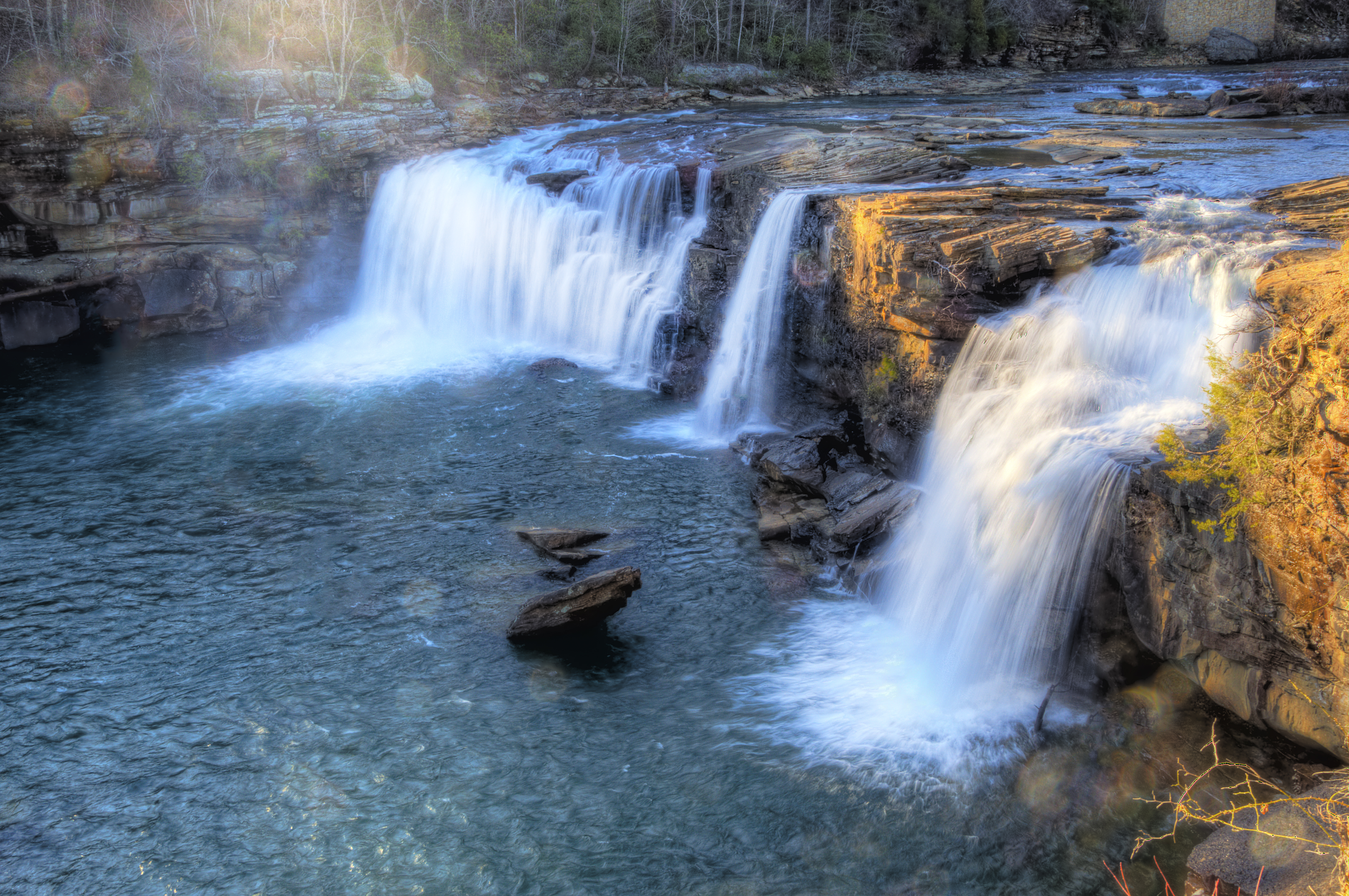
Little River Falls

Little River Falls (from the upstream observation deck)

Little River Falls

A Rock with a View

Little River Falls

Chair With A View, Oil Painting

Sketch_Alabama The Beautiful
Crest of the Falls
Little River Falls
Little River Canyon, Little River Canyon National Preserve, DeKalb and Cherokee Counties, Alabama 1
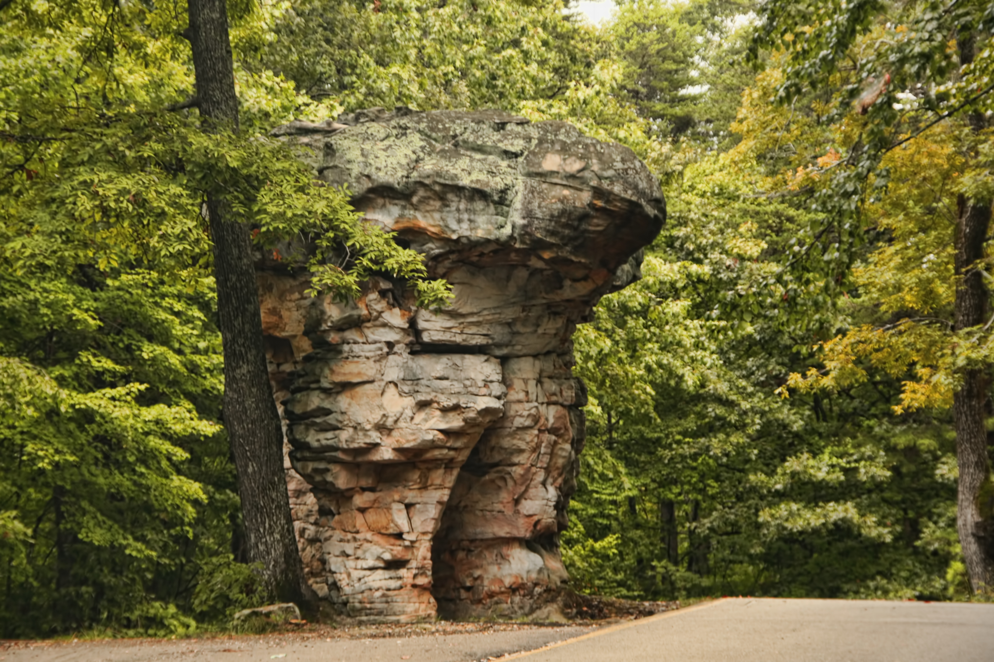
Mushroom Rock, Little River Canyon National Preserve, Alabama, USA.
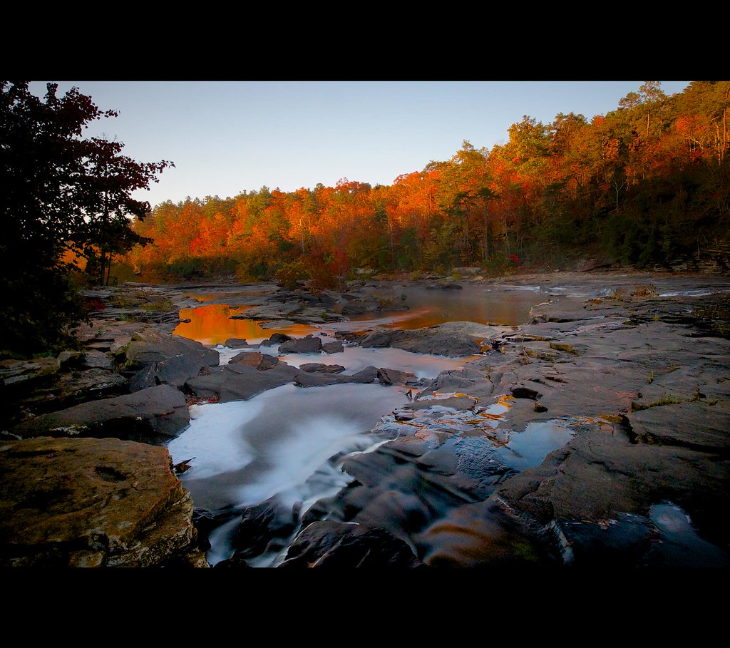
Little River Reflections and the Shooter Below the Rocky Knoll
Little River Falls
Down River/ Falling Water
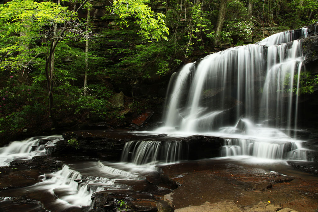
Upper Falls of Gregg's Two Falls
Another of Gregg's Two Falls
Light at the End of the Runnel
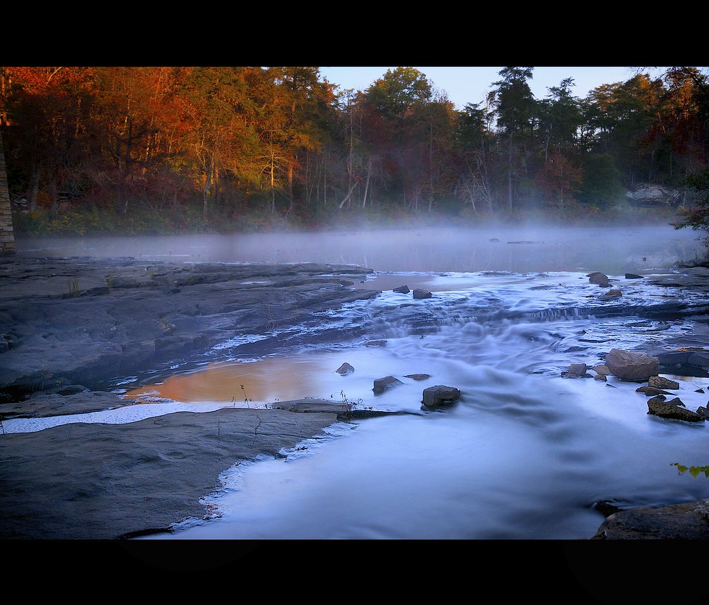
Fog, Falling Water, and the Rising Sun
Little River Falls, Alabama

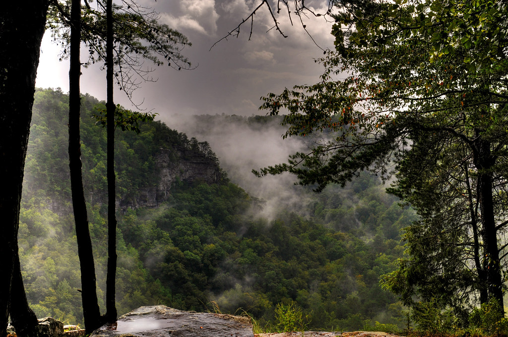
Little River Canyon National Preserve, Dekalb County, Alabama
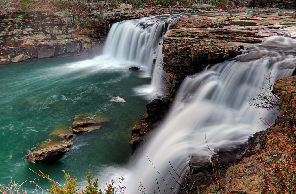
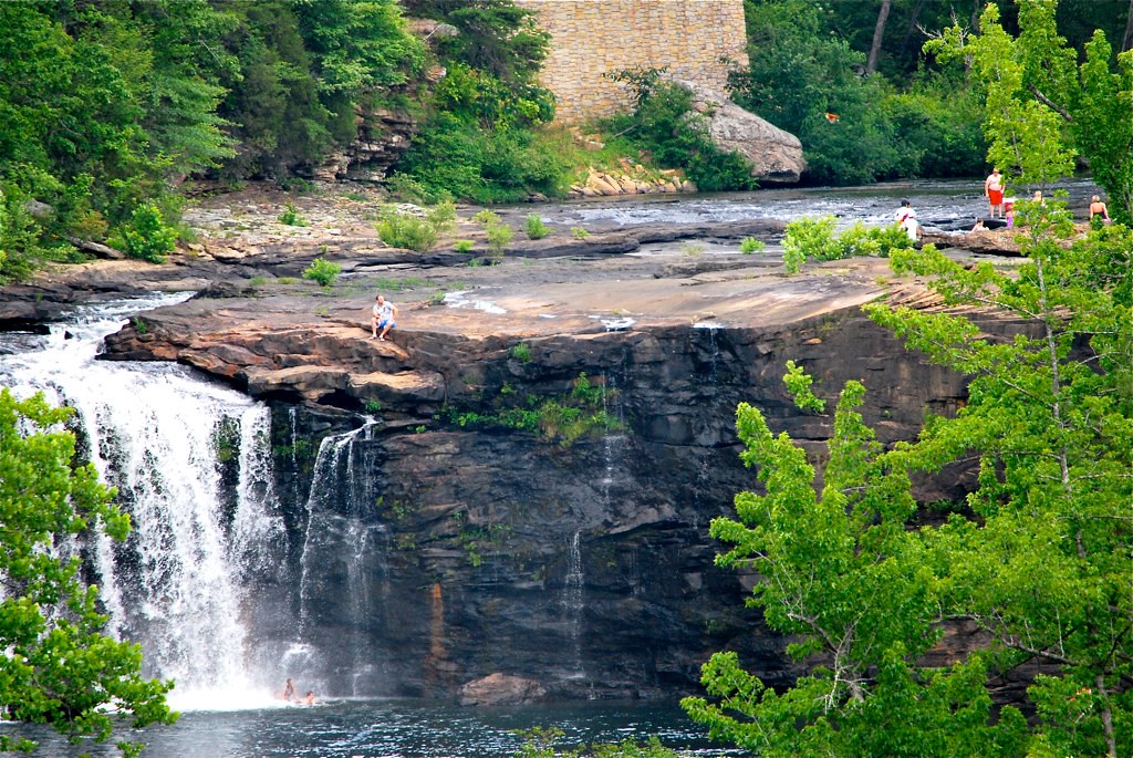
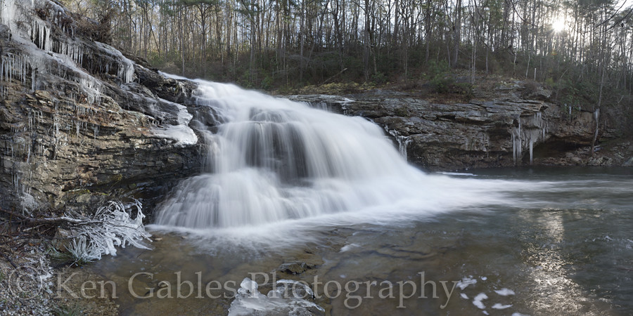
Lower Little River Falls
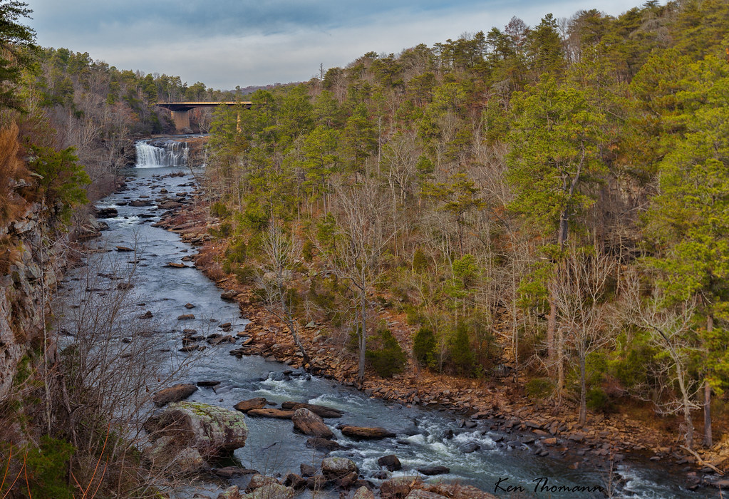
Little River Canyon
Little River Falls
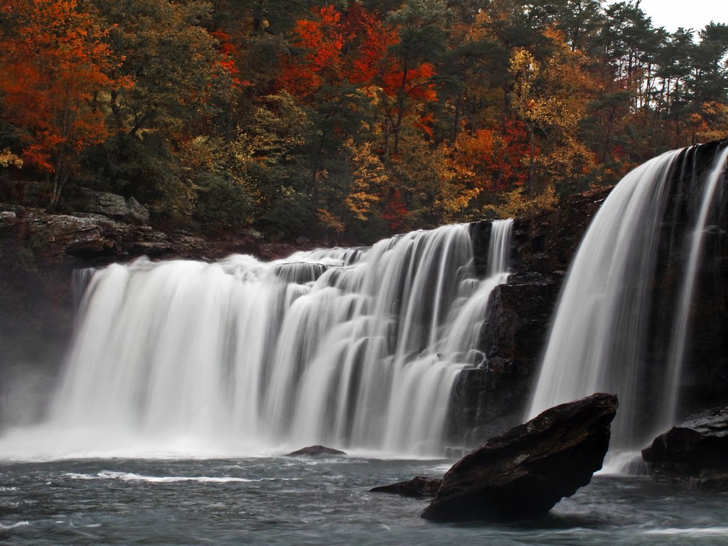
Little River Falls

Tresspasser's Delight
On Deaf Ears

Johnnies Creek Falls
The Mill Hole on Johnnie's Creek, Cherokee County, Alabama
Little River Falls
Topographic Map of Gaylesville, AL, USA
Find elevation by address:

Places in Gaylesville, AL, USA:
Cherokee County 97, Gaylesville, AL, USA
3469 County Rd 861
AL-, Gaylesville, AL, USA
County Rd 15, Gaylesville, AL, USA
3665 County Rd 89
91 Cherokee County 46, Gaylesville, AL, USA
Cherokee County, Gaylesville, AL, USA
3469 County Rd 865
Cherokee County 41, Gaylesville, AL, USA
Cherokee County 80, Gaylesville, AL, USA
Cherokee County 41, Gaylesville, AL, USA
County Rd 15, Gaylesville, AL, USA
3331 County Rd 861
Cherokee County 99, Gaylesville, AL, USA
Cherokee County 99, Gaylesville, AL, USA
AL-, Gaylesville, AL, USA
Places near Gaylesville, AL, USA:
Cherokee County, Gaylesville, AL, USA
County Rd, Cedar Bluff, AL, USA
County Road 642
Cherokee County, Cedar Bluff, AL, USA
Cedar Bluff
AL-9, Cedar Bluff, AL, USA
600 County Rd 767
County Road 1022
2609 Savannah Dr
County Rd, Cedar Bluff, AL, USA
Cherokee County 22, Centre, AL, USA
County Road 546
Cherokee County, Cedar Bluff, AL, USA
Cherokee County, Centre, AL, USA
County Rd, Centre, AL, USA
Cherokee County 22, Centre, AL, USA
Cherokee County 22, Centre, AL, USA
600 Cherokee County 531
Cherokee County 22, Centre, AL, USA
Cherokee County 40, Centre, AL, USA
Recent Searches:
- Elevation map of Greenland, Greenland
- Elevation of Sullivan Hill, New York, New York, 10002, USA
- Elevation of Morehead Road, Withrow Downs, Charlotte, Mecklenburg County, North Carolina, 28262, USA
- Elevation of 2800, Morehead Road, Withrow Downs, Charlotte, Mecklenburg County, North Carolina, 28262, USA
- Elevation of Yangbi Yi Autonomous County, Yunnan, China
- Elevation of Pingpo, Yangbi Yi Autonomous County, Yunnan, China
- Elevation of Mount Malong, Pingpo, Yangbi Yi Autonomous County, Yunnan, China
- Elevation map of Yongping County, Yunnan, China
- Elevation of North 8th Street, Palatka, Putnam County, Florida, 32177, USA
- Elevation of 107, Big Apple Road, East Palatka, Putnam County, Florida, 32131, USA
- Elevation of Jiezi, Chongzhou City, Sichuan, China
- Elevation of Chongzhou City, Sichuan, China
- Elevation of Huaiyuan, Chongzhou City, Sichuan, China
- Elevation of Qingxia, Chengdu, Sichuan, China
- Elevation of Corso Fratelli Cairoli, 35, Macerata MC, Italy
- Elevation of Tallevast Rd, Sarasota, FL, USA
- Elevation of 4th St E, Sonoma, CA, USA
- Elevation of Black Hollow Rd, Pennsdale, PA, USA
- Elevation of Oakland Ave, Williamsport, PA, USA
- Elevation of Pedrógão Grande, Portugal