Elevation of AL-9, Cedar Bluff, AL, USA
Location: United States > Alabama > Cherokee County > Cedar Bluff >
Longitude: -85.484604
Latitude: 34.2491067
Elevation: 206m / 676feet
Barometric Pressure: 99KPa
Elevation Map:
Satellite Map:
Related Photos:
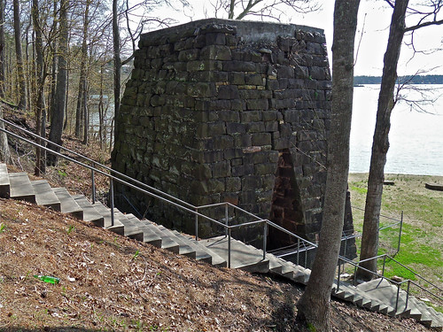
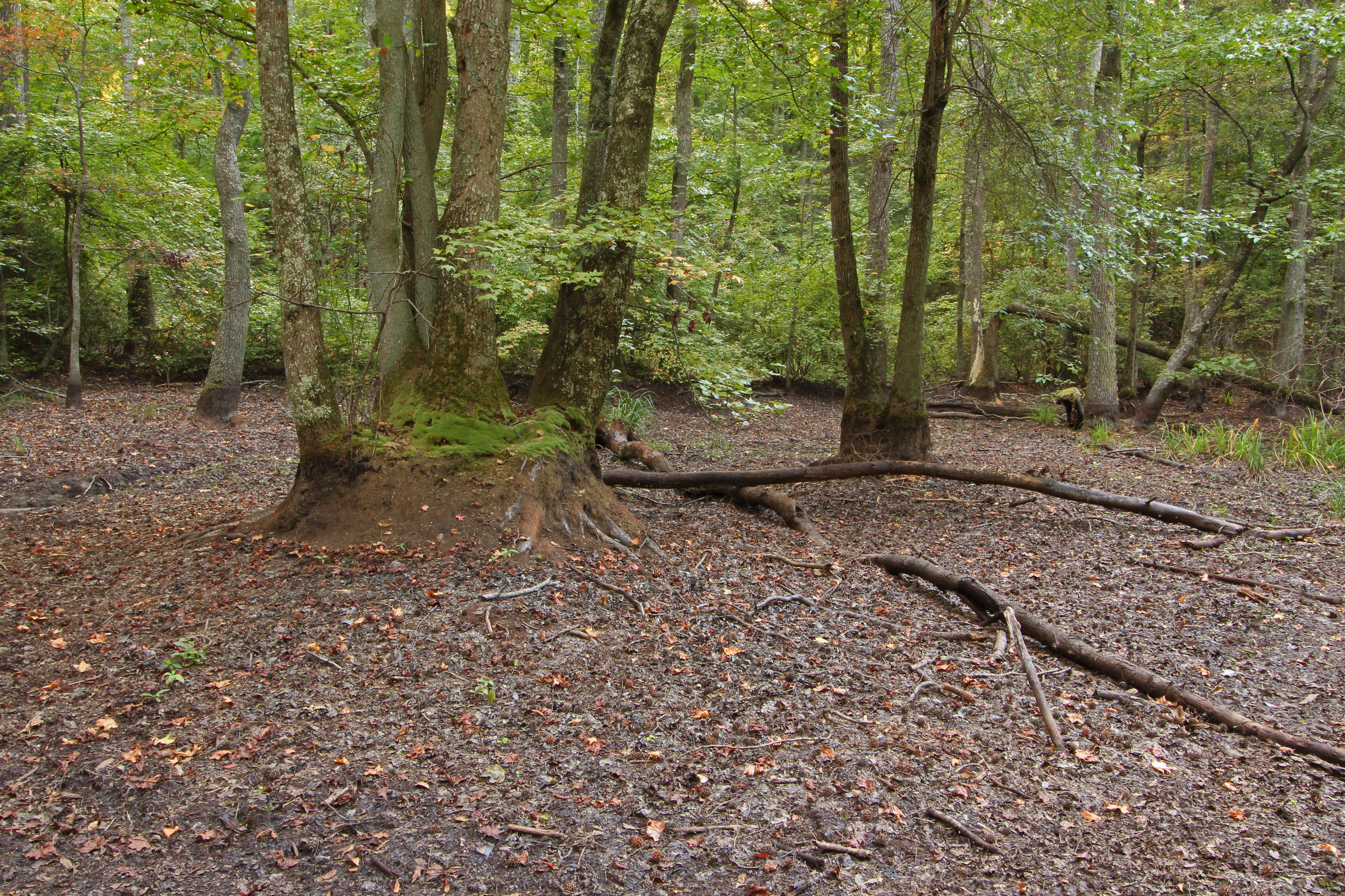
Cornwall Furnace I / Cedar Bluff, Alabama
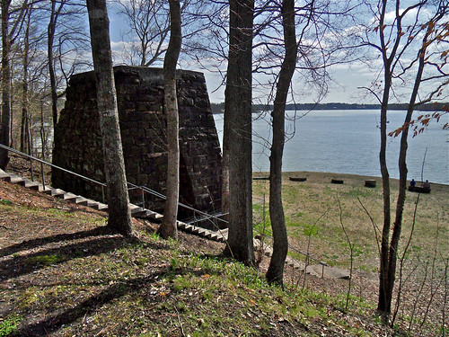
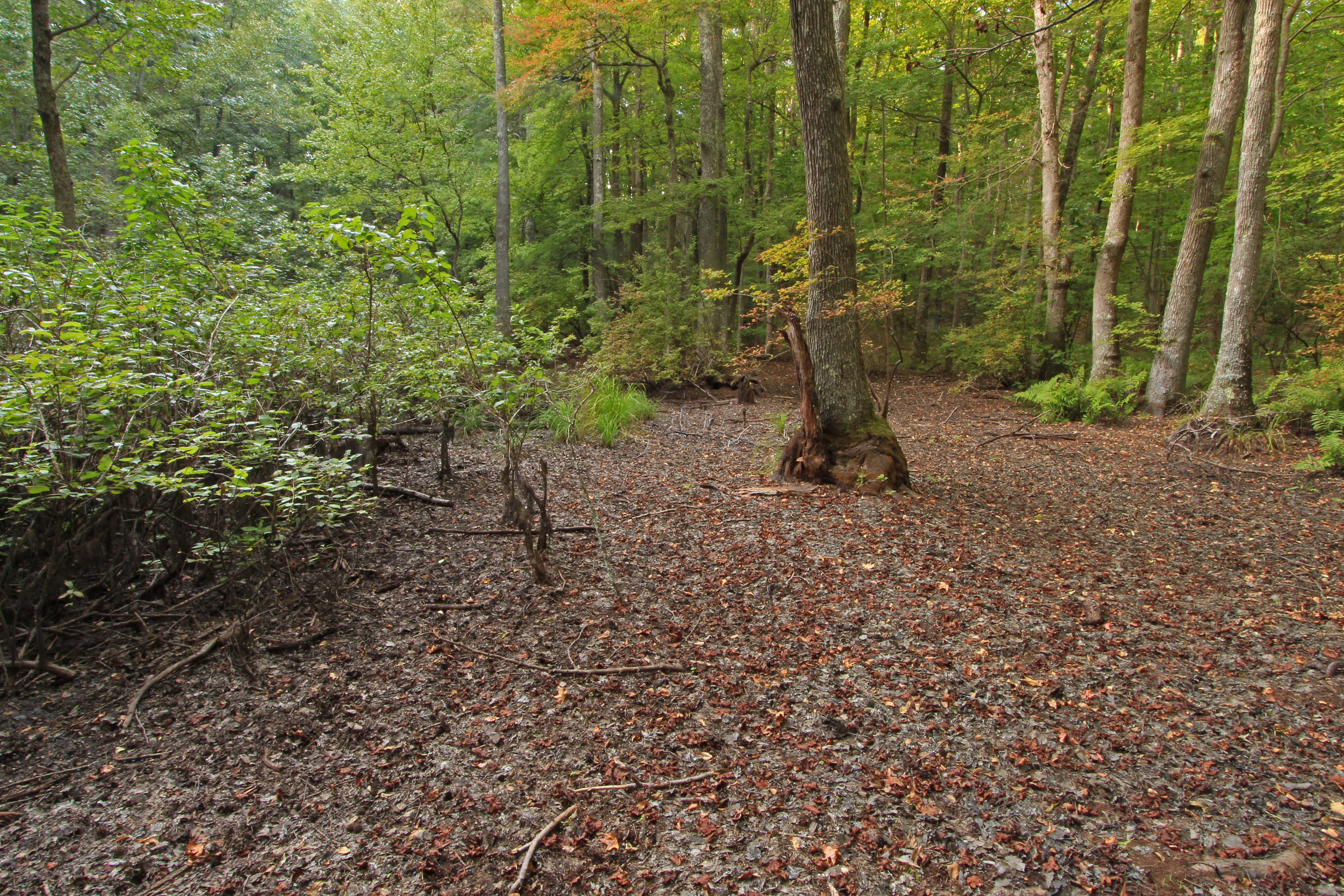
Cornwall Furnace XII / Cedar Bluff, Alabama
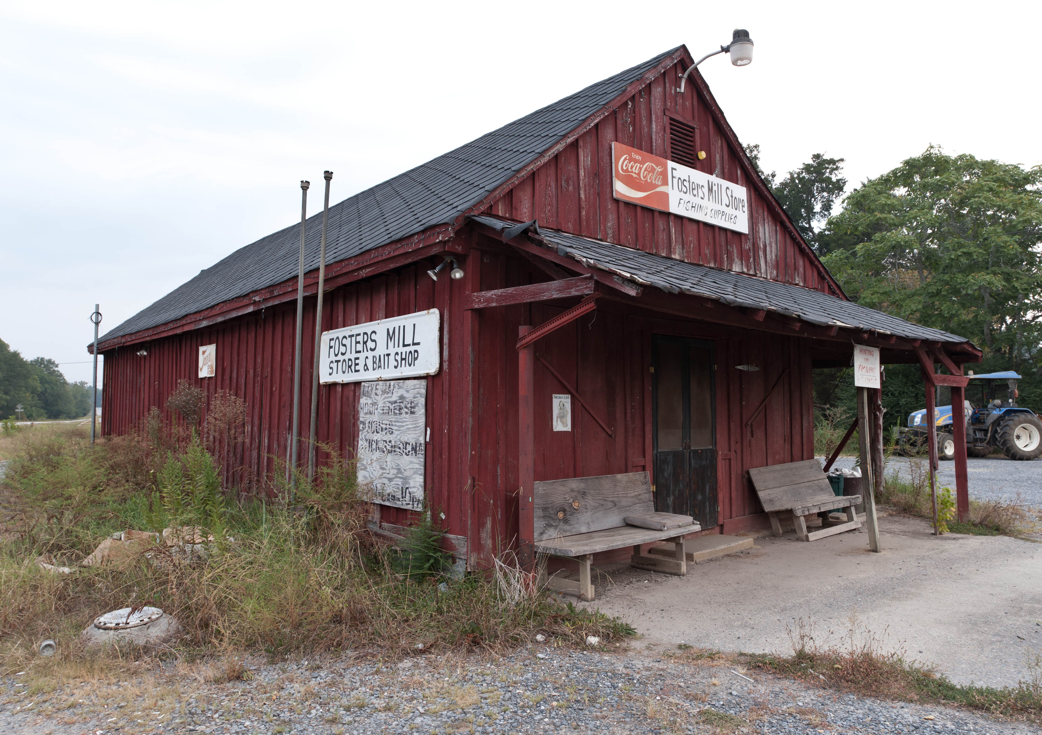
Fishing Supplies
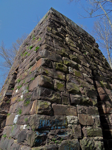
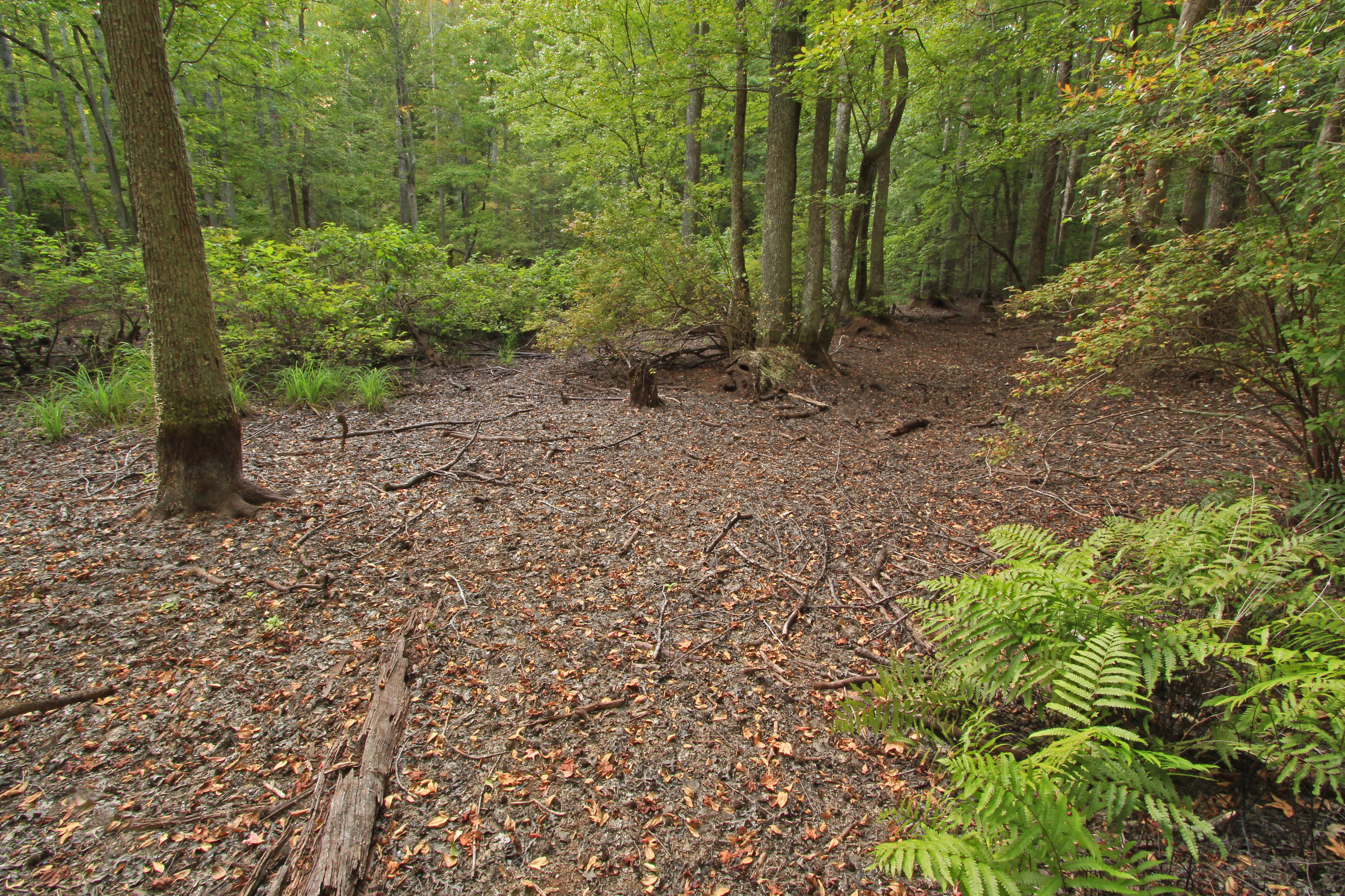
Cornwall Furnace IV / Cedar Bluff, Alabama
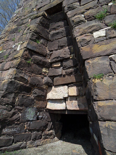
Cornwall Furnace III / Cedar Bluff, Alabama
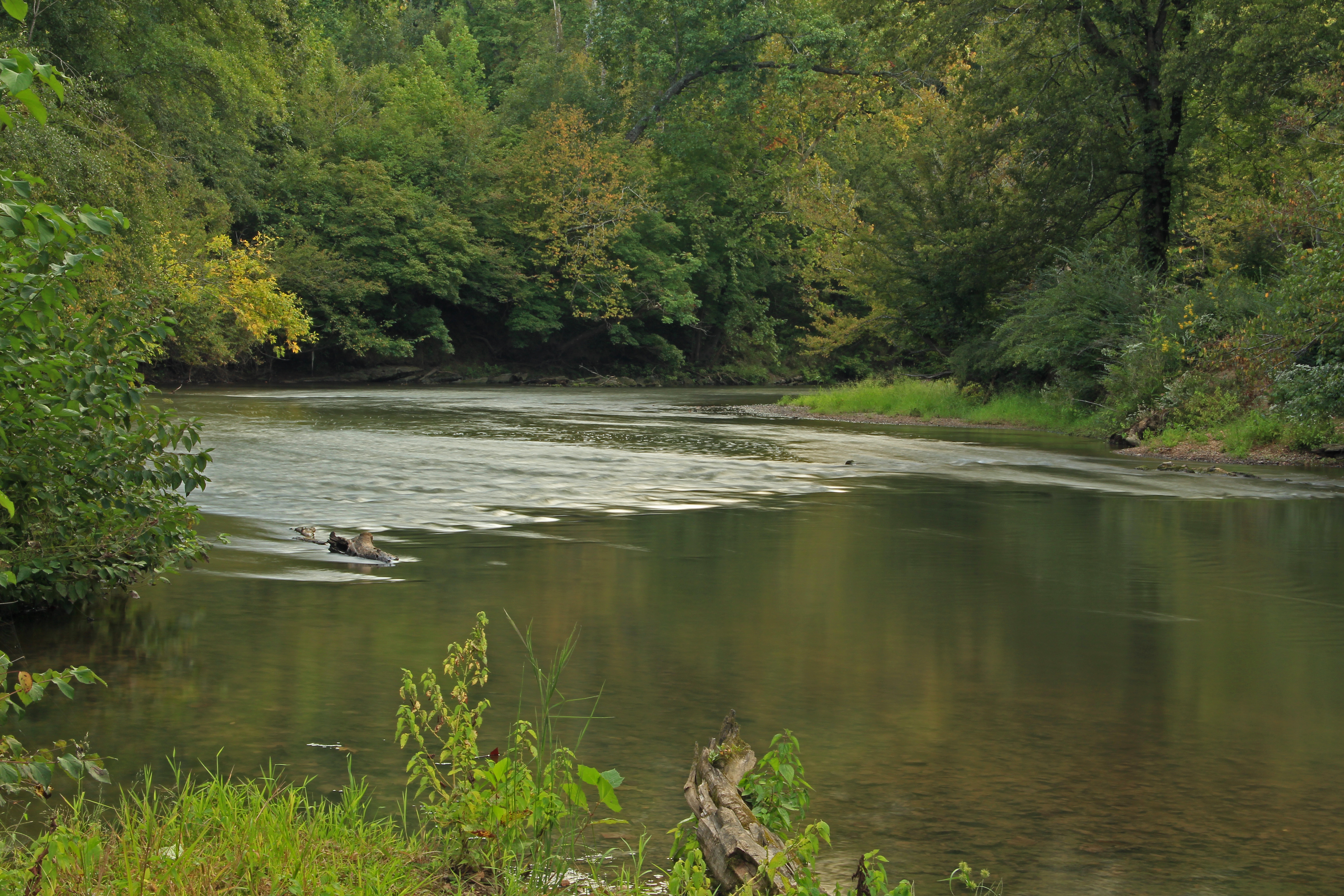
Chattooga River, Chattooga County, Georgia 1
Going Native
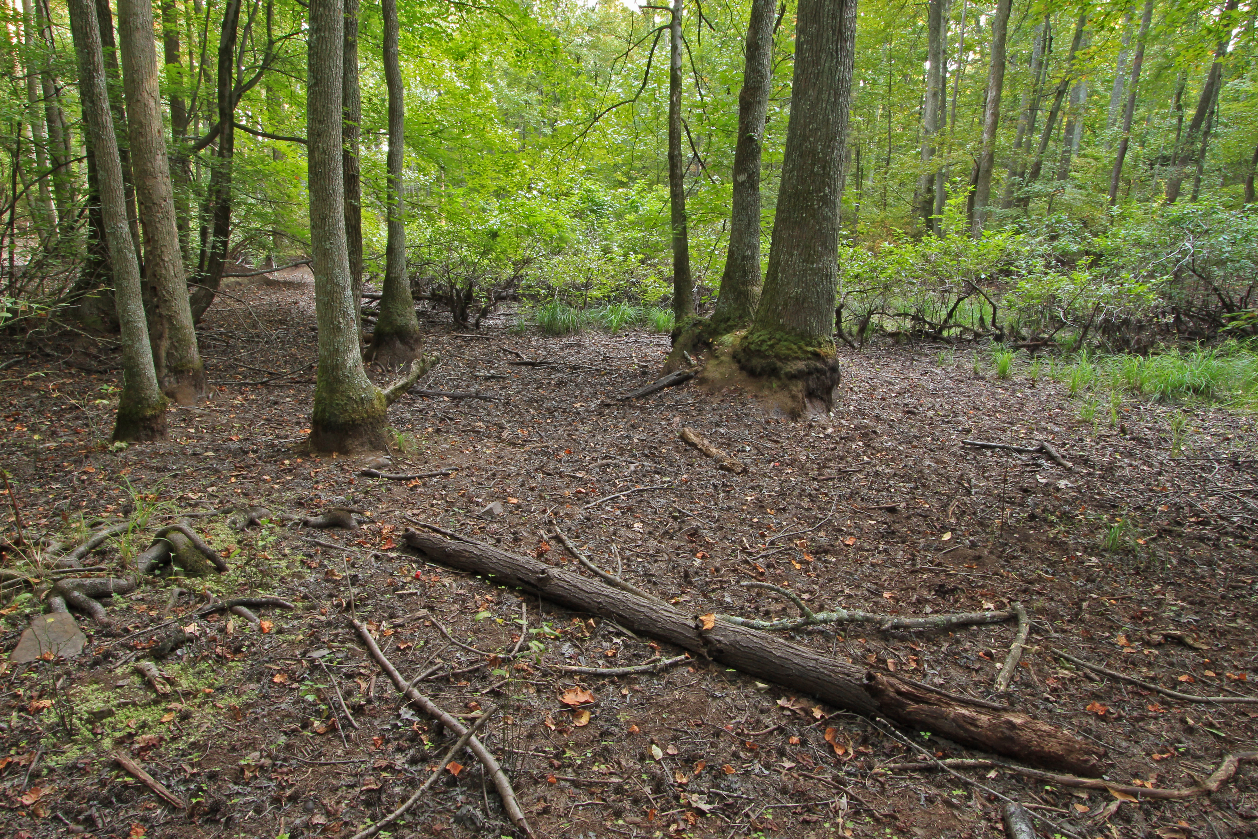
Bakers Pond, Bogan Mountain, Chattooga County, Georgia 1
Bakers Pond, Bogan Mountain, Chattooga County, Georgia 3
Bakers Pond, Bogan Mountain, Chattooga County, Georgia 4
Bakers Pond, Bogan Mountain, Chattooga County, Georgia 5

RR Trestle Over Stream IMG_2621
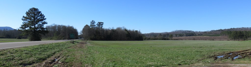
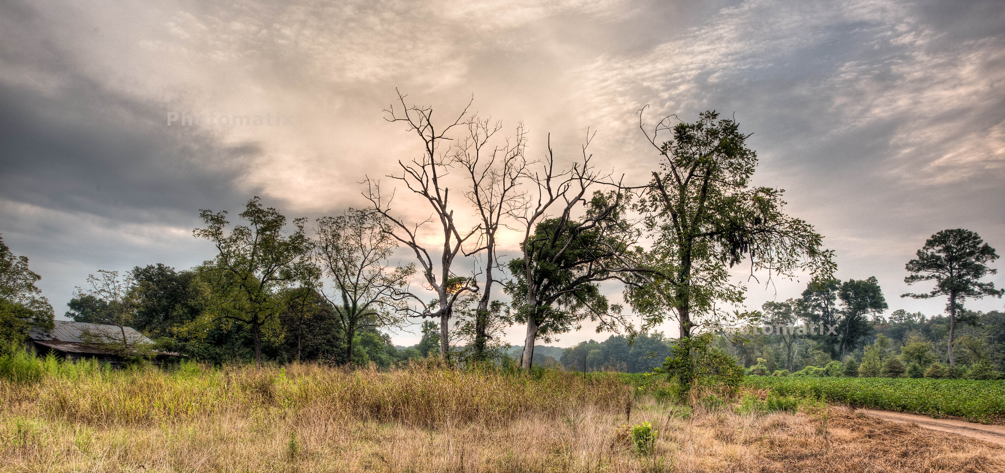
Northeastern Alabama Landscape (Cherokee County, Alabama)
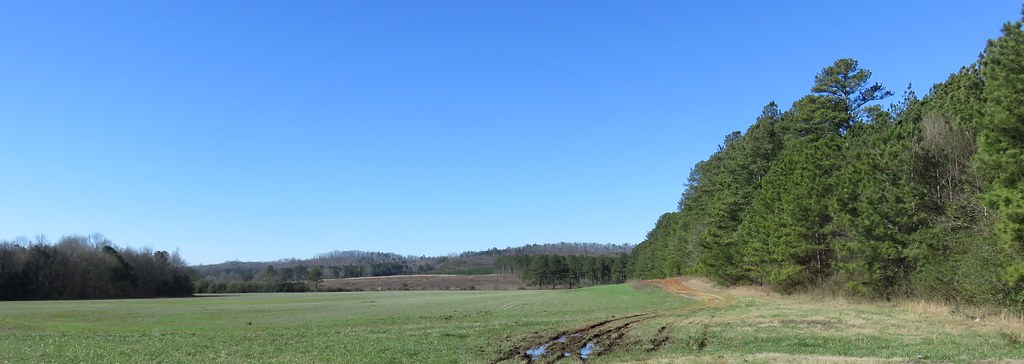
Northeastern Alabama Landscape (Cherokee County, Alabama)
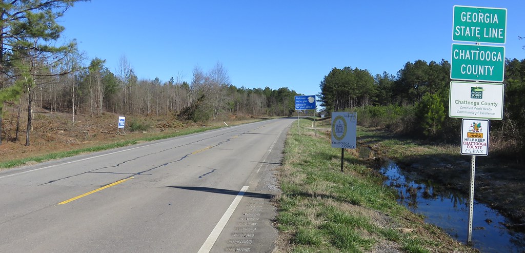
Entering Georgia (Chattooga County, Georgia)

Kudzu and Mountains
Topographic Map of AL-9, Cedar Bluff, AL, USA
Find elevation by address:

Places near AL-9, Cedar Bluff, AL, USA:
County Rd, Cedar Bluff, AL, USA
County Rd, Cedar Bluff, AL, USA
Cherokee County, Cedar Bluff, AL, USA
Cherokee County 22, Centre, AL, USA
County Road 642
Gaylesville
Cherokee County 22, Centre, AL, USA
Cherokee County 22, Centre, AL, USA
Cherokee County, Gaylesville, AL, USA
County Road 546
County Rd 16, Centre, AL, USA
Cedar Bluff
County Rd, Centre, AL, USA
County Rd 16, Centre, AL, USA
Cherokee County 22, Centre, AL, USA
2609 Savannah Dr
Cherokee County, Centre, AL, USA
600 County Rd 767
Cherokee County 40, Centre, AL, USA
County Road 1022
Recent Searches:
- Elevation of Abbey Dr, Virginia Beach, VA, USA
- Elevation of Brooks Lp, Spearfish, SD, USA
- Elevation of Panther Dr, Maggie Valley, NC, USA
- Elevation of Jais St - Wadi Shehah - Ras al Khaimah - United Arab Emirates
- Elevation of Shawnee Avenue, Shawnee Ave, Easton, PA, USA
- Elevation of Scenic Shore Dr, Kingwood Area, TX, USA
- Elevation of W Prive Cir, Delray Beach, FL, USA
- Elevation of S Layton Cir W, Layton, UT, USA
- Elevation of F36W+3M, Mussoorie, Uttarakhand, India
- Elevation of Fairland Ave, Fairhope, AL, USA