Elevation of Cherokee County 22, Centre, AL, USA
Location: United States > Alabama > Cherokee County > Centre >
Longitude: -85.487984
Latitude: 34.1662014
Elevation: 195m / 640feet
Barometric Pressure: 99KPa
Elevation Map:
Satellite Map:
Related Photos:
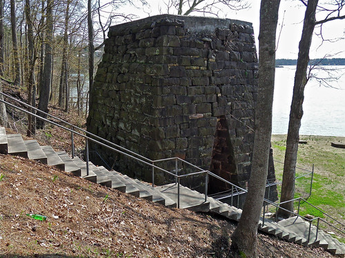
Cornwall Furnace I / Cedar Bluff, Alabama
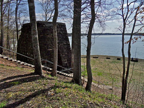
Cornwall Furnace XII / Cedar Bluff, Alabama

Chair With A View, Oil Painting

Sketch_Alabama The Beautiful
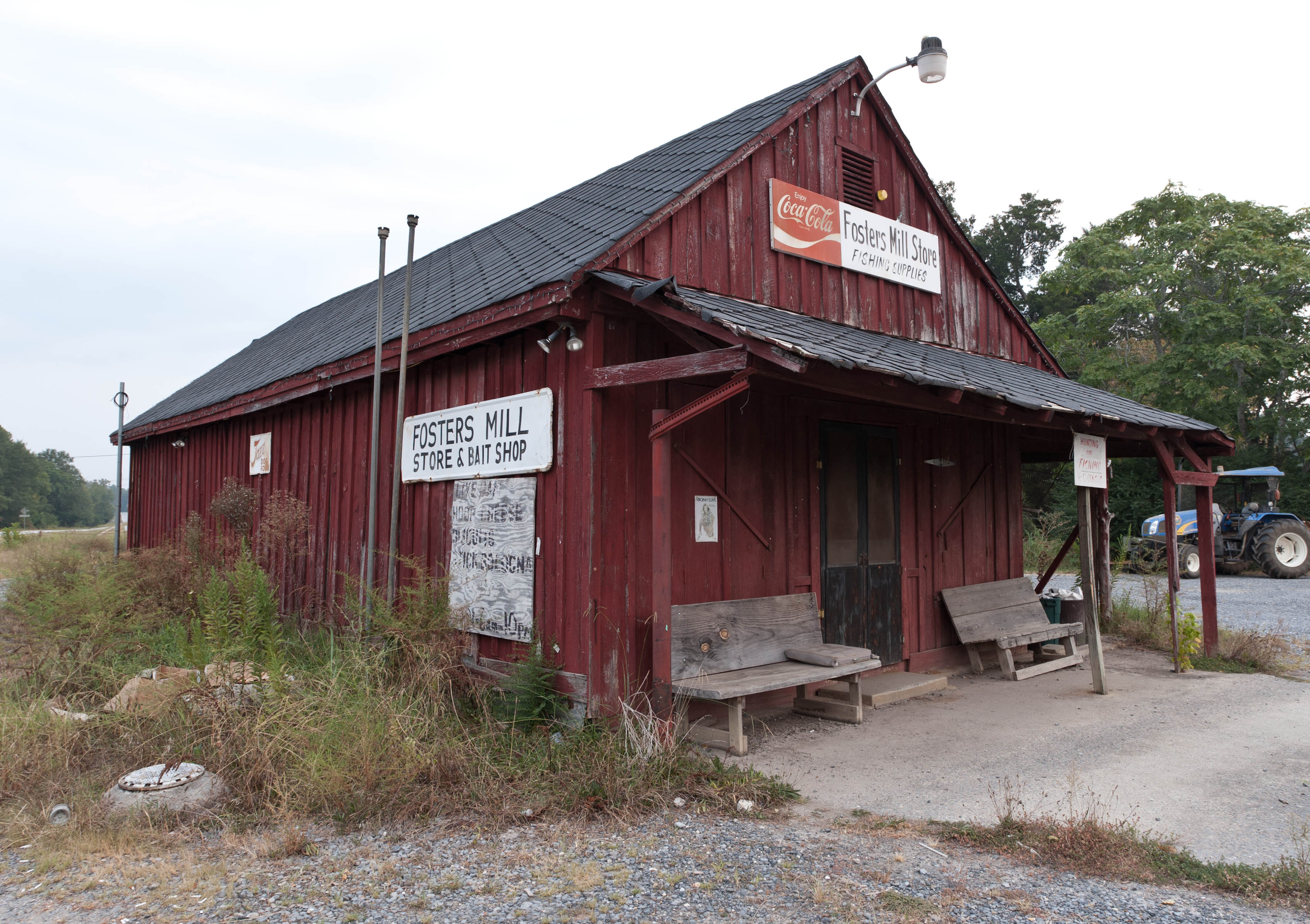
Fishing Supplies
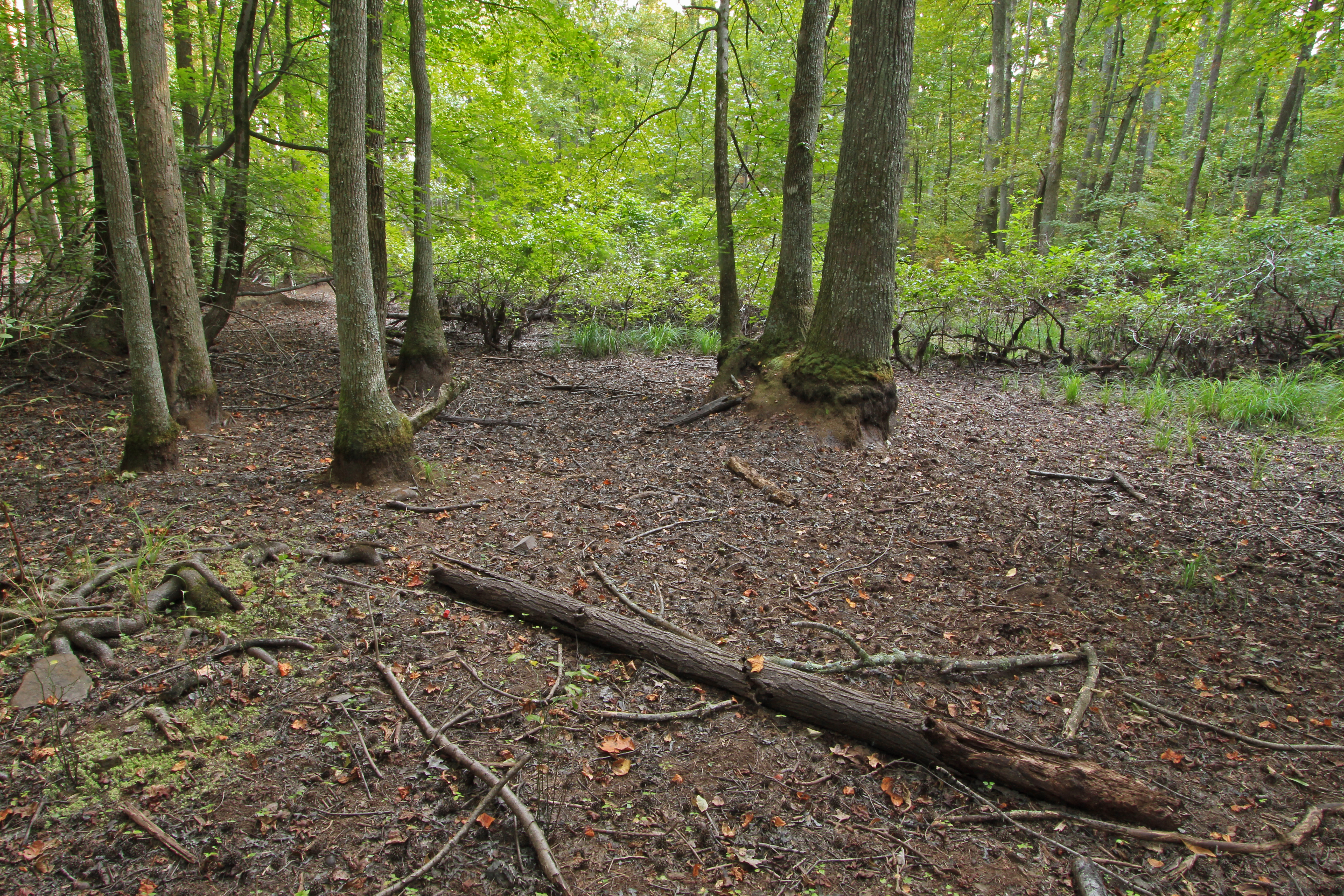
Bakers Pond, Bogan Mountain, Chattooga County, Georgia 1
Bakers Pond, Bogan Mountain, Chattooga County, Georgia 3
Bakers Pond, Bogan Mountain, Chattooga County, Georgia 4
Bakers Pond, Bogan Mountain, Chattooga County, Georgia 5

Kudzu and Mountains
Going Native
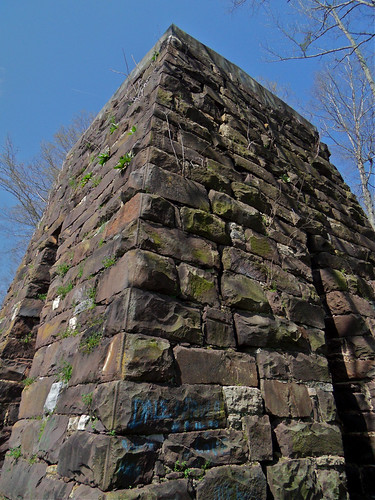
Cornwall Furnace IV / Cedar Bluff, Alabama
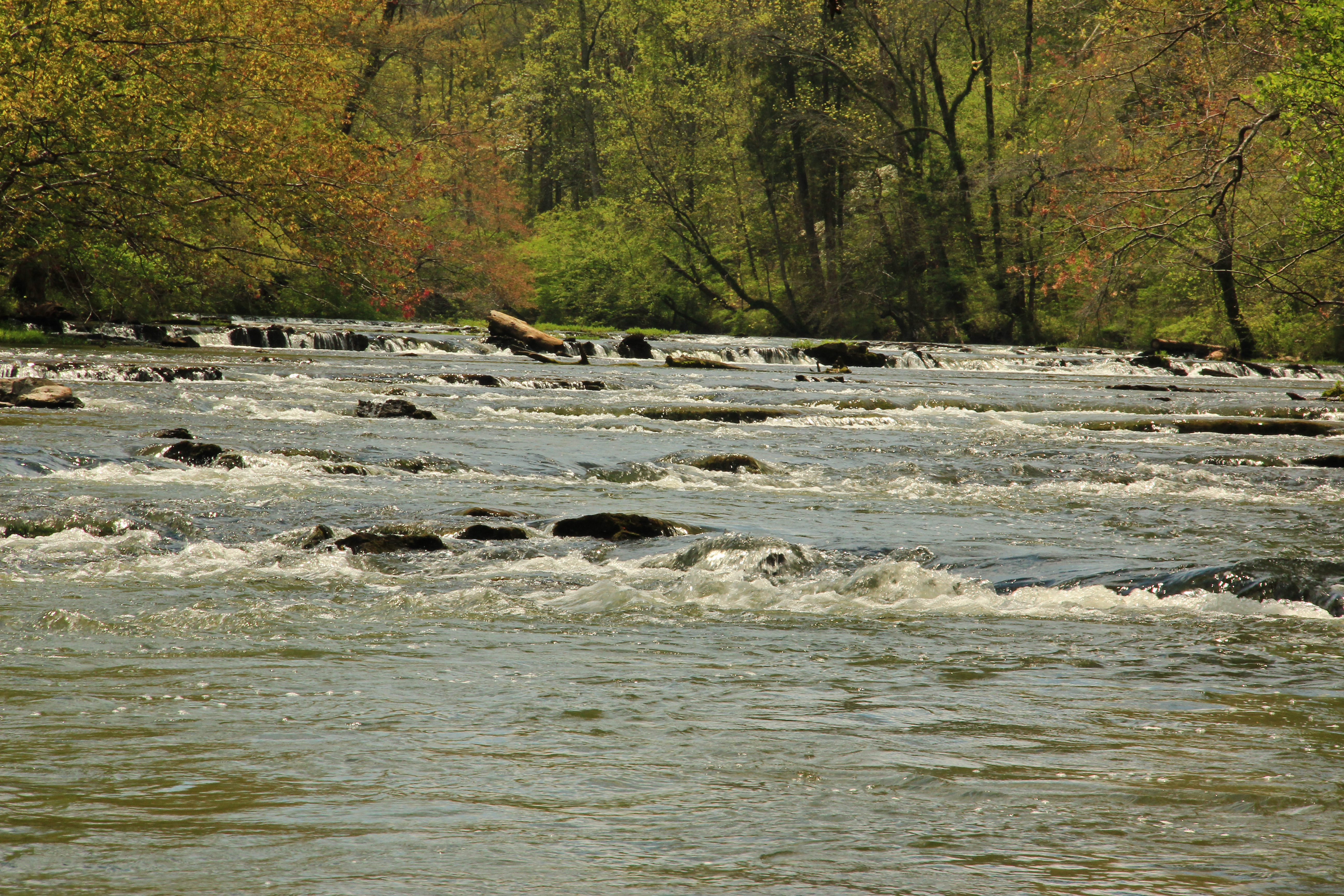
Big Cedar Creek, Floyd County, Georgia 5
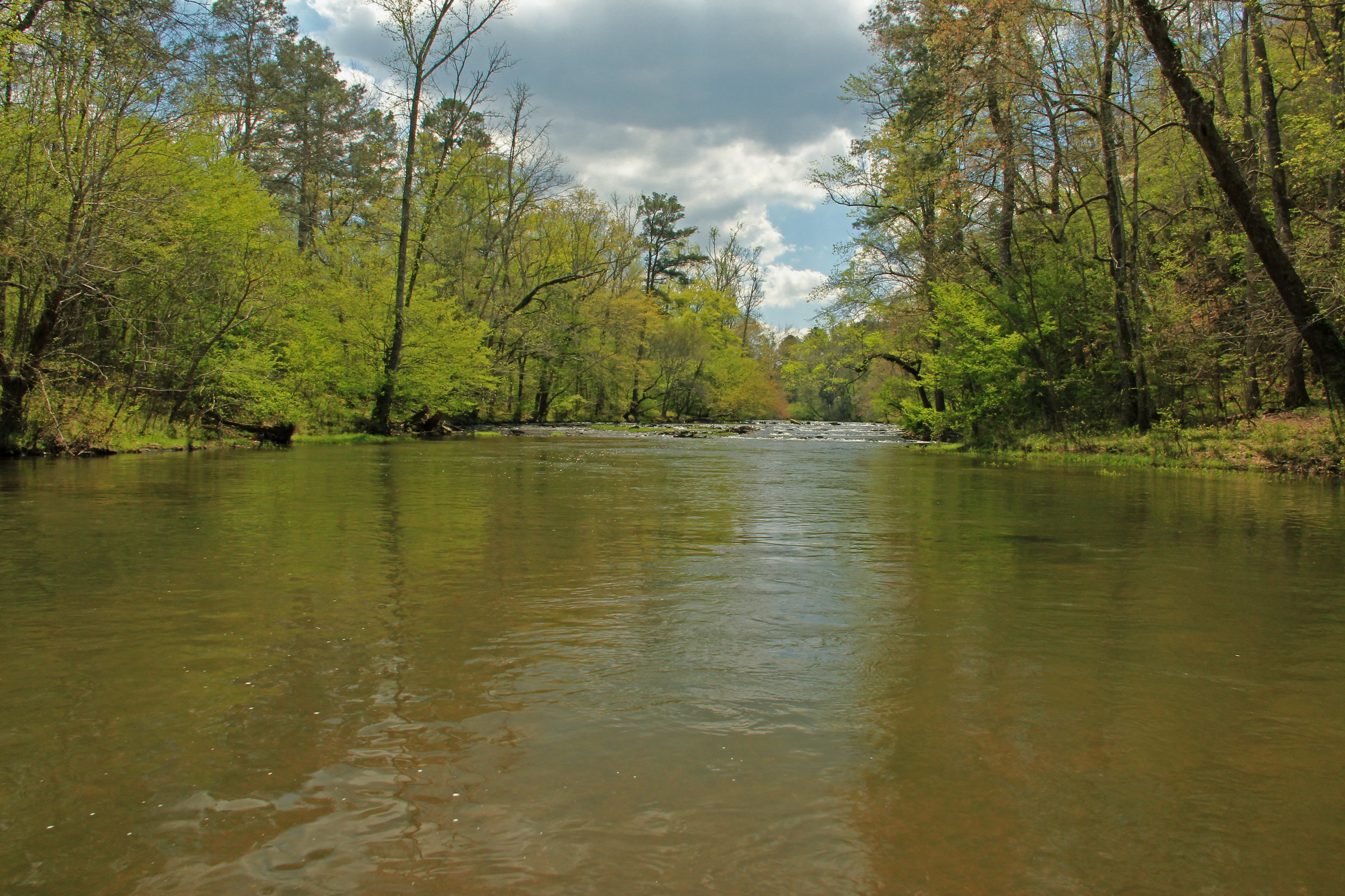
Big Cedar Creek, Floyd County, Georgia 2
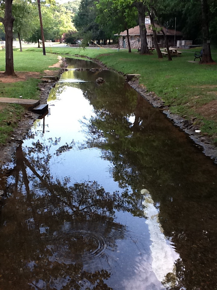
Rolater Park / iPad 2 Camera, August 13, 2011
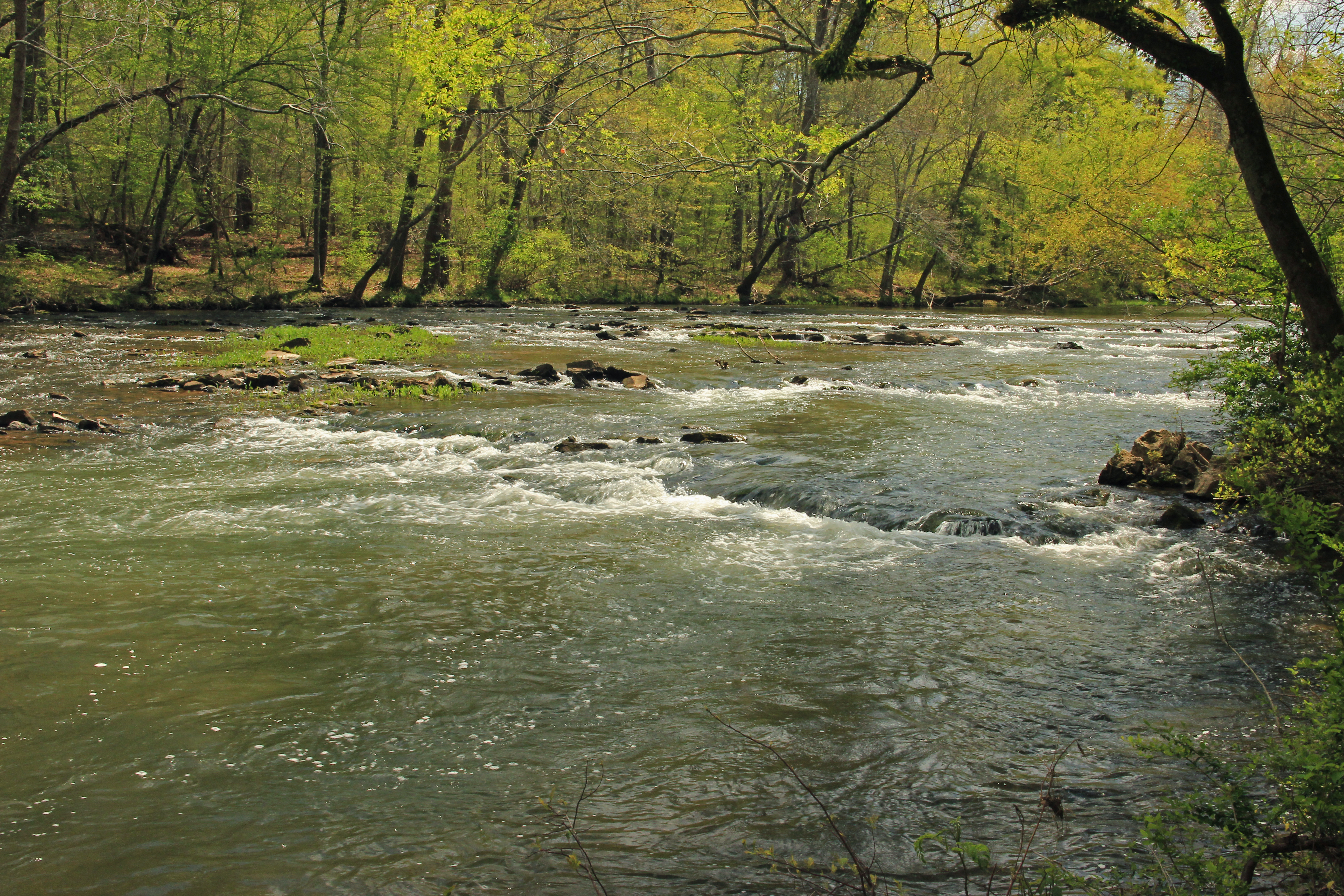
Big Cedar Creek, Floyd County, Georgia 3
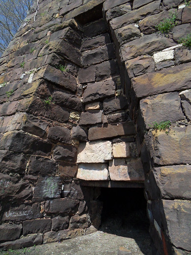
Cornwall Furnace III / Cedar Bluff, Alabama
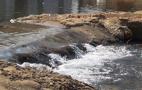
The Dam
Topographic Map of Cherokee County 22, Centre, AL, USA
Find elevation by address:

Places near Cherokee County 22, Centre, AL, USA:
Cherokee County 22, Centre, AL, USA
County Rd 16, Centre, AL, USA
County Rd 16, Centre, AL, USA
Cherokee County 22, Centre, AL, USA
Cherokee County, Cedar Bluff, AL, USA
County Rd, Cedar Bluff, AL, USA
AL-9, Cedar Bluff, AL, USA
County Road 642
Cherokee County 22, Centre, AL, USA
County Rd, Cedar Bluff, AL, USA
County Rd, Centre, AL, USA
County Road 546
US-, Centre, AL, USA
Cherokee County 40, Centre, AL, USA
600 Cherokee County 531
Gaylesville
Cedar Bluff
Cherokee County, Centre, AL, USA
Cherokee County 22, Centre, AL, USA
Cherokee County 83, Centre, AL, USA
Recent Searches:
- Elevation of 7 Waterfall Way, Tomball, TX, USA
- Elevation of SW 57th Ave, Portland, OR, USA
- Elevation of Crocker Dr, Vacaville, CA, USA
- Elevation of Pu Ngaol Community Meeting Hall, HWHM+3X7, Krong Saen Monourom, Cambodia
- Elevation of Royal Ontario Museum, Queens Park, Toronto, ON M5S 2C6, Canada
- Elevation of Groblershoop, South Africa
- Elevation of Power Generation Enterprises | Industrial Diesel Generators, Oak Ave, Canyon Country, CA, USA
- Elevation of Chesaw Rd, Oroville, WA, USA
- Elevation of N, Mt Pleasant, UT, USA
- Elevation of 6 Rue Jules Ferry, Beausoleil, France