Elevation of Cherokee County 22, Centre, AL, USA
Location: United States > Alabama > Cherokee County > Centre >
Longitude: -85.571942
Latitude: 34.1364093
Elevation: 172m / 564feet
Barometric Pressure: 99KPa
Elevation Map:
Satellite Map:
Related Photos:
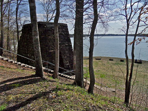
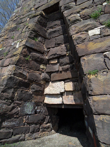
Cornwall Furnace XII / Cedar Bluff, Alabama

Chair With A View, Oil Painting

Sketch_Alabama The Beautiful
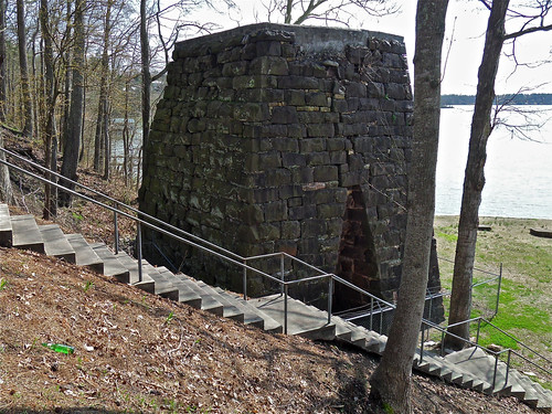
Cornwall Furnace I / Cedar Bluff, Alabama
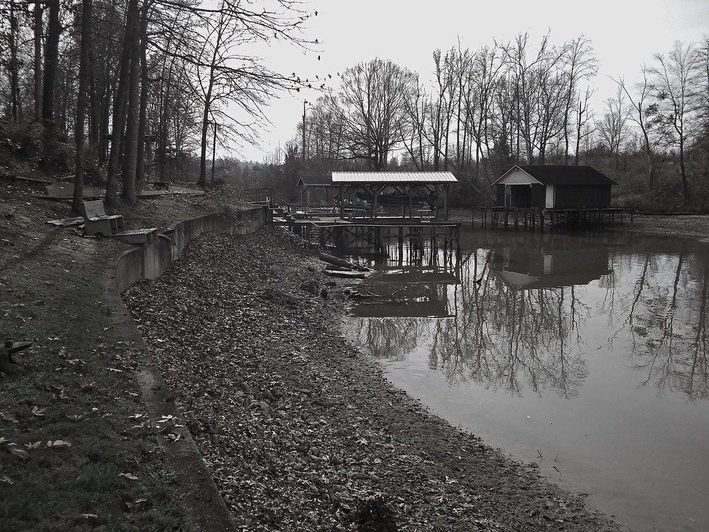
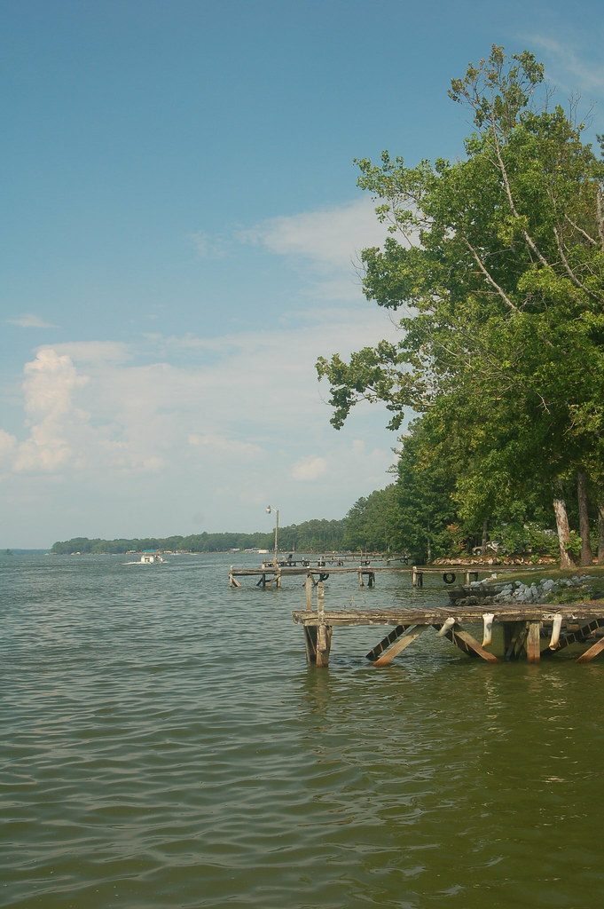
Winter Pool on Weiss Lake / December, 2015
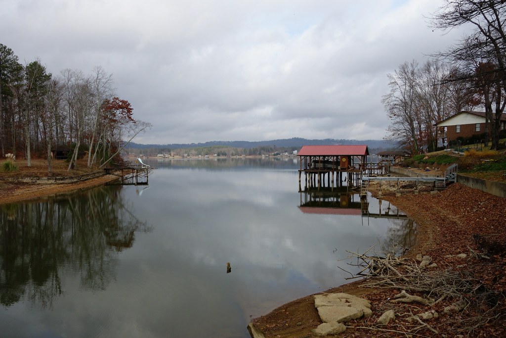
Low Pool at Weiss Lake / Centre, AL - December 9, 2012
Weiss Lake Cove / Centre, AL
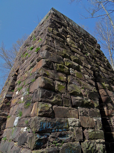
Cornwall Furnace IV / Cedar Bluff, Alabama
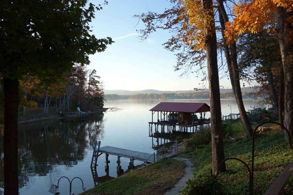
Lake Front
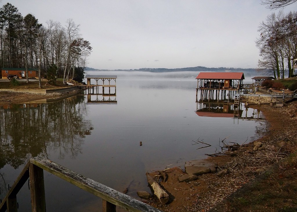
Revisiting the Cove at Winter Pool II
Cornwall Furnace III / Cedar Bluff, Alabama
Topographic Map of Cherokee County 22, Centre, AL, USA
Find elevation by address:

Places near Cherokee County 22, Centre, AL, USA:
Cherokee County 40, Centre, AL, USA
US-, Centre, AL, USA
County Rd, Centre, AL, USA
600 Cherokee County 531
County Road 546
Cherokee County 22, Centre, AL, USA
Cherokee County 83, Centre, AL, USA
5004 County Rd 83
Cherokee County 22, Centre, AL, USA
County Rd 16, Centre, AL, USA
Cherokee County, Centre, AL, USA
Cherokee County 22, Centre, AL, USA
County Road 642
Cedar Bluff
Cherokee County, Cedar Bluff, AL, USA
877 Cedar Bluff Rd
2609 Savannah Dr
2389 Cherokee County 65
2389 Cherokee County 65
County Rd, Cedar Bluff, AL, USA
Recent Searches:
- Elevation of W Granada St, Tampa, FL, USA
- Elevation of Pykes Down, Ivybridge PL21 0BY, UK
- Elevation of Jalan Senandin, Lutong, Miri, Sarawak, Malaysia
- Elevation of Bilohirs'k
- Elevation of 30 Oak Lawn Dr, Barkhamsted, CT, USA
- Elevation of Luther Road, Luther Rd, Auburn, CA, USA
- Elevation of Unnamed Road, Respublika Severnaya Osetiya — Alaniya, Russia
- Elevation of Verkhny Fiagdon, North Ossetia–Alania Republic, Russia
- Elevation of F. Viola Hiway, San Rafael, Bulacan, Philippines
- Elevation of Herbage Dr, Gulfport, MS, USA