Elevation of Garrison, ND, USA
Location: United States > North Dakota > Mclean County >
Longitude: -101.41571
Latitude: 47.6522225
Elevation: 586m / 1923feet
Barometric Pressure: 94KPa
Elevation Map:
Satellite Map:
Related Photos:
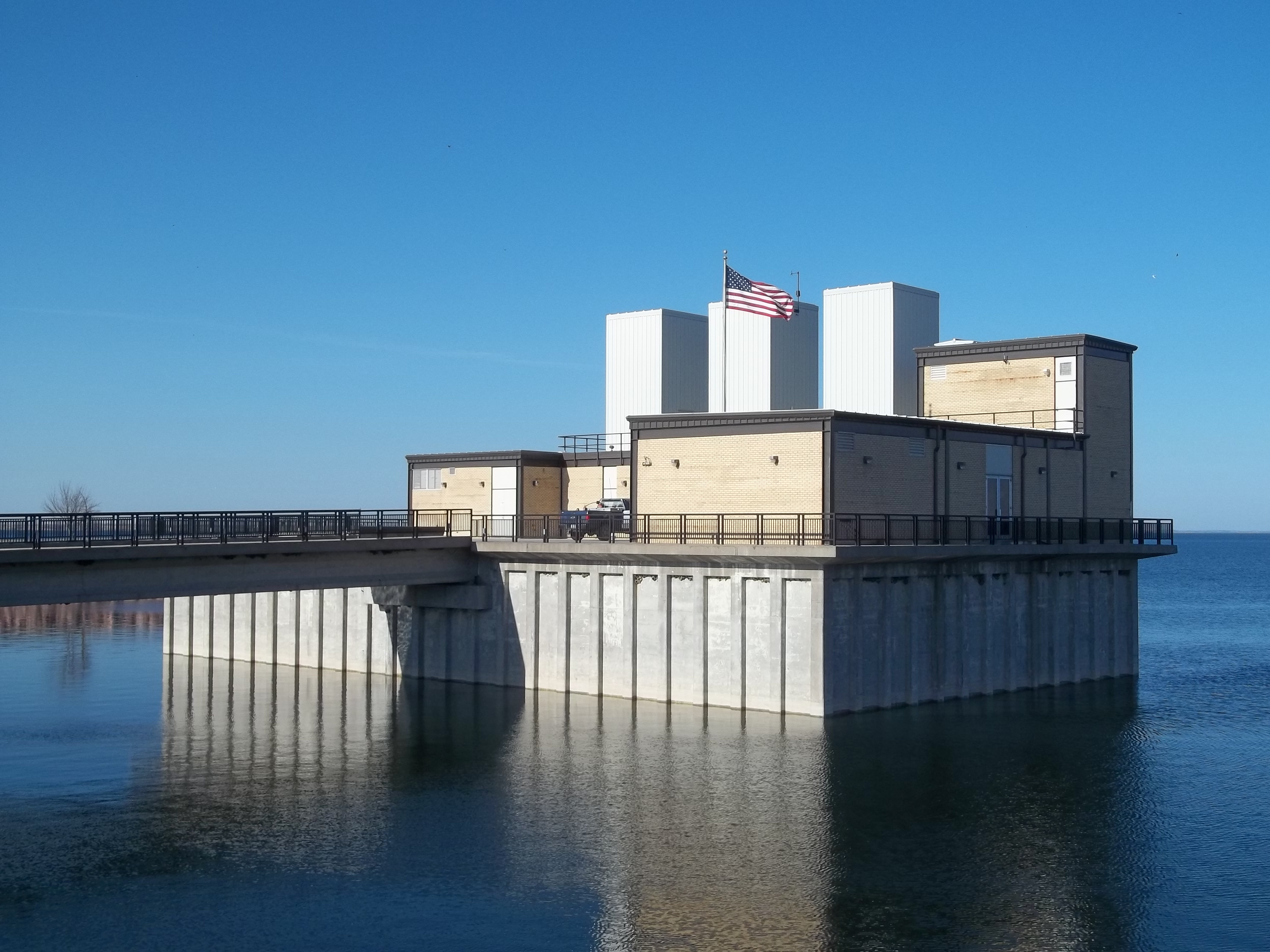
Snake Creek pumping plant, SW view

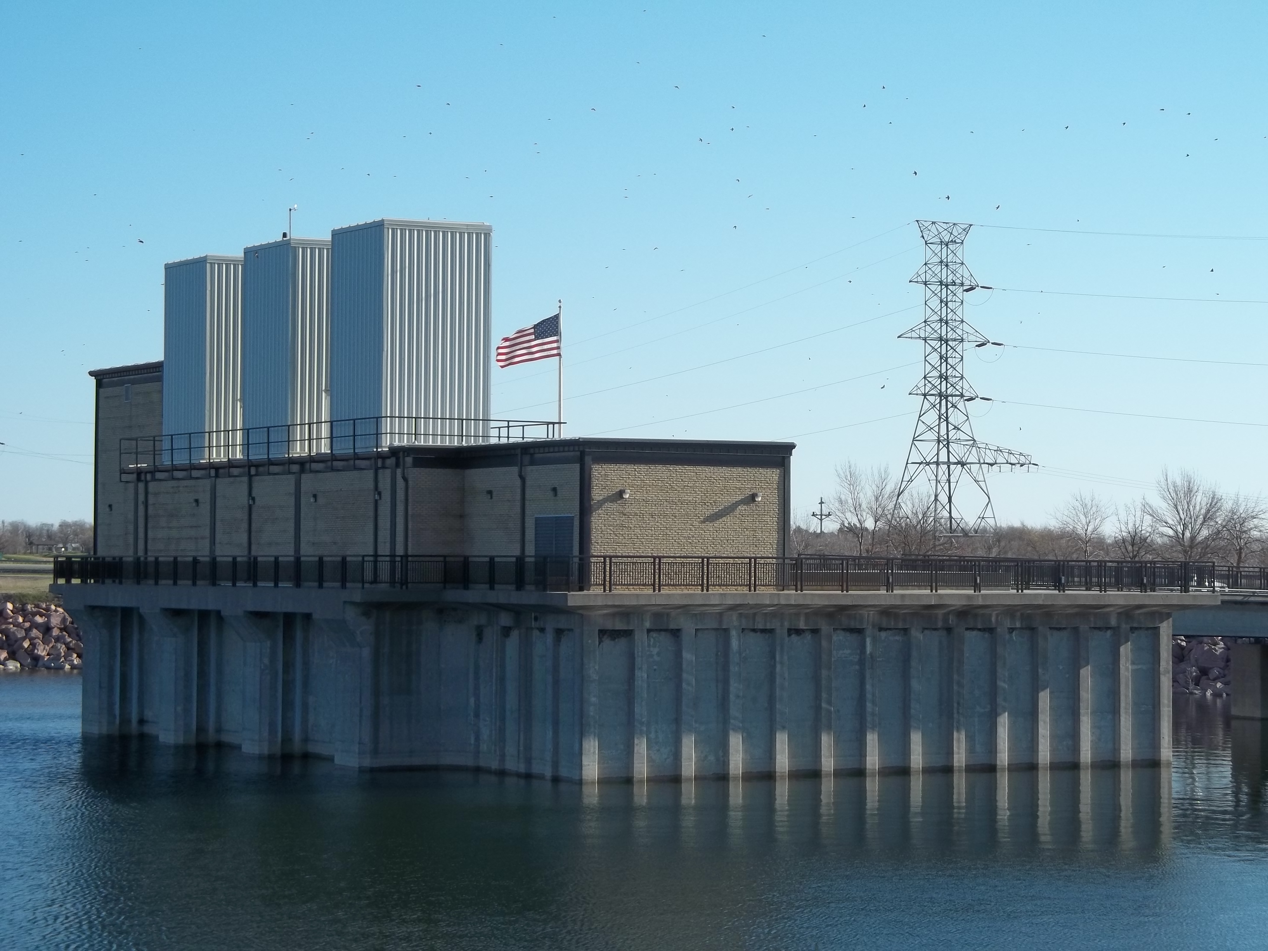
Snake Creek pumping plant, NW view
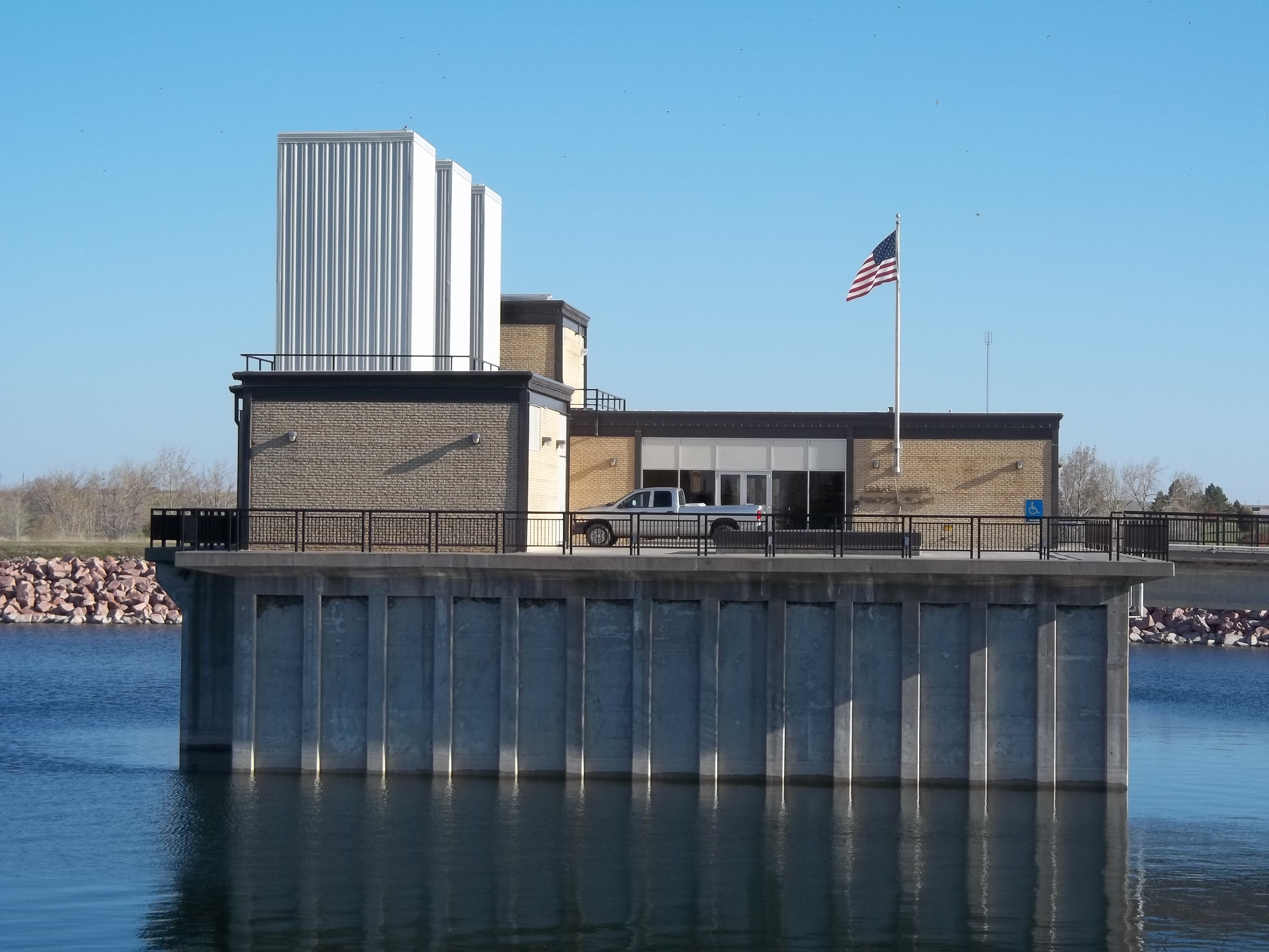
Snake Creek pumping plant, NE view
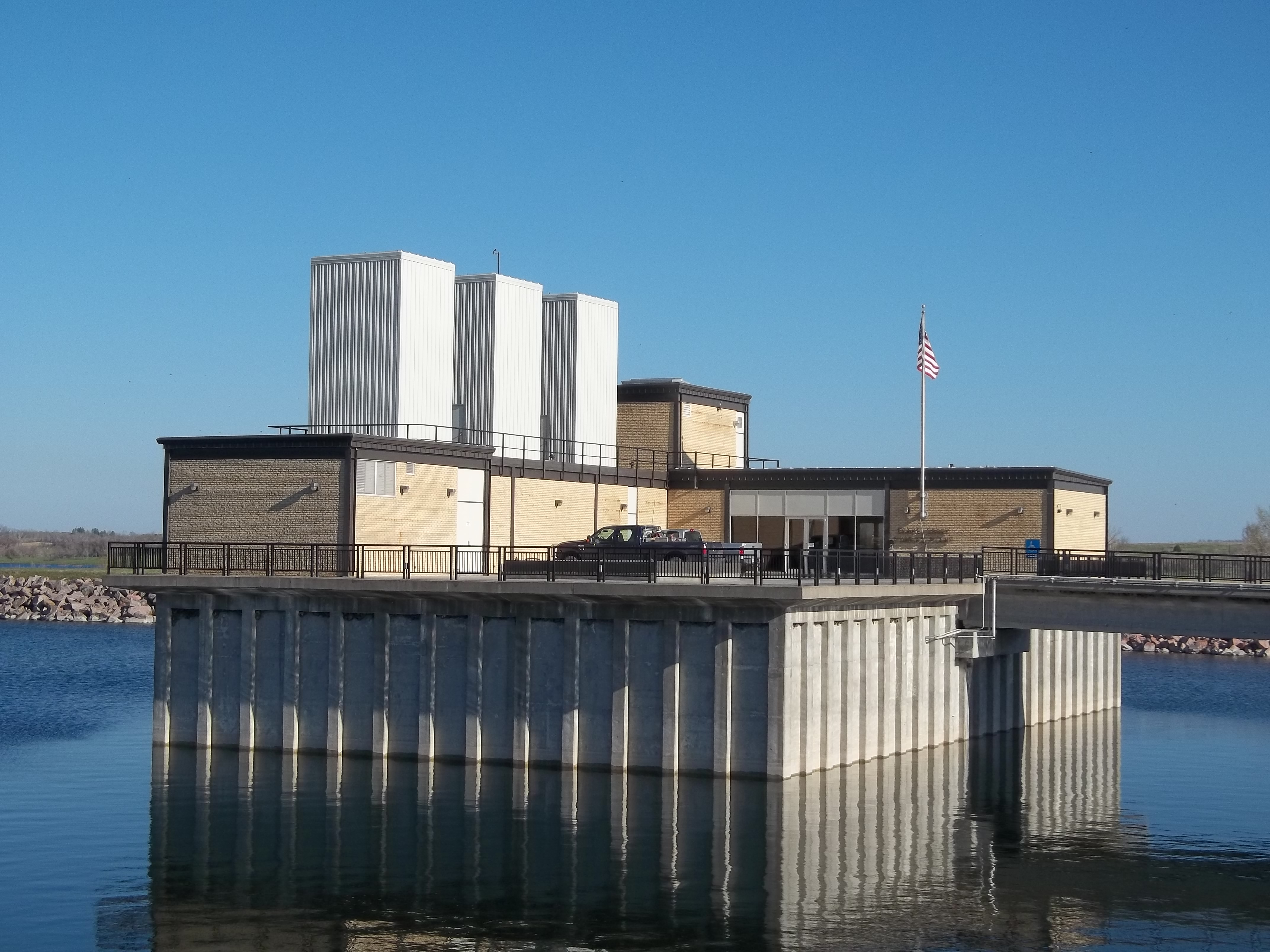
Snake Creek Pumping plant, north view
Snake Creek pumping plant, N-NW view
Charlie’s Lake reflection

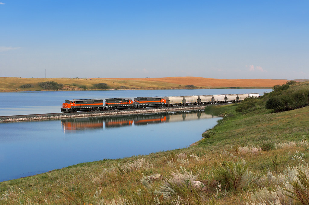
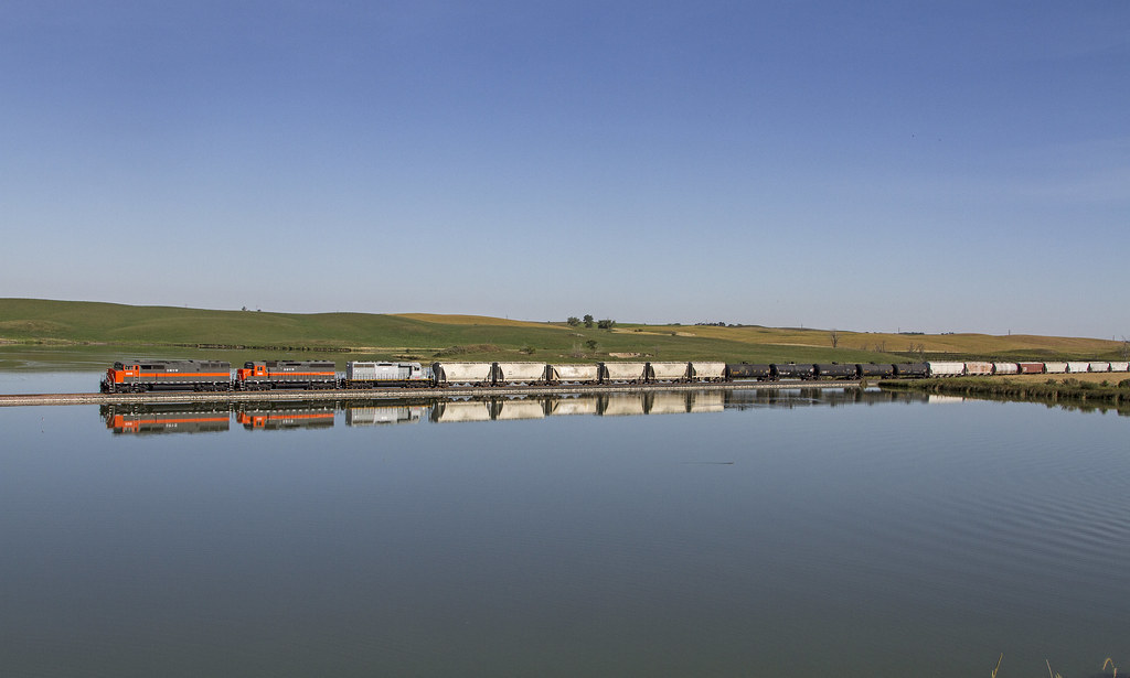
Lake Sakakawea crossing
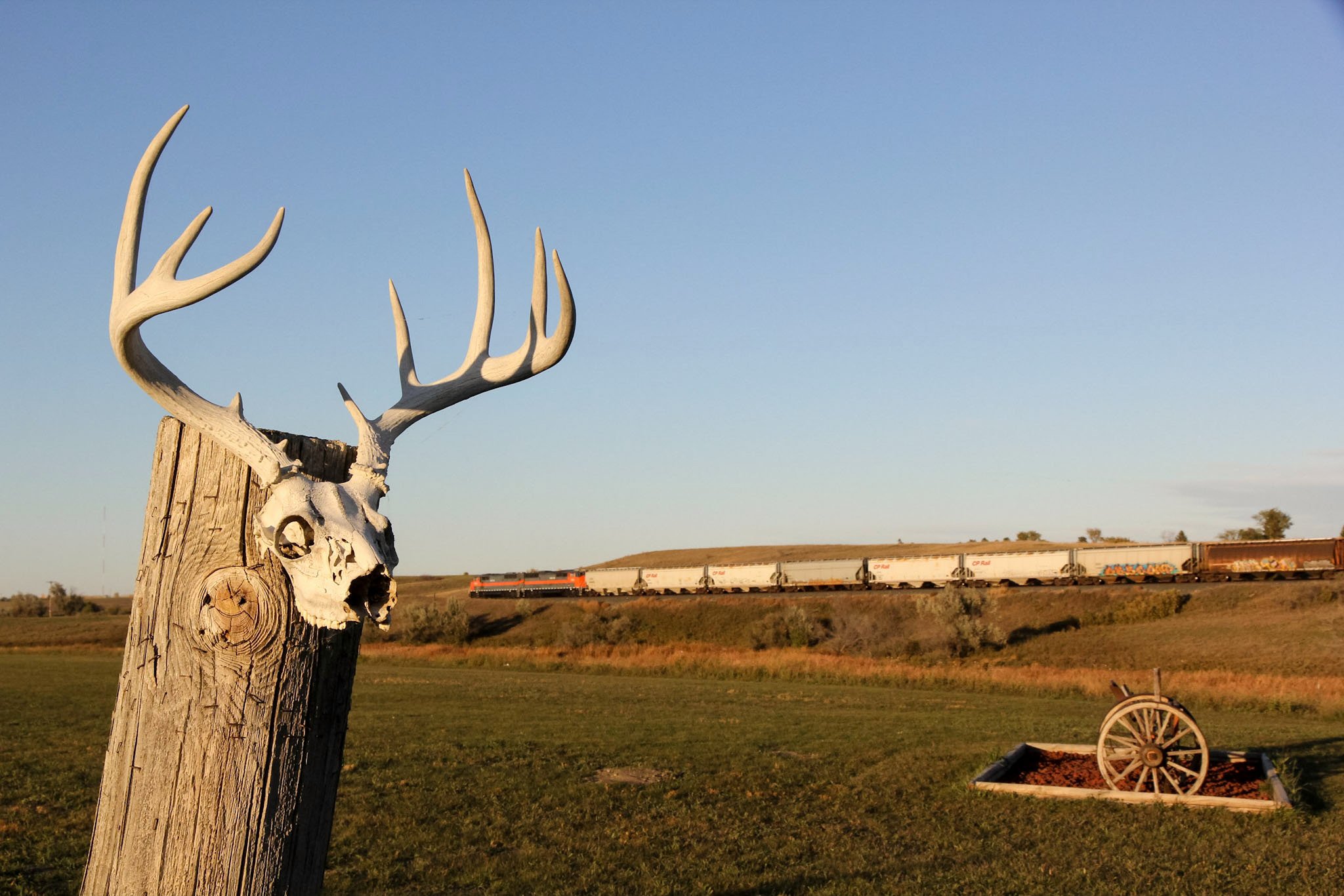
DMVW 5408 Northbound Max Local North of Coleharbor ND
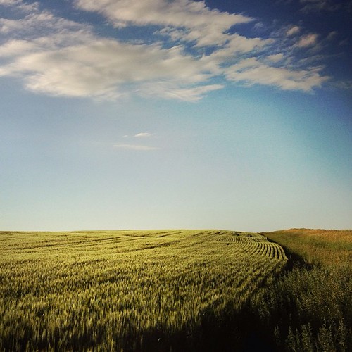
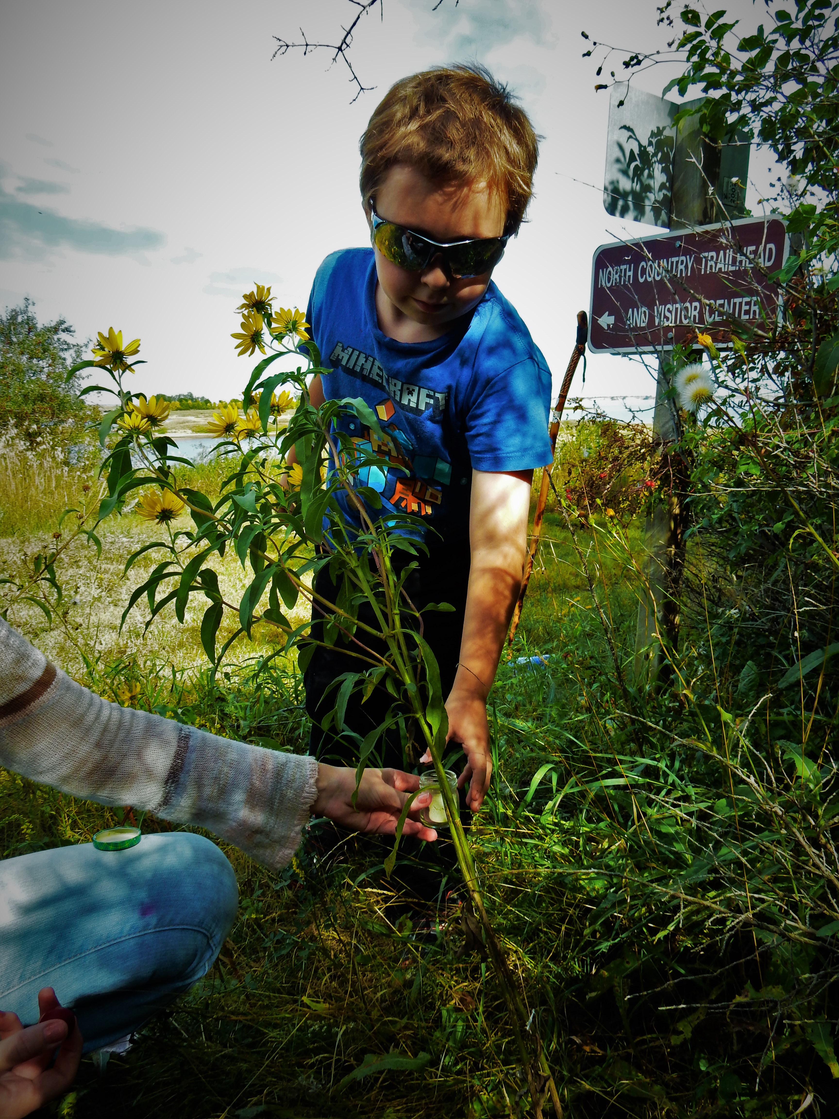
no farm, no food #livelovedocument #northdakota
DMVW NB Local
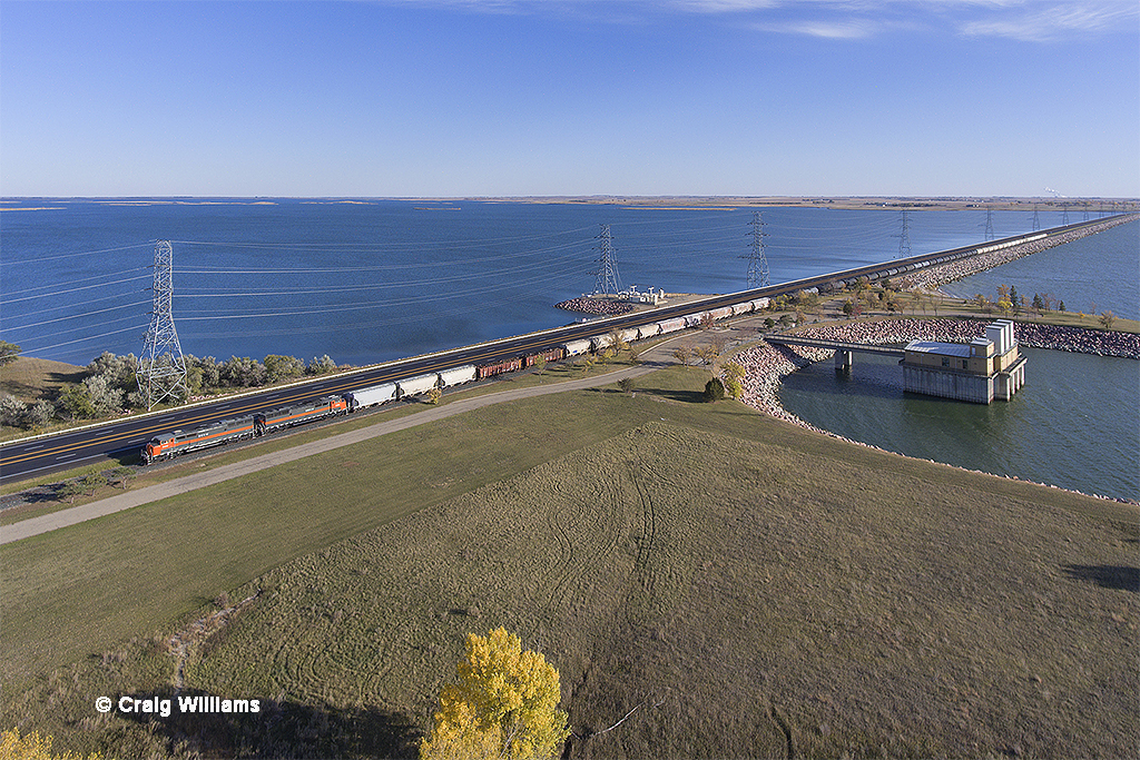
And the mighty SD50F parted the waters
James Nardawahl

Polites themistocles
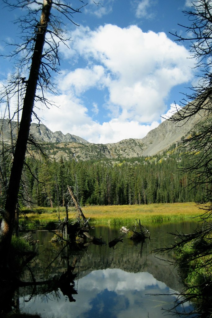
Rocky Mountain National Park

Sunset from the kayak
Topographic Map of Garrison, ND, USA
Find elevation by address:

Places near Garrison, ND, USA:
Fort Stevenson State Park
Pick City
12 W Main St, Pick City, ND, USA
4th St, Riverdale, ND, USA
East Mercer
Hazen
Mercer County
Beulah
Main St E, Beulah, ND, USA
Elm Ave, New Salem, ND, USA
3914 County Rd 86
Halliday
253 1st Ave W
253 1st Ave W
Heart Butte Dam
15 Central Ave N, Dunn Center, ND, USA
Stark County
Madison
59 Street Southwest
6 1st Ave W, Regent, ND, USA
Recent Searches:
- Elevation of Sattva Horizon, 4JC6+G9P, Vinayak Nagar, Kattigenahalli, Bengaluru, Karnataka, India
- Elevation of Great Brook Sports, Gold Star Hwy, Groton, CT, USA
- Elevation of 10 Mountain Laurels Dr, Nashua, NH, USA
- Elevation of 16 Gilboa Ln, Nashua, NH, USA
- Elevation of Laurel Rd, Townsend, TN, USA
- Elevation of 3 Nestling Wood Dr, Long Valley, NJ, USA
- Elevation of Ilungu, Tanzania
- Elevation of Yellow Springs Road, Yellow Springs Rd, Chester Springs, PA, USA
- Elevation of Rēzekne Municipality, Latvia
- Elevation of Plikpūrmaļi, Vērēmi Parish, Rēzekne Municipality, LV-, Latvia