Elevation map of McLean County, ND, USA
Location: United States > North Dakota >
Longitude: -101.13112
Latitude: 47.6185079
Elevation: 575m / 1886feet
Barometric Pressure: 95KPa
Elevation Map:
Satellite Map:
Related Photos:
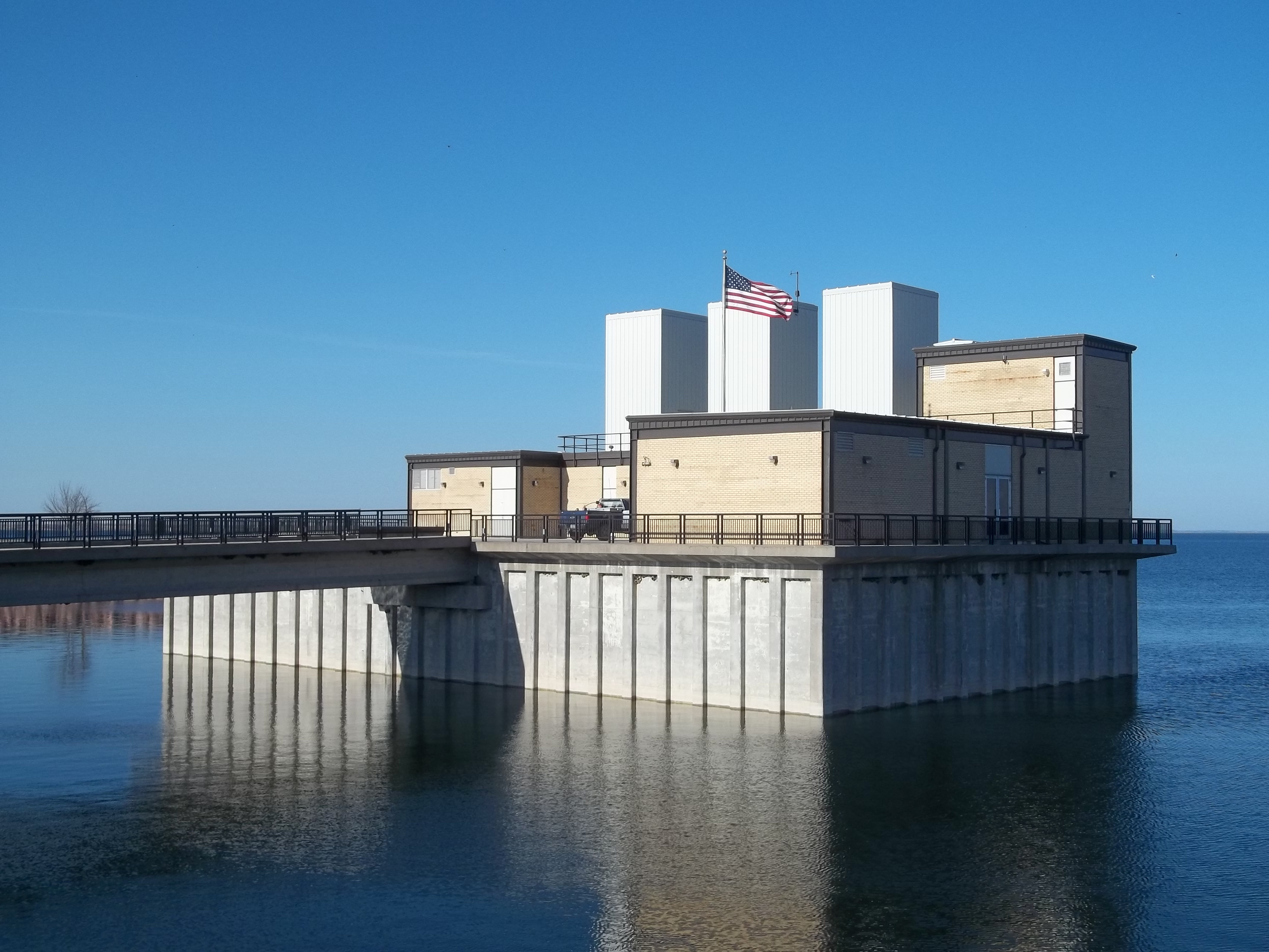
Snake Creek pumping plant, SW view

Snake Creek pumping plant, NW view
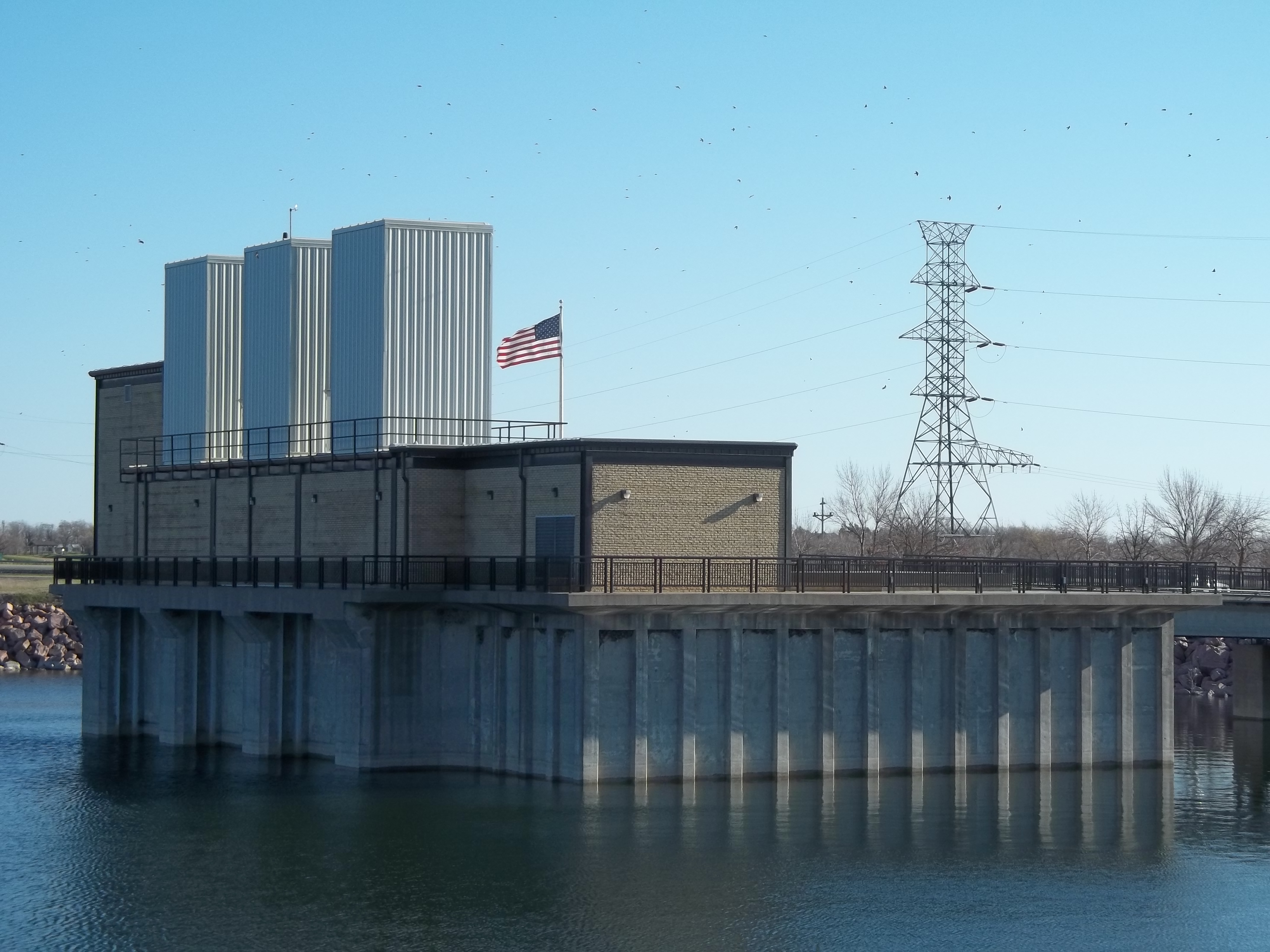
Snake Creek pumping plant, NE view
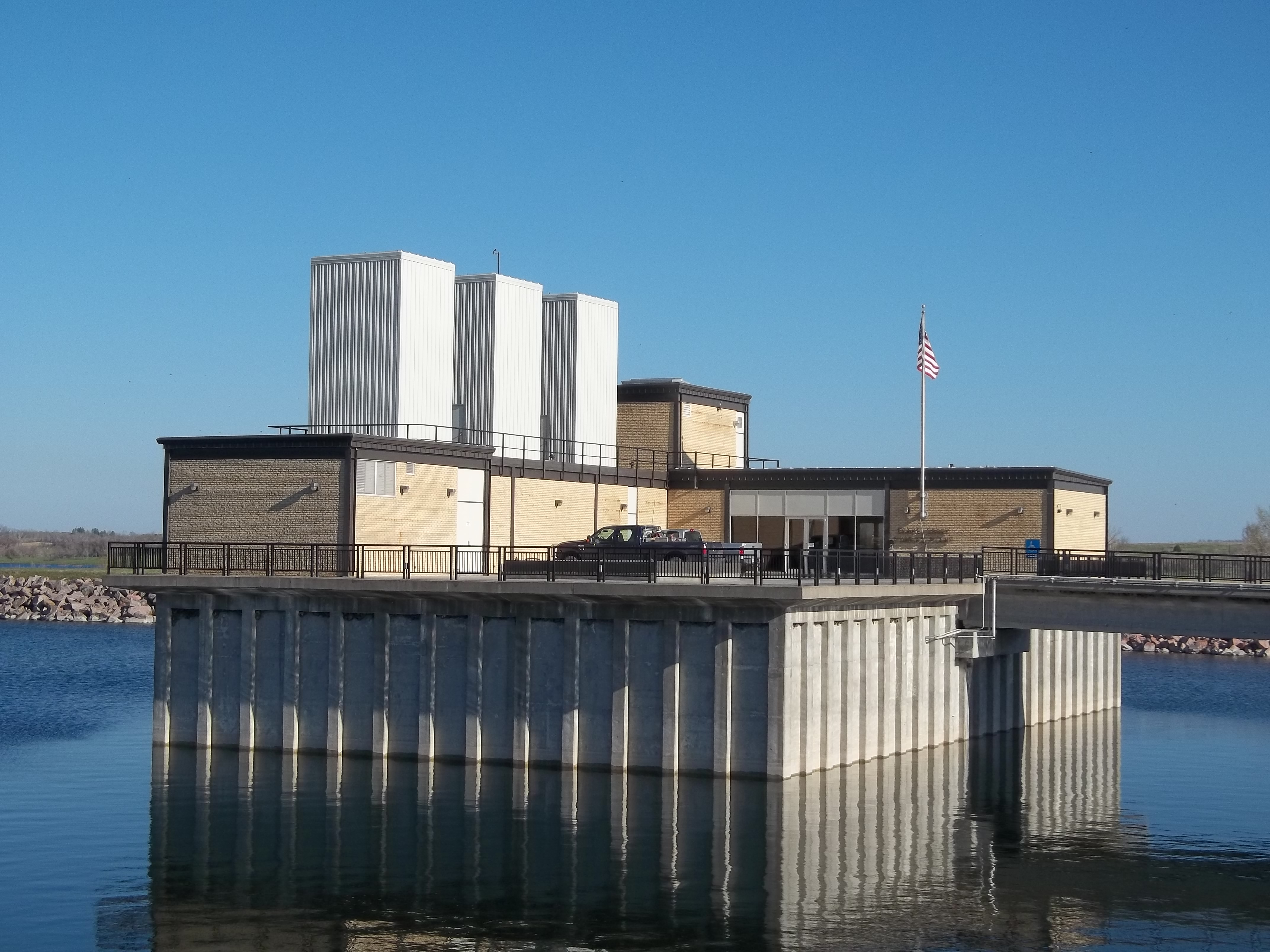
Snake Creek pumping plant, N-NW view
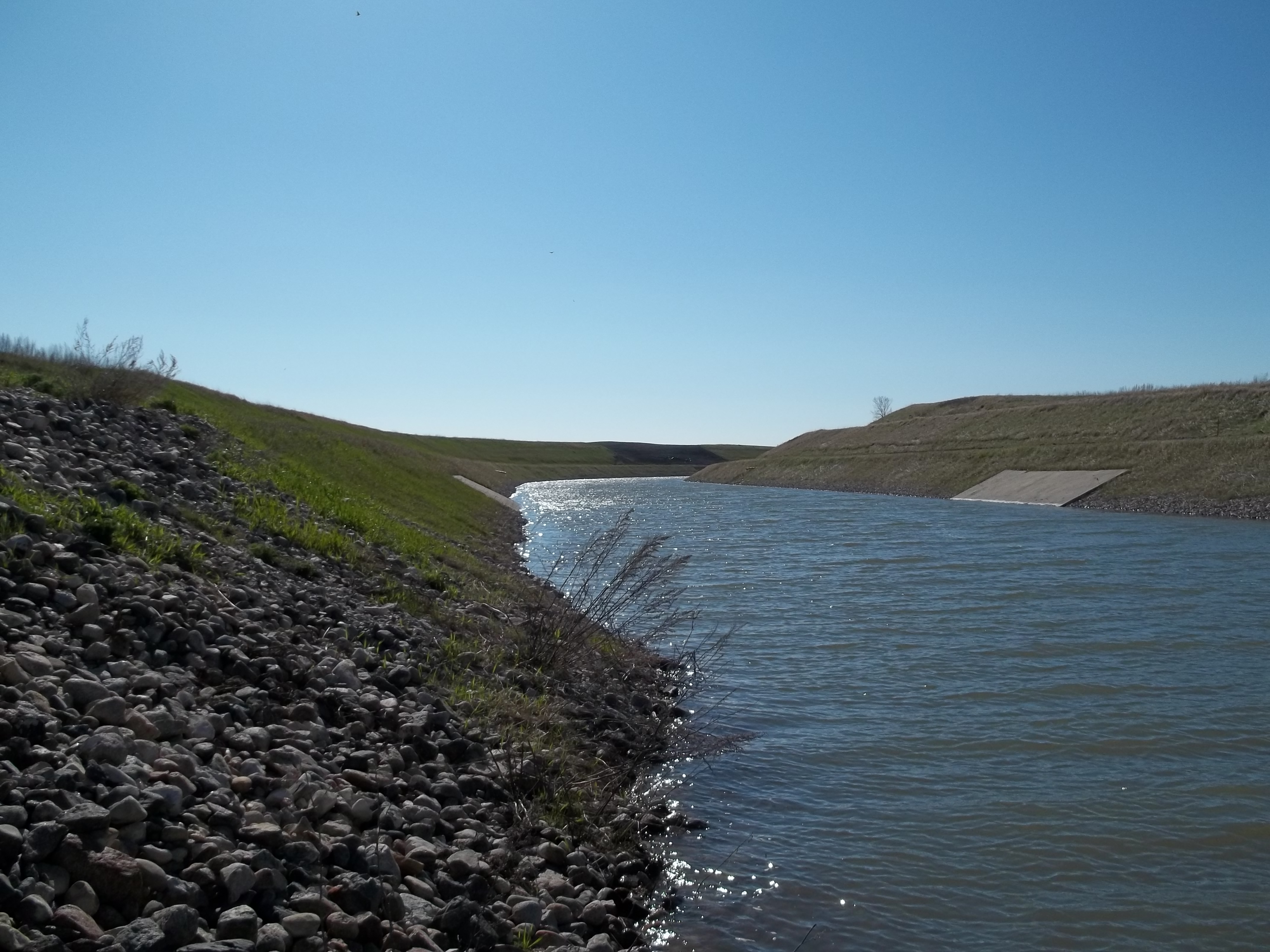
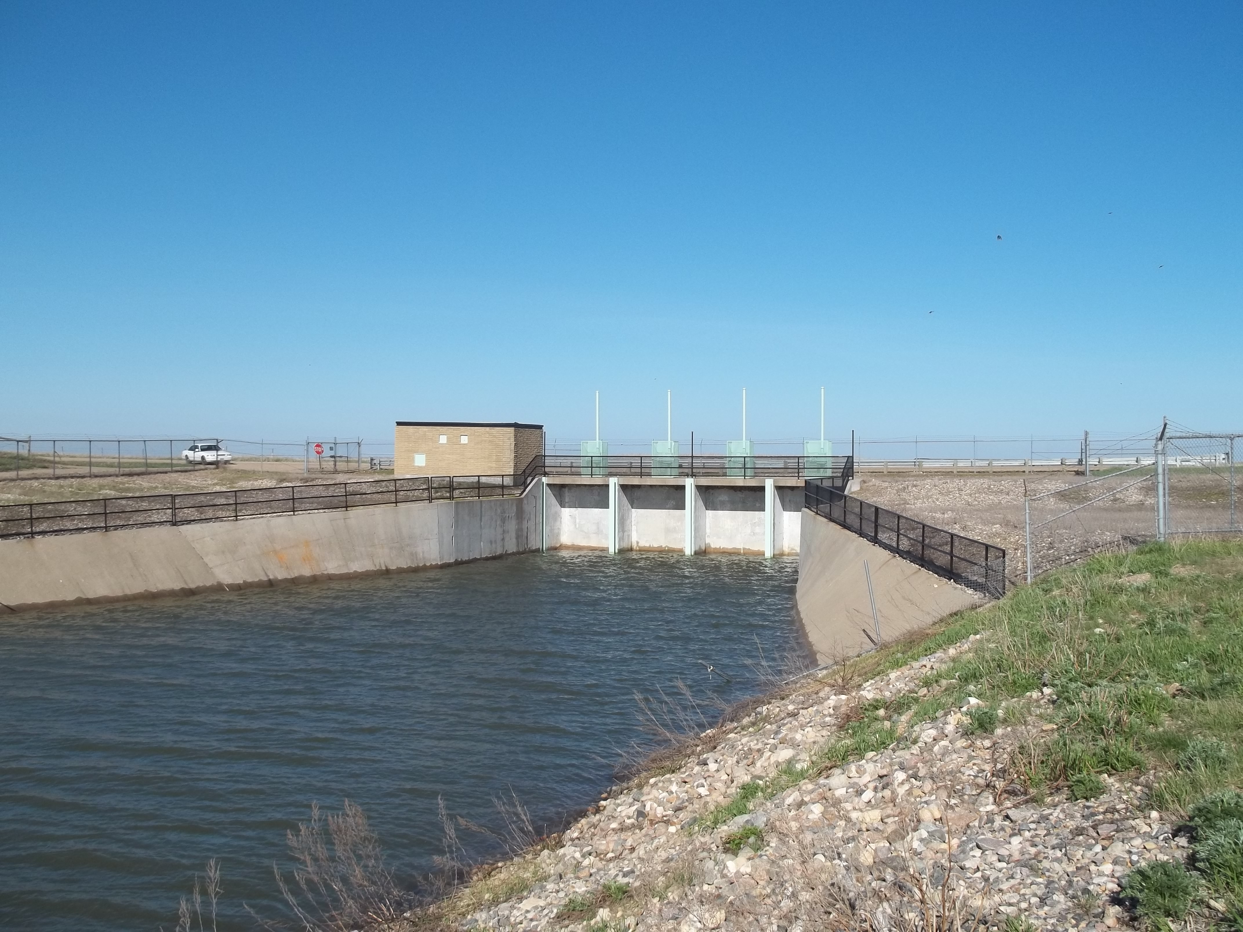
Lower east view of canal channel
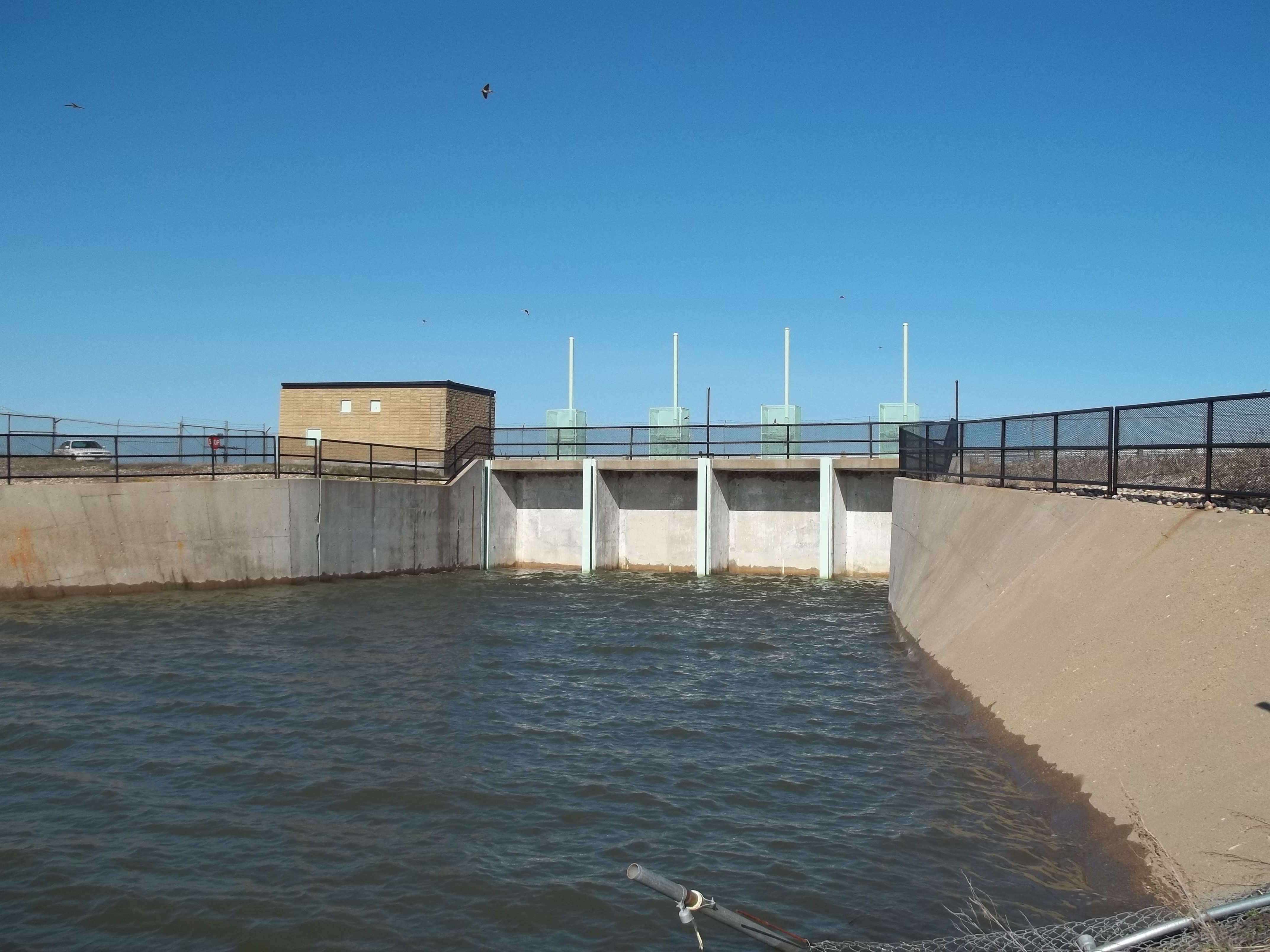
Closer view of control gates, McClusky Canal
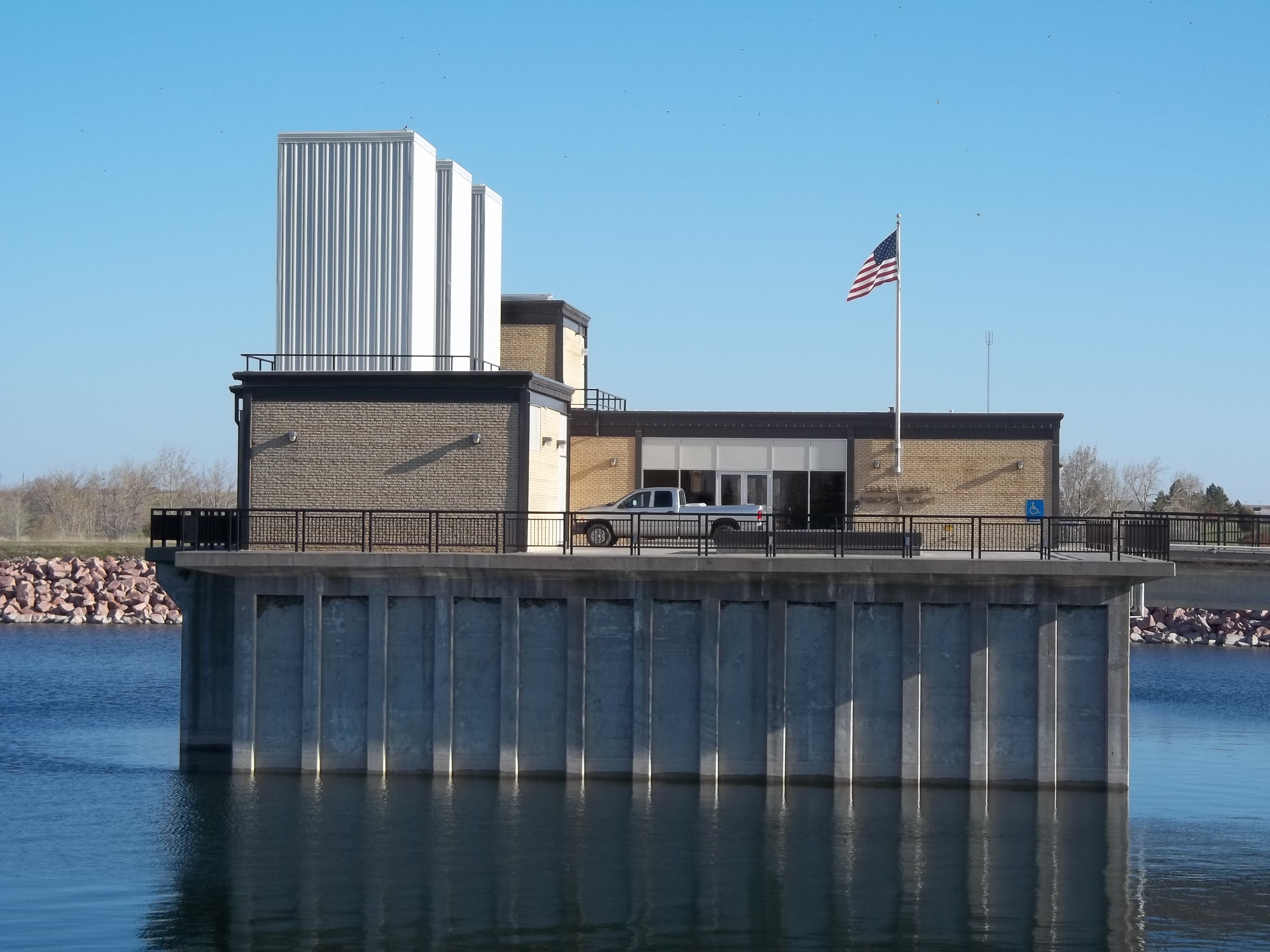
Snake Creek Pumping plant, north view
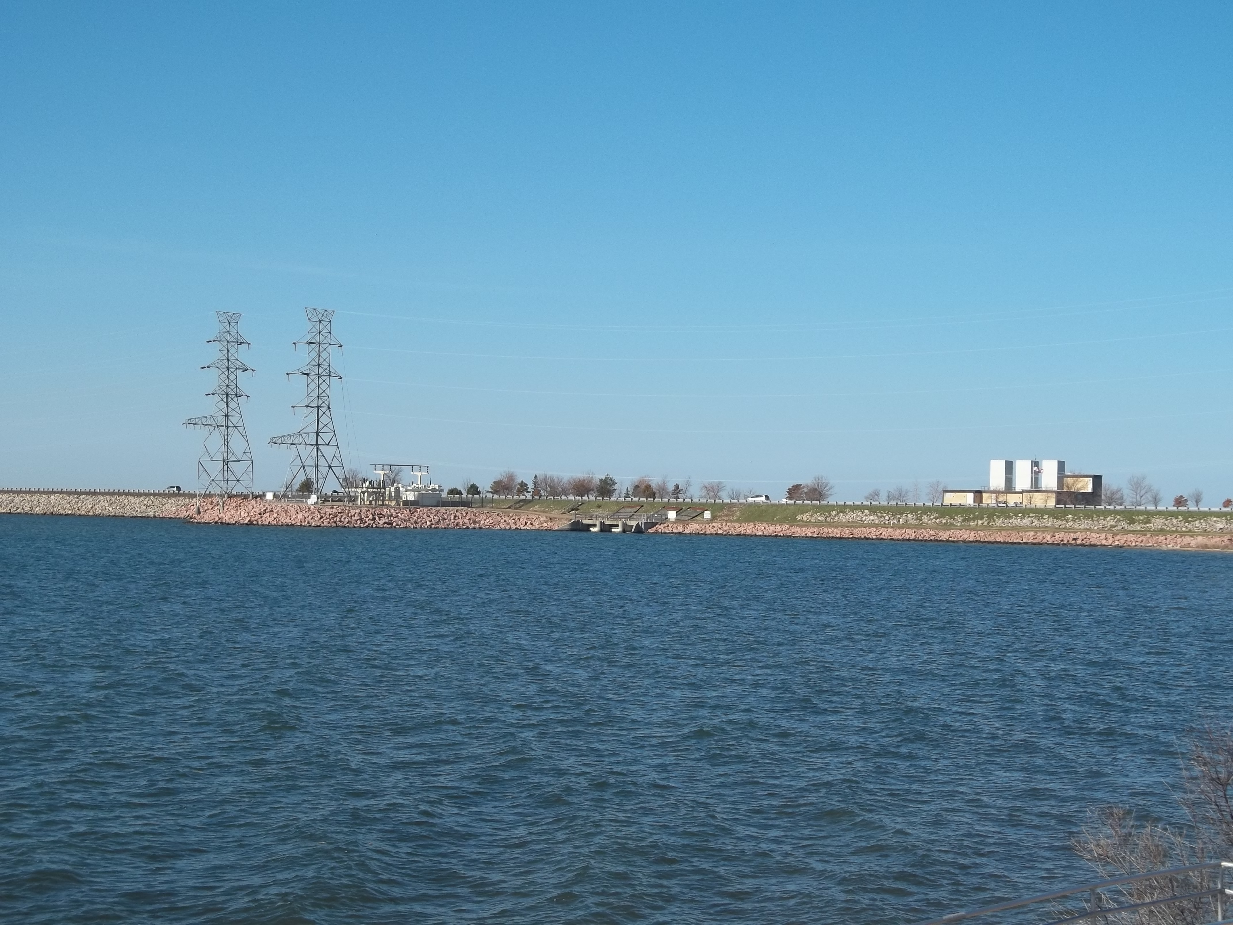
Entire view of the Snake Creek Pumping Plant property
Gateway, North Dakota
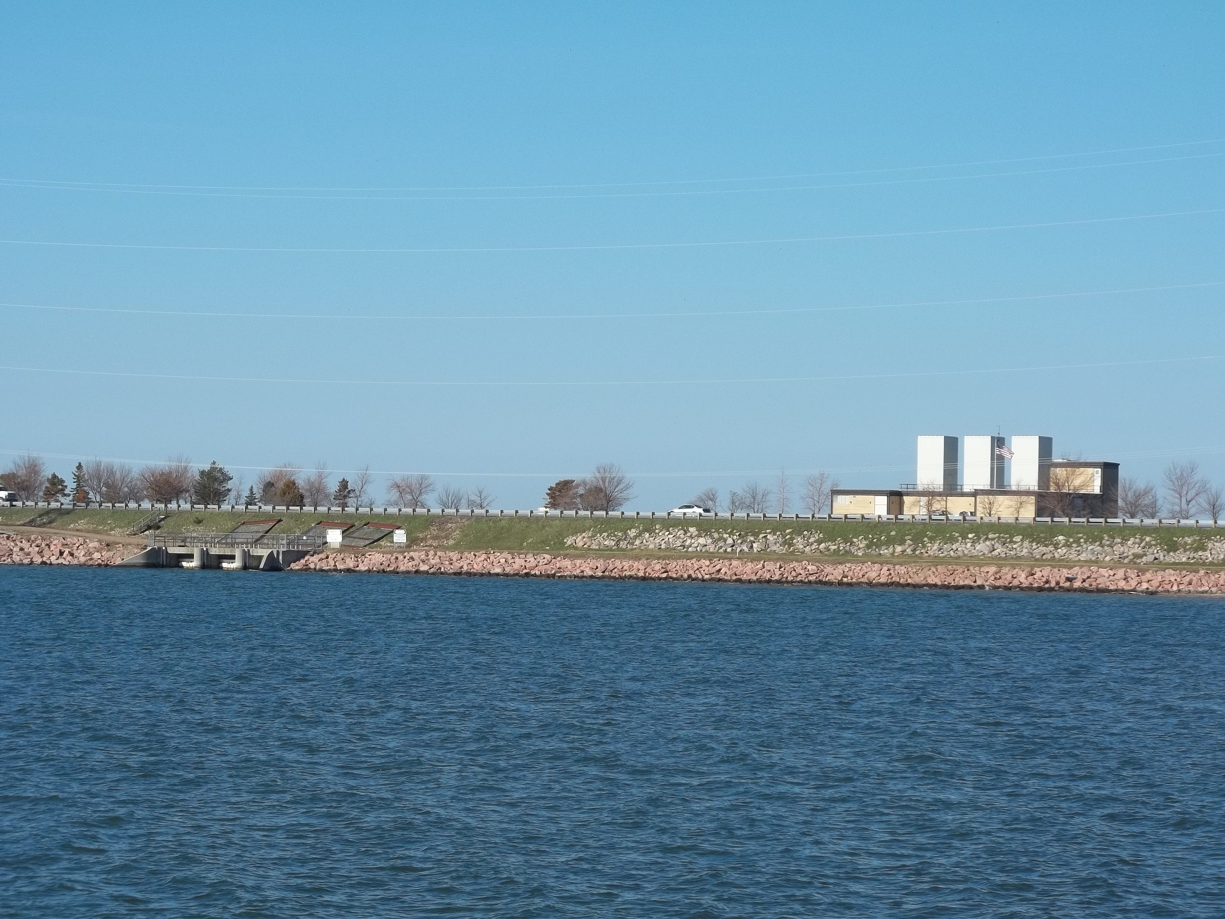
Snake Creek from Lake Audubon side, plant and headgates

The Eye

no farm, no food #livelovedocument #northdakota

Old friends in new places...

My Grandfathers Farm North Dakota West of Turtle Lake 1976
Coleharbor, North Dakota
Manitou, North Dakota
Headwork control gates to McClusky Canal
Riverdale Junction, North Dakota

IMG_0333.JPG
Topographic Map of McLean County, ND, USA
Find elevation by address:

Places in McLean County, ND, USA:
Places near McLean County, ND, USA:
North Dakota
Turtle Lake
Washburn
Mclean Ave, Wilton, ND, USA
Wilton
3550 279th Ave Ne
Ecklund
Burnt Creek-riverview
Fort Rice, ND, USA
6717 Kingswood Rd
6864 Deerewood Ln
7315 Discovery Dr
Mandan
3726 Powder Ridge Dr
3726 Powder Ridge Dr
Mandan
E Main St, Mandan, ND, USA
936 Canada Ave
Hay Creek
Bismarck, ND, USA
Recent Searches:
- Elevation of Corso Fratelli Cairoli, 35, Macerata MC, Italy
- Elevation of Tallevast Rd, Sarasota, FL, USA
- Elevation of 4th St E, Sonoma, CA, USA
- Elevation of Black Hollow Rd, Pennsdale, PA, USA
- Elevation of Oakland Ave, Williamsport, PA, USA
- Elevation of Pedrógão Grande, Portugal
- Elevation of Klee Dr, Martinsburg, WV, USA
- Elevation of Via Roma, Pieranica CR, Italy
- Elevation of Tavkvetili Mountain, Georgia
- Elevation of Hartfords Bluff Cir, Mt Pleasant, SC, USA