Elevation of Heart Butte Dam, Elgin, ND, USA
Location: United States > North Dakota > Grant County > Heil >
Longitude: -101.81403
Latitude: 46.595562
Elevation: 628m / 2060feet
Barometric Pressure: 94KPa
Elevation Map:
Satellite Map:
Related Photos:
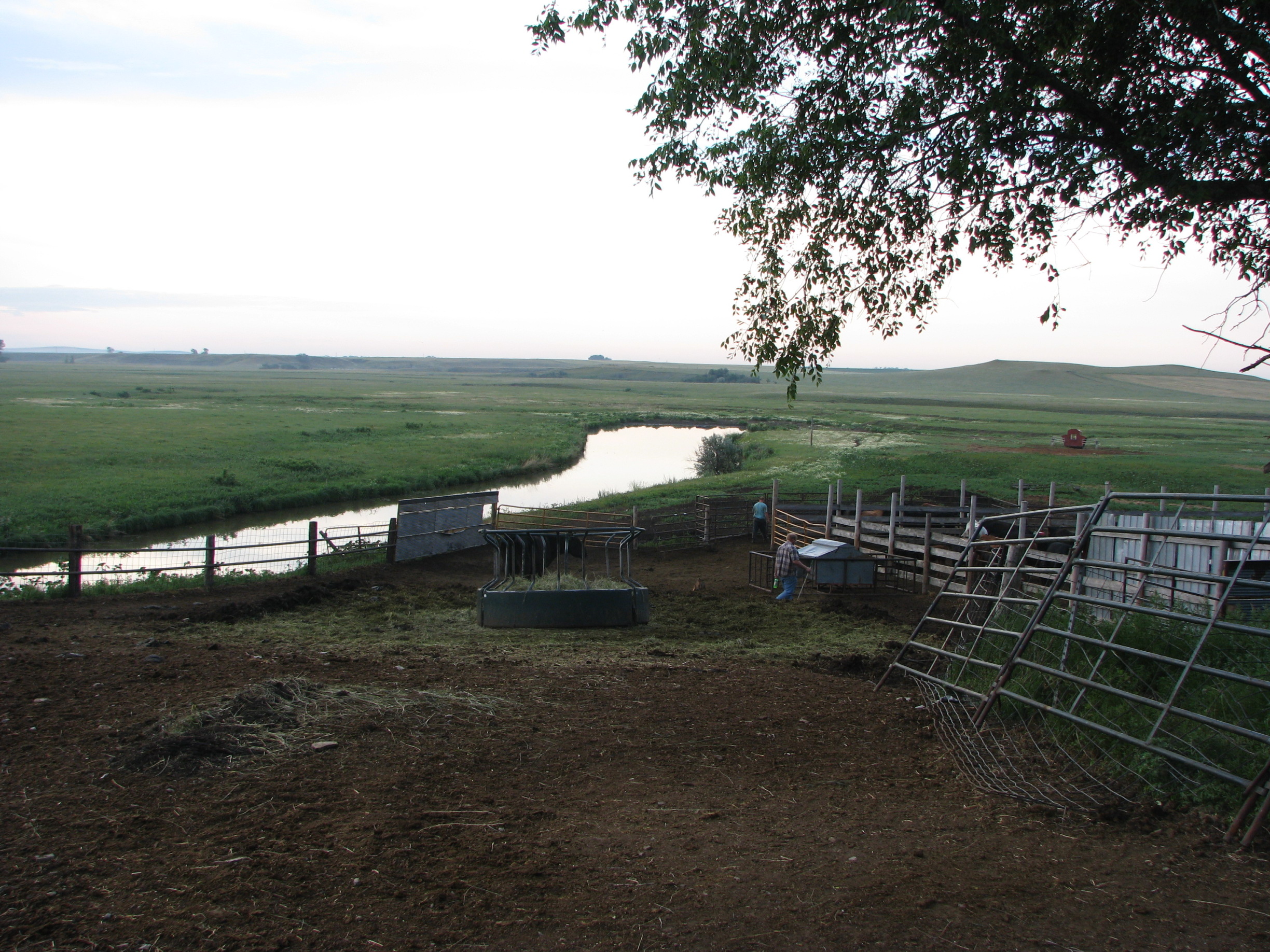
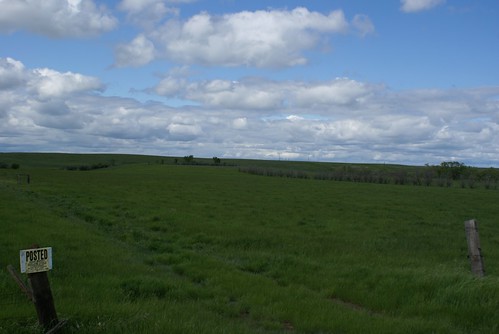
niceview
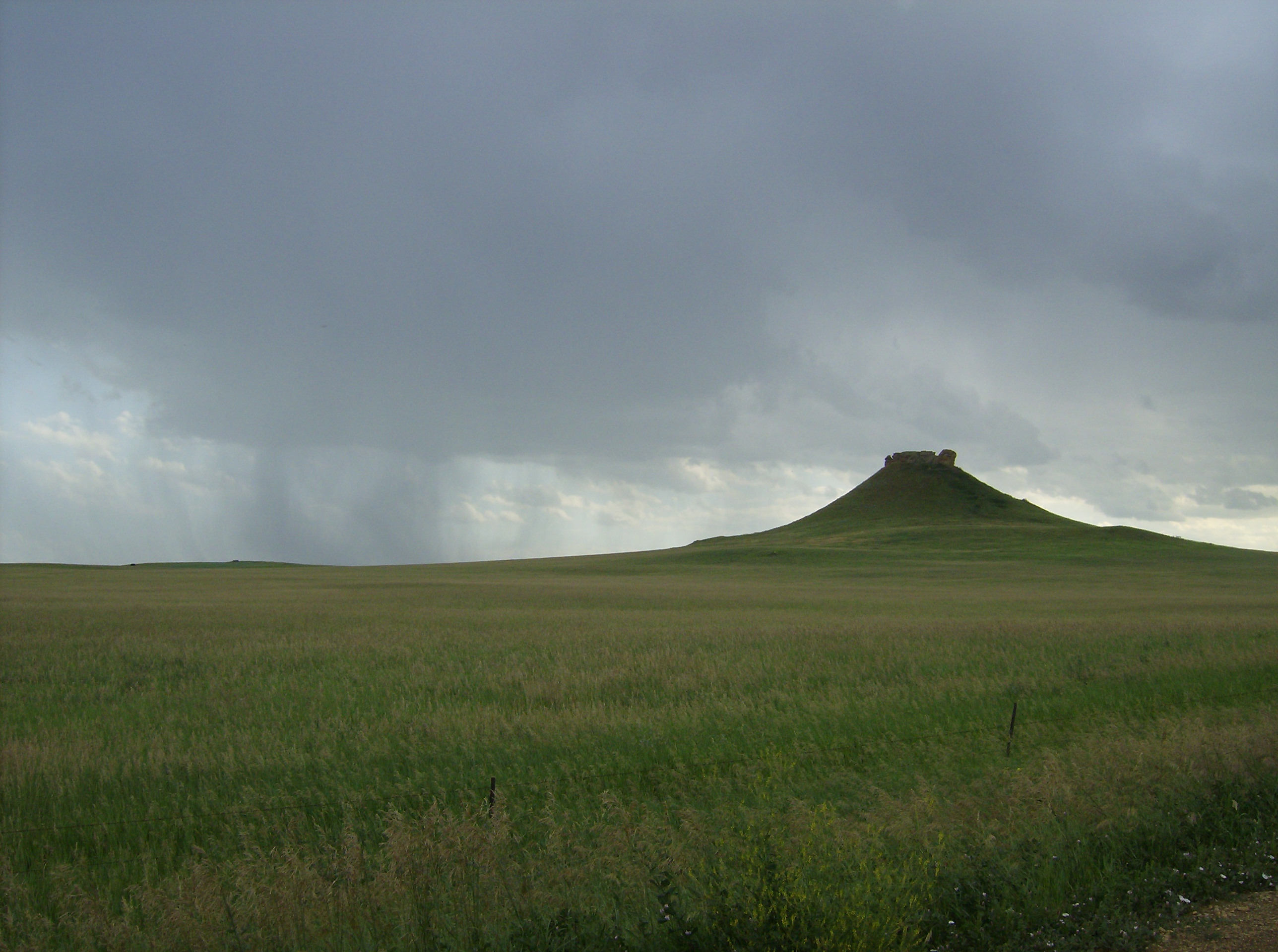
Heart Butte thunderstorm
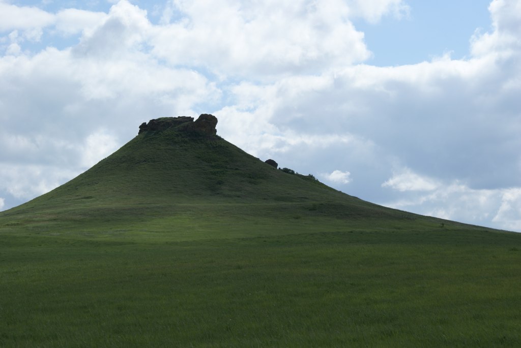
Heart Butte
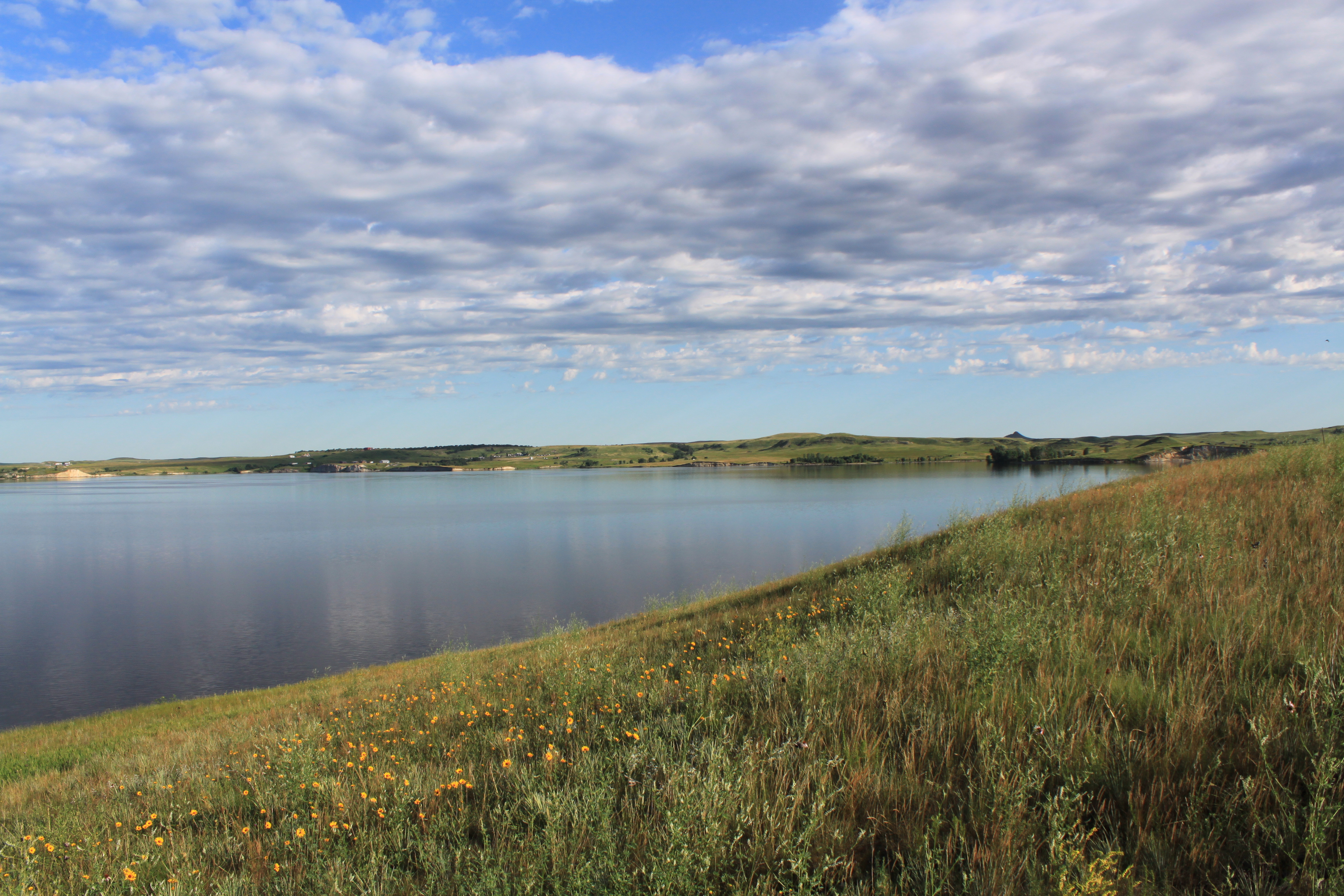
Lake Tschida Morning
Heart Butte (looking North)
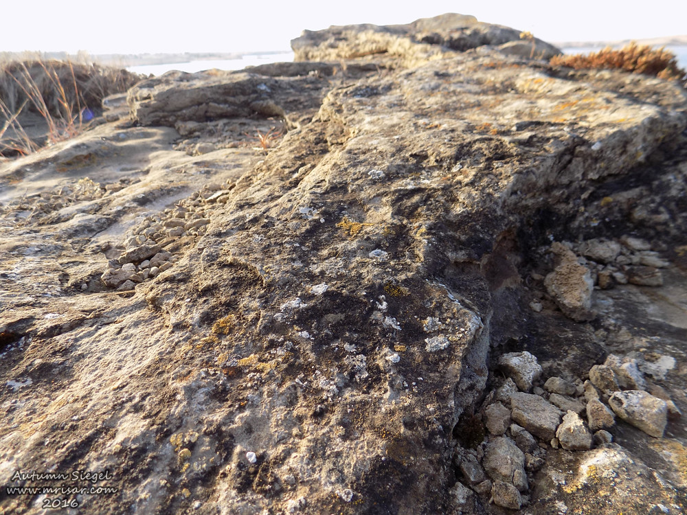
Lichen Covered Rock
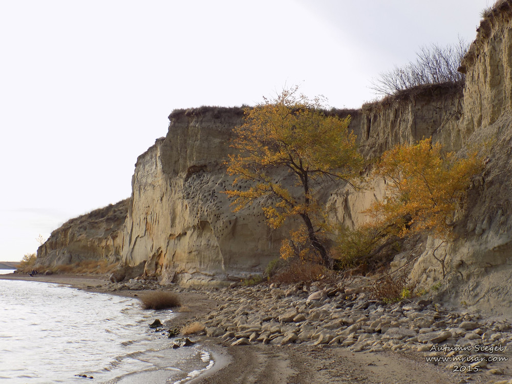
Cliffs at Crappie Creek
Cliffs of Crappie Creek
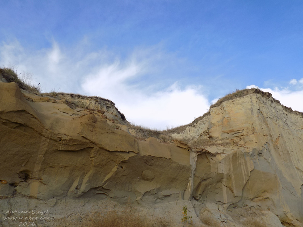
Cliffs of Crappie Creek
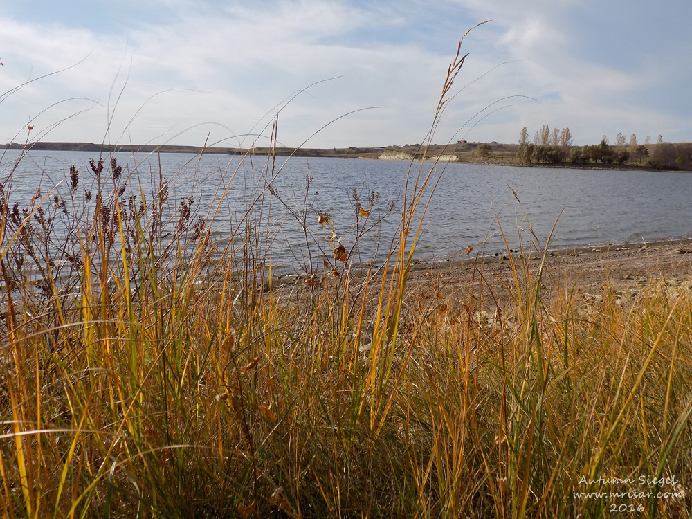
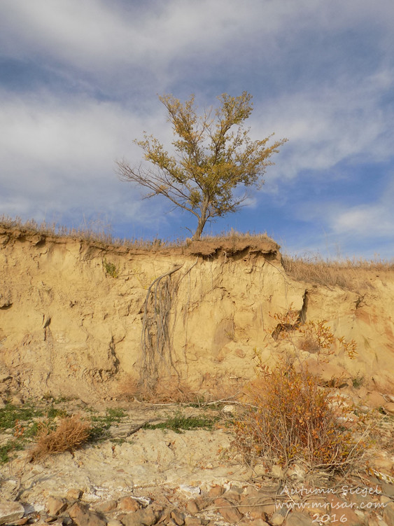
Grass by Crappie Creek
Topographic Map of Heart Butte Dam, Elgin, ND, USA
Find elevation by address:

Places near Heart Butte Dam, Elgin, ND, USA:
3914 County Rd 86
Elm Ave, New Salem, ND, USA
Madison
Beulah
Main St E, Beulah, ND, USA
Hazen
59 Street Southwest
6 1st Ave W, Regent, ND, USA
Mercer County
East Mercer
Stark County
253 1st Ave W
253 1st Ave W
Halliday
12 W Main St, Pick City, ND, USA
Pick City
4th St, Riverdale, ND, USA
Fort Stevenson State Park
15 Central Ave N, Dunn Center, ND, USA
Garrison
Recent Searches:
- Elevation of Laurel Rd, Townsend, TN, USA
- Elevation of 3 Nestling Wood Dr, Long Valley, NJ, USA
- Elevation of Ilungu, Tanzania
- Elevation of Yellow Springs Road, Yellow Springs Rd, Chester Springs, PA, USA
- Elevation of Rēzekne Municipality, Latvia
- Elevation of Plikpūrmaļi, Vērēmi Parish, Rēzekne Municipality, LV-, Latvia
- Elevation of 2 Henschke Ct, Caboolture QLD, Australia
- Elevation of Redondo Ave, Long Beach, CA, USA
- Elevation of Sadovaya Ulitsa, 20, Rezh, Sverdlovskaya oblast', Russia
- Elevation of Ulitsa Kalinina, 79, Rezh, Sverdlovskaya oblast', Russia