Elevation of 1st Ave W, Halliday, ND, USA
Location: United States > North Dakota > Dunn County > Halliday >
Longitude: -102.33808
Latitude: 47.3522378
Elevation: 627m / 2057feet
Barometric Pressure: 94KPa
Elevation Map:
Satellite Map:
Related Photos:
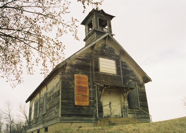
Let Us Pray
North Dakota
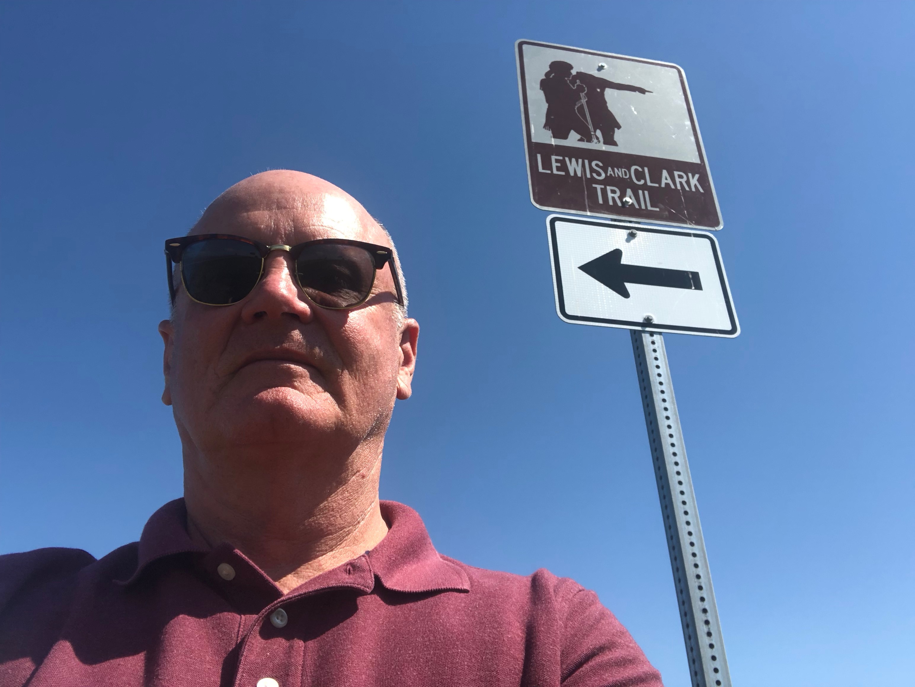
Lewis and Clark Trail
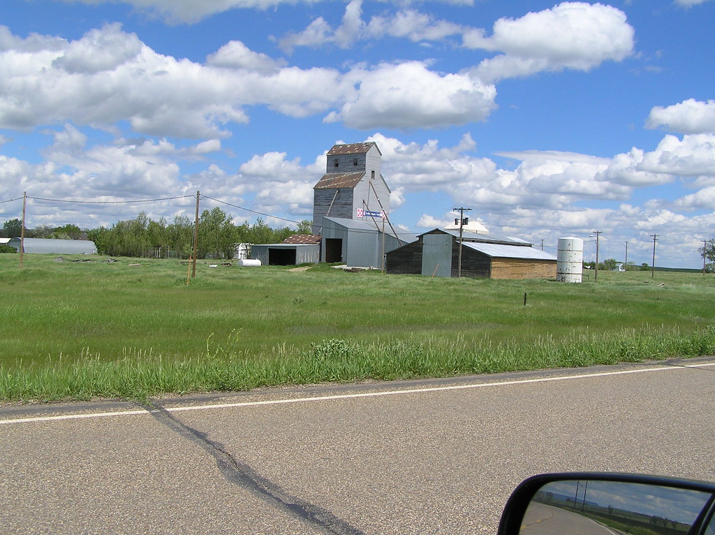
Life in Dodge, North Dakota
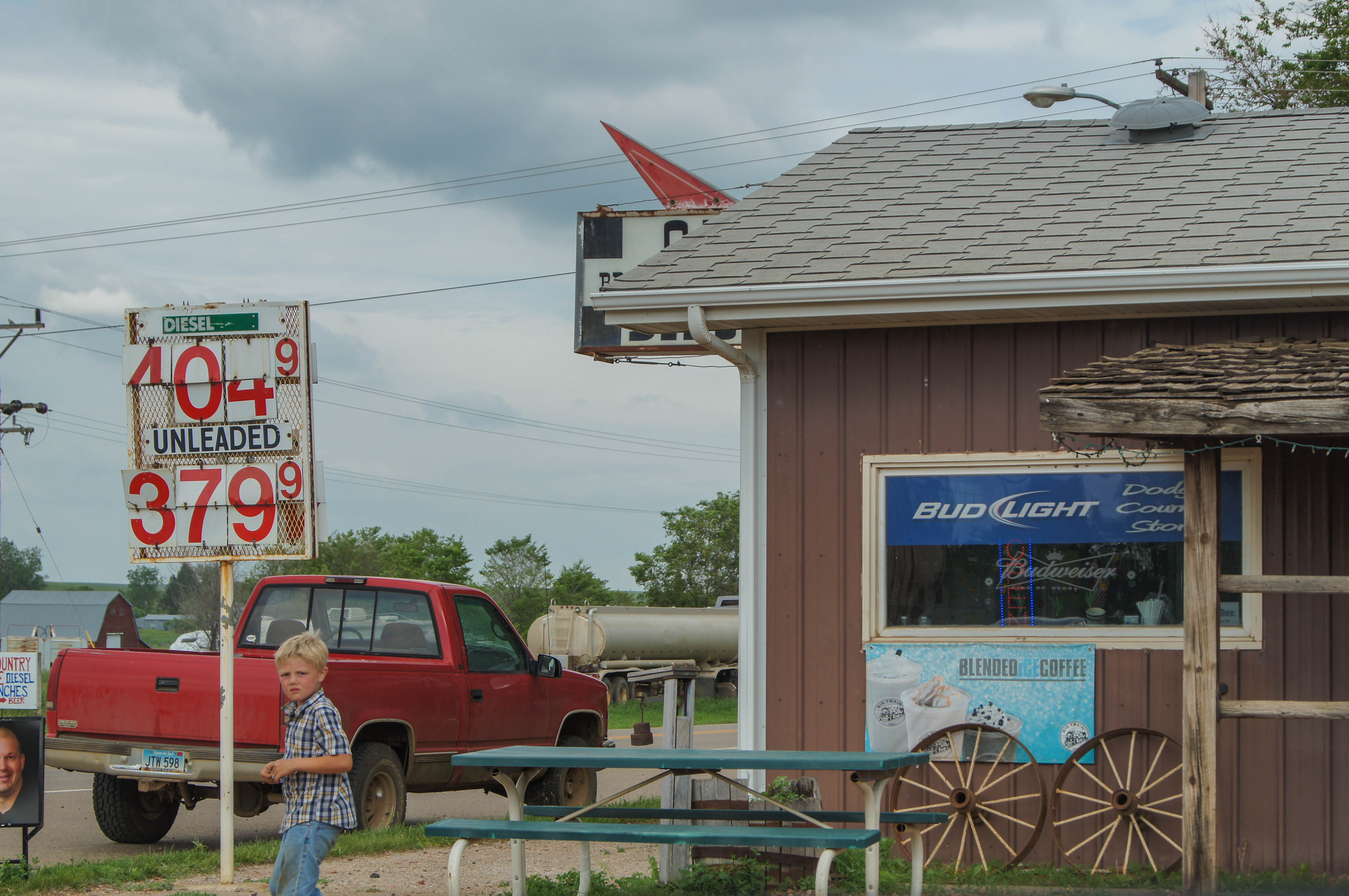
The Common Hues and Tones of Abandon
North Dakota
North Dakota
Topographic Map of 1st Ave W, Halliday, ND, USA
Find elevation by address:

Places near 1st Ave W, Halliday, ND, USA:
253 1st Ave W
Halliday
15 Central Ave N, Dunn Center, ND, USA
Mercer County
Main St E, Beulah, ND, USA
Beulah
Stark County
Hazen
East Mercer
Madison
59 Street Southwest
12 W Main St, Pick City, ND, USA
Pick City
Heart Butte Dam
Fort Stevenson State Park
6 1st Ave W, Regent, ND, USA
Garrison
3914 County Rd 86
4th St, Riverdale, ND, USA
Elm Ave, New Salem, ND, USA
Recent Searches:
- Elevation of Tenjo, Cundinamarca, Colombia
- Elevation of Côte-des-Neiges, Montreal, QC H4A 3J6, Canada
- Elevation of Bobcat Dr, Helena, MT, USA
- Elevation of Zu den Ihlowbergen, Althüttendorf, Germany
- Elevation of Badaber, Peshawar, Khyber Pakhtunkhwa, Pakistan
- Elevation of SE Heron Loop, Lincoln City, OR, USA
- Elevation of Slanický ostrov, 01 Námestovo, Slovakia
- Elevation of Spaceport America, Co Rd A, Truth or Consequences, NM, USA
- Elevation of Warwick, RI, USA
- Elevation of Fern Rd, Whitmore, CA, USA