Elevation of Gapway Rd, Andrews, SC, USA
Location: United States > South Carolina > Georgetown County > Andrews >
Longitude: -79.540918
Latitude: 33.448698
Elevation: 9m / 30feet
Barometric Pressure: 101KPa
Elevation Map:
Satellite Map:
Related Photos:

Into the Black River Swamp

Arundo donax (Giant reed)

Arundo donax (Giant reed)
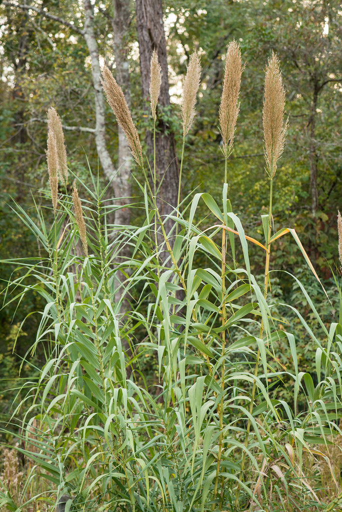
Arundo donax (Giant reed)

Arundo donax (Giant reed)

Jerks.

Escort to the Races.

Rundown the Straightaway.

April 25, 2014

Cousins on a boat. #PostonFamilyReunion2013

Oceda, South Carolina on the SAL's EC mainline
country store
Topographic Map of Gapway Rd, Andrews, SC, USA
Find elevation by address:

Places near Gapway Rd, Andrews, SC, USA:
Buster Taylor Drive
501 E Main St
Andrews
501 W Main St
700 W Main St
82 Cherry Hill Loop
321 Powell Loop
Earle
Saints Delight Road
County Rd S-22-, Georgetown, SC, USA
Saints Delight Rd, Andrews, SC, USA
County Rd S-22-, Georgetown, SC, USA
8198 Highmarket St
60 Sarah Ave
8 Oaks Park
Black Mingo Creek
419 Wee Tee Rd
Faber Avenue
County Rd S-22-6, Georgetown, SC, USA
569 Belton Loop
Recent Searches:
- Elevation of Corso Fratelli Cairoli, 35, Macerata MC, Italy
- Elevation of Tallevast Rd, Sarasota, FL, USA
- Elevation of 4th St E, Sonoma, CA, USA
- Elevation of Black Hollow Rd, Pennsdale, PA, USA
- Elevation of Oakland Ave, Williamsport, PA, USA
- Elevation of Pedrógão Grande, Portugal
- Elevation of Klee Dr, Martinsburg, WV, USA
- Elevation of Via Roma, Pieranica CR, Italy
- Elevation of Tavkvetili Mountain, Georgia
- Elevation of Hartfords Bluff Cir, Mt Pleasant, SC, USA