Elevation of 82 Cherry Hill Loop, Andrews, SC, USA
Location: United States > South Carolina > Georgetown County > Andrews >
Longitude: -79.590675
Latitude: 33.4380412
Elevation: 13m / 43feet
Barometric Pressure: 101KPa
Elevation Map:
Satellite Map:
Related Photos:

Into the Black River Swamp

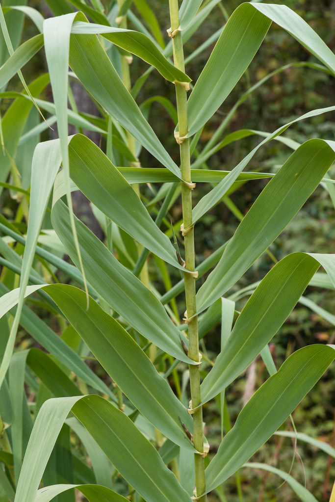
Arundo donax (Giant reed)

country store
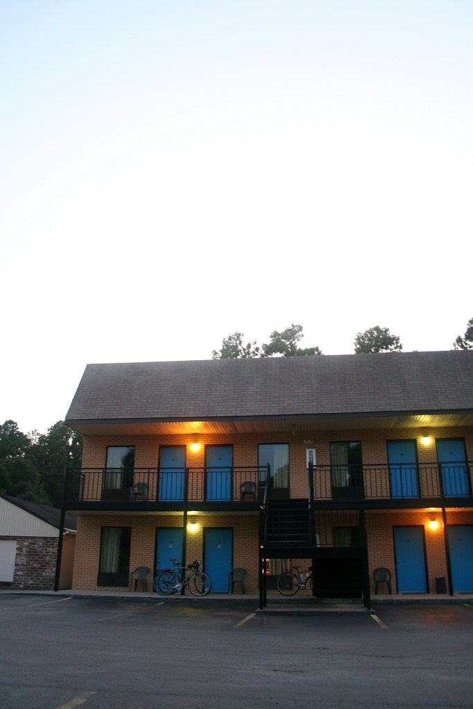
Our Hotel in Andrews

black river cypress plantation
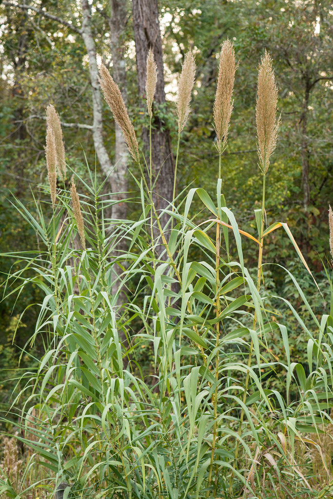
Arundo donax (Giant reed)
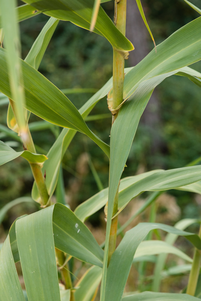
Arundo donax (Giant reed)
Arundo donax (Giant reed)

roadside memorial
Topographic Map of 82 Cherry Hill Loop, Andrews, SC, USA
Find elevation by address:

Places near 82 Cherry Hill Loop, Andrews, SC, USA:
700 W Main St
501 W Main St
321 Powell Loop
Andrews
501 E Main St
Buster Taylor Drive
Gapway Rd, Andrews, SC, USA
Earle
Saints Delight Rd, Andrews, SC, USA
Saints Delight Road
60 Sarah Ave
County Rd S-22-, Georgetown, SC, USA
419 Wee Tee Rd
1111 Millwood Loop
Jamestown
233 Orie Ln
233 Orie Ln
233 Orie Ln
233 Orie Ln
County Rd S-22-, Georgetown, SC, USA
Recent Searches:
- Elevation of Woolwine, VA, USA
- Elevation of Lumagwas Diversified Farmers Multi-Purpose Cooperative, Lumagwas, Adtuyon, RV32+MH7, Pangantucan, Bukidnon, Philippines
- Elevation of Homestead Ridge, New Braunfels, TX, USA
- Elevation of Orchard Road, Orchard Rd, Marlborough, NY, USA
- Elevation of 12 Hutchinson Woods Dr, Fletcher, NC, USA
- Elevation of Holloway Ave, San Francisco, CA, USA
- Elevation of Norfolk, NY, USA
- Elevation of - San Marcos Pass Rd, Santa Barbara, CA, USA
- Elevation of th Pl SE, Issaquah, WA, USA
- Elevation of 82- D Rd, Captain Cook, HI, USA