Elevation of Buster Taylor Drive, Buster Taylor Dr, South Carolina, USA
Location: United States > South Carolina > Georgetown County > Andrews >
Longitude: -79.544426
Latitude: 33.4548206
Elevation: 8m / 26feet
Barometric Pressure: 101KPa
Elevation Map:
Satellite Map:
Related Photos:

Arundo donax (Giant reed)
99 DE-309112 US
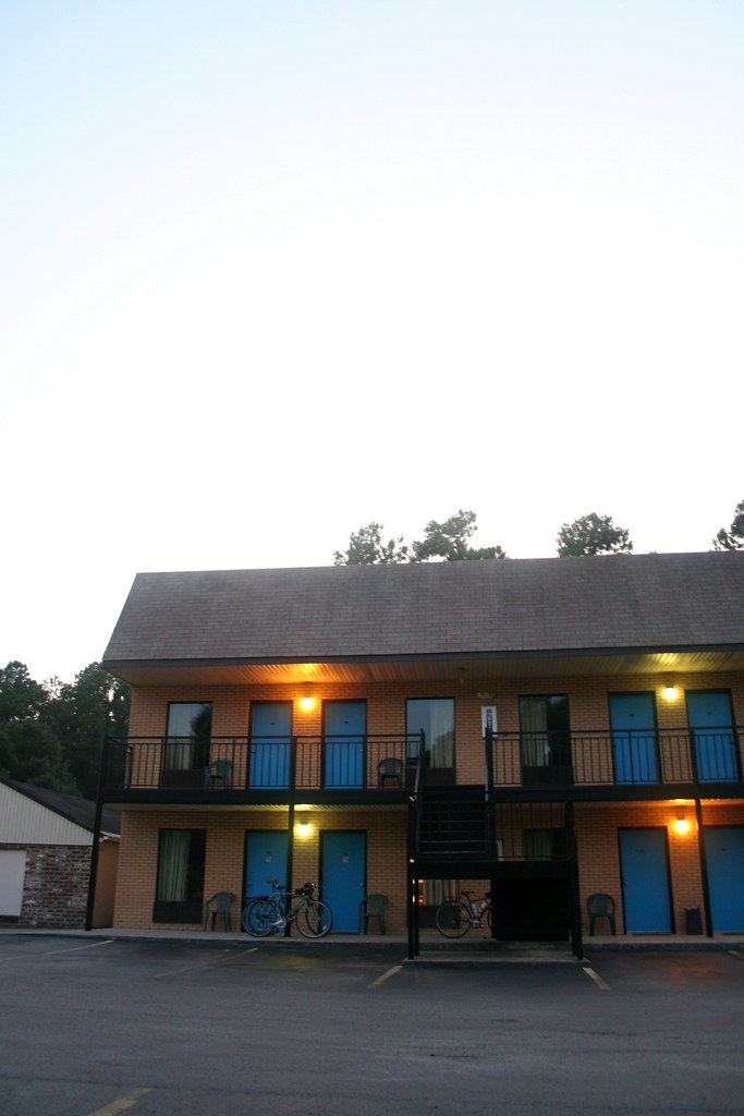
Our Hotel in Andrews

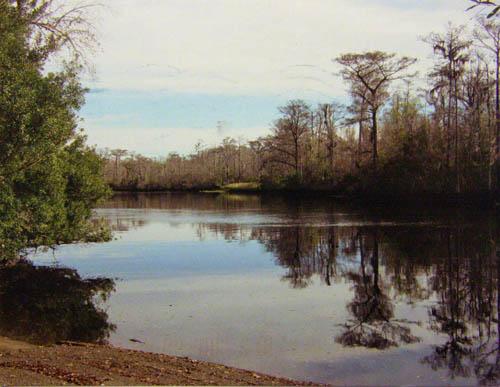
black river cypress plantation

Arundo donax (Giant reed)
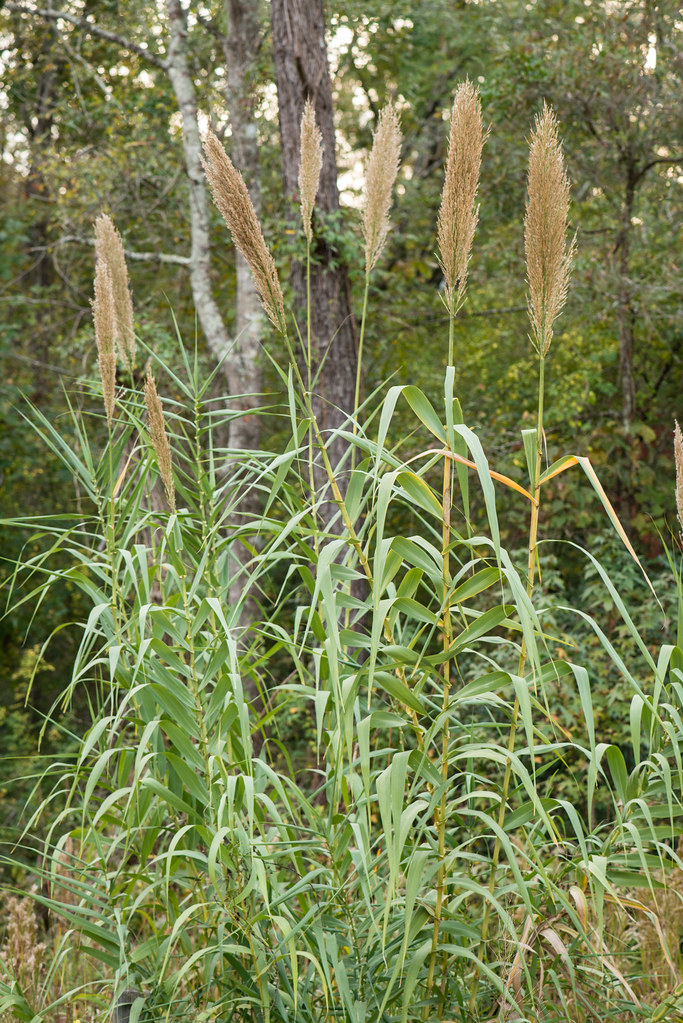
Arundo donax (Giant reed)

Arundo donax (Giant reed)

country store

Cousins on a boat. #PostonFamilyReunion2013
Topographic Map of Buster Taylor Drive, Buster Taylor Dr, South Carolina, USA
Find elevation by address:

Places near Buster Taylor Drive, Buster Taylor Dr, South Carolina, USA:
Gapway Rd, Andrews, SC, USA
501 E Main St
Andrews
501 W Main St
700 W Main St
82 Cherry Hill Loop
321 Powell Loop
Earle
Saints Delight Road
County Rd S-22-, Georgetown, SC, USA
County Rd S-22-, Georgetown, SC, USA
Saints Delight Rd, Andrews, SC, USA
60 Sarah Ave
8198 Highmarket St
8 Oaks Park
Black Mingo Creek
419 Wee Tee Rd
Faber Avenue
County Rd S-22-6, Georgetown, SC, USA
569 Belton Loop
Recent Searches:
- Elevation of Kreuzburger Weg 13, Düsseldorf, Germany
- Elevation of Gateway Blvd SE, Canton, OH, USA
- Elevation of East W.T. Harris Boulevard, E W.T. Harris Blvd, Charlotte, NC, USA
- Elevation of West Sugar Creek, Charlotte, NC, USA
- Elevation of Wayland, NY, USA
- Elevation of Steadfast Ct, Daphne, AL, USA
- Elevation of Lagasgasan, X+CQH, Tiaong, Quezon, Philippines
- Elevation of Rojo Ct, Atascadero, CA, USA
- Elevation of Flagstaff Drive, Flagstaff Dr, North Carolina, USA
- Elevation of Avery Ln, Lakeland, FL, USA