Elevation of Earle, SC, USA
Location: United States > South Carolina > Williamsburg County >
Longitude: -79.636177
Latitude: 33.4648885
Elevation: 12m / 39feet
Barometric Pressure: 101KPa
Elevation Map:
Satellite Map:
Related Photos:

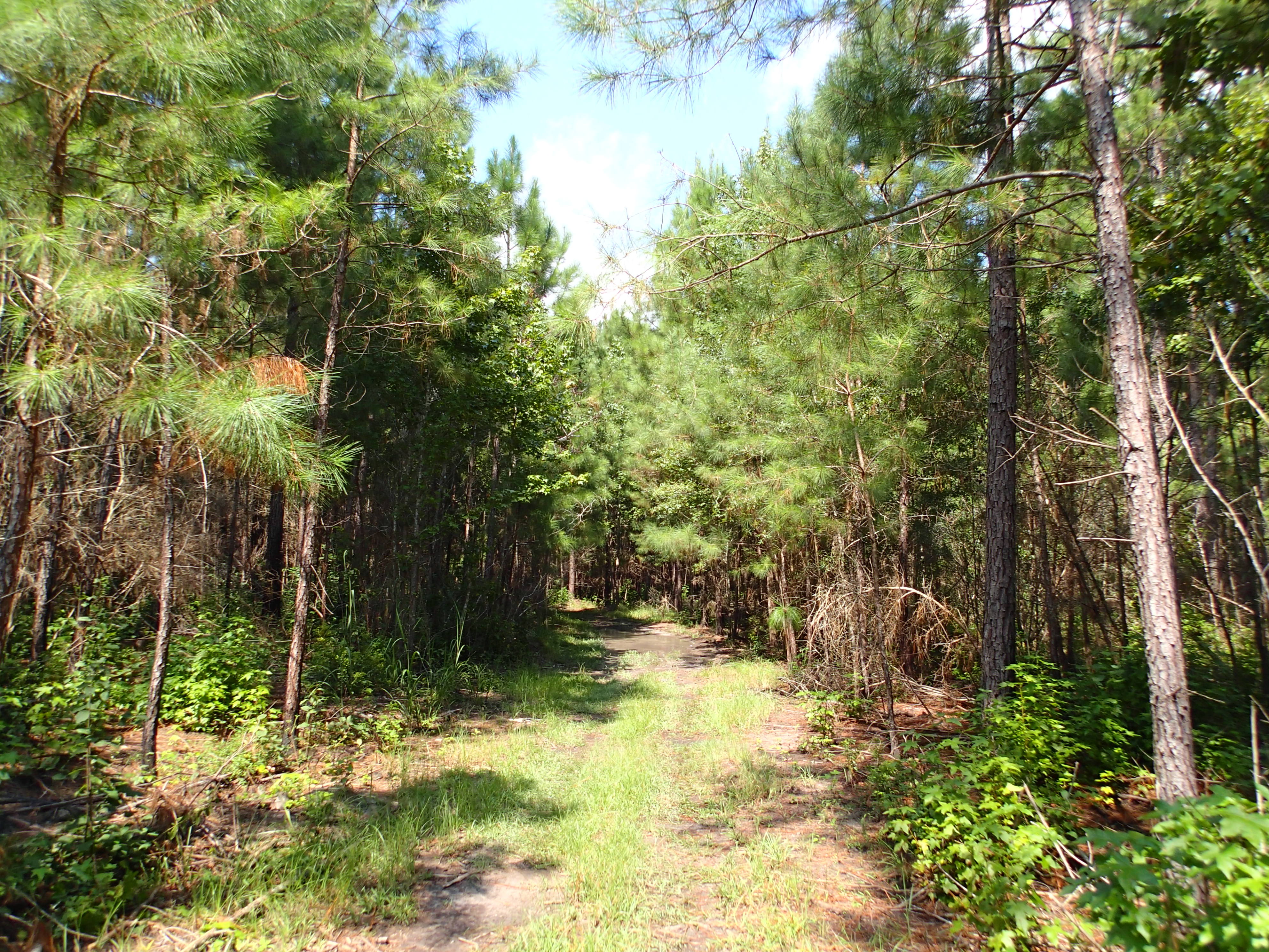
Into the Black River Swamp

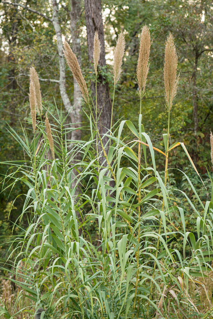
Arundo donax (Giant reed)
2012-08-31 at 13-55-18.jpg

2012-08-31 at 13-56-01.jpg
99 DE-309112 US
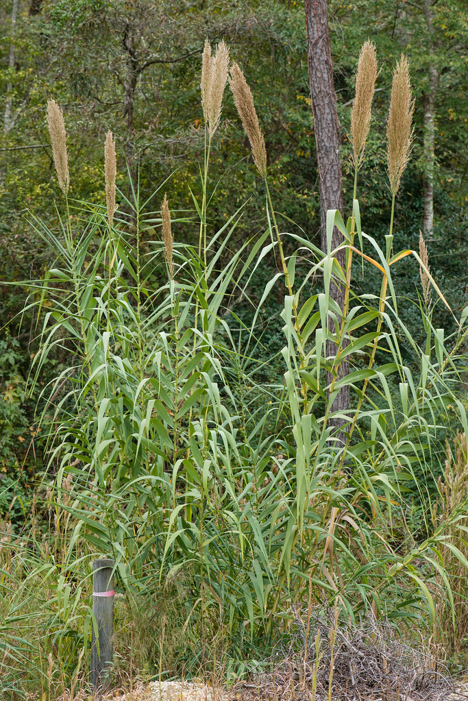
Arundo donax (Giant reed)
Arundo donax (Giant reed)
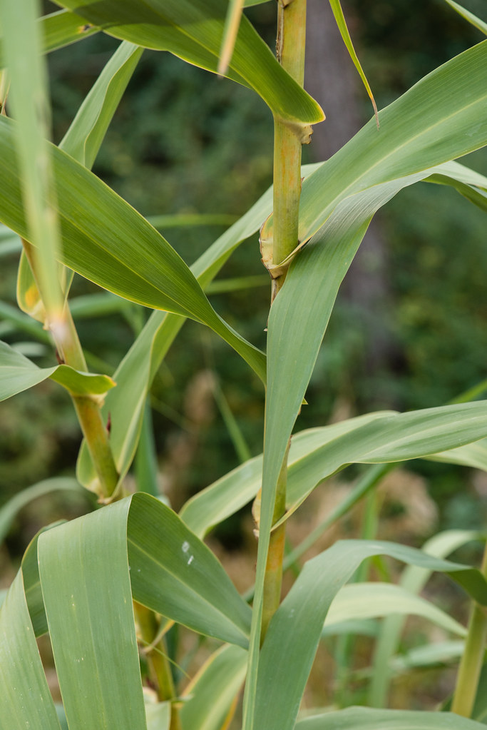
Arundo donax (Giant reed)

Oceda, South Carolina on the SAL's EC mainline

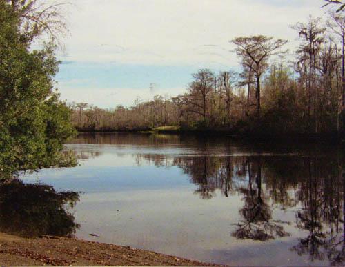
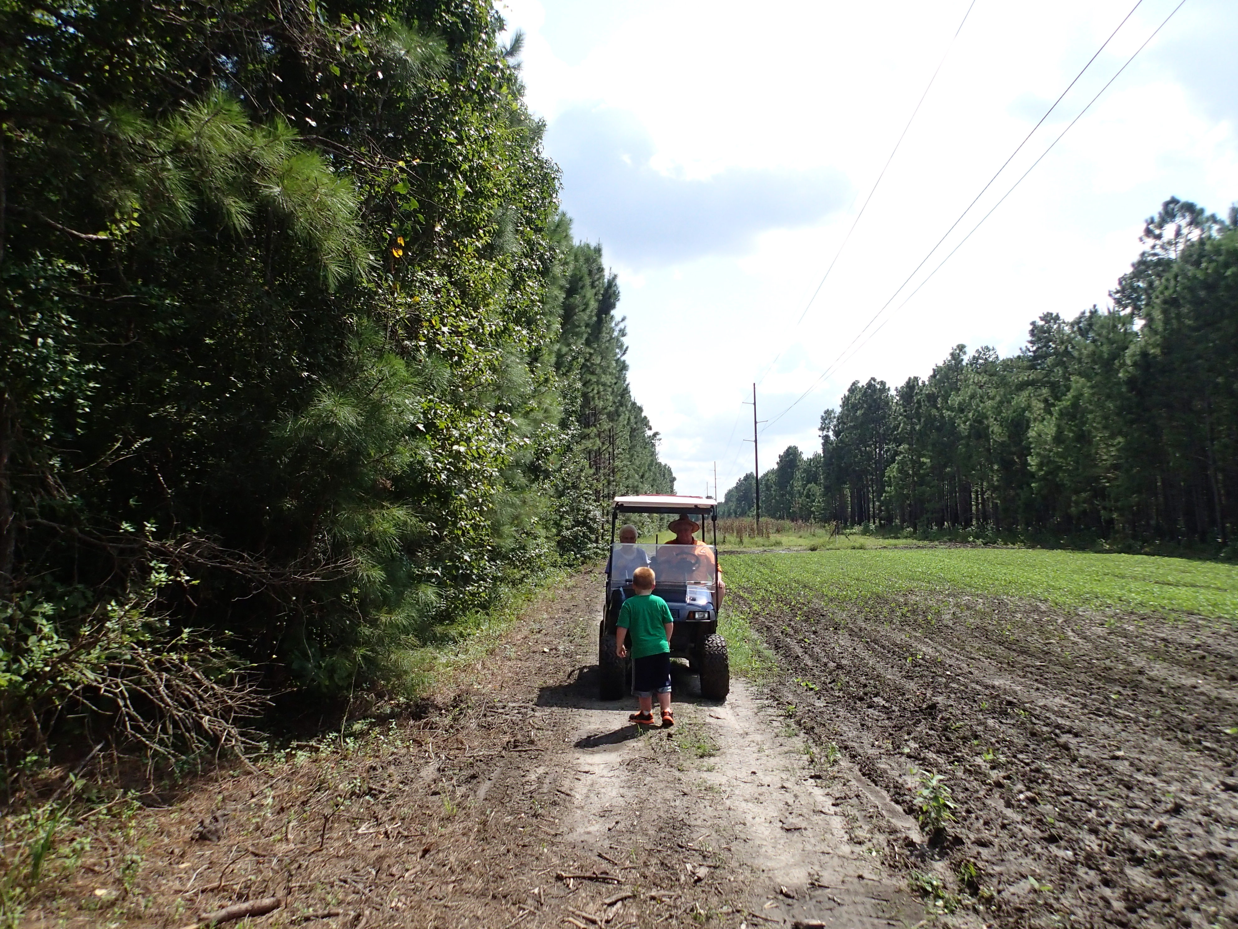
black river cypress plantation
2012-08-31 at 14-07-20.jpg

2012-08-31 at 13-58-20.jpg

country store

roadside memorial
Topographic Map of Earle, SC, USA
Find elevation by address:

Places near Earle, SC, USA:
321 Powell Loop
82 Cherry Hill Loop
60 Sarah Ave
700 W Main St
501 W Main St
Andrews
501 E Main St
Buster Taylor Drive
Gapway Rd, Andrews, SC, USA
Saints Delight Rd, Andrews, SC, USA
419 Wee Tee Rd
Saints Delight Road
County Rd S-22-, Georgetown, SC, USA
Williamsburg County
6 Millwood Rd, Kingstree, SC, USA
Jamestown
1111 Millwood Loop
233 Orie Ln
233 Orie Ln
233 Orie Ln
Recent Searches:
- Elevation of Woolwine, VA, USA
- Elevation of Lumagwas Diversified Farmers Multi-Purpose Cooperative, Lumagwas, Adtuyon, RV32+MH7, Pangantucan, Bukidnon, Philippines
- Elevation of Homestead Ridge, New Braunfels, TX, USA
- Elevation of Orchard Road, Orchard Rd, Marlborough, NY, USA
- Elevation of 12 Hutchinson Woods Dr, Fletcher, NC, USA
- Elevation of Holloway Ave, San Francisco, CA, USA
- Elevation of Norfolk, NY, USA
- Elevation of - San Marcos Pass Rd, Santa Barbara, CA, USA
- Elevation of th Pl SE, Issaquah, WA, USA
- Elevation of 82- D Rd, Captain Cook, HI, USA