Elevation of G Street, G St, Ocean Park, WA, USA
Location: United States > Washington > Pacific County > Ocean Park >
Longitude: -124.05810
Latitude: 46.5395091
Elevation: 6m / 20feet
Barometric Pressure: 101KPa
Elevation Map:
Satellite Map:
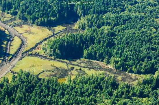
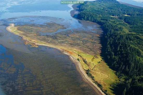
Related Photos:
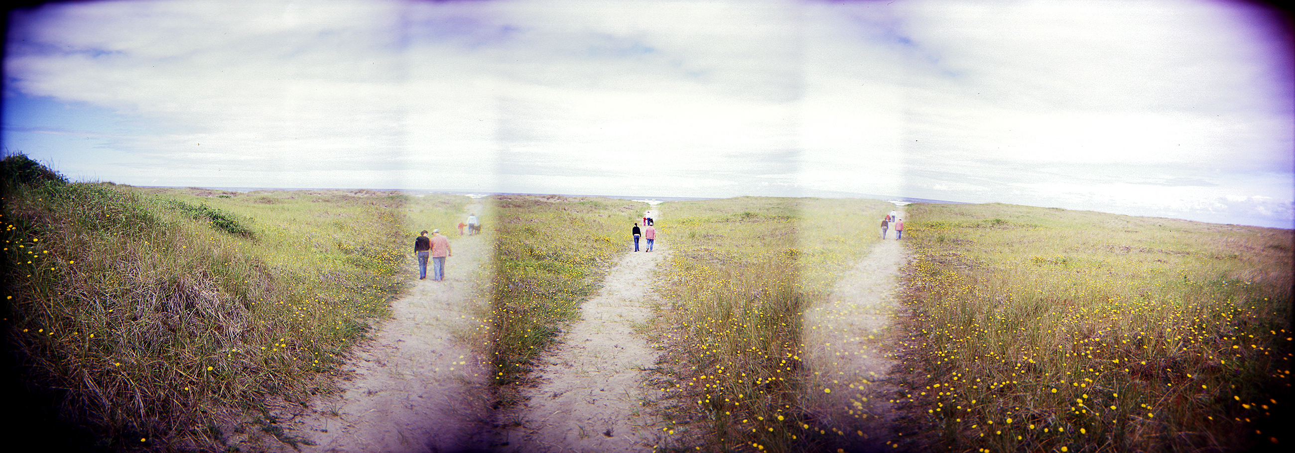
dunes panorama
19677.jpg
17994.jpg

19676.jpg

18208.jpg

Sea View
18316.jpg
18021.jpg
18266.jpg
19277.jpg
18260.jpg
19357.jpg
19299.jpg
19246.jpg
18005.jpg
19737.jpg

R/V Hero, Bay Center WA
18217.jpg
19242.jpg
18263.jpg
18071.jpg
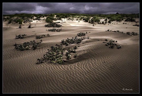
Dunes #1 - Klipsan Beach, Washington
365/77 - 3/18/13 - HIGH KEY is the topic for Monday 18th March 2013
18115.jpg
19323.jpg
Long Beach

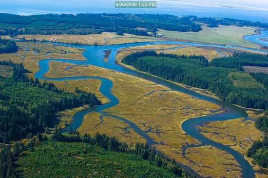
Estuary, Niawiakum River Natural Area, Washington, Winter 2017

Coastline, Nemah Road, Willapa Bay, Washington, Winter 2017
366/250 - 9/6/12 - Sunset on the Pacific Ocean!

365/31 - 1/31/13 - Immortal, the beach and water will always be here, wish the plastic junk was'nt!

Slough, Government Road, Pacific County, Washington, Winter 2017
Apple Tree
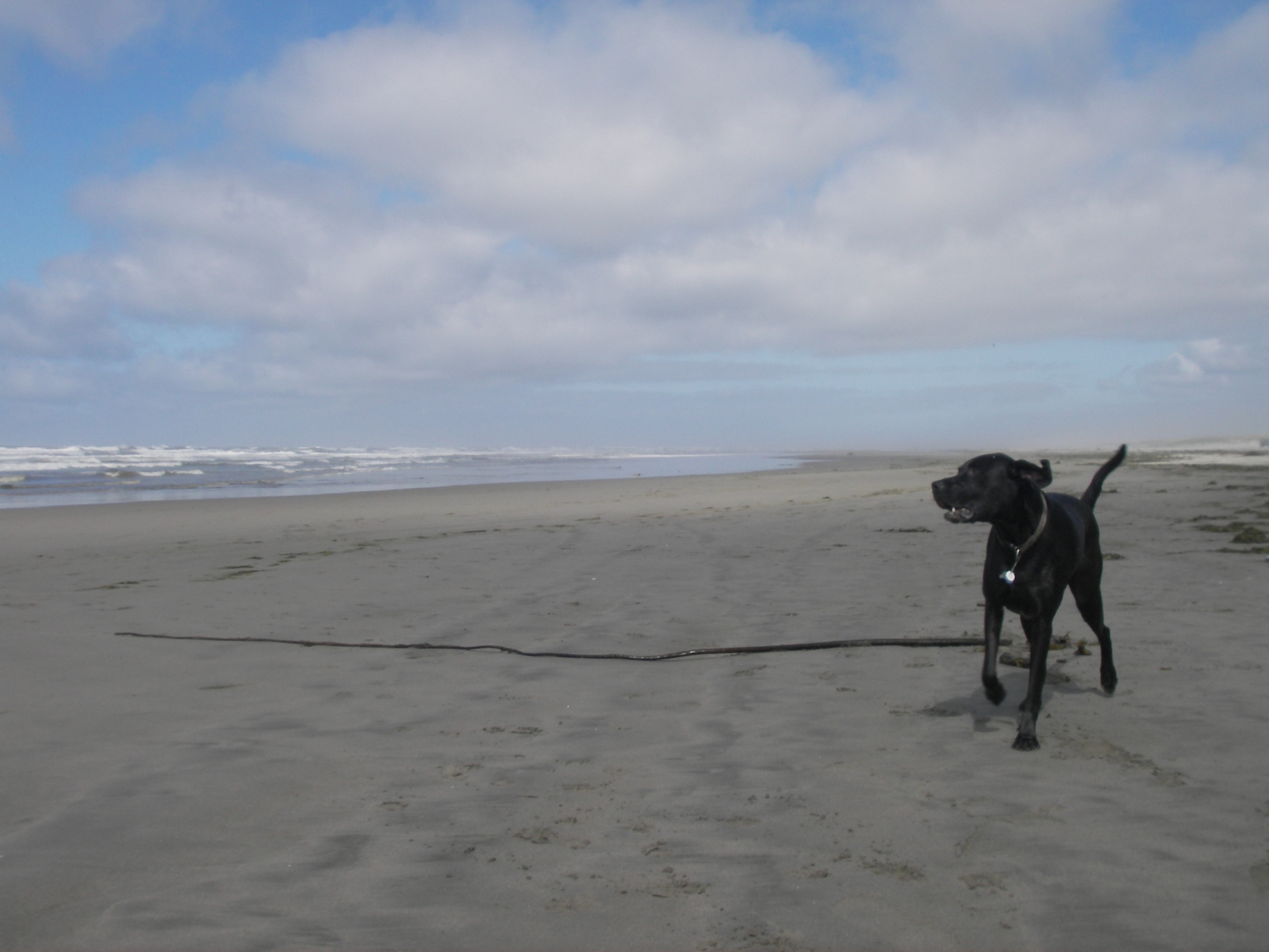
A seaweed huntin' dog

Slough, Nemah Flats, Pacific County, Washington, Winter 2017
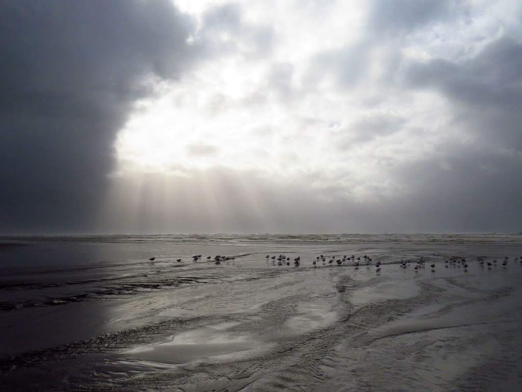
365/53 - 2/22/13 - Fun stormy day at the beach!

20130630-036
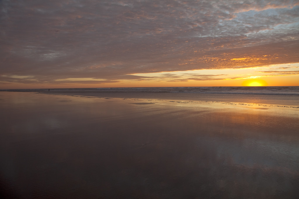
Ocean Park Sunset
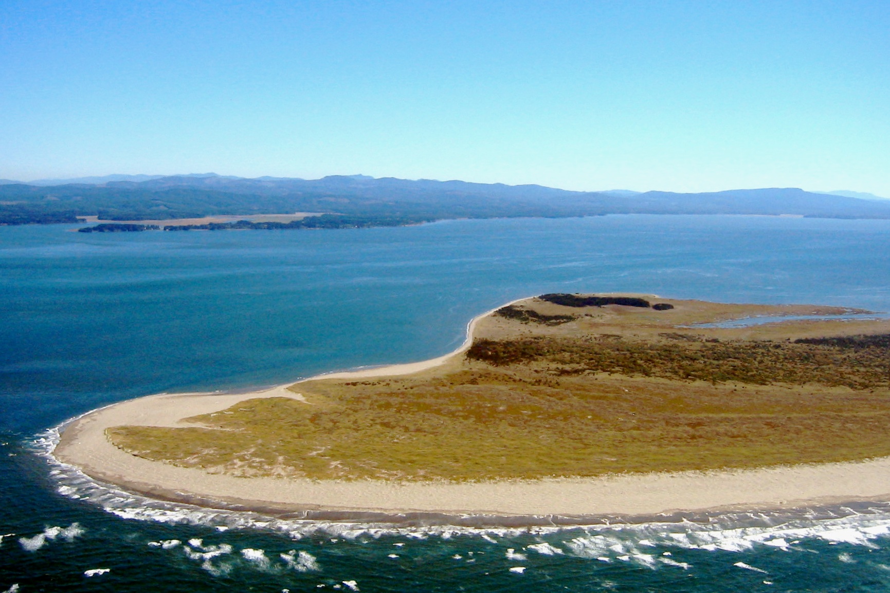
41 or 247 Willapa - Leadbetter Point

20130630-038
8/12/12 "DELICATE"
Topographic Map of G Street, G St, Ocean Park, WA, USA
Find elevation by address:

Places near G Street, G St, Ocean Park, WA, USA:
32708 I St
33101 J Pl
J Place
33101 K Pl
33311 J Pl
31710 H Pl
Surfside Golf Course
1500 321st Pl
31310 G St
34106 J Pl
31402 J Pl
34401 G St
31007 G St
30909 J Pl
34643 J Pl
34643 J Pl
30903 J Pl
30906 J Pl
30902 J Pl
30809 J Pl
Recent Searches:
- Elevation of Hickory Blvd, Bonita Springs, FL, USA
- Elevation of Lalagbene, Bayelsa, Nigeria
- Elevation of Ogbosuware Health Centre, 2WWJ+4PJ, Lalagbene, Bayelsa, Nigeria
- Elevation of Duckhorn Ct, Las Vegas, NV, USA
- Elevation of Garretts Run Rd, Ford City, PA, USA
- Elevation of N WI-55, Freedom, WI, USA
- Elevation map of Hadiya, Ethiopia
- Elevation of Hosaina, Ethiopia
- Elevation of Verde Terrace, North Port, FL, USA
- Elevation of US-, Leesburg, FL, USA