Elevation of Fremont Pass, Utah, USA
Location: United States > Utah > Garfield County > Panguitch >
Longitude: -112.45743
Latitude: 38.0833074
Elevation: 2293m / 7523feet
Barometric Pressure: 77KPa
Elevation Map:
Satellite Map:
Related Photos:
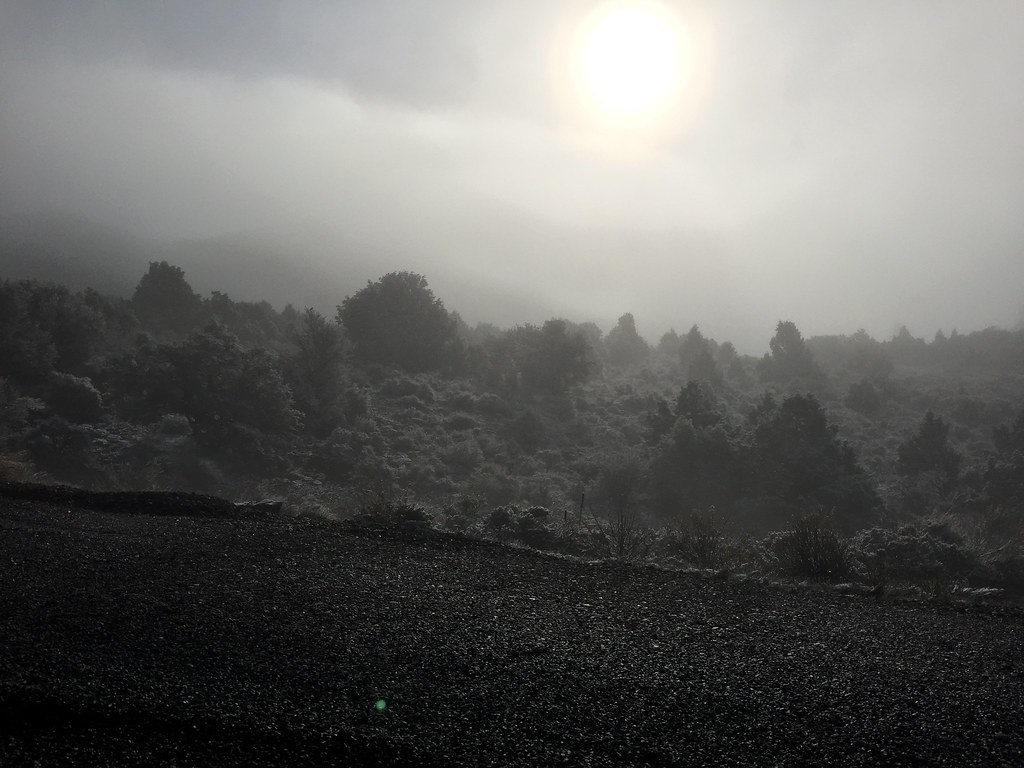
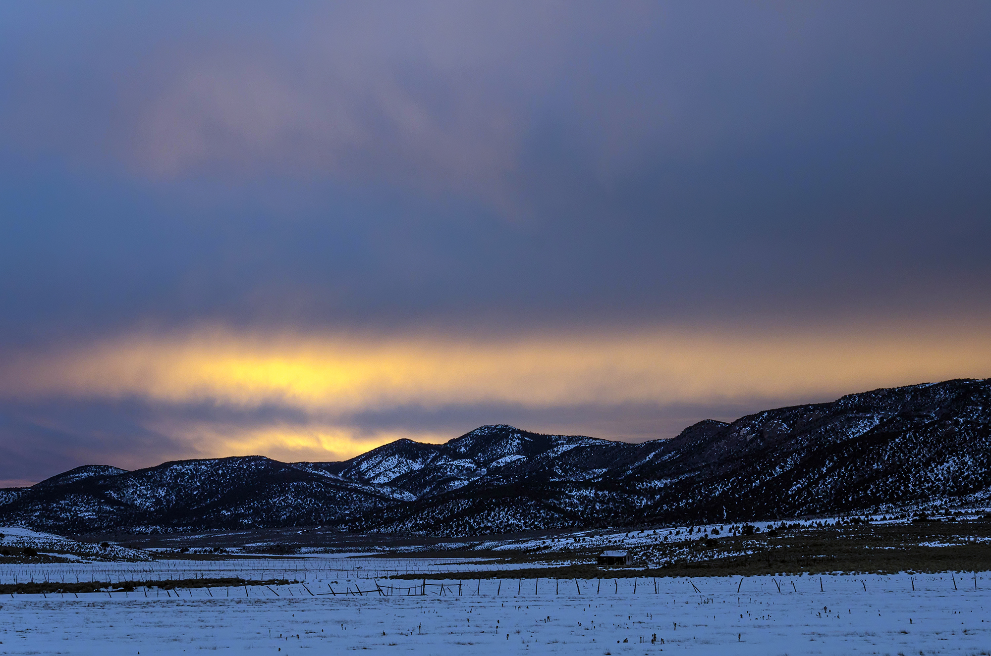
Snow and fog on highway 20 north of Panguitch, Utah. April 2017.
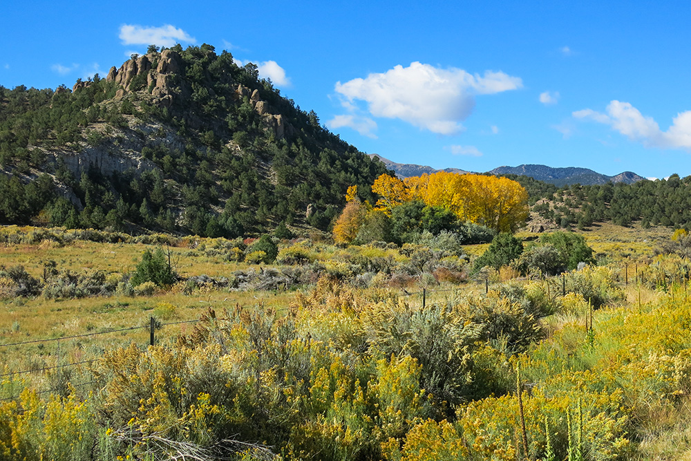
Splash Of Color

Truck_General_Scenic_081411_LR-55.jpg
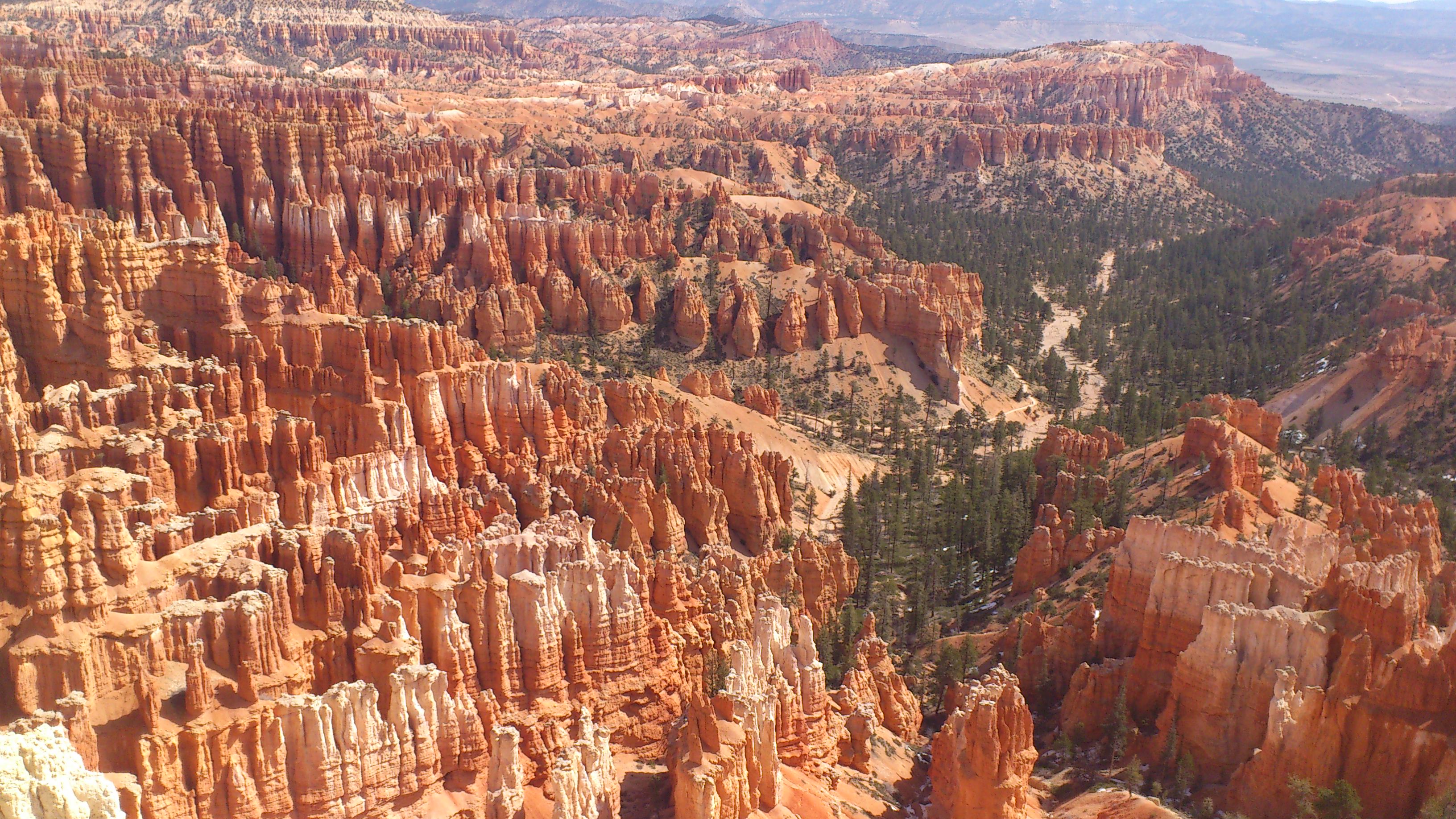
Bryce Canyon
Camera Roll-869
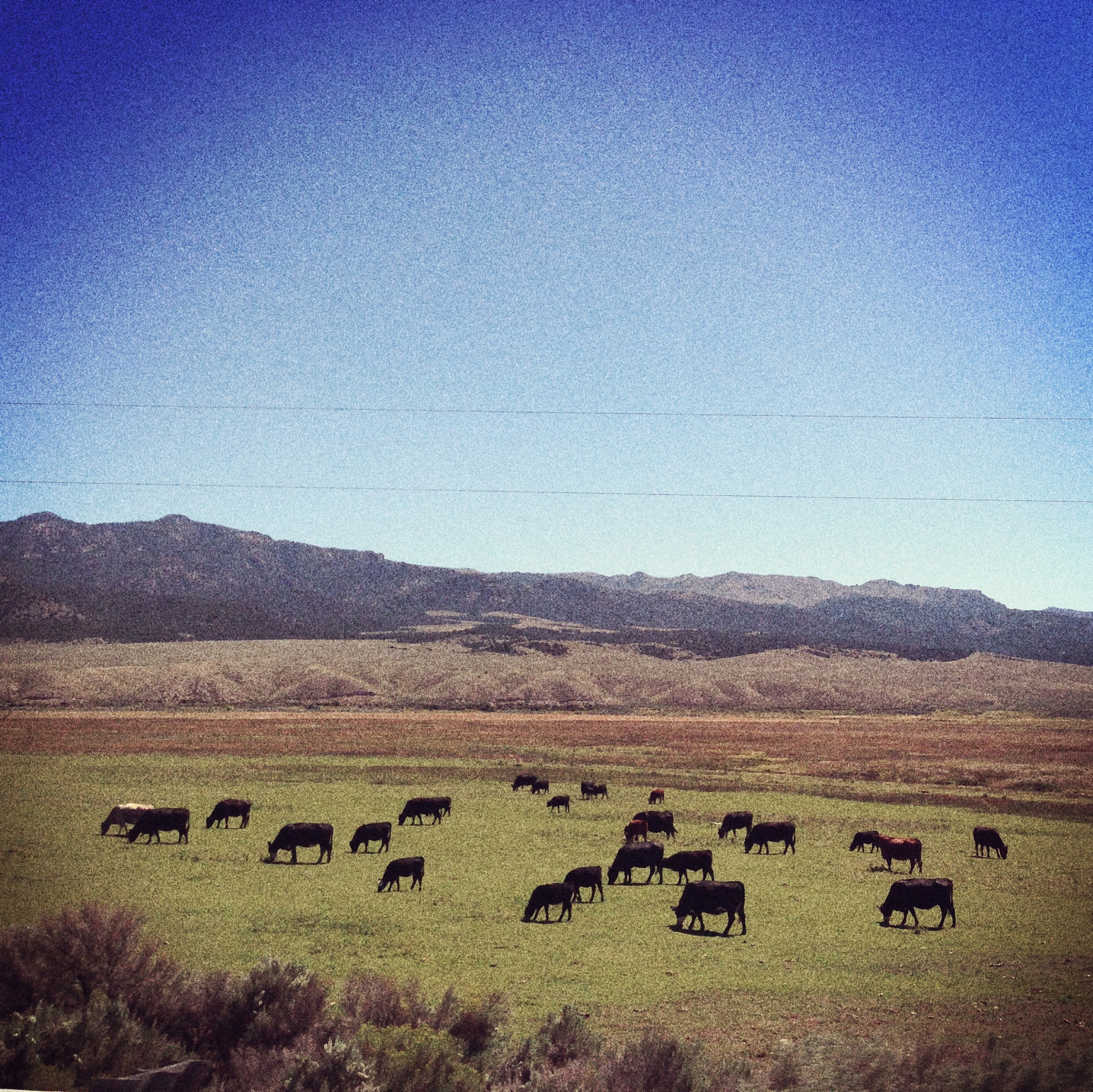
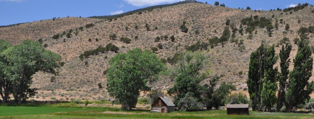
Lucky cattle grazing in beautiful Utah
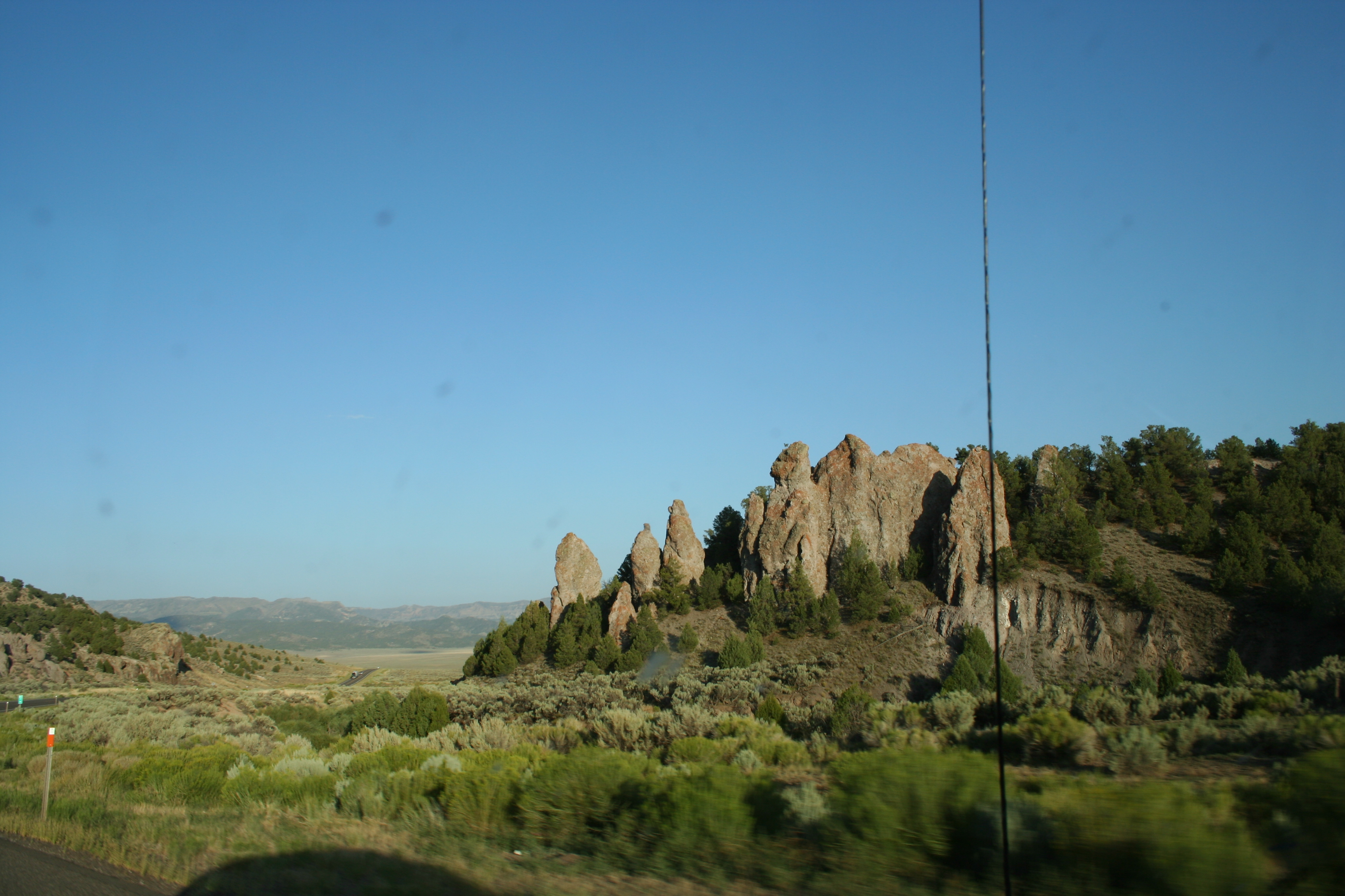
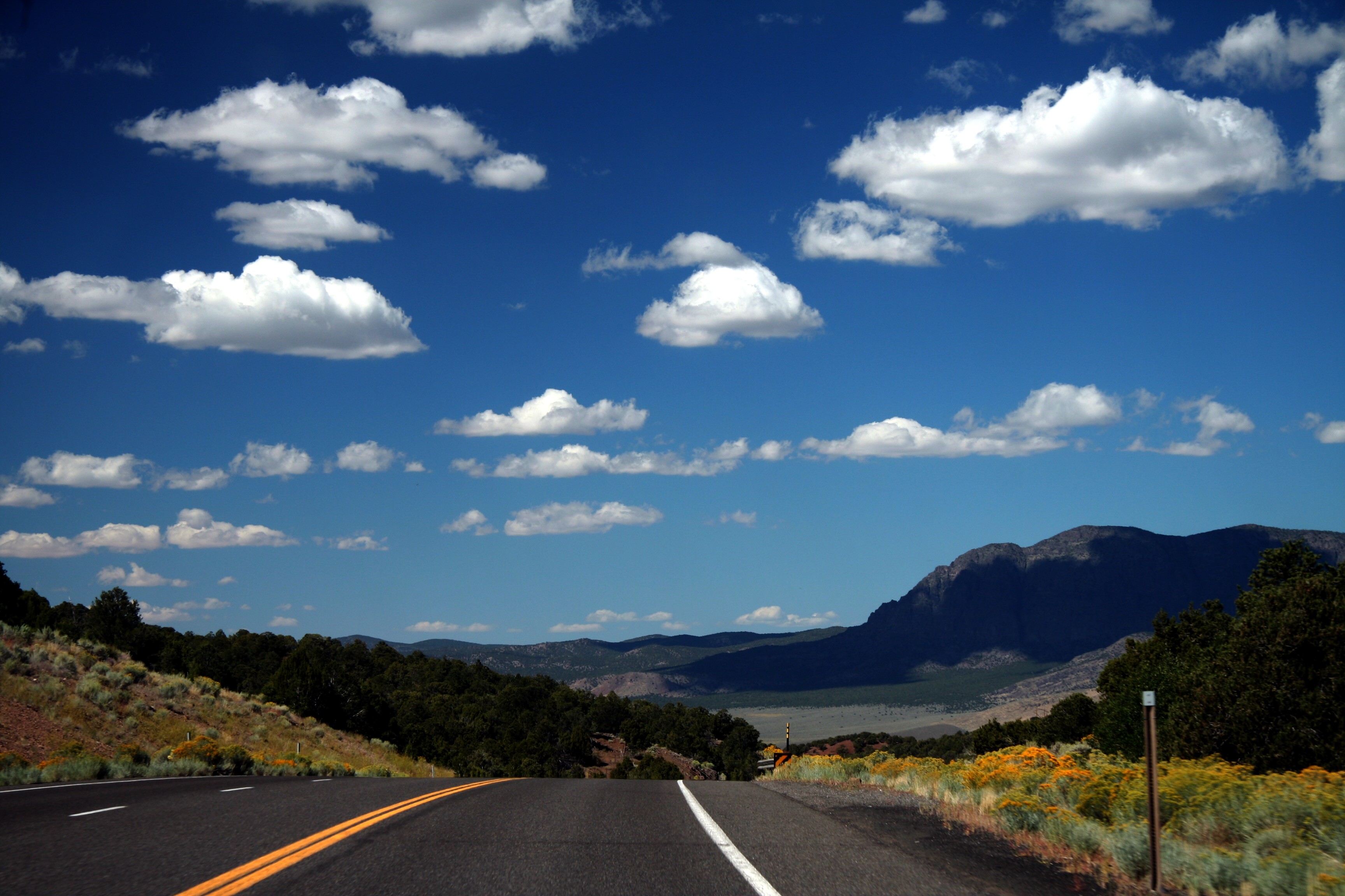
US 20 to US 89 in Central Utah

Bryce and Zion 2015-1496.jpg
20160416 000526 1SL6
US 20 to US 89 in Central Utah
Circleville Canyon
Garfield County, Utah
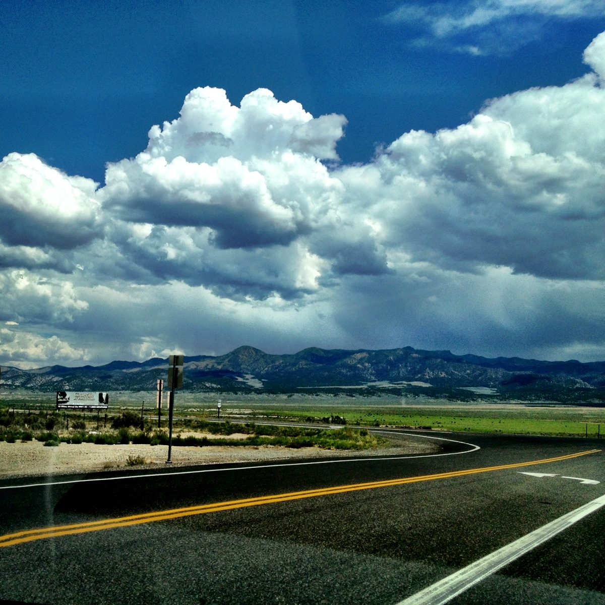
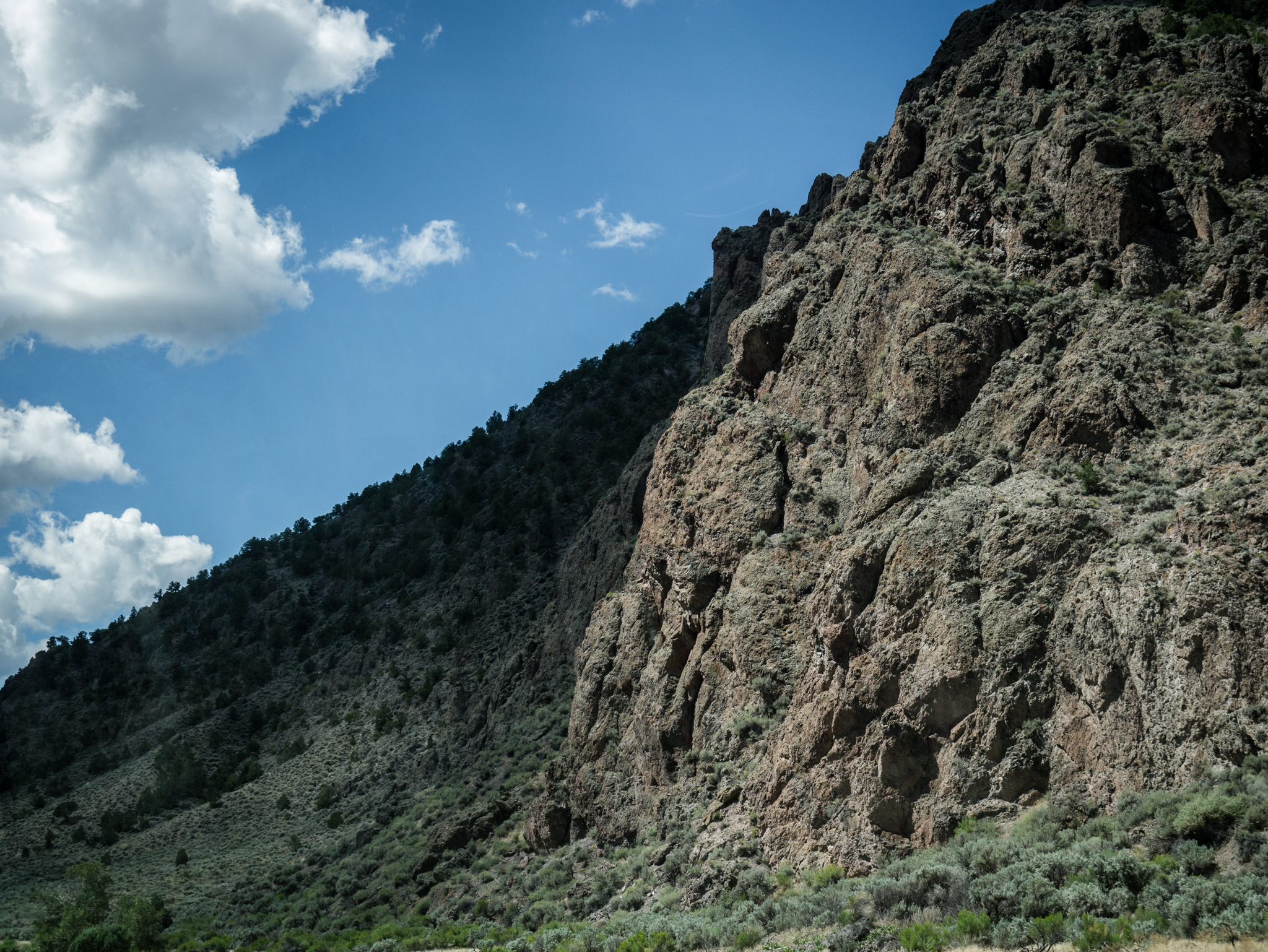
Highway 20 - Utah
US 20 to US 89 in Central Utah
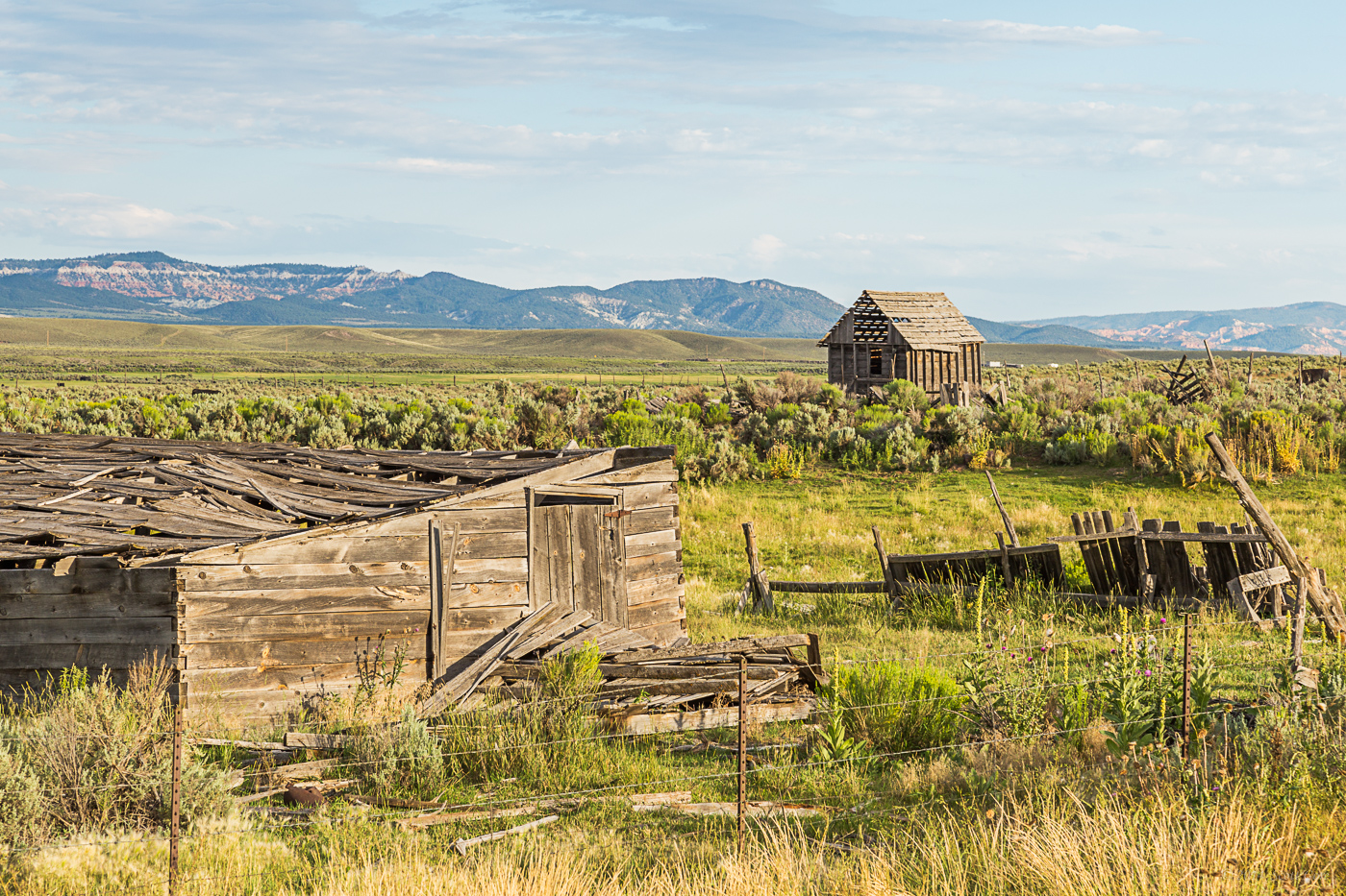
Childhood home of Sundance Kid 2
Bryce Canyon National Park
Topographic Map of Fremont Pass, Utah, USA
Find elevation by address:

Places near Fremont Pass, Utah, USA:
Kents Lake Road
Marysvale
Little Meadows
Castle Rock Campground
Sam Stowe Campground
Sevier
447 E 800 S
West Center Street
Monroe
23 E S, Monroe, UT, USA
105 S 200 E
Jvph+xh
Koosharem Road
Koosharem
Kanosh
Sorenson's Ranch School
Pvxw+rv
Utah 24
W S, Kanosh, UT, USA
Richfield
Recent Searches:
- Elevation of Spaceport America, Co Rd A, Truth or Consequences, NM, USA
- Elevation of Warwick, RI, USA
- Elevation of Fern Rd, Whitmore, CA, USA
- Elevation of 62 Abbey St, Marshfield, MA, USA
- Elevation of Fernwood, Bradenton, FL, USA
- Elevation of Felindre, Swansea SA5 7LU, UK
- Elevation of Leyte Industrial Development Estate, Isabel, Leyte, Philippines
- Elevation of W Granada St, Tampa, FL, USA
- Elevation of Pykes Down, Ivybridge PL21 0BY, UK
- Elevation of Jalan Senandin, Lutong, Miri, Sarawak, Malaysia