Elevation of Foard County, TX, USA
Location: United States > Texas >
Longitude: -99.767868
Latitude: 33.9865825
Elevation: 470m / 1542feet
Barometric Pressure: 96KPa
Elevation Map:
Satellite Map:
Related Photos:

White Plane Blue Sky

Copper Breaks State Park - Explore

Adventure: Copper Breaks State Park
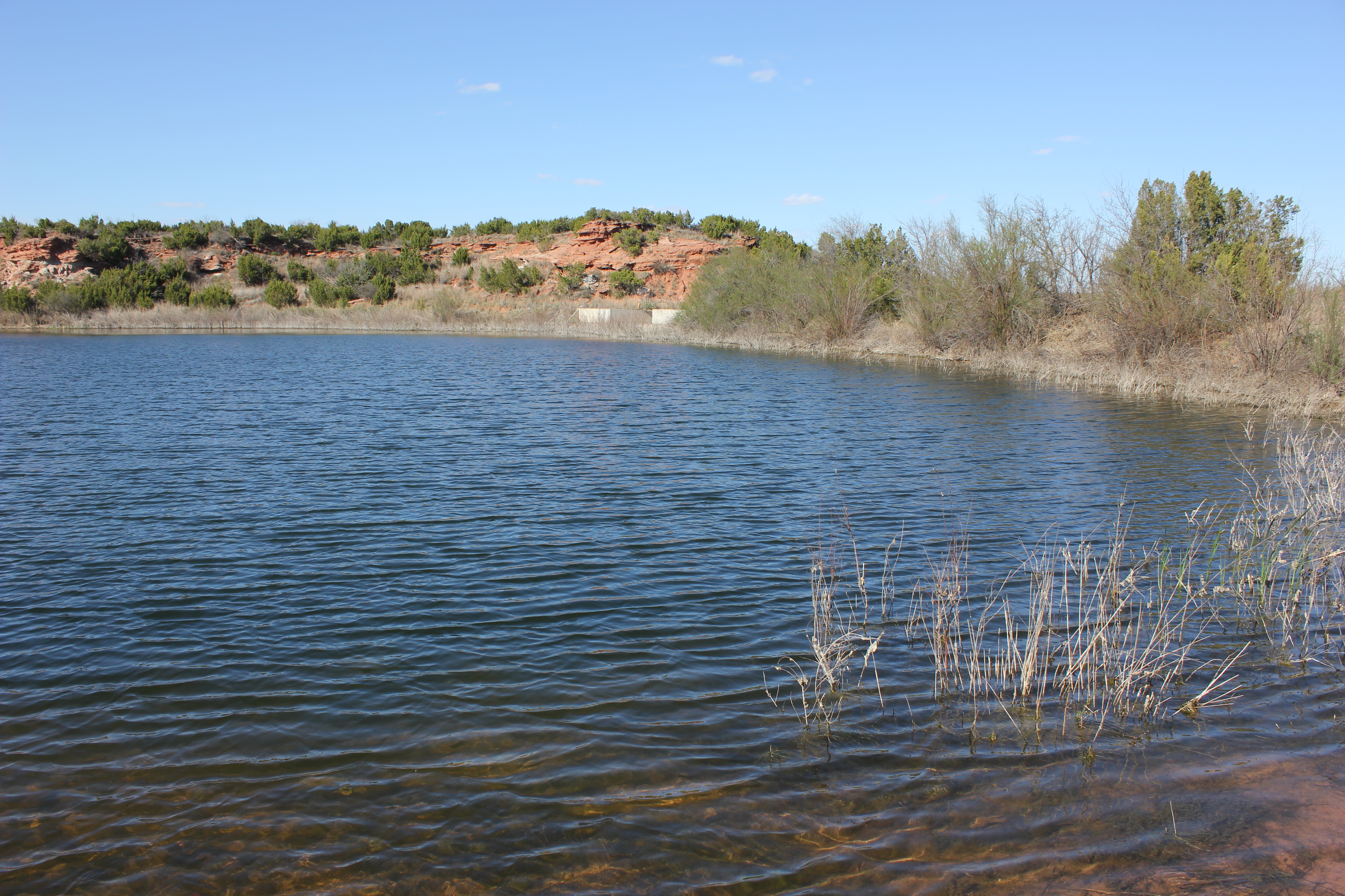
Copper Breaks State Park
Copper Breaks State Park

Copper Breaks State Park

Copper Breaks State Park

Adventure: Copper Breaks Dtate Park
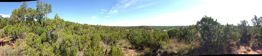
Adventure: Copper Breaks Dtate Park

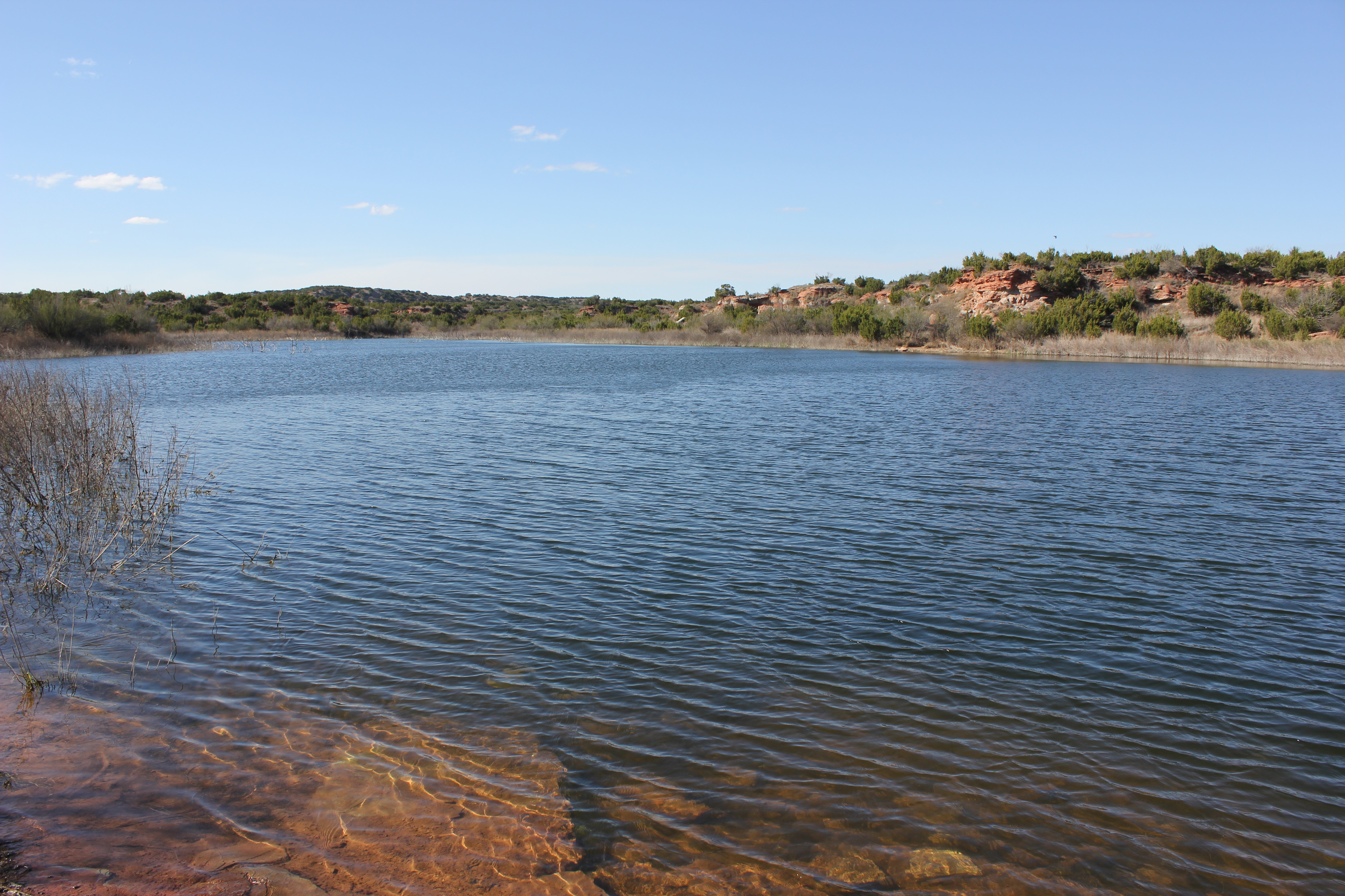
Copper Breaks State Park

Copper Breaks State Park

Copper Breaks State Park

Copper Breaks State Park
Topographic Map of Foard County, TX, USA
Find elevation by address:

Places near Foard County, TX, USA:
FM 98, Crowell, TX, USA
Hardeman County
Quanah
FM, Vernon, TX, USA
Chillicothe
Wilbarger County
Vernon
Bean Hill Rd, Electra, TX, USA
Jackson County
Duke
Primrose Ave, Davidson, OK, USA
Davidson
Harrold
Altus
Electra
401 N Main St
TX-, Electra, TX, USA
Mangum
TX-, Electra, TX, USA
Tillman County
Recent Searches:
- Elevation of 6 Rue Jules Ferry, Beausoleil, France
- Elevation of Sattva Horizon, 4JC6+G9P, Vinayak Nagar, Kattigenahalli, Bengaluru, Karnataka, India
- Elevation of Great Brook Sports, Gold Star Hwy, Groton, CT, USA
- Elevation of 10 Mountain Laurels Dr, Nashua, NH, USA
- Elevation of 16 Gilboa Ln, Nashua, NH, USA
- Elevation of Laurel Rd, Townsend, TN, USA
- Elevation of 3 Nestling Wood Dr, Long Valley, NJ, USA
- Elevation of Ilungu, Tanzania
- Elevation of Yellow Springs Road, Yellow Springs Rd, Chester Springs, PA, USA
- Elevation of Rēzekne Municipality, Latvia