Elevation of Hardeman County, TX, USA
Location: United States > Texas >
Longitude: -99.634135
Latitude: 34.2177242
Elevation: 452m / 1483feet
Barometric Pressure: 96KPa
Elevation Map:
Satellite Map:
Related Photos:

the front

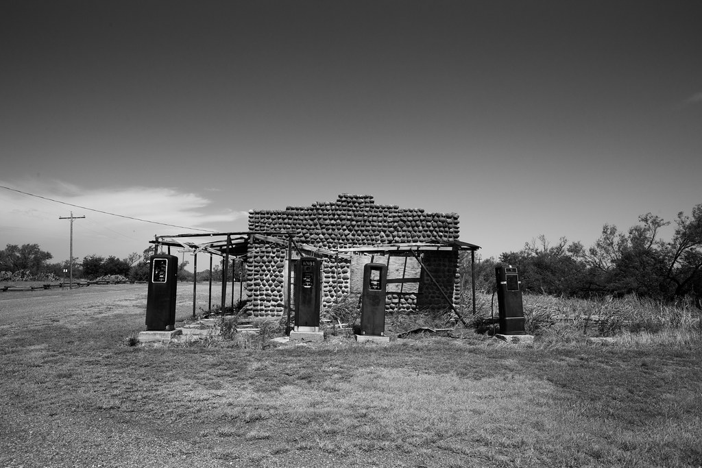
ghosts in the machine

Chillicothe Road

Tornado Damage Grain Silo in Chillicothe Prairie

Chillicothe Prairie

Golden Fields of Chillicothe Prairie
Chillicothe, TX
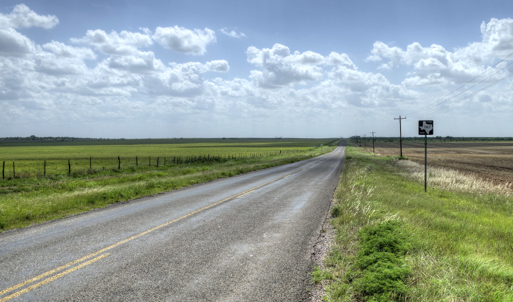
Country road

The Medicine Mounds
Medicine Mound, Texas

Does this mean we are in west Texas, I'm thinking so.
Texas - Day 7 of 7

Double Arch
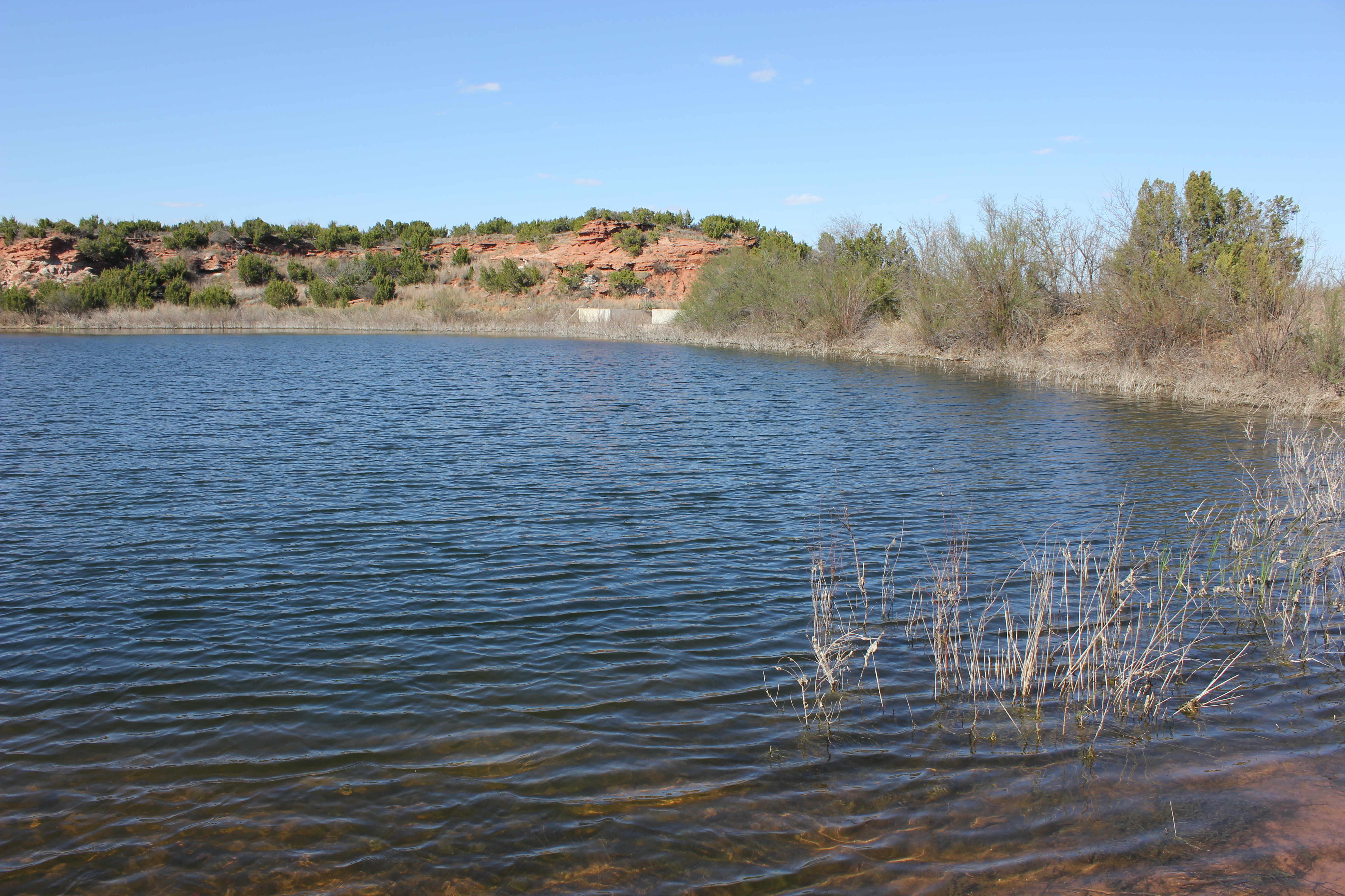
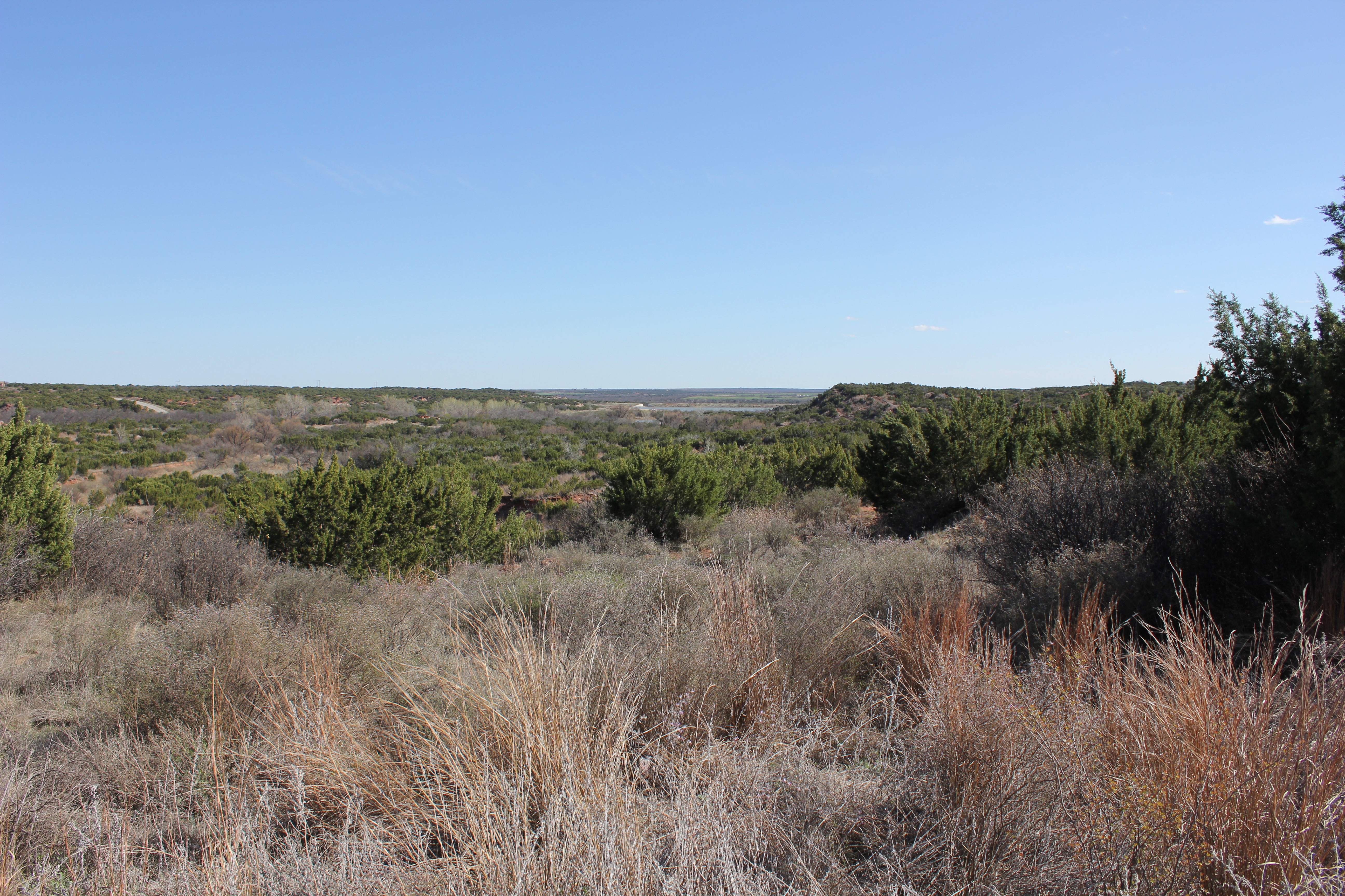
Copper Breaks State Park
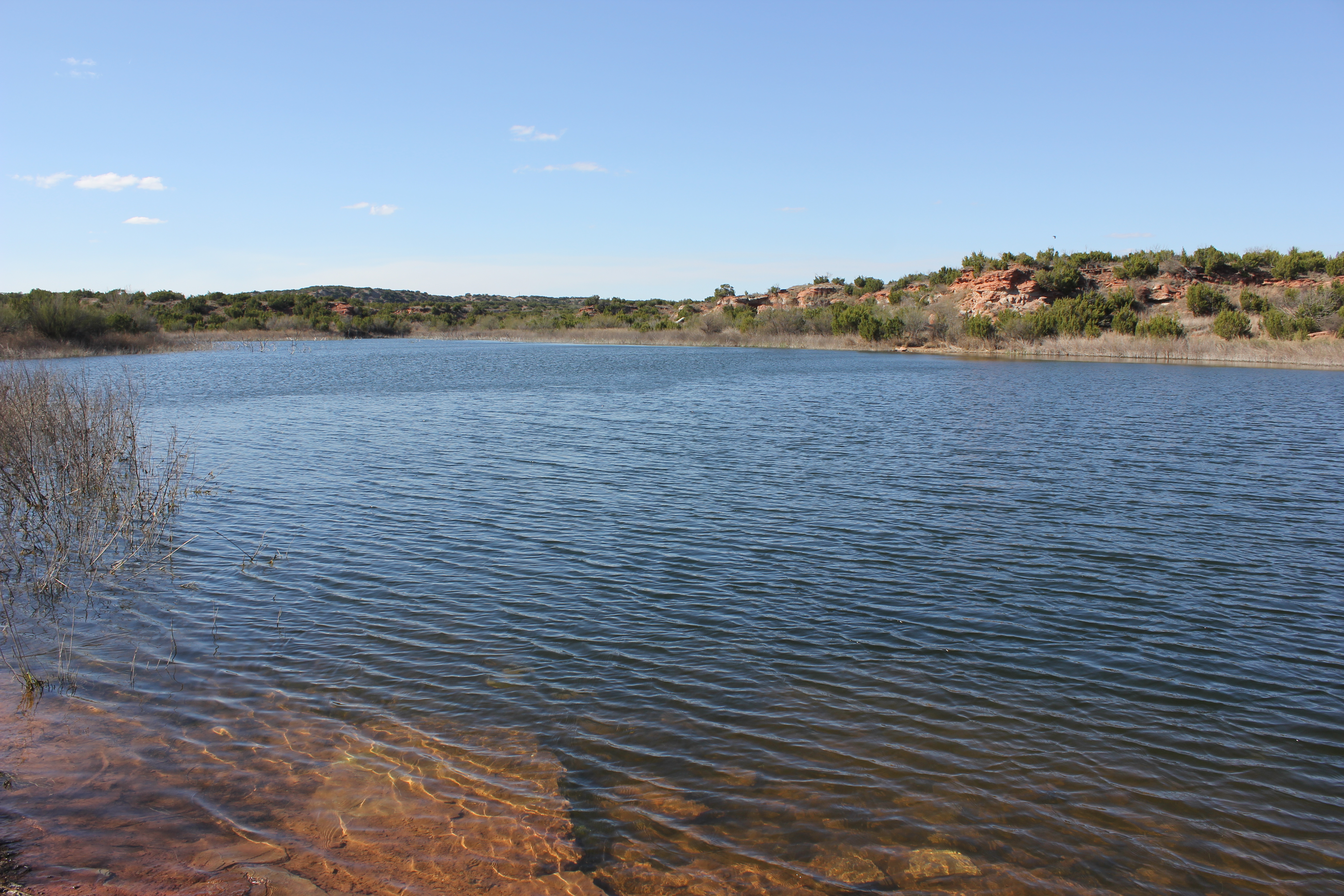
Copper Breaks State Park

Monty Dunn crew 4

Copper Breaks State Park
Coper Breaks State Park
Texas —> New Mexico

Copper Breaks State Park

Copper Breaks State Park

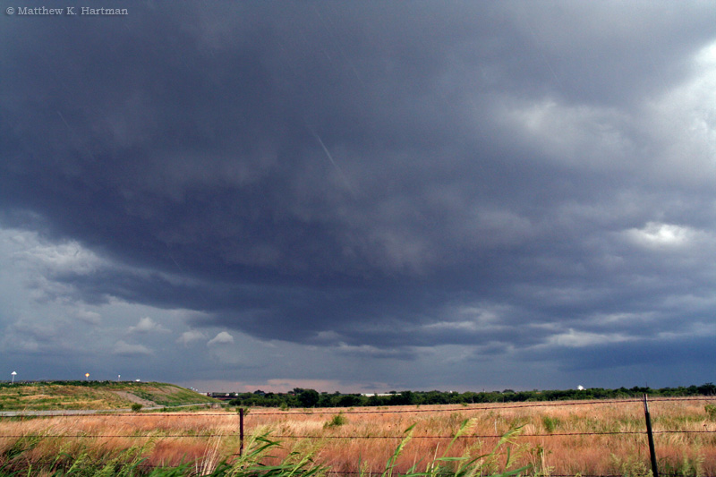
Mammatus Sunset

Copper Breaks State Park

Copper Breaks State Park
Topographic Map of Hardeman County, TX, USA
Find elevation by address:

Places in Hardeman County, TX, USA:
Places near Hardeman County, TX, USA:
Chillicothe
Quanah
FM 98, Crowell, TX, USA
Foard County
FM, Vernon, TX, USA
Vernon
Wilbarger County
Jackson County
Duke
Bean Hill Rd, Electra, TX, USA
Altus
Primrose Ave, Davidson, OK, USA
Davidson
Harrold
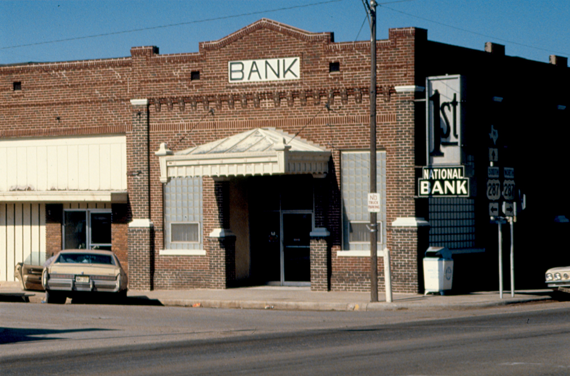
401 N Main St
Mangum
TX-, Electra, TX, USA
Greer County
Electra
Tillman County
Recent Searches:
- Elevation of Congressional Dr, Stevensville, MD, USA
- Elevation of Bellview Rd, McLean, VA, USA
- Elevation of Stage Island Rd, Chatham, MA, USA
- Elevation of Shibuya Scramble Crossing, 21 Udagawacho, Shibuya City, Tokyo -, Japan
- Elevation of Jadagoniai, Kaunas District Municipality, Lithuania
- Elevation of Pagonija rock, Kranto 7-oji g. 8"N, Kaunas, Lithuania
- Elevation of Co Rd 87, Jamestown, CO, USA
- Elevation of Tenjo, Cundinamarca, Colombia
- Elevation of Côte-des-Neiges, Montreal, QC H4A 3J6, Canada
- Elevation of Bobcat Dr, Helena, MT, USA