Elevation of TX-, Electra, TX, USA
Location: United States > Texas > Wilbarger County > Electra >
Longitude: -98.914742
Latitude: 34.091227
Elevation: 345m / 1132feet
Barometric Pressure: 97KPa
Elevation Map:
Satellite Map:
Related Photos:
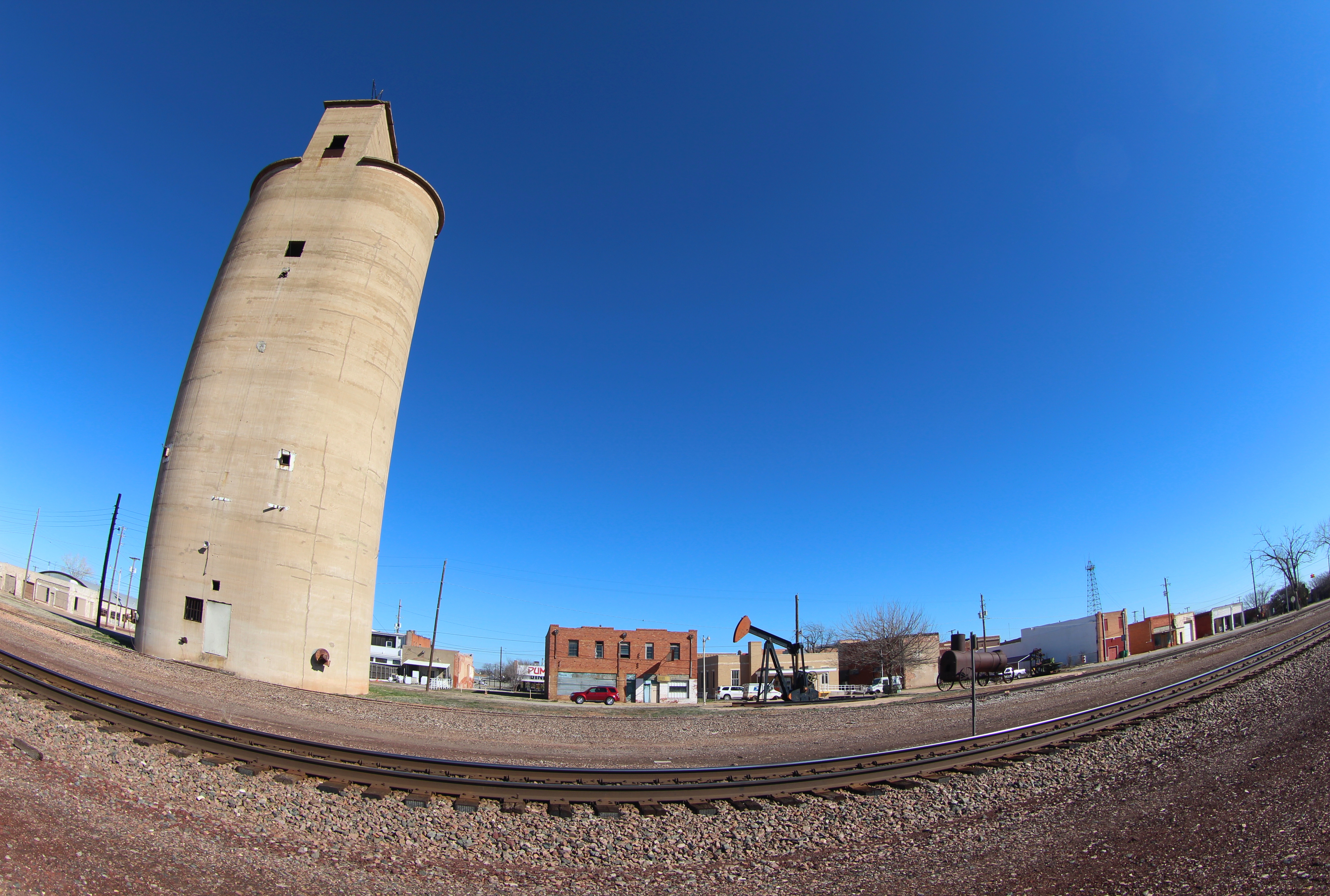
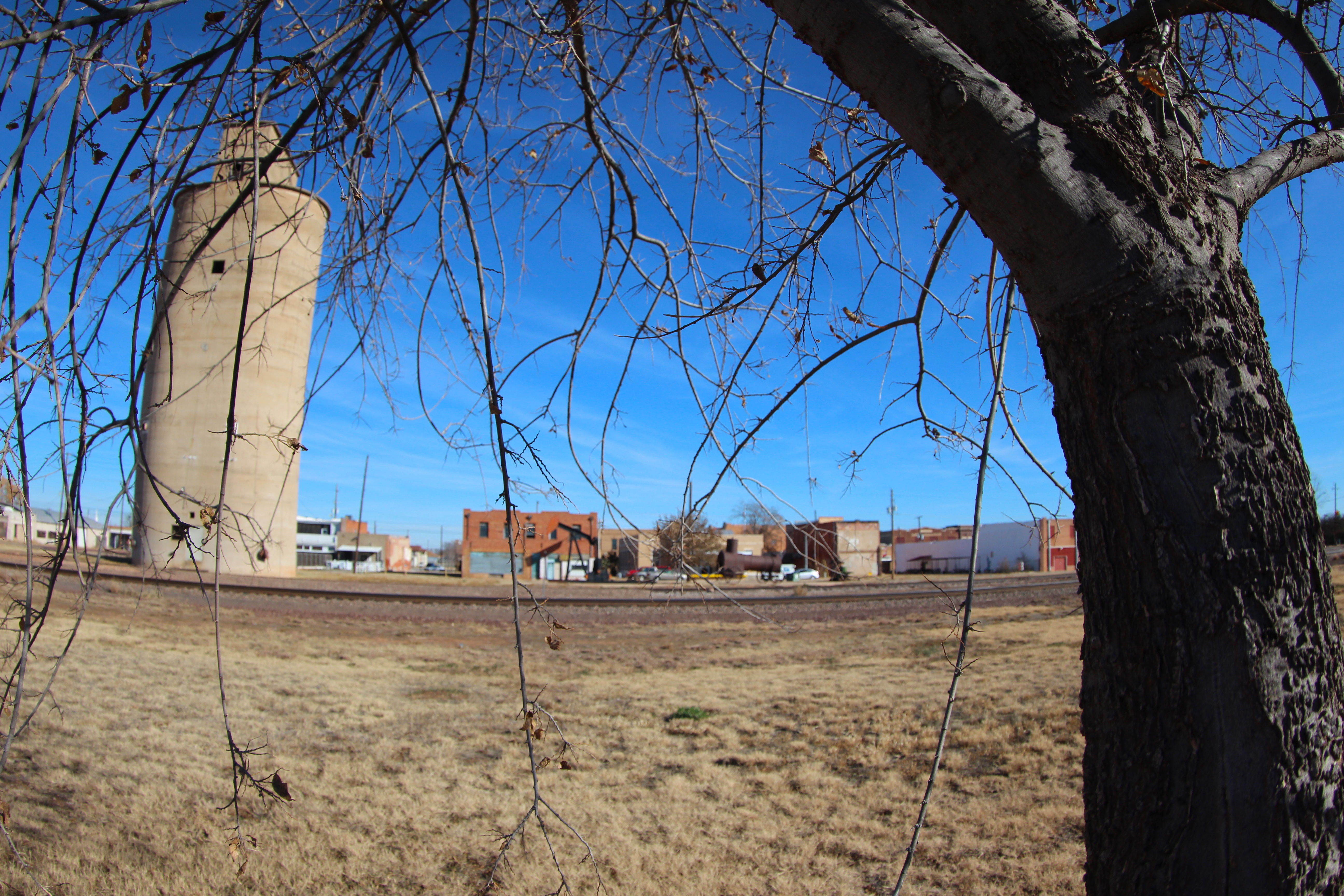
Electra TX
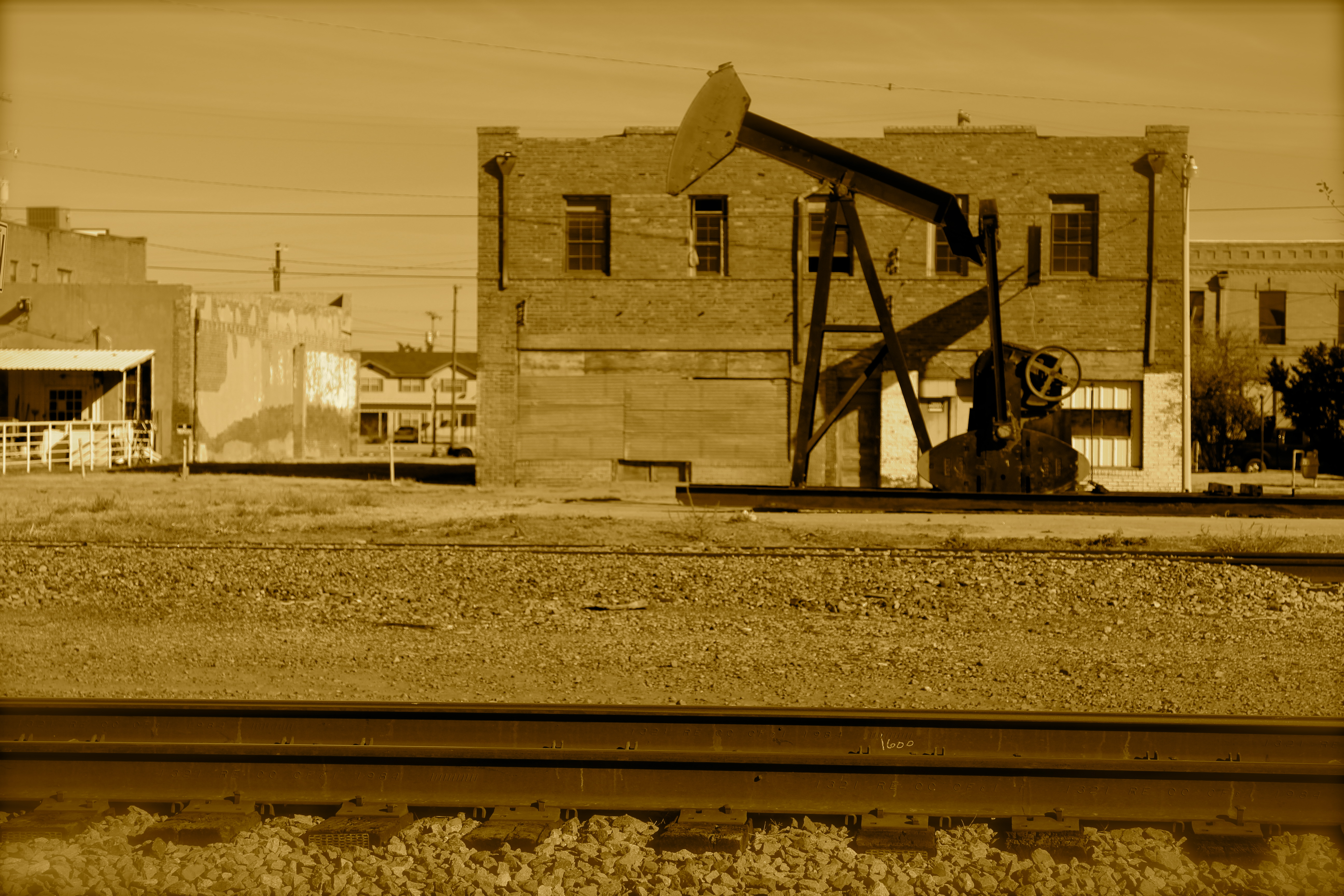
Downtown Electra TX
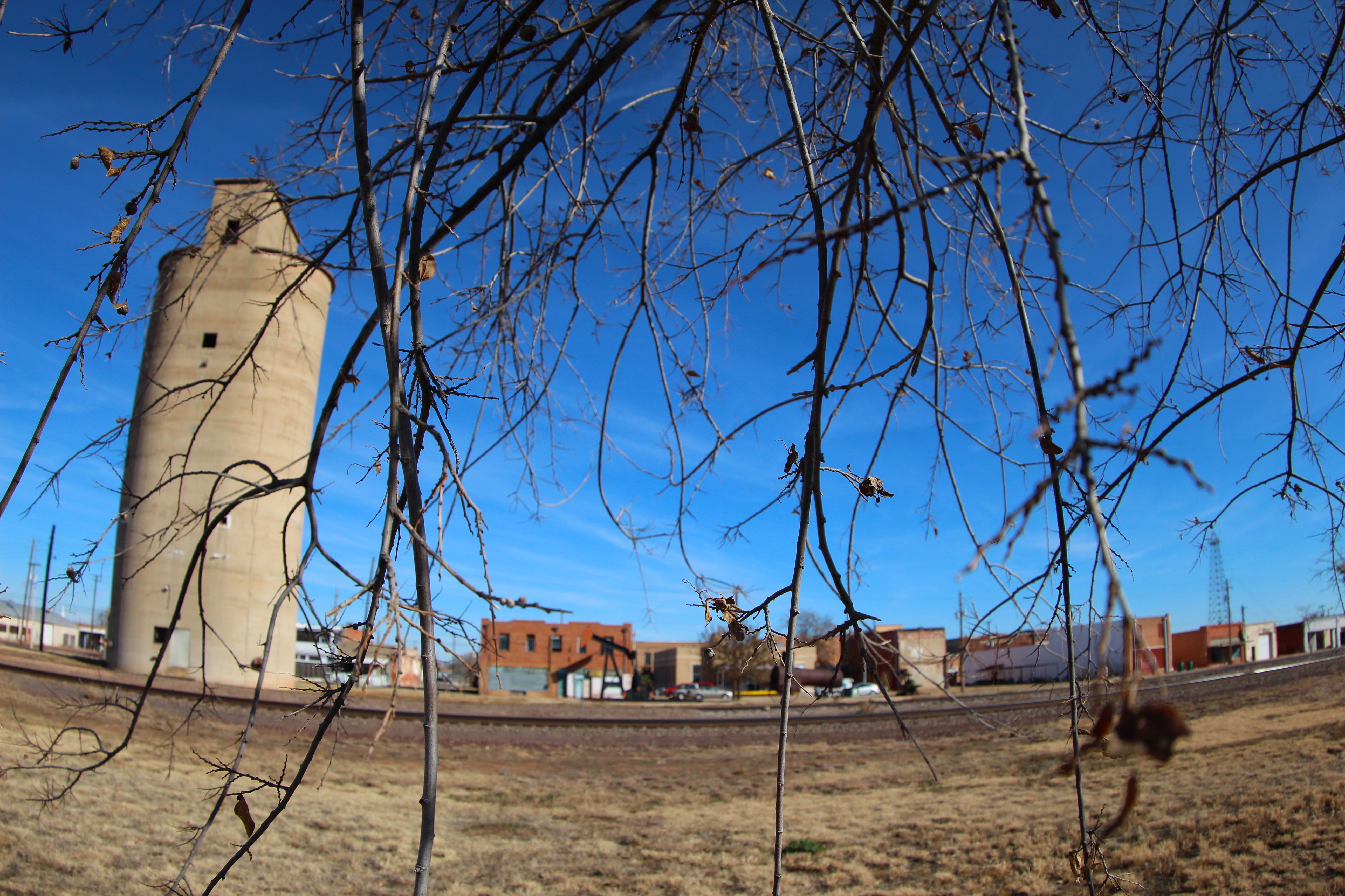
Electra TX
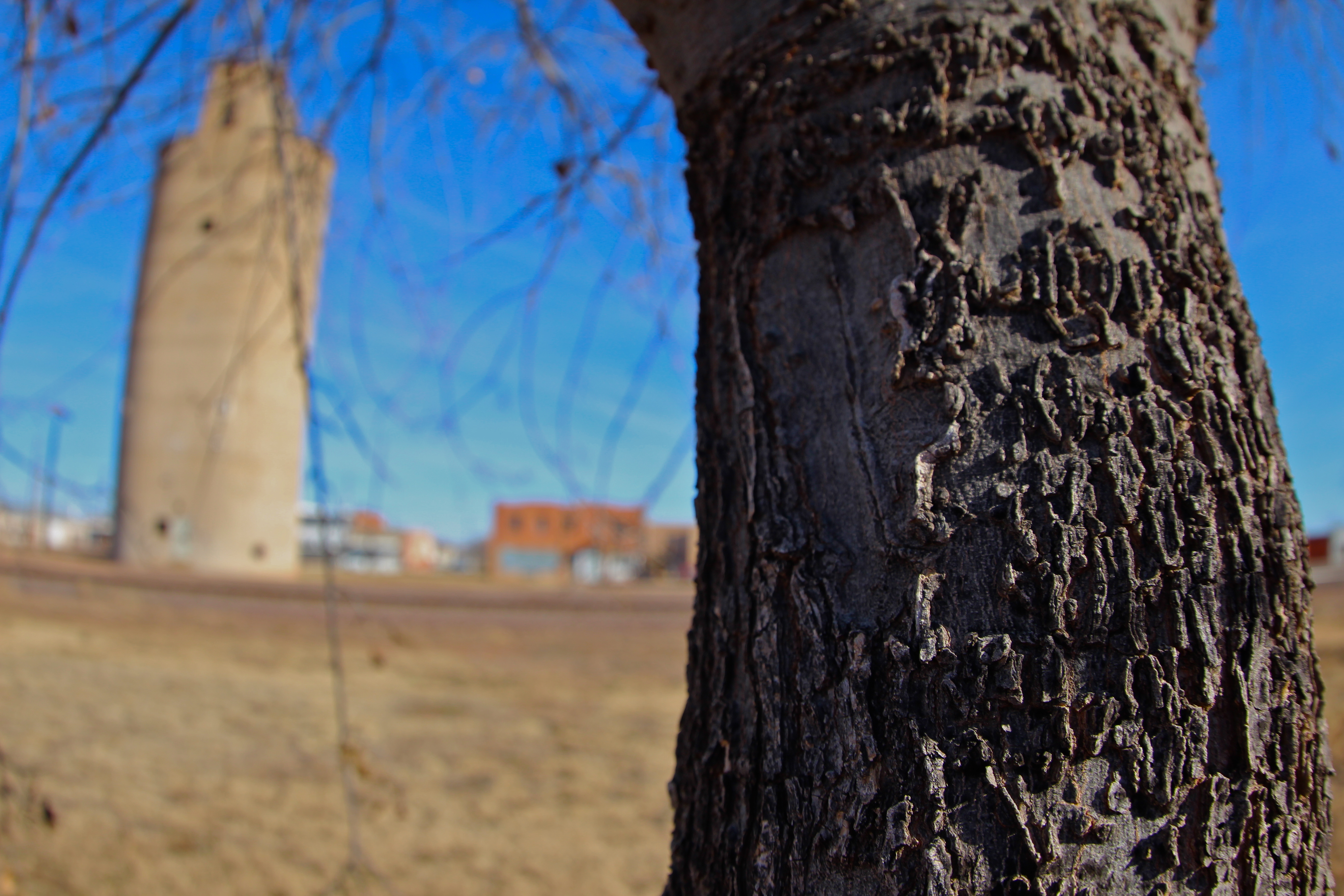
Tree bark in Electra TX
Electra TX
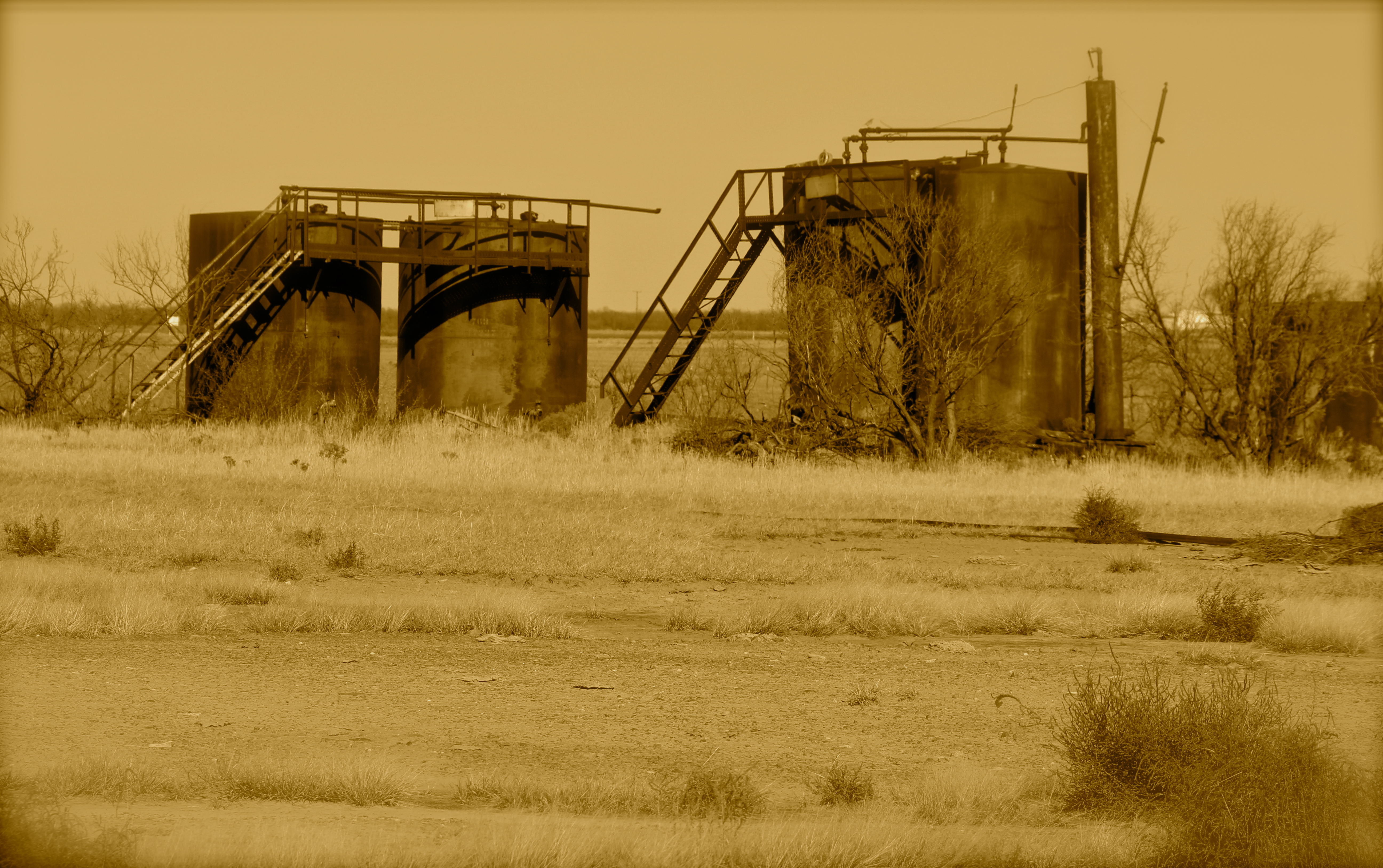
Abandoned oil tanks east of Electra TX

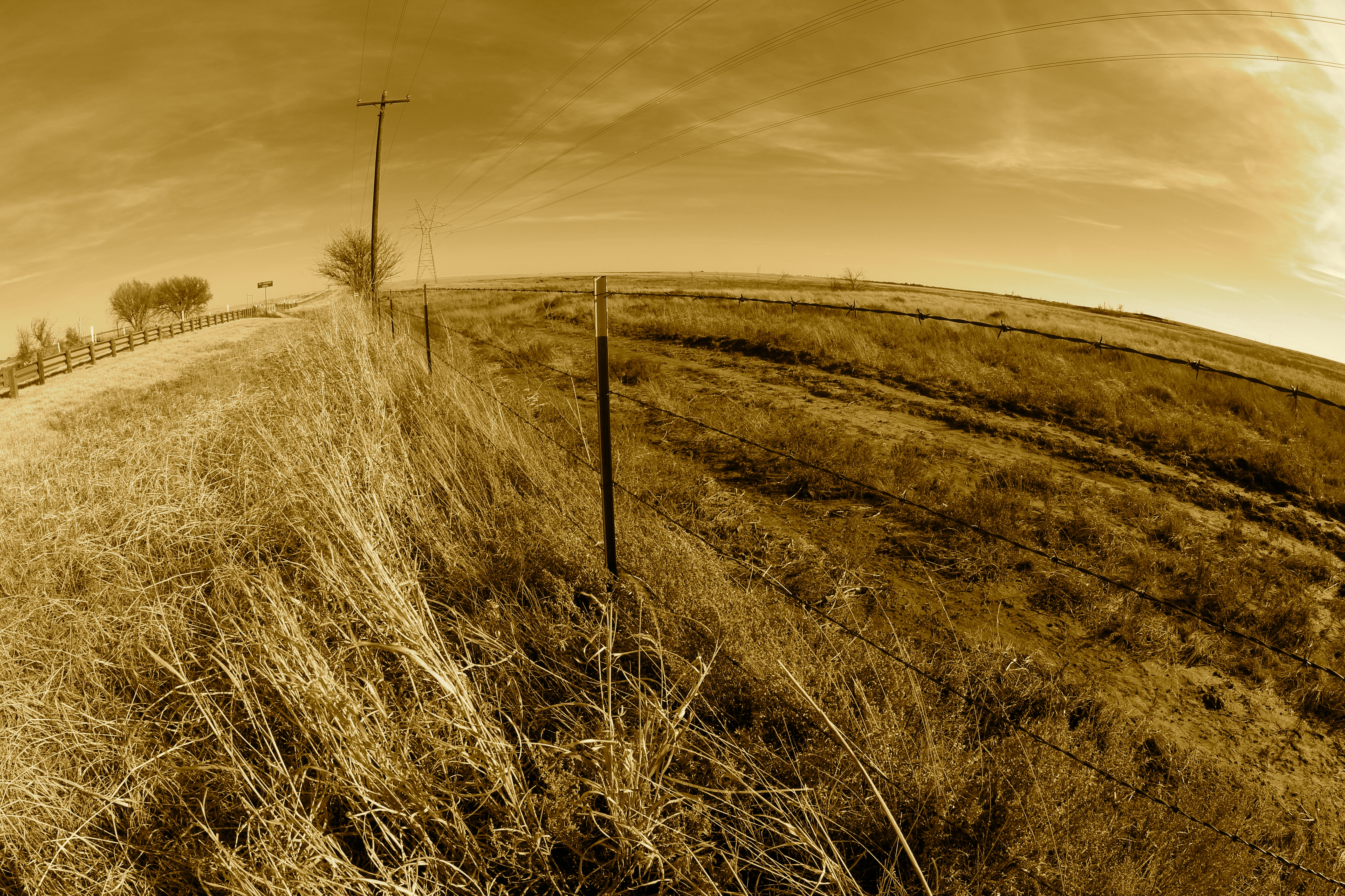
Barbed wire on the high plains
IMG_7043 - Version 2
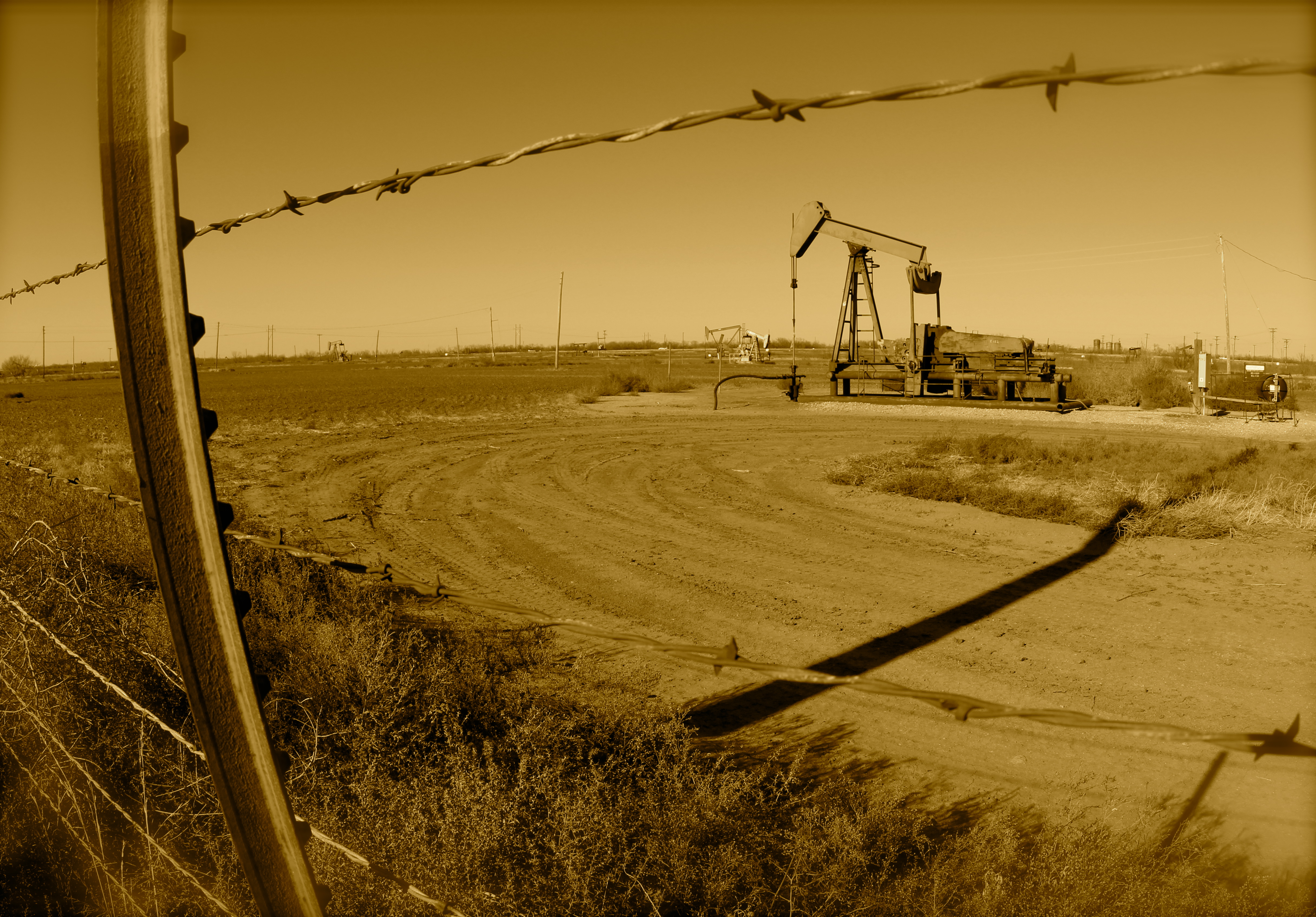
Pumpjack and barbed wire fence

Railroad tracks and siding east of Electra TX

Texas Big Sky
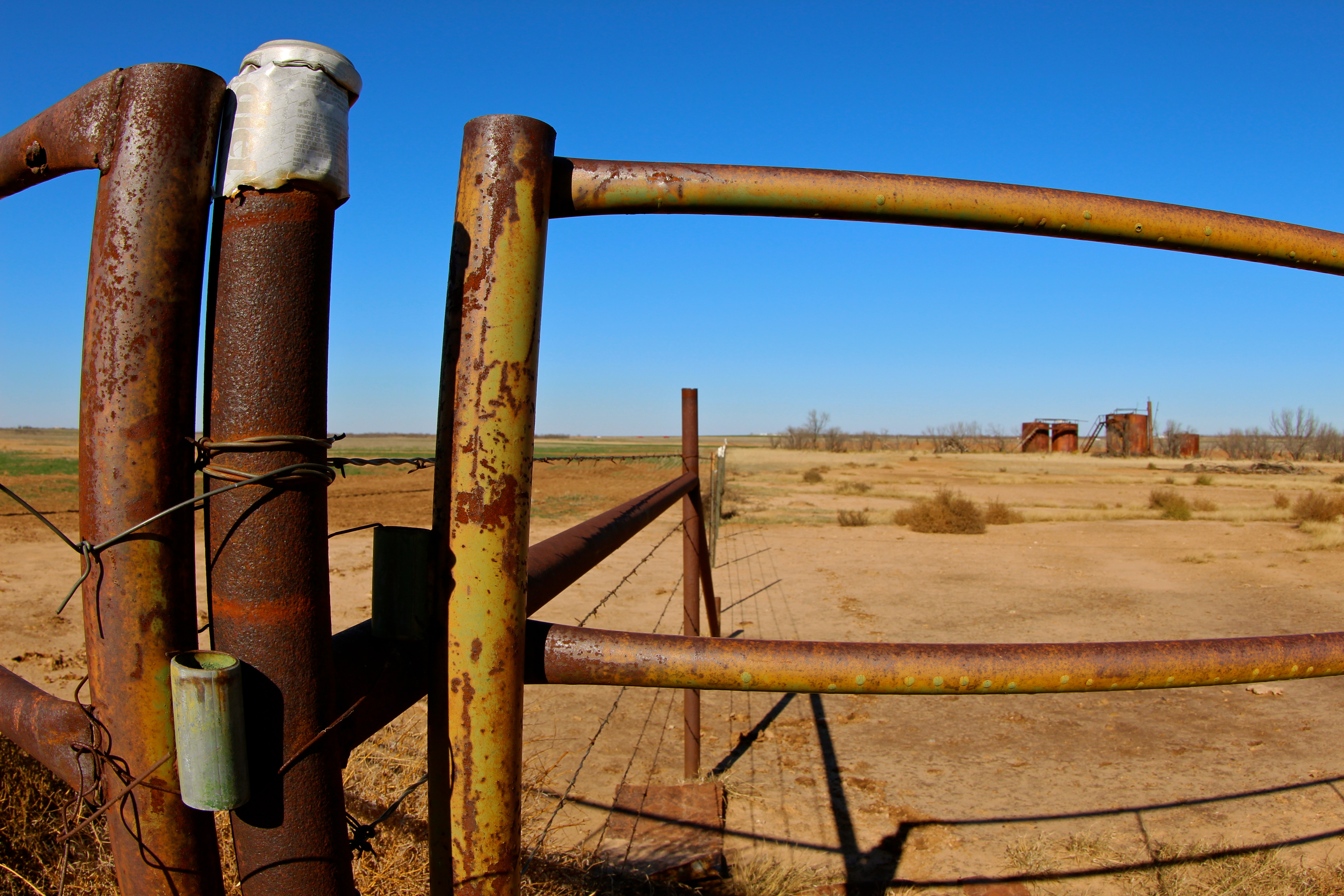
Fences in West Texas
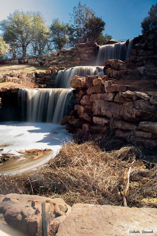
The Waterfall
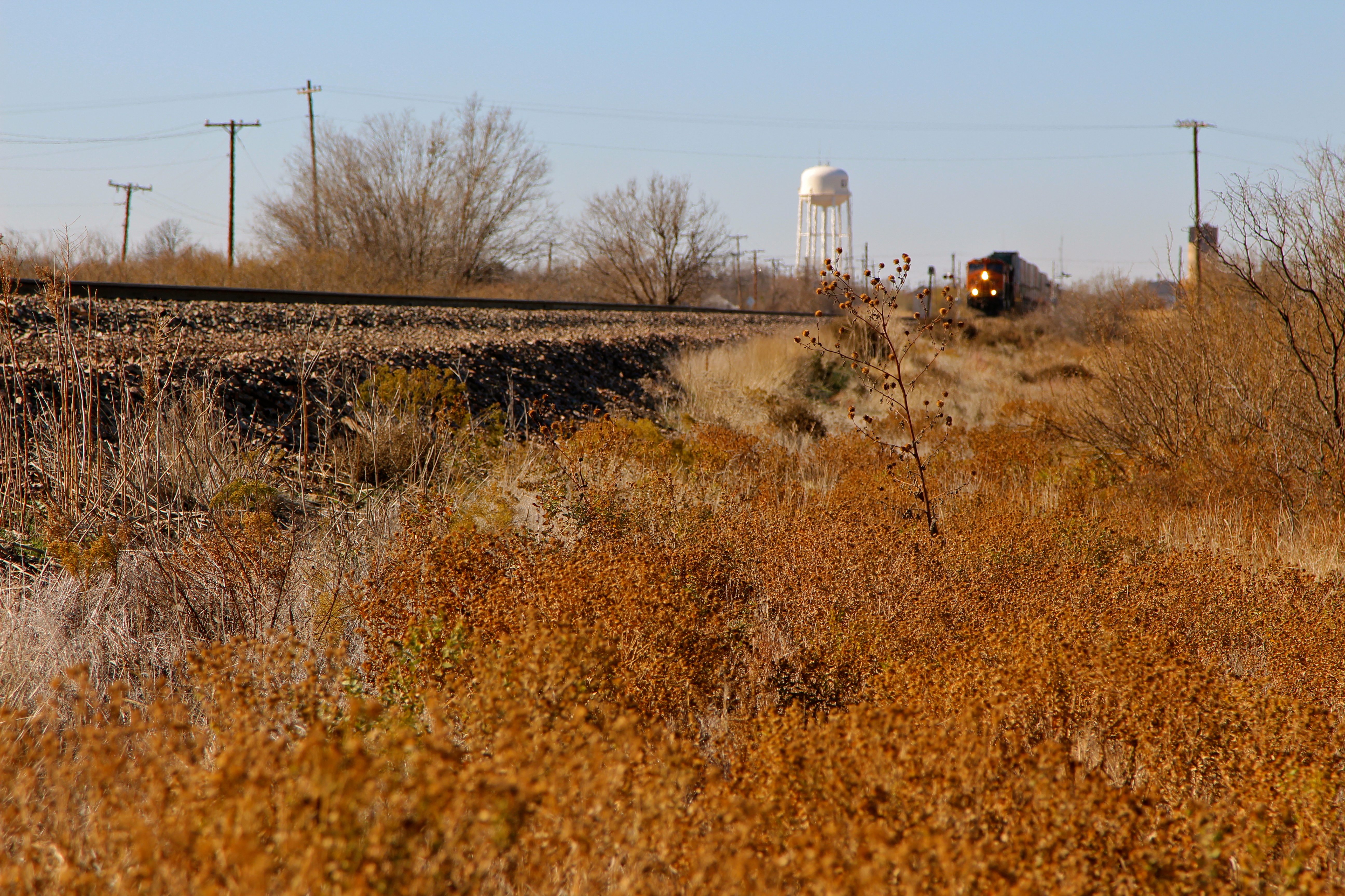
Eastbound BNSF stacktrain roars through Electra TX
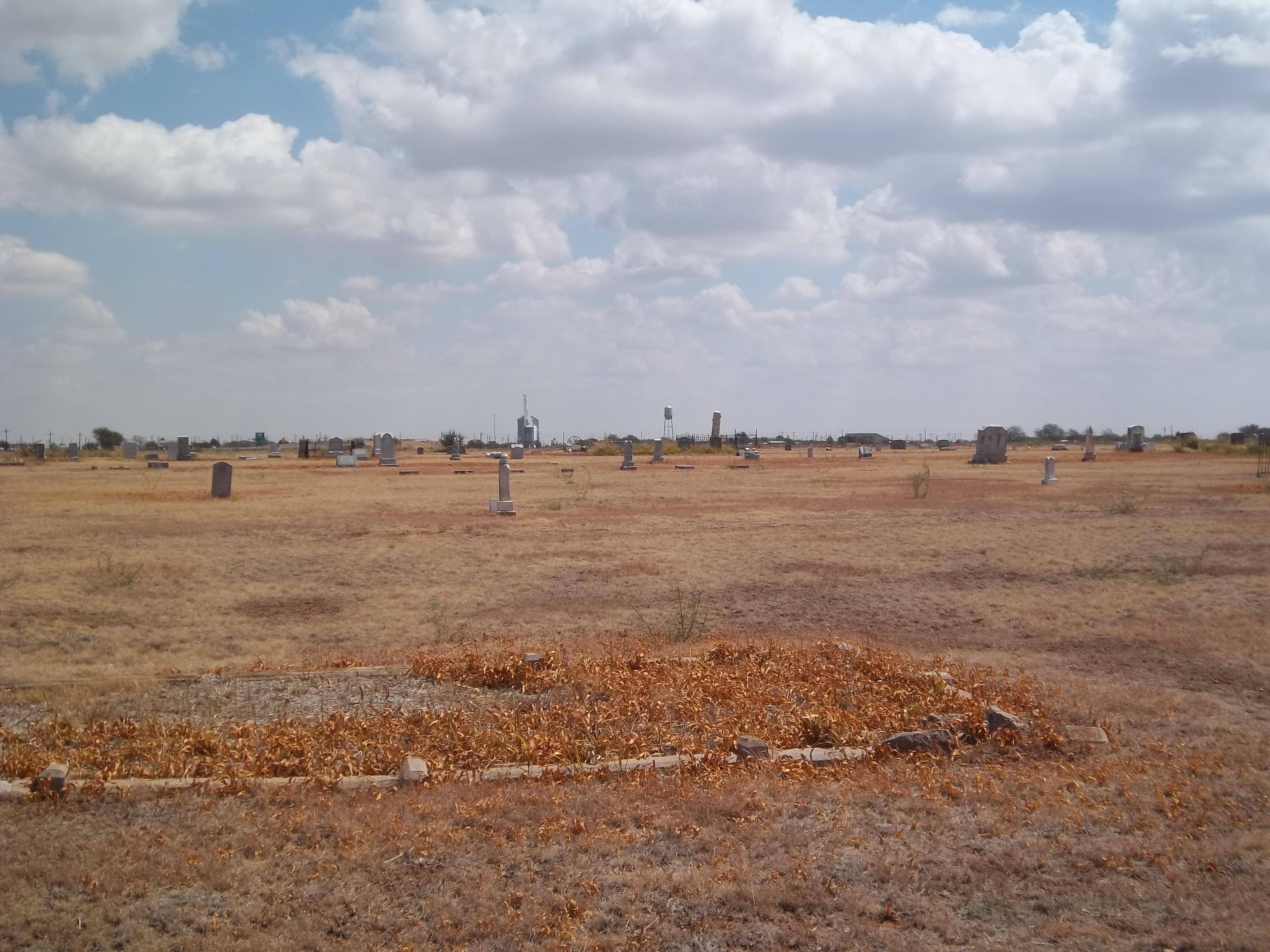
Harrold Cemetery 2, Harrold, Texas
Harrold Cemetery 10, Harrold, Texas
Topographic Map of TX-, Electra, TX, USA
Find elevation by address:

Places near TX-, Electra, TX, USA:
Electra
Harrold
FM, Iowa Park, TX, USA
Davidson
Primrose Ave, Davidson, OK, USA
Wichita County
TX-, Electra, TX, USA
FM, Iowa Park, TX, USA
Bean Hill Rd, Electra, TX, USA
Burkburnett, TX, USA
Iowa Park
401 N Main St
TX-25, Holliday, TX, USA
914 Mohawk Dr
Burkburnett
Quail Ridge Road
Parker Ranch Road
Holliday
Vernon
Tillman County
Recent Searches:
- Elevation of Rojo Ct, Atascadero, CA, USA
- Elevation of Flagstaff Drive, Flagstaff Dr, North Carolina, USA
- Elevation of Avery Ln, Lakeland, FL, USA
- Elevation of Woolwine, VA, USA
- Elevation of Lumagwas Diversified Farmers Multi-Purpose Cooperative, Lumagwas, Adtuyon, RV32+MH7, Pangantucan, Bukidnon, Philippines
- Elevation of Homestead Ridge, New Braunfels, TX, USA
- Elevation of Orchard Road, Orchard Rd, Marlborough, NY, USA
- Elevation of 12 Hutchinson Woods Dr, Fletcher, NC, USA
- Elevation of Holloway Ave, San Francisco, CA, USA
- Elevation of Norfolk, NY, USA