Elevation of TX-, Electra, TX, USA
Location: United States > Texas > Wilbarger County > Electra >
Longitude: -98.834047
Latitude: 33.8577168
Elevation: 308m / 1010feet
Barometric Pressure: 98KPa
Elevation Map:
Satellite Map:
Related Photos:
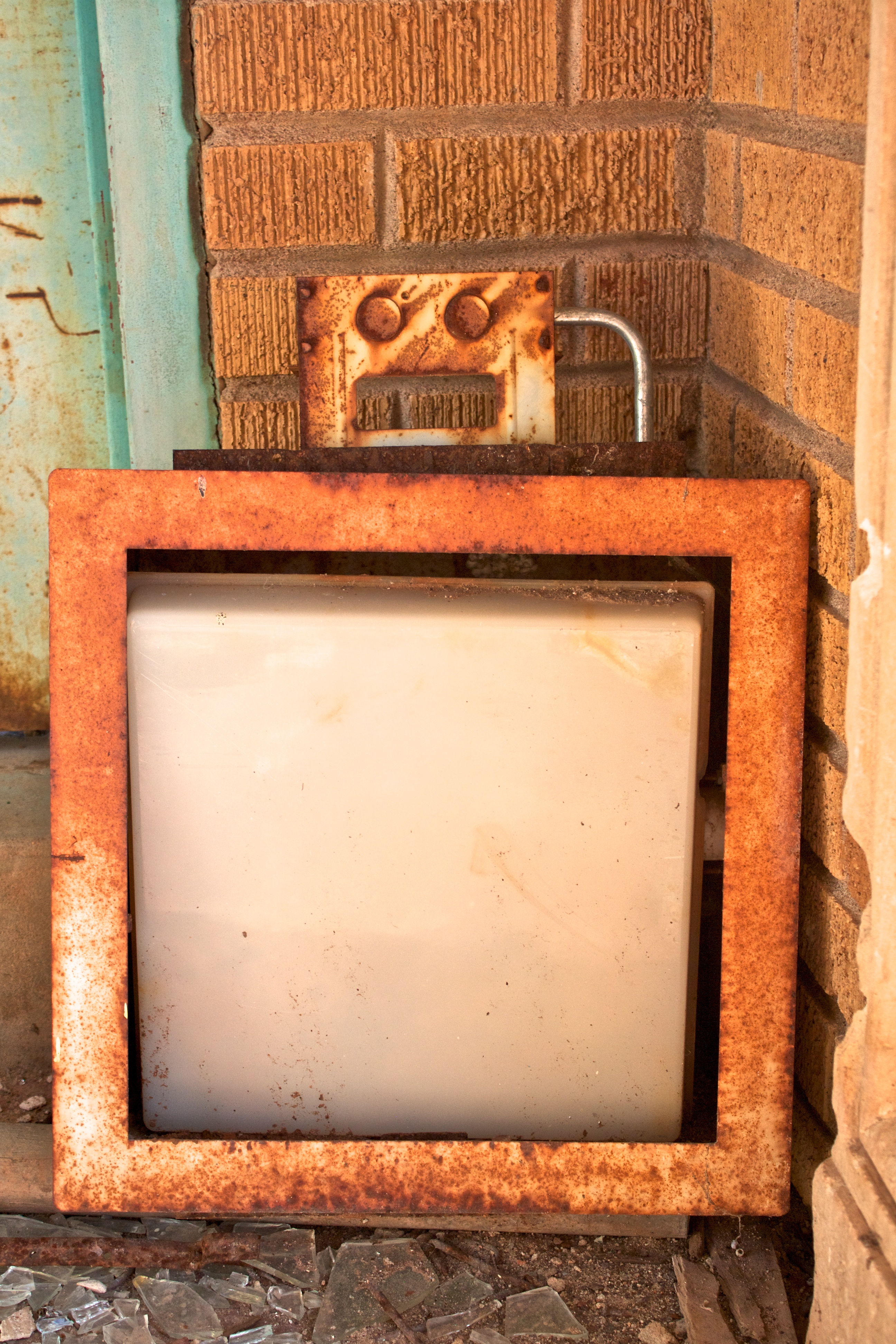
Surprised Robot
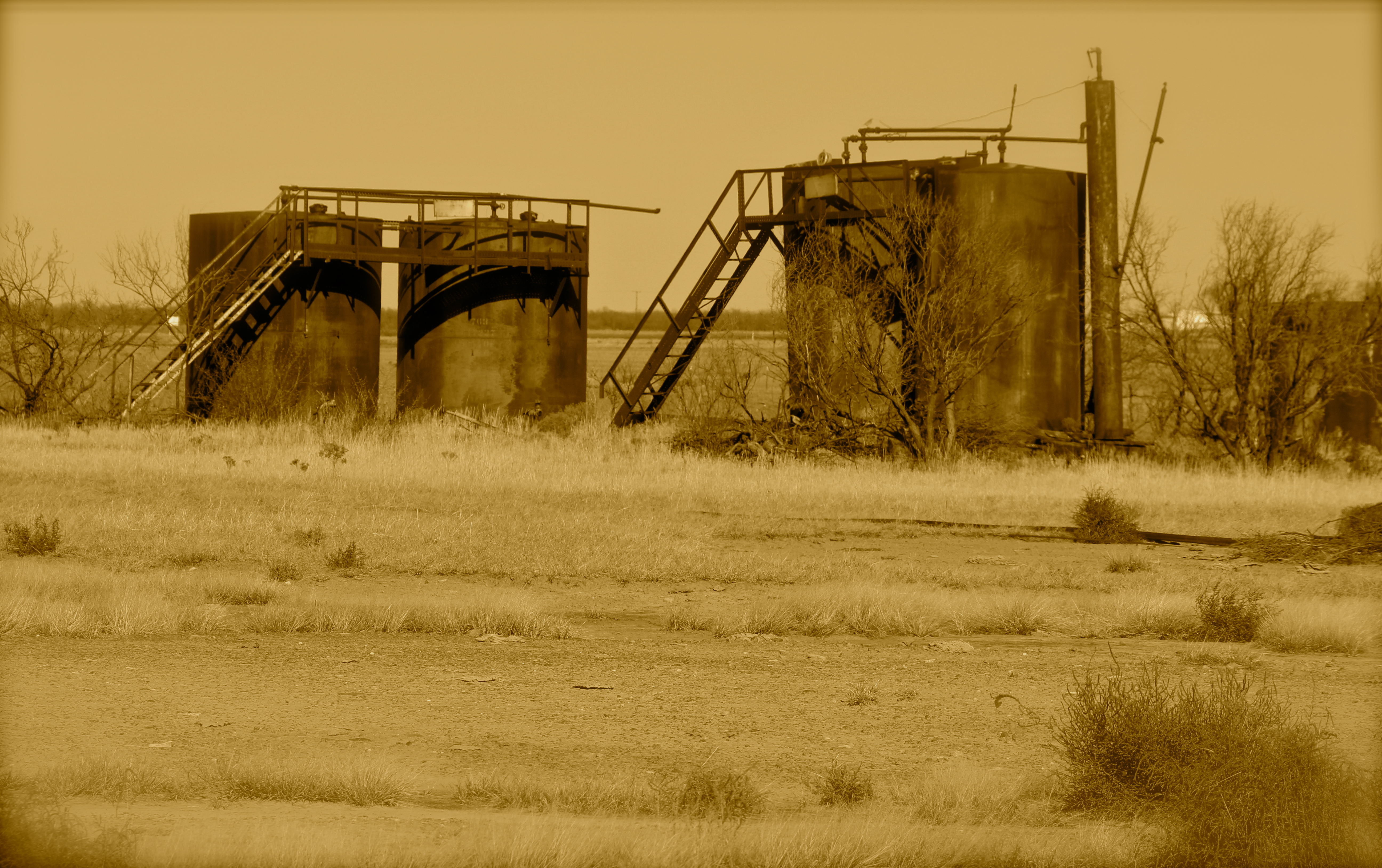
Abandoned oil tanks east of Electra TX

Railroad tracks and siding east of Electra TX
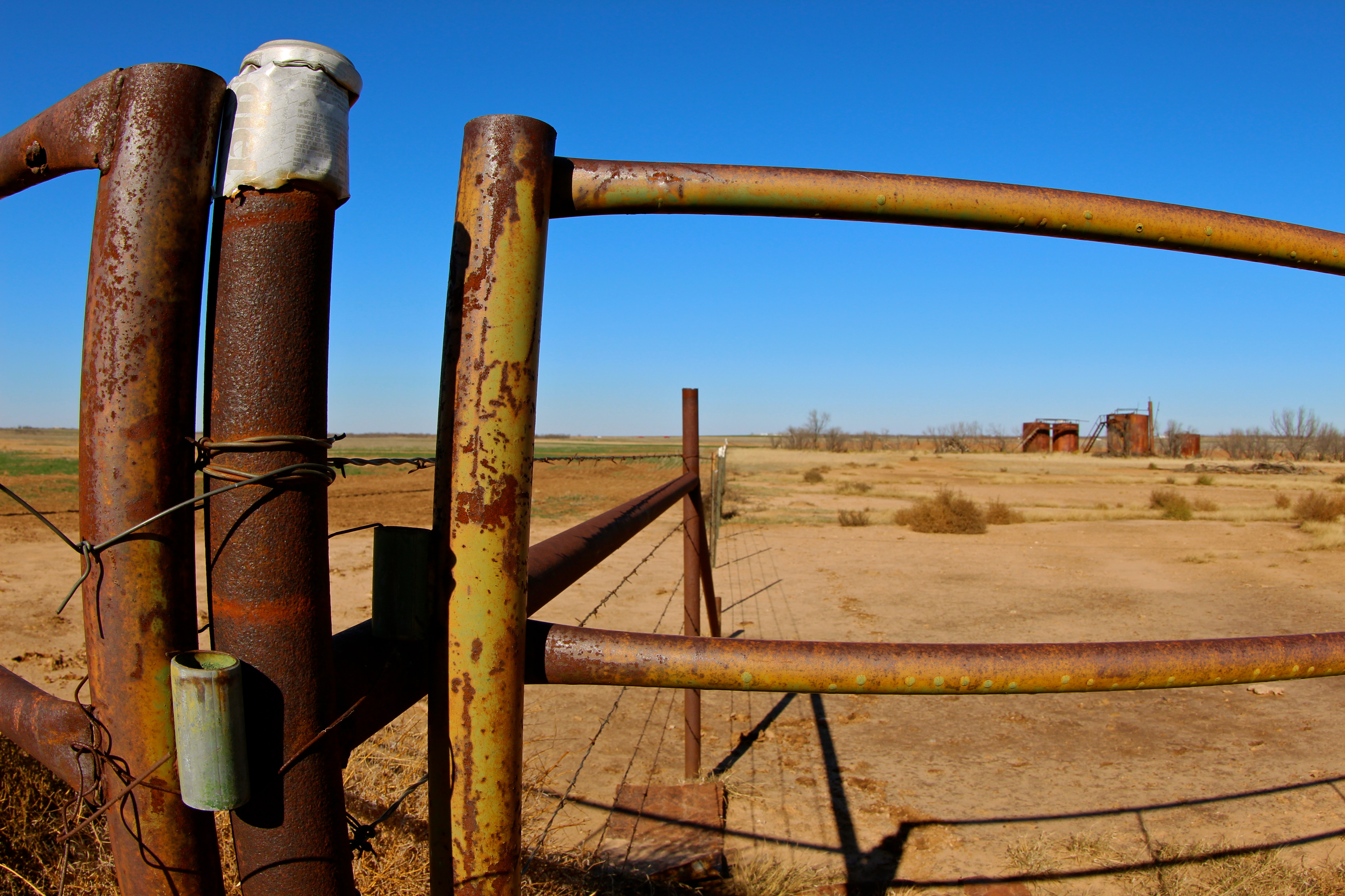
Fences in West Texas

D. S. Dudley Shows, Mankins, Texas... Iscorama anamorphic
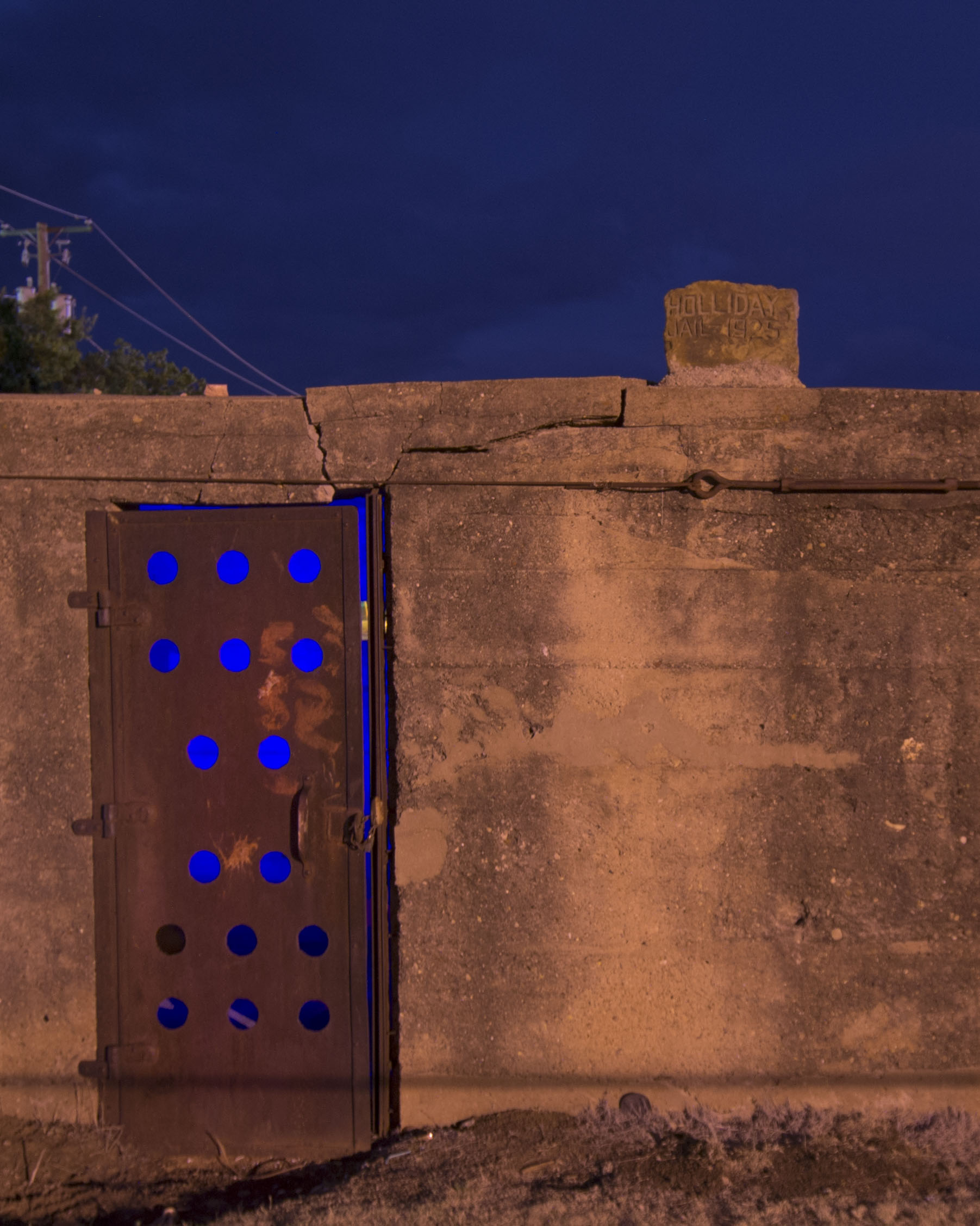
Holliday Jail 1925

Rolling out for Colorado and the @coppertriangle #CTRIDE2014
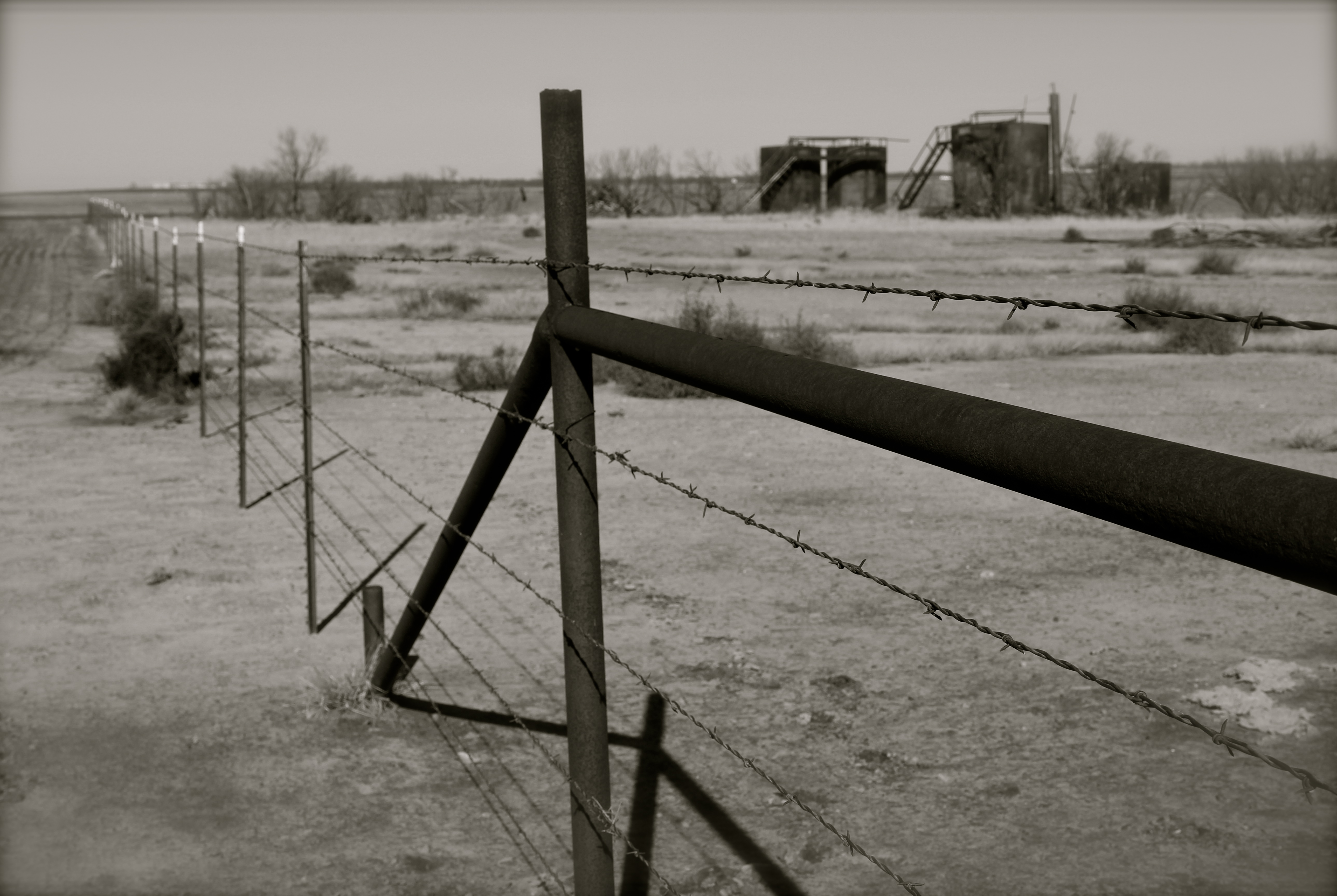
Barbed wire fence and oil tanks, West Texas
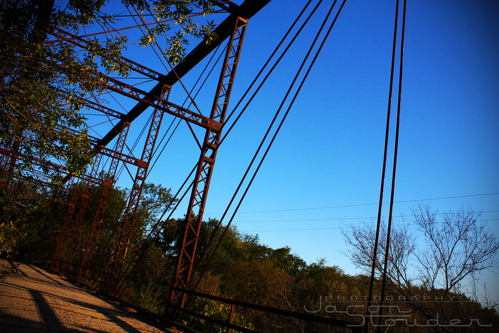
Burnett Park Bridge
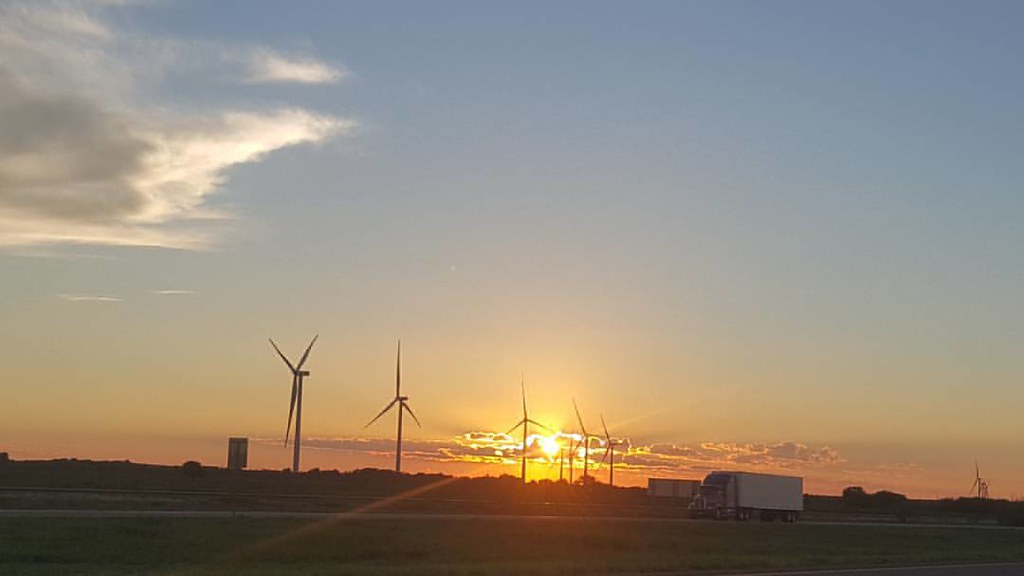
The colors of dusk need #nofilter #texaswinds #windenergy Going clean, Going green!
Cross Country Road Tripping: California to Florida.
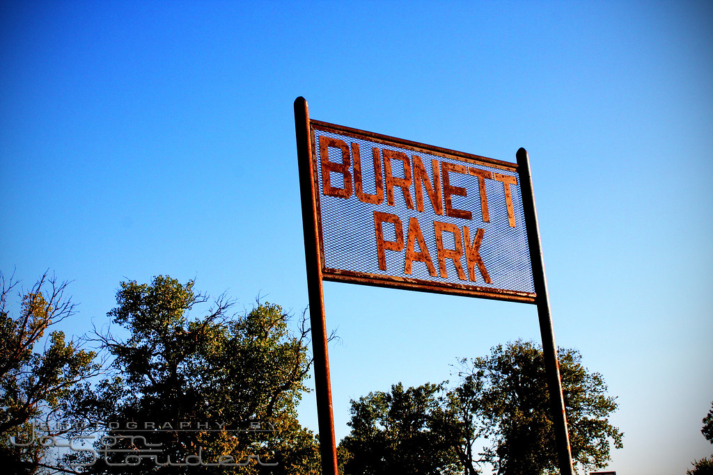
Burnett Park
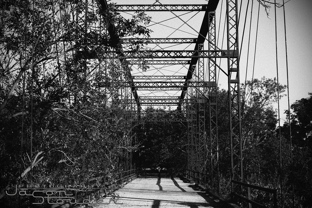
Burnett Park Bridge
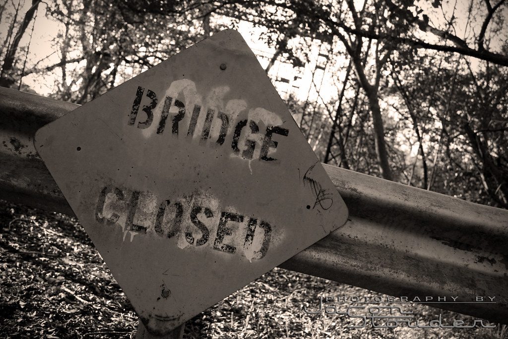
Bridge Closed
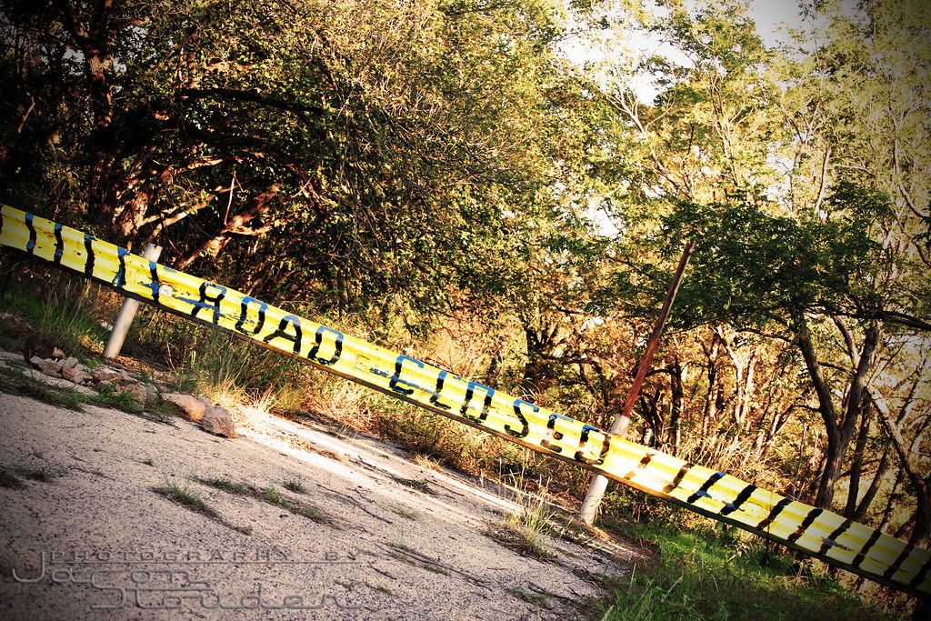
Road Closed
Topographic Map of TX-, Electra, TX, USA
Find elevation by address:

Places near TX-, Electra, TX, USA:
FM, Iowa Park, TX, USA
TX-25, Holliday, TX, USA
Wichita County
Holliday
Quail Ridge Road
Parker Ranch Road
Iowa Park
Electra
6200 Talon Trail
TX-, Electra, TX, USA
FM, Iowa Park, TX, USA
3400 Nottinghill Ln
Royal Rd, Wichita Falls, TX, USA
Harrold
Burkburnett, TX, USA
1414 Tilden St
Lucy Park
Oyo Hotel Wichita Falls - Maurine St.
4301 Dehaven Dr
5423 Carlson St
Recent Searches:
- Elevation of Congressional Dr, Stevensville, MD, USA
- Elevation of Bellview Rd, McLean, VA, USA
- Elevation of Stage Island Rd, Chatham, MA, USA
- Elevation of Shibuya Scramble Crossing, 21 Udagawacho, Shibuya City, Tokyo -, Japan
- Elevation of Jadagoniai, Kaunas District Municipality, Lithuania
- Elevation of Pagonija rock, Kranto 7-oji g. 8"N, Kaunas, Lithuania
- Elevation of Co Rd 87, Jamestown, CO, USA
- Elevation of Tenjo, Cundinamarca, Colombia
- Elevation of Côte-des-Neiges, Montreal, QC H4A 3J6, Canada
- Elevation of Bobcat Dr, Helena, MT, USA