Elevation of TX-25, Holliday, TX, USA
Location: United States > Texas >
Longitude: -98.797467
Latitude: 33.7860675
Elevation: 335m / 1099feet
Barometric Pressure: 97KPa
Elevation Map:
Satellite Map:
Related Photos:

Surprised Robot
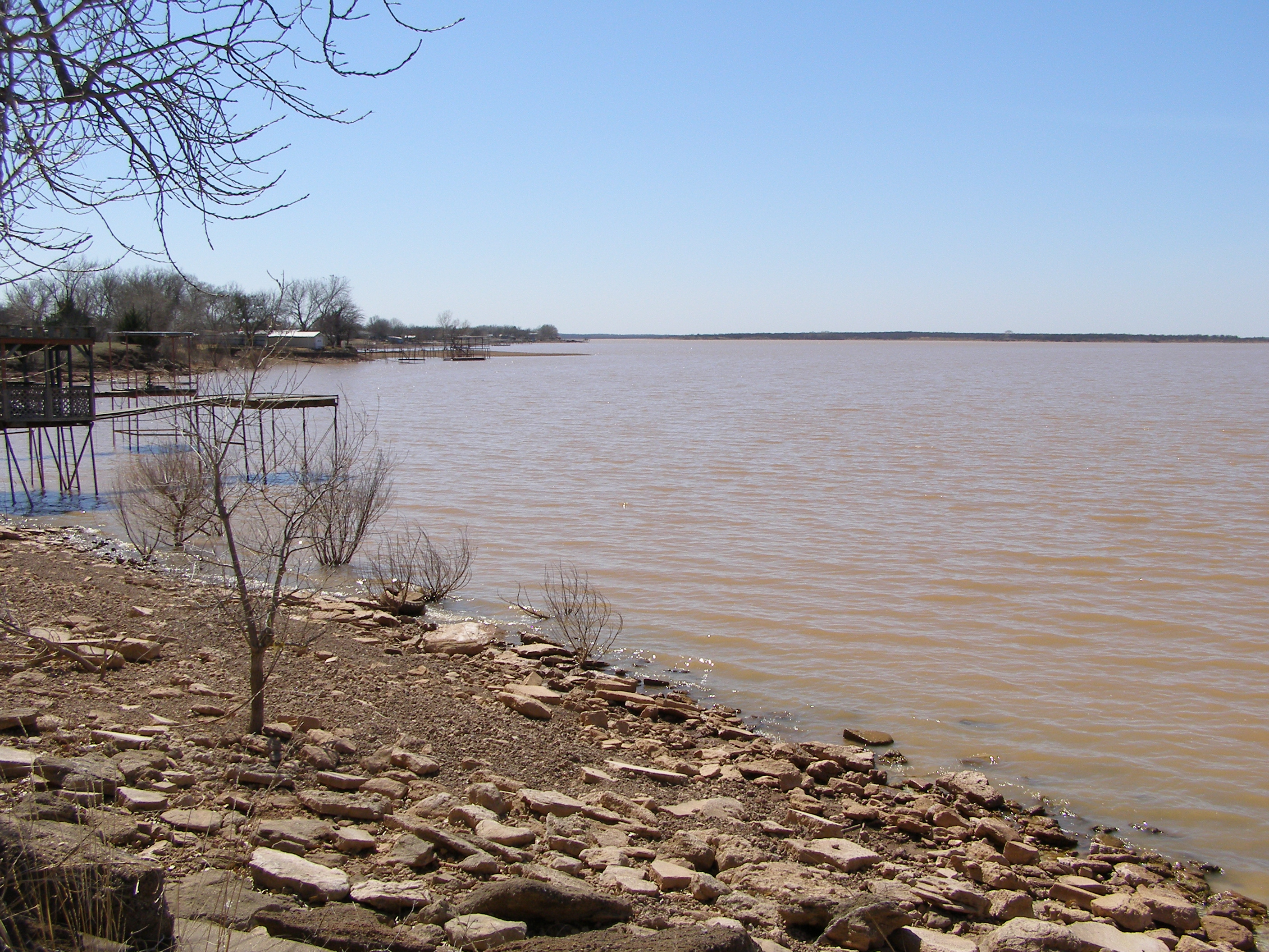
Lake Kickapoo, TX

D. S. Dudley Shows, Mankins, Texas... Iscorama anamorphic

Holliday Jail 1925

Burnett Park

Burnett Park Bridge

Burnett Park Bridge

Bridge Closed

Road Closed

Post Office 76369 (Kamay, Texas)

Tree at Abandoned Place

I hear something...

Patty hunting

Patty in the tank

Patty fetching a dove
Topographic Map of TX-25, Holliday, TX, USA
Find elevation by address:

Places near TX-25, Holliday, TX, USA:
TX-, Electra, TX, USA
FM, Iowa Park, TX, USA
Holliday
Quail Ridge Road
Wichita County
Parker Ranch Road
Iowa Park
6200 Talon Trail
3400 Nottinghill Ln
Royal Rd, Wichita Falls, TX, USA
Electra
1414 Tilden St
5423 Carlson St
4301 Dehaven Dr
Lucy Park
FM, Iowa Park, TX, USA
Oyo Hotel Wichita Falls - Maurine St.
1304 Kell W Blvd
TX-, Electra, TX, USA
Wichita Falls
Recent Searches:
- Elevation of Congressional Dr, Stevensville, MD, USA
- Elevation of Bellview Rd, McLean, VA, USA
- Elevation of Stage Island Rd, Chatham, MA, USA
- Elevation of Shibuya Scramble Crossing, 21 Udagawacho, Shibuya City, Tokyo -, Japan
- Elevation of Jadagoniai, Kaunas District Municipality, Lithuania
- Elevation of Pagonija rock, Kranto 7-oji g. 8"N, Kaunas, Lithuania
- Elevation of Co Rd 87, Jamestown, CO, USA
- Elevation of Tenjo, Cundinamarca, Colombia
- Elevation of Côte-des-Neiges, Montreal, QC H4A 3J6, Canada
- Elevation of Bobcat Dr, Helena, MT, USA