Elevation of FM, Pleasanton, TX, USA
Location: United States > Texas > Wilson County >
Longitude: -98.3968
Latitude: 29.110343
Elevation: 163m / 535feet
Barometric Pressure: 99KPa
Elevation Map:
Satellite Map:
Related Photos:
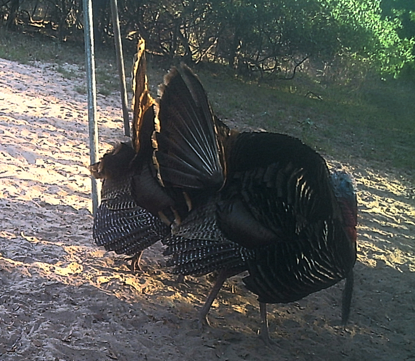
Double strut

Spring Mix

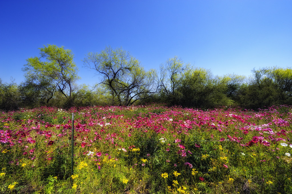
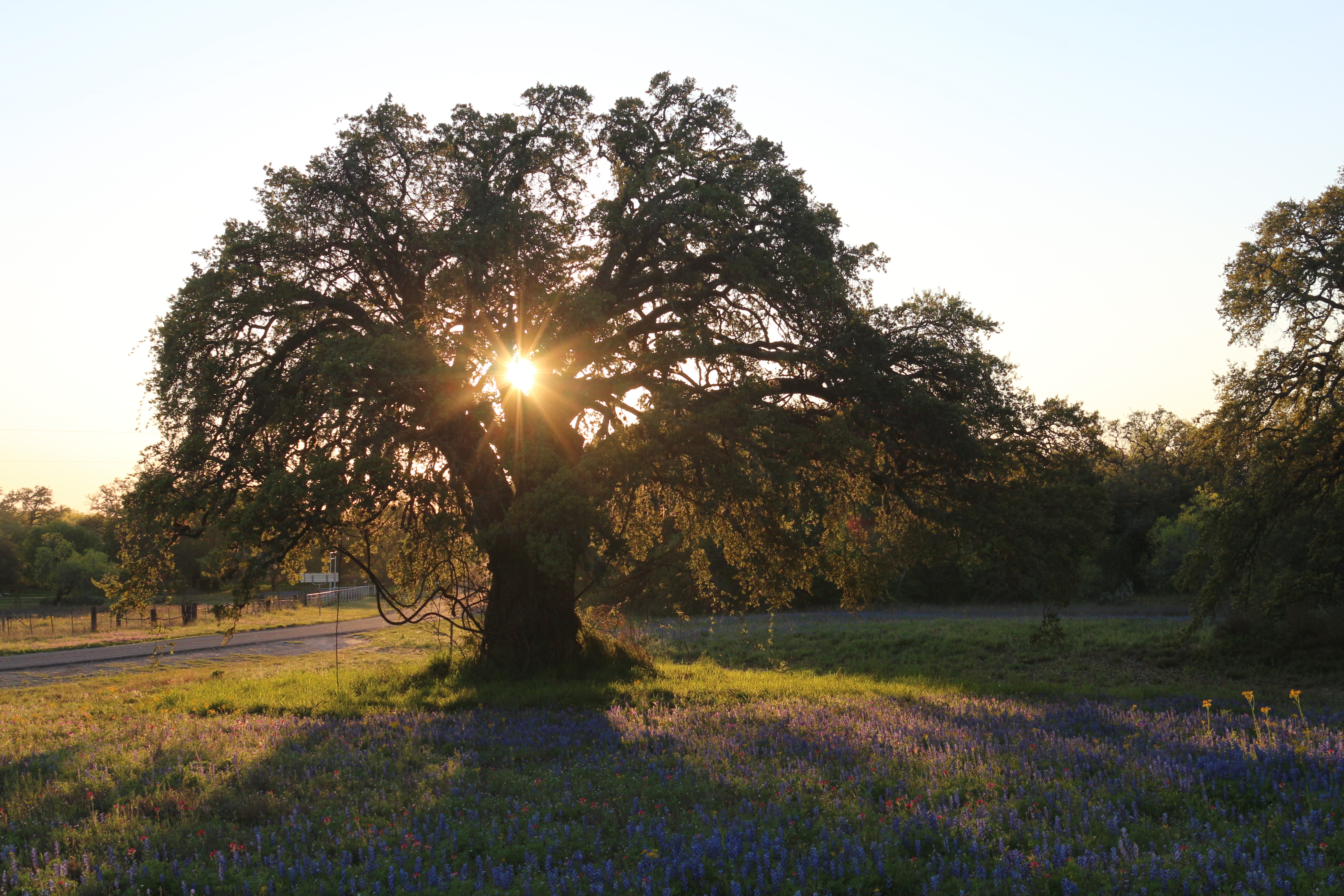
Bluebonnets and Prairie Verbena

Wildflower Vortex
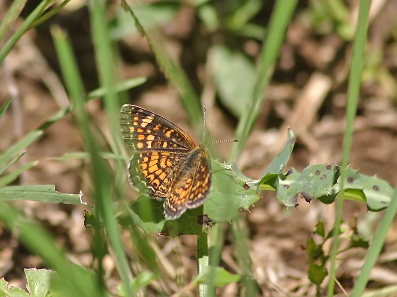
Vesta Crescent
_DSC8330-S
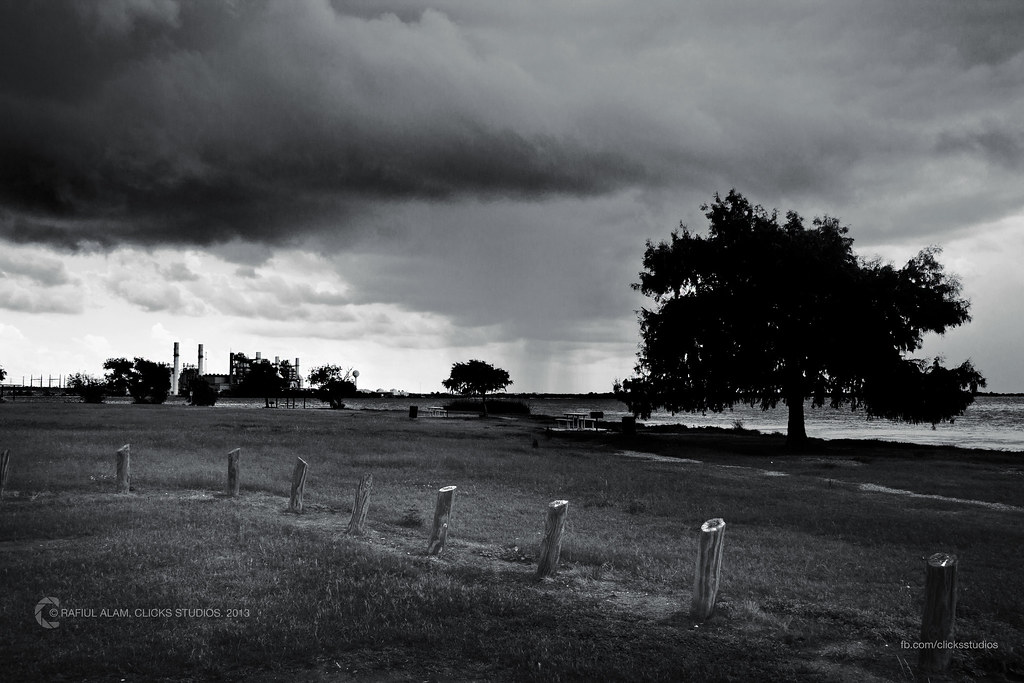
Definition Of A Sad Landscape
Bluebonnets! As far as the eye can see. S. I37 just south of San Antonio

Pleasanton Country Club

DETOUR - recycled sign
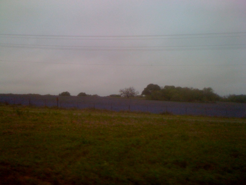
Central Texas just before sunset
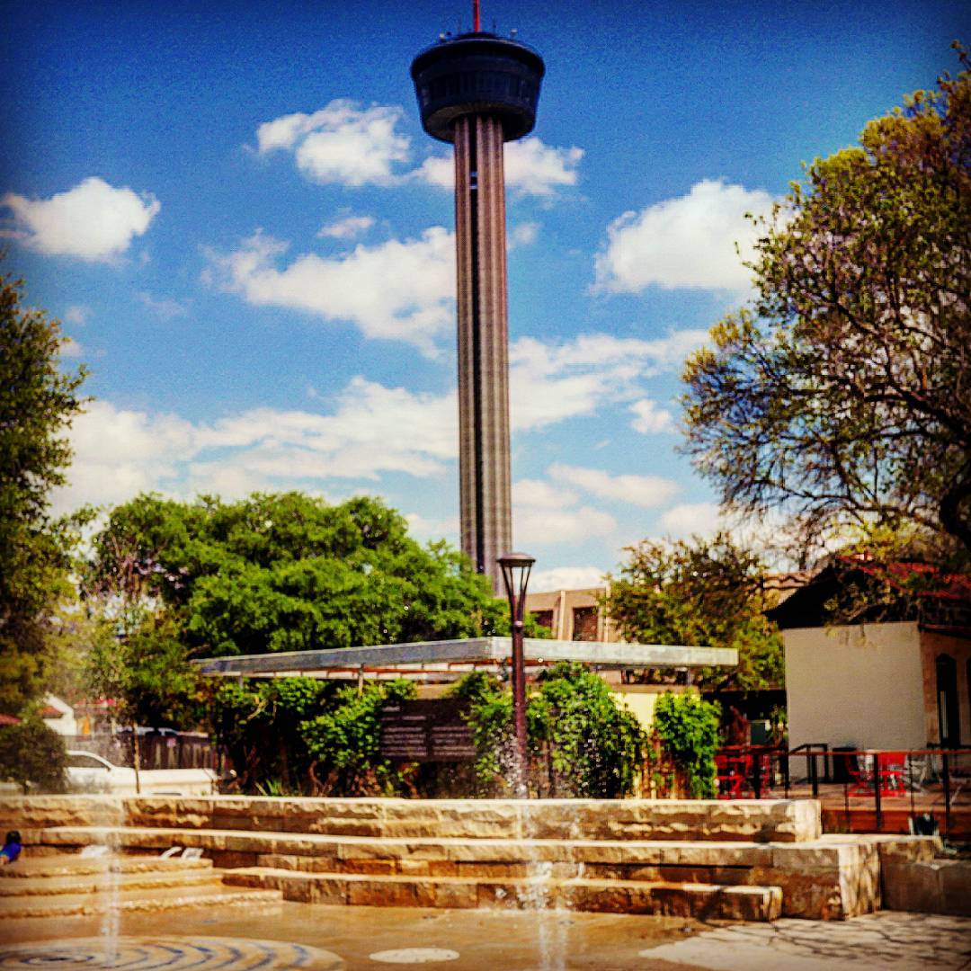
The American Tower, no centro de San Antonio. É possível subir na torre para apreciar vista aérea da cidade. Além disso, o local com restaurante e informações históricas sobre o Texas. #muitaviagem #americantower #visittheusa #sanantoniotx #texas #gorgeou

Interstate 37 Between San Antonio and Corpus Christi, Texas
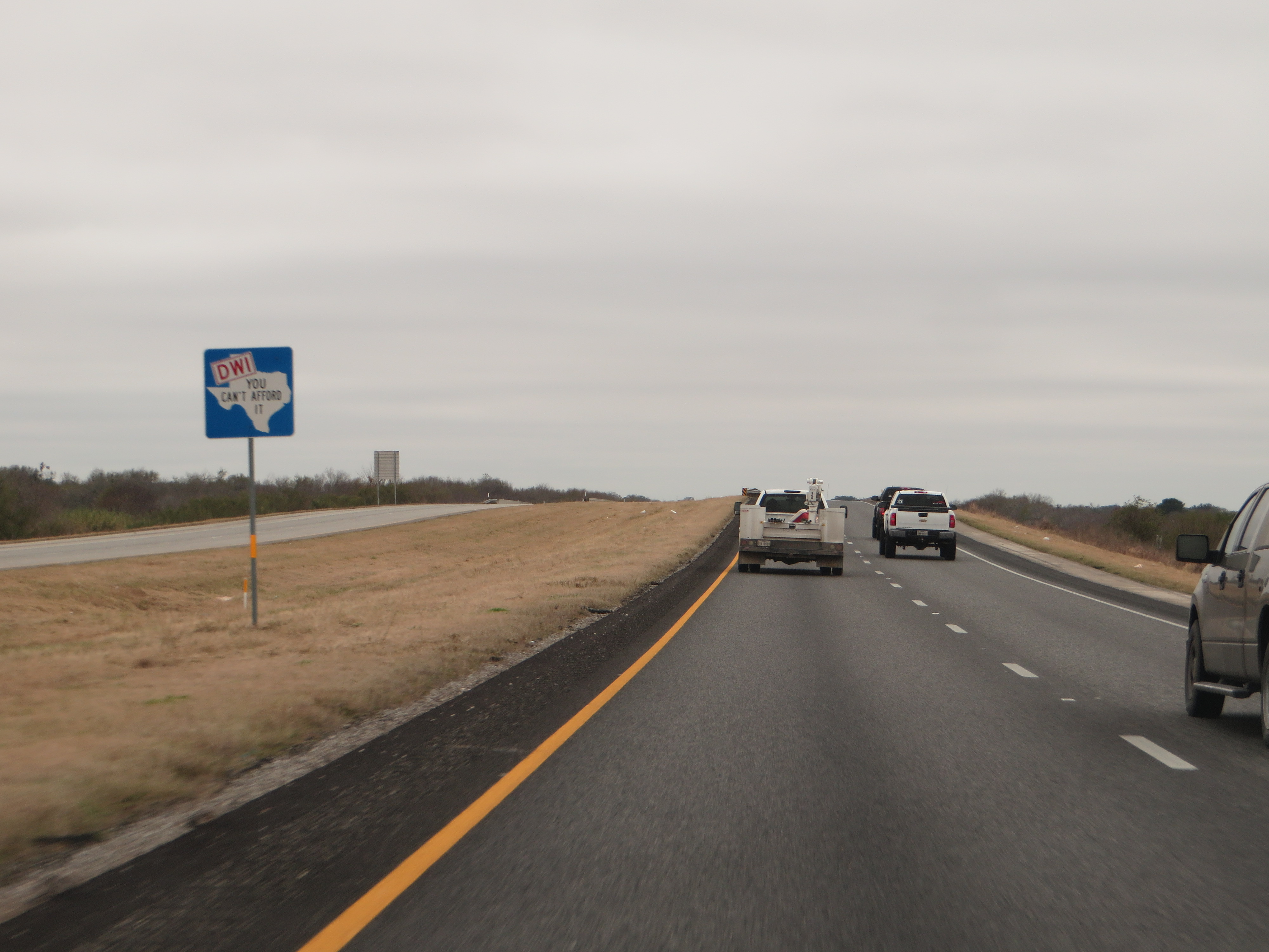
Dont Mess With Texas, Interstate 37 Between San Antonio and Corpus Christi, Texas
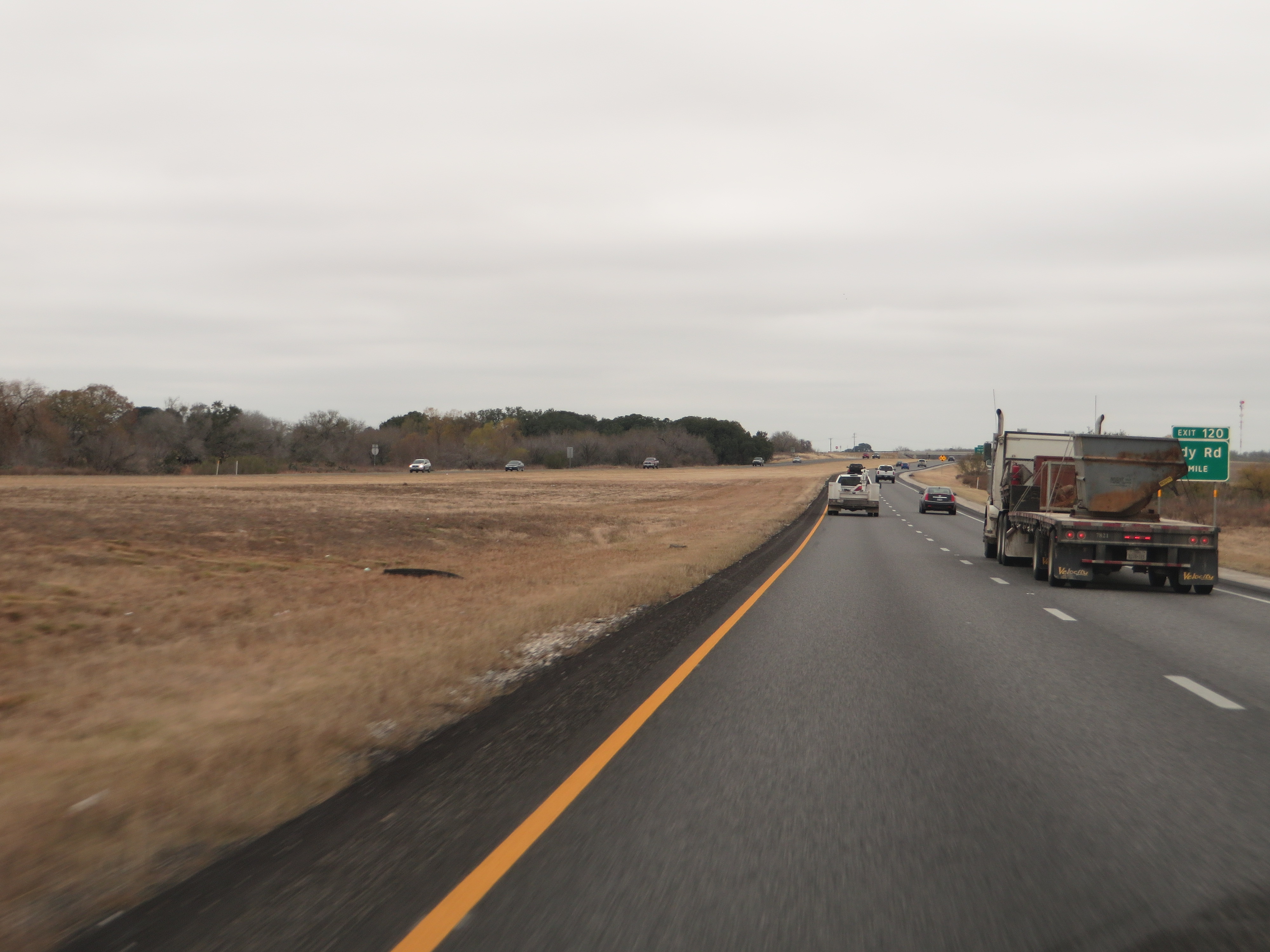
Interstate 37 Between San Antonio and Corpus Christi, Texas
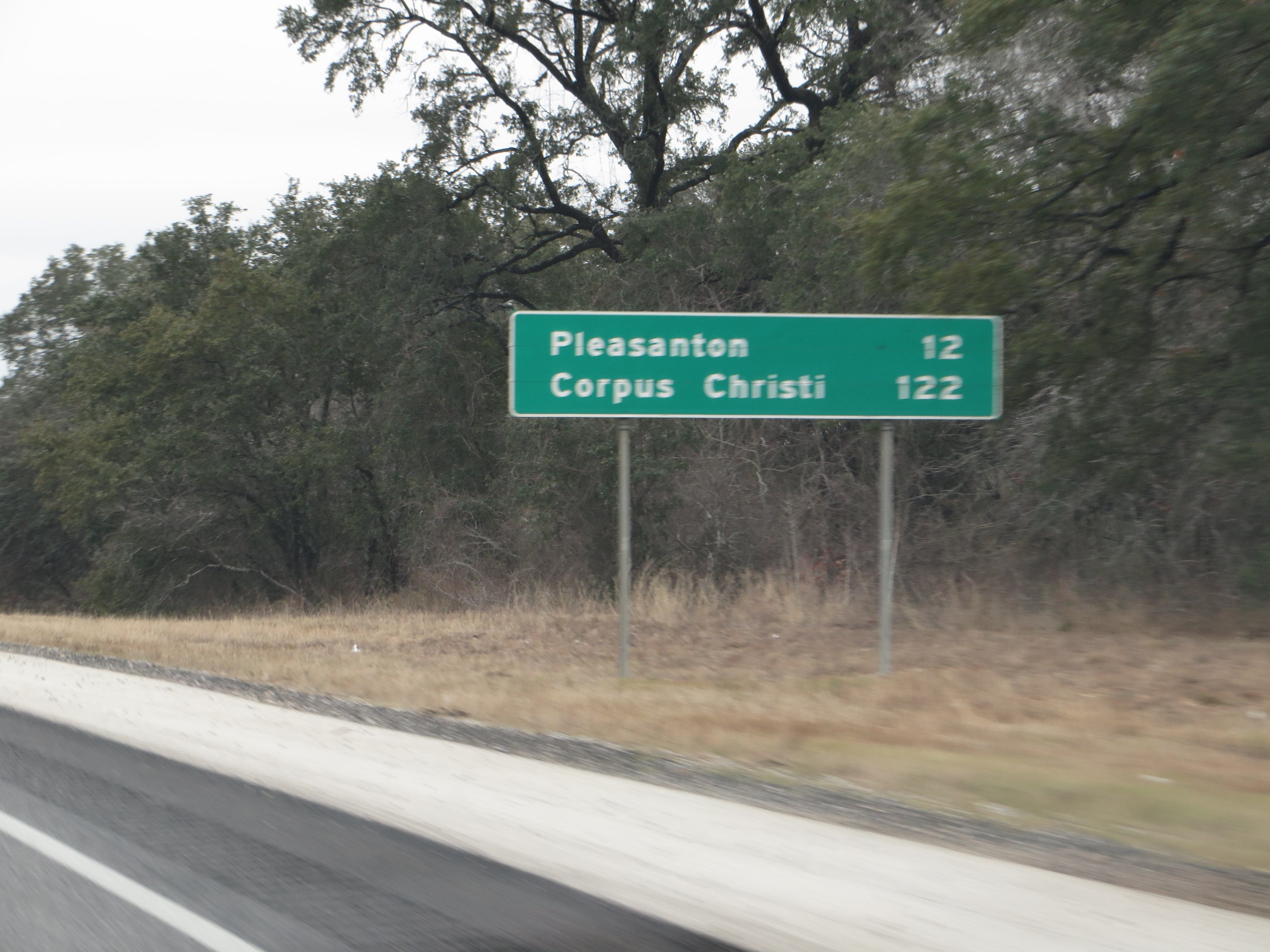
Interstate 37 Between San Antonio and Corpus Christi, Texas
Topographic Map of FM, Pleasanton, TX, USA
Find elevation by address:

Places near FM, Pleasanton, TX, USA:
FM, Pleasanton, TX, USA
County Rd, Floresville, TX, USA
6270 Fm2579
330 Broken Arrow
250 Broken Arrow
County Road 159
FM, Floresville, TX, USA
185 S Trail
Sacramento Icehouse
Elmendorf
Cr, Floresville, TX, USA
Jim Brite Rd, Pleasanton, TX, USA
S Presa St, San Antonio, TX, USA
10615 Green Vista St
9660 S Foster Rd
11205 Kosub Ln
585 Flower Trail Loop
1826 Burr Oak Ln
3678 Lyster Rd
528 10th St
Recent Searches:
- Elevation of Elwyn Dr, Roanoke Rapids, NC, USA
- Elevation of Congressional Dr, Stevensville, MD, USA
- Elevation of Bellview Rd, McLean, VA, USA
- Elevation of Stage Island Rd, Chatham, MA, USA
- Elevation of Shibuya Scramble Crossing, 21 Udagawacho, Shibuya City, Tokyo -, Japan
- Elevation of Jadagoniai, Kaunas District Municipality, Lithuania
- Elevation of Pagonija rock, Kranto 7-oji g. 8"N, Kaunas, Lithuania
- Elevation of Co Rd 87, Jamestown, CO, USA
- Elevation of Tenjo, Cundinamarca, Colombia
- Elevation of Côte-des-Neiges, Montreal, QC H4A 3J6, Canada