Elevation of FM, Pleasanton, TX, USA
Location: United States > Texas > Atascosa County >
Longitude: -98.402551
Latitude: 29.050725
Elevation: 146m / 479feet
Barometric Pressure: 100KPa
Elevation Map:
Satellite Map:
Related Photos:
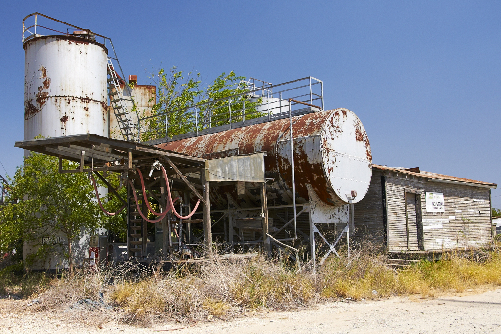
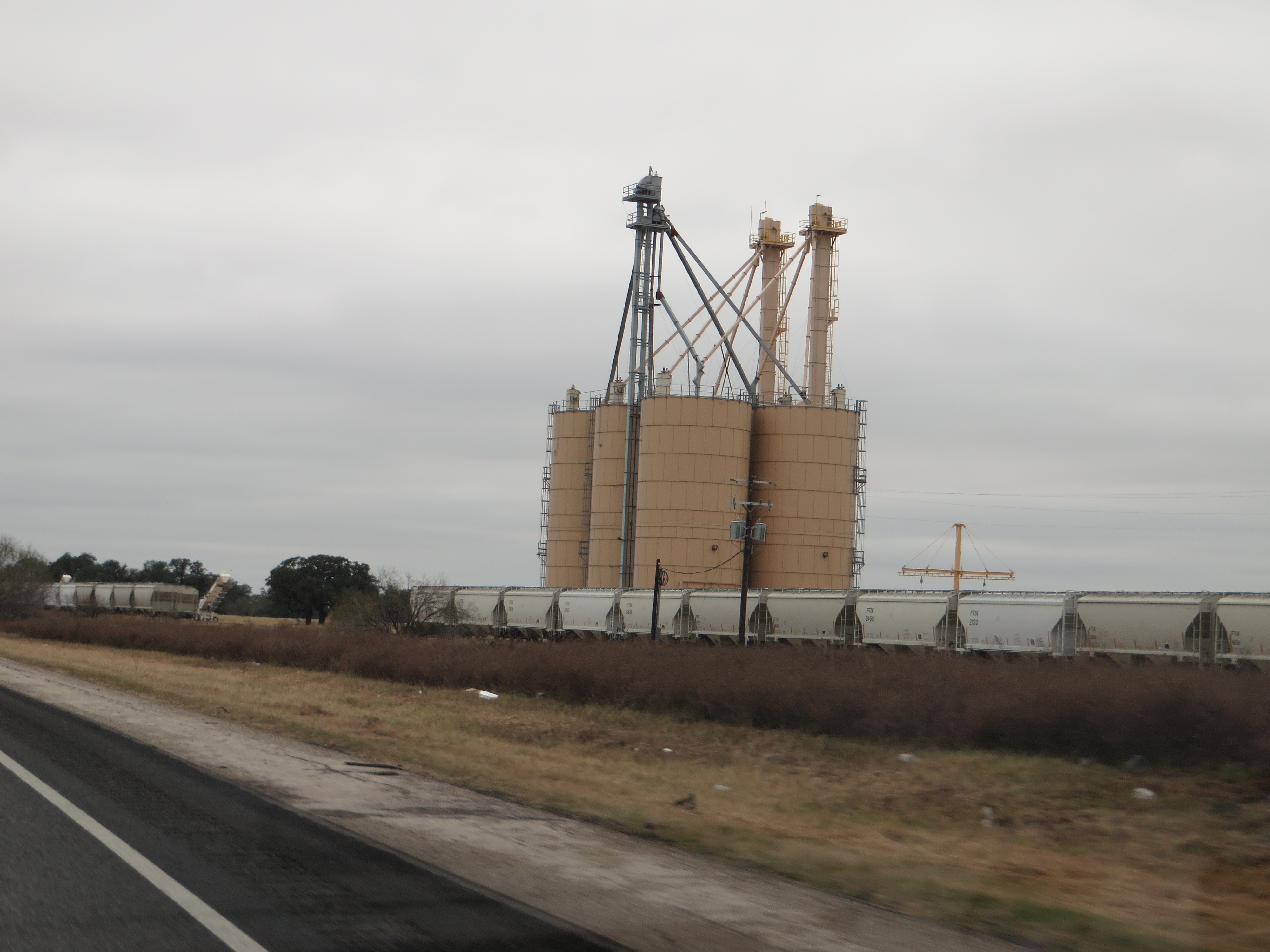
Fuel Depot
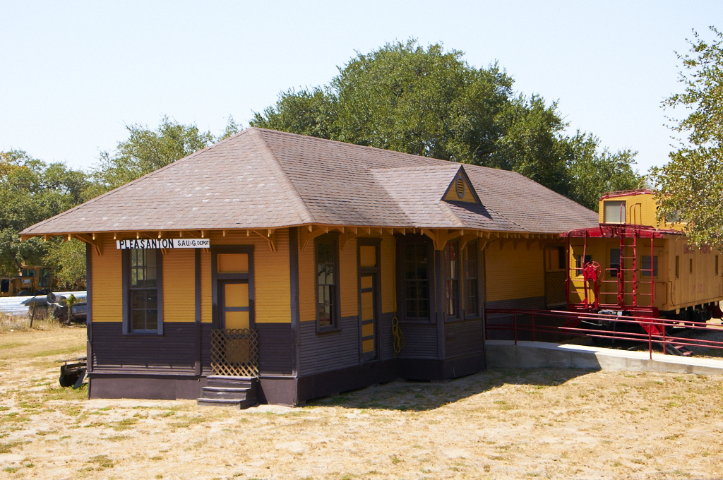
Train Depot

Double strut
_DSC8330-S

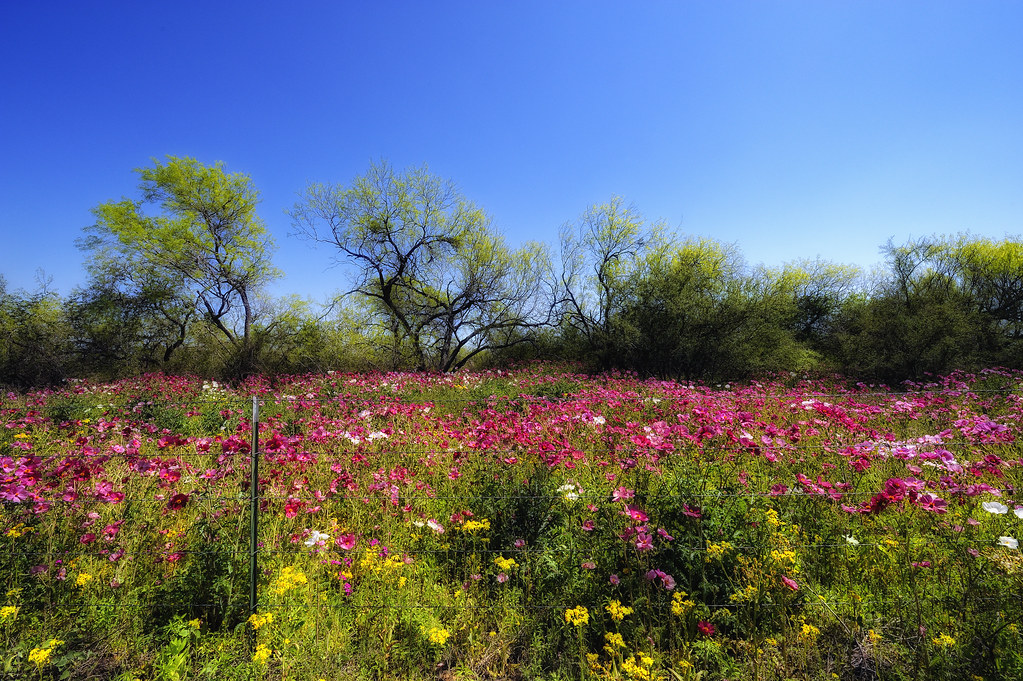
Spring Mix

Bluebonnets and Prairie Verbena

Wildflower Vortex

Atascosa River

Pleasanton Country Club

Luna's, good side...

Luna, relaxing on the patio couch, watching College Game Day!

Big rainfall damage...

Big rainfall damage...
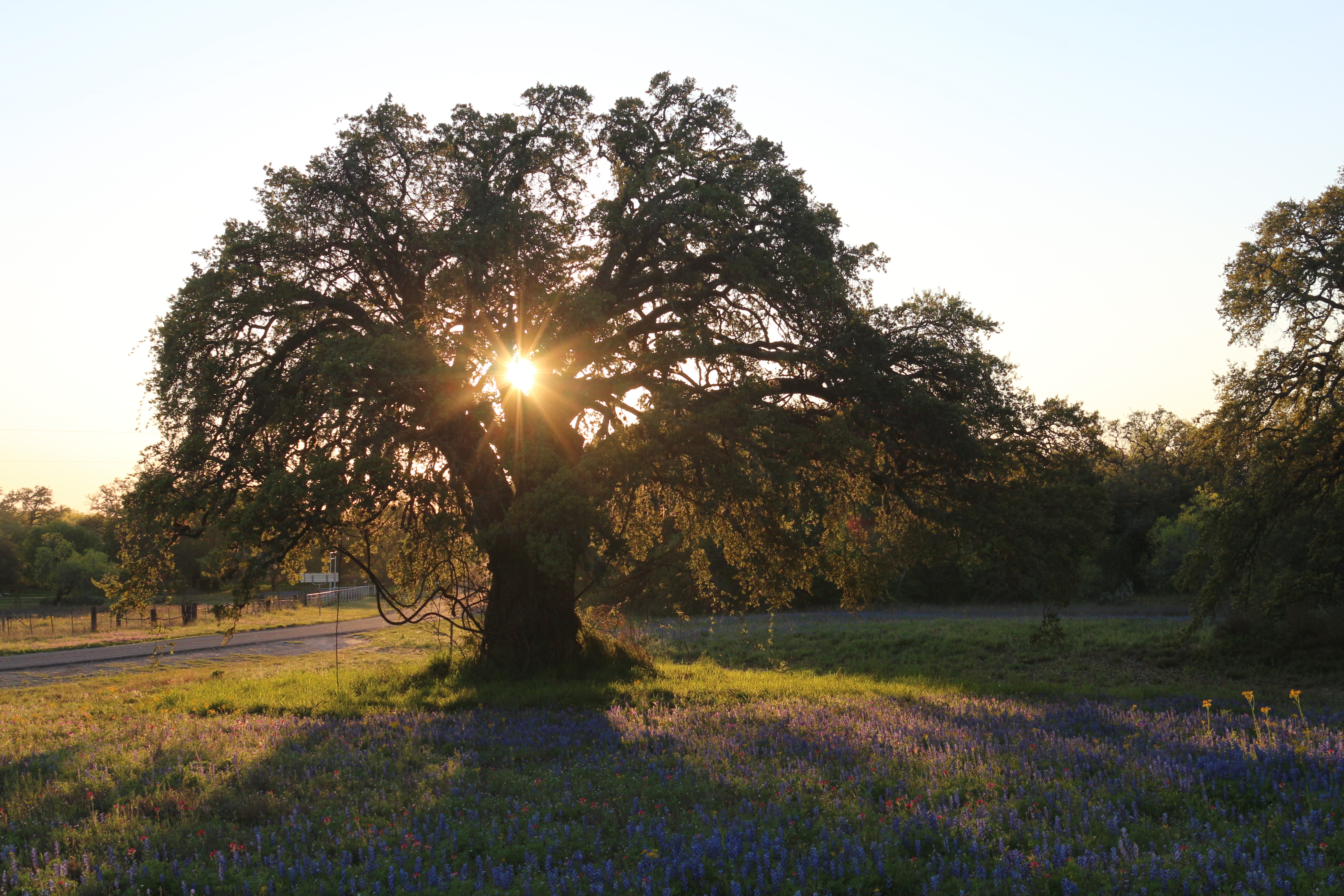
Central Texas just before sunset

Christmas Humor!
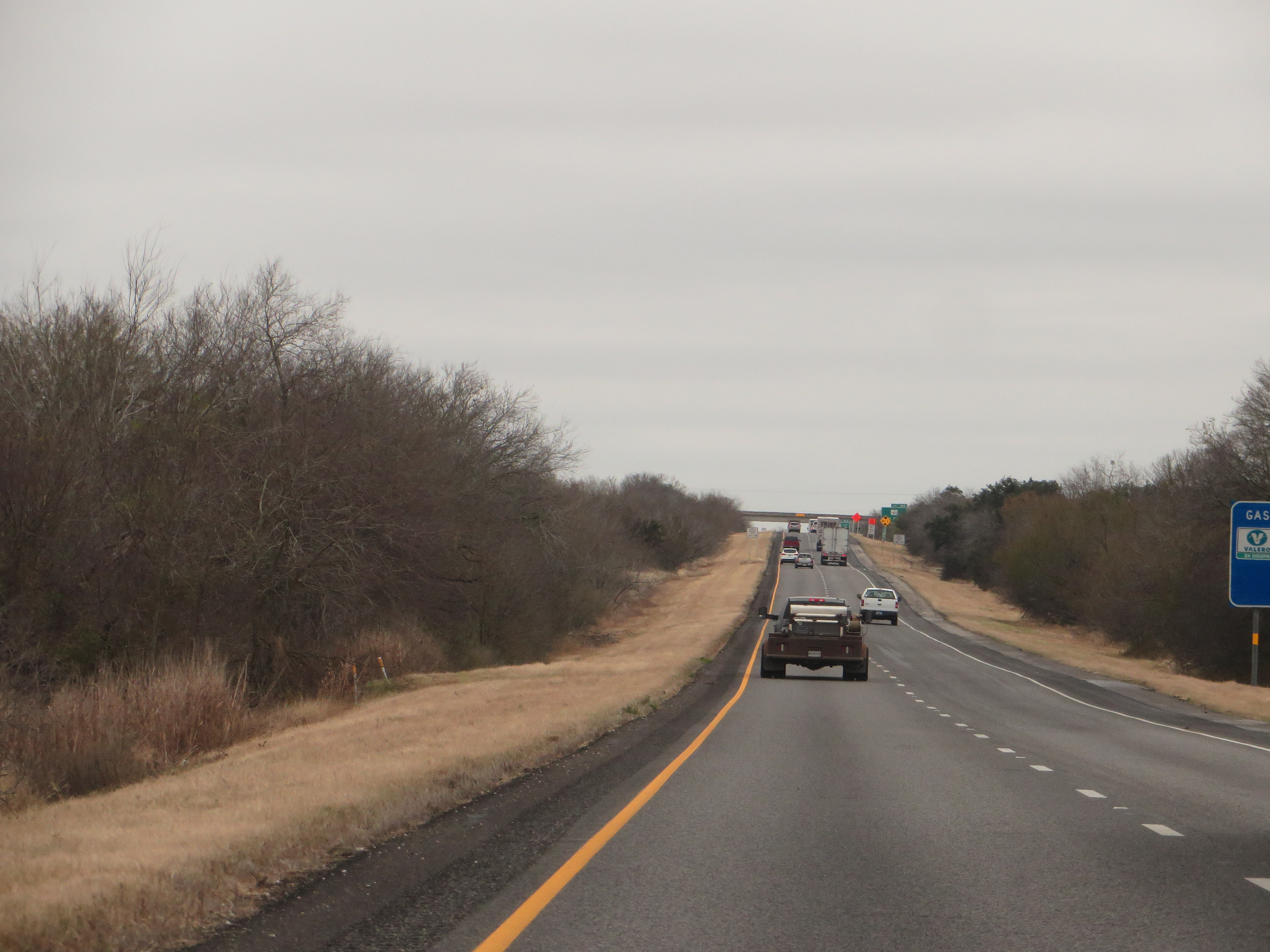
Interstate 37 Between San Antonio and Corpus Christi, Texas
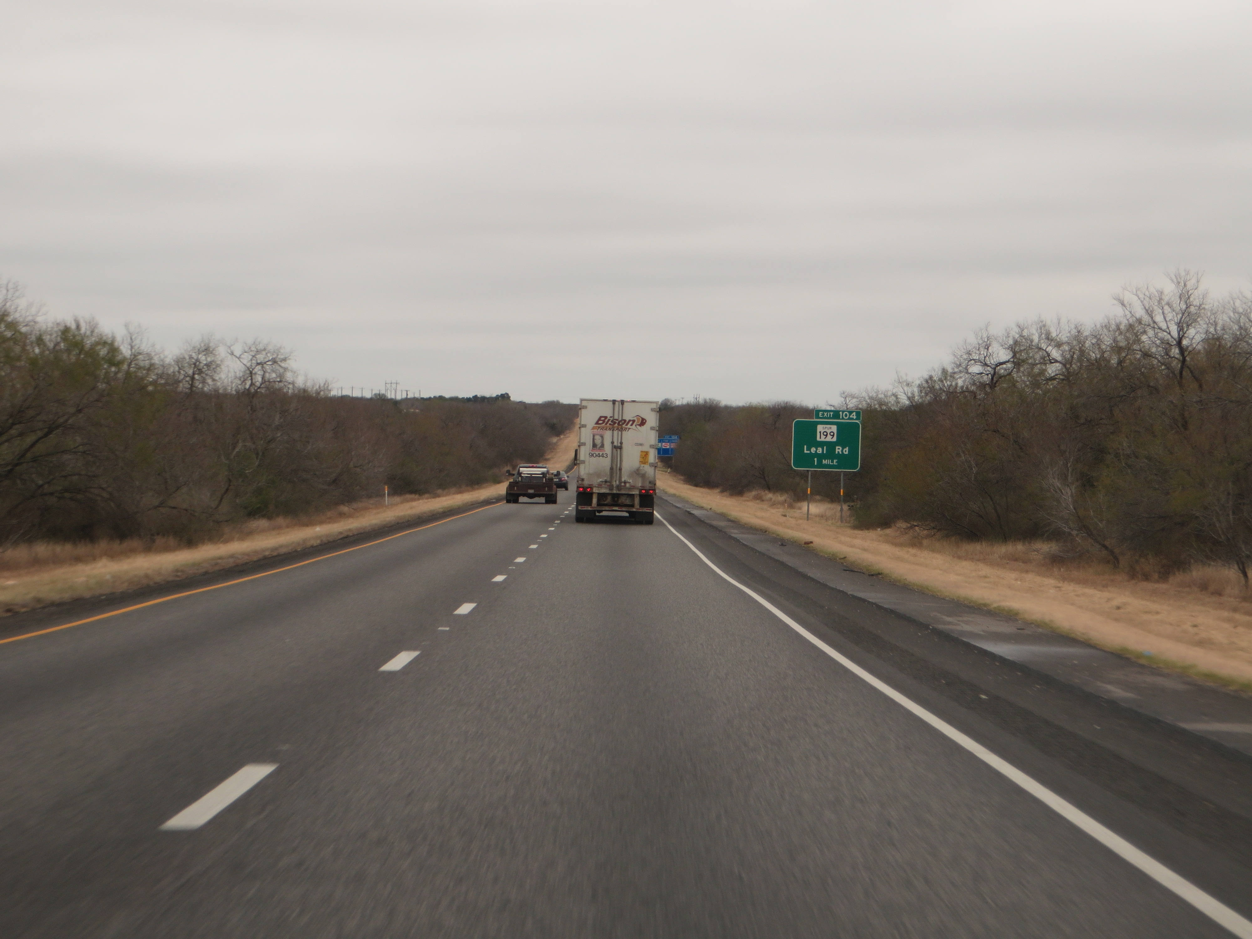
Interstate 37 Between San Antonio and Corpus Christi, Texas

Interstate 37 Between San Antonio and Corpus Christi, Texas
Interstate 37 Between San Antonio and Corpus Christi, Texas

Interstate 37 Between San Antonio and Corpus Christi, Texas
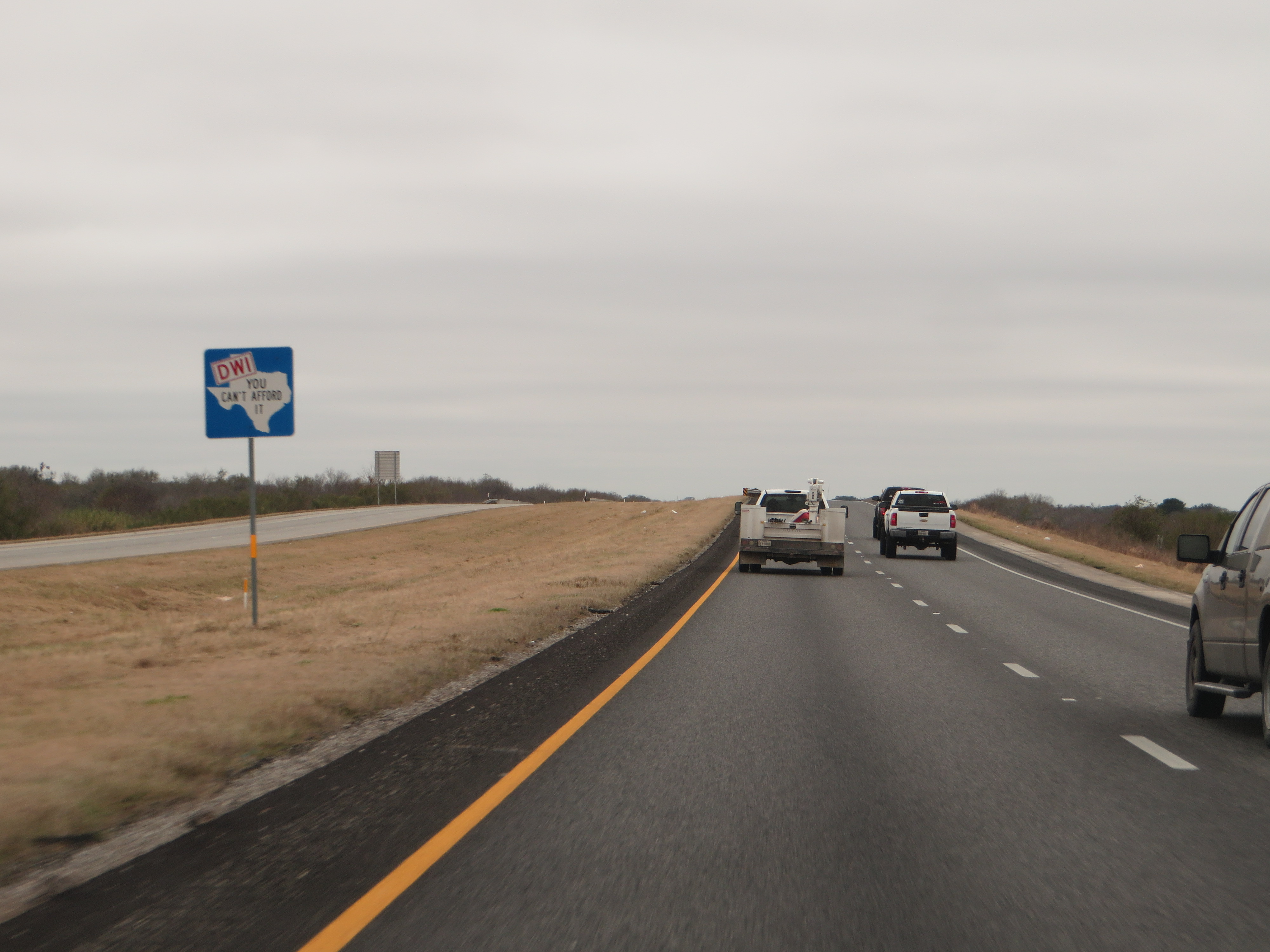
Dont Mess With Texas, Interstate 37 Between San Antonio and Corpus Christi, Texas
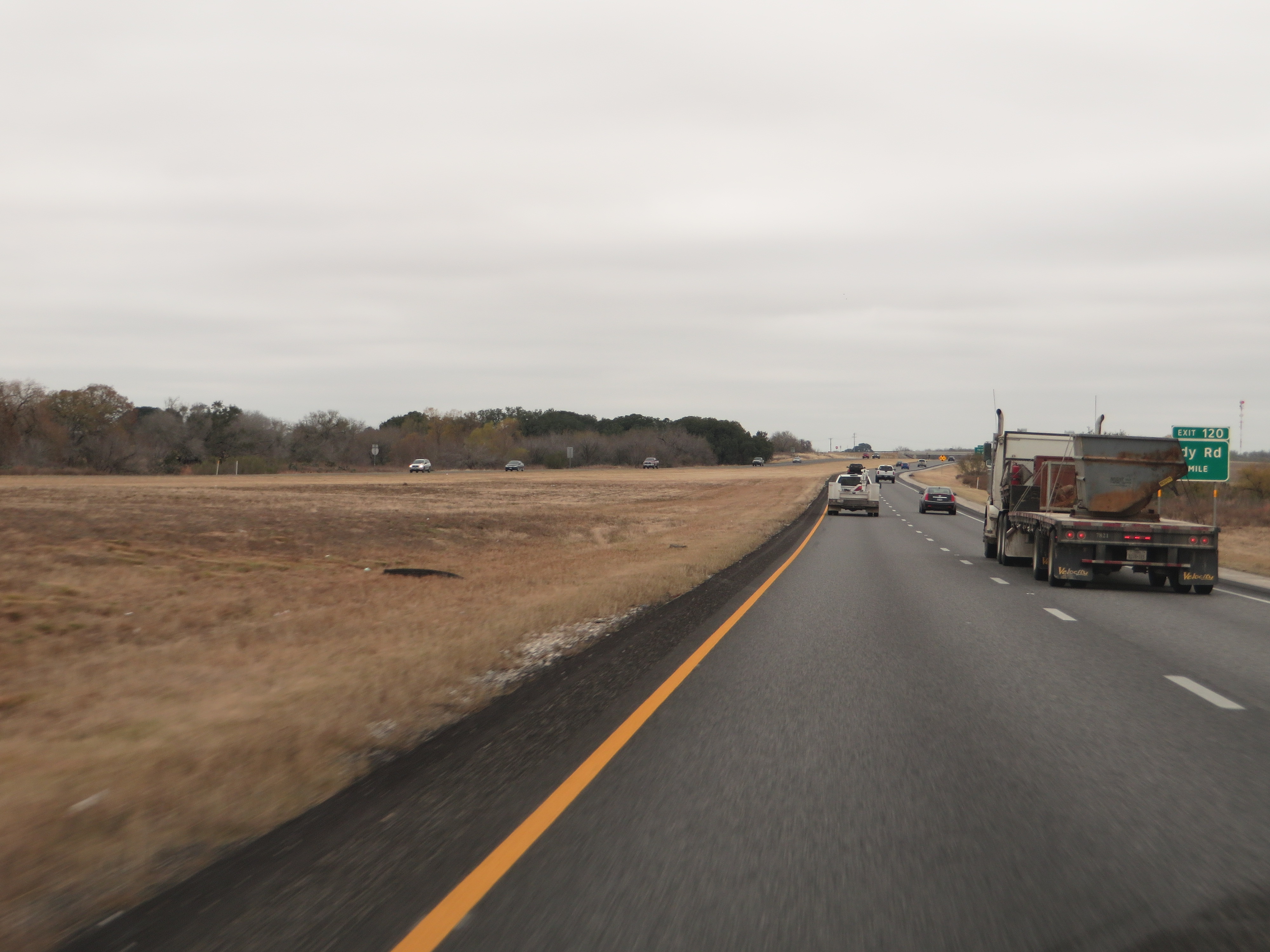
Interstate 37 Between San Antonio and Corpus Christi, Texas
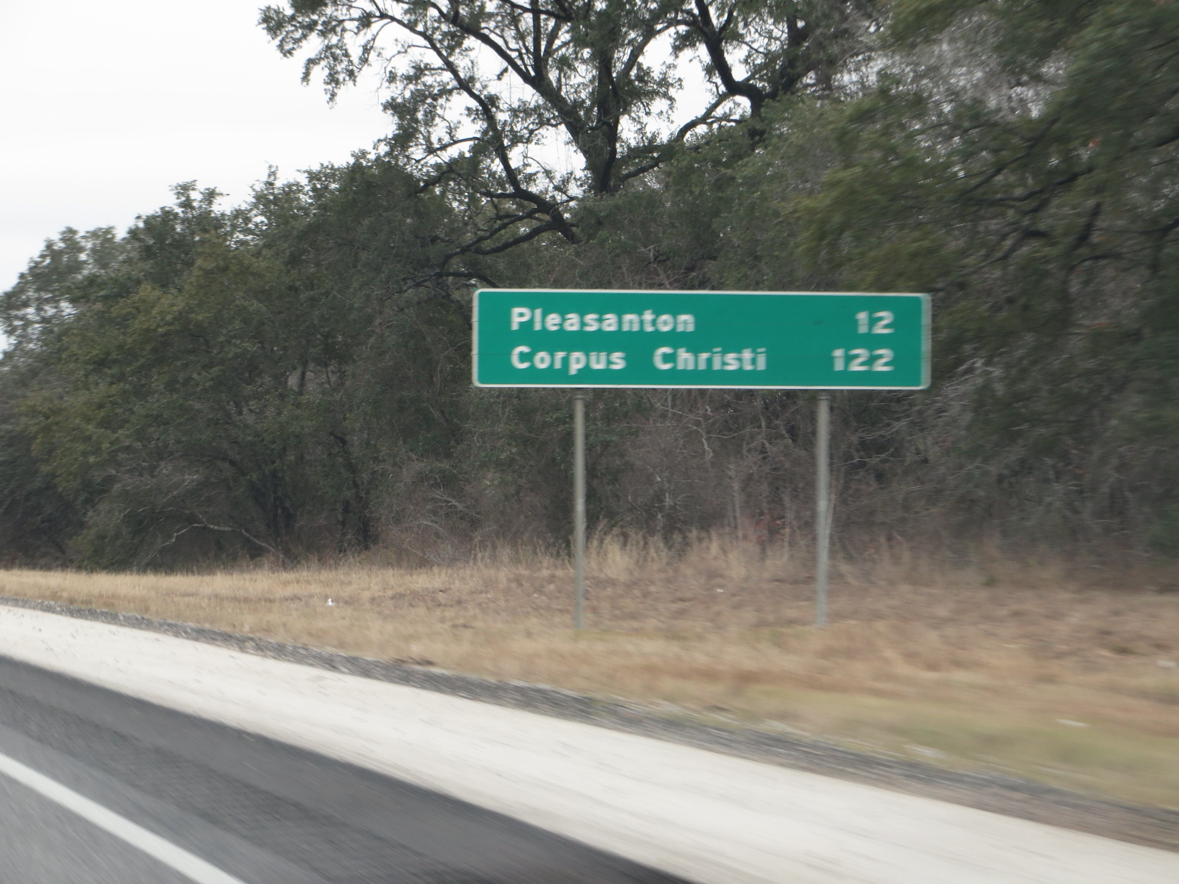
Interstate 37 Between San Antonio and Corpus Christi, Texas
Topographic Map of FM, Pleasanton, TX, USA
Find elevation by address:

Places near FM, Pleasanton, TX, USA:
FM, Pleasanton, TX, USA
185 S Trail
County Rd, Floresville, TX, USA
Jim Brite Rd, Pleasanton, TX, USA
6270 Fm2579
Cr, Floresville, TX, USA
330 Broken Arrow
250 Broken Arrow
County Road 159
FM, Floresville, TX, USA
Sacramento Icehouse
Elmendorf
Fm W, Floresville, TX, USA
528 10th St
Floresville
S Presa St, San Antonio, TX, USA
10615 Green Vista St
11205 Kosub Ln
585 Flower Trail Loop
1826 Burr Oak Ln
Recent Searches:
- Elevation of Gateway Blvd SE, Canton, OH, USA
- Elevation of East W.T. Harris Boulevard, E W.T. Harris Blvd, Charlotte, NC, USA
- Elevation of West Sugar Creek, Charlotte, NC, USA
- Elevation of Wayland, NY, USA
- Elevation of Steadfast Ct, Daphne, AL, USA
- Elevation of Lagasgasan, X+CQH, Tiaong, Quezon, Philippines
- Elevation of Rojo Ct, Atascadero, CA, USA
- Elevation of Flagstaff Drive, Flagstaff Dr, North Carolina, USA
- Elevation of Avery Ln, Lakeland, FL, USA
- Elevation of Woolwine, VA, USA