Elevation of FM, Floresville, TX, USA
Location: United States > Texas > Wilson County > Floresville >
Longitude: -98.319308
Latitude: 29.210176
Elevation: 130m / 427feet
Barometric Pressure: 100KPa
Elevation Map:
Satellite Map:
Related Photos:
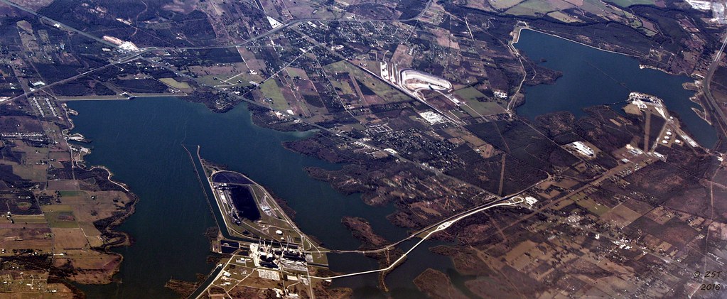
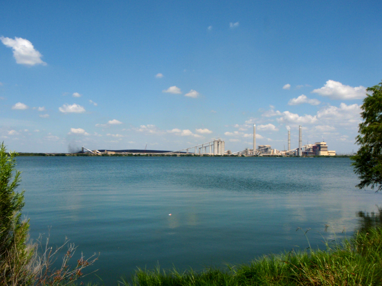
Calaveras Lake, San Antonio, TX

brian bike.jpg

Top of Cress Assay Oven

IMG_3301.jpg

brian bike bw.jpg
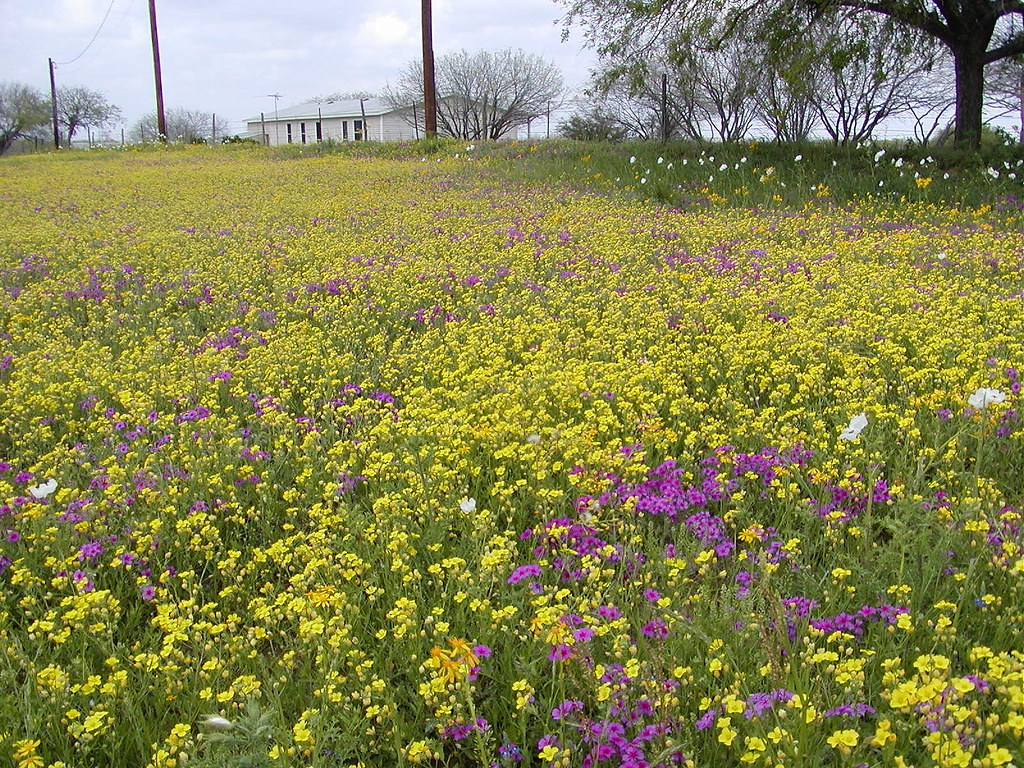
The Wildflowers have arrived
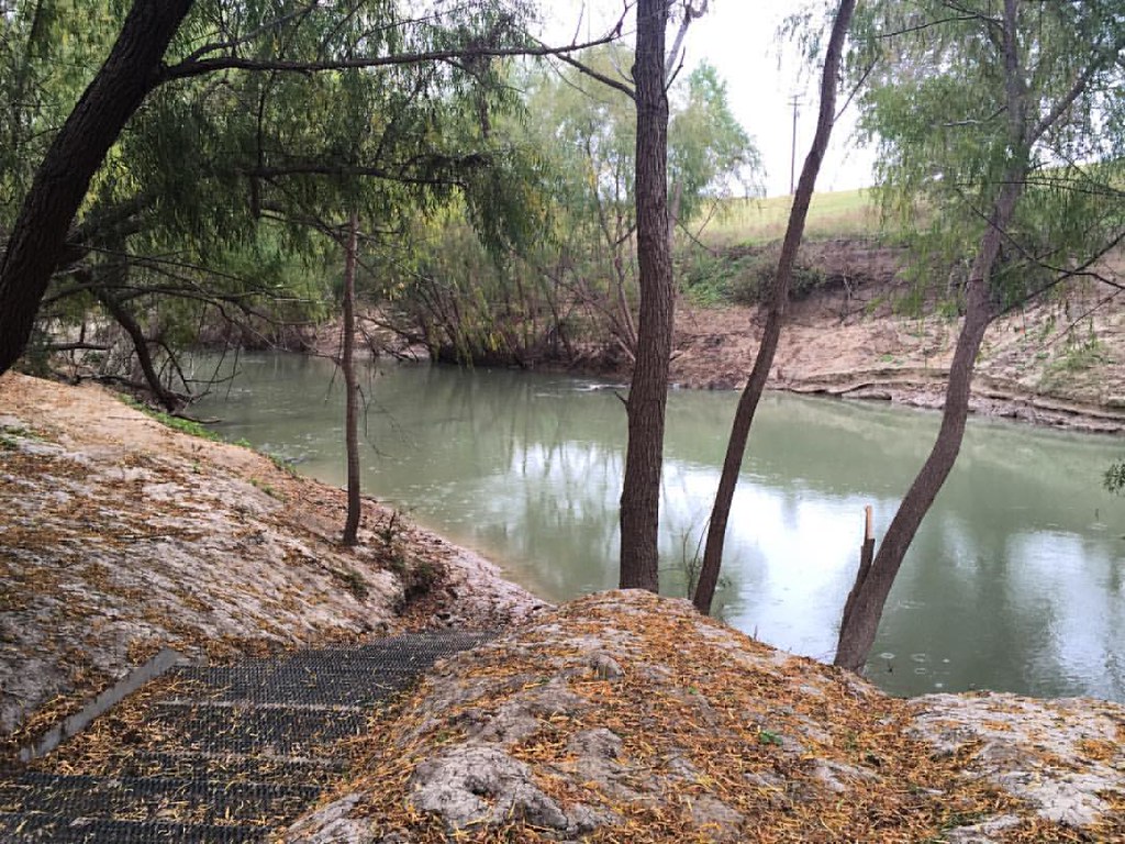
Morning along the river
Hmmm. I'm still a long way from home.
P5213077.JPG

P5213058.JPG
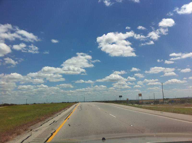
Interstate 37

Vesta Crescent
Topographic Map of FM, Floresville, TX, USA
Find elevation by address:

Places near FM, Floresville, TX, USA:
County Road 159
250 Broken Arrow
330 Broken Arrow
6270 Fm2579
Sacramento Icehouse
Elmendorf
11205 Kosub Ln
585 Flower Trail Loop
County Rd, Floresville, TX, USA
1826 Burr Oak Ln
9660 S Foster Rd
10615 Green Vista St
FM, Pleasanton, TX, USA
S Presa St, San Antonio, TX, USA
9006 Stuart Rd
S Foster Rd, San Antonio, TX, USA
528 10th St
3678 Lyster Rd
3302 S Ww White Rd
FM, Pleasanton, TX, USA
Recent Searches:
- Elevation of Gateway Blvd SE, Canton, OH, USA
- Elevation of East W.T. Harris Boulevard, E W.T. Harris Blvd, Charlotte, NC, USA
- Elevation of West Sugar Creek, Charlotte, NC, USA
- Elevation of Wayland, NY, USA
- Elevation of Steadfast Ct, Daphne, AL, USA
- Elevation of Lagasgasan, X+CQH, Tiaong, Quezon, Philippines
- Elevation of Rojo Ct, Atascadero, CA, USA
- Elevation of Flagstaff Drive, Flagstaff Dr, North Carolina, USA
- Elevation of Avery Ln, Lakeland, FL, USA
- Elevation of Woolwine, VA, USA