Elevation of County Road, County Rd, Floresville, TX, USA
Location: United States > Texas > Wilson County > Floresville >
Longitude: -98.323847
Latitude: 29.2087813
Elevation: 132m / 433feet
Barometric Pressure: 100KPa
Elevation Map:
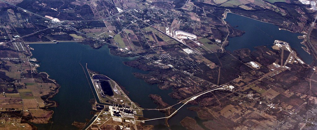
Satellite Map:
Related Photos:
Calaveras Lake, San Antonio, TX

Top of Cress Assay Oven

P5213058.JPG

Morning along the river

walking American Coot

P5213077.JPG

The Wildflowers have arrived

Part of a Wake of Black Vultures

Spring Bouquet

Hmmm. I'm still a long way from home.

Bluebonnets! As far as the eye can see. S. I37 just south of San Antonio
Topographic Map of County Road, County Rd, Floresville, TX, USA
Find elevation by address:

Places near County Road, County Rd, Floresville, TX, USA:
FM, Floresville, TX, USA
250 Broken Arrow
330 Broken Arrow
6270 Fm2579
Elmendorf
Sacramento Icehouse
11205 Kosub Ln
County Rd, Floresville, TX, USA
585 Flower Trail Loop
1826 Burr Oak Ln
9660 S Foster Rd
FM, Pleasanton, TX, USA
10615 Green Vista St
S Presa St, San Antonio, TX, USA
9006 Stuart Rd
S Foster Rd, San Antonio, TX, USA
528 10th St
3678 Lyster Rd
FM, Pleasanton, TX, USA
3302 S Ww White Rd
Recent Searches:
- Elevation of Congressional Dr, Stevensville, MD, USA
- Elevation of Bellview Rd, McLean, VA, USA
- Elevation of Stage Island Rd, Chatham, MA, USA
- Elevation of Shibuya Scramble Crossing, 21 Udagawacho, Shibuya City, Tokyo -, Japan
- Elevation of Jadagoniai, Kaunas District Municipality, Lithuania
- Elevation of Pagonija rock, Kranto 7-oji g. 8"N, Kaunas, Lithuania
- Elevation of Co Rd 87, Jamestown, CO, USA
- Elevation of Tenjo, Cundinamarca, Colombia
- Elevation of Côte-des-Neiges, Montreal, QC H4A 3J6, Canada
- Elevation of Bobcat Dr, Helena, MT, USA