Elevation of Fairview Dr, Yucaipa, CA, USA
Location: United States > California > San Bernardino County > Yucaipa >
Longitude: -117.05389
Latitude: 34.0220264
Elevation: 753m / 2470feet
Barometric Pressure: 93KPa
Elevation Map:
Satellite Map:
Related Photos:

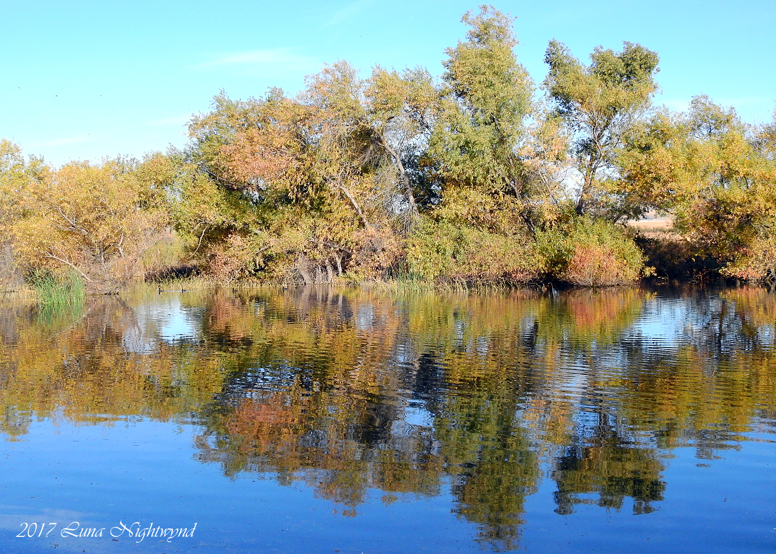
Sunset Valley I

Santa Ana River Valley

Live Oak Farms, Wagon 12-9-12

Swim Lane

View from the patio. Good morning ya'll!!!

Living Large, Canyon View, Redlands 5-19-13
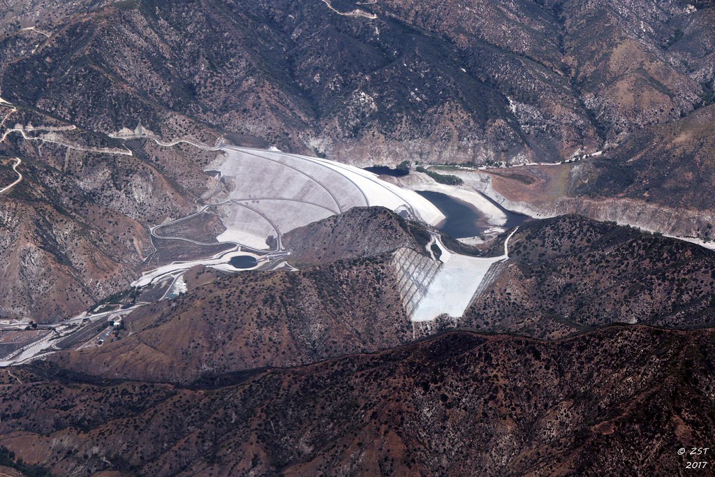
7 Oaks Dam
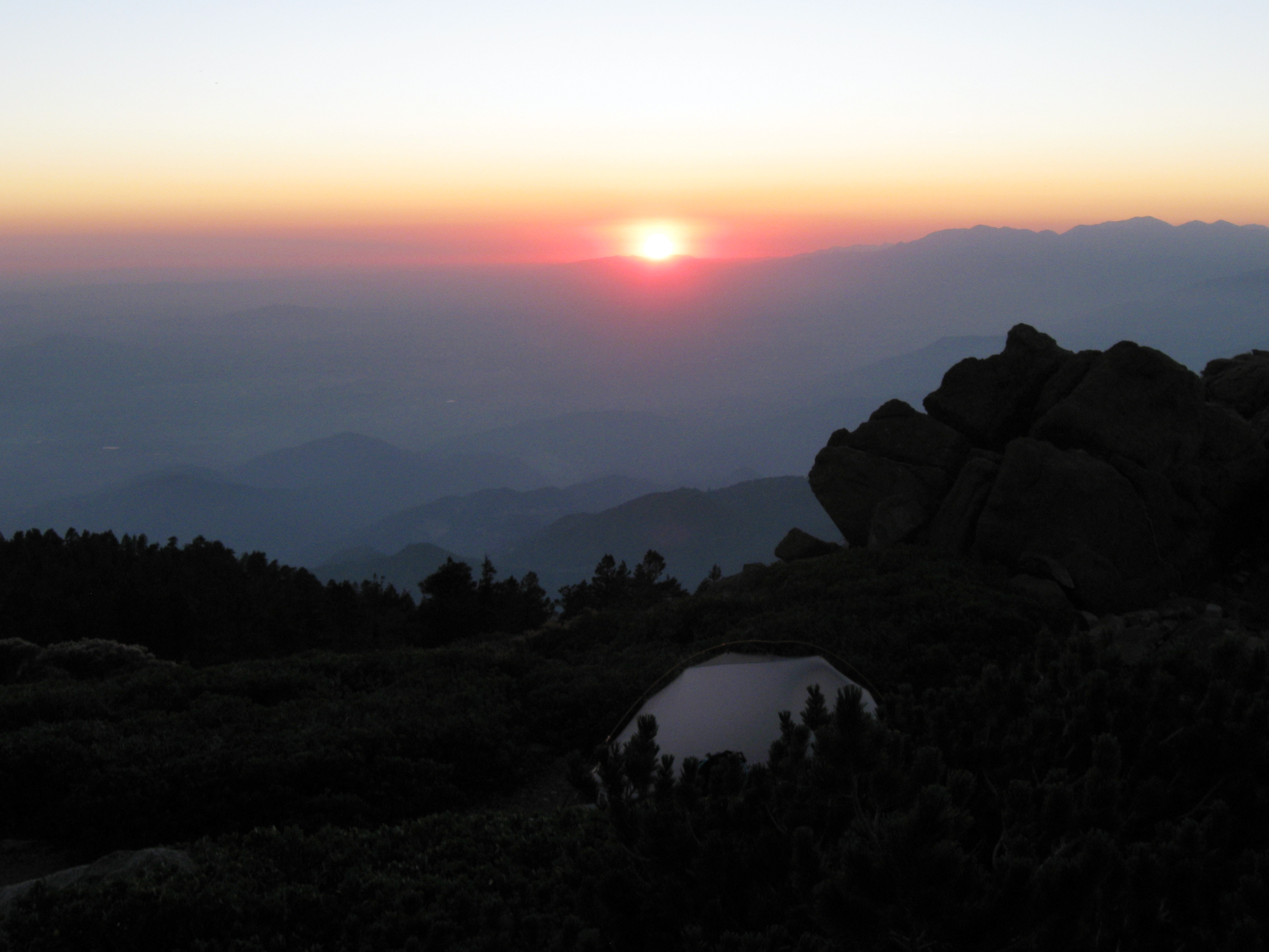
Sunset from Limber Pine Bench
Winding Road up Morton Peak

View from Buff Rd LE

Bogart Park_0068

ATK 714E @ El Casco

Big Falls Creek Long Exposure

Shooting Spot in the Hills

the view from here [7:52]

sunny rear view

Back From the Desert

Bogart Park_0059

What a view this morning!

Bogart Park_0041

Not Too Shabby

San Timoteo Nature Trail

Summer Splendor

UP 7492
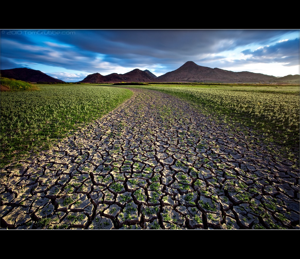
Earth and Renewal

Twilight Rocks and Stream

Snaking Up Beaumont

Yucaipa/Mentone Fire

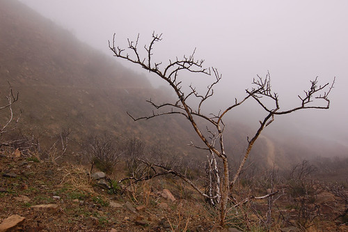
Lonely Tree

Spring Valley

Mill Creek Canyon

Mill Creek Storm Sunset

Mill Creek and Storm III

Bastille Day, 2014

Mill Creek - Mentone, CA, USA

Morey Mansion of Redlands
A touch of Autumn - 8-21 am - San Jacinto WR - 11-26-17
Sunsets are beautiful
Underworld II

Fire under a Full Moon II

Sunset Valley II
Topographic Map of Fairview Dr, Yucaipa, CA, USA
Find elevation by address:

Places near Fairview Dr, Yucaipa, CA, USA:
12821 4th St
12955 4th St
13063 5th St
Pecan Avenue
12367 4th St
12902 Foxwood Dr
12626 6th St
34069 Avenue E
12406 3rd St
12375 6th St
12700 2nd St
12813 7th St
34111 Wildwood Canyon Rd
12700 2nd St
12220 5th St
33832 Fairview Dr
33832 Fairview Dr
12820 Cypress St
Lily Road
33773 Noreen Ln
Recent Searches:
- Elevation of 3 Nestling Wood Dr, Long Valley, NJ, USA
- Elevation of Ilungu, Tanzania
- Elevation of Yellow Springs Road, Yellow Springs Rd, Chester Springs, PA, USA
- Elevation of Rēzekne Municipality, Latvia
- Elevation of Plikpūrmaļi, Vērēmi Parish, Rēzekne Municipality, LV-, Latvia
- Elevation of 2 Henschke Ct, Caboolture QLD, Australia
- Elevation of Redondo Ave, Long Beach, CA, USA
- Elevation of Sadovaya Ulitsa, 20, Rezh, Sverdlovskaya oblast', Russia
- Elevation of Ulitsa Kalinina, 79, Rezh, Sverdlovskaya oblast', Russia
- Elevation of 72-31 Metropolitan Ave, Middle Village, NY, USA