Elevation of Noreen Ln, Yucaipa, CA, USA
Location: United States > California > San Bernardino County > Yucaipa >
Longitude: -117.06755
Latitude: 34.0228772
Elevation: 725m / 2379feet
Barometric Pressure: 93KPa
Elevation Map:
Satellite Map:
Related Photos:

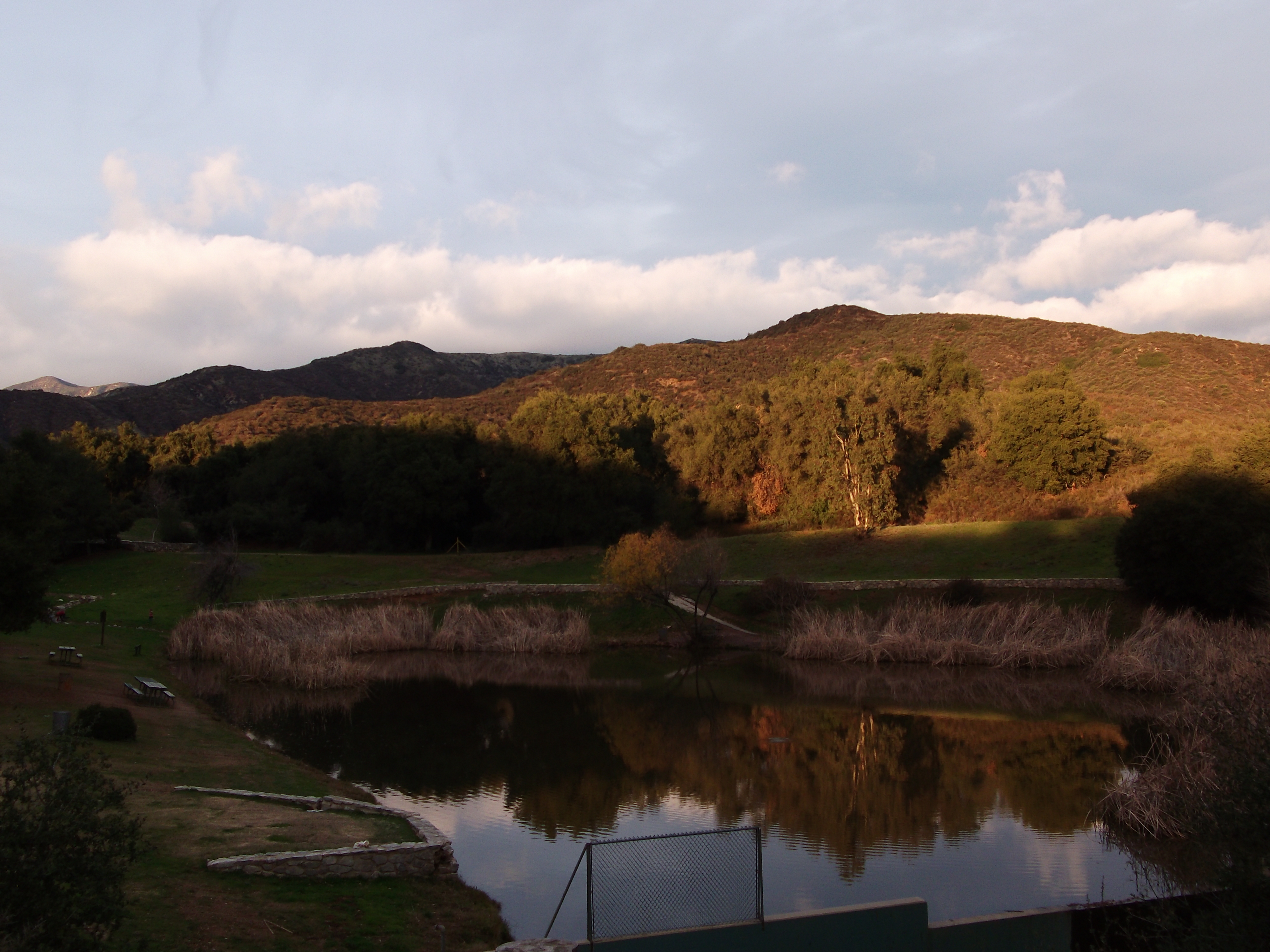
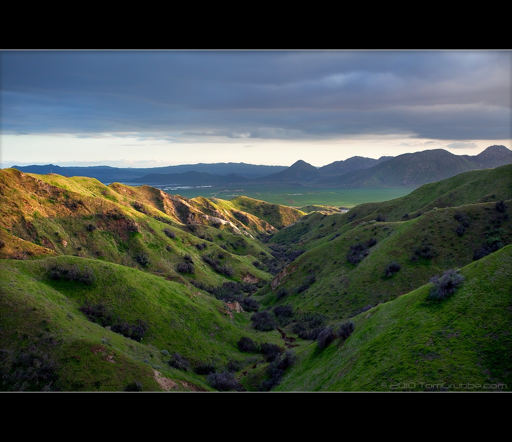
Sunset Valley I

View from Buff Rd LE

Bogart Park_0068

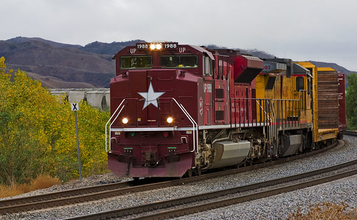
ATK 714E @ El Casco

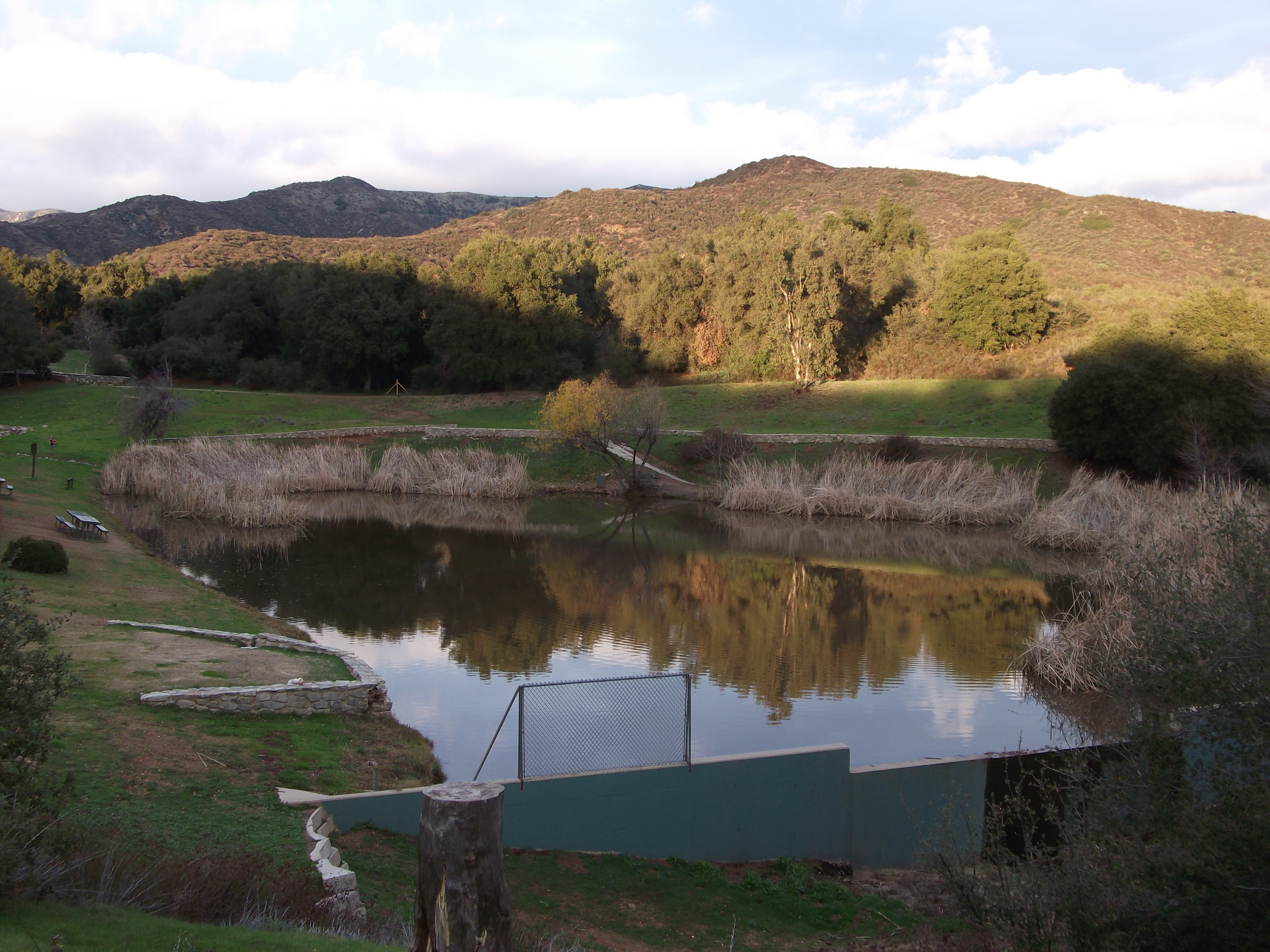
Shooting Spot in the Hills

the view from here [7:52]

sunny rear view

Bogart Park_0059

Bogart Park_0041

Original to these lands.

Live Oak Farms, Wagon 12-9-12

Bogart Park_0039

Swim Lane

Bogart Park_0003

View from the patio. Good morning ya'll!!!

Living Large, Canyon View, Redlands 5-19-13
Bogart Park_0069
Katy through San Timoteo
Bogart Park_0070
Winding Road up Morton Peak
Valley View II

Snow Creek

palm trees. north redlands, ca. 2011.
Earth and Renewal

Snaking Up Beaumont

Spring Valley

Mill Creek Storm Sunset

Morey Mansion of Redlands
Underworld II

Sunset Valley II
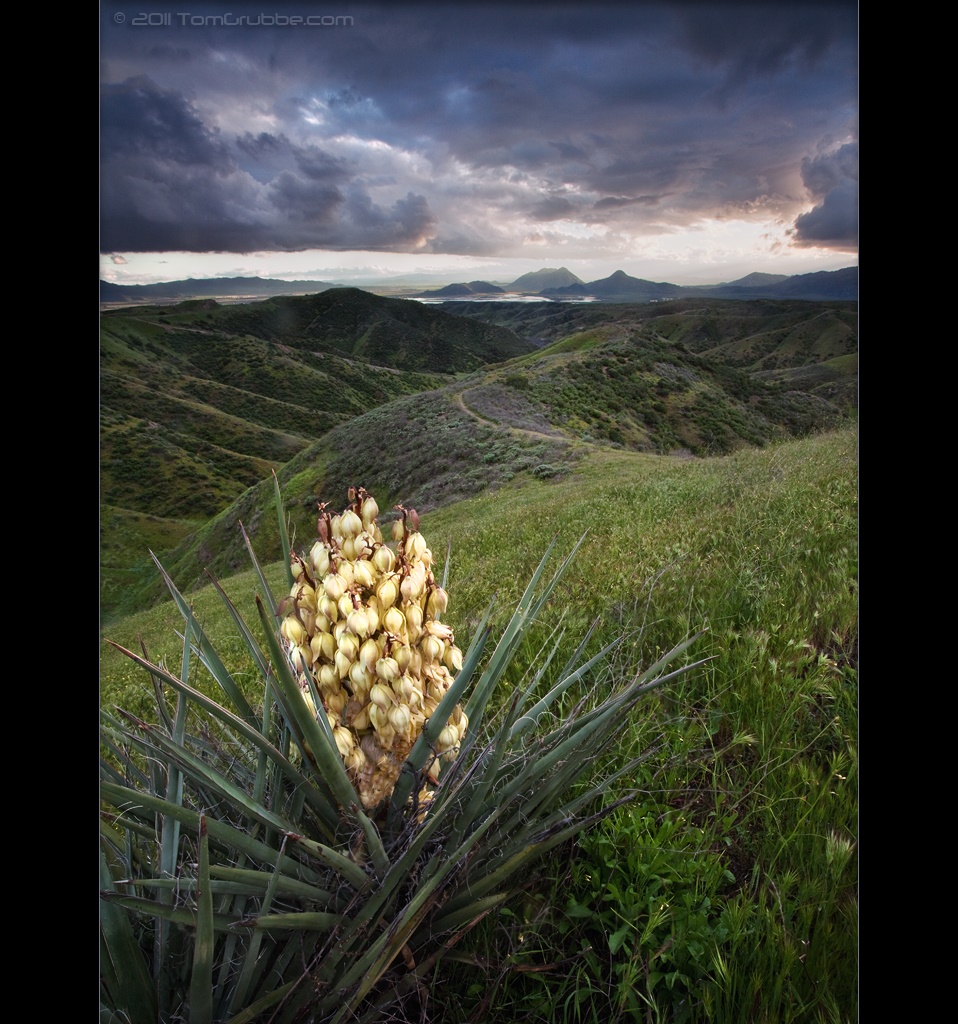
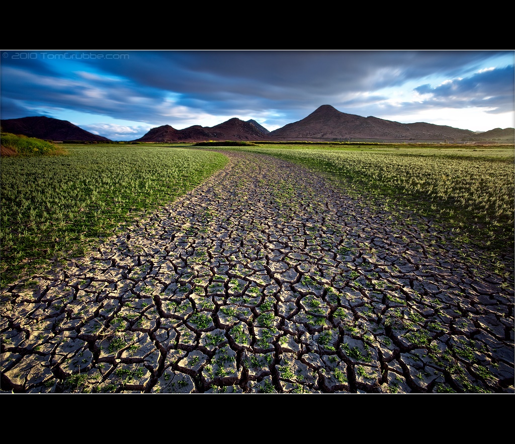
Yucca Plant and Storm
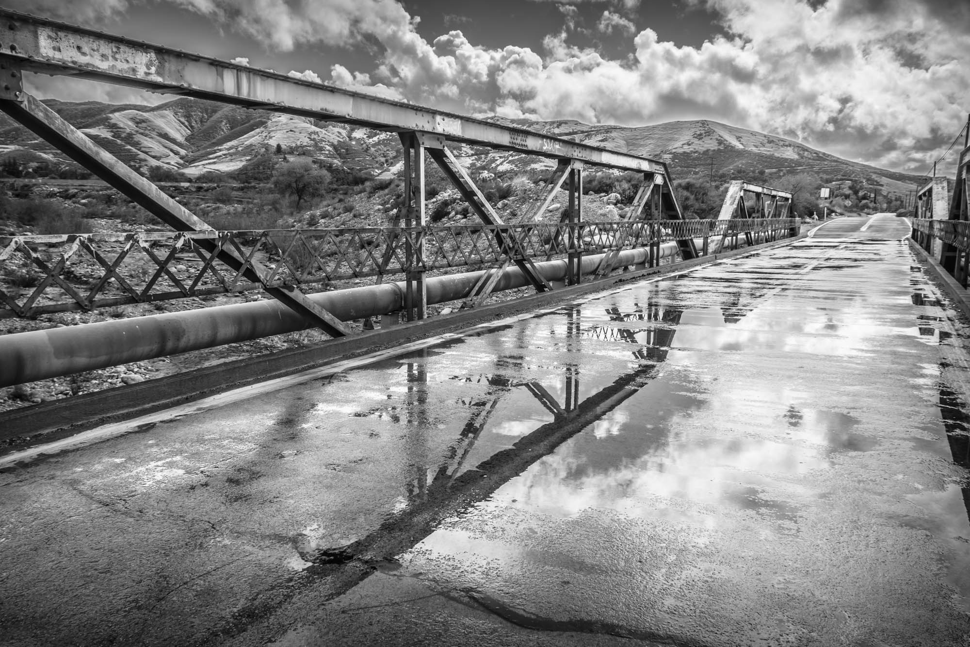
Garnet St. Bridge - Mentone, CA, USA

San Timoteo Nature Trail

Summer Splendor
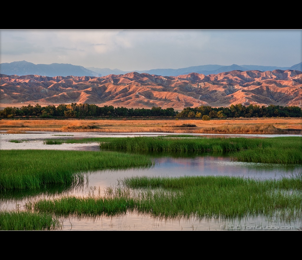
Grass and Badlands

UP 7492

Twilight Rocks and Stream

Yucaipa/Mentone Fire

Mill Creek Canyon

Mill Creek and Storm III

Mill Creek - Mentone, CA, USA
Topographic Map of Noreen Ln, Yucaipa, CA, USA
Find elevation by address:

Places near Noreen Ln, Yucaipa, CA, USA:
33832 Fairview Dr
33832 Fairview Dr
12820 Cypress St
12813 7th St
12626 6th St
34069 Avenue E
12375 6th St
Lily Road
34111 Wildwood Canyon Rd
33925 Pinehurst Dr
Pecan Avenue
12220 5th St
33800 Chapman Heights Rd
13063 5th St
34420 Fairview Dr
12955 4th St
33885 Cansler Way
12821 4th St
12367 4th St
35067 Castle Pines Dr
Recent Searches:
- Elevation of 12 Hutchinson Woods Dr, Fletcher, NC, USA
- Elevation of Holloway Ave, San Francisco, CA, USA
- Elevation of Norfolk, NY, USA
- Elevation of - San Marcos Pass Rd, Santa Barbara, CA, USA
- Elevation of th Pl SE, Issaquah, WA, USA
- Elevation of 82- D Rd, Captain Cook, HI, USA
- Elevation of Harlow CM20 2PR, UK
- Elevation of Shenyang Agricultural University, Dong Ling Lu, Shen He Qu, Shen Yang Shi, Liao Ning Sheng, China
- Elevation of Alpha Dr, Melbourne, FL, USA
- Elevation of Hiroshima University, 1-chōme-3-2 Kagamiyama, Higashihiroshima, Hiroshima -, Japan