Elevation of Fairview Dr, Yucaipa, CA, USA
Location: United States > California > San Bernardino County > Yucaipa >
Longitude: -117.06637
Latitude: 34.022764
Elevation: 725m / 2379feet
Barometric Pressure: 93KPa
Elevation Map:
Satellite Map:
Related Photos:

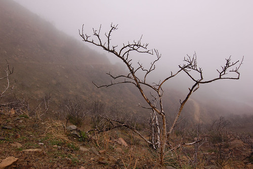
Sunset Valley I

the view from here [7:52]

sunny rear view

Winter Pond, Oak Glen, CA 1-19-13
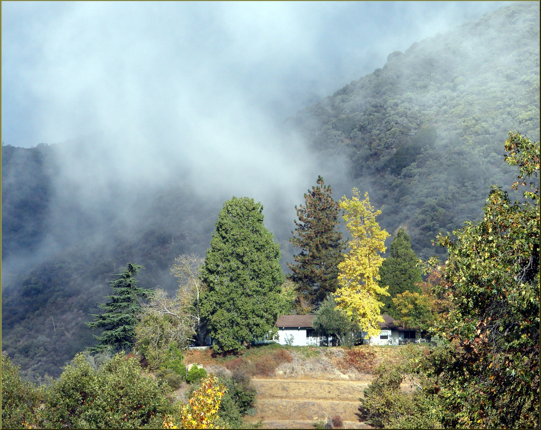
Winding Road up Morton Peak
Spring Valley

My view from below at breakfast.
Oak Glen Harvest Time 11-10-12

View from Buff Rd LE

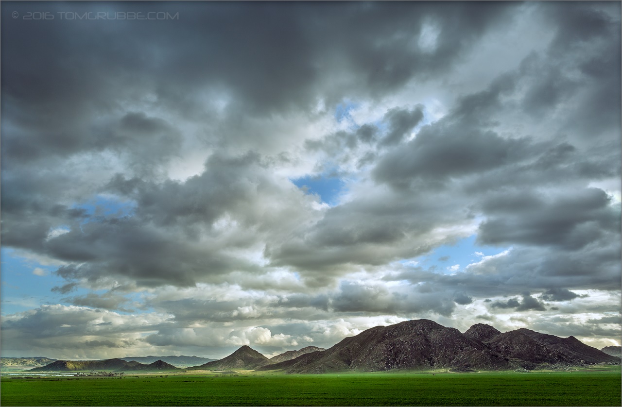
Valley View

ATK 714E @ El Casco

Not Too Shabby

palm trees. north redlands, ca. 2011.

Bogart Park_0068

"Fall has always been my favorite season

Original to these lands.

Live Oak Farms, Wagon 12-9-12

View from the patio. Good morning ya'll!!!

Living Large, Canyon View, Redlands 5-19-13
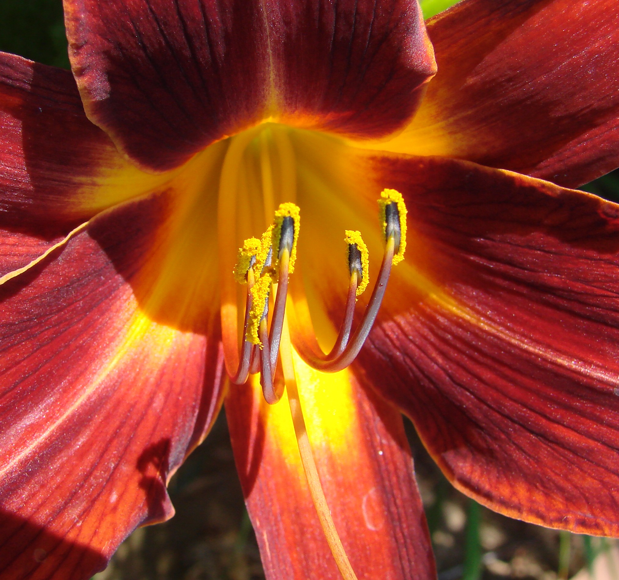
Daylillies (2) 7-7-12

Bogart Park_0041

Summer Splendor

Hills from Jack Rabbit Trail
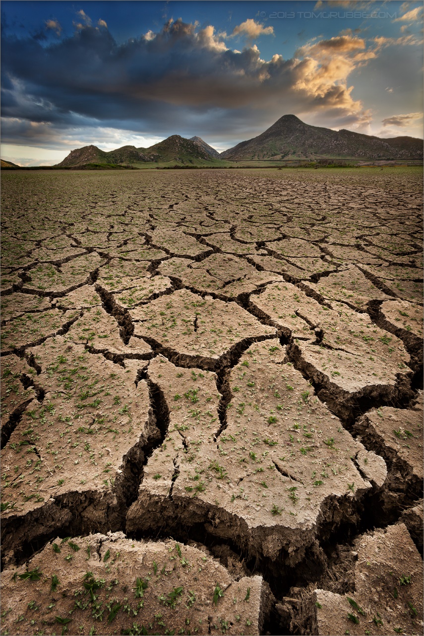
Grass and Badlands

UP 7492
September Pond

Fire under a Full Moon II

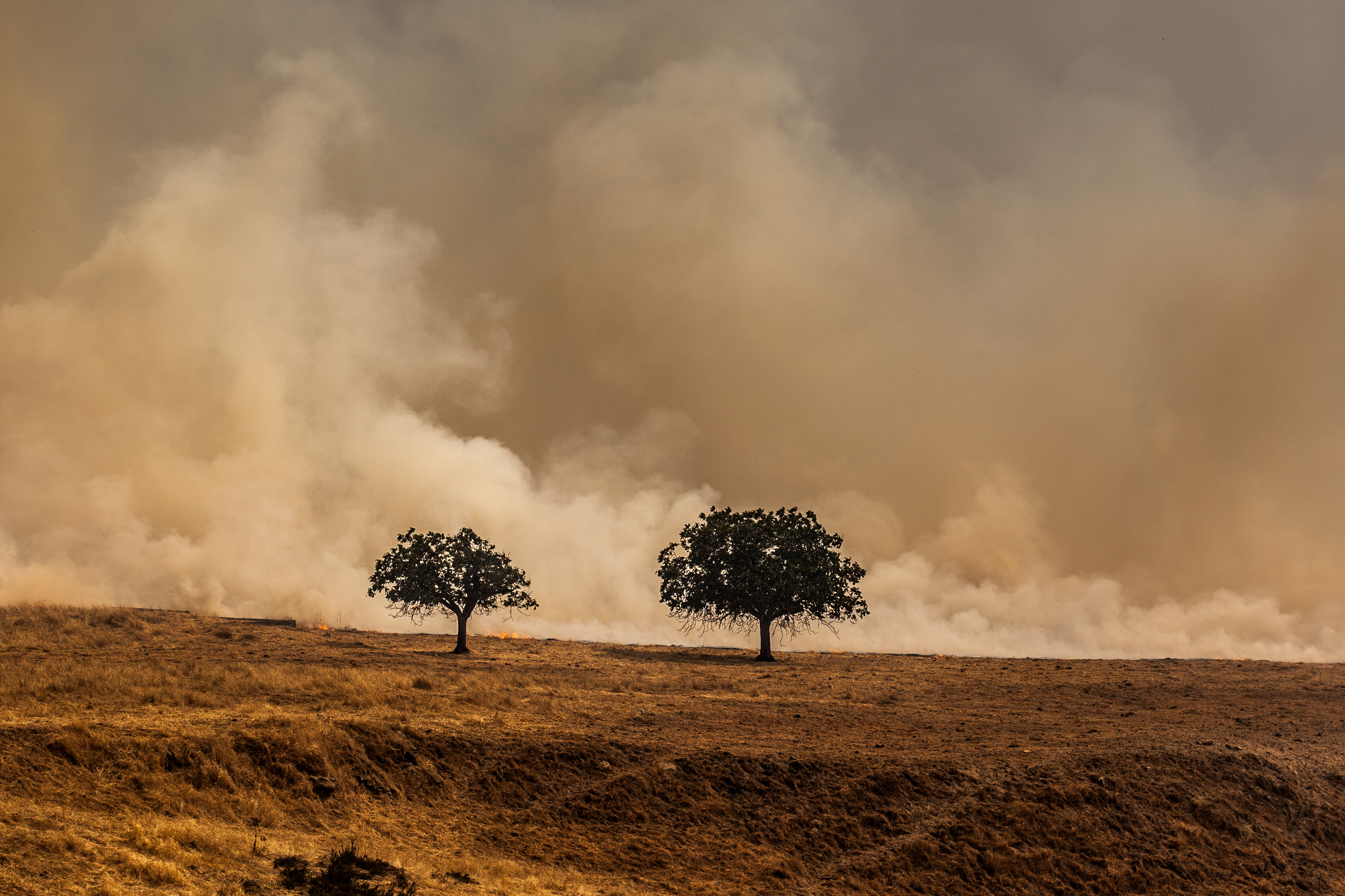
Yucaipa/Mentone Fire
A Storm's Reward

Morey Mansion of Redlands
Sunset Melody
Underworld II

Sunset Valley II
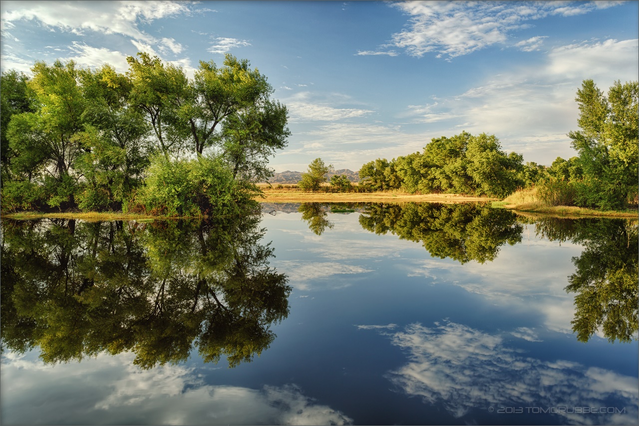
Summer Pond

palm trees. north redlands, ca. 2011.
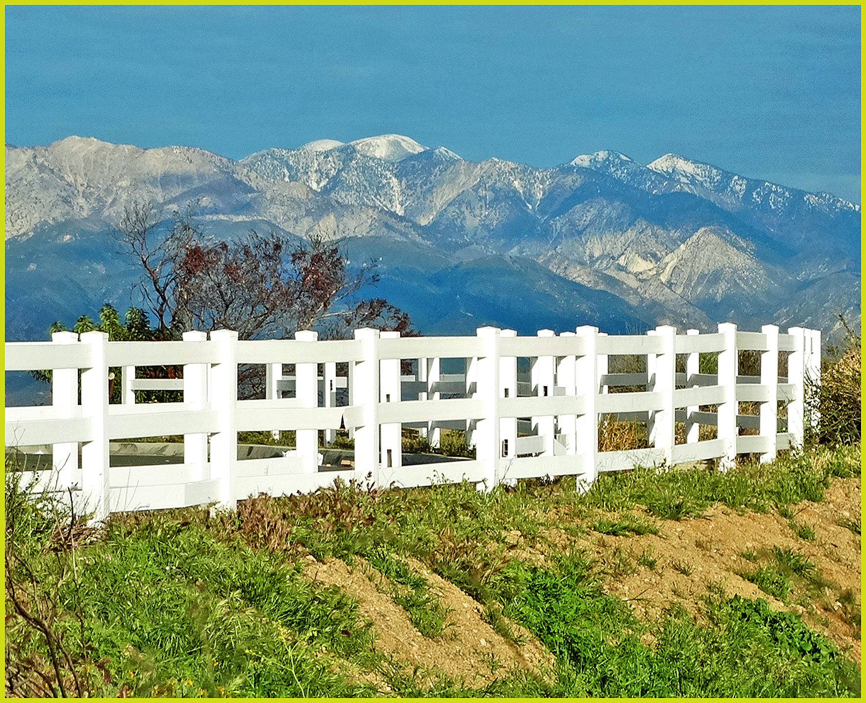
Mt. Baldy from Panorama Pt 3-9-14f
Fireside, the Burning
Topographic Map of Fairview Dr, Yucaipa, CA, USA
Find elevation by address:

Places near Fairview Dr, Yucaipa, CA, USA:
33832 Fairview Dr
33773 Noreen Ln
12820 Cypress St
12813 7th St
12626 6th St
34069 Avenue E
12375 6th St
Lily Road
34111 Wildwood Canyon Rd
Pecan Avenue
12220 5th St
13063 5th St
33925 Pinehurst Dr
34420 Fairview Dr
33800 Chapman Heights Rd
12955 4th St
12821 4th St
33885 Cansler Way
12367 4th St
34227 Pinehurst Dr
Recent Searches:
- Elevation of 10 Mountain Laurels Dr, Nashua, NH, USA
- Elevation of 16 Gilboa Ln, Nashua, NH, USA
- Elevation of Laurel Rd, Townsend, TN, USA
- Elevation of 3 Nestling Wood Dr, Long Valley, NJ, USA
- Elevation of Ilungu, Tanzania
- Elevation of Yellow Springs Road, Yellow Springs Rd, Chester Springs, PA, USA
- Elevation of Rēzekne Municipality, Latvia
- Elevation of Plikpūrmaļi, Vērēmi Parish, Rēzekne Municipality, LV-, Latvia
- Elevation of 2 Henschke Ct, Caboolture QLD, Australia
- Elevation of Redondo Ave, Long Beach, CA, USA