Elevation of Eureka, MT, USA
Location: United States > Montana > Lincoln County > Eureka >
Longitude: -114.91935
Latitude: 48.8900667
Elevation: 1482m / 4862feet
Barometric Pressure: 85KPa
Elevation Map:
Satellite Map:
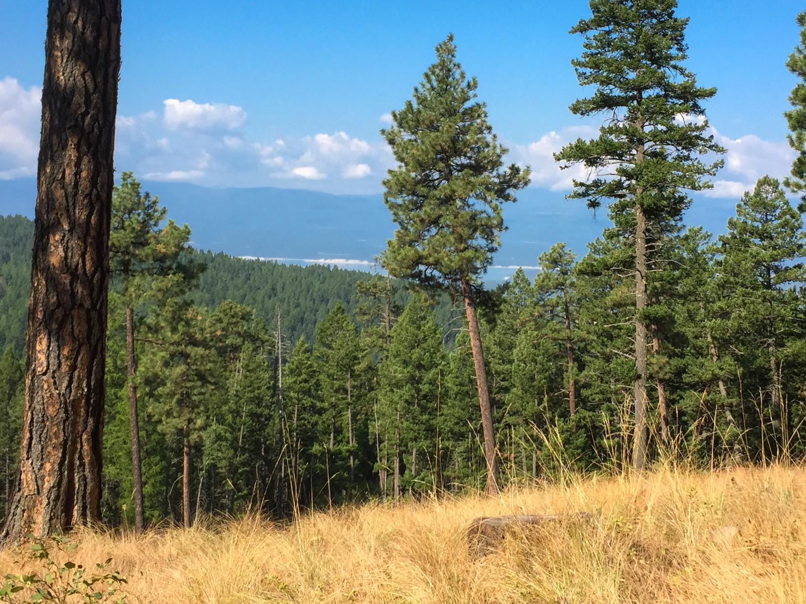
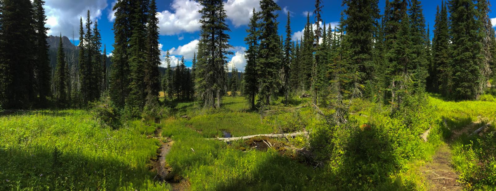
Related Photos:
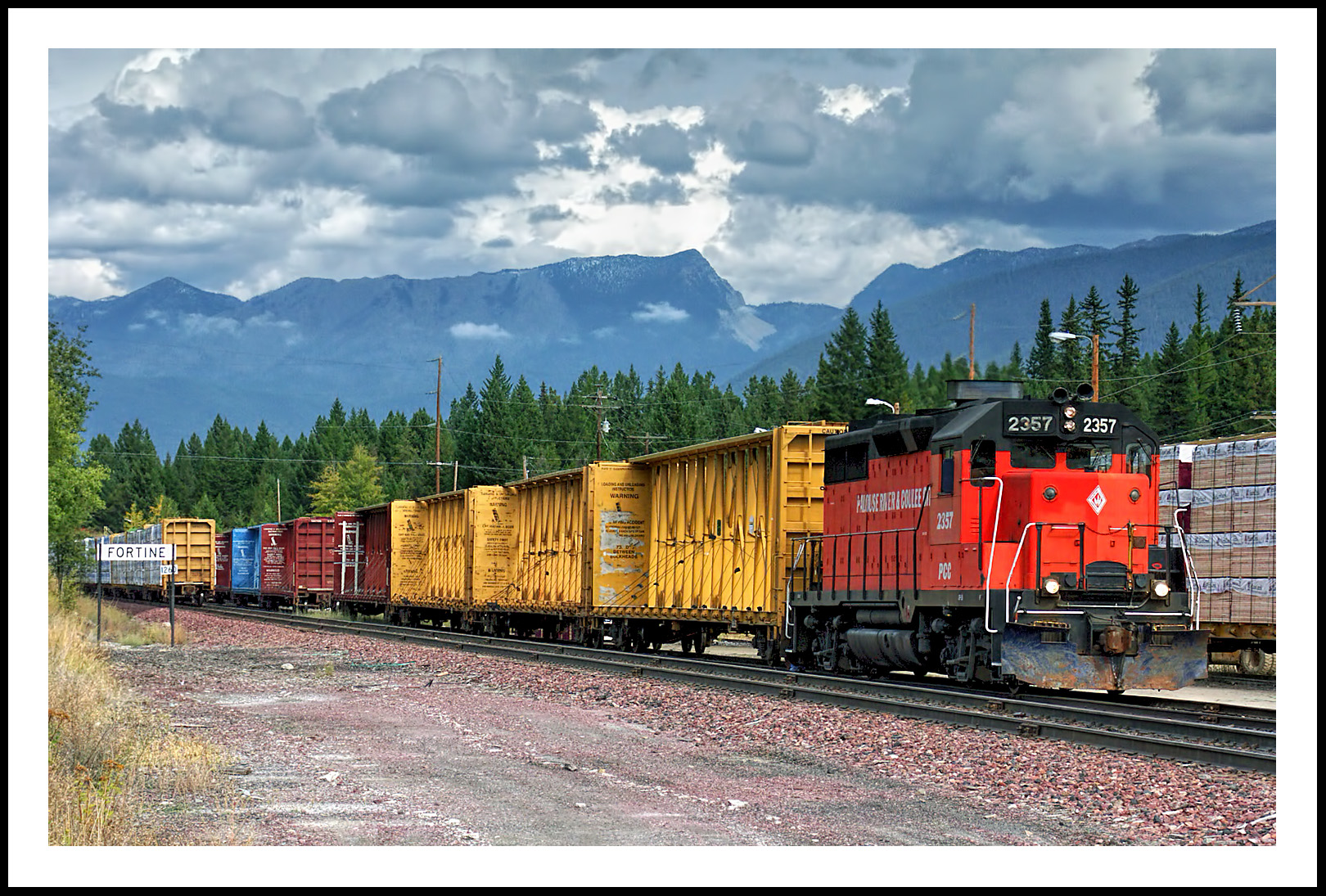
The Mission Mountain Railroad in Fortine, Montana
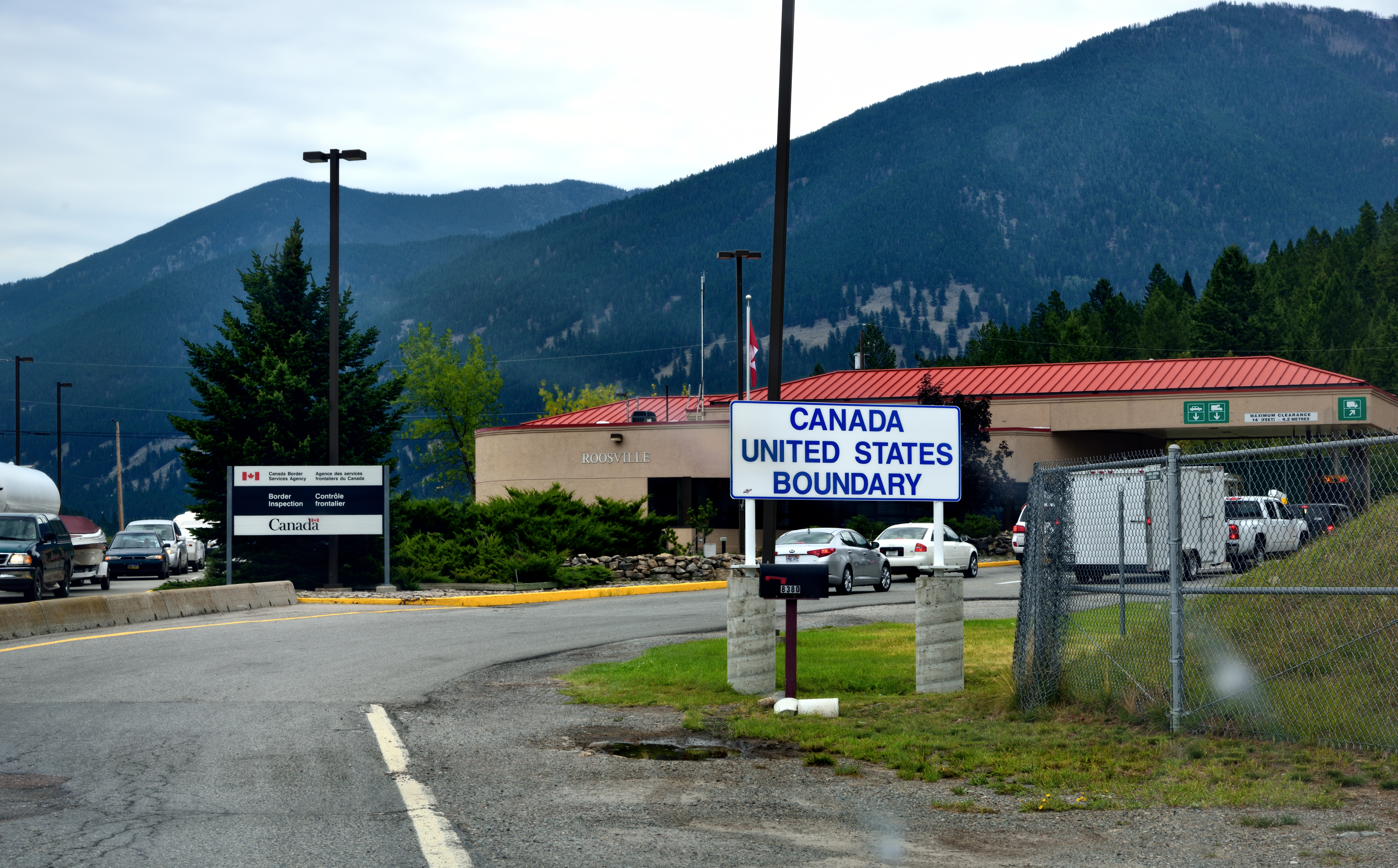
Crossing into Canada...
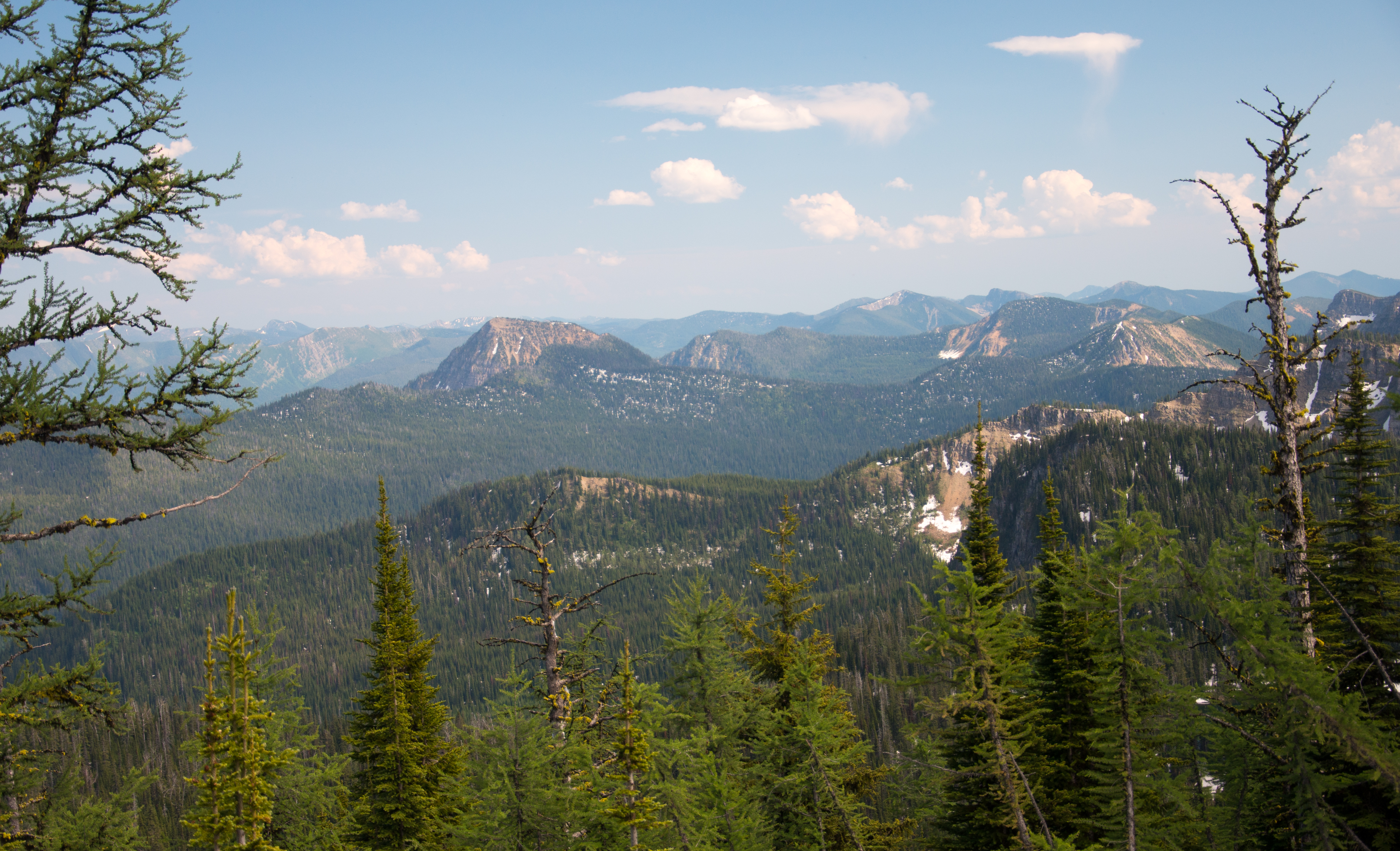
A broad view of the Ten Lakes Scenic Area from the Pacific Northwest Trail, including Mt. Wam, Stahl Peak, and St. Clair Peak, Kootenai National Forest in Northwest Montana
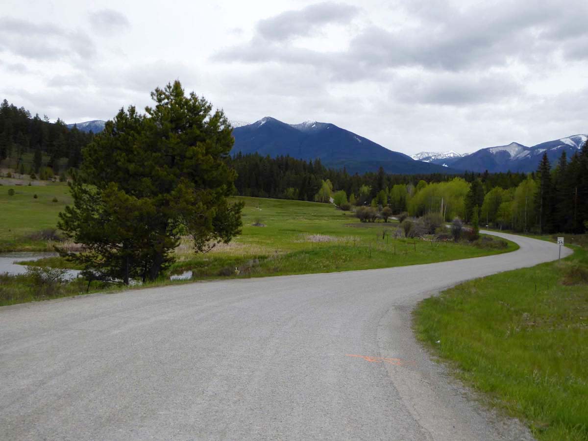
Marston, Montana
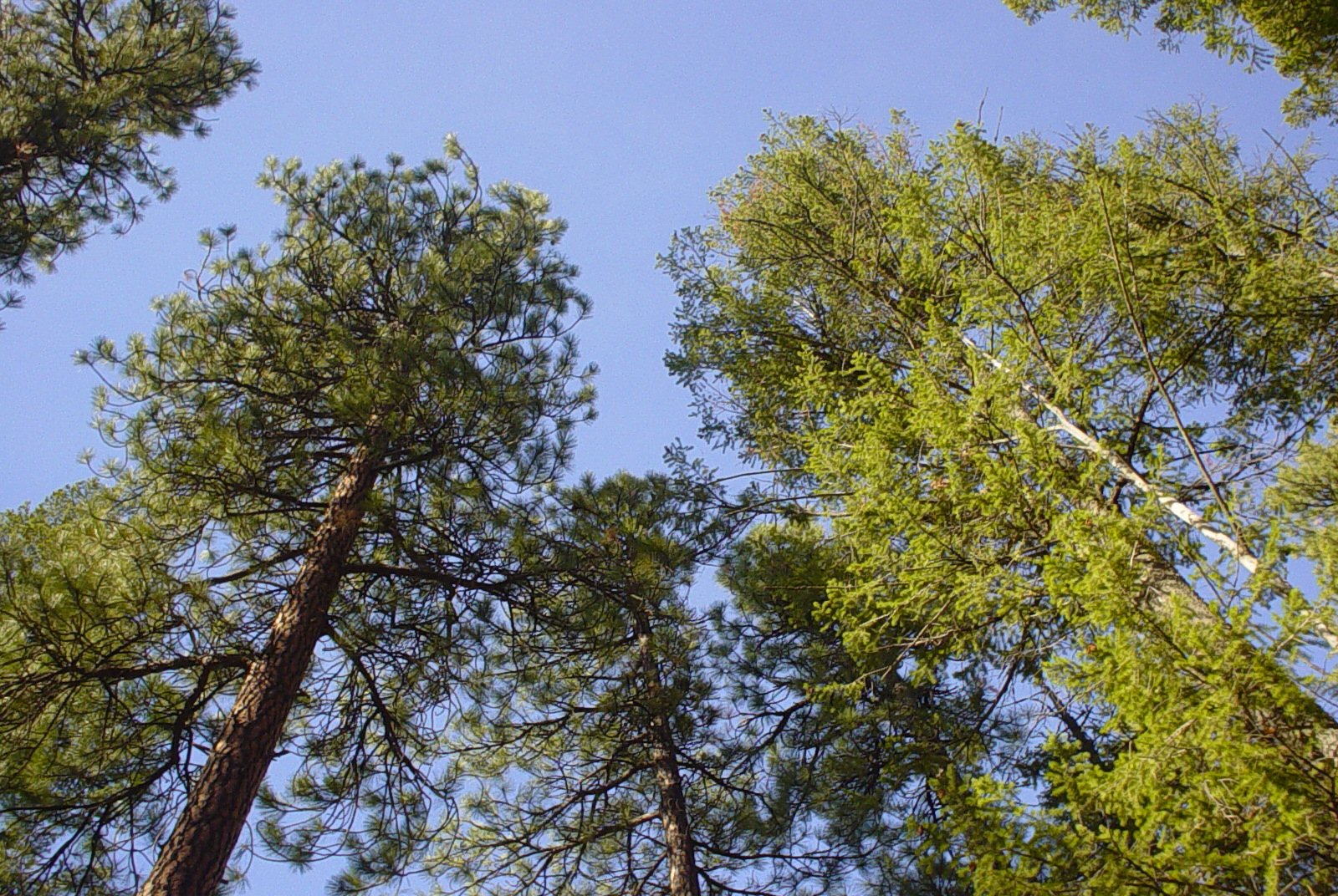
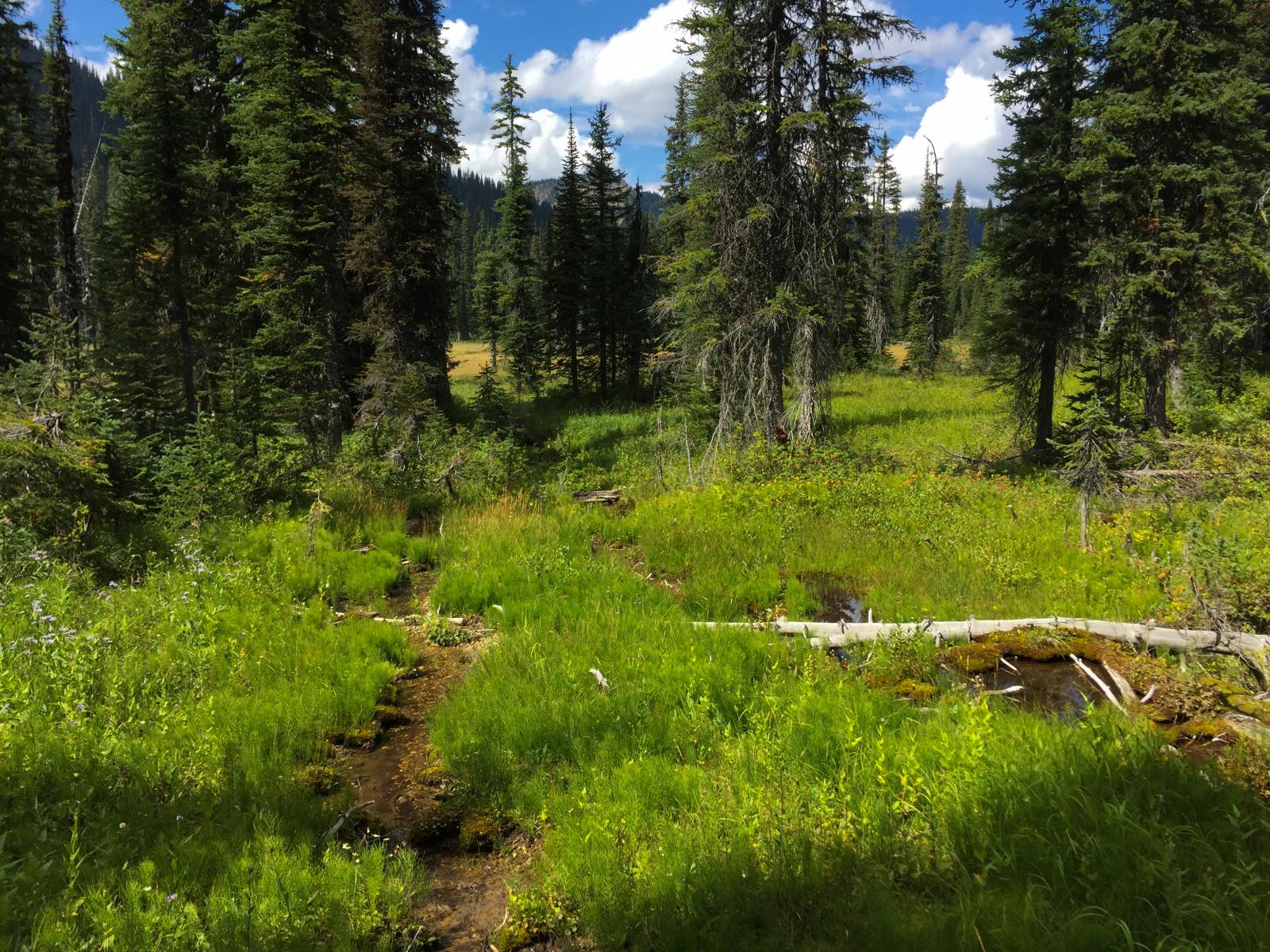
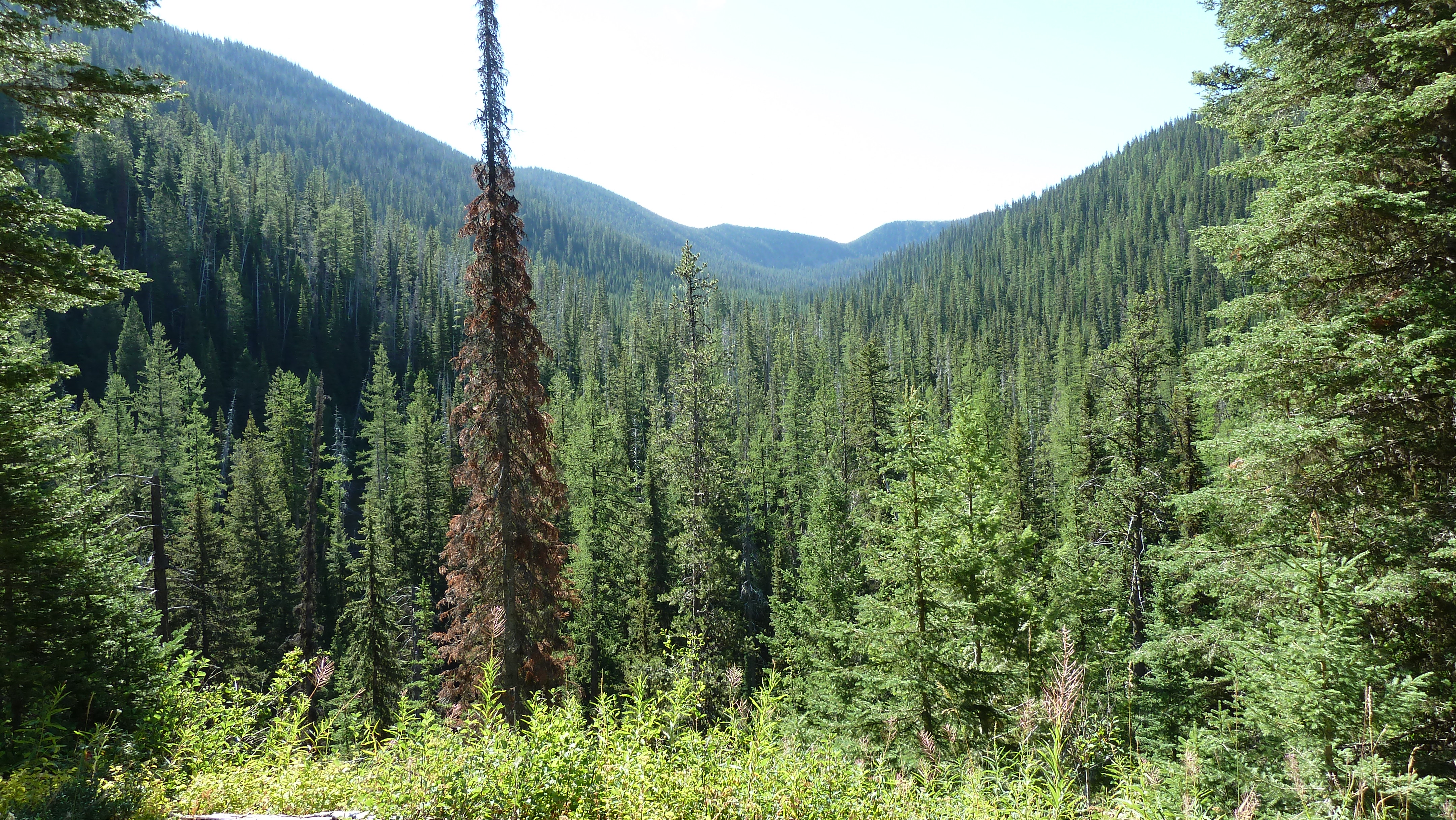
Trees and Sky
Lake Koocanusa from the Pacific Northwest Trail near the Canadian border
Big Therriault Lake trail, Kootenai National Forest
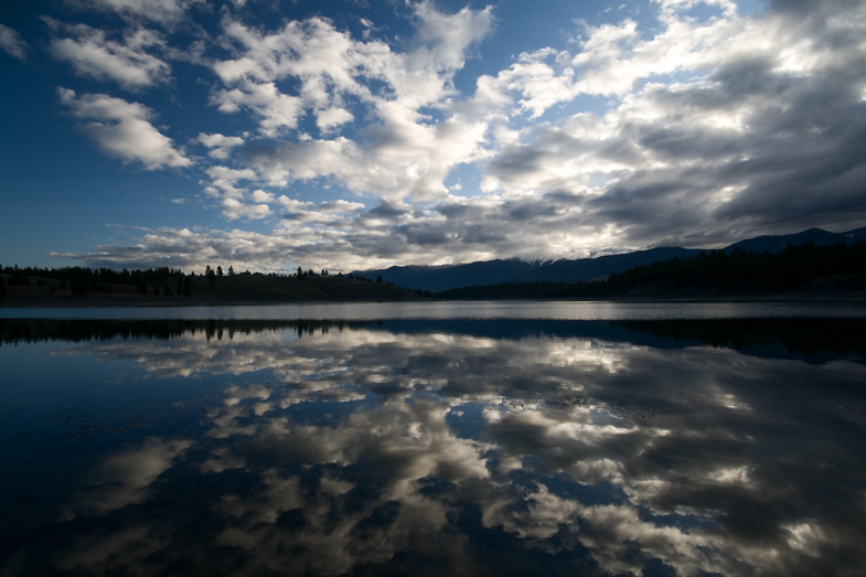
Sophie Lake at sunrise
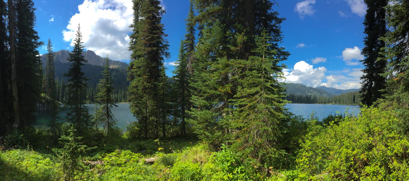
Big Therriault Lake panorama, Kootenai National Forest
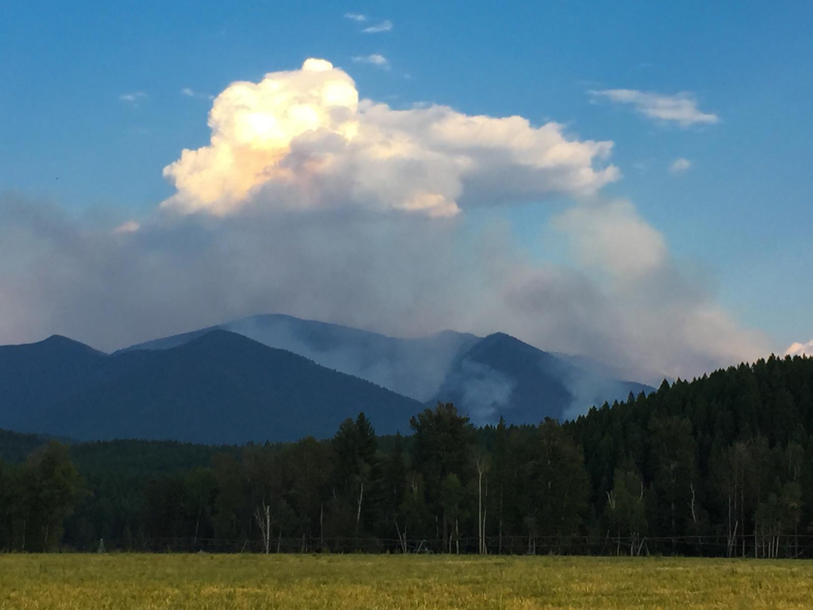
early days of the Marston Fire, taken from Grave Creek Road

Upper Wolverine Lake
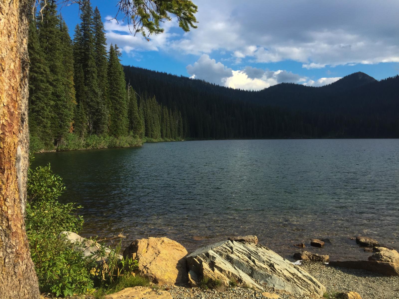
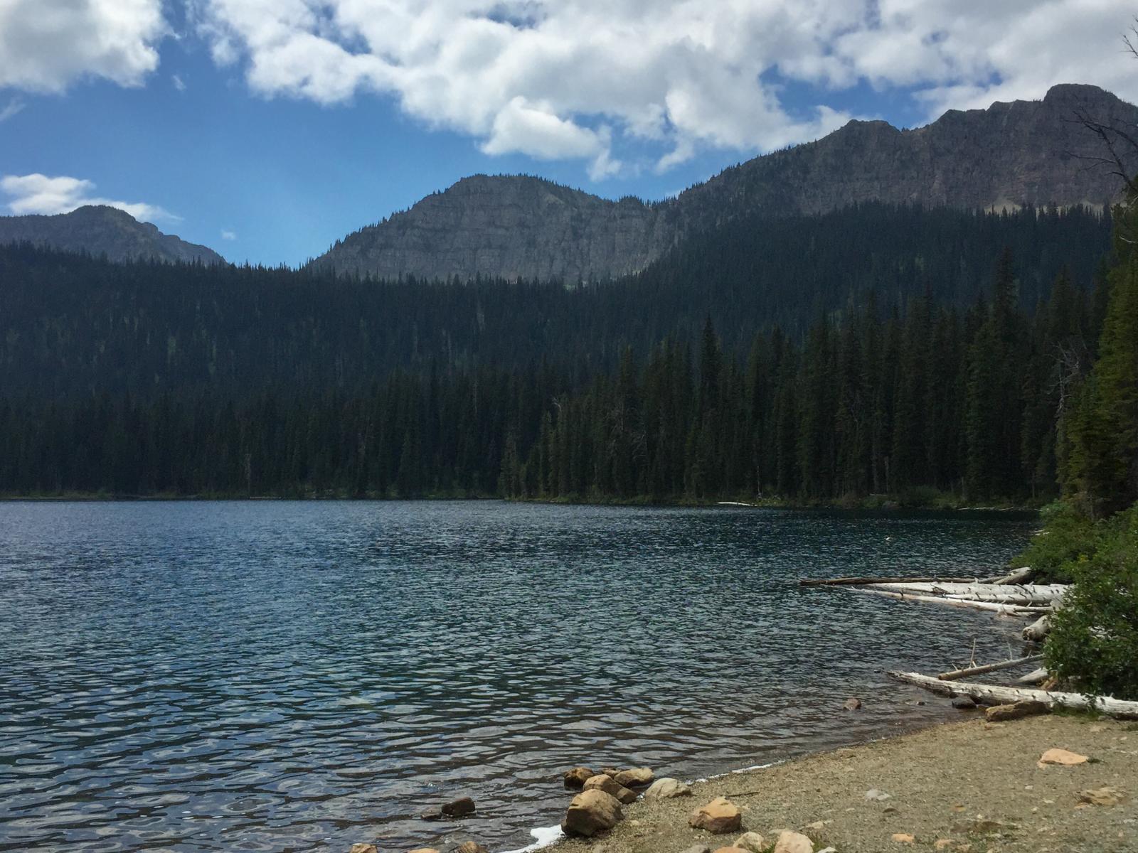
Big Therriault Lake, Kootenai National Forest
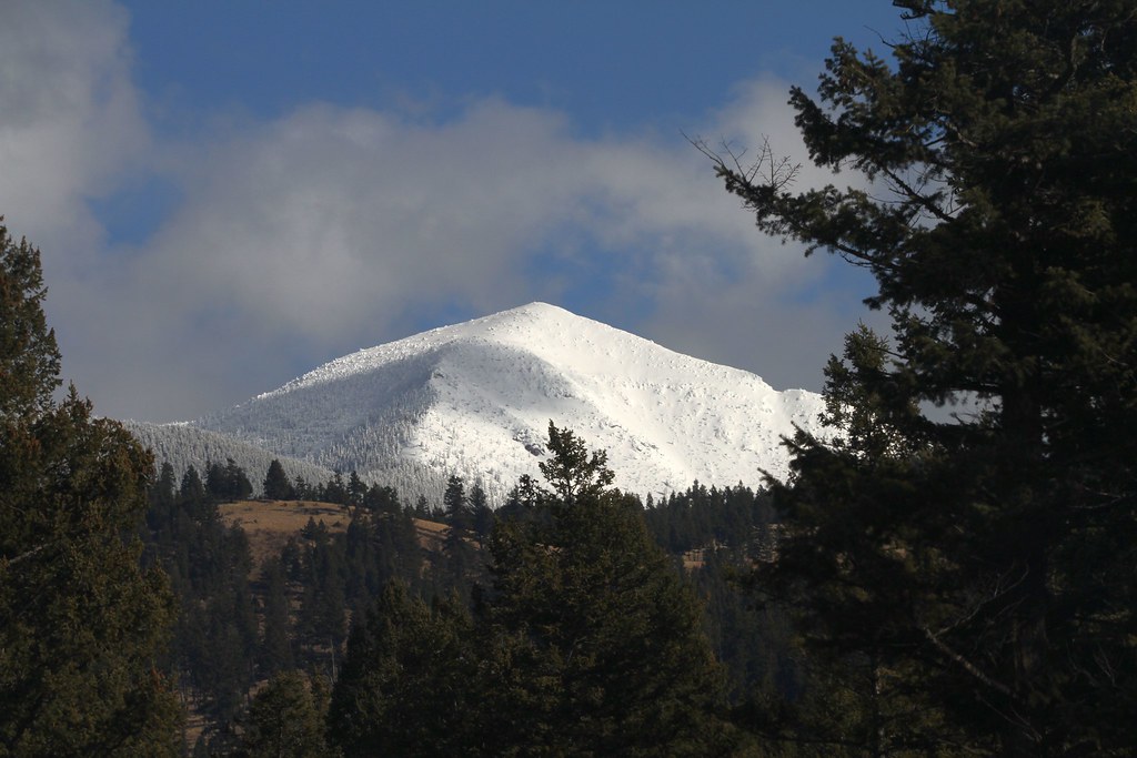
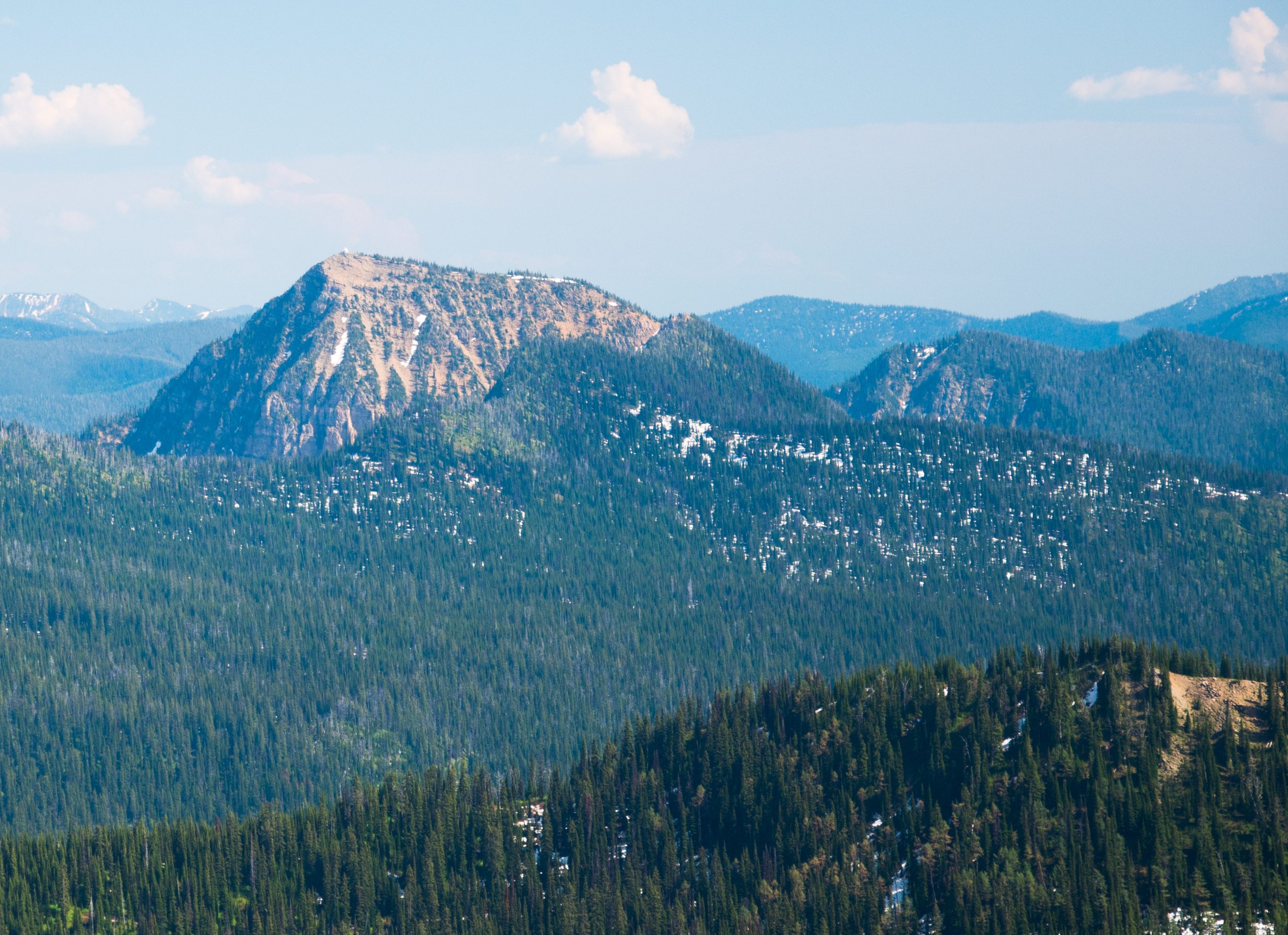
Mt Mahaney

Mt. Wam and its fire lookout rising above the Ten Lakes Scenic Area, Kootenai National Forest in Northwest Montana
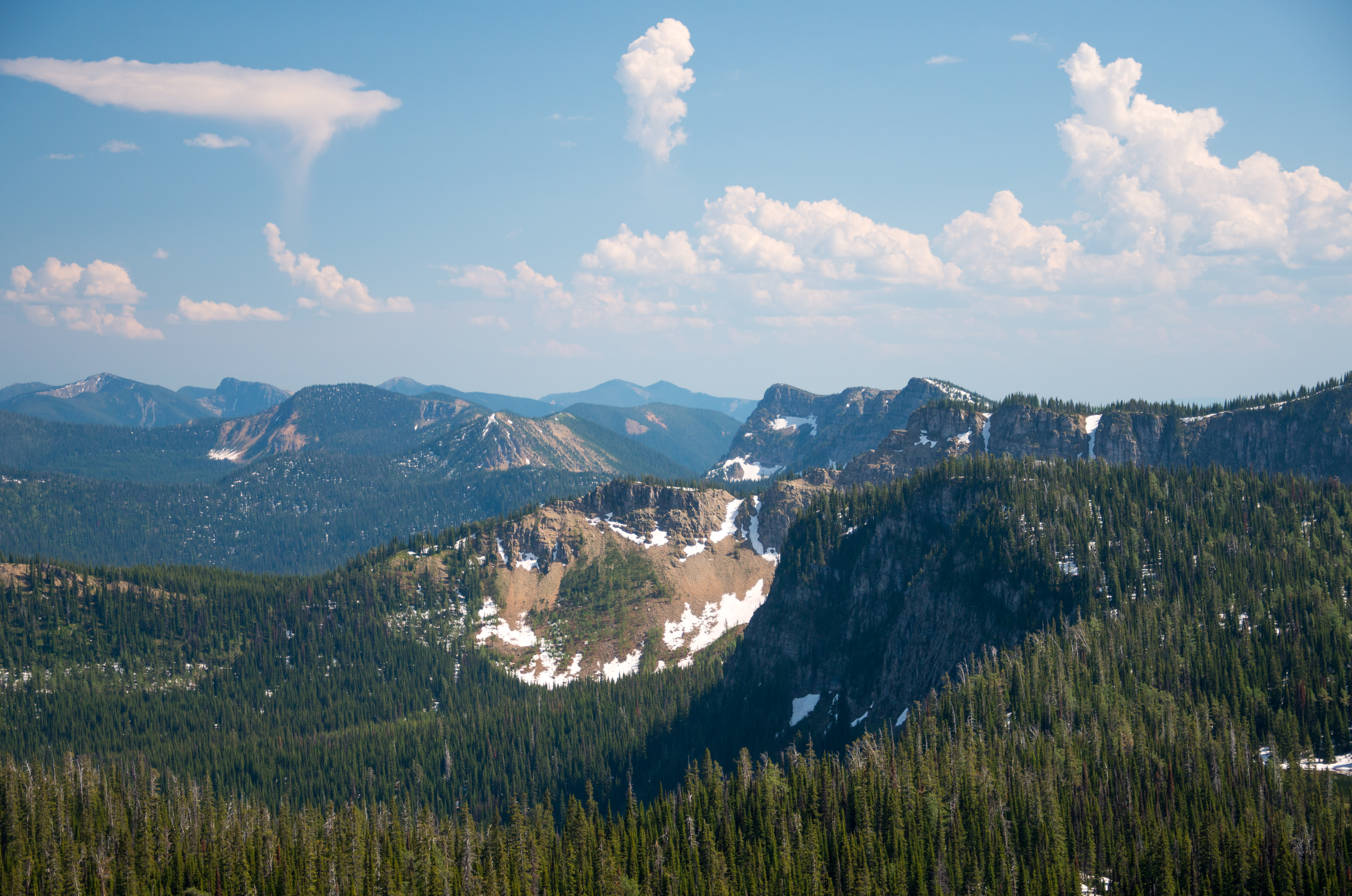
Looking south from the Pacific Northwest Trail in the Ten Lakes Scenic Area towards Ksanka Peak and St. Clair Peak, Kootenai National Forest in Northwest Montana
trail near Big Therriault Lake
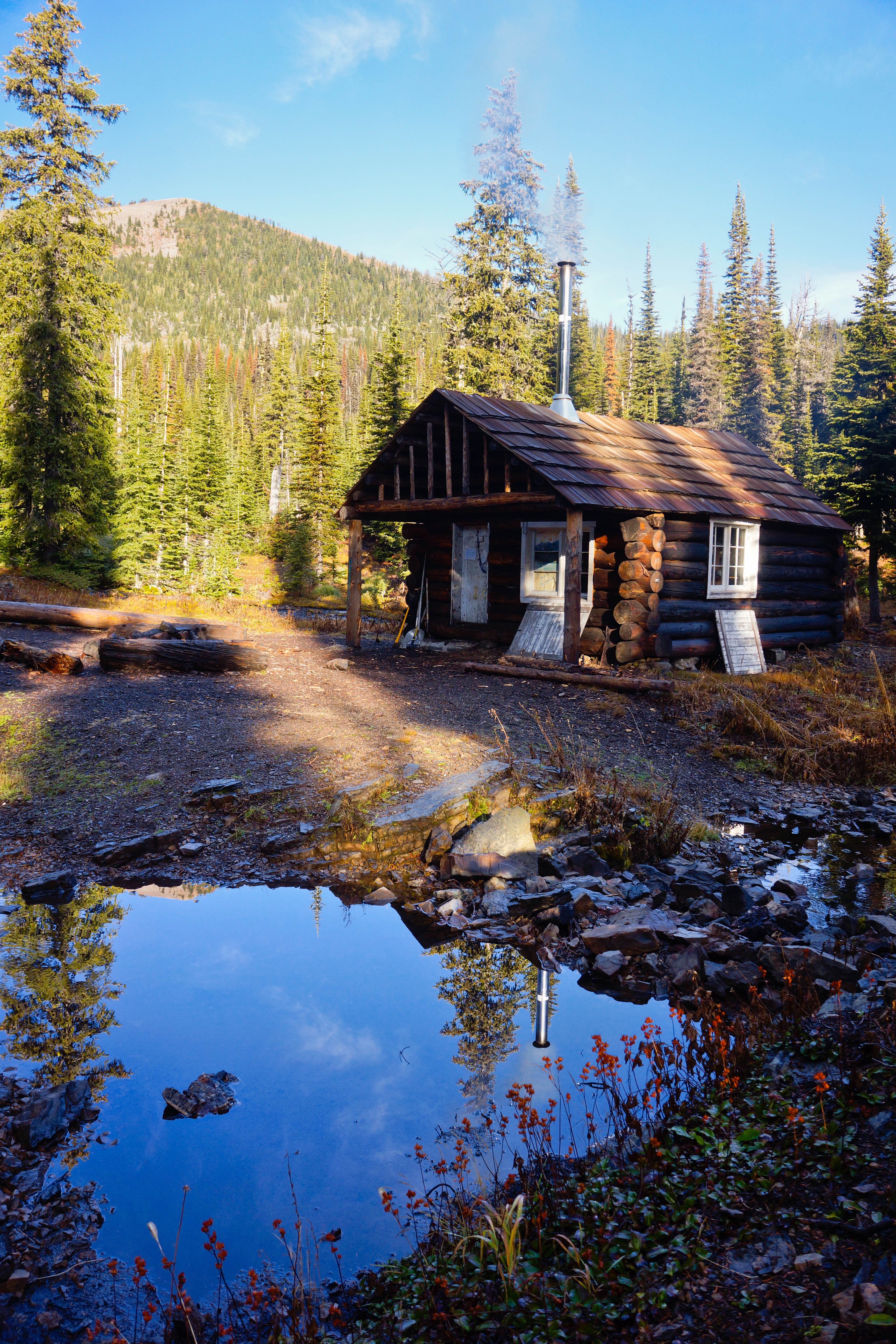
Wolverine Cabin
Mid-summer ice lingers on Rainbow Lake, below the Pacific Northwest Trail in the Ten Lakes Scenic Area, Kootenai National Forest in Northwest Montana
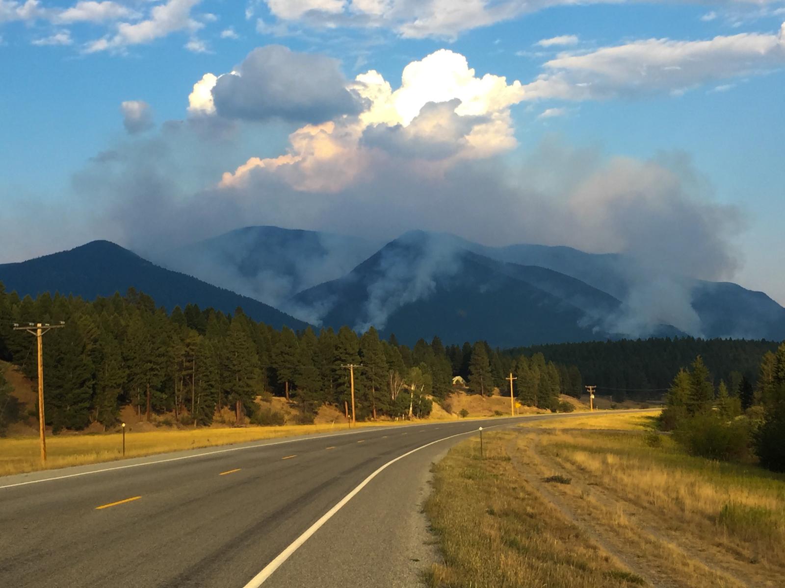
smoke from the Marston Fire near Fortine, Montana

Upper Wolverine Lake
A closer look at Mt. Wam with the fire lookout barely visible on the summit, Kootenai National Forest in Northwest Montana
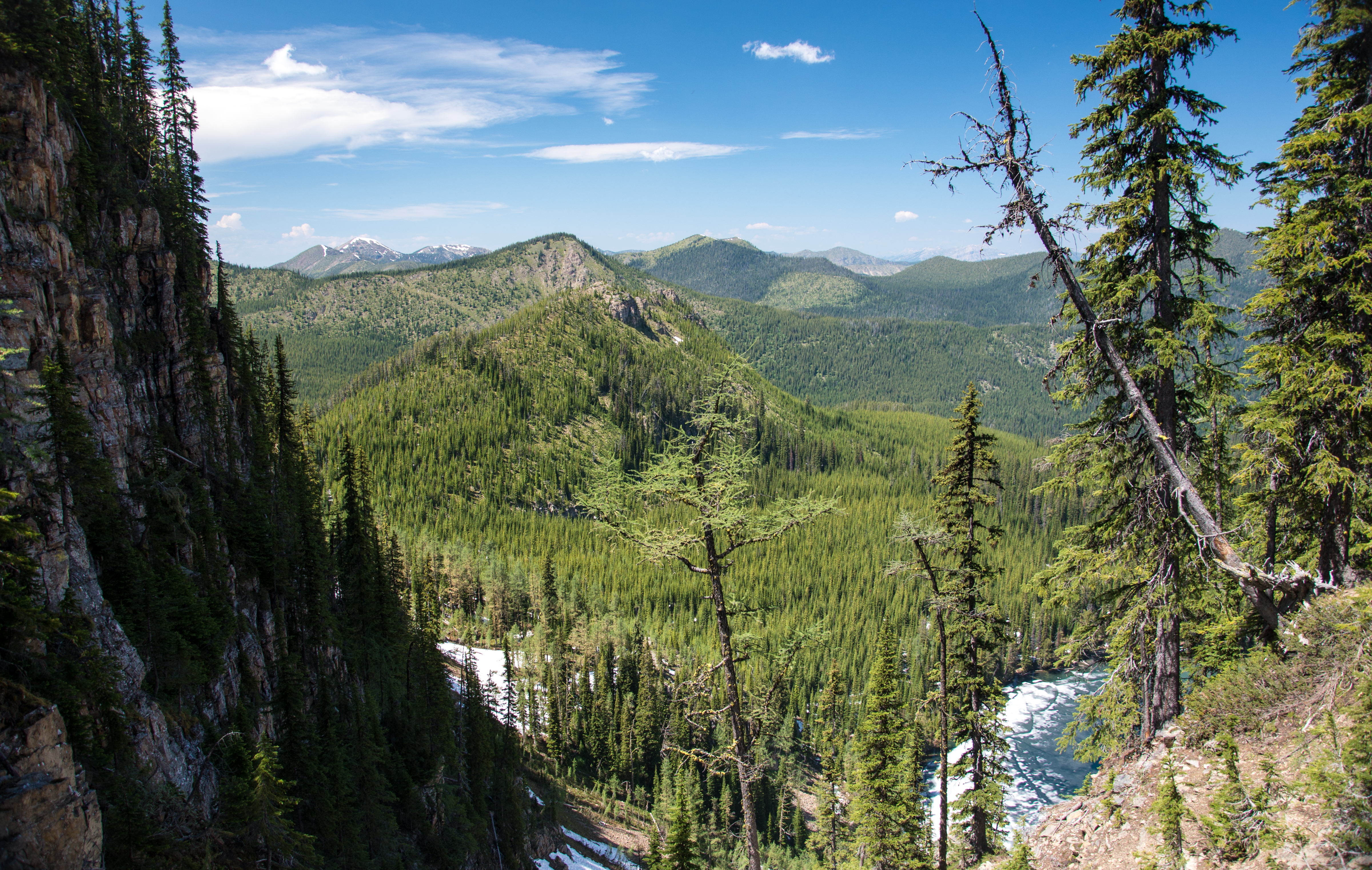
Looking into Glacier National Park
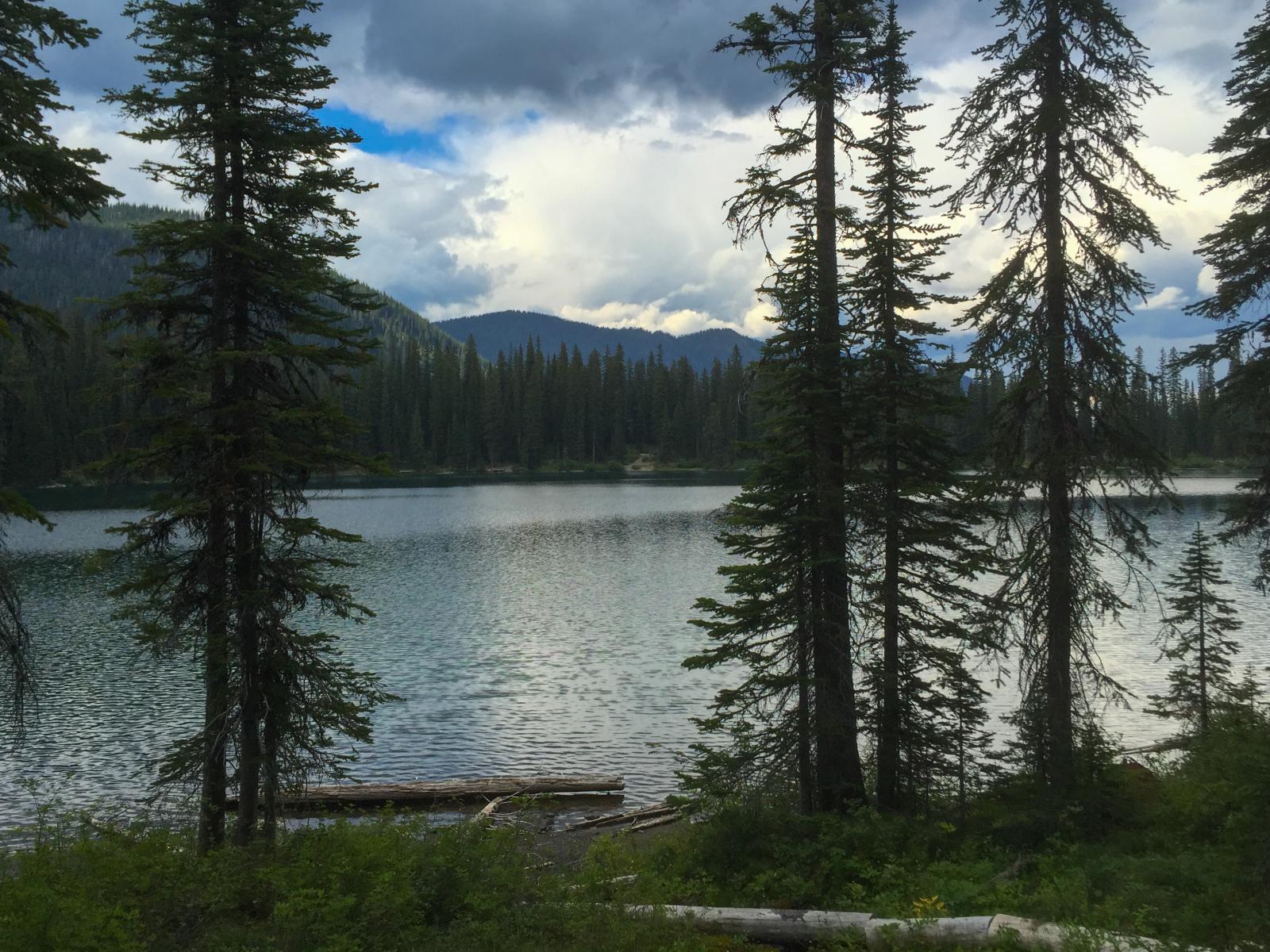
Clouds moving in over Little Therriault Lake, Kootenai National Forest
picnic area along Big Therriault Lake, Kootenai National Forest
Topographic Map of Eureka, MT, USA
Find elevation by address:

Places near Eureka, MT, USA:
490 Griffith Creek Rd
Saint Clair Peak
Ksanka Peak
Little Therriault Lake Campground
Galton Range
2480 Grave Creek Rd
507 Vukonich Ln
Stahl Peak
Independence Peak
Poorman Mountain
467 Costich Lake Dr
Fortine
Mount Wam
1st St N, Fortine, MT, USA
264 Gould Rd
Eureka
Indian Springs Ranch
2713 Marl Lake Creek Rd
Roosville
Ant Flat Rd, Fortine, MT, USA
Recent Searches:
- Elevation of Congressional Dr, Stevensville, MD, USA
- Elevation of Bellview Rd, McLean, VA, USA
- Elevation of Stage Island Rd, Chatham, MA, USA
- Elevation of Shibuya Scramble Crossing, 21 Udagawacho, Shibuya City, Tokyo -, Japan
- Elevation of Jadagoniai, Kaunas District Municipality, Lithuania
- Elevation of Pagonija rock, Kranto 7-oji g. 8"N, Kaunas, Lithuania
- Elevation of Co Rd 87, Jamestown, CO, USA
- Elevation of Tenjo, Cundinamarca, Colombia
- Elevation of Côte-des-Neiges, Montreal, QC H4A 3J6, Canada
- Elevation of Bobcat Dr, Helena, MT, USA