Elevation of Ant Flat Rd, Fortine, MT, USA
Location: United States > Montana > Lincoln County > Fortine >
Longitude: -114.86847
Latitude: 48.722232
Elevation: 945m / 3100feet
Barometric Pressure: 90KPa
Elevation Map:
Satellite Map:
Related Photos:
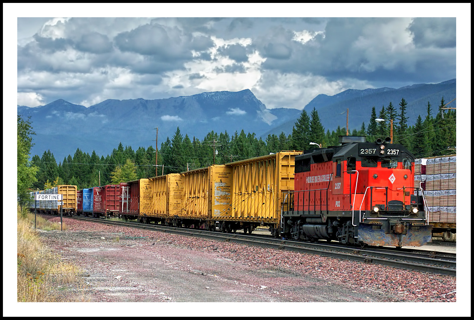
The Mission Mountain Railroad in Fortine, Montana

Pronghorn Clubtail [ Gomphus graslinellus ] male
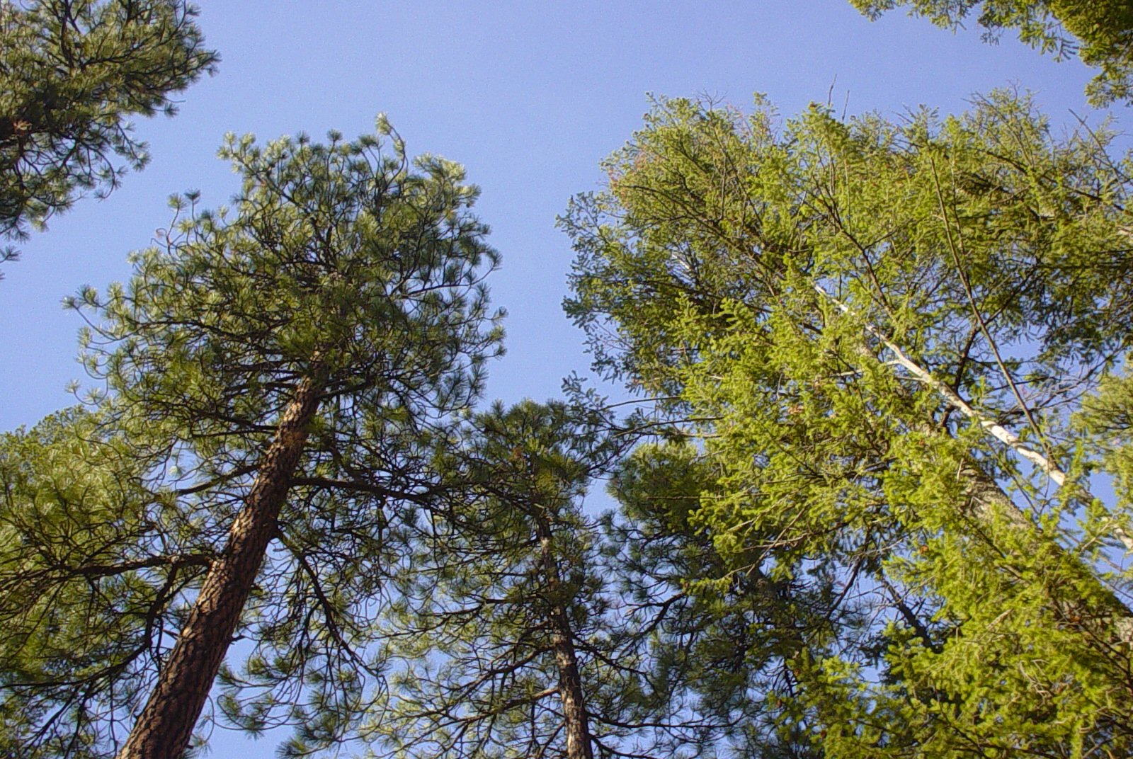
Trees and Sky
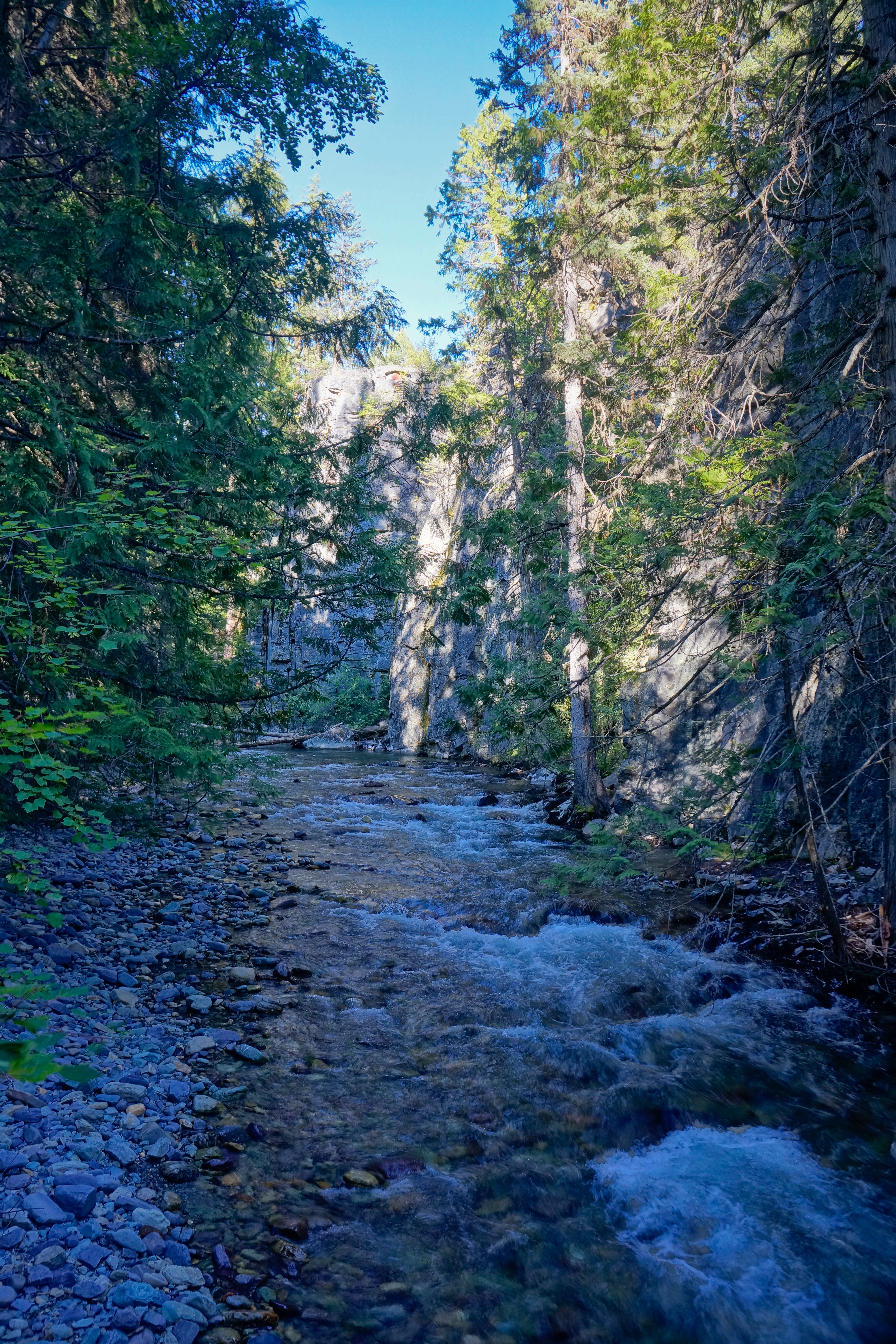
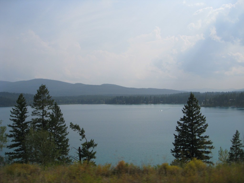
Upper Stillwater Gorge

20160512_180115.jpg

Sunday Falls
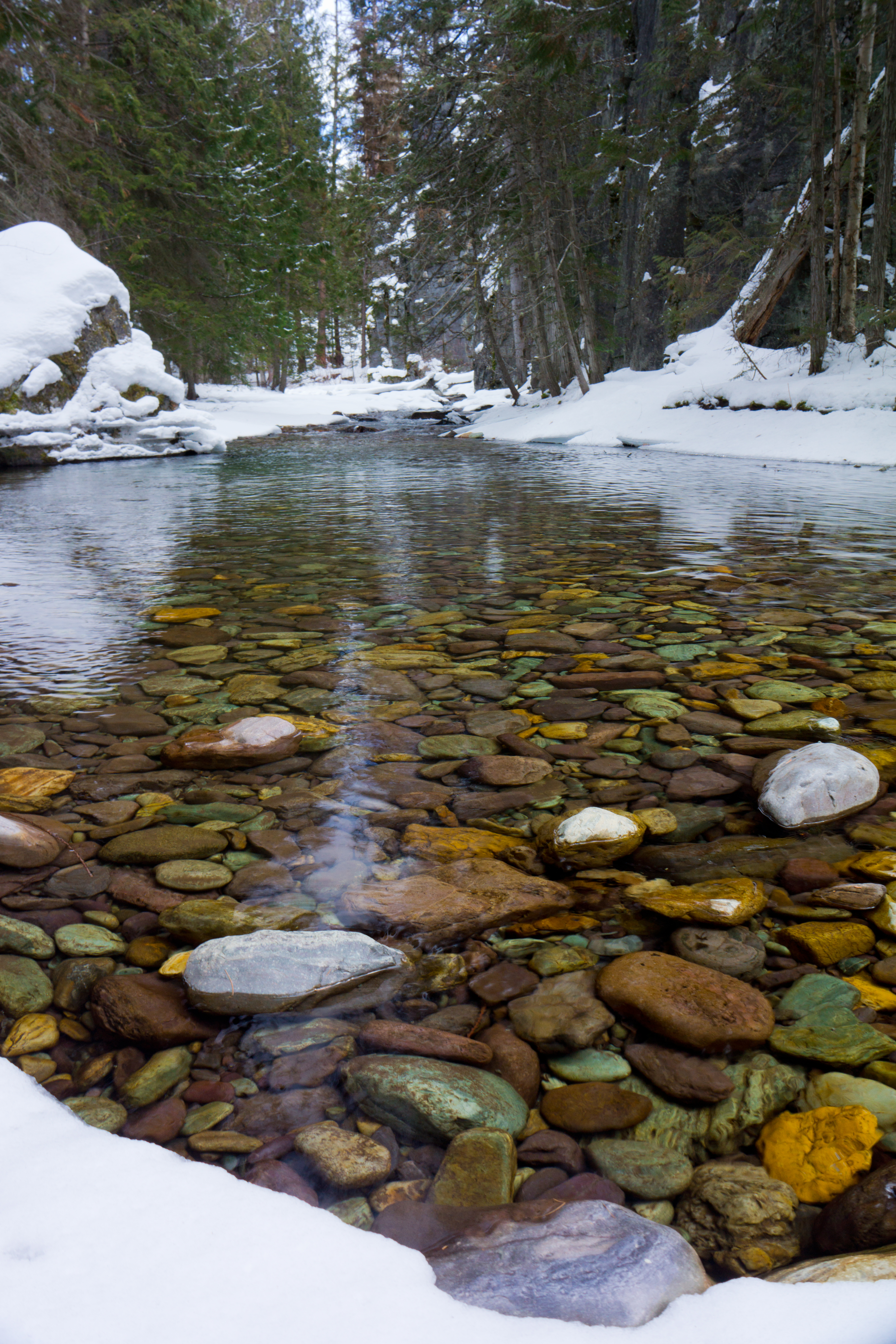
Stillwater Gorge
2010-08-02_whitefish5_151
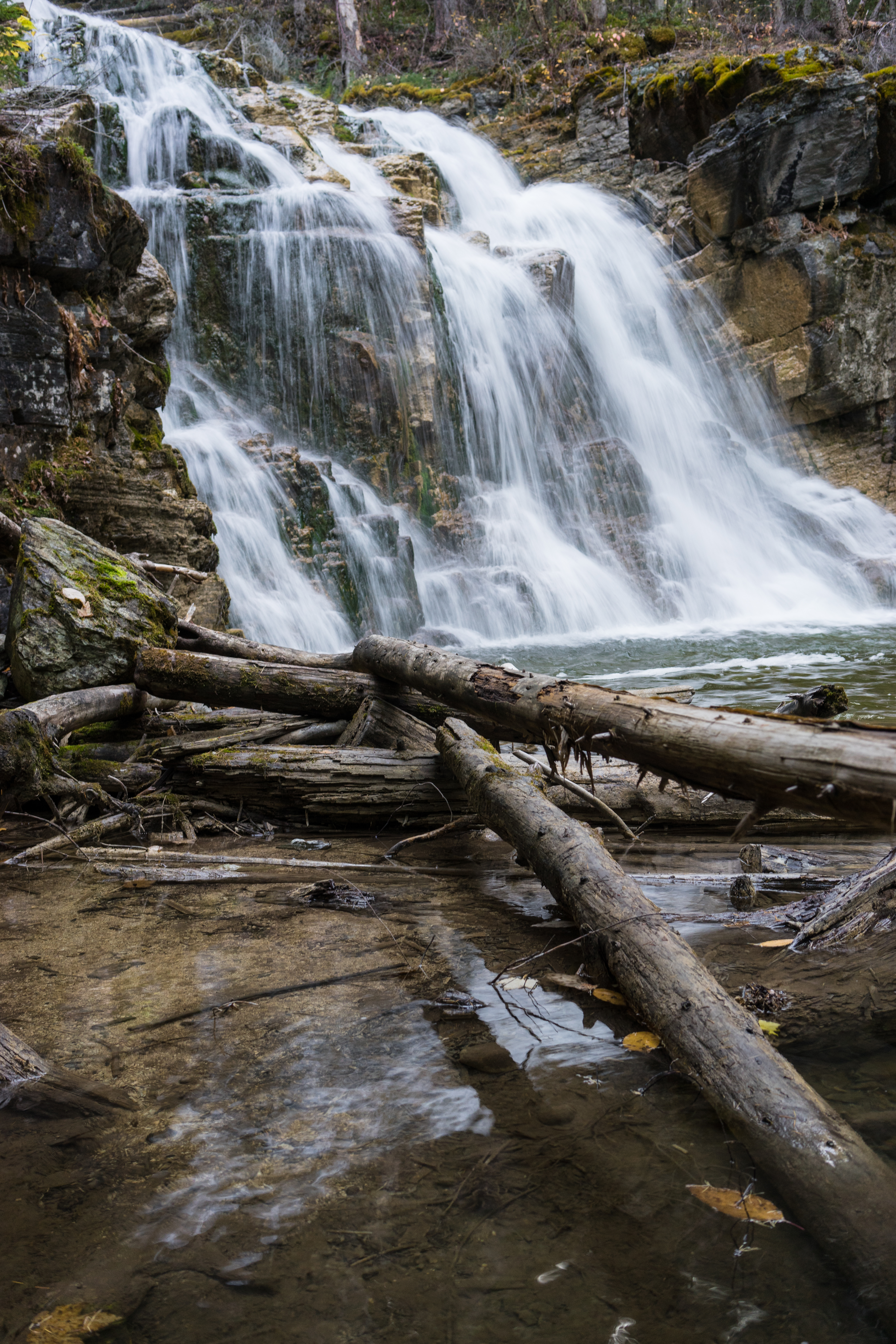
Sunday Falls
Glacier National Park
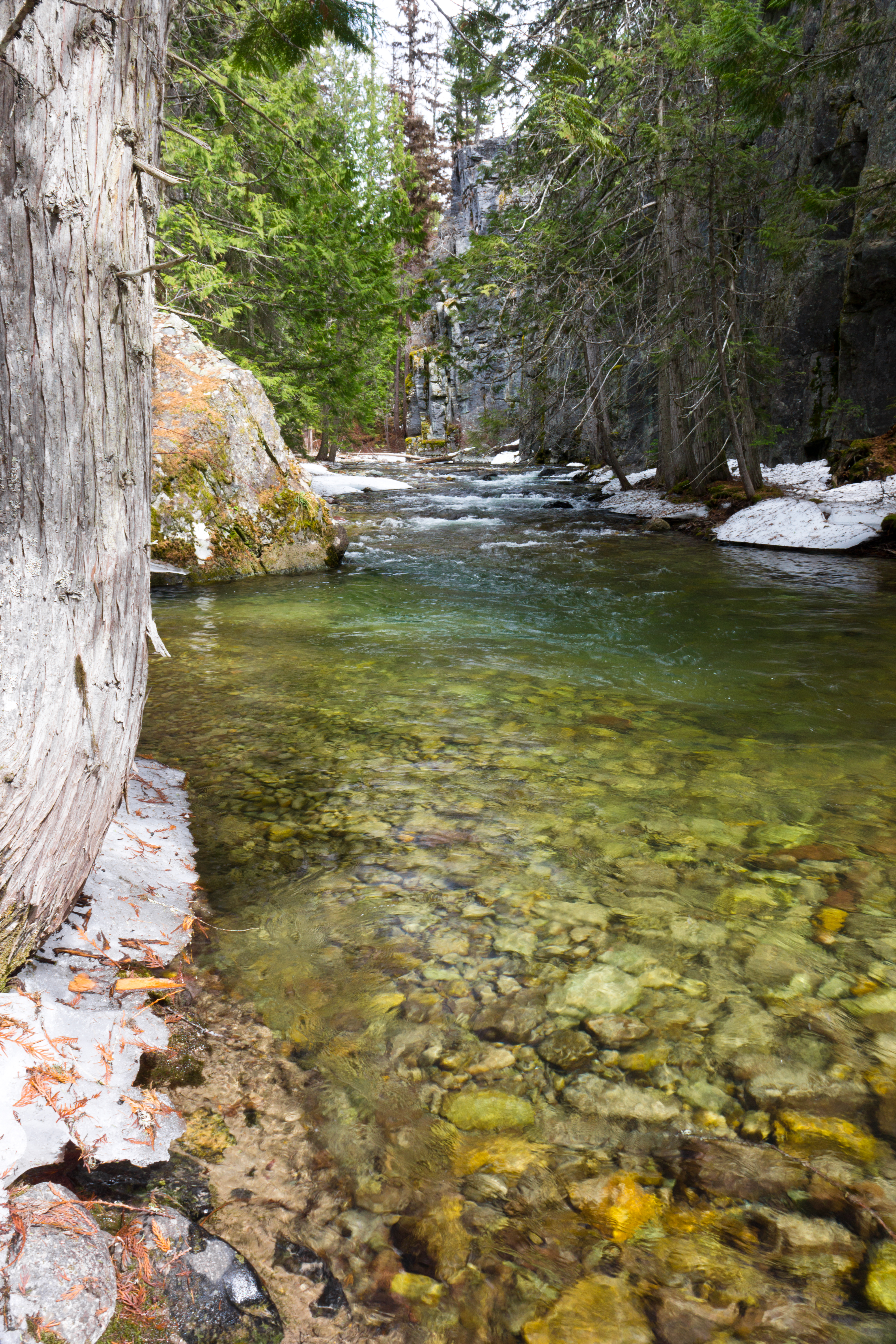
Stillwater Gorge
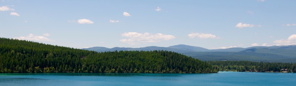
Smokey Lake
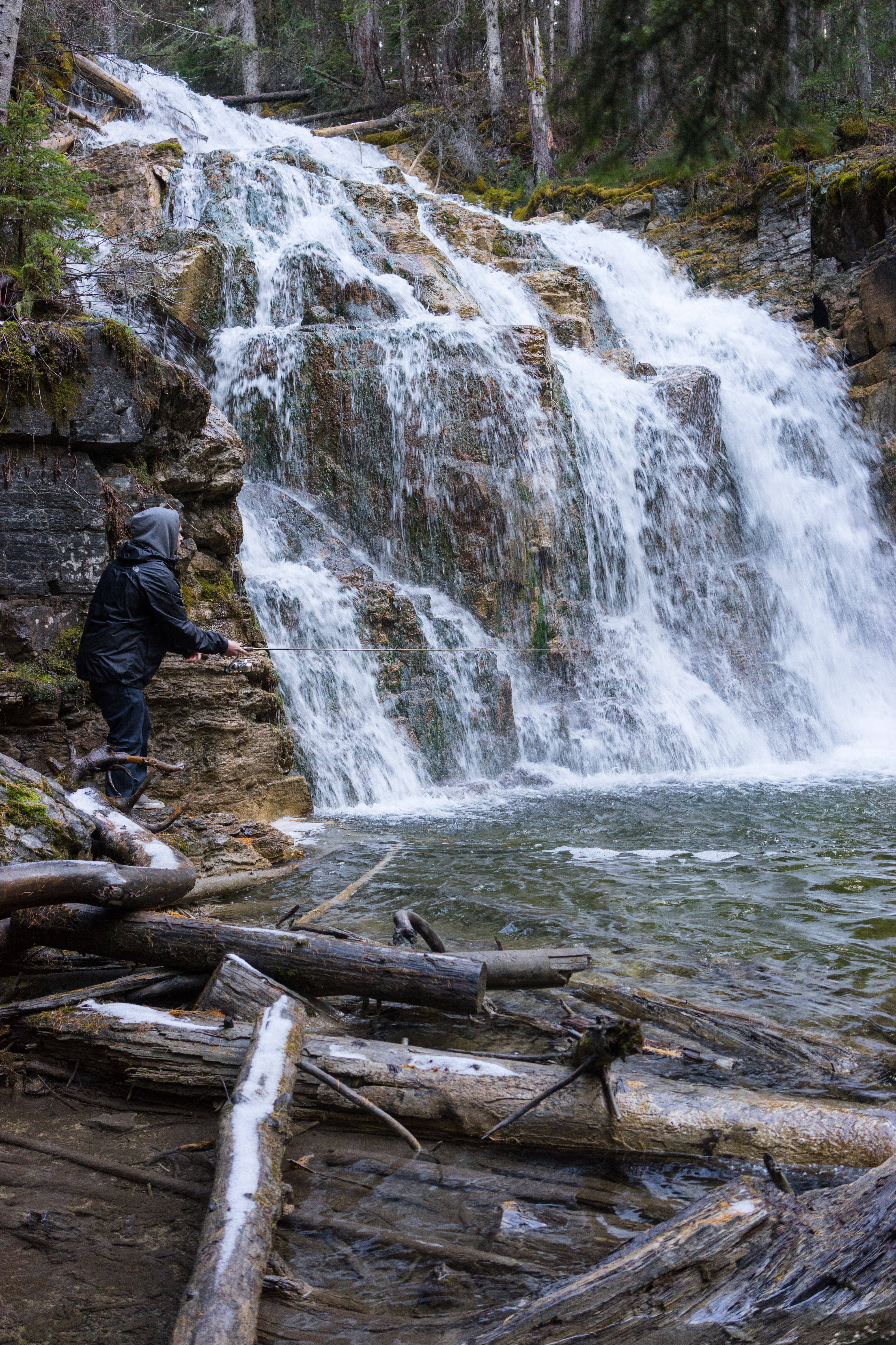
Fishing Sunday Falls
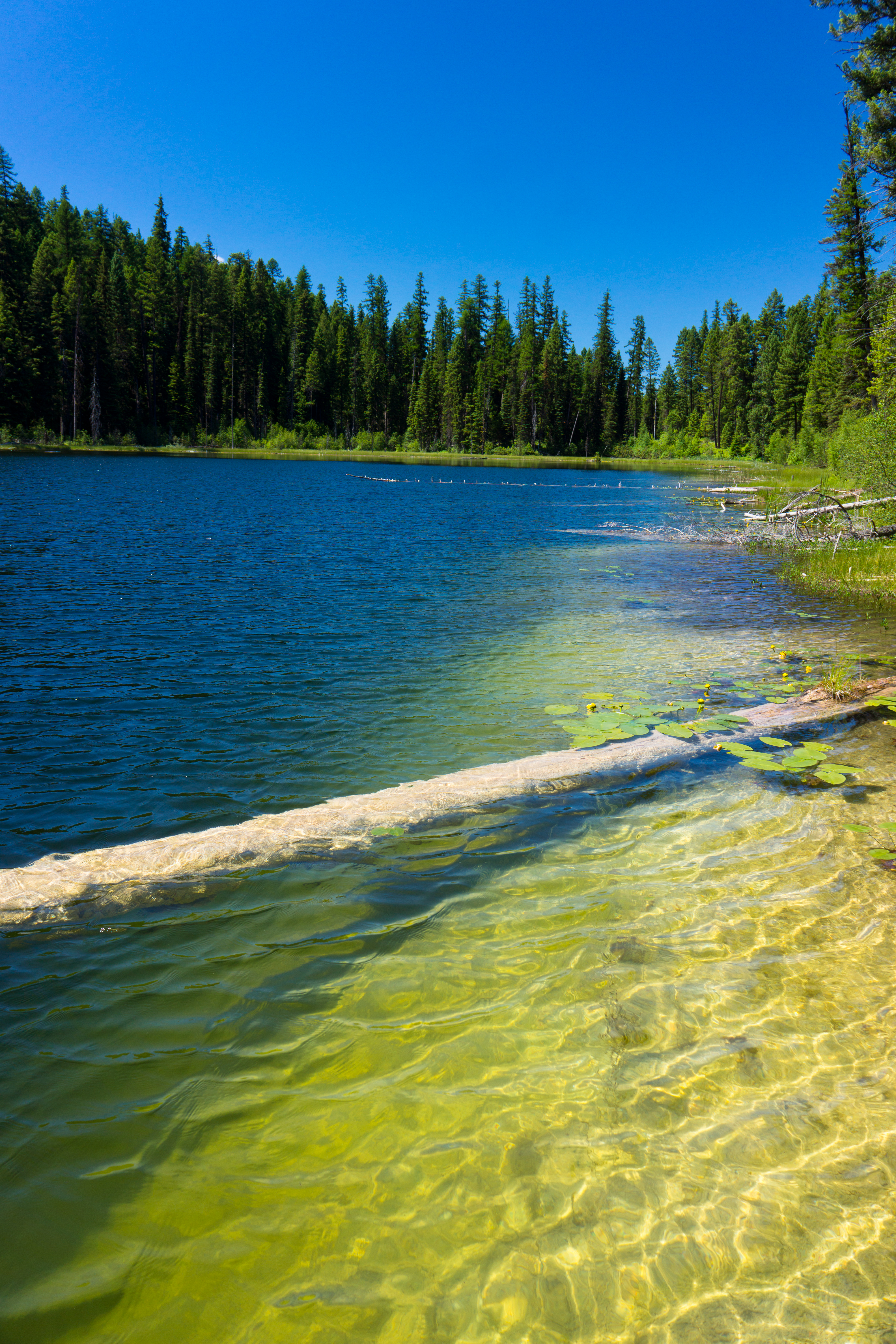
Little Sunday Lake
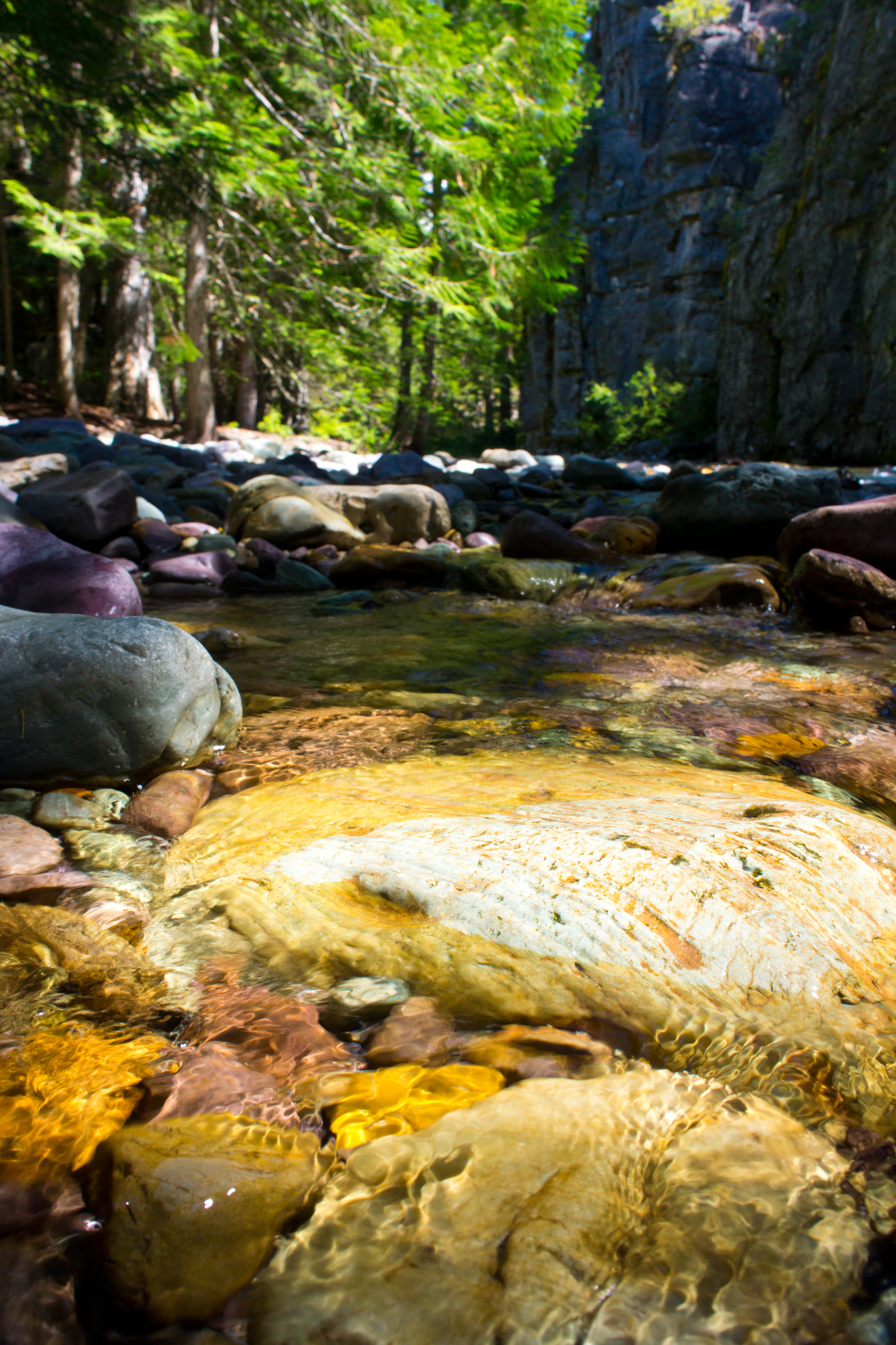
Sunday Creek
Stillwater Gorge
Stillwater Gorge

Empire Builder

Little Sunday Lake
Southeast from Mount Marston Lookout
Sunday Falls
Stillwater Gorge

Stillwater Gorge

West from Mount Marston Lookout
Topographic Map of Ant Flat Rd, Fortine, MT, USA
Find elevation by address:

Places near Ant Flat Rd, Fortine, MT, USA:
Trego
677 Metzner Dr
Fortine
1st St N, Fortine, MT, USA
2713 Marl Lake Creek Rd
507 Vukonich Ln
2480 Grave Creek Rd
430 Morning Sky Dr
490 Griffith Creek Rd
293 5 Mile Creek-lake Creek Rd
Eureka, MT, USA
Stahl Peak
Saint Clair Peak
Finger Lake
Little Therriault Lake Campground
Ksanka Peak
467 Costich Lake Dr
Mount Wam
Eureka
Galton Range
Recent Searches:
- Elevation of Gateway Blvd SE, Canton, OH, USA
- Elevation of East W.T. Harris Boulevard, E W.T. Harris Blvd, Charlotte, NC, USA
- Elevation of West Sugar Creek, Charlotte, NC, USA
- Elevation of Wayland, NY, USA
- Elevation of Steadfast Ct, Daphne, AL, USA
- Elevation of Lagasgasan, X+CQH, Tiaong, Quezon, Philippines
- Elevation of Rojo Ct, Atascadero, CA, USA
- Elevation of Flagstaff Drive, Flagstaff Dr, North Carolina, USA
- Elevation of Avery Ln, Lakeland, FL, USA
- Elevation of Woolwine, VA, USA