Elevation map of Lincoln County, MT, USA
Location: United States > Montana >
Longitude: -115.65965
Latitude: 48.5880903
Elevation: 1210m / 3970feet
Barometric Pressure: 88KPa
Elevation Map:
Satellite Map:
Related Photos:
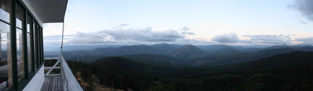
Big Creek Baldy Lookout Tower
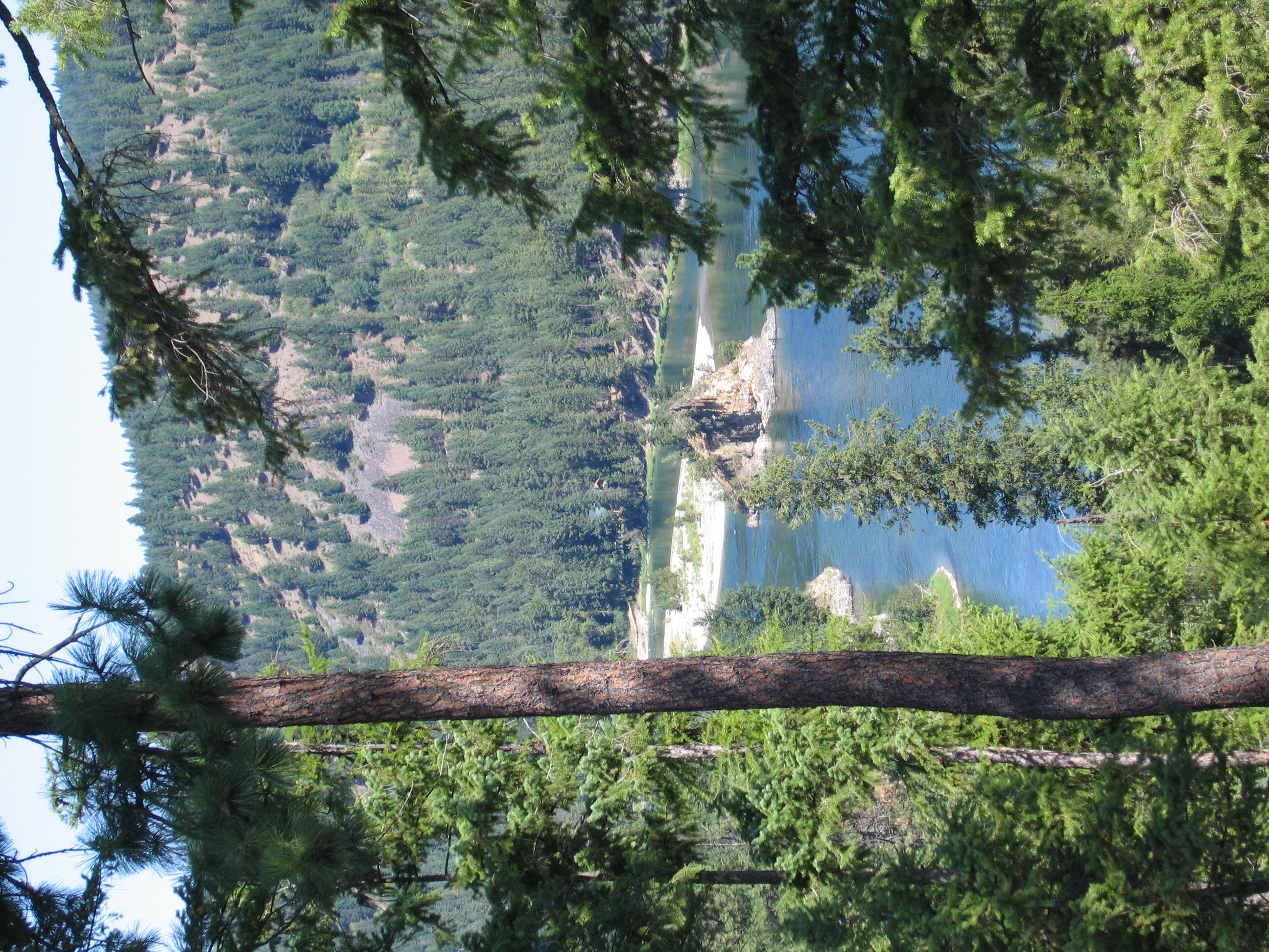
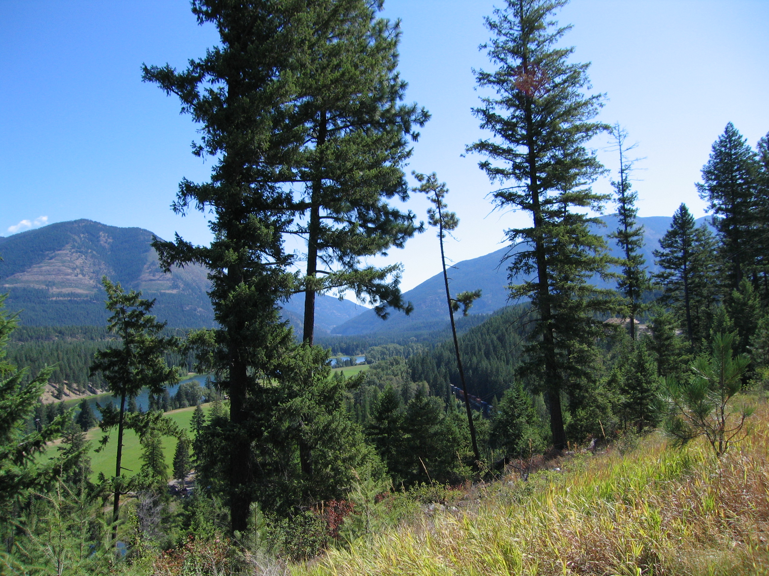
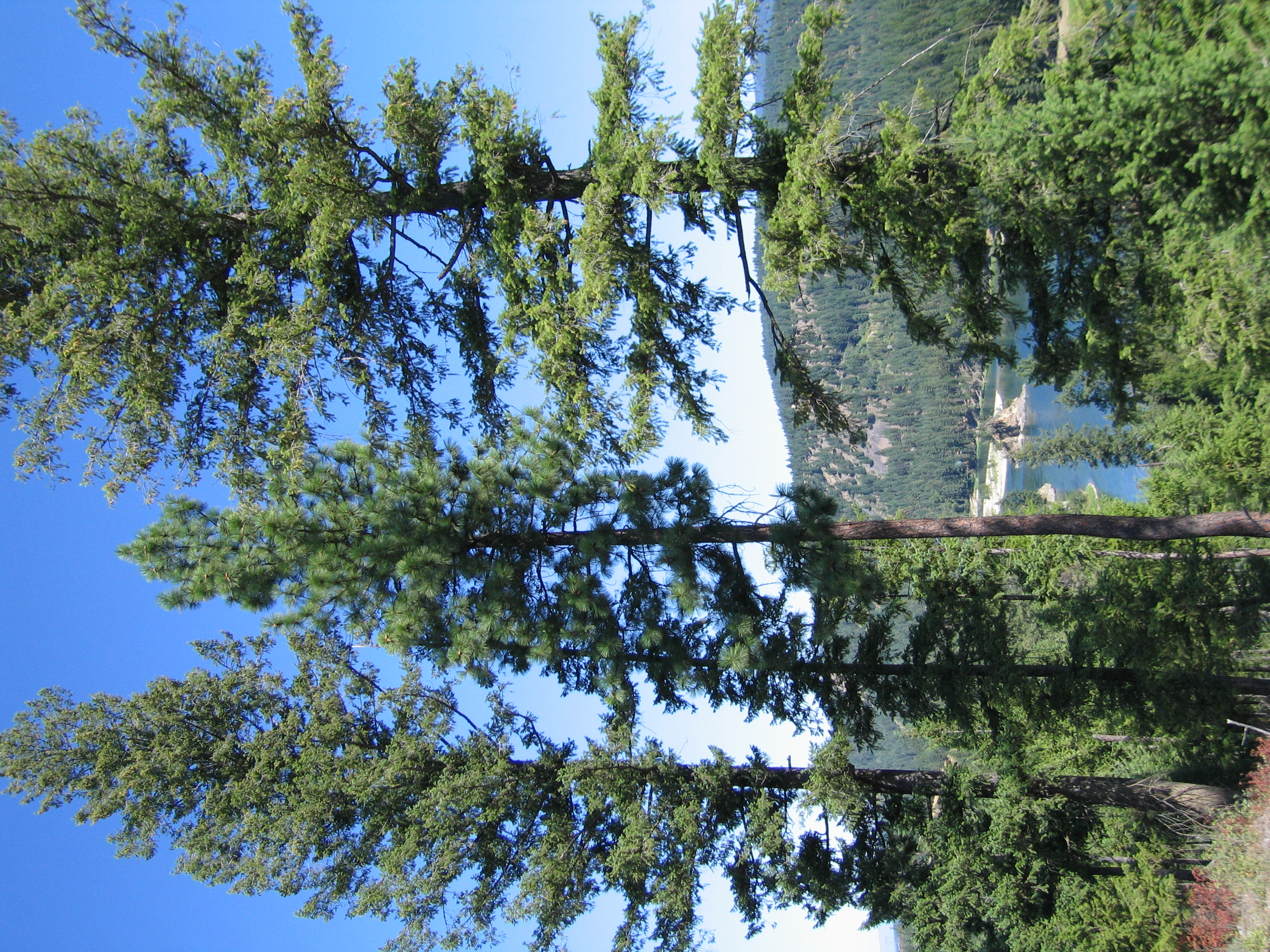
Kootenai River Valley
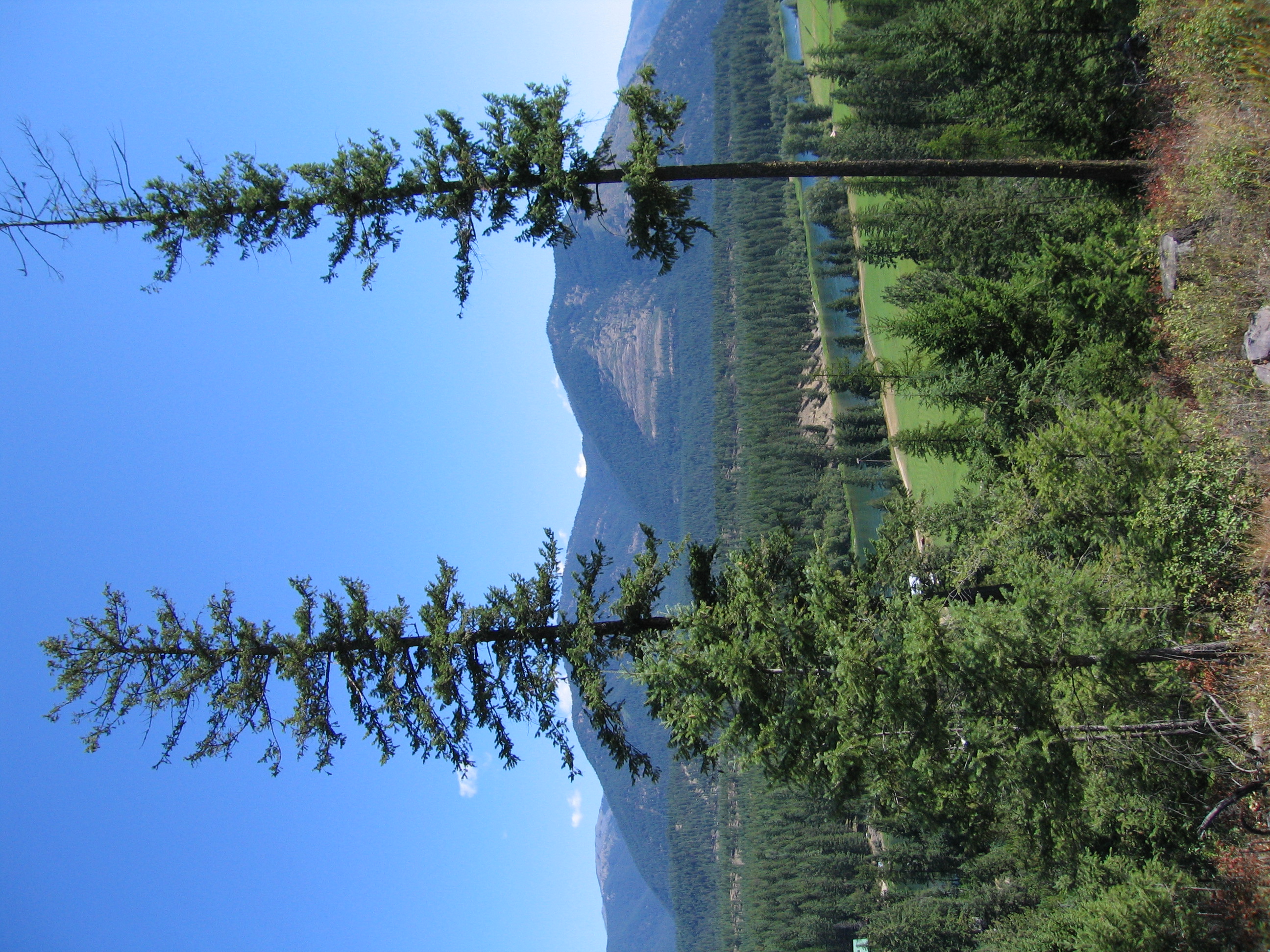
Kootenai River Valley
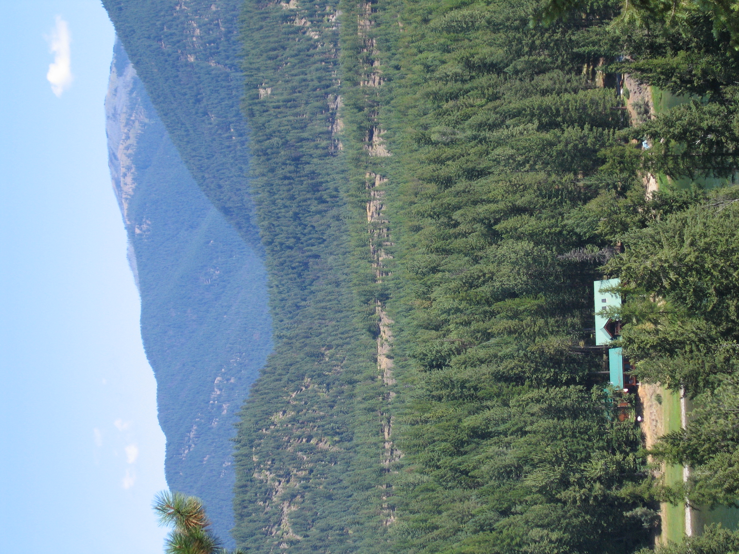
Kootenai River Valley
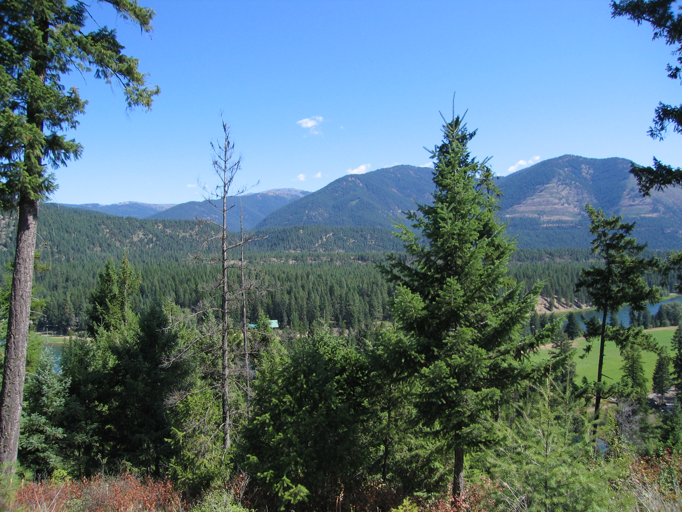
Kootenai River Valley
Kootenai River Valley near Libby
Kootenai River Valley

Subarctic Bluet [ Coenagrion interrogatum ] male

Subarctic Bluet [ Coenagrion interrogatum ] male

_NWP2664 - Version 2
Topographic Map of Lincoln County, MT, USA
Find elevation by address:

Places in Lincoln County, MT, USA:
Places near Lincoln County, MT, USA:
17 Mile Creek Road
US-2, Libby, MT, USA
616 Blue Mountain Lookout Rd
Kootenai Falls
Grambauer Mountain
8932 Yaak River Rd
Libby
Yaak
Troy
Lake Creek Road
Yaak Mountain Lookout
East Spokane Avenue
Treasure Mountain
14454 Yaak River Rd
34362 Yaak River Rd
Yaak River Campground
4310 Us-2
Mount Henry
38046 Yaak River Rd
MT-37, Libby, MT, USA
Recent Searches:
- Elevation of Corso Fratelli Cairoli, 35, Macerata MC, Italy
- Elevation of Tallevast Rd, Sarasota, FL, USA
- Elevation of 4th St E, Sonoma, CA, USA
- Elevation of Black Hollow Rd, Pennsdale, PA, USA
- Elevation of Oakland Ave, Williamsport, PA, USA
- Elevation of Pedrógão Grande, Portugal
- Elevation of Klee Dr, Martinsburg, WV, USA
- Elevation of Via Roma, Pieranica CR, Italy
- Elevation of Tavkvetili Mountain, Georgia
- Elevation of Hartfords Bluff Cir, Mt Pleasant, SC, USA