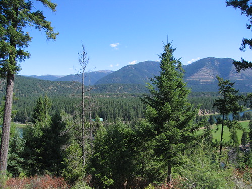
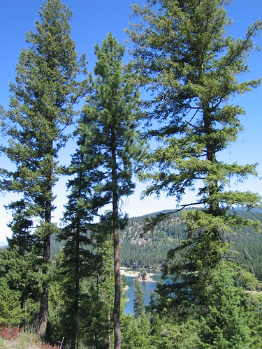
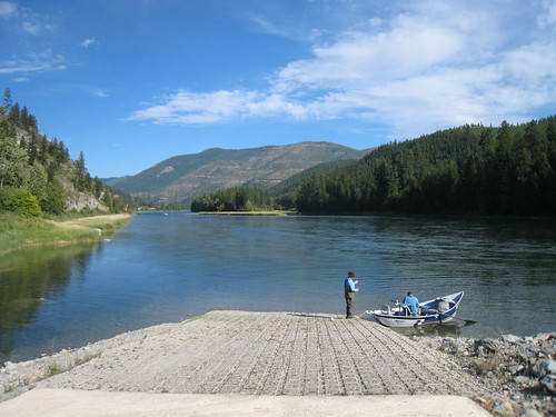
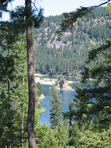
Elevation of Blue Mountain Lookout Rd, Libby, MT, USA
Location: United States > Montana > Libby >
Longitude: -115.50448
Latitude: 48.4939813
Elevation: 889m / 2917feet
Barometric Pressure: 91KPa
Related Photos:
Topographic Map of Blue Mountain Lookout Rd, Libby, MT, USA
Find elevation by address:

Places near Blue Mountain Lookout Rd, Libby, MT, USA:
Libby
US-2, Libby, MT, USA
Lincoln County
MT-37, Libby, MT, USA
Treasure Mountain
Grambauer Mountain
Kootenai Falls
Libby, MT, USA
17 Mile Creek Road
Snowshoe Peak
Lake Creek Road
Troy
Mount Henry
East Spokane Avenue
8932 Yaak River Rd
Yaak
34362 Yaak River Rd
Yaak Mountain Lookout
20 Lone Duck Ln
Clingback Mountain
Recent Searches:
- Elevation of Groblershoop, South Africa
- Elevation of Power Generation Enterprises | Industrial Diesel Generators, Oak Ave, Canyon Country, CA, USA
- Elevation of Chesaw Rd, Oroville, WA, USA
- Elevation of N, Mt Pleasant, UT, USA
- Elevation of 6 Rue Jules Ferry, Beausoleil, France
- Elevation of Sattva Horizon, 4JC6+G9P, Vinayak Nagar, Kattigenahalli, Bengaluru, Karnataka, India
- Elevation of Great Brook Sports, Gold Star Hwy, Groton, CT, USA
- Elevation of 10 Mountain Laurels Dr, Nashua, NH, USA
- Elevation of 16 Gilboa Ln, Nashua, NH, USA
- Elevation of Laurel Rd, Townsend, TN, USA
