Elevation of Libby, MT, USA
Location: United States > Montana >
Longitude: -115.55599
Latitude: 48.3882861
Elevation: 639m / 2096feet
Barometric Pressure: 94KPa
Elevation Map:
Satellite Map:
Related Photos:
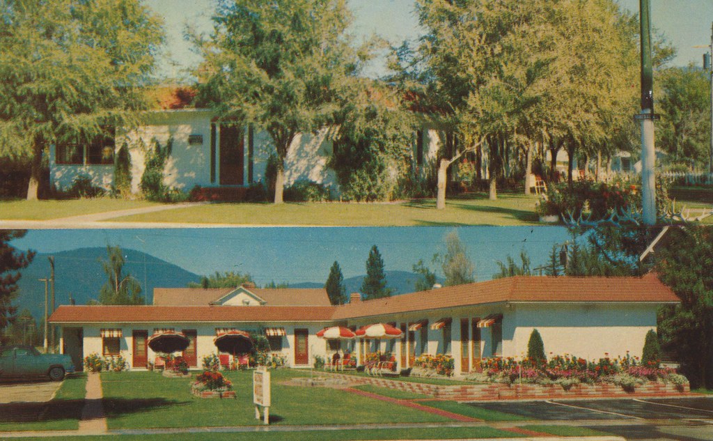
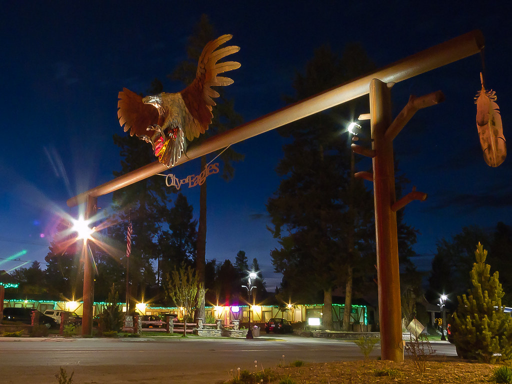
Dalton's Motel - Libby, Montana
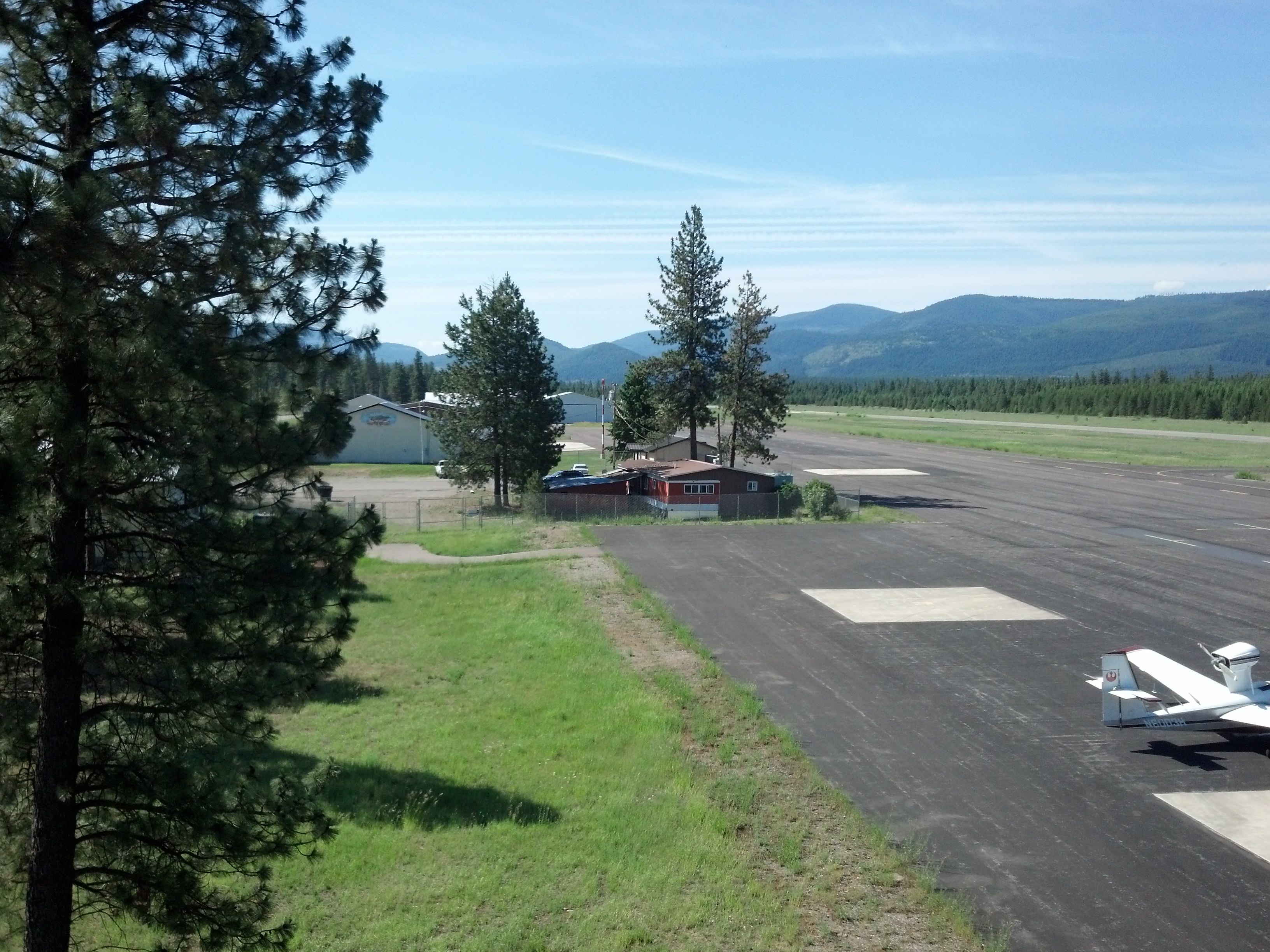
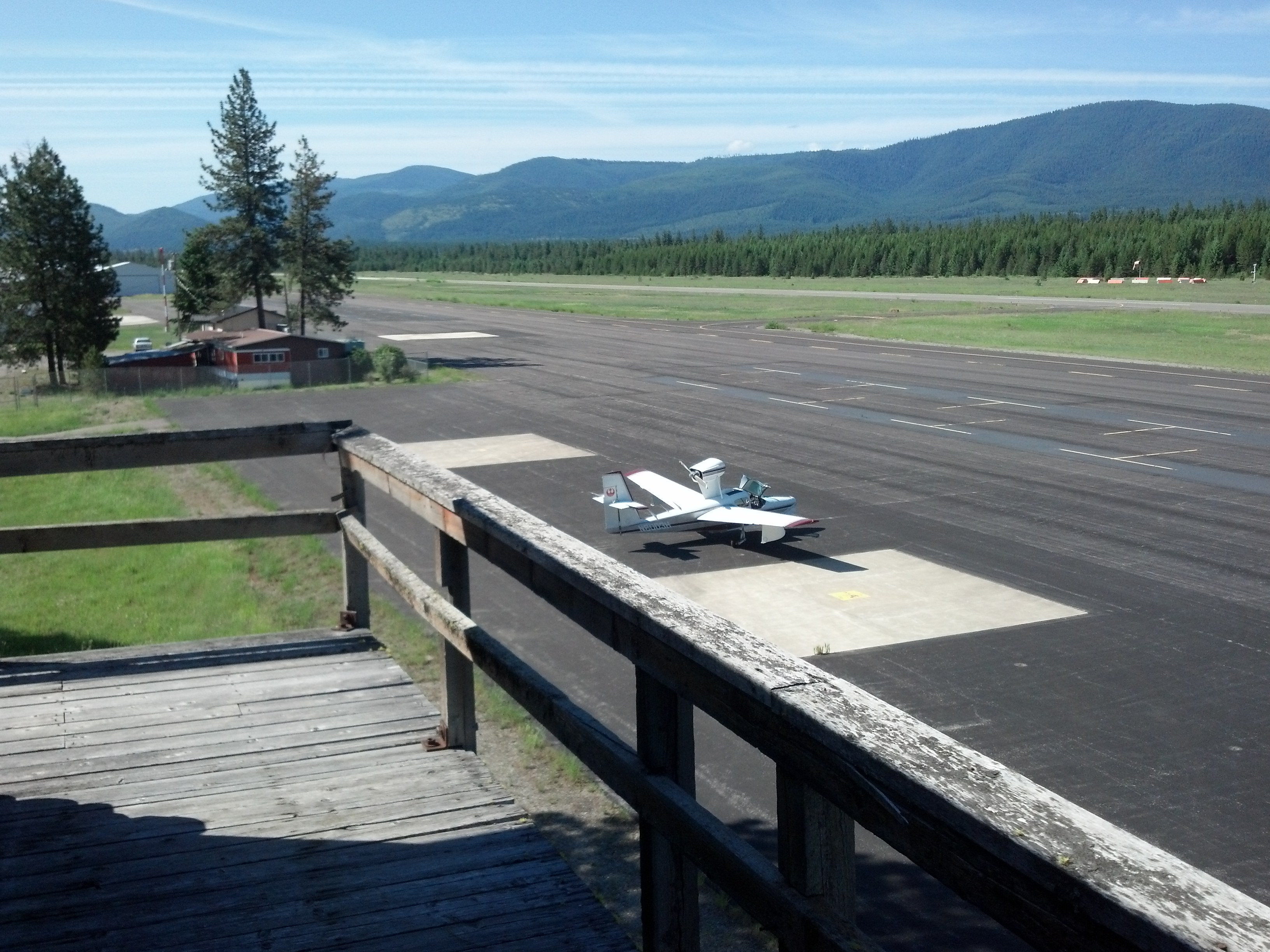
View from Tower from "Always"
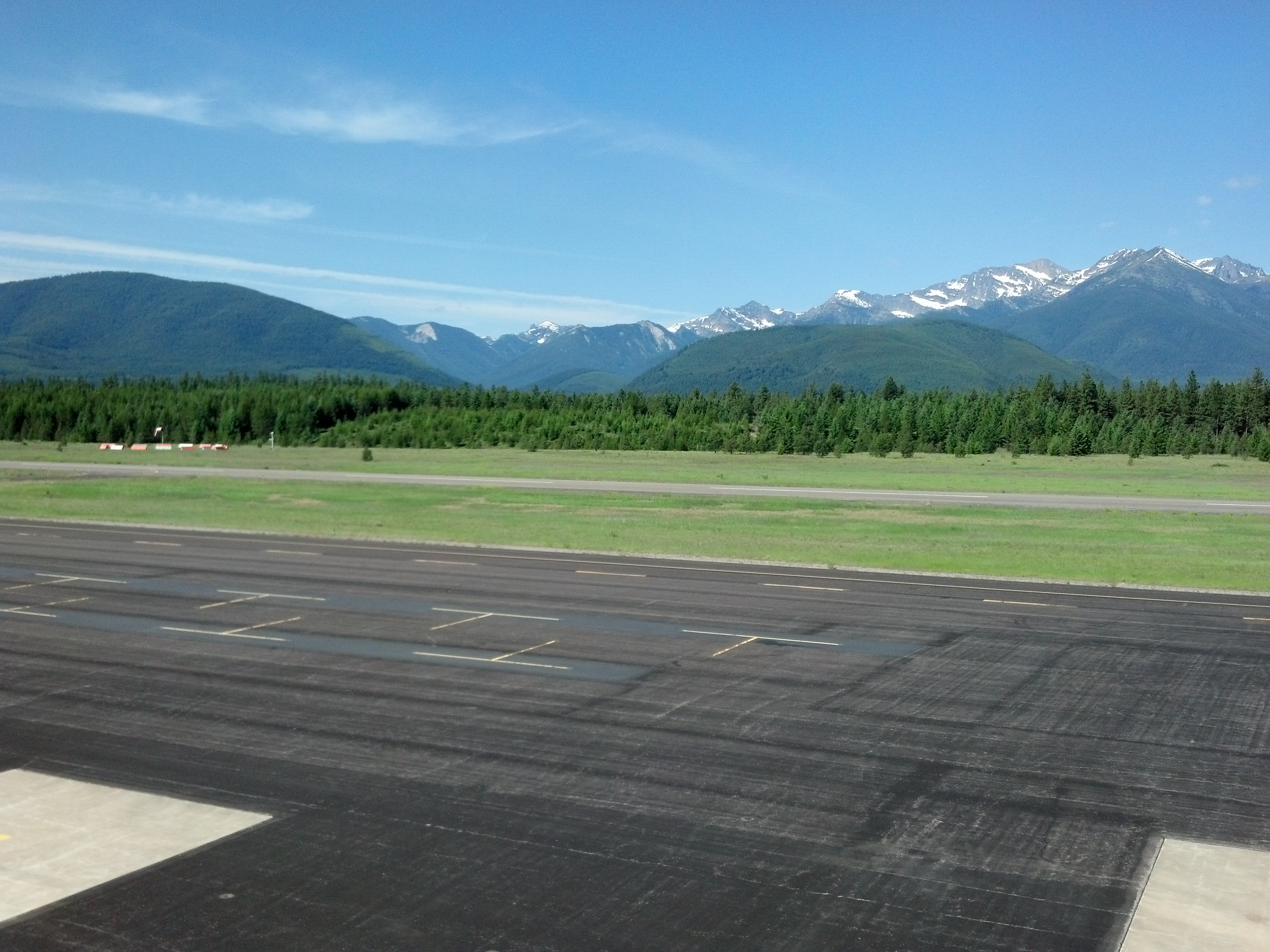
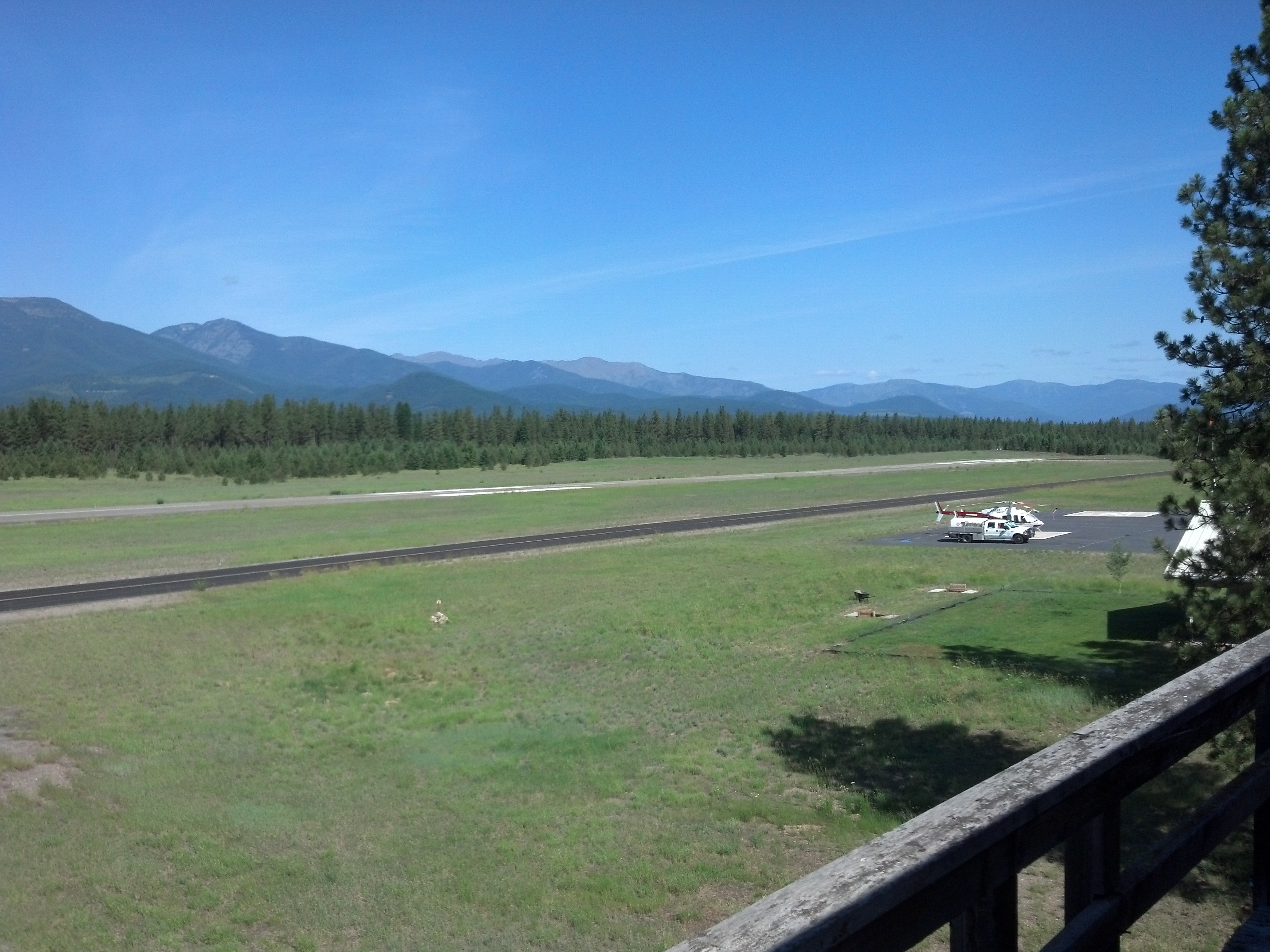
View from Tower from "Always"
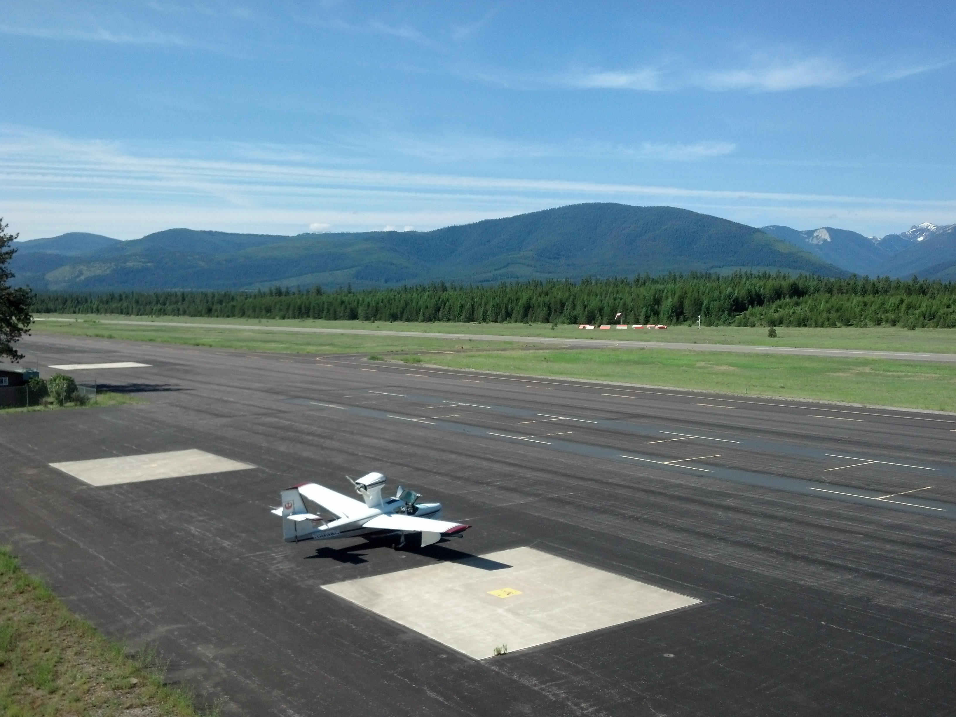
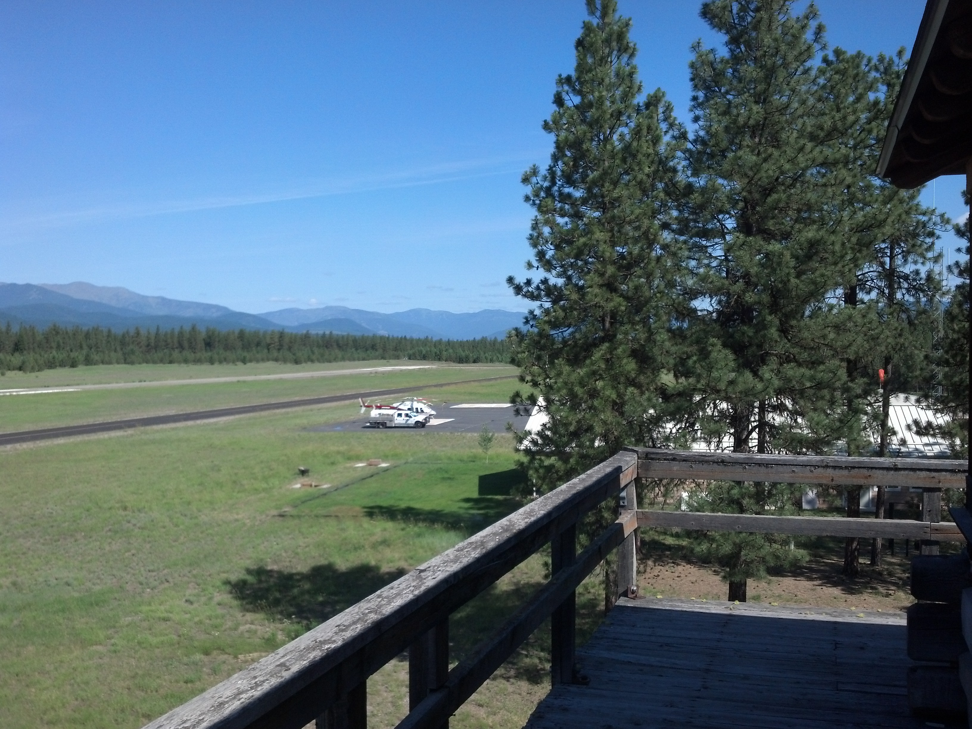
View from Tower from "Always"
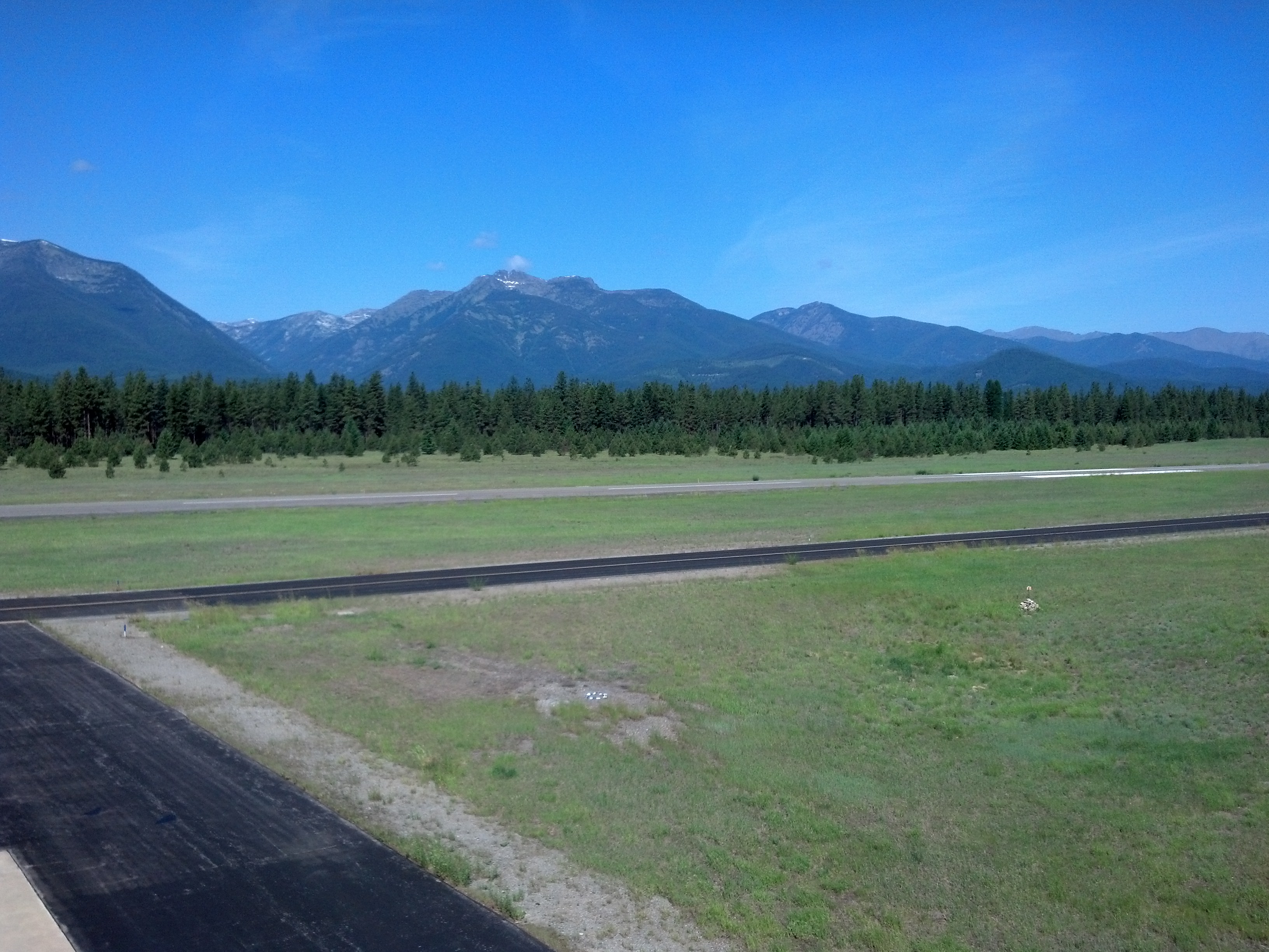
View from Tower from "Always"
View from Tower from "Always"
View from Tower from "Always"
View from Tower from "Always"
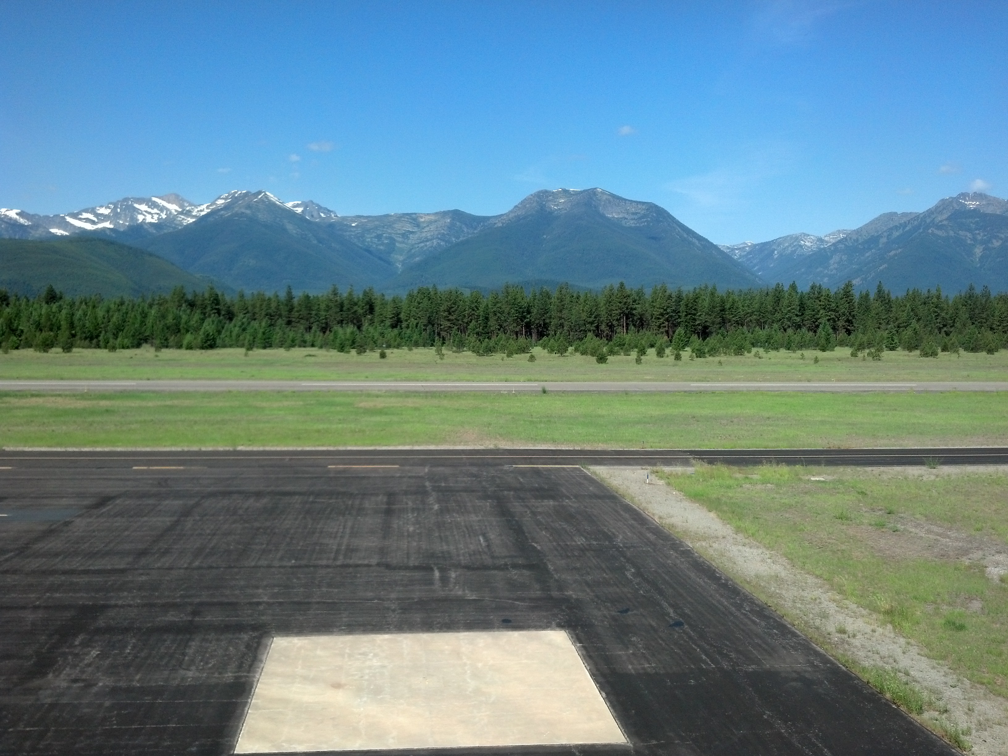
View from Tower from "Always"
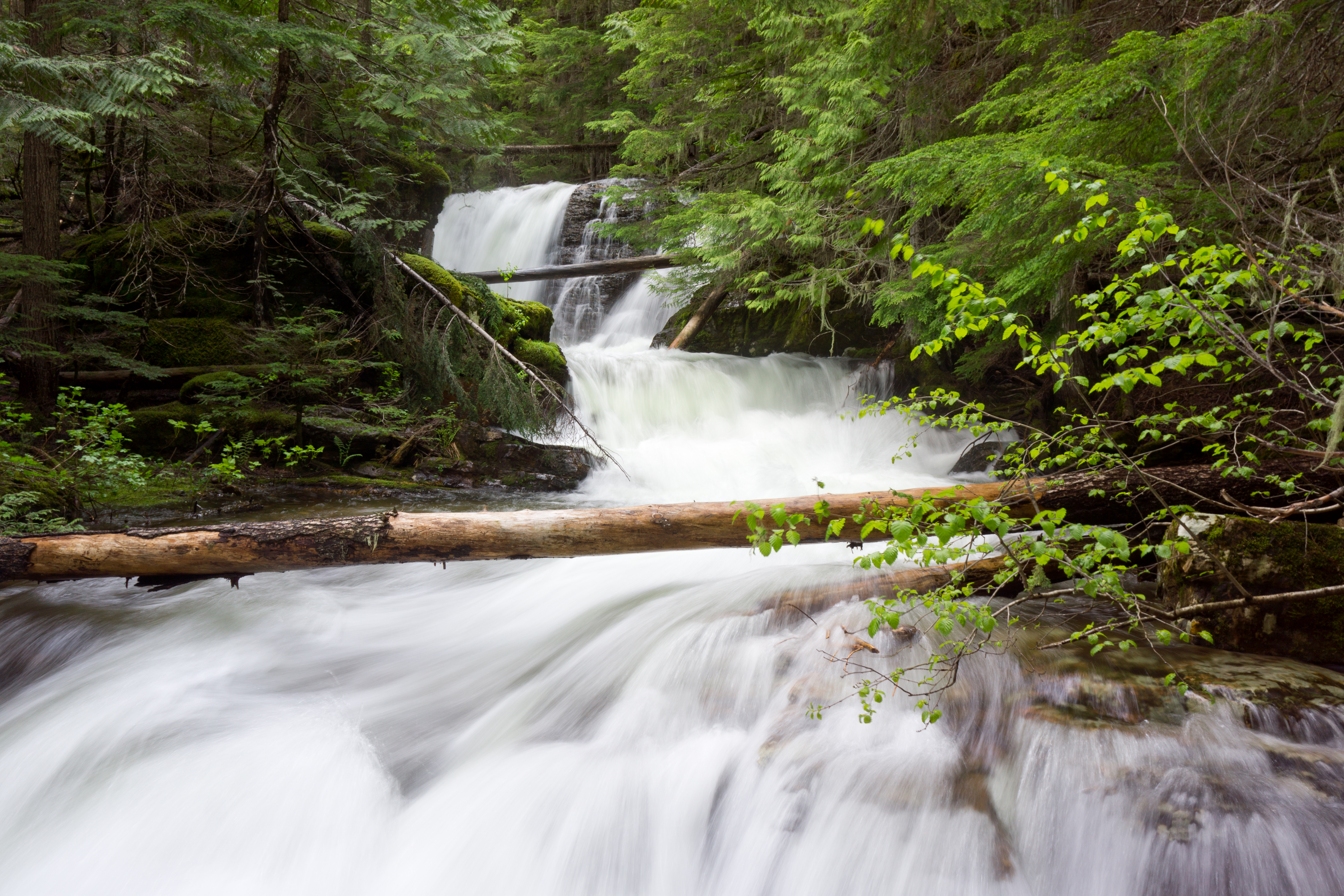
Flower Creek Falls
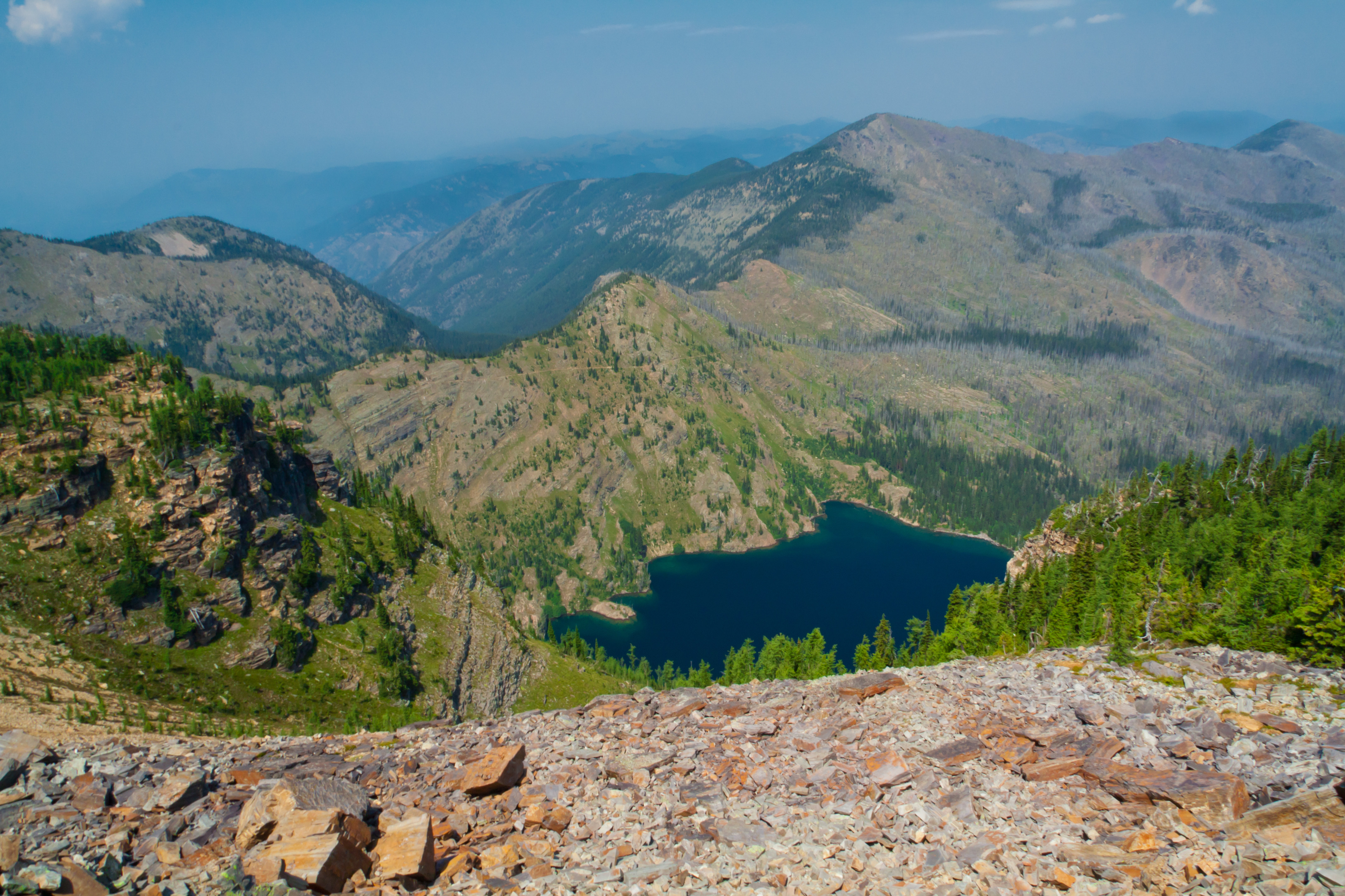
Upper Cedar Lake
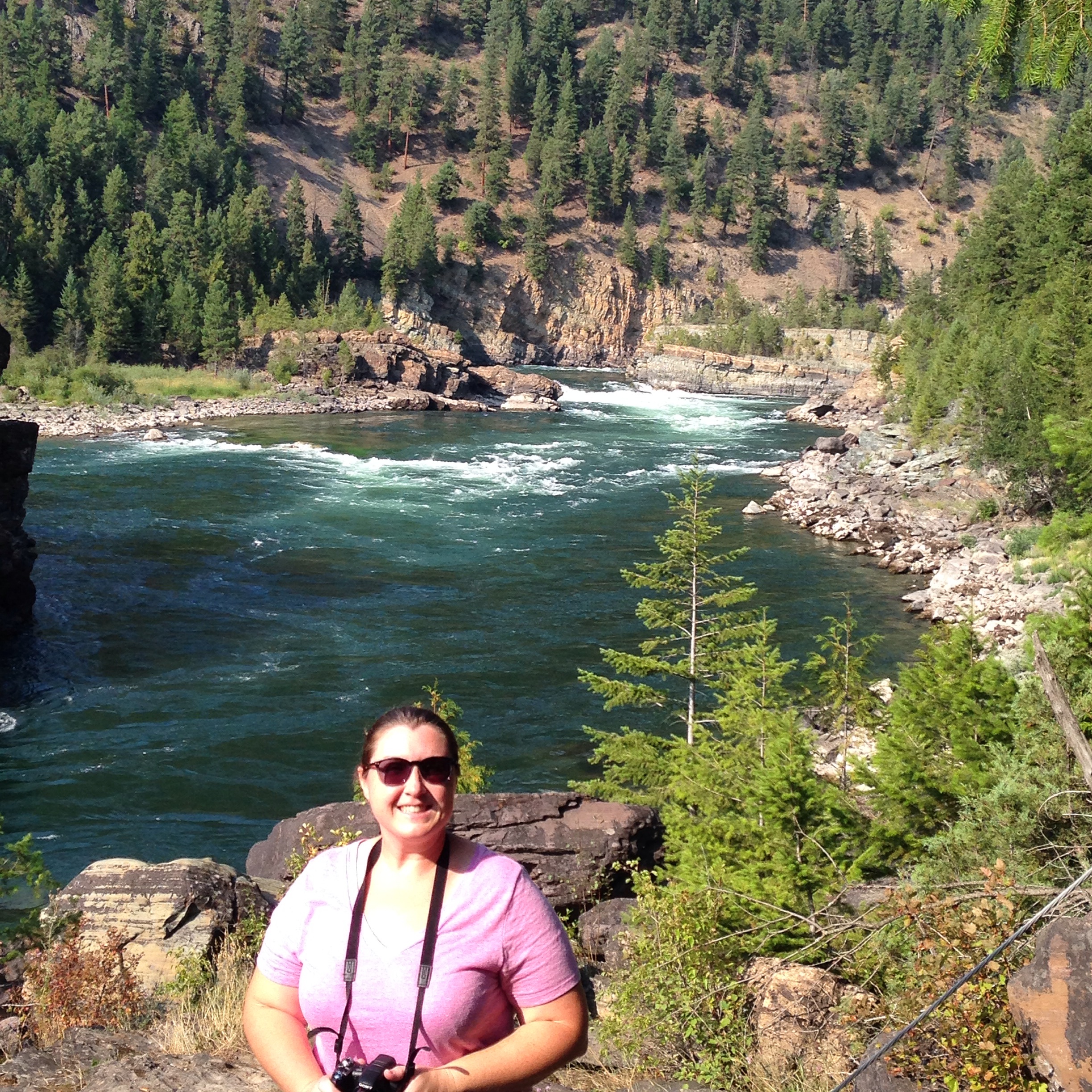
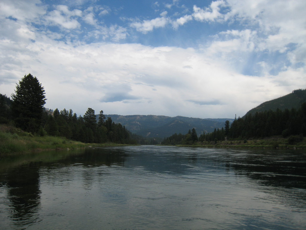
Kootenai Falls
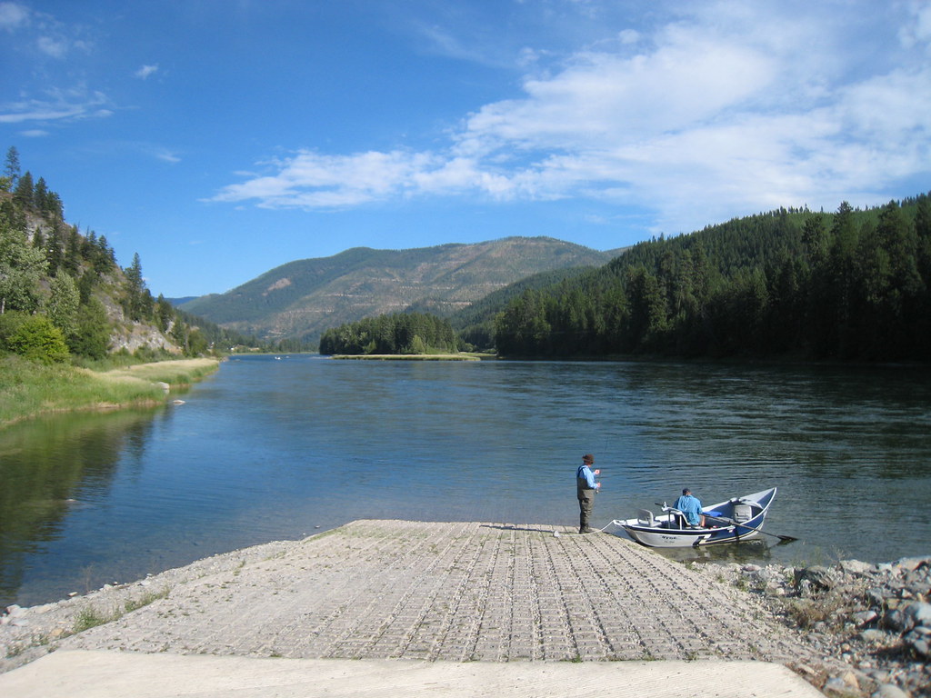
Float's end

Kootenai Falls in all its Glory
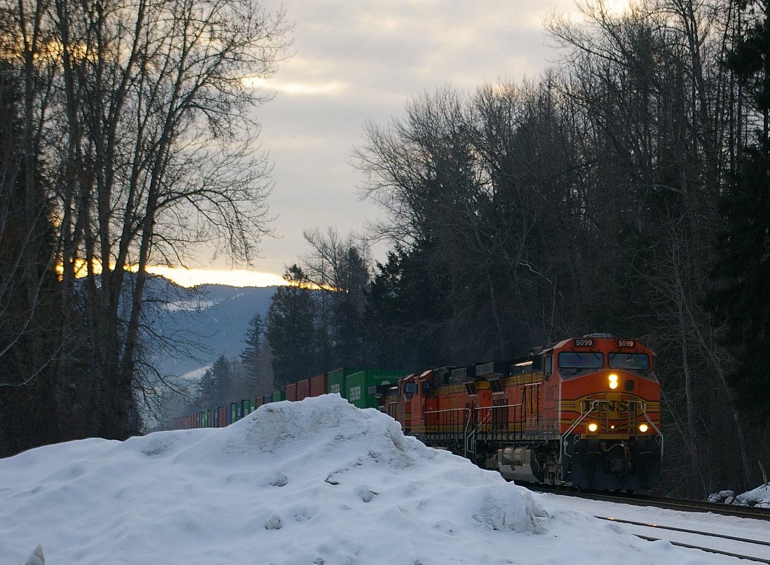
BNSF 5099 West
Friday the 13th in Libby Montana
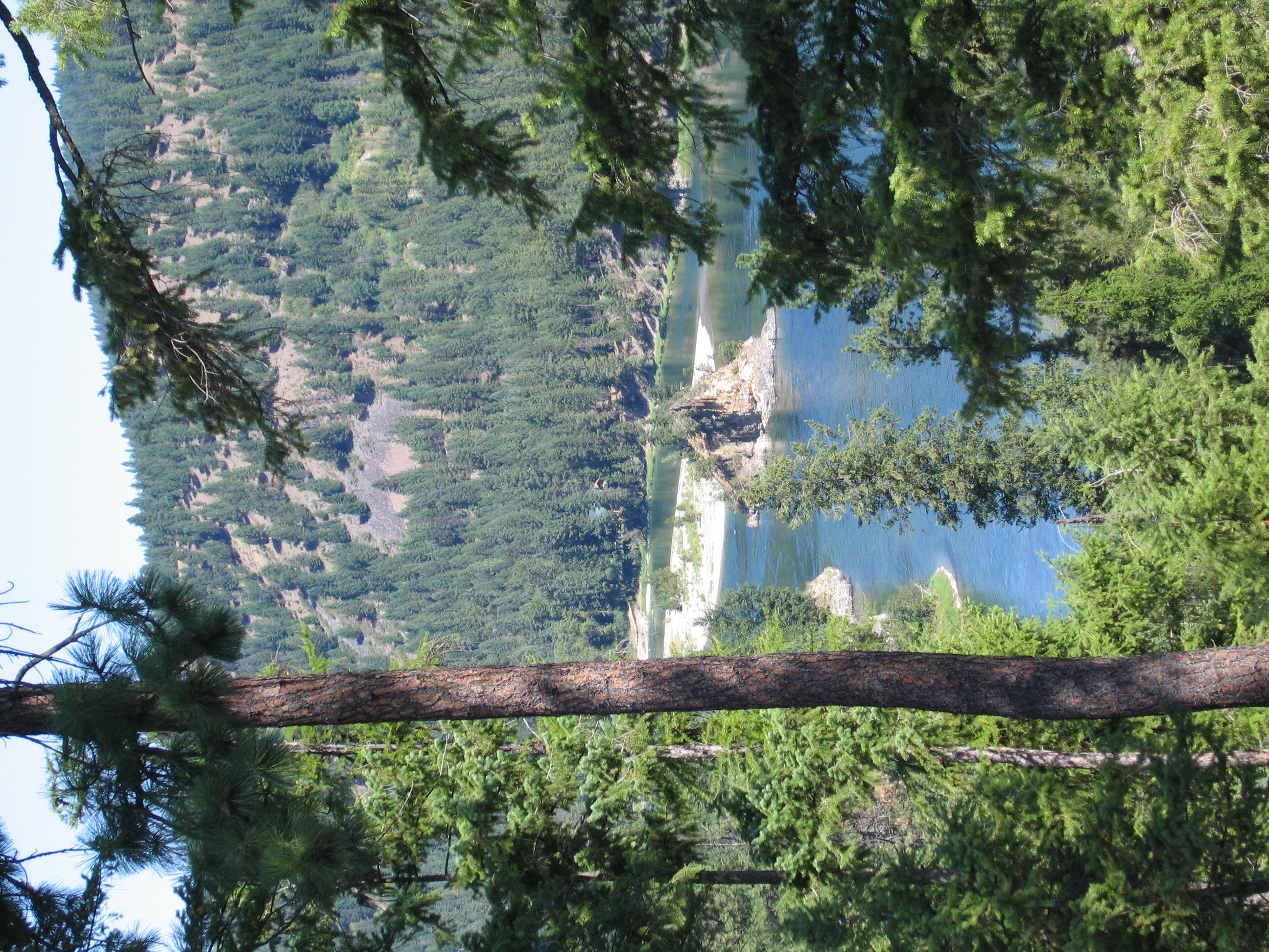
Kootenai River Valley

Upper Cedar Lake
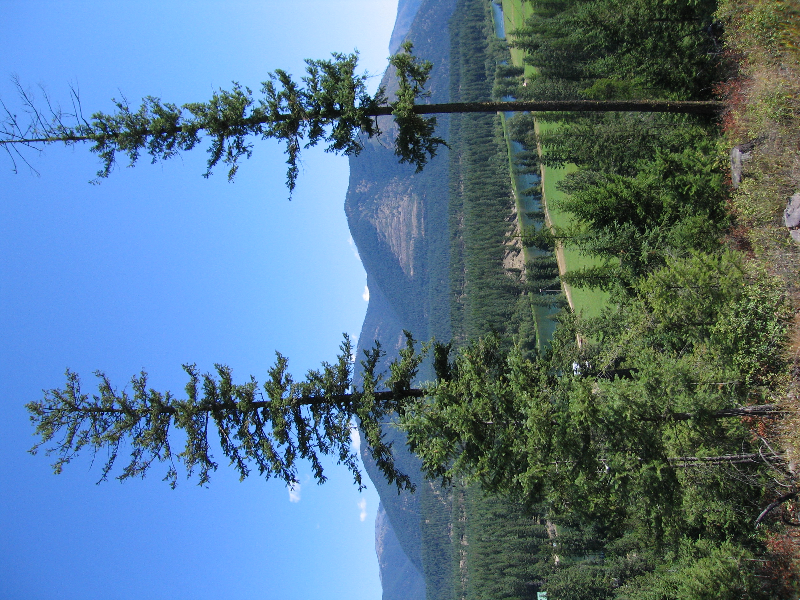
Kootenai River Valley
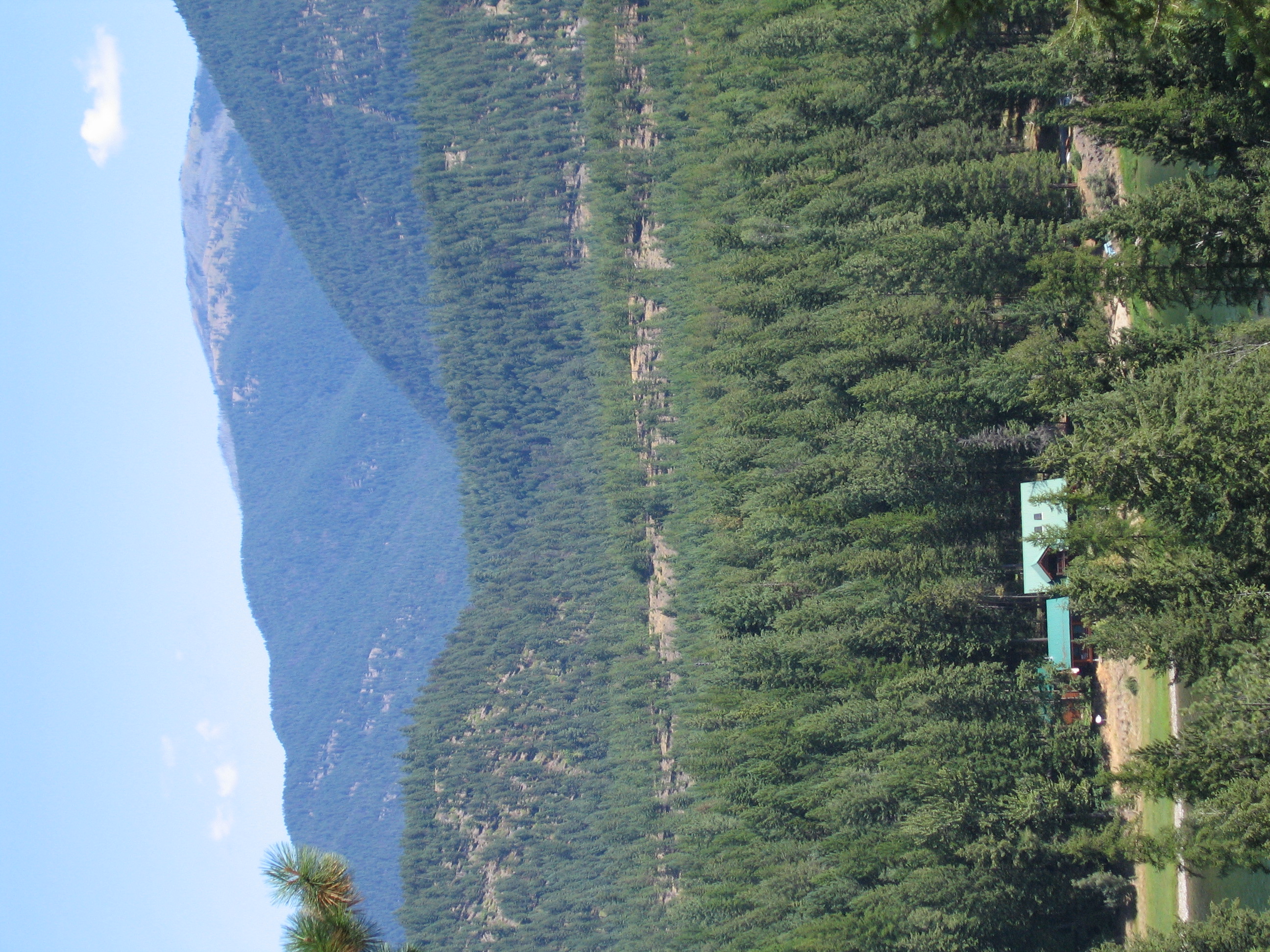
Kootenai River Valley
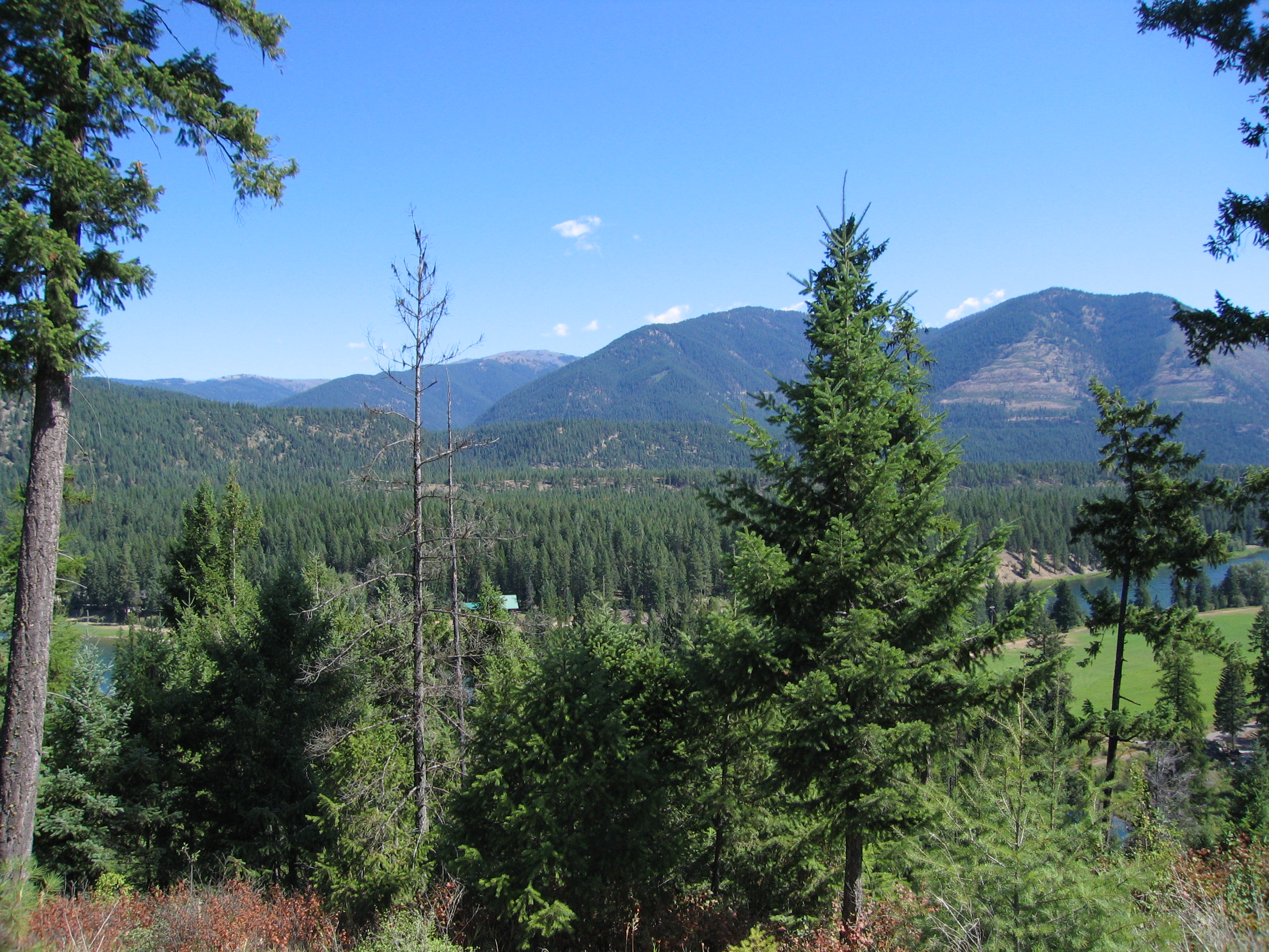
Kootenai River Valley
The Kootenai
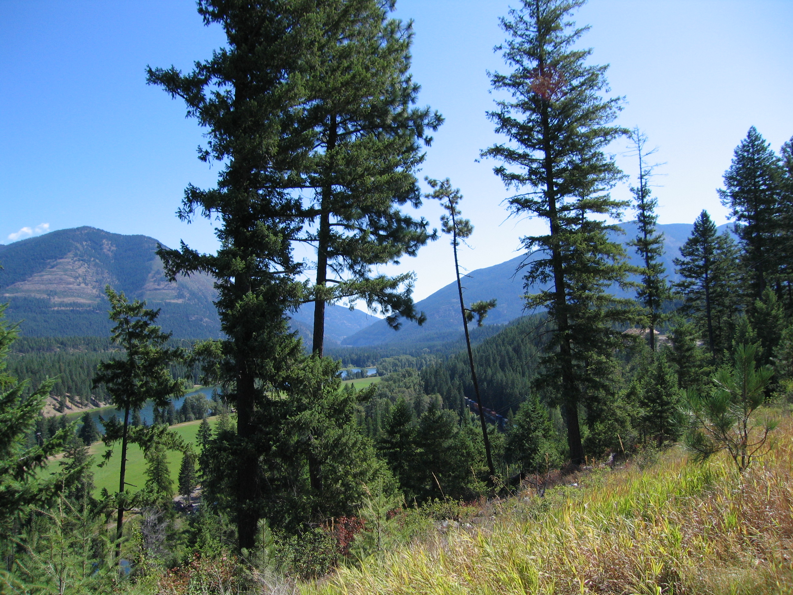
Kootenai River Valley near Libby
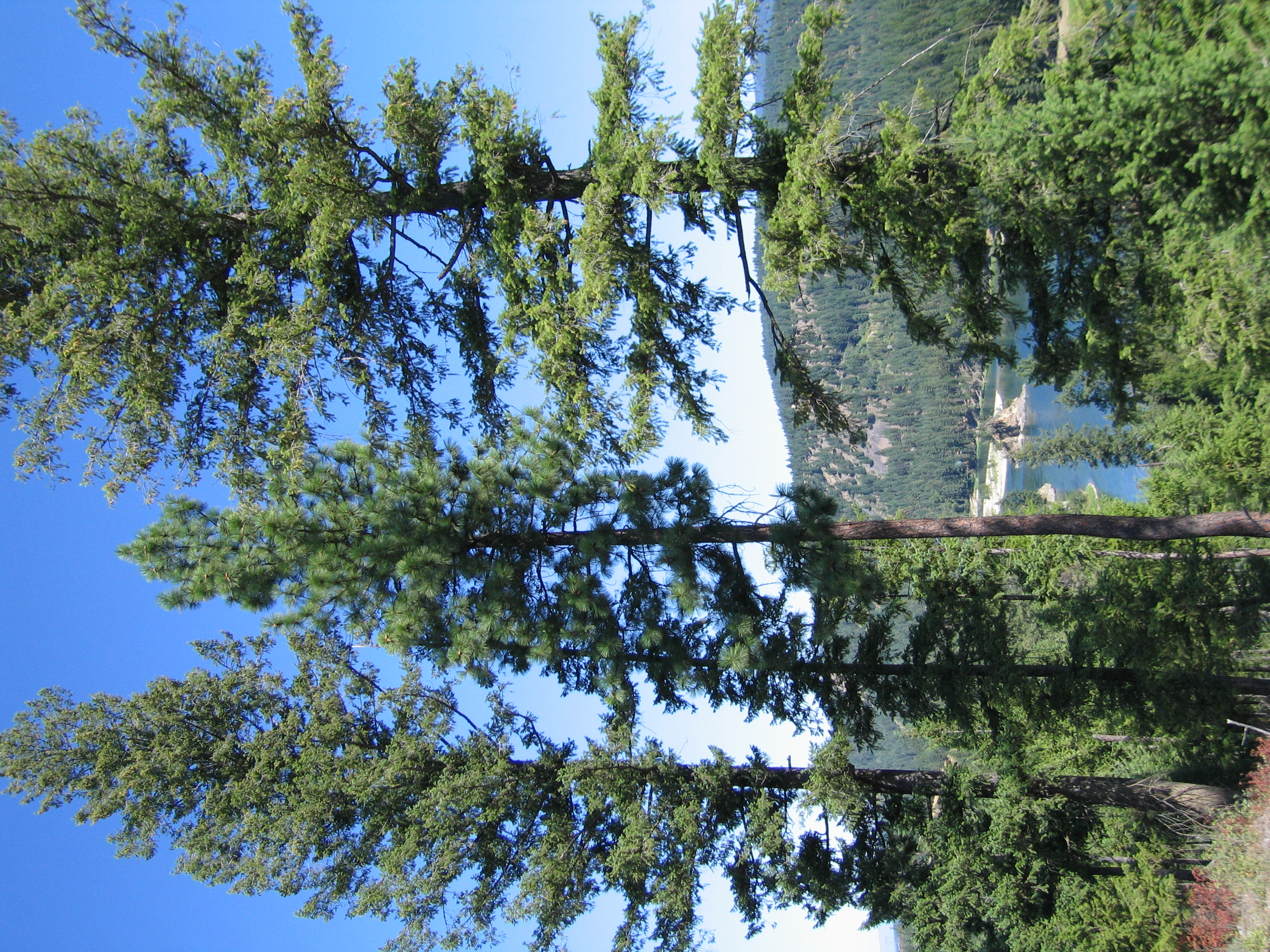
Kootenai River Valley
Topographic Map of Libby, MT, USA
Find elevation by address:

Places in Libby, MT, USA:
Places near Libby, MT, USA:
616 Blue Mountain Lookout Rd
US-2, Libby, MT, USA
Treasure Mountain
MT-37, Libby, MT, USA
Grambauer Mountain
Libby, MT, USA
Snowshoe Peak
Lincoln County
Kootenai Falls
Lake Creek Road
20 Lone Duck Ln
Troy
East Spokane Avenue
17 Mile Creek Road
12 Pillick Ridge Ln
Noxon, MT, USA
Ross Creek Cedars Scenic Area
Yaak Mountain Lookout
8932 Yaak River Rd
75 Thirteen Gulch Ln
Recent Searches:
- Elevation of Corso Fratelli Cairoli, 35, Macerata MC, Italy
- Elevation of Tallevast Rd, Sarasota, FL, USA
- Elevation of 4th St E, Sonoma, CA, USA
- Elevation of Black Hollow Rd, Pennsdale, PA, USA
- Elevation of Oakland Ave, Williamsport, PA, USA
- Elevation of Pedrógão Grande, Portugal
- Elevation of Klee Dr, Martinsburg, WV, USA
- Elevation of Via Roma, Pieranica CR, Italy
- Elevation of Tavkvetili Mountain, Georgia
- Elevation of Hartfords Bluff Cir, Mt Pleasant, SC, USA