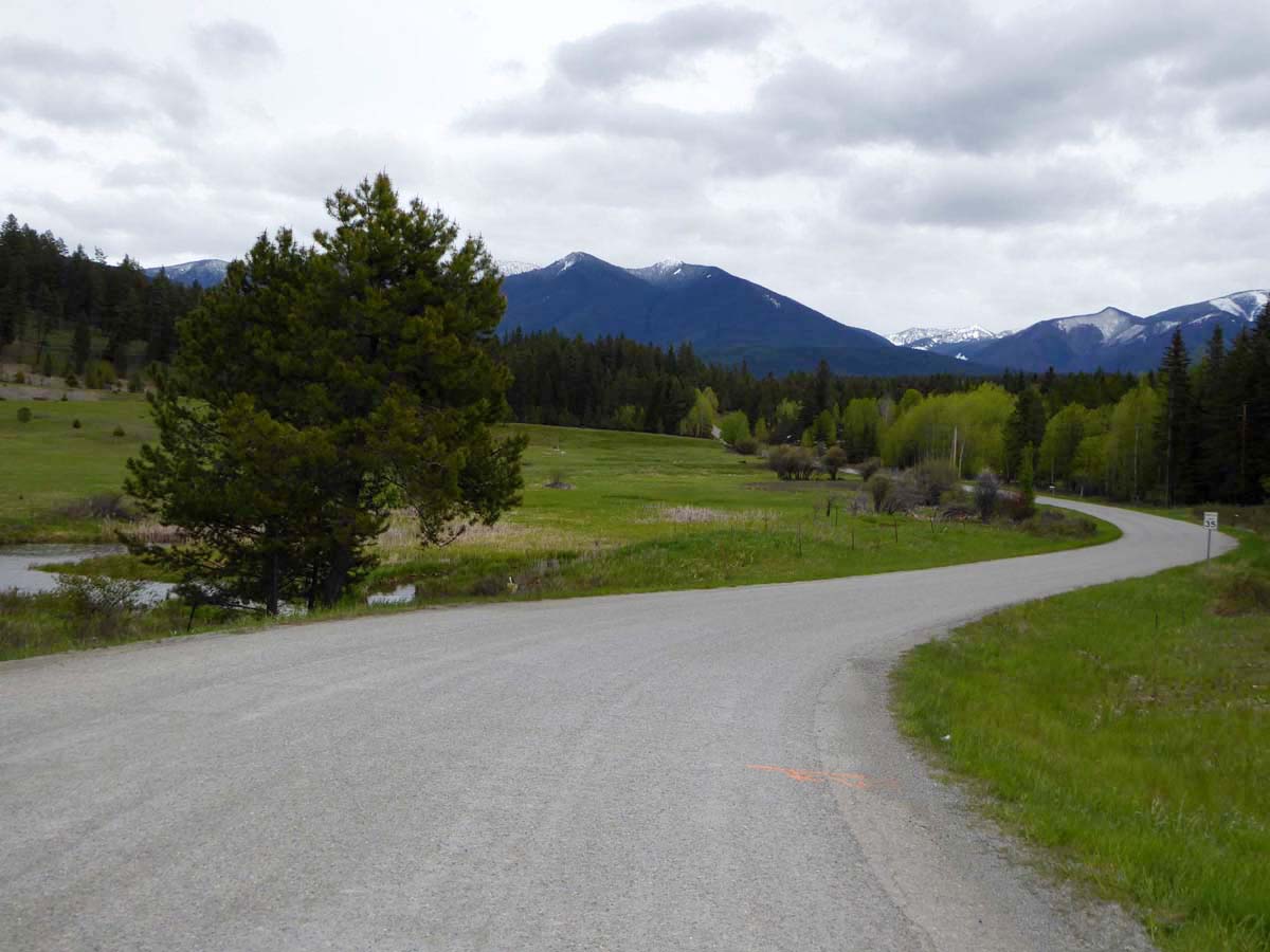
Elevation of Grave Creek Rd, Eureka, MT, USA
Location: United States > Montana > Lincoln County > Eureka >
Longitude: -114.90188
Latitude: 48.815168
Elevation: 906m / 2972feet
Barometric Pressure: 91KPa
Elevation Map:
Satellite Map:
Related Photos:

Pronghorn Clubtail [ Gomphus graslinellus ] male
Marston, Montana
Fortine, Montana 59918
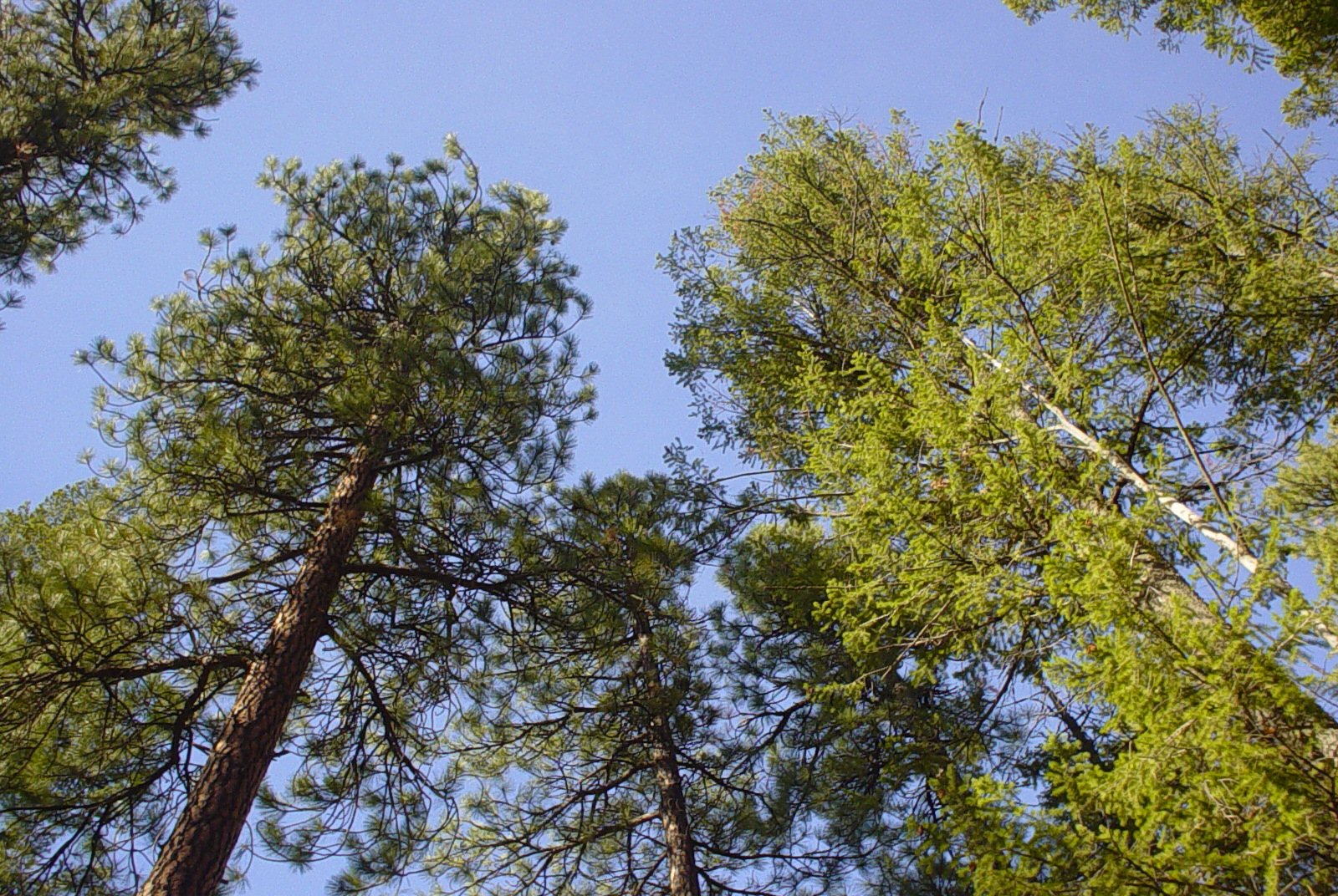
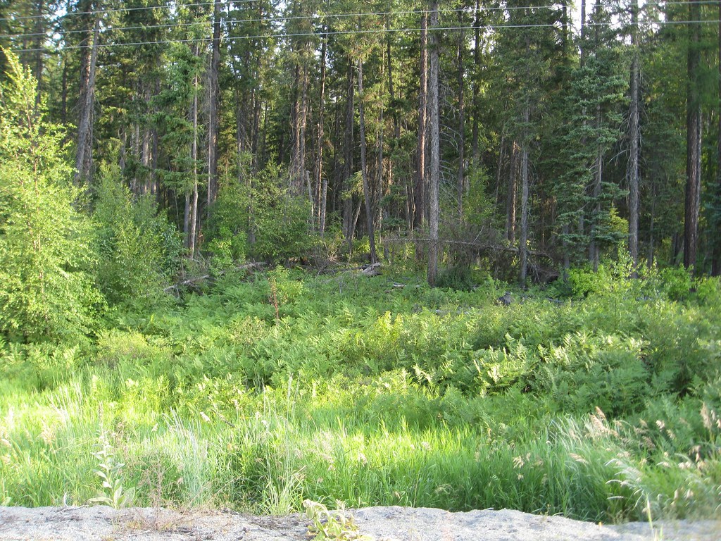
Trees and Sky

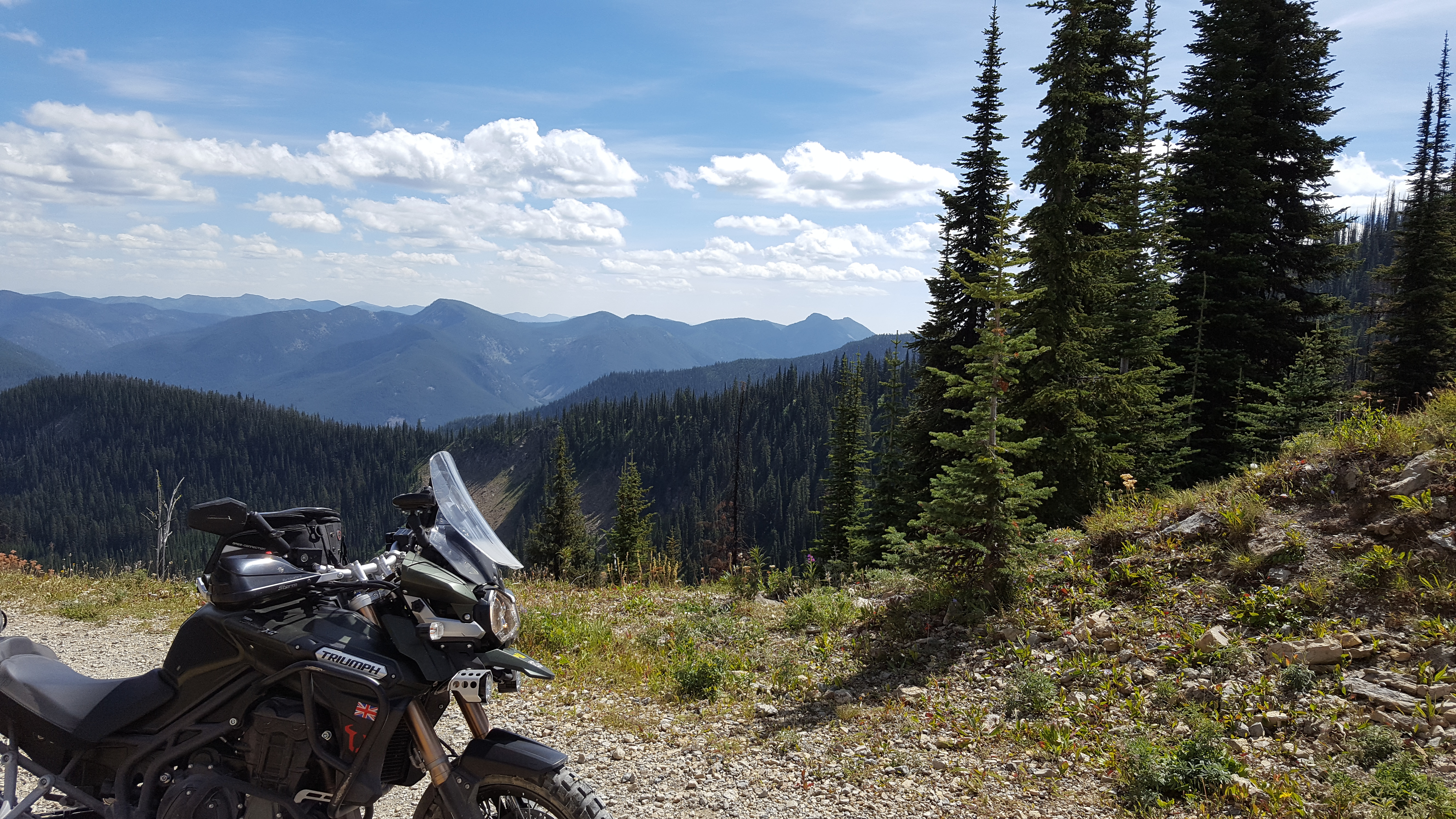
West from Mount Marston Lookout

Empire Builder
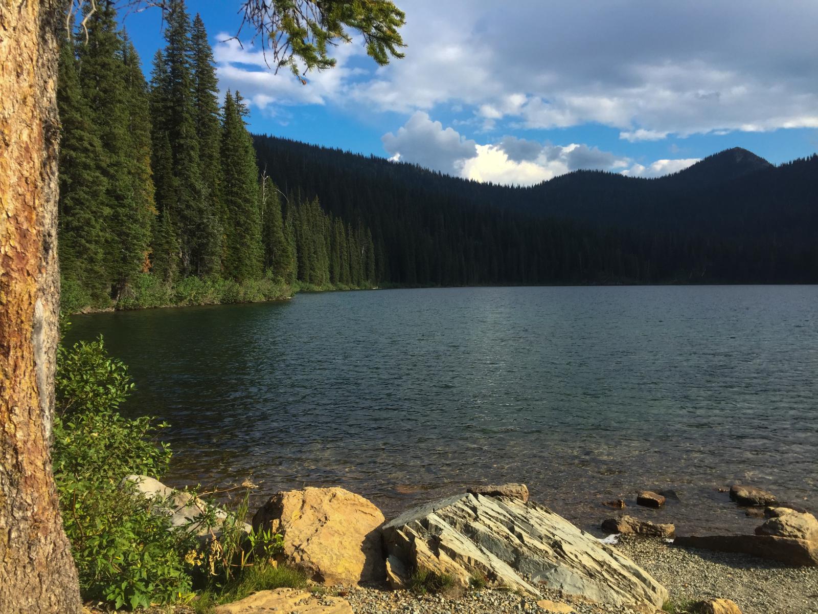
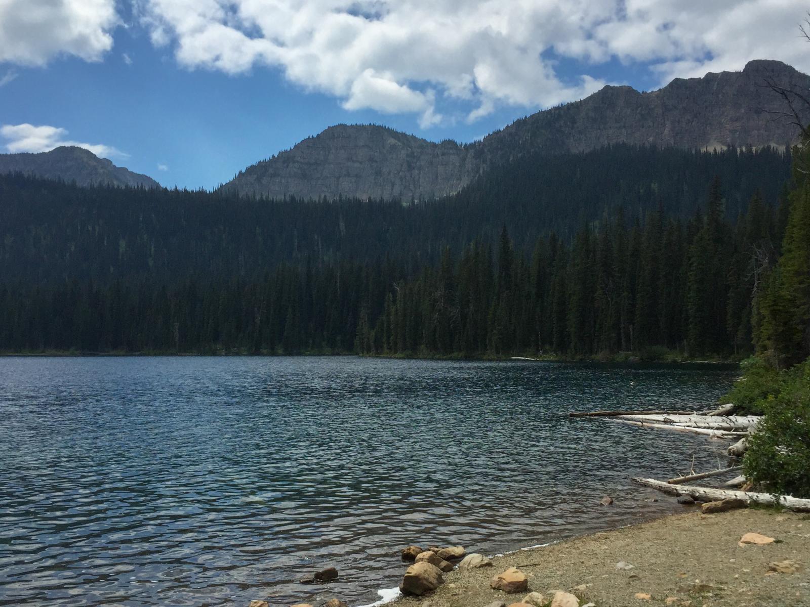
Big Therriault Lake, Kootenai National Forest
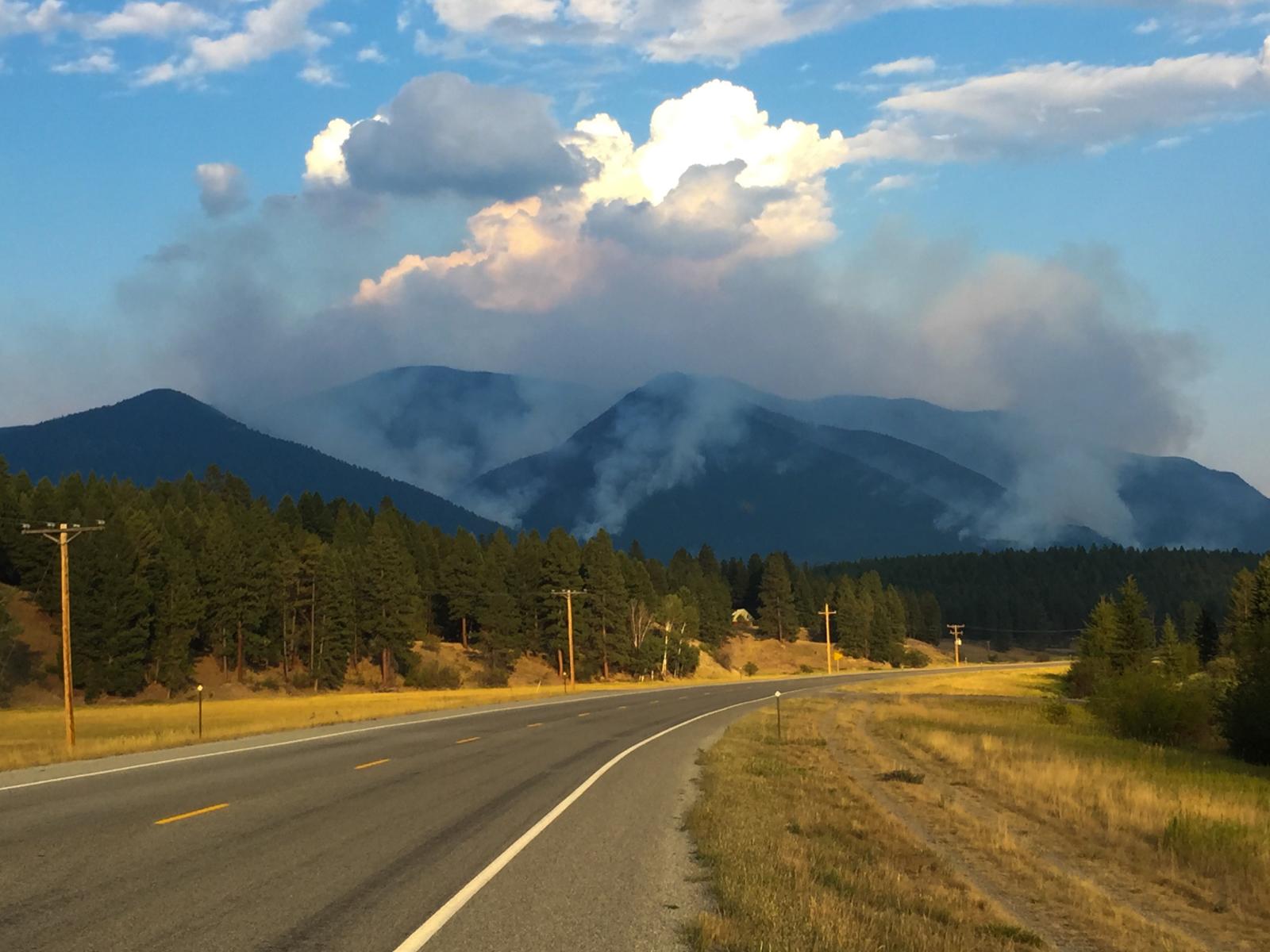
smoke from the Marston Fire near Fortine, Montana
picnic area along Big Therriault Lake, Kootenai National Forest
Glacier National Park
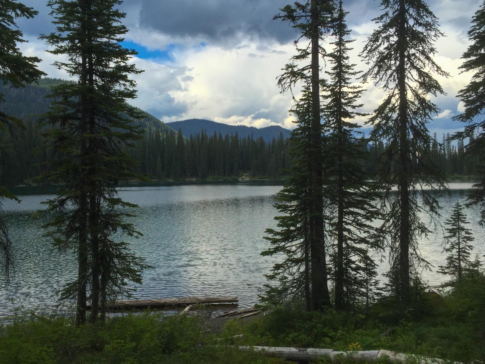
Clouds moving in over Little Therriault Lake, Kootenai National Forest
2010-08-02_whitefish5_014
2010-08-02_whitefish5_002
2010-08-02_whitefish5_021
2010-08-02_whitefish5_103
Marston Peak Look Out 2016
Topographic Map of Grave Creek Rd, Eureka, MT, USA
Find elevation by address:

Places near Grave Creek Rd, Eureka, MT, USA:
507 Vukonich Ln
Fortine
1st St N, Fortine, MT, USA
490 Griffith Creek Rd
Eureka, MT, USA
Ant Flat Rd, Fortine, MT, USA
2713 Marl Lake Creek Rd
Trego
Saint Clair Peak
Stahl Peak
677 Metzner Dr
Ksanka Peak
Little Therriault Lake Campground
467 Costich Lake Dr
Galton Range
Independence Peak
Poorman Mountain
Eureka
Mount Wam
Indian Springs Ranch
Recent Searches:
- Elevation of Jalan Senandin, Lutong, Miri, Sarawak, Malaysia
- Elevation of Bilohirs'k
- Elevation of 30 Oak Lawn Dr, Barkhamsted, CT, USA
- Elevation of Luther Road, Luther Rd, Auburn, CA, USA
- Elevation of Unnamed Road, Respublika Severnaya Osetiya — Alaniya, Russia
- Elevation of Verkhny Fiagdon, North Ossetia–Alania Republic, Russia
- Elevation of F. Viola Hiway, San Rafael, Bulacan, Philippines
- Elevation of Herbage Dr, Gulfport, MS, USA
- Elevation of Lilac Cir, Haldimand, ON N3W 2G9, Canada
- Elevation of Harrod Branch Road, Harrod Branch Rd, Kentucky, USA