Elevation of Esterbrook, WY, USA
Location: United States > Wyoming > Converse County >
Longitude: -105.36081
Latitude: 42.4116352
Elevation: 1988m / 6522feet
Barometric Pressure: 80KPa
Elevation Map:
Satellite Map:
Related Photos:

sous les nuages
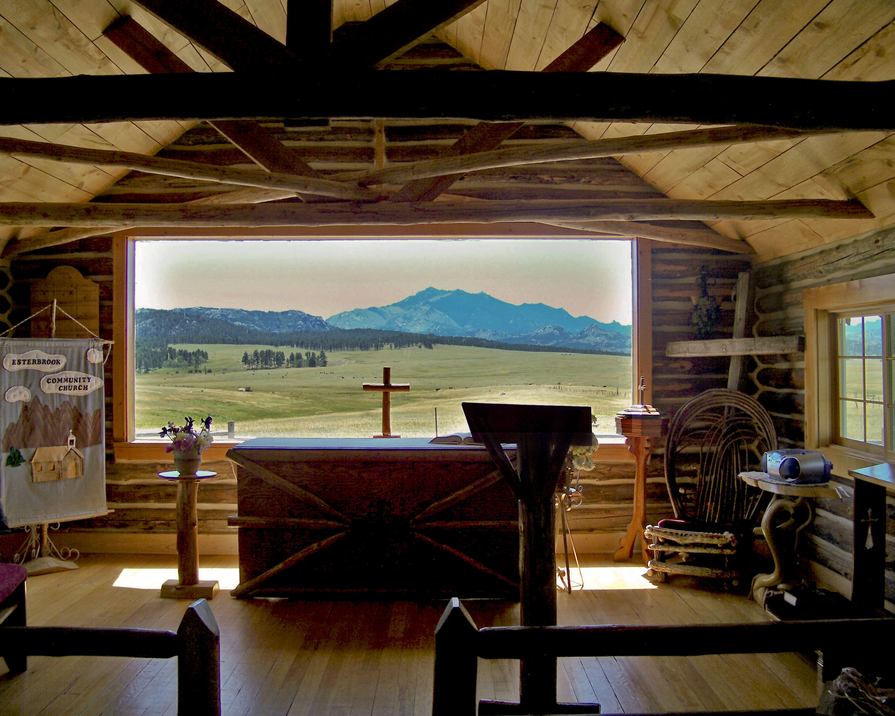
Esterbrook Church - view of Laramie Peak

Barn and Horse Corall

the Gospel of John

The White School

BLUE HOLLY? - ON HORSESHOE CREEK IN LARAMIE RANGE
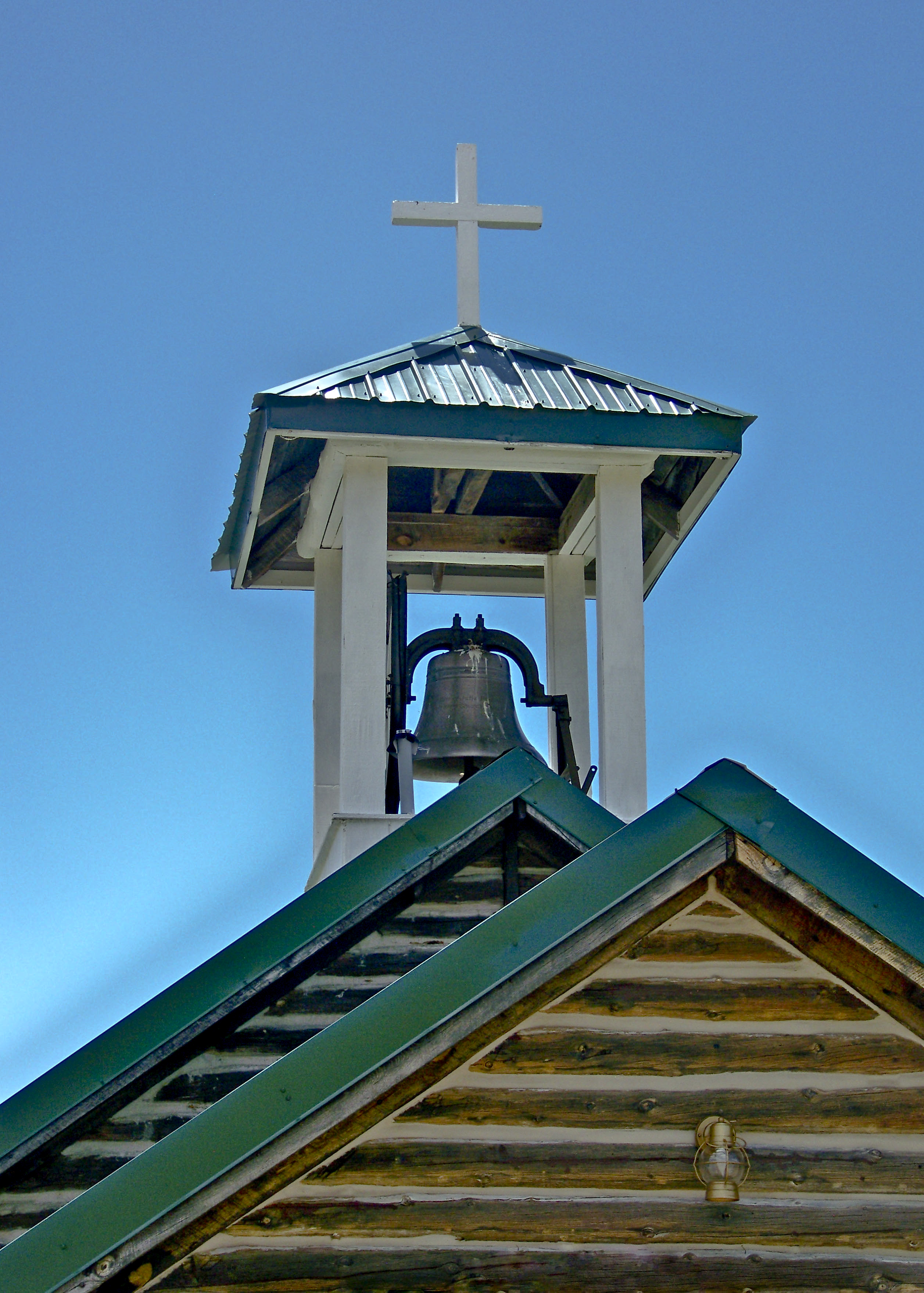
ESTERBROOK CHAPEL - WY
Topographic Map of Esterbrook, WY, USA
Find elevation by address:

Places near Esterbrook, WY, USA:
2951 Esterbrook Rd
65 Us Frst Service Rd 633
Harris Park Road
1154 Upper Fish Creek Rd
Esterbrook Rd, Douglas, WY, USA
Irvine Rd, Douglas, WY, USA
Orin
Anvil Peak
26 Sierra
910 Washington St
17 Mountainview Rd
Glendo
Douglas
332 N 4th St
Cassa Rd, Glendo, WY, USA
Main St Lost Spring, Shawnee, WY, USA
0 Cedar Top Rd
Guernsey State Park
Guernsey
18 S Wyoming Ave, Guernsey, WY, USA
Recent Searches:
- Elevation of Tenjo, Cundinamarca, Colombia
- Elevation of Côte-des-Neiges, Montreal, QC H4A 3J6, Canada
- Elevation of Bobcat Dr, Helena, MT, USA
- Elevation of Zu den Ihlowbergen, Althüttendorf, Germany
- Elevation of Badaber, Peshawar, Khyber Pakhtunkhwa, Pakistan
- Elevation of SE Heron Loop, Lincoln City, OR, USA
- Elevation of Slanický ostrov, 01 Námestovo, Slovakia
- Elevation of Spaceport America, Co Rd A, Truth or Consequences, NM, USA
- Elevation of Warwick, RI, USA
- Elevation of Fern Rd, Whitmore, CA, USA