Elevation of Esterbrook Rd, Douglas, WY, USA
Location: United States > Wyoming > Converse County > Douglas >
Longitude: -105.39829
Latitude: 42.409976
Elevation: 1966m / 6450feet
Barometric Pressure: 80KPa
Elevation Map:
Satellite Map:
Related Photos:
sous les nuages

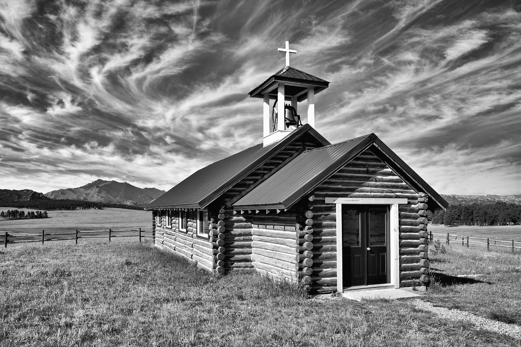
Esterbrook Church

Esterbrook Church - view of Laramie Peak

IMAG0700

Diamond Ring

The White School

Eclipse 2017

Solar Eclipse, 21 August, 2017

2017-07-13_15-09-42 Wyoming Scouting Trip - 7D__5160_stitch

2017-07-13_15-09-36 Wyoming Scouting Trip - 7D__5155

2017-07-13_15-09-12 Wyoming Scouting Trip - 7D__5149

2017-07-13_15-04-44 Wyoming Scouting Trip - 7D__5136

2017-07-13_15-01-46 Wyoming Scouting Trip - 7D__5128

2017-07-13_14-41-15 Wyoming Scouting Trip - IMG_3311

the Gospel of John

BLUE HOLLY? - ON HORSESHOE CREEK IN LARAMIE RANGE
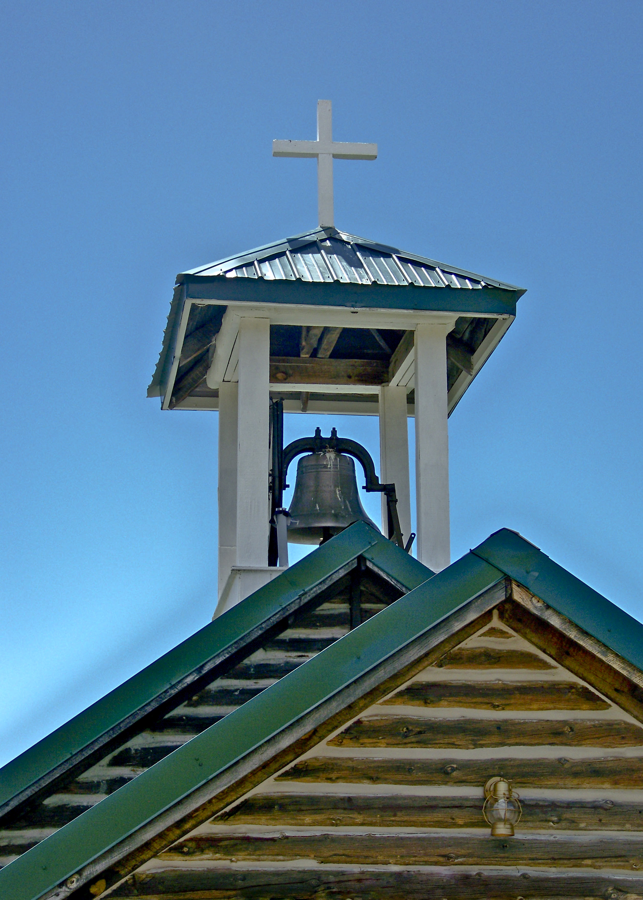
ESTERBROOK CHAPEL - WY
Topographic Map of Esterbrook Rd, Douglas, WY, USA
Find elevation by address:

Places near Esterbrook Rd, Douglas, WY, USA:
Esterbrook
65 Us Frst Service Rd 633
Esterbrook Rd, Douglas, WY, USA
Harris Park Road
1154 Upper Fish Creek Rd
Irvine Rd, Douglas, WY, USA
26 Sierra
Orin
17 Mountainview Rd
910 Washington St
Anvil Peak
Douglas
332 N 4th St
Glendo
Cassa Rd, Glendo, WY, USA
Main St Lost Spring, Shawnee, WY, USA
0 Cedar Top Rd
Converse County
Guernsey State Park
Guernsey
Recent Searches:
- Elevation of Congressional Dr, Stevensville, MD, USA
- Elevation of Bellview Rd, McLean, VA, USA
- Elevation of Stage Island Rd, Chatham, MA, USA
- Elevation of Shibuya Scramble Crossing, 21 Udagawacho, Shibuya City, Tokyo -, Japan
- Elevation of Jadagoniai, Kaunas District Municipality, Lithuania
- Elevation of Pagonija rock, Kranto 7-oji g. 8"N, Kaunas, Lithuania
- Elevation of Co Rd 87, Jamestown, CO, USA
- Elevation of Tenjo, Cundinamarca, Colombia
- Elevation of Côte-des-Neiges, Montreal, QC H4A 3J6, Canada
- Elevation of Bobcat Dr, Helena, MT, USA